Day 17, 5/20, Buckhorn Ski Club, M-394, 25mi

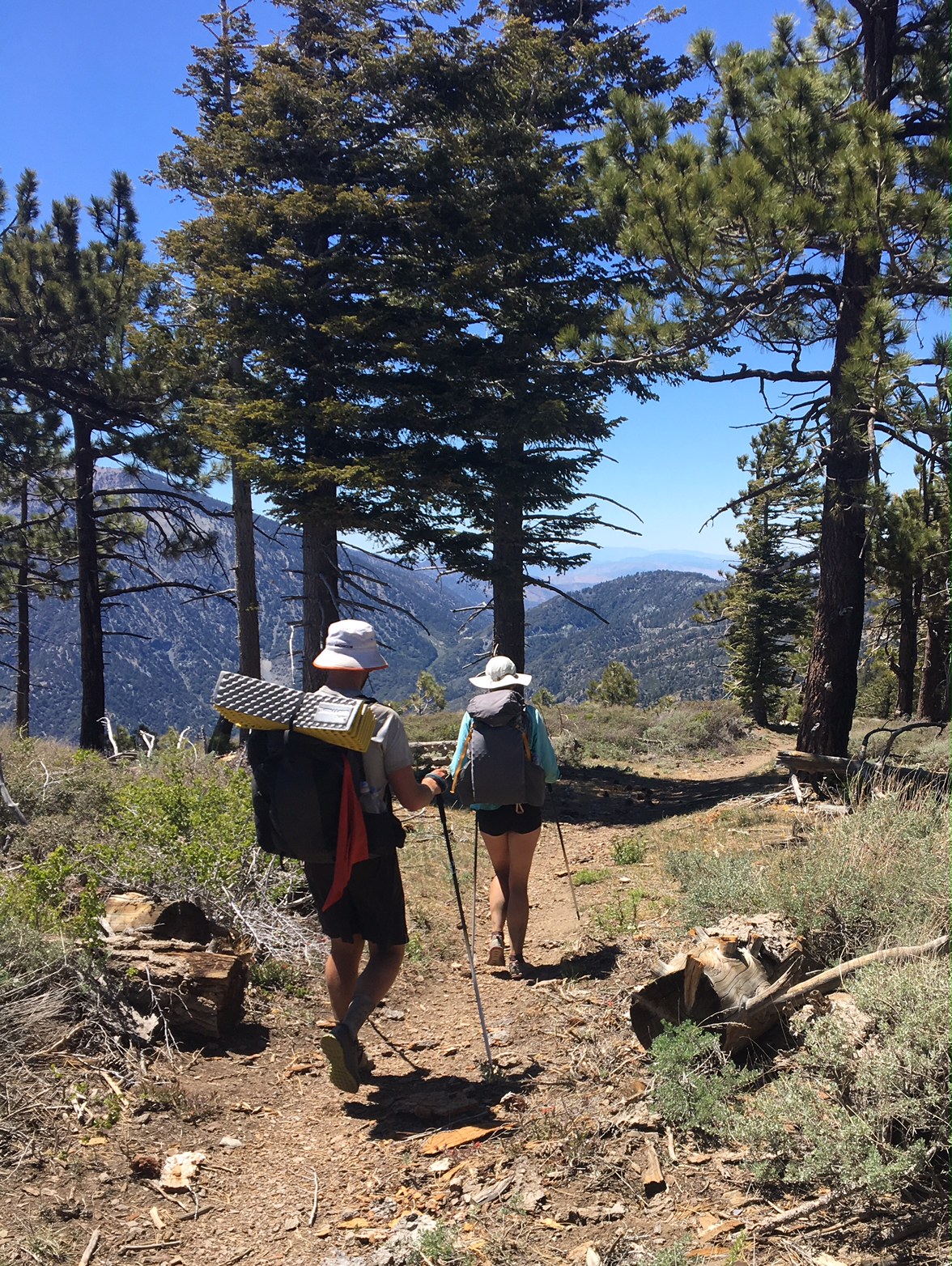
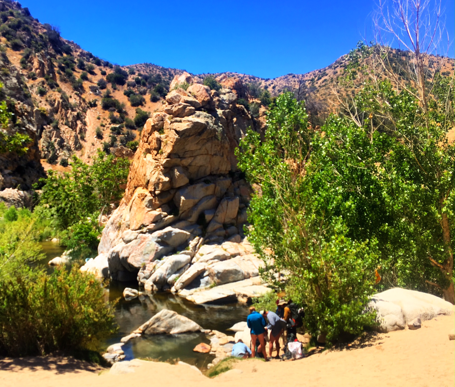
A busy day on the trail…being that it’s Saturday and less than an hour from LA there were a lot of day trippers, weekenders and scout groups.

I’ve made a pretty good dent so far but 2277 miles to go is definitely an overwhelming number!

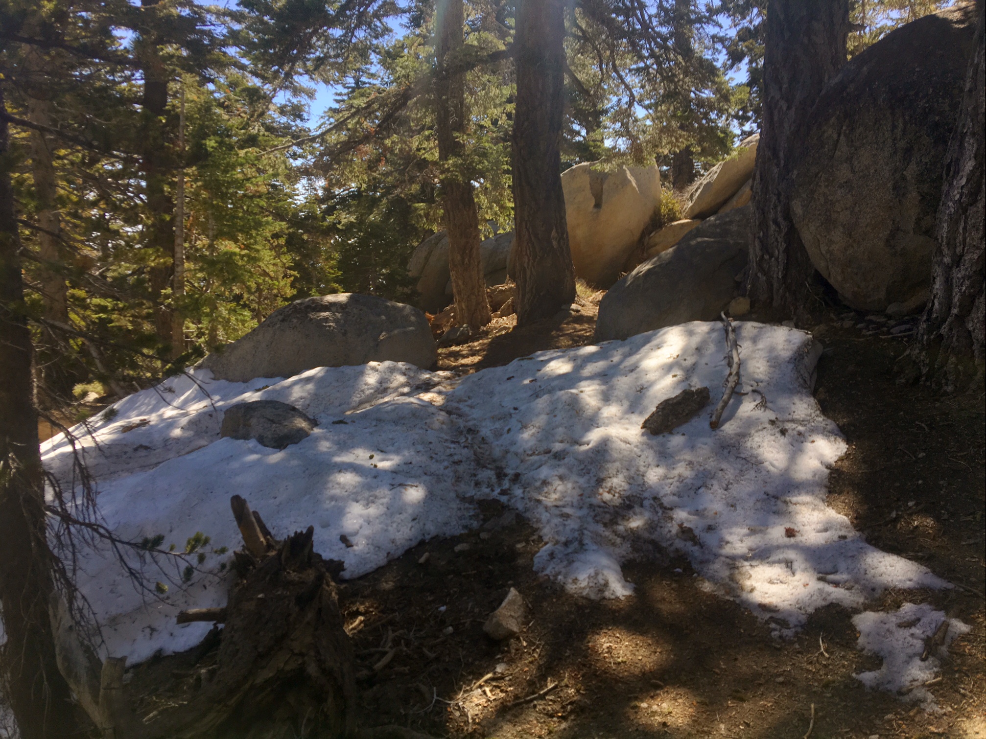
Luckily, someone recently mowed the trail 😉

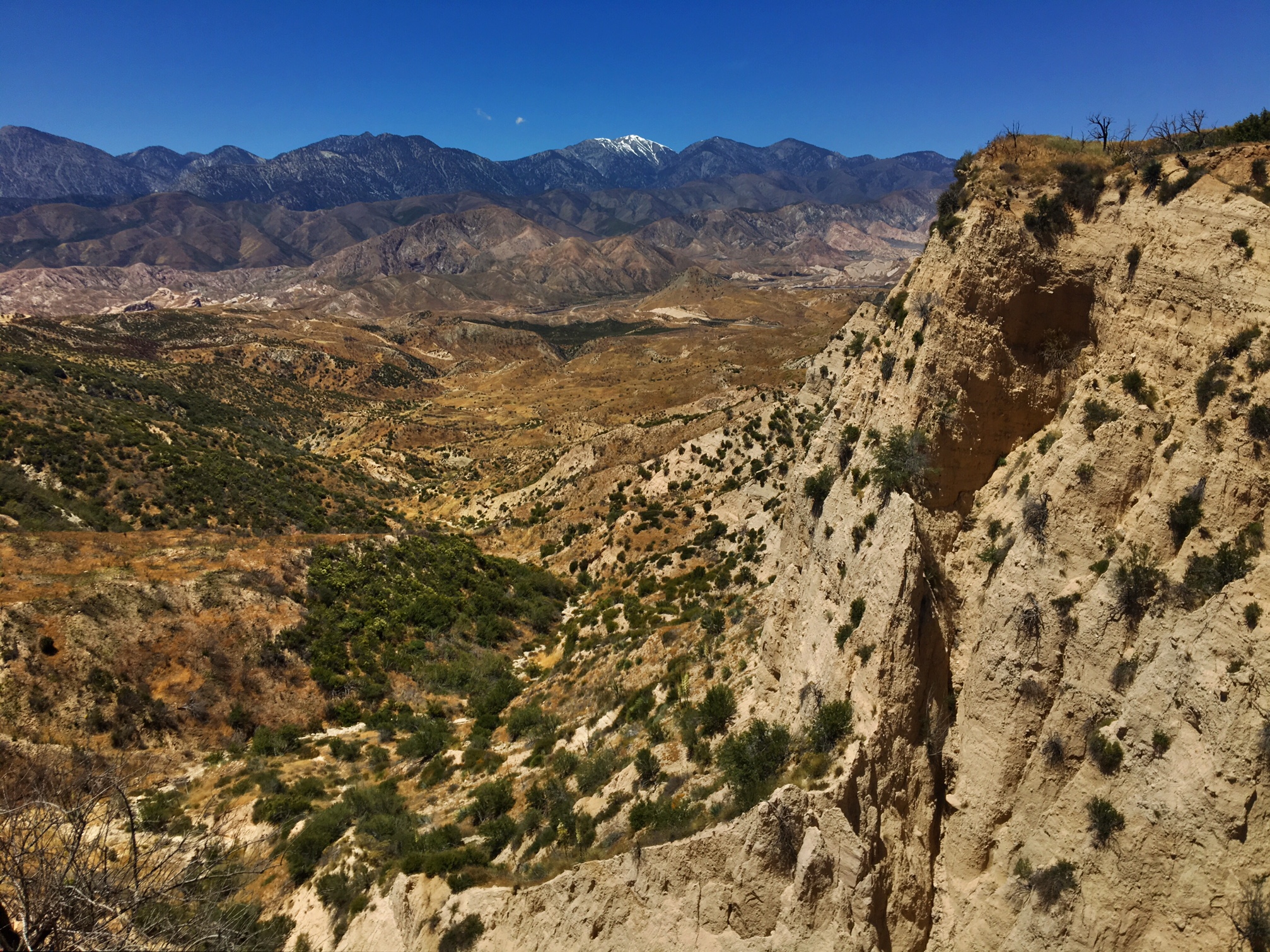
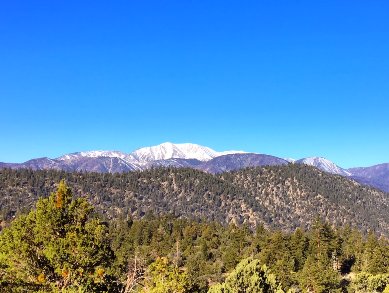
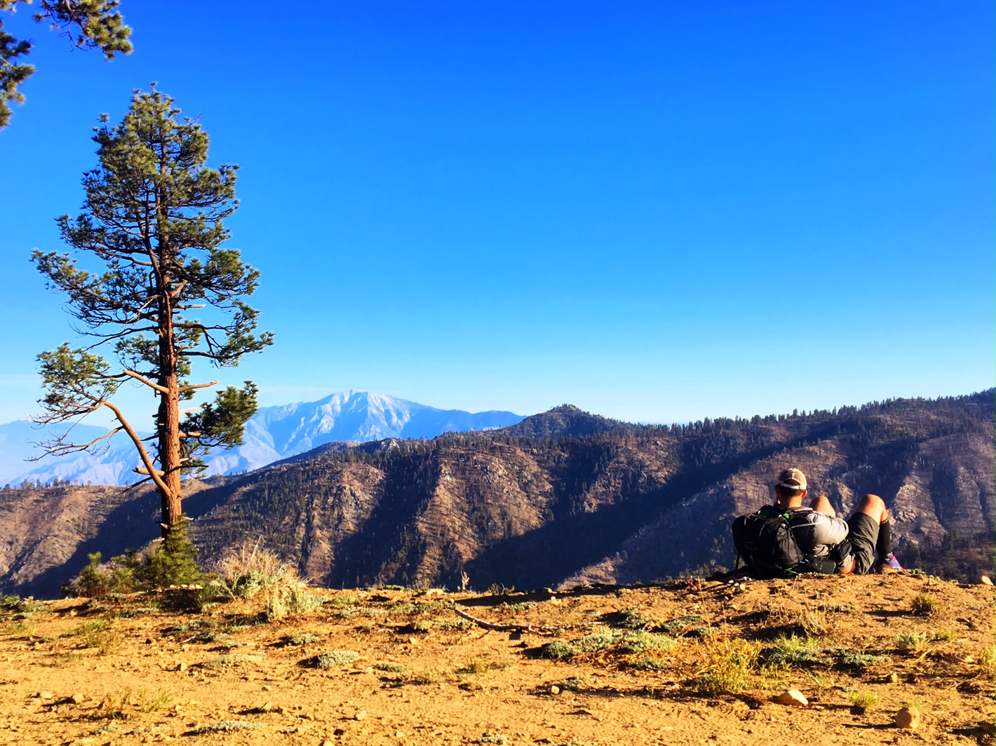
On top of Mount Baden-Powell (~9500′)

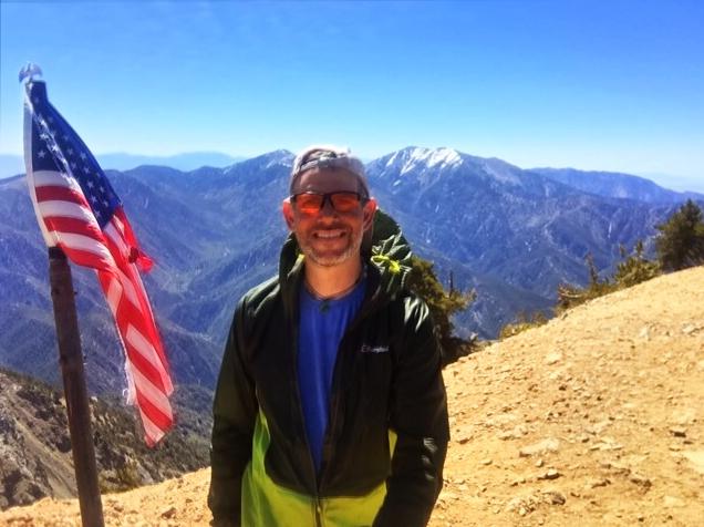
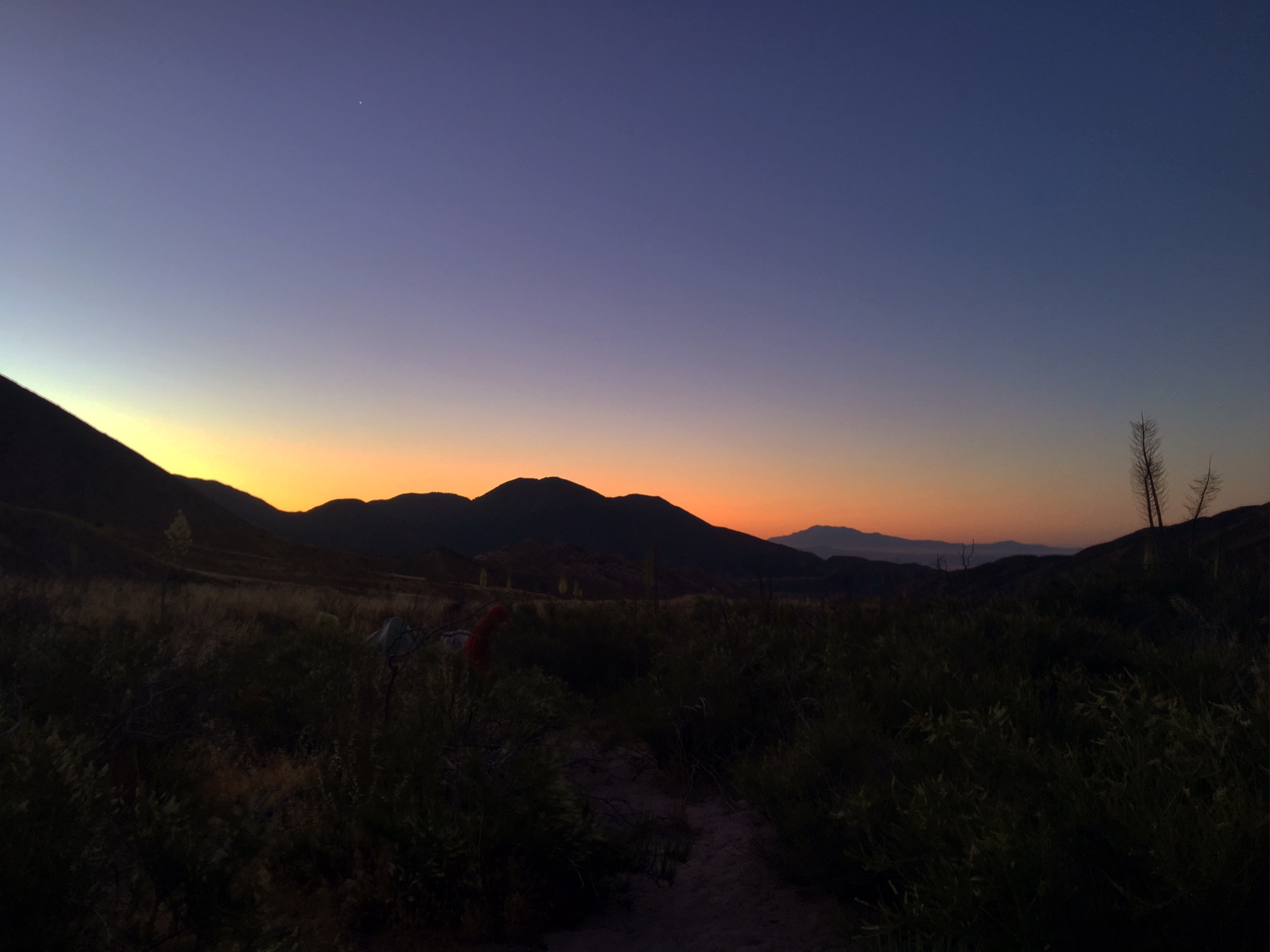
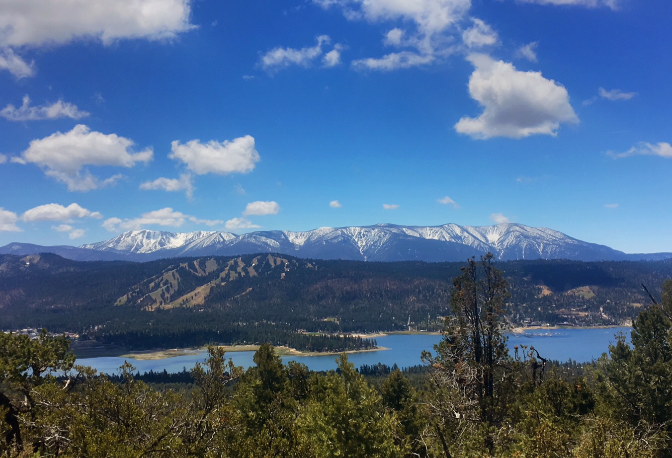
Although difficult to see in this pic, the snow covered High Sierras are on the horizon. Facing the other direction I could easily see downtown LA and just about make out the ocean.

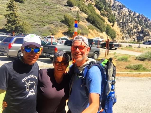
This is Jorge and his wife Marie who I chatted with while having lunch at a trailhead picnic table. Jorge did similar mileage to me today (25 miles) but he ran it in ~4 hours. Jorge was Ultra Runner of the Year in 2010.

A Buddy-Look-a-Like. His name is Spotty 🙂

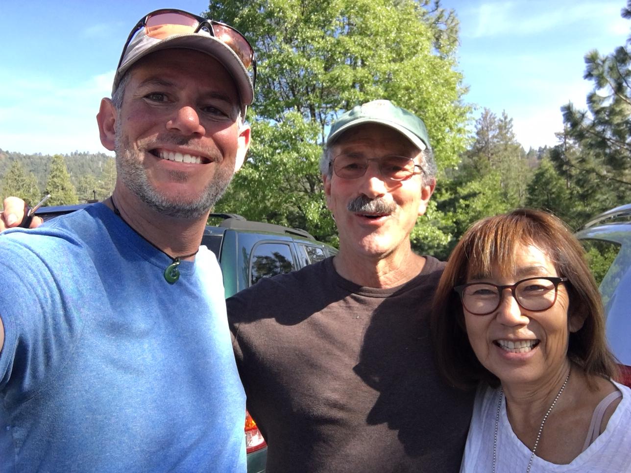
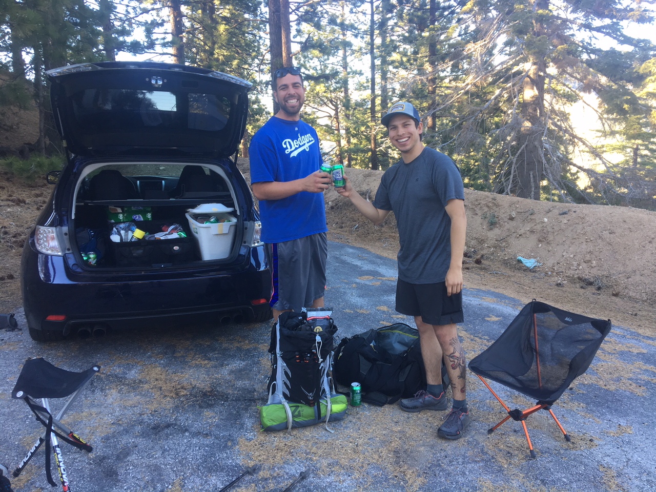
These guys from LA offered me a nice cold 7-Up and a comfy chair while walking a short stretch along the road.

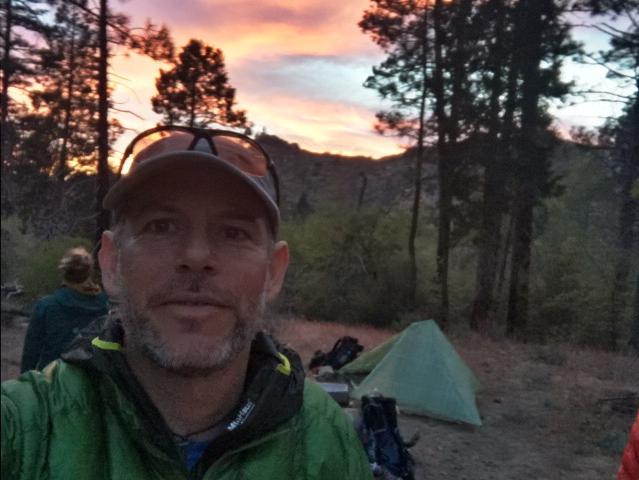
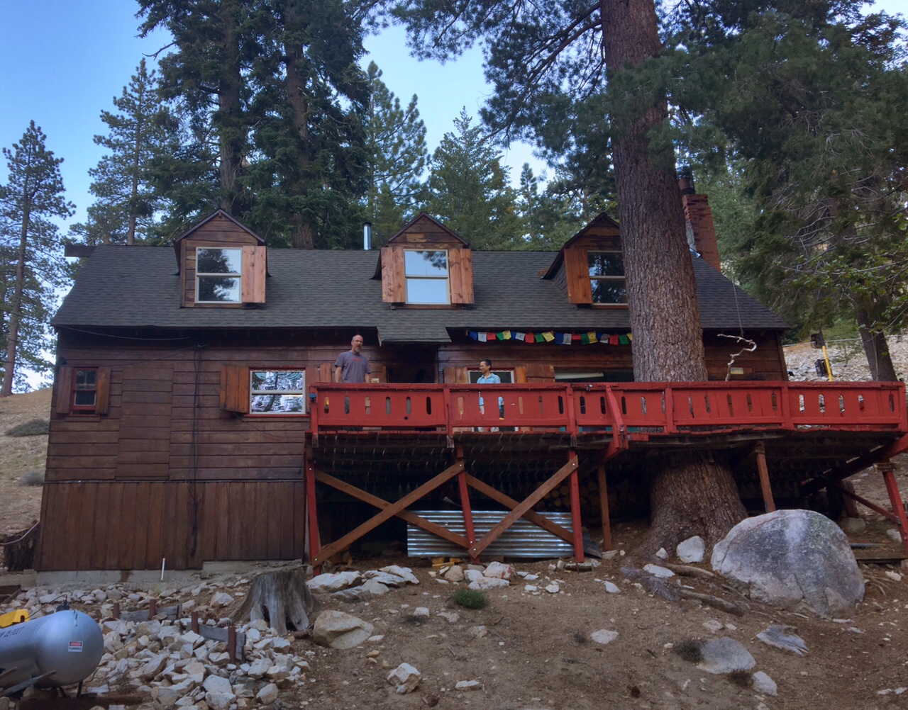
Home for the night was the Buckhorn Ski Club Lodge (more like a clubhouse). They literally flagged me down to make sure I knew I could stay there for the night.

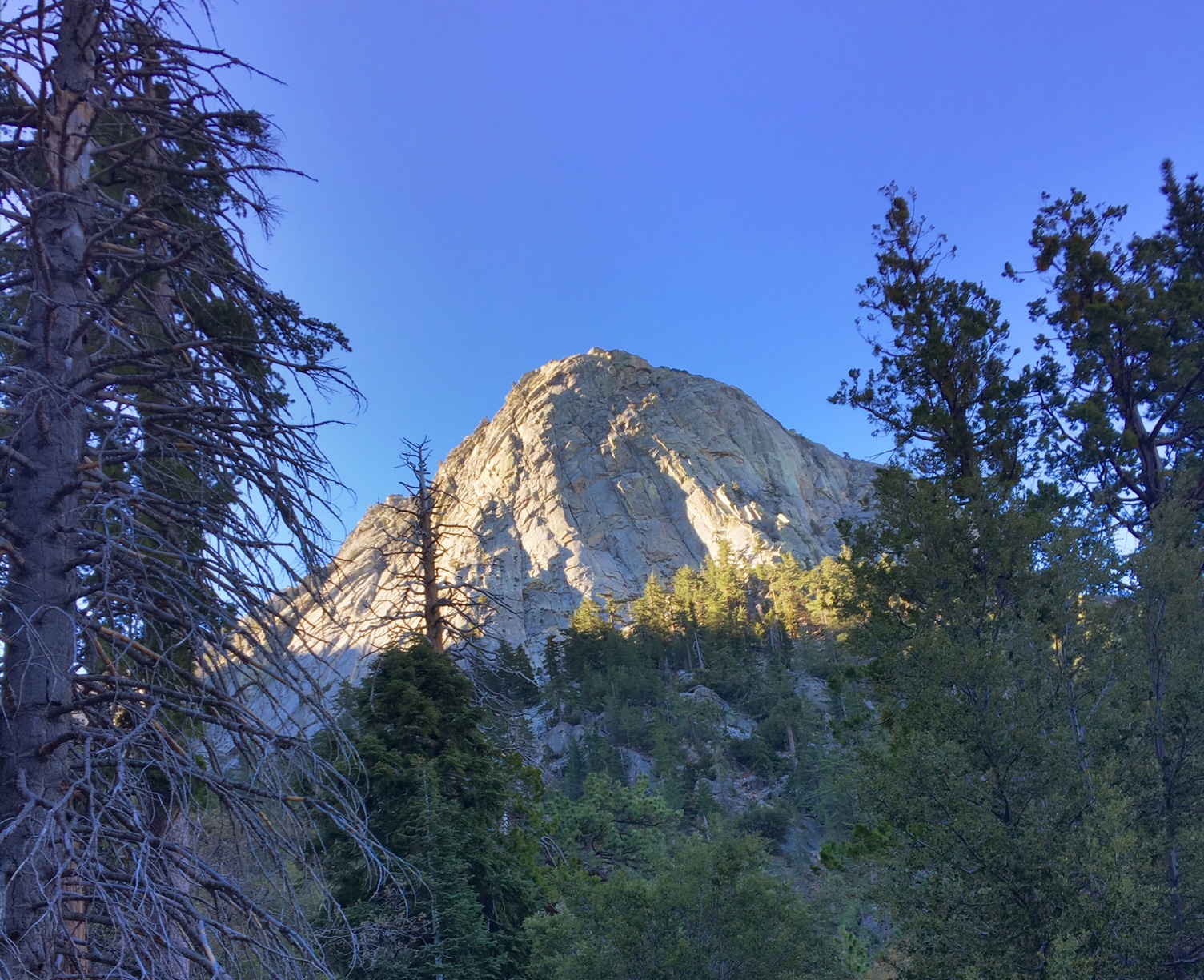
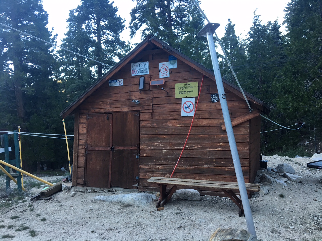
The lift shack (a single rope toe).

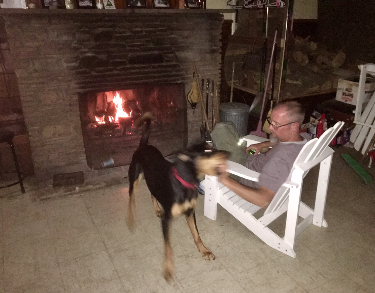
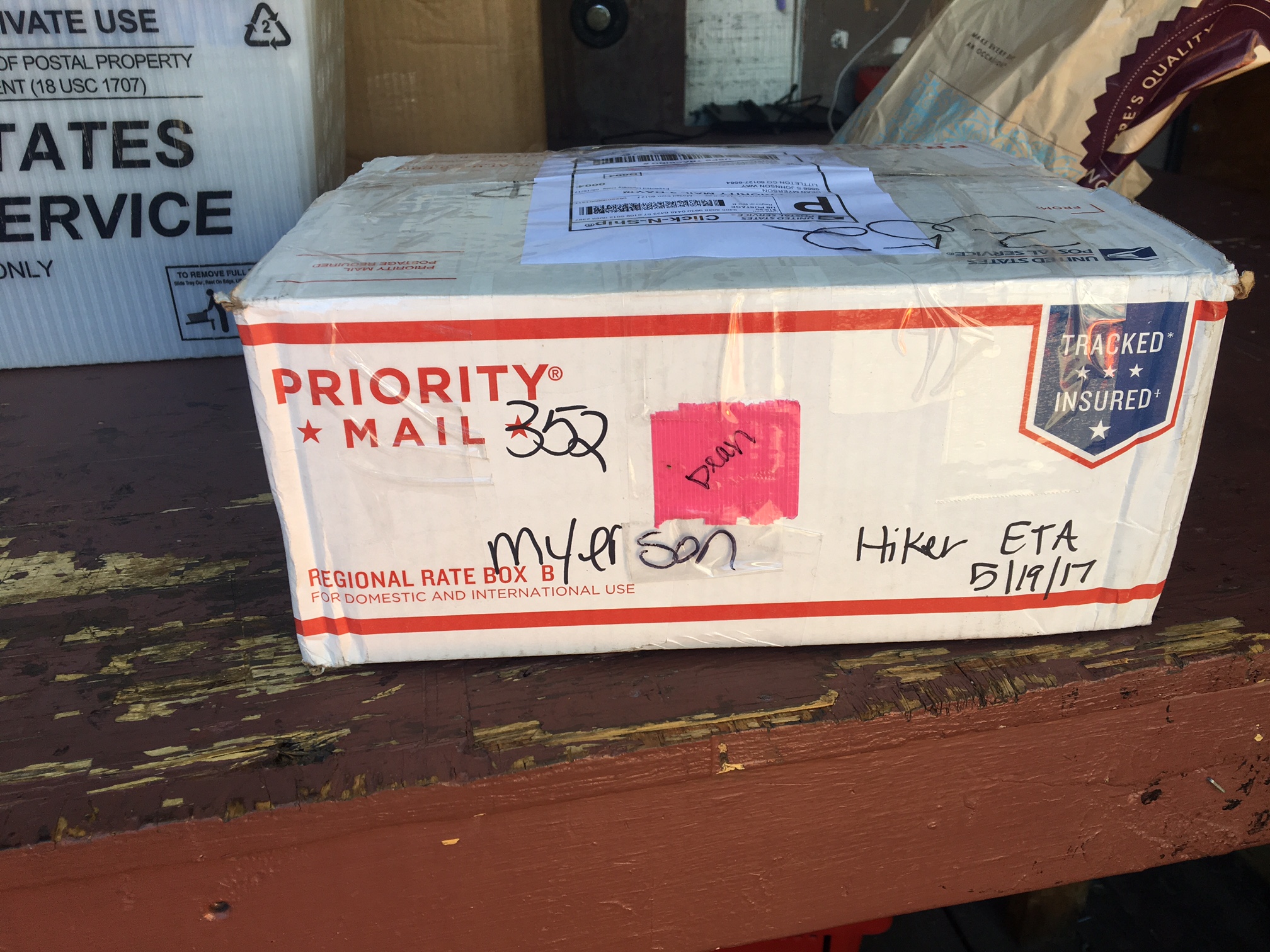
Hanging out by the fire with our hosts Dan and Cooper the big puppy.

Day 16, 5/19, Wrightwood, M-369, 23mi

A beautiful sunrise in Swarthout Canyon.

The trail climbed pretty much continuously all morning, gaining over 5000′

Pretty soon we were looking at snow covered peaks and even hiking through a couple small patches.

This is Bronco and Locomotive. They are from Boulder and left the day after me.

They hike so fast they are a blur!

Mount Baldy.

We finished the day at a ski area. I don’t think they are giving the PCT the respect it deserves… surely it can’t be the “Easiest” way down.

Crammed in the back of a truck while hitching into Wrightwood, CA.

Carefully extricating from the truck.

Thanks to Katy and Todd for getting my package to me on time 🙂

Home for the night at the “Bear with Us” Cabin.

Wrightwood is very friendly to hikers and everything is just a short walk in town.

Day 15, 5/18, Swarthout Canyon, M-347, 24mi

Today was not quite wilderness but not quite civilization. Most of the morning was spent hiking up and around Silverwood Lake (a reservoir) .The afternoon was spent staying cool and gorging at the I-15, Cajon Pass McDonald’s.

Sun rising over Silverwood Lake.

A little higher…

Simple pleasures are something to look forward to: bathrooms, running water and garbage cans (little Building on right).

Steep sandy cliffs dropping 1000+ feet with the Cajon Pass interchange in the distance.

The official PCT sign. Hikers have been chattering about this stop for days. The truth is, it’s almost a mandatory stop as the next water is the Guffy Campground 22 miles away and the previous water was close to 10 making it 30+ miles between on trail water if McDs is skipped.

There it is, the promise land!

Half the tables in the place looked like this…

I love how the kiosks display the calories you are ordering and remind you that a normal diet consists of 2000/day. I think by the time all the damage was done I put away 3000+ cals
Probably about 500 more than I should have.. I was feeling a bit Carbloated (new word mash-up)

A tremendous amount of freight traffic comes through Cajon Pass. I assume to and from the port of Los Angeles and then to Asia.
This is how we go under the tracks.

Home for the night…4 tents all lined up in a sandy wash, one of the few flat spots for miles.

Day 14, 5/17, Under the Dam, M-324, 29mi

Today consisted of a fun stop at the Deep creek hot springs and dodging the highly irritating Dog Poodle Bush which tends to overgrow the trail.

The temps were relatively mild but definitely started to feel hot in the areas with little shade in the late afternoon sun.

Sunrise near Holcomb Creek.

The first stop of the morning was a trailhead parking area that had trash cans, bathrooms and picnic tables…so civilized!

Passed the 300 mile mark. Yesterday I passed the 10% complete mark 🙂

This is Deep Creek and the canyon we hiked through for half the day.

A cool looking snake crossing the trail. I’m not sure what kind it is but definitely not poisonous.

Some hikers getting ready to go in the Deep Creek hot spring pool.

A bridge over Deep Creek…

not sure who painted it the rainbow colors?

The view as I ended the day and exited the canyon.

My campsite which is about 100yds from a large earthen dam. If you don’t see anymore posts it could mean something went wrong with the dam!

Day 13, 5/16, Bench Camp, M-295, 29mi

The Hostel in Big Bear was nice enough to offer a 7am shuttle back to the trail. It wasn’t nearly as cold out as the other morning but it was still brisk.

This is the view of Big Bear Lake from the trail. With some 11,000′ peaks on the horizon.

The elevations we are hiking at today (7000-8000′) have incredible trees with pine cones the size of grapefruits. This is a gnarly old cedar.
These are Manzanitas in bloom.

A school group heading the other direction. I haven’t seen many people out here other than thru-hikers.

It was like someone planted a flower garden poking out or the rocks along the side of the trail.

There was a group of other hikers setup where I camped tonight.

The first campfire of the trip and a beautiful sunset.

The rare picture of me 🙂

Time for bed!

Day 12, 5/15, Big Bear Hostel, M-266, 20mi

As long and hard as yesterday was, today was smooth sailing…other than the below freezing temps when I woke up. (My water bottles were frozen and so were my hands!).

The terrain was more rolling with gentle grades, which allowed for making good time. After 20 miles I reached the road crossing to hitch into Big Bear Lake by 1:30pm.

Clouds filling in the valley floor.

An odd site along the trail. Sadly these animals are caged and trained to be used in movies and TV shows. There are no longer wild grizzlies in CA

Another Poor guy all caged up. There were also lions tigers…even a white Bengal tiger.

Everyone’s favorite, Mt. San Gregorio.

Trail Magic! The local Hostel in town keeps this stocked with soda and snacks and a comfortable couch to relax on.

Apparently, they want you to step on the vegetation in California?

The rest of the day was spent in town doing laundry, shower, food, email, etc. With another cold forecasted night I was just to being inside.

Day 11, 5/14, Coon Creek Cabin, M-246, 28mi

Some days are long, some days are hard, and some days are long and hard. Today was the latter…28mi and 7500′ of climbing. Part of the reason for the longer day was that the end of the day was through a recent fire burn area so there are not too many safe camping areas (dead trees could fall on you), so I pushed to get to a camping area next to a USFS cabin.

Last nights campsite as I departed just after sunrise.

Not sure what kind of flowers these are that I see often. The blooms are large (4-5″ across)…desert Lilly?

Mt. San Jacinto which I summited two days ago.

Prickly Pear cactus blooms.

Mt. San Gregorio in the setting sun…the highest peak in SoCal (11,500′).

An evening rest break.

Camping at Coon Creek Cabin. A chilly evening back up at over 8000′

Day 10, 5/13 Whitewater Preserve, M-219, 26mi

After descending over 4000′ yesterday evening there was still another 5000′ to do this morning before reaching the desert floor.

Up above the desert floor coming down Fuller Ridge.

Another milestone…200 miles.

An oasis…shade under a rock and water. This is the first water on trail in almost 20 miles….and a water fountain no less (compliments of the local water district whose facilities are nearby).

A couple miles after the water fountain Trail Angel Coppertone was set up giving out rootbeer floats.

The not so pretty desert as we approach the I-10 underpass.

Trail magic again!

Soda, water, beer and fruit stashed under the bridge for hikers.

That is the mountain from last nights tent pic.

Trifecta! More trail magic compliments of the wind farm company…
Nothing glamorous, but we were very happy to have shade and water.

It was relatively comfortable in the 70’s today with a nice breeze but it still felt hot in these exposed environments. This stretch would have been brutal if it was in the 90’s as is typical.

Tonight I setup camp at the Whitewater preserve a nature center just off trail and very hiker friendly Flush toilets and running water!

Day 9, 5/12, Fuller Ridge, M-194, 23mi

Today was a big day of climbing. Idyllwild is at ~5500′ and I pretty much climbed all morning to top out on Mt San Jacinto at 10,800′.

Morning light on Tahquitz Peak

View back toward Idyllwild with Tahquitz Peak on right end of ridge.

First snow of the trip ~9000′

North facing slope with lots of snow.

The mountaineers hut just below Mt. San Jacinto

Mt. San Jacinto… the highest Peak in Southern California

Definitely snow on the trail !

First real water crossing.

Camped among the Manzanita on Fuller Ridge. I’m so ready for bed!

Day 8, 5/11, Idyllwild, M-168, 21 mi

Last nights accommodation as I departed at 5:45 this morning…a cute little place just a couple blocks from the middle of town.

Due to a fire from several years ago there is still a trail closure for several miles and the re-route allows us to come back into Idyllwild. I hitched back to the trailhead and hiked the next 15 miles and then had to detour off trail.

Sleepy Idyllwild at 6:00am.

A blue sky day with some purple desert wild flowers.

These little flowers were everywhere today.

Views toward Palm Springs below.

If you look at the selfie closely, by my right ear (left side) you will see the corner of my sit-pad on top of my pack. When I stopped at lunch…no sit pad! This pic helped me narrow down where it got lost. I left a note on piece of paper on the trail for others to keep an eye out and text me if they found it. It’s been Found and I’ve been texted! Hoping to reunite tomorrow 🙂

Longhorns enjoying the view.

Idyllwild locals are always happy to give hikers a ride into town!

The State Park campground in town has $3 campsites for hikers and $1 showers. Here are three of the 15+ tents in the hiker area.