Temporary Off-Trail Hiatus…let the snow melt !

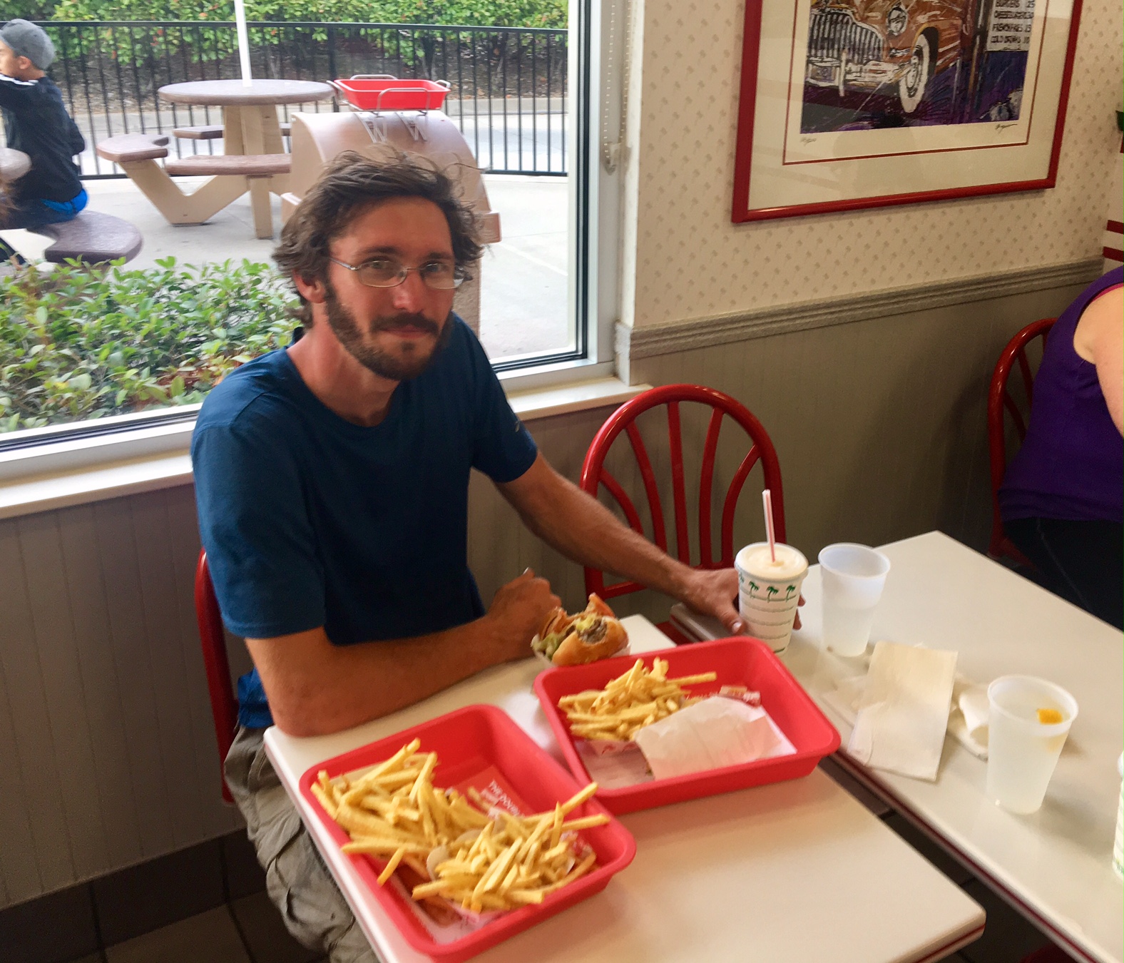
I realized I hadn’t posted in almost a week….surprisingly, not too many folks concerned about this or my whereabouts 😉

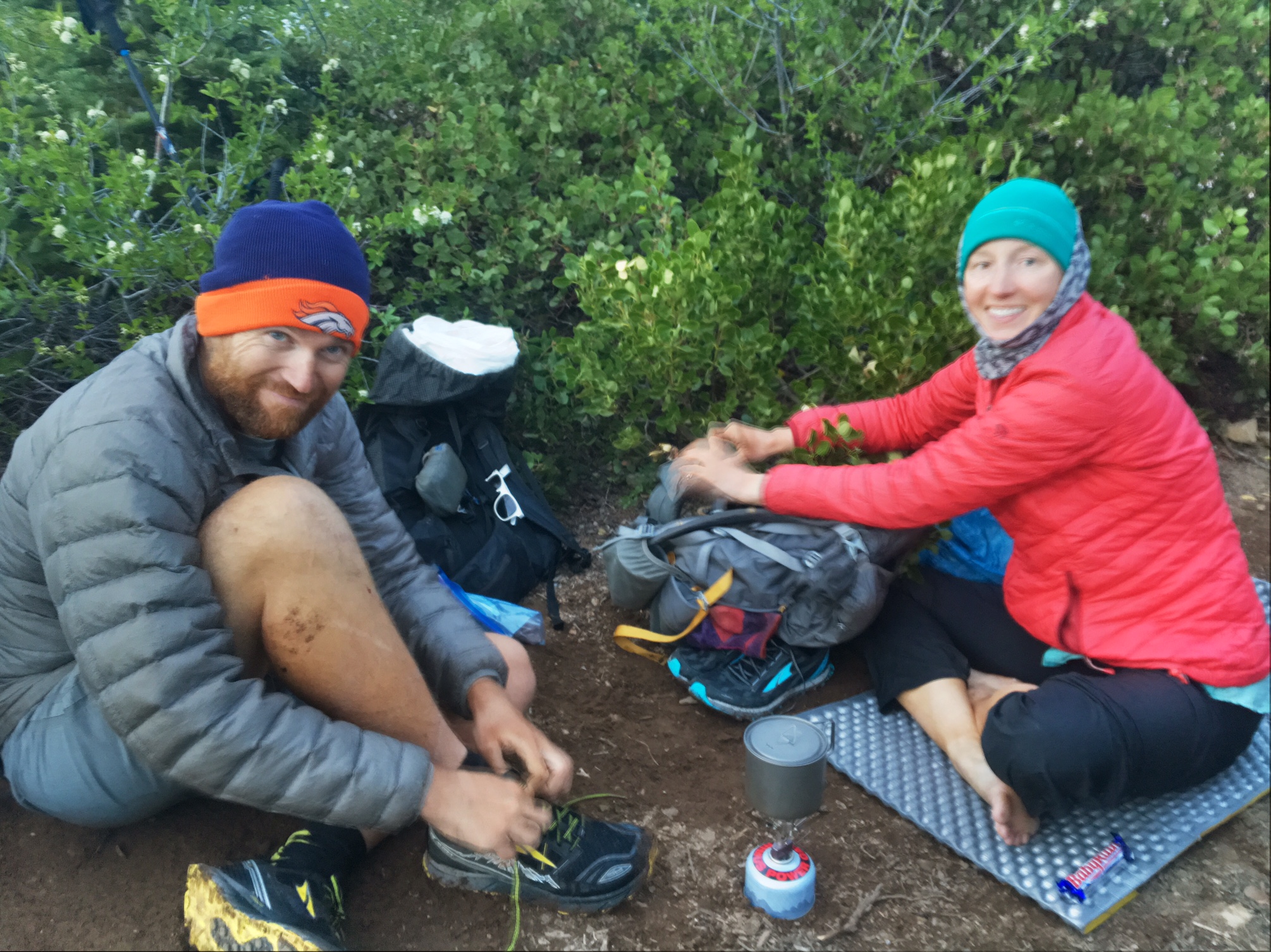
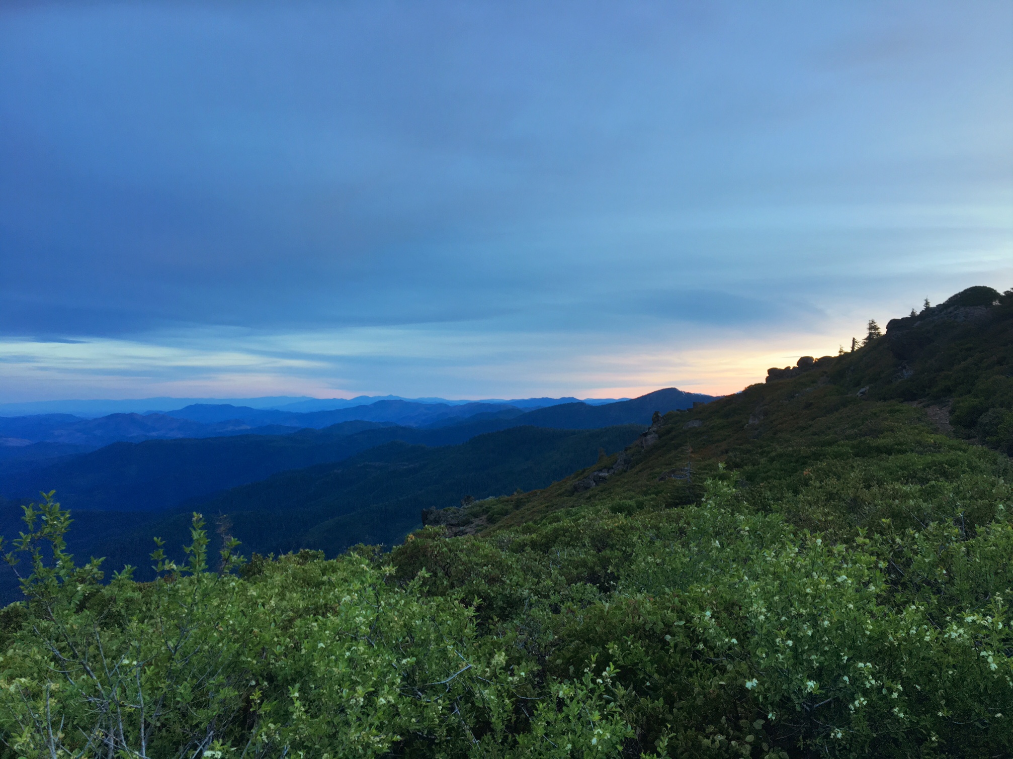
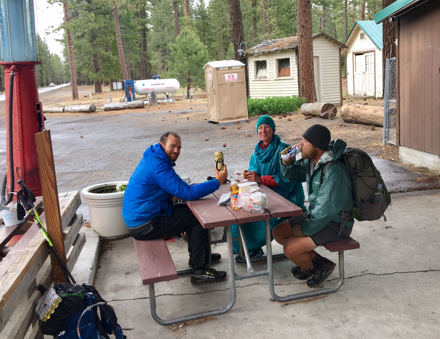
Guess where this is?
(answer below)

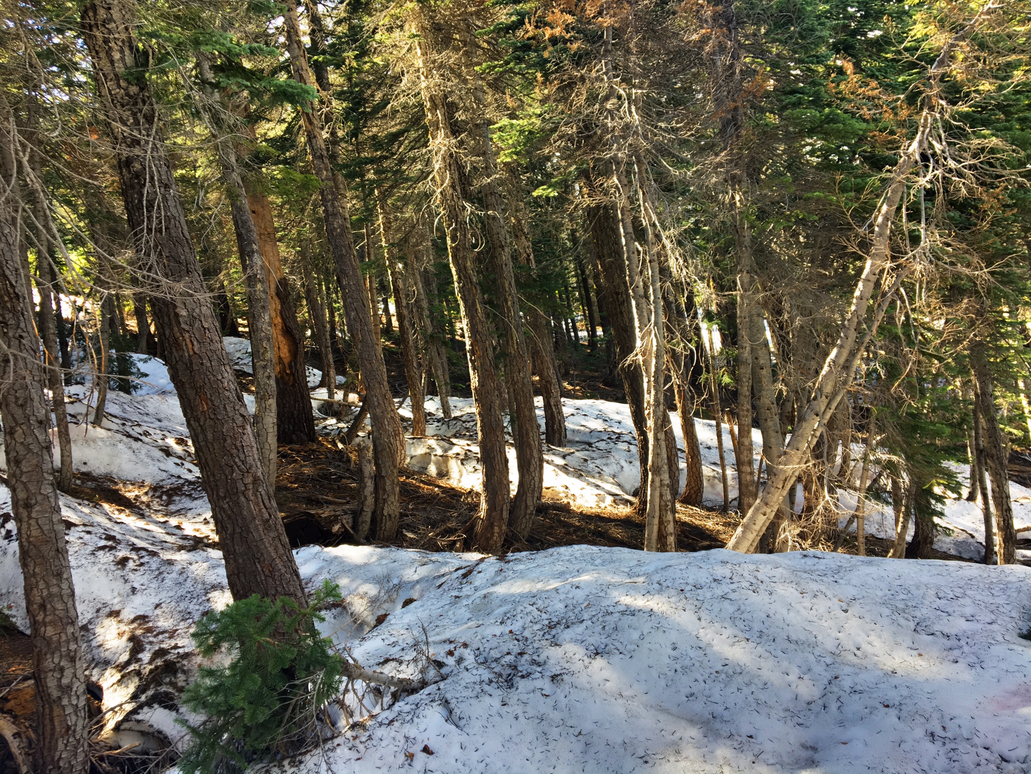
The evening before hiking into Castella I started thinking about the likelihood of 100+ miles of snow on the next section to Etna. After that there is a bit of dry trail and then we hit the Crater Lake area which is buried in snow. I did some quick math in my head I realized I could take a couple weeks off trail and let things melt and probably catch up to where I would be if I continued to slog through the snow. Luckily, I had some phone service while hiking into town and started to check out transportation options.

After a couple hours of deliberating my options (both hiking-wise and transportation home) I made the tough decision to take 3 weeks off trail and fly back to Colorado. The final decision was definitely influenced by the fact I found a flight out of Redding, CA (a quick 40 mile hitch down the highway) that departed at 5:45am and had me back to CO by noon, and all this could be had for 12,000 frequent flyer points and $75. Not bad for booking 12 hours before departure. It also worked out that my vacation rental in Frisco, CO is vacant for two of the weeks so I can relax in the mountains while trying to maintain some level of my thru-hiker fitness.

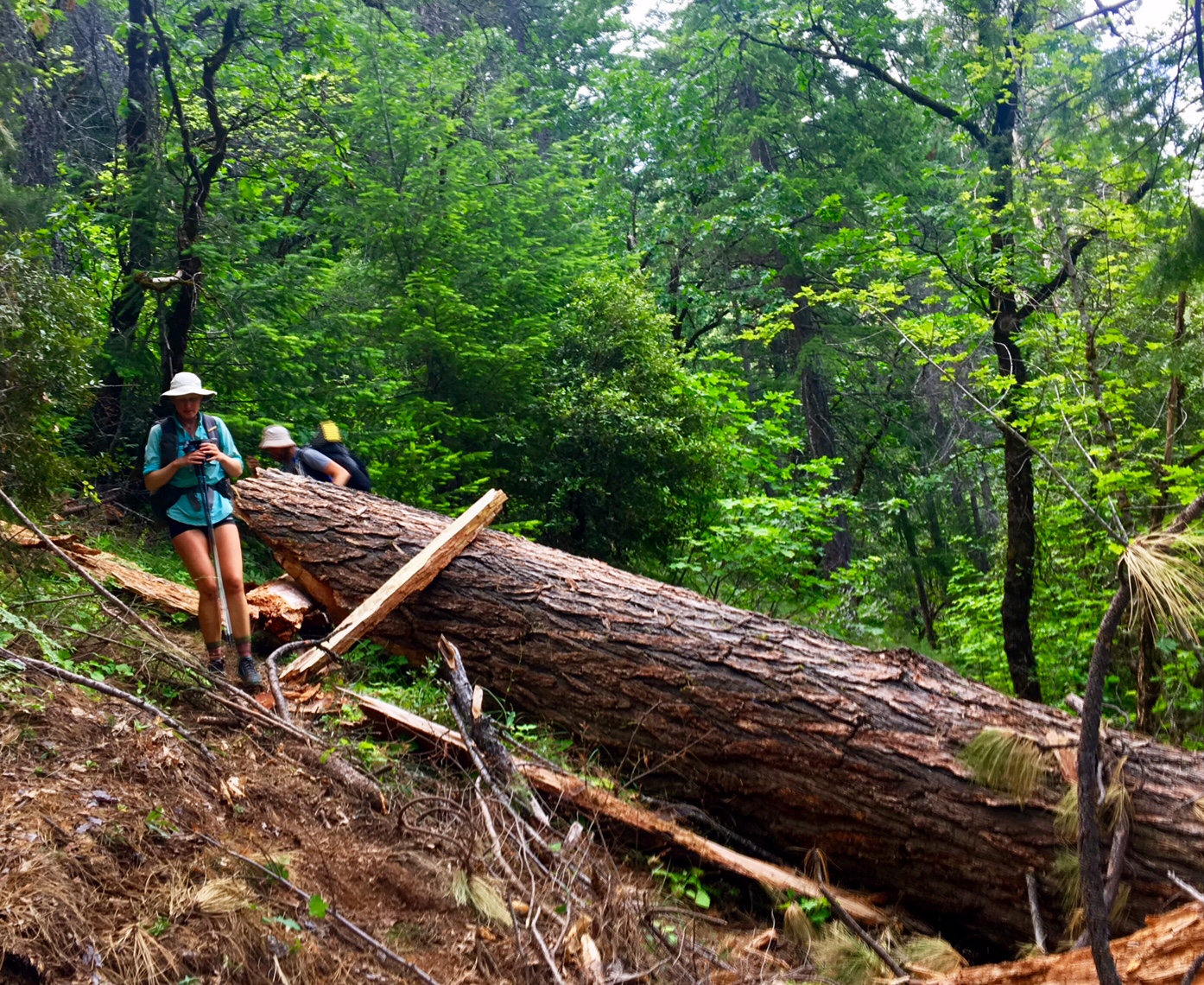
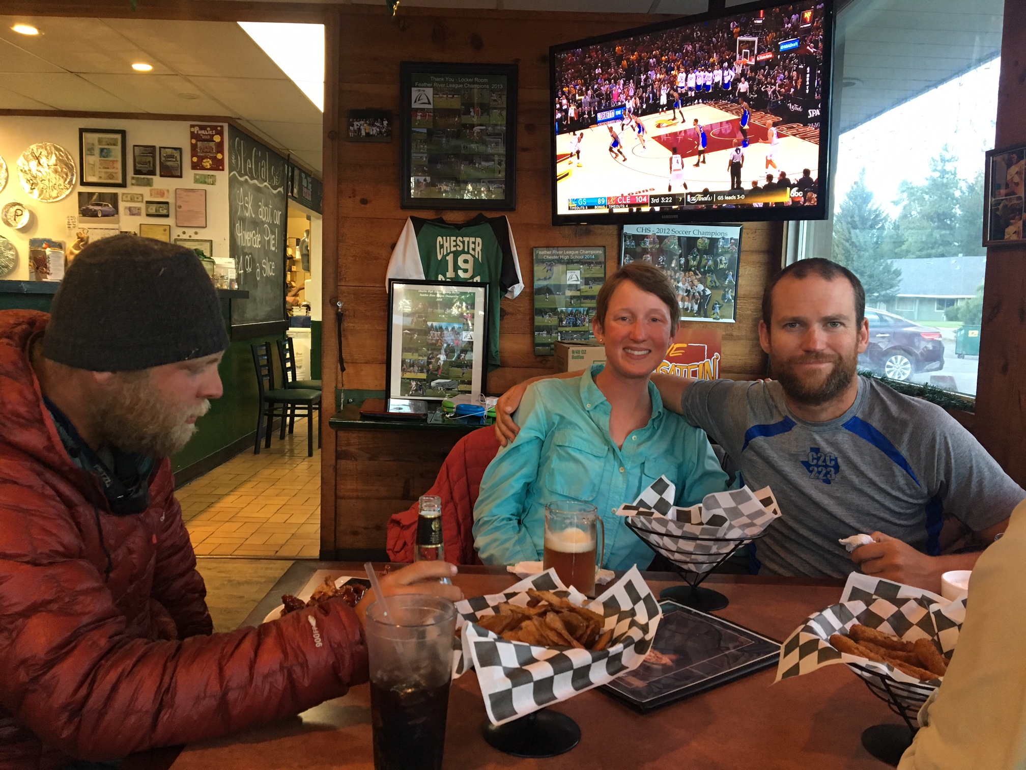
Loco-Bronco were a bit jealous of my schedule flexibility… they have a hard deadline and need to finish by (~Aug 25) for Loco’s new job. The good news is I got an update from them the other day and they had made it to Etna. It sounds like quite a bit of the trail was south facing so it was drier than expected but there were several sketchy snow sections and about 300 downed trees (think obstacle course). I will be interested to hear their updates when they get through Crater Lake.

The way things line up for me now I will come back to the trail and continue hiking northward to Canada ~July 10 which will hopefully get me to Canada the end of August. Then I will get back to Chester, CA (where we jumped to when we aborted the Sierras) and hike Southbound through the Sierras finishing right around the Fall Equinox (~Sept 20). I’m excited to hike the Sierras that time of year as the Aspens change and the bite of fall will surely start to make an appearance.

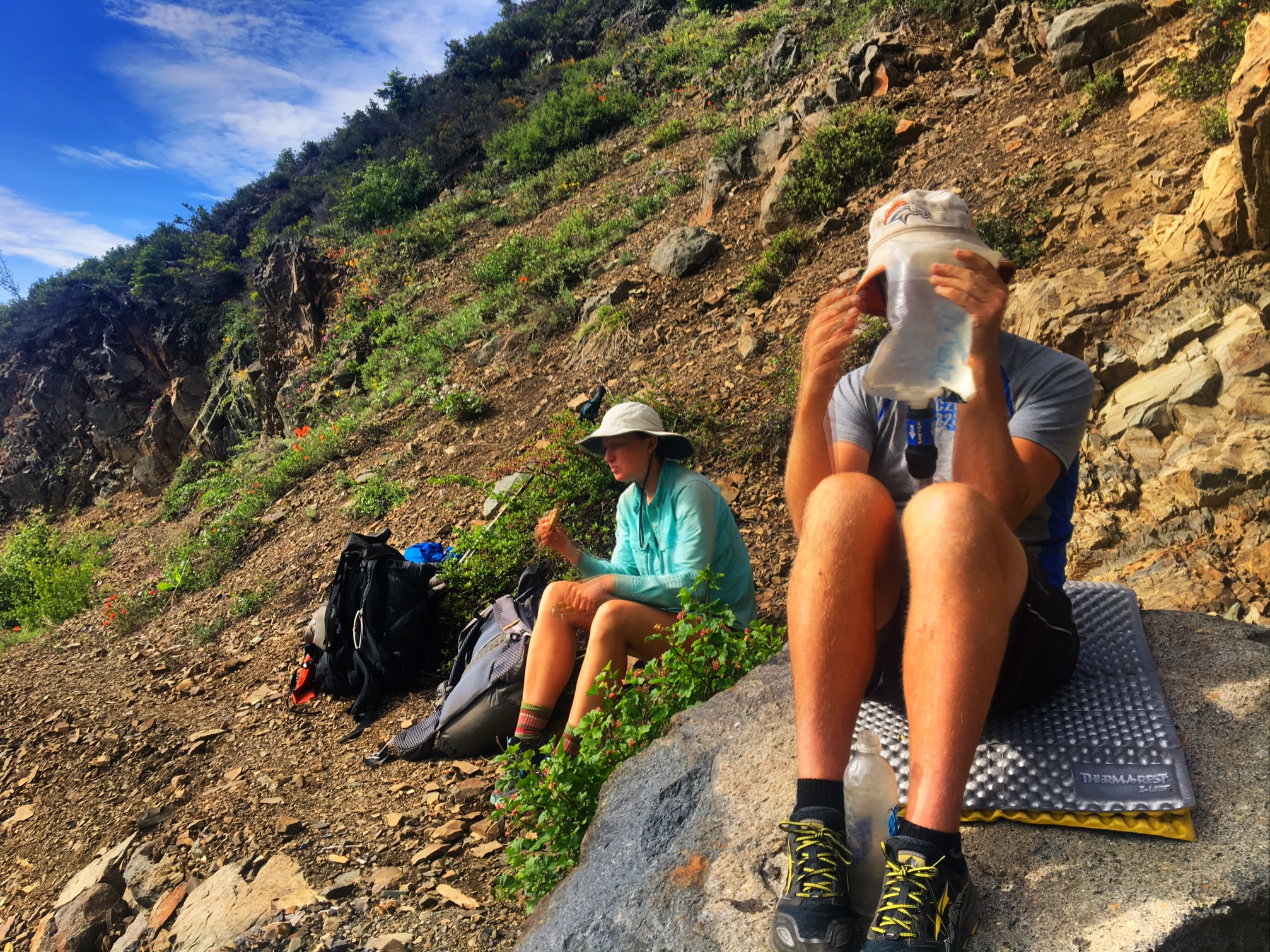
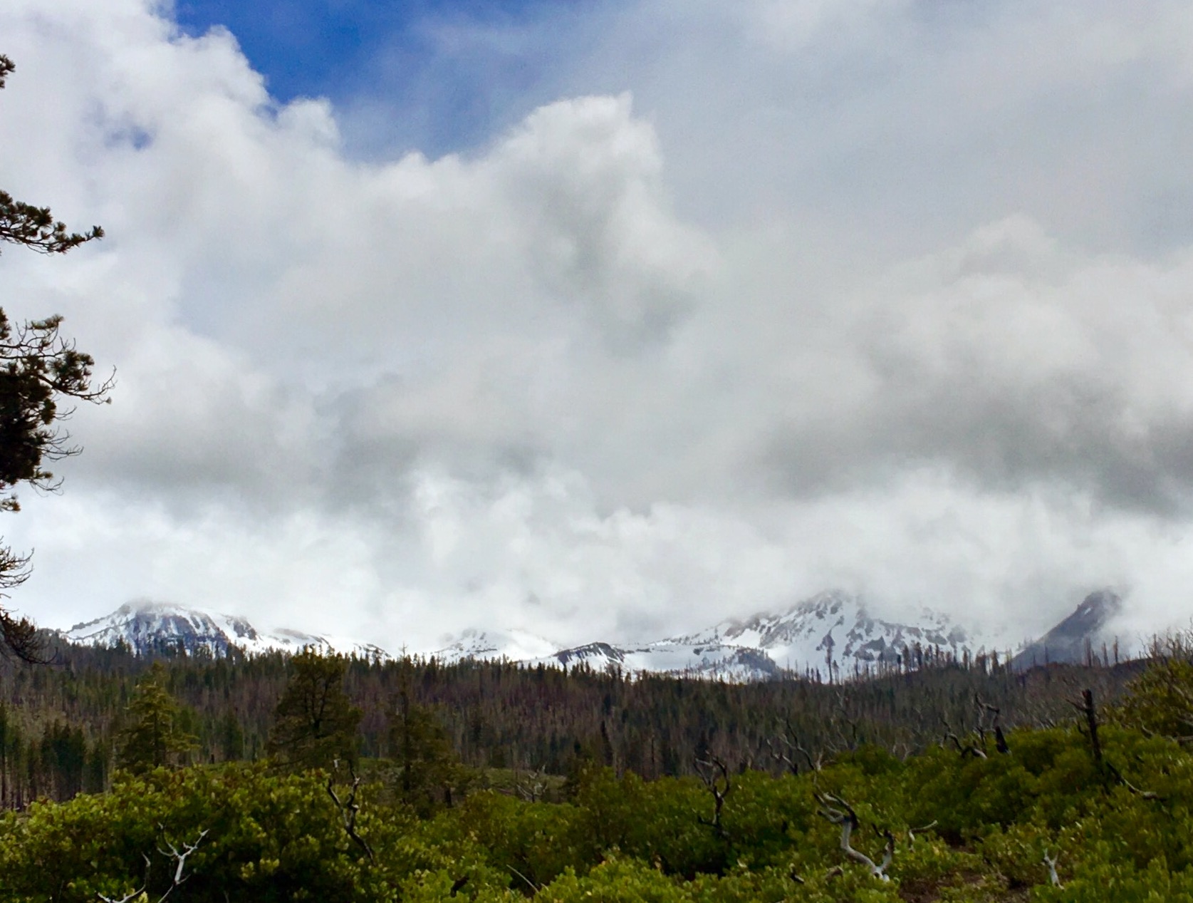
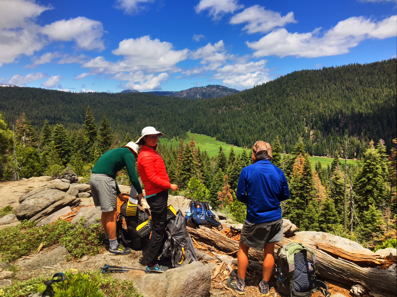
Here is pic from a day hike I did today outside Frisco, CO

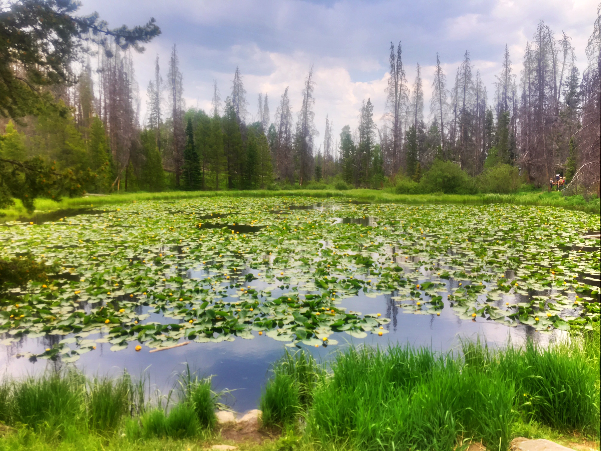
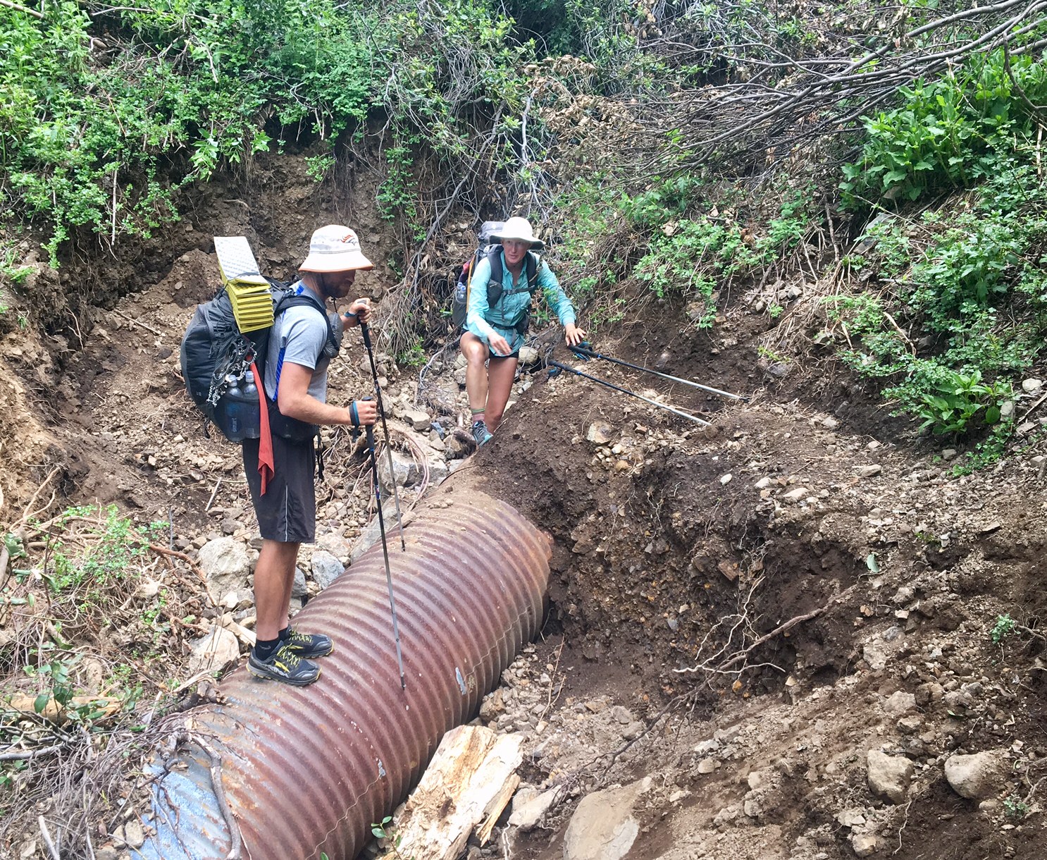
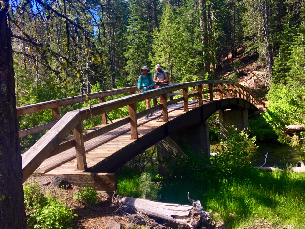
The whitewater creek in the first pic is Meadow Creek on the way to Lilly Pad lake (above). Notice how it has a bridge!…so civilized!

Day 44, 6/16, Castella, M-1499, 22mi

It was a slightly earlier start, leaving at 5:30am… excited to get to town I guess? It was easier packing because it was a relatively mild morning.

We had more incredible views of Mt Shasta.

There’s still a debate as to which Loco-Bronco mashup is better: LoBro or BroLo.
Sadly, our plans moving forward are slightly different so we will be parting ways after almost 700 miles hiking in the same vicinity and sharing many campsites.

This is Evan, he was kind enough to pick me up hitching into town…so the In-N-Out Burger was on me!

Sunset over Lassen Peak on the horizon.

Day 43, 6/15, Trough Creek, M1479, 30mi

A great sunrise for our 5:45am departure.

This is Bronco filtering water at a trailside creek.

Yesterday, while bush whacking through some Manzanita, I sliced the rubber in half that holds my microspikes on my shoes. I used a zip tie as a field fix. The manufacturer, Kahtoola, is nice enough to send me a new pair I will Pick up down the trail.

A section of trail got washed out…luckily, the PCTA trail crew was on the scene.

We walked through forests of giant teees which are really hard to get pics of…this downed one gives some perspective.

These huge logs can be difficult to navigate. You can just barely see Bronco on the other side.

Day 42, 6/14, Saddle Camp, M-1449, 23mi

It was a rather uninspiring morning as we hiked through privately owned logging land…most of it clear cut 😦

A a clearing by for some power lines provided a great view of Mt Shasta at least.

Then another view…

Just as I thought we were cruising into a stress free 27mile day the snow returned (snow line is ~5500′ here). Slipping, slidin, navigating, and progress slowed to a crawl.

The last 4mi through this took 3hrs.

One more Mt Shasta view.

There was one dry patch of land and I called it a day at 7:15pm. 5 of us were all camped on top of each other because it’s so difficult to find a place to pitch a tent. . You can see the snow in the background which was drifted about 8-12 feet high in places.
LoBro made it to camp about 8:30 and were happy to see this great (flat and dry) little camp spot. I think we are all starting to suffer PTSD (post traumatic snow disorder) every time we hit the snow.

The remnants of a sunset.

Day 41, 6/13, Screwdriver Crk, M-1426, 30mi

Today was a great day: the skies were blue, temps were perfect, trail was fast and scenic, plus there were some good stops along the way.

Baum Lake at mid morning.

We had a nice break at the Burney Mtn. Guest Ranch for breakfast. Here is Loco buying some resupply provisions from the small, but very well stocked micro-store.

A couple miles later we had an impromptu stop at some trail magic

These are the trail angels that keep the sodas and snacks stocked.

Now that we are in the Southern Cascades there is a lot of lava rock everywhere.

Our midday stop was at Burney Falls State Park.
(130′ high).

We had a pleasant evening hike out of the park.

A stout bridge over the creek…so civilized.

It was a slightly longer day than anticipated as our originally planned campsite was occupied by several other hikers. The crazy thing is we hadn’t seen a single other northbound hiker all day.

Day 40, 6/12, near Burney, M-1397, 27mi

It rained a bit last night and cleared out by morning but it was cool and damp way to get the day started m. We hiked about 4 miles and were able to stop by JJs Diner just of trail for a big breakfast and great place to warm up. We prob spent two hours there! We finally got hiking again around 9:30

Here’s Loco enjoying the cloud obscured view.

Most of the day was on the Hat Creek Rim. This is a long waterless stretch (~30mi) but on a day like today with cool temps and full cloud cover it wasn’t much of a concern.

Crossing a cow pie infested creek/pond (water=no bueno).

More views from the rim.

There is actually one place to get water along this stretch…from a water tank (made famous in the movie/book Wild). There’s is actually a newer tank that holds the water (but not as photogenic).

The clouds would part ways every now and then which made regulating body temp more challenging than normal. Jackets must have come on/off 1/2 a dozen times.

The sunset from my campsite.

Yesterday, I forgot to mention that the bear canister requirement in Lassen is definitely justified. We saw fresh bear tracks in the snow all day and saw a large male just as we were leaving the park…he ran off quickly when we gave a yell.

Day 39, 6/11, Old Station, M-1371, 24mi

It rained and snowed pretty hard last night.
Luckily, the worst of it cleared out by the time we got up.

Shortly after leaving camp we gained some elevation and were hiking through a lot of snow from this past year’s big winter.

We actually had a lot of water crossings but they were all much tamer than the Sierra. We worked pretty hard to find logs since air temps were only in thirties (not good for warming up after wet crossings.

After 6+ hours of stream crossings, snow travel and navigating we had only covered 7.5 miles. Our goal of 24 miles looked to be out of the question and we’d have to push hard just to get in the additional 9 miles to exit the park.

We didn’t stop much today…we would get too cold. All of the sudden we were surprised to see ourselves out of the snow and finally took a lunch break. We had made a very gradual descent which was just enough to get us below snow line.

The rest of the afternoon was a mixture of drizzle, snow, gropple, and occasional sun. The best part was the exposed trail with no snow or navigation required. We were able to cover the last 13 miles in just over 4 hours as make it the full 24!

Our celebration for a long day were some drinks and snacks at an rv park near the trail.

We then utilized the tiny lobby of the closed post office to warm up and dry off (and eat dinner). (You are literally looking at 3/4 of the PO in this pic.)

Day 38, 6/10, Drakesbad Camp, M-1348, 20mi

It was about an 8mi hitch from Chester to the trailhead…a lonely road at 6am on a Saturday. Luckily Gandhi rolled up in his sweet VW bus.

The four of us were riding in style (me, Loco, Bronco and Salty).

Gearing up at the trailhead. A beautiful Northern CA forest with giant trees.

They even have bridges over their creeks!

A great lunch spot on a cooler day with just enough sun to stay warm.

As we entered Lassen Volcanic Park we checked out a smokin’ hot fumarole!

Approaching Drakesbad Ranch in Lassen NP.

Loco and Bronco showing off their stuff.

There were about a half a dozen of us at the Warner Valley campground under the big trees.

Today was a pretty relaxing 20 miles. By the time we started hiking it was 6:45. We took a couple relaxing breaks in the sun and still made it to our destination near the Drakesbad Guest Ranch by 3:00. We would have normally kept going but Lassen NP has a rule requiring backpackers who stay overnight use Bear canisters (which we had already sent ahead). So most PCT hikers get in and out of Lassen in one day (16mi). So we are camped the last place before the boundary.

It’s raining a bit right now while inside my tent. Tomorrow it’s supposed to snow and there is quite a bit still on the ground at elevations over 6500′ which we’ll hit tomorrow. At least there aren’t dangerous stream crossings to contend with 🙂

Day 37, 6/9, Chester- Church, M-1328, 0mi

Today we covered 540 trail miles…via three different shuttles. It was a long day of travel (7am-7pm) but all went very smoothly, and frankly, it was shorter than my typical hiking day.

Here are Bronco and Loco on the shuttle to Reno.

We met another hiker named Salty on the way who was happy to tag along.

While waiting for our 2nd shuttle we had an hour+ to go to the post office so L/B could mail their bear canisters and ice axes ahead.

Chill in’ at the bus station in Reno!

Our last transfer was in Susanville, CA

75 minutes later we were in Chester, CA. A friendly little trail town where the Lutheran church lets hikers camp in their yard.

We walked across the street to a sports bar had some food/drink and watched the NBA Finals.

Tomorrow AM we will have a short 8mi hitch to the trailhead and then hike about 20 miles to Lassen Volcanic Park.

The landscape up here is quite different, so I will be sure to share some of those pics.