Day 22, 8/7, 11mi (M-485): Durango

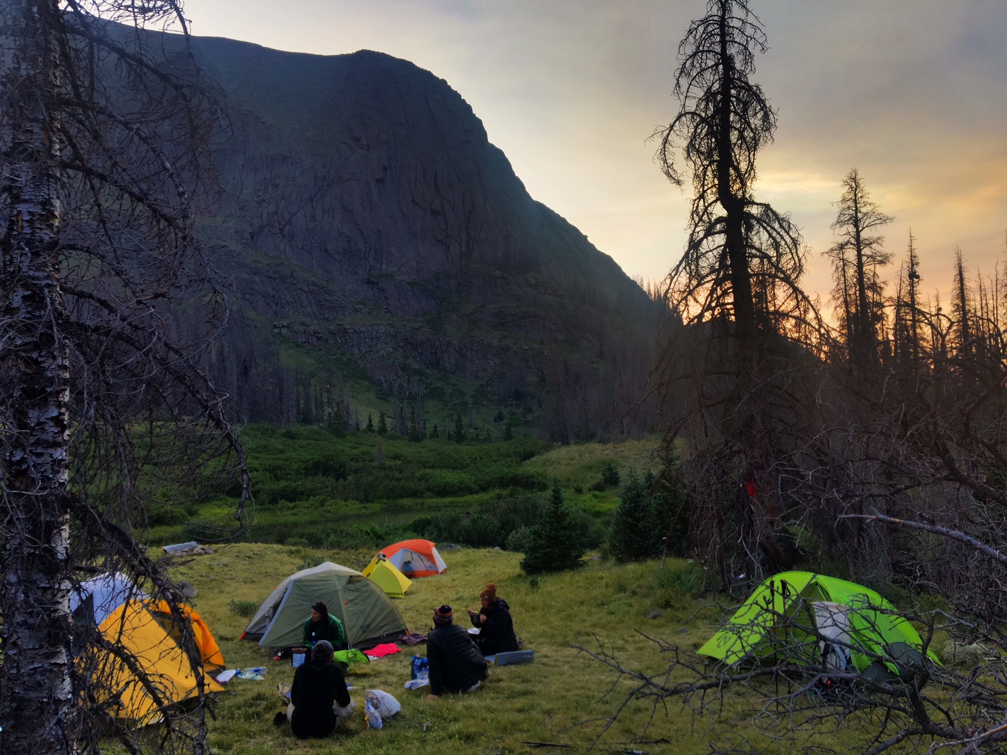
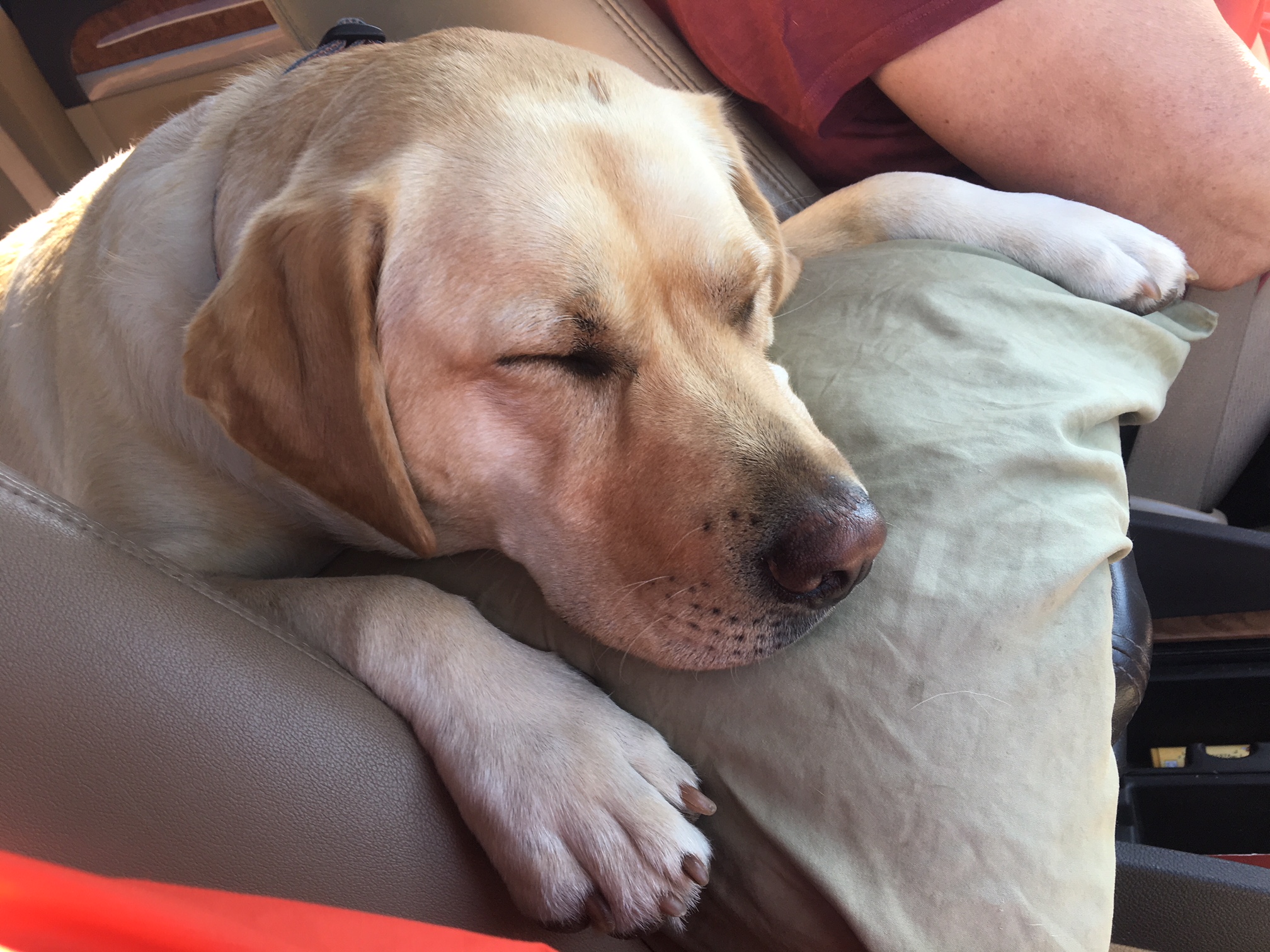
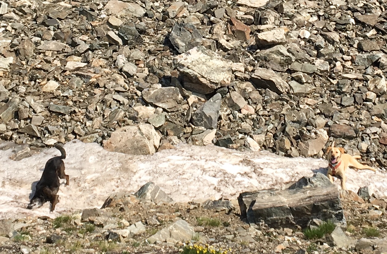
This final day was easy downhill trail to the outskirts of Durango. With the drop in elevation the temps were rising quickly even by mid morning. The last couple miles there were lots of folks on the trail…and even more dogs.

I made it to the terminus just after 10am.
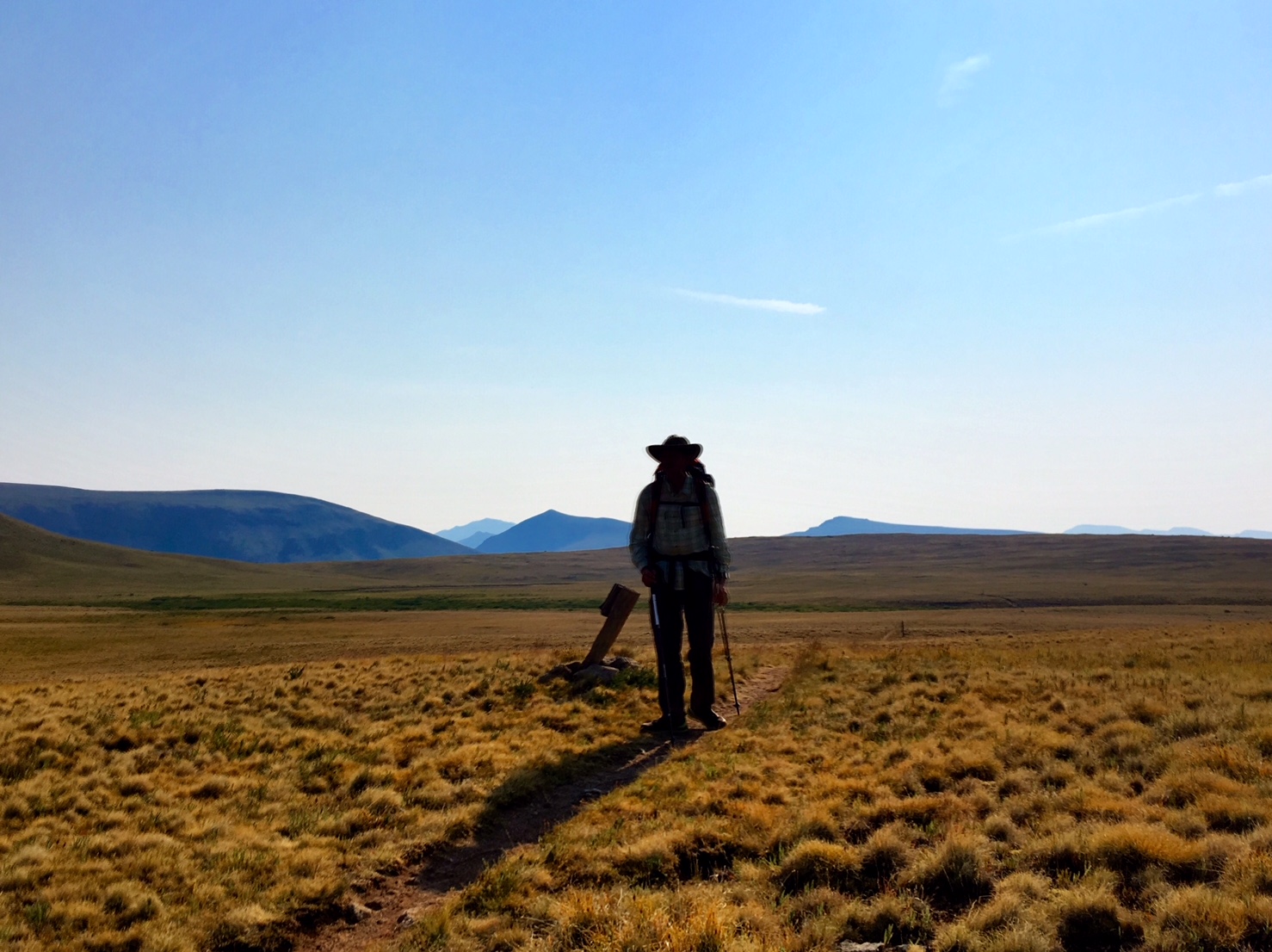
485 miles and three weeks to the day after I left Waterton Canyon, I had arrived!

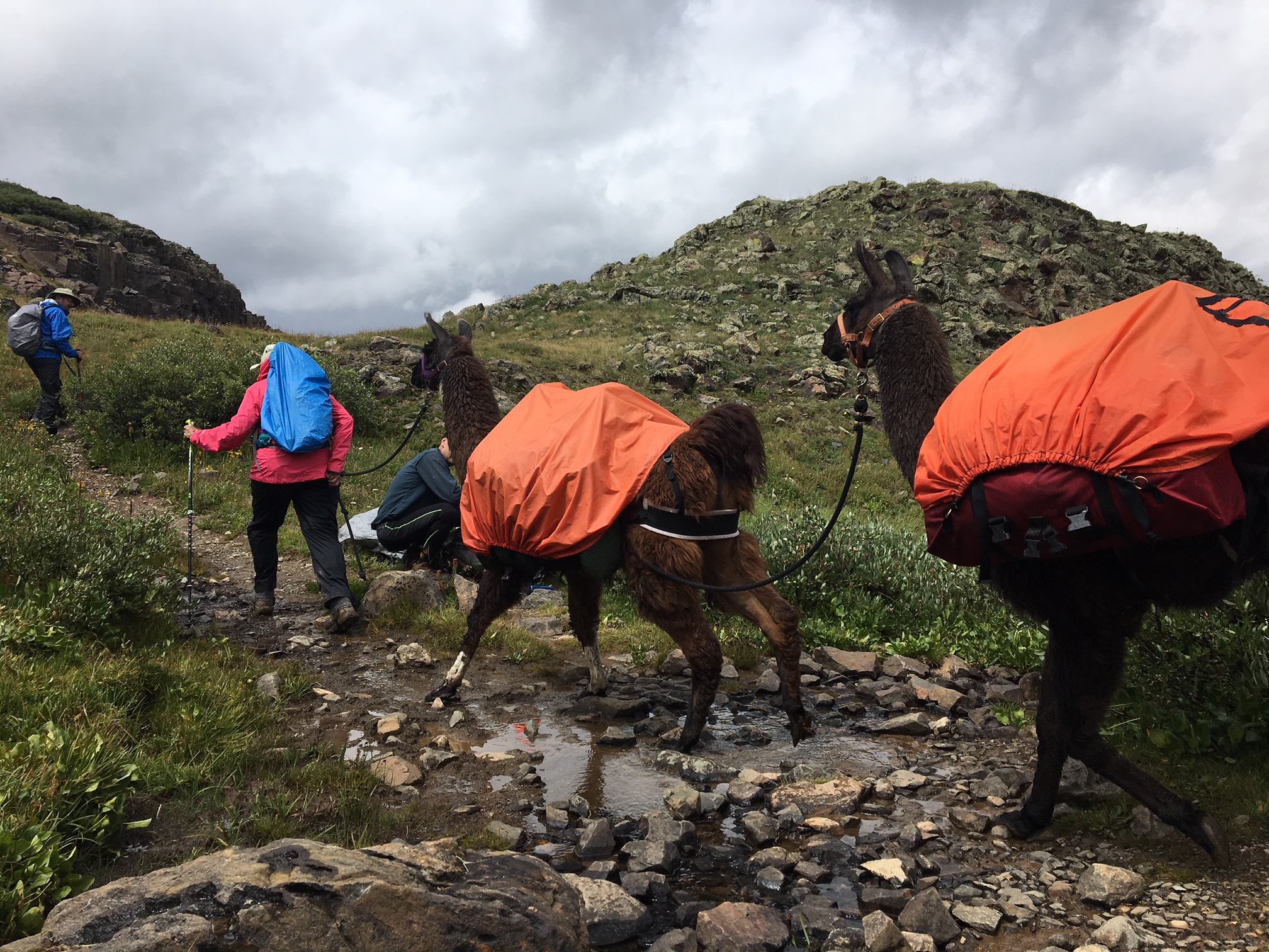
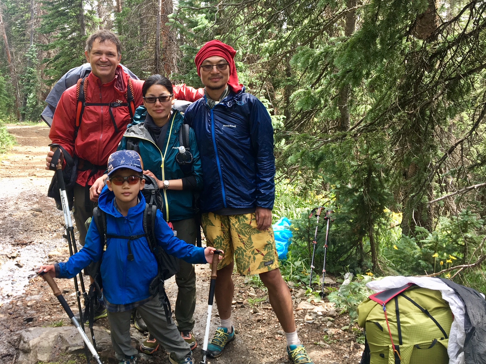
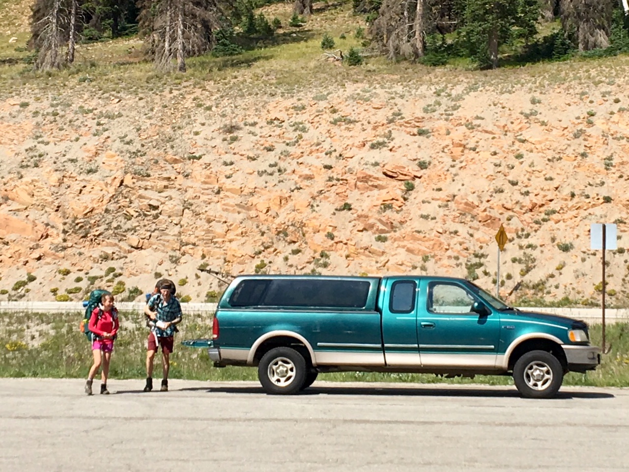
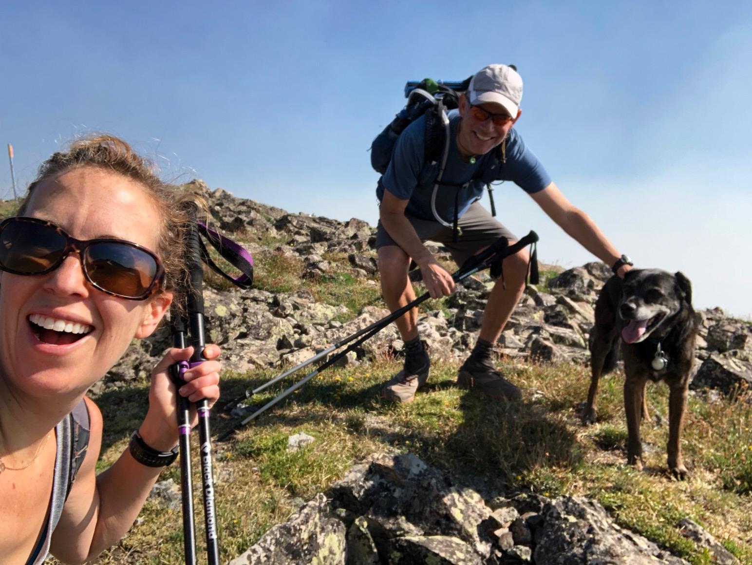
Within a couple minutes after sitting down in the shade I was offered a ride into town…these were my travel companions.

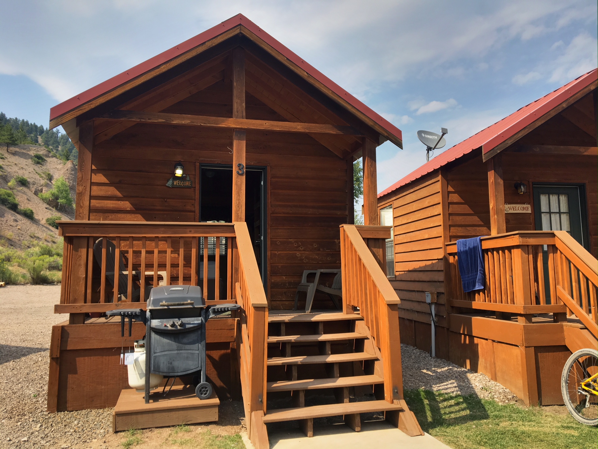
As much as I love sleeping in my tent there’s something to be said for a well deserved rest and a long shower at a comfortable hotel.

Tomorrow I will pick up a rental car for the drive back to Denver.

Day 21, 8/6, 25mi (M-475+2): Big Tree Camp

This is the last full day on the trail…tomorrow will be a quick ~10mi to the trailhead in Durango.

It was a beautiful day with hardly a cloud in the sky.

There were several climbs that got back up over 12,500’ before descending to the first water in 23 miles. It was cool to see the ground cover starting to change to yellow as summer is coming to an end at these elevations.

This is what the final 25 miles look like…almost 8000’ of descent.

My final campsite under a giant pine (with a lot of cow pies).

Two “firsts” on this penultimate day:

1. Saw my first bear of the trip… mostly just his black rump scurrying up the hill when he heard me (so no pics).

2. My first blister…on my big toe. I have no idea why all of the sudden, other than the usual constantly dirty feet. A quick poke with a needle to drain the fluid and all was good 🙂

Day 20, 8/5, 26mi (M-452): Near Salt Crk Jct.

As I left camp I had a good view of one of the waterfalls that gives Cascade Creek its name.

Not sure the name of this peak…

If you zoom in on the right side you can see the very distinctive Lizard Head Peak.

It kind of looks like it’s giving you the Finger…

One last shot of the Lizard Head…

This is my homemade rain-cover…basically a giant shower cap (or condom).
It’s made of polycryo (window wrap), a shock-cord and some gorilla tape…weighs 1oz.

These are the kind of light fluffy clouds I like…much better than the dark angry ones!

Hard to believe I only have one more night!
There’s 33 miles left and could probably finish tomorrow but I figure I’ll stretch it out and have a nice easy morning into Durango on Tuesday.

Day 18, 8/3, 27mi (M-403): Elk Creek Pond

Woke up to a cool, damp, overcast morning. Most of today’s miles were going to be above treeline between 12,200 and 12,900’.

There was a giant bull moose grazing around this pond (his girlfriend is in the willows to the left). I saw a total of 5 moose today !

Not sure the name of this peak, but it seem to be glowing on the horizon.

A big fat yellow marmot.

Most of the day looked like this with occasional mist, spit or light rain. The sun popped out for a brief appearance a couple times as well.

One of the more elaborate cairns marking the trail.

This is how I roll when the rain picks up…luckily it wasn’t windy.

The mighty San Juan’s.

I might need to get some lamas to carry my stuff next time 😉

The trail is just about to turn and drop into the Elk Creek gorge before it joins the Animas River.

Still some wildflowers hanging on.

One last marmot pic.

An impressive bit of trail construction through the gorge.

After several thousand feet of descending there was a perfect campsite next to a pond…there are even three deer feeding on the far side.

Day 16, 8/1, 12mi (M-357): Lake City

Today was a short day to Spring Creek Pass and then a hitch into the town of Lake City.

There was a short steep climb to get the day started then we rolled along Snow Mesa at 12,300’

Snow Mesa is quite impressive.

This would have been a terribly exposed place to be hiking if bad weather was coming through…instead it was bluebird morning.

More incredible views of this giant bench at 12,000’ +

I’m sure these trail markers come in very useful earlier in June or July when the snow is still melting…when the weather turns ugly.

The descent off the mesa was through this giant scree field.

It took about 45 minutes to get a hitch from the top of the pass for the 20 mile drive down the winding mountain road…at least we had some furry company.

Downtown Lake City in all its glory.

Albert and I shared this little cabin just off Main Street at the local RV park. Showers, laundry, wifi, and beds…perfect!

Tons of side by sides parked all over town…mostly from Texas.

Well earned food and drink with Albert and Sylvia (from Italy).

Day 15, 7/31, 23mi (M-347+3): Mineral Creek

This morning was the coldest morning of the trip…probably just below freezing. After a couple miles of hiking we arrived at a trailhead parking area where hikers did their best marmot impressions warming themselves in the sun on the rocks.

The trail continued through open range as we dodged cow pies with each step.

We steadily gained elevation following the Cochetopa Creek up the valley.

Yeh trail crested a saddle around 12,600’ where there was junction to San Luis Peak (14,040’). Albert convinced me to go on the 3 mile round trip detour.

San Luis Peak…we followed the right ridge line to the top.

Just before the summit.

It was a little hazy from wildfires but the views were still fantastic. It took about 1hr to the summit and 40mins to get down.

The rest of the afternoon we were above treeline with several steep short climbs.

We arrived at camp around 6:45 and it was by far the busiest campsite I’ve seen so far (not sure why?).

The last half of the day was a grind with all the steep climbs. All-in we climbed over 6500’ and my legs were feeling it on the final descent into camp.

Day 13, 7/29, 25mi (M-298): near Lujan Trailhead

Woke up this morning to hazy skies with clouds in the valley below.

My rain fly was soaked from the rain last night but dried out after about 5 mins of sun and breeze.

Most of today was uneventful hiking. I Only saw a couple other folks on trail. I was surprised how many wildflowers were out considering I was in the trees much of the day.

Even better !

It was a good day for podcasts and audio books. Water was a bit scarce too (22mi between sources) but the temps were mild and the terrain was moderate so I didn’t need to carry anything too excessive.

Day 12, 7/28, 17mi (M-273): near Windy Peak

It was a relaxing morning at the Hostel…slept til 6:30 🙂 Around 8:45 I met up with my friend Katy’s Mom…Linda Beek who is a devoted follower of this blog. Linda lives in Buena Vista which is about 30mi from Salida and offered to drive down to meet up for breakfast, and was then kind enough to drive me back up to the trail at Monarch Pass. Linda is now officially christened a Trip Angel ! (Plus she brought a bag full of yummy homemade Monster cookies).

He we are with the dogs loading up the car.

Katy and Todd’s very tired dog, Lucy.

There were some storm clouds brewing above Monarch Pass….mostly just some wind and spit above treeline.

This is a family from China with their 7yr old hiking the whole trail. In the back left is Albert from Waco, TX…we picked him up hitchhiking back to the trail on our way out of Salida.

Here’s Albert trying to get cell service in camp.

A beautiful camp spot in the pines with a wildflower front yard.

We decided to setup camp a bit earlier (6pm) since there were not a lot of camping options and I had heard some thunderstorms might roll in around 7pm. Sure enough, at 7:30 clouds darkened and the thunder was rolling. By 8:00 the rain came and I was dry, warm and cozy inside my tent.

Now it’s 8:30 and the weather has moved on but I do not plan on leaving the tent 😉

Day 11, 7/27, 9mi (M-262): Salida, CO

A short day was planned for today so I slept in until 6am 🙂 The temps were surprisingly mild considering I was camped at 11,500’.

I was on trail a little too late to get a prime sunrise pic.

There was one steep climb to get over the divide and drop down to Monarch Pass.

The trail went right through the Monarch Pass Ski Area.

About 10am I arrived at Highway 50 and Monarch Pass.

After picking up a resupply package at the gift shop, as well as a couple snacks, I was offered a ride into Salida by a local trail angel named Chuck. He had just driven up and dropped off several other hikers.

Home for the night was the Salida Hostel and Inn. A perfect place to shower, do laundry, organize gear and relax. Several other hikers were staying here as well.

The sun setting over the Collegiates.

Day 5, 7/21, 15mi, M-119: Copper to Frisco

Looks like this one got lost in cyberspace…

Today was slackpack day (hiking without all my backpack gear). Nora and I drove with her dogs over to Copper and hiked back to Frisco (the opposite direction I had been hiking the trail).

It was a beautiful morning other than the smoke that was blowing into the area.

The crest of the Ten Mile Range. You can see one of the Breckenridge lift terminals on the left.

The dogs found every snow patch and rolled around to cool themselves off.

When not in snow patches mountain creeks did the trick too.

A rare pic of me 🙂

And another…

The burn area from last years Peak 2 fire.

Selfie with Nora and Fred the dog (Charlie the Yellow Lab not present).

Tired pups back at the condo.

Tomorrow I’ll take the free Summit Stage bus back to Copper to pick up the trail where I left off.