This is a link to my most recent Adventure: 2018 Colorado Trail
If you’d like to follow this Blog via your Facebook feed you can like this page: https://Facebook.com/GoBugJuice


This is a link to my most recent Adventure: 2018 Colorado Trail
Everyone Loves Gear!
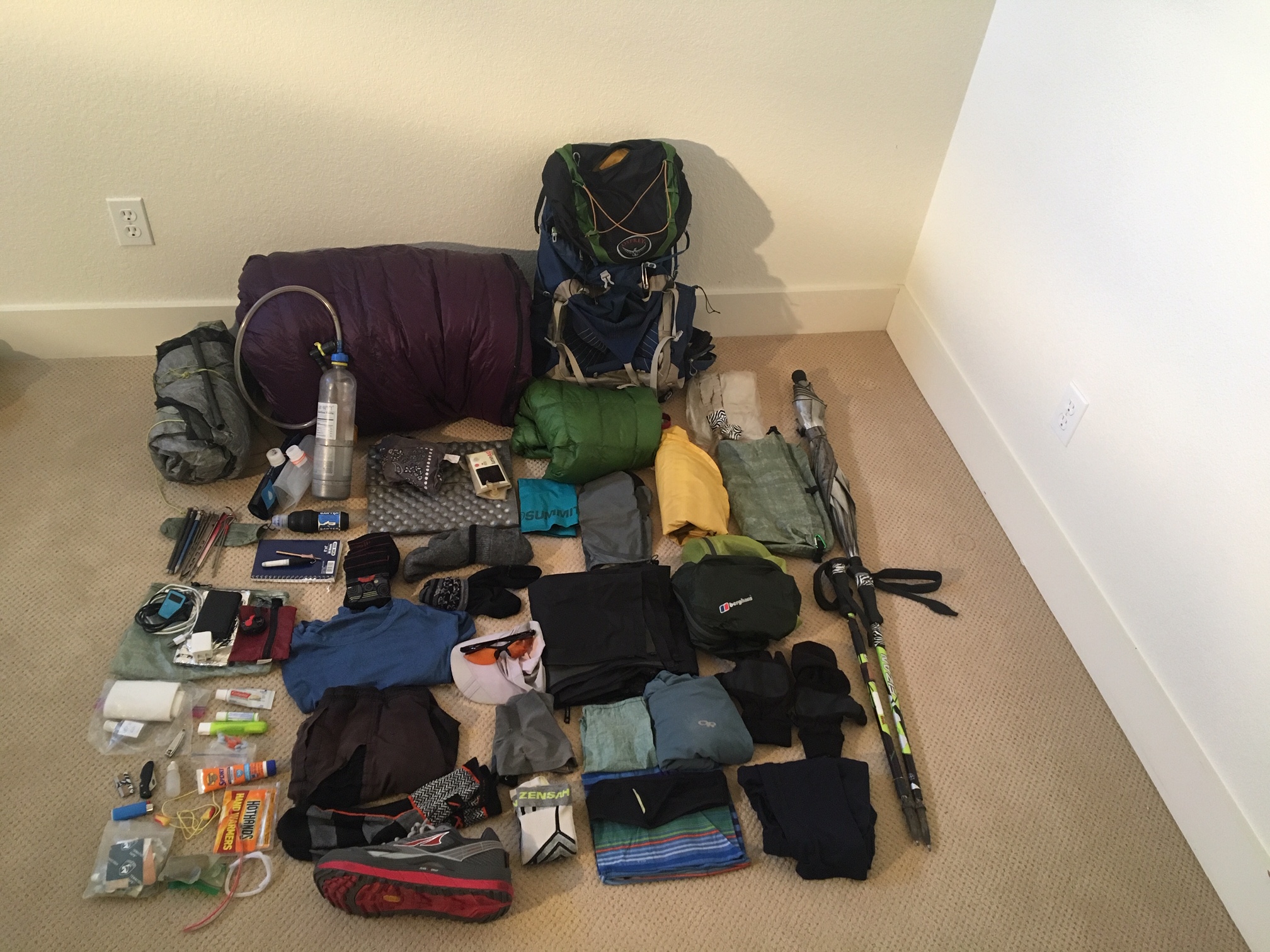
My gear list consist of many of the same items I used on the AT and PCT. The biggest change is I decided to try out a a Nemo Hornet Elite 2p tent. This tent is one of the lightest in the semi-fresstanding category…the bonus being it has two separate side entry doors.
The total baseweight came in around 11lbs. I’ve found that I don’t really notice much of a difference from weight savings once I get much below 12lbs, and I can’t realistically get below 10lbs without sacrificing safety/comfort. Most people (including me) notice these additional weight savings on long food/water carries when total pack weight might be 28lb vs 30lb.
Ultimately, it’s usually a better use of mental energy and finances to save these final pounds by understanding how much food and water is actually needed for any given stretch. For example, reducing your carried water by 1- liter saves ~2lbs. Reducing gear weight from 12 to 10 lbs could cost you $1000. It always kills me seeing someone carry 4 liters of water and $600 ultralight tent…kind of like ordering a Diet Coke with a super-size double Big Mac.
2018 Colorado Trail Gear List…
(still amazed how all this stuff fits in backpack!)
Wearing:
Shoes: Altra Olympus
Gaiters: Altra
Socks: Darn Tough (crew-no cushion)
Compression Calf Sleeves: Zensah
T-shirt: 32 degree cool (Costco)
Shorts: Patagonia Nine
Baseball hat: quick dry amazon
Sunglasses: orange lens
Trek poles: Fizan
Packed Gear:
Bacpack: Osprey Exos 38
Tent: Nemo Hornet 2p Elite
Stakes: 5x V-stakes (12g ea)
Sleep Pad: Neo Air regular
Sit Pad: Cheapo eBay
Sleep Bag: EE Convert (20 degree w/overtstuff, 23oz)
Polycryo Pack liner (homemade w/inflator hardware)
Zpack stuffsack
Umbrella: Chrome Dome (attachment to pack)
Trowel: Deuce of spades
Homemade Polycryo Pack cover
Packed Clothes:
Hiking sleeves: Smart Wool
Leggings: 32degrees (4oz)
Down jacket: Montbell ultralight sweater (5oz)
Long sleeve: Outdoor Research Echo Hoodie (4.5oz)
2nd hike socks: Darn Tough
Sleep socks: Possum down
Rain pants: MontBell Versalite
Rain jacket : Berghaus Hyper 100 (3.5oz)
Glove: convertible fleece mit
Waterproof Mit: Borah
Bandana
Water/repair/Misc:
Filter: Sawyer Squeeze
Water bottles: 1L-Smart Bottle
Bladder: 1.5L Evernew
Homemade Dipping cup nests on smart bottle
200ml protein shake container
Hydration tube w/bottle adapter
Spoon, knife: lexan
Utility Razor blade
Head lamp: Petzel e+lite
Lighter/matches, Fire starter
Repair Tape (Tenacious)
Needle/thread
Hot Hands Handwarmers (1x)
Lithium Batteries for headlamp
Sil Wallet
Sharpie
Pen
Journal
https://atlasguides.com/colorado-trail/
Trails Illustrated Colorado Trail Map
iPhone (camera)
Earbuds
Power Bank: Anker 10,000ma+ cord
Toiletries/Meds:
Refillable Sunscreen container
Nail clippers (Nail File)
Chapstick
Toothbrush/ paste
TP
Ear plugs on cord
Neosporin
Advil / Naproxen/Imodium/Ambien/Allergy meds
Wet wipes
Purel
Bandaids
Duct Tape
This final day was easy downhill trail to the outskirts of Durango. With the drop in elevation the temps were rising quickly even by mid morning. The last couple miles there were lots of folks on the trail…and even more dogs.

I made it to the terminus just after 10am.
485 miles and three weeks to the day after I left Waterton Canyon, I had arrived!

Within a couple minutes after sitting down in the shade I was offered a ride into town…these were my travel companions.

As much as I love sleeping in my tent there’s something to be said for a well deserved rest and a long shower at a comfortable hotel.
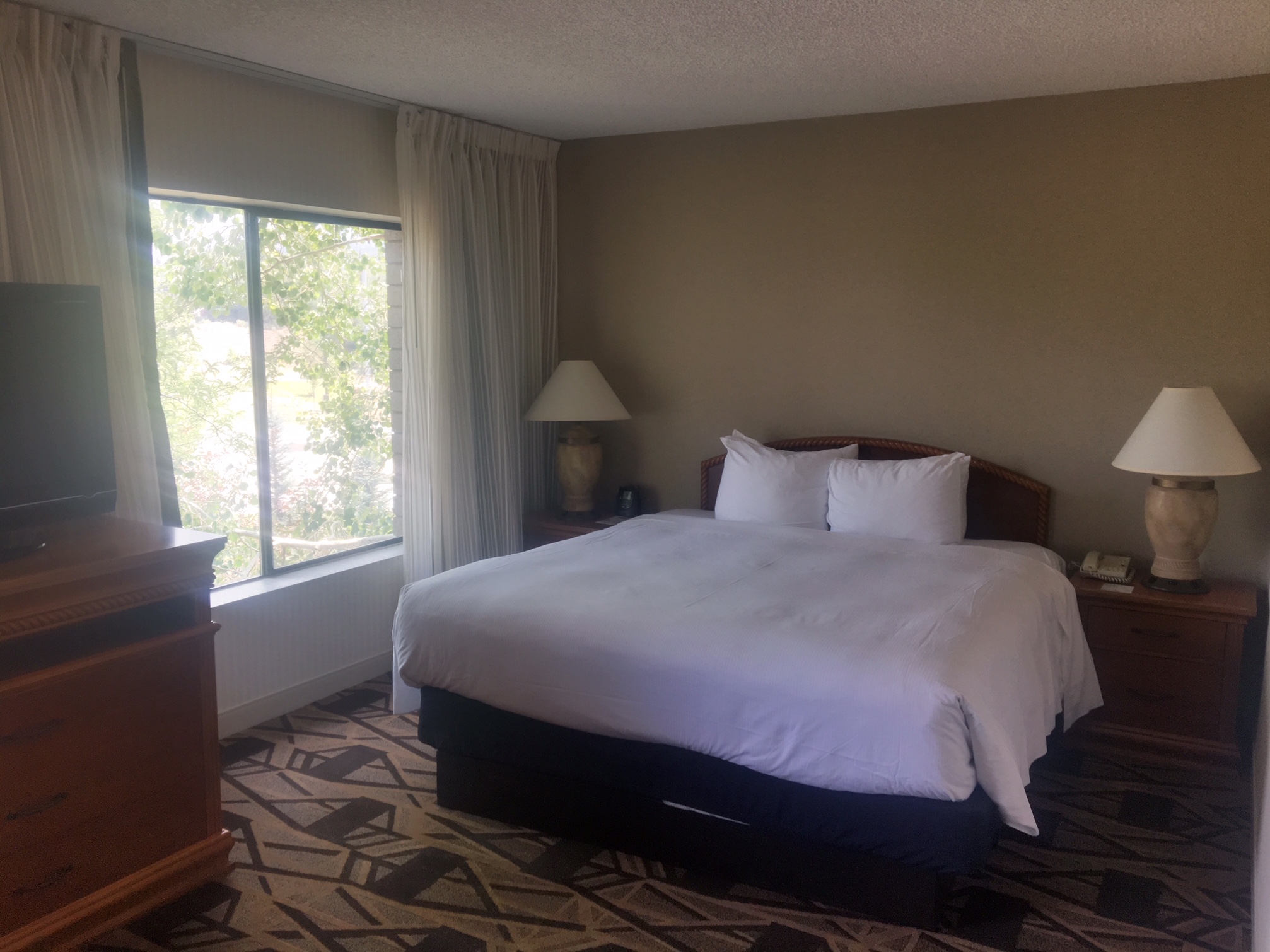
Tomorrow I will pick up a rental car for the drive back to Denver.
This is the last full day on the trail…tomorrow will be a quick ~10mi to the trailhead in Durango.
It was a beautiful day with hardly a cloud in the sky.
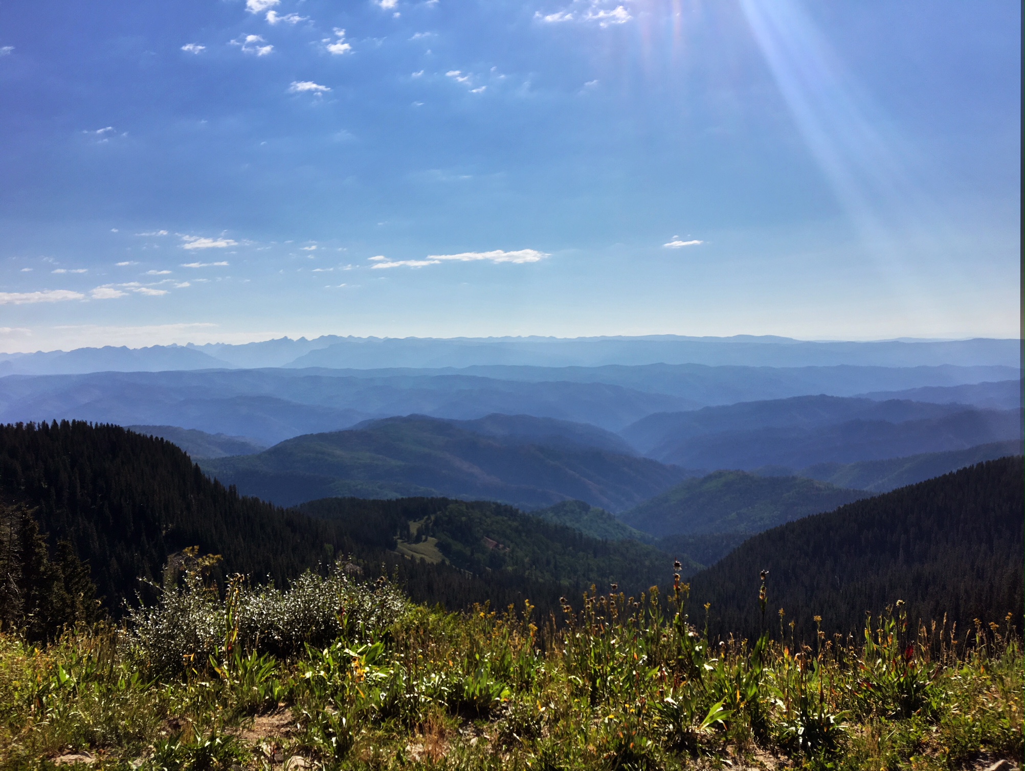
There were several climbs that got back up over 12,500’ before descending to the first water in 23 miles. It was cool to see the ground cover starting to change to yellow as summer is coming to an end at these elevations.
This is what the final 25 miles look like…almost 8000’ of descent.

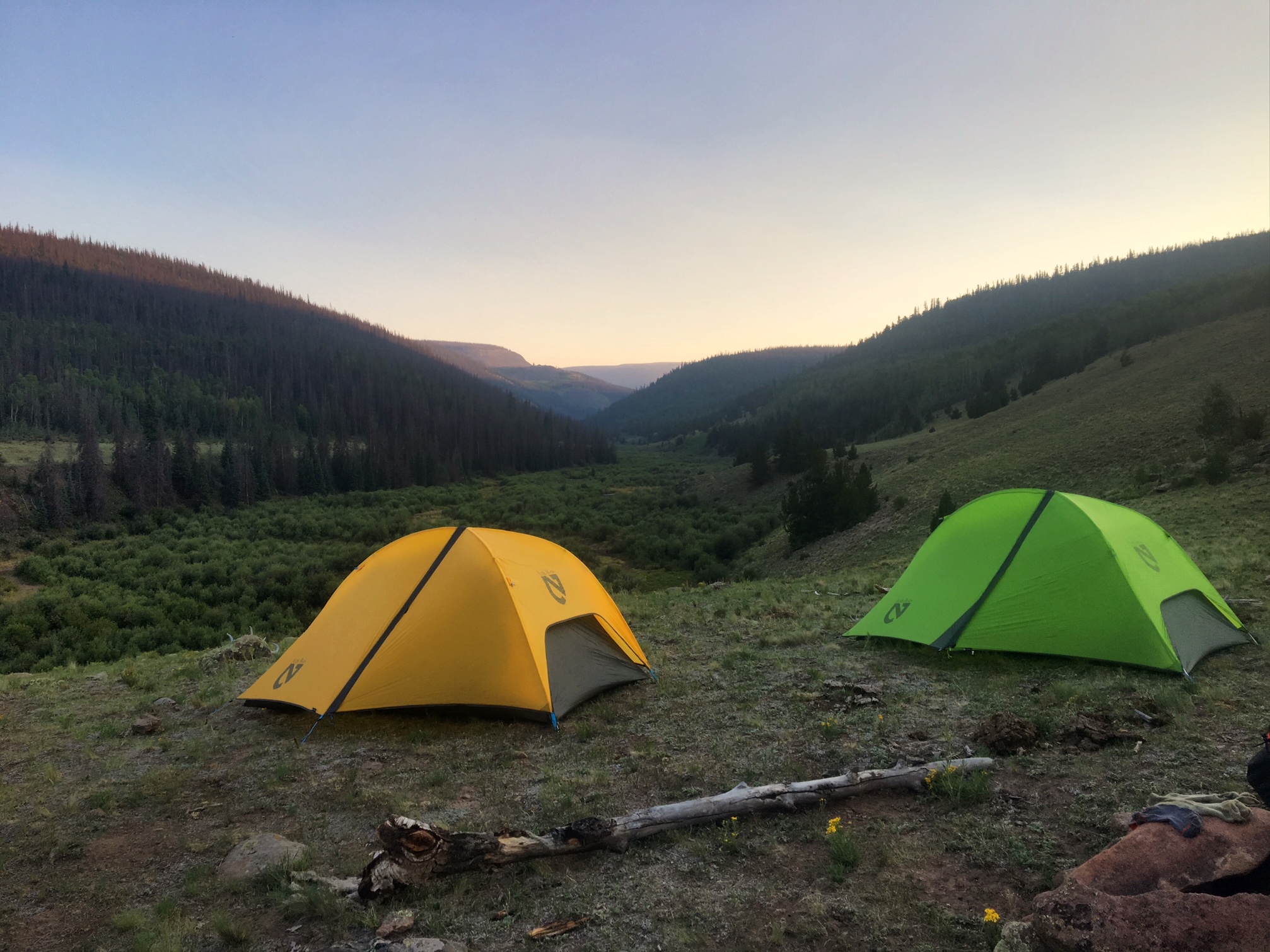
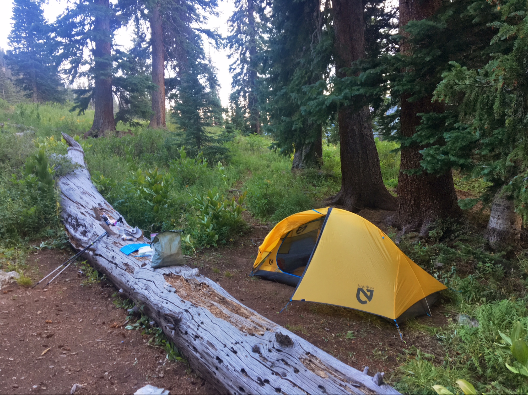
My final campsite under a giant pine (with a lot of cow pies).

Two “firsts” on this penultimate day:
1. Saw my first bear of the trip… mostly just his black rump scurrying up the hill when he heard me (so no pics).
2. My first blister…on my big toe. I have no idea why all of the sudden, other than the usual constantly dirty feet. A quick poke with a needle to drain the fluid and all was good 🙂
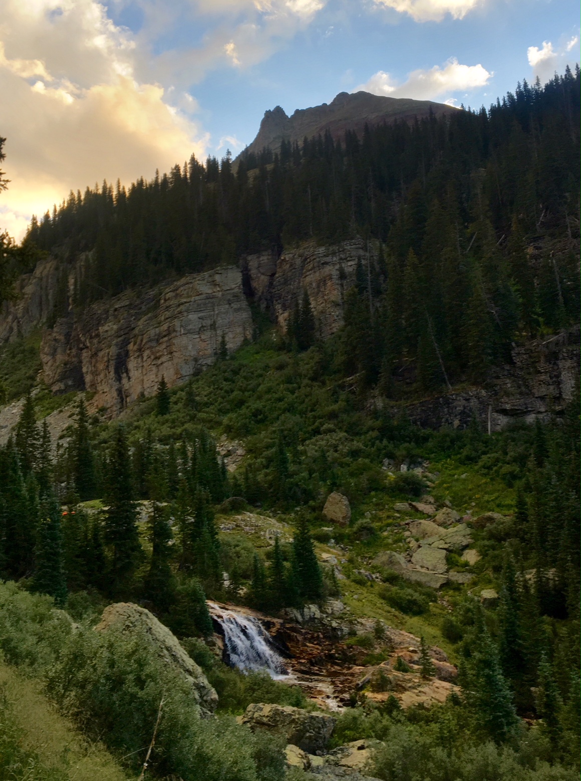
As I left camp I had a good view of one of the waterfalls that gives Cascade Creek its name.
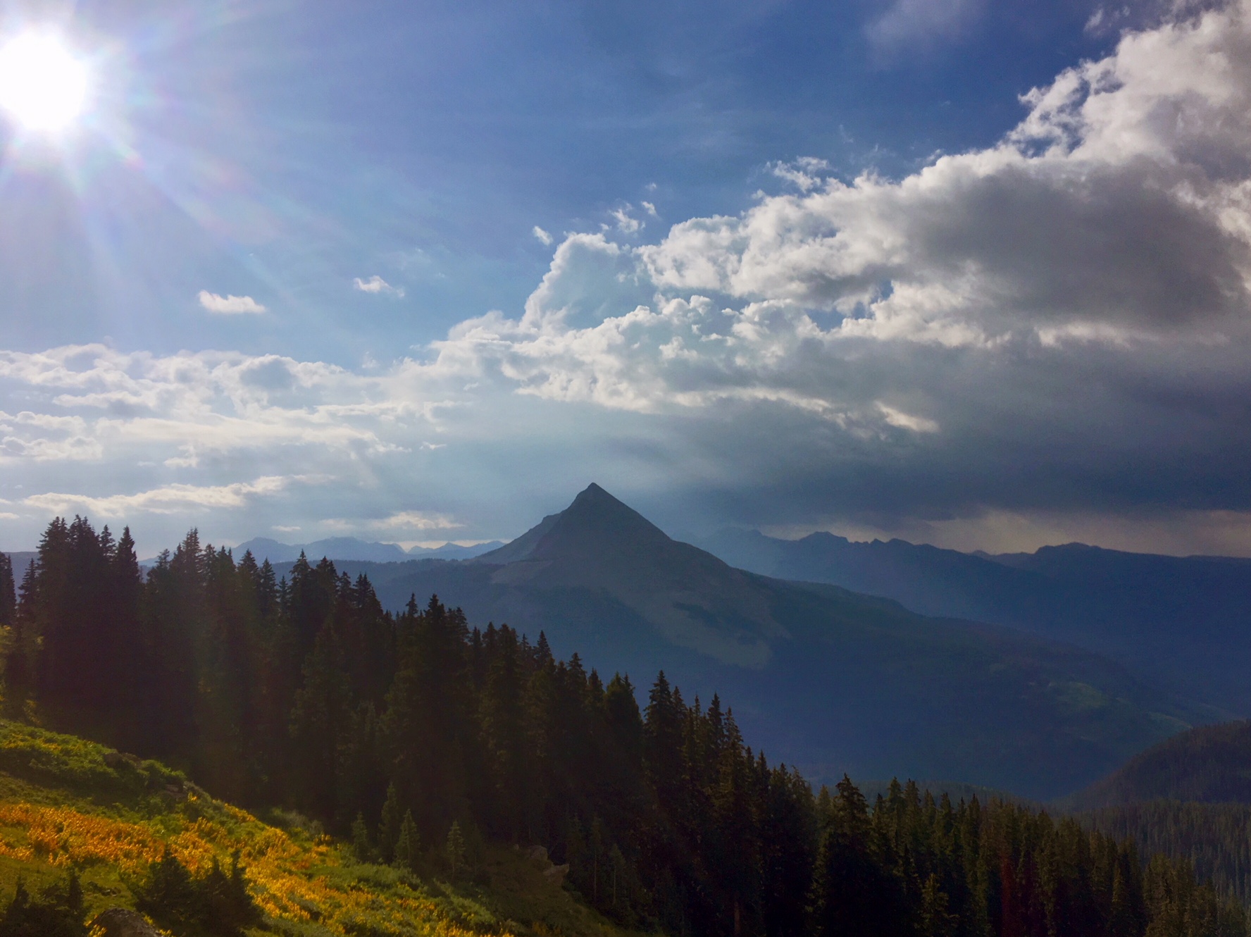
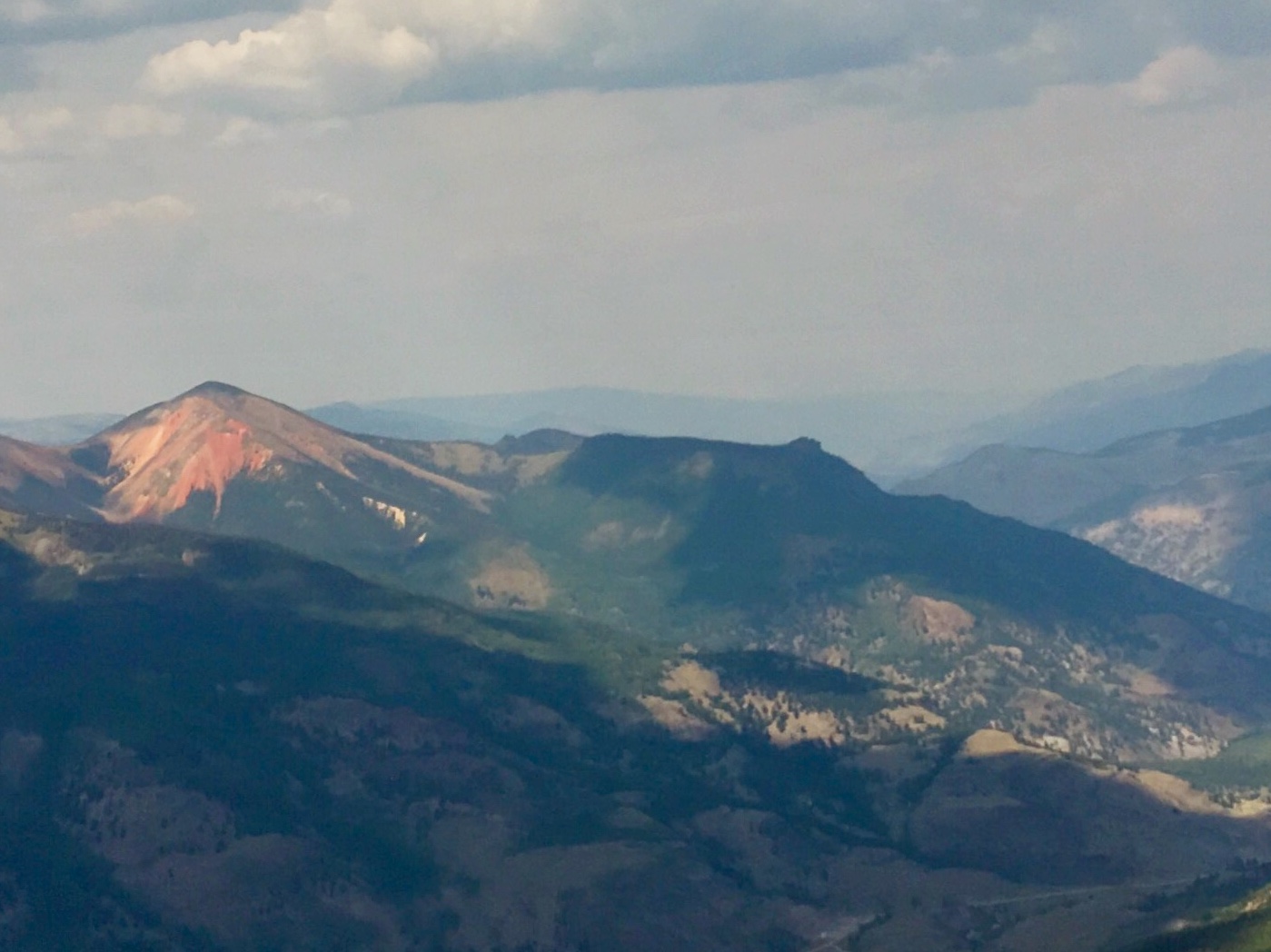
Not sure the name of this peak…
If you zoom in on the right side you can see the very distinctive Lizard Head Peak.

It kind of looks like it’s giving you the Finger…

One last shot of the Lizard Head…

This is my homemade rain-cover…basically a giant shower cap (or condom).
It’s made of polycryo (window wrap), a shock-cord and some gorilla tape…weighs 1oz.

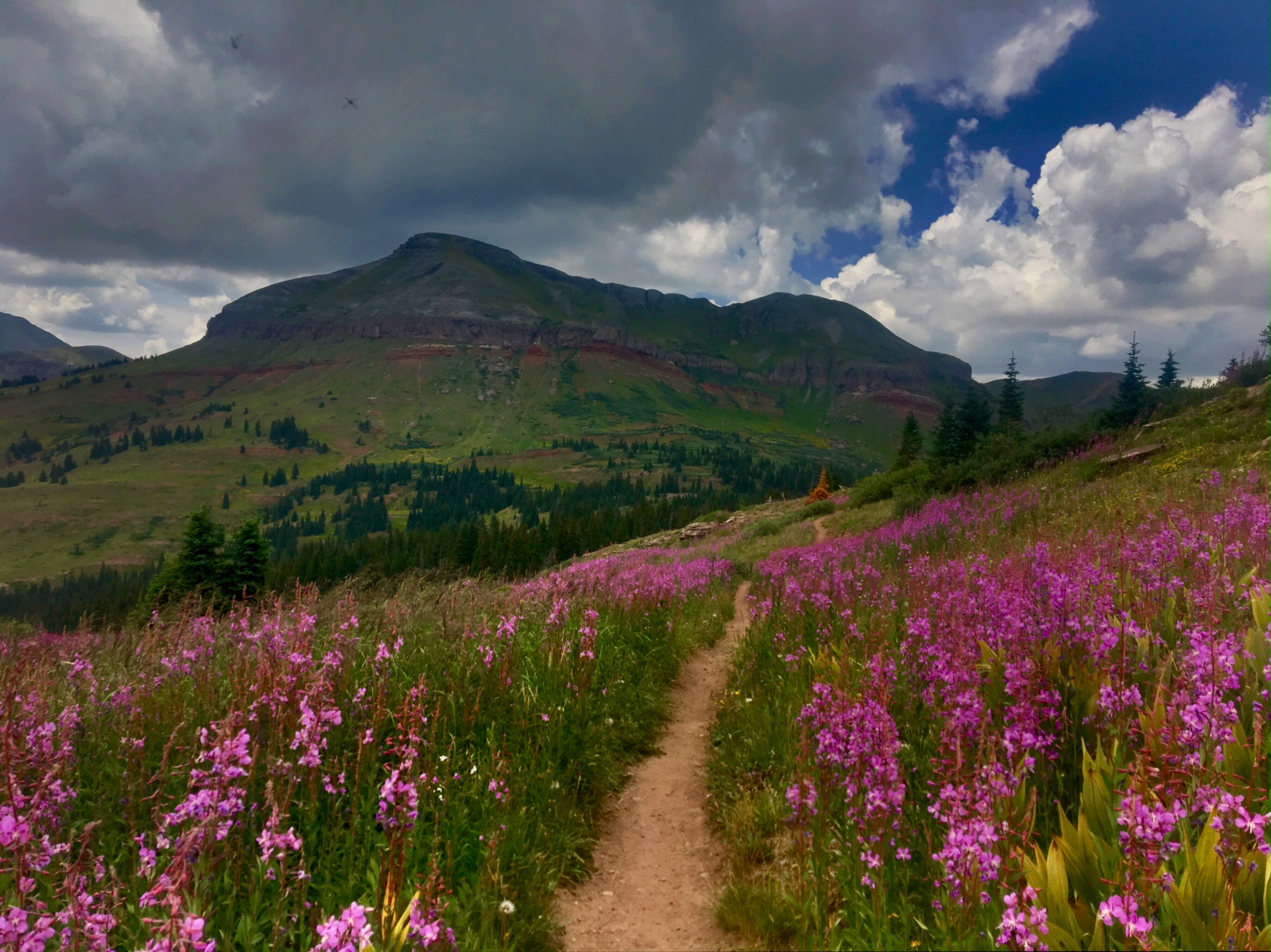
These are the kind of light fluffy clouds I like…much better than the dark angry ones!

Hard to believe I only have one more night!
There’s 33 miles left and could probably finish tomorrow but I figure I’ll stretch it out and have a nice easy morning into Durango on Tuesday.

The 9 miles to the Molas Lake Campground was fairly easy trail with one moderate climb out of the Animas River valley.
The weather cleared out overnight and the morning was clear skies.

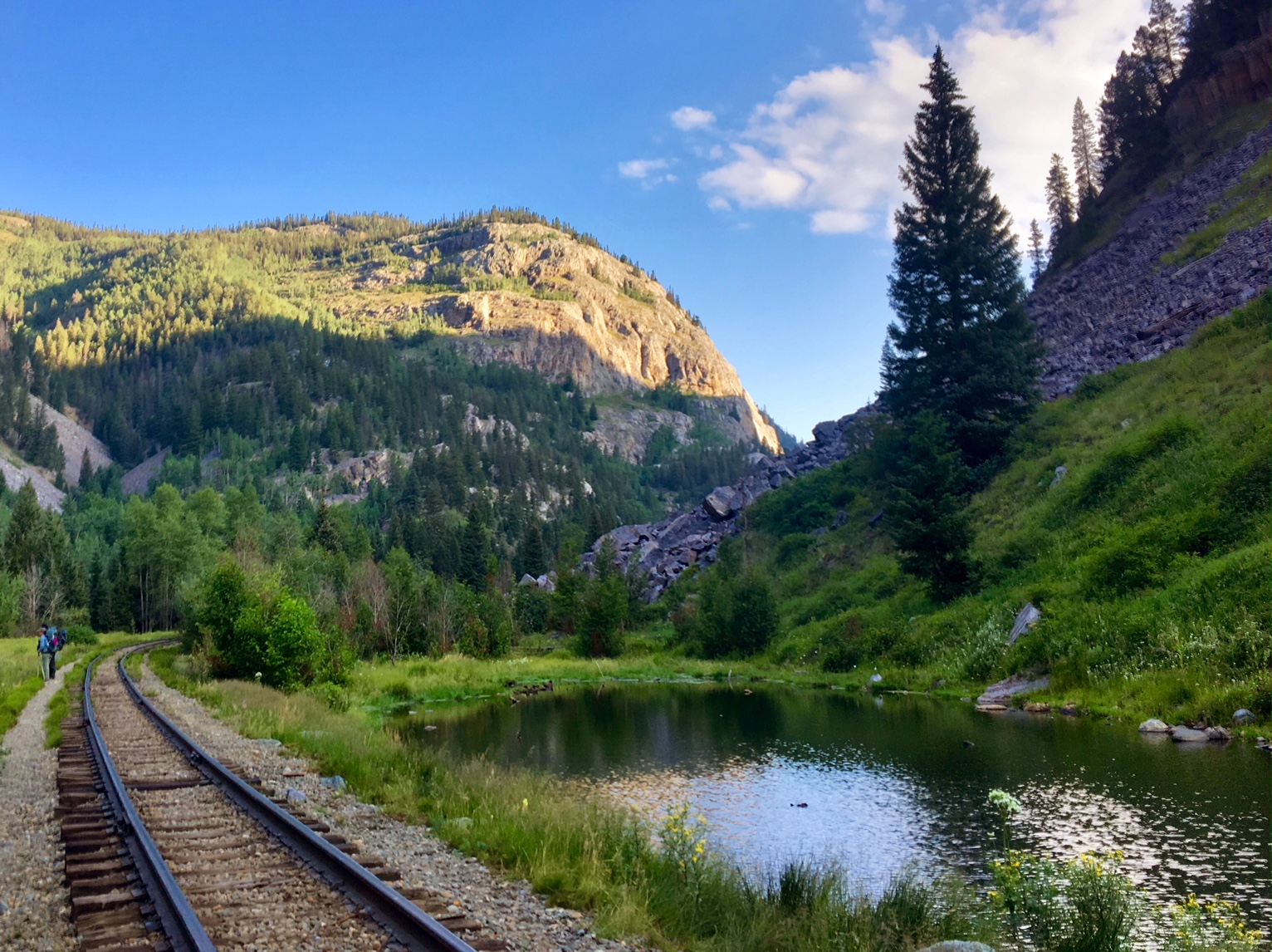
The Durango-Silverton scenic train follows the Animas River. At just under 9000’ in elevation, this is the lowest point on the trail since around Mile 40.
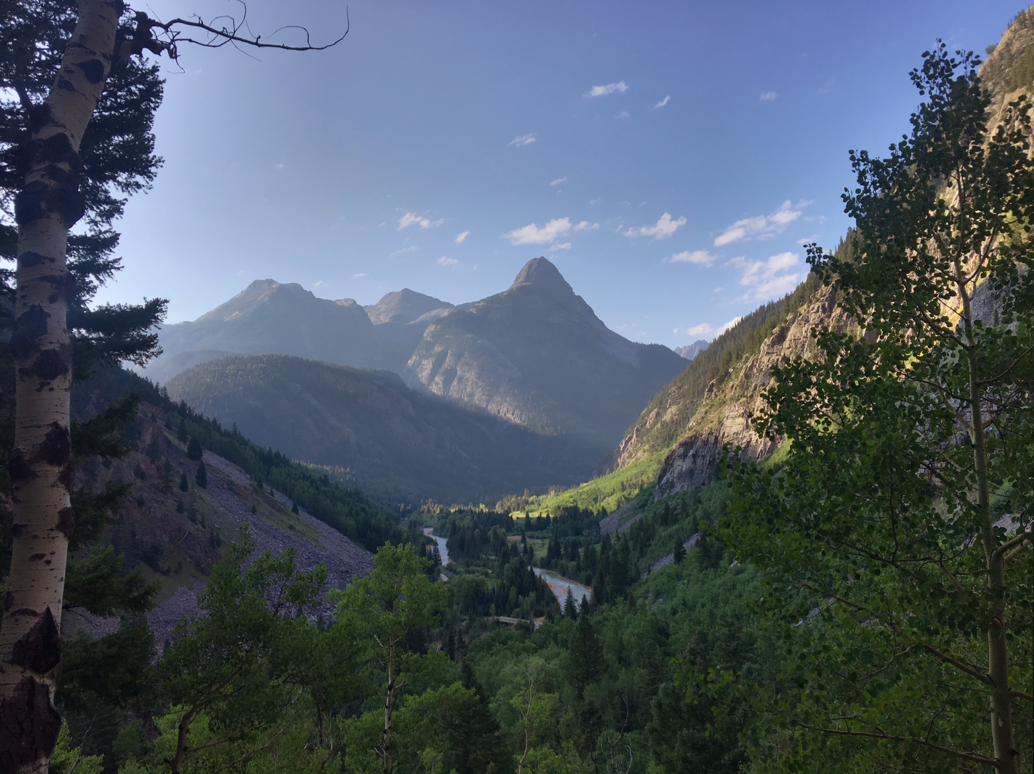
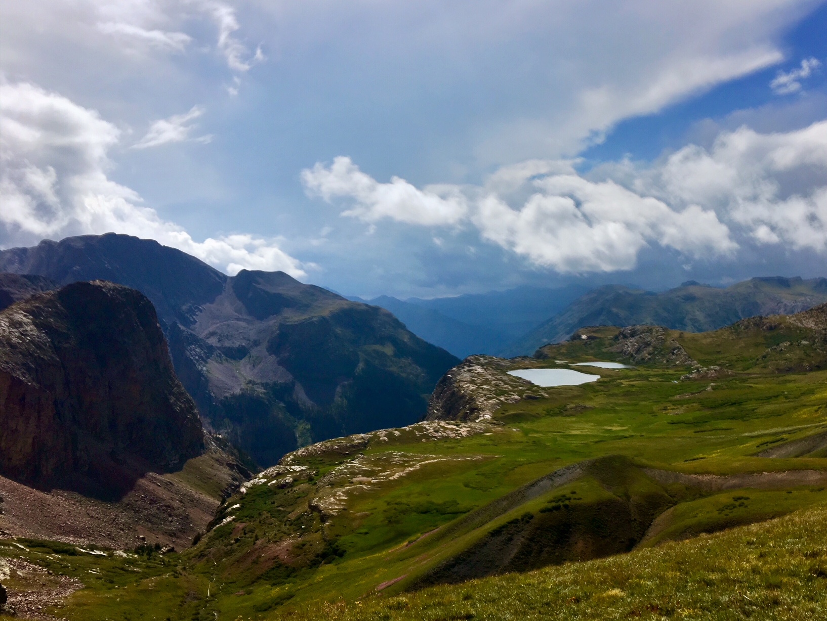
The San Juan mountains are quite dramatic.
After stopping at the Molas Lake Campgrounds I decided to hitch the 6 miles down the mountain into Silverton for some breakfast. Then, around 12:30 I hitched back up to the trail.

A spectacular patch of wildflowers above Molas Pass.
Even with my 3.5hr detour into town I was able to make camp by 6:30 with the sounds of Cascade Creek to lull me to sleep.
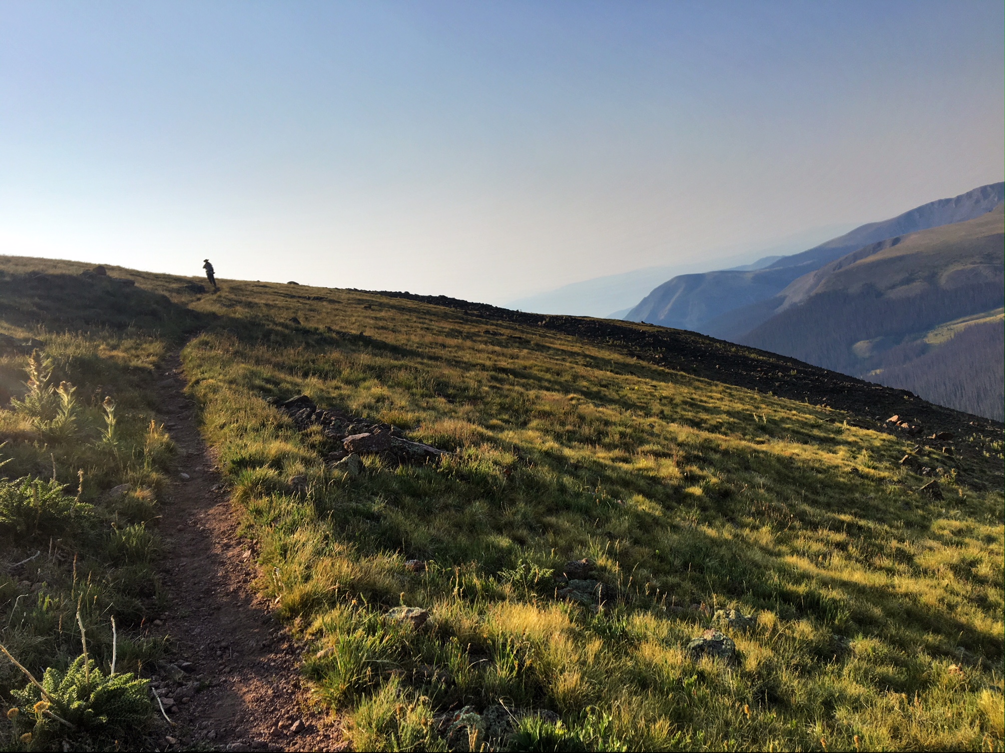
Woke up to a cool, damp, overcast morning. Most of today’s miles were going to be above treeline between 12,200 and 12,900’.

There was a giant bull moose grazing around this pond (his girlfriend is in the willows to the left). I saw a total of 5 moose today !

Not sure the name of this peak, but it seem to be glowing on the horizon.

A big fat yellow marmot.

Most of the day looked like this with occasional mist, spit or light rain. The sun popped out for a brief appearance a couple times as well.

One of the more elaborate cairns marking the trail.

This is how I roll when the rain picks up…luckily it wasn’t windy.

The mighty San Juan’s.

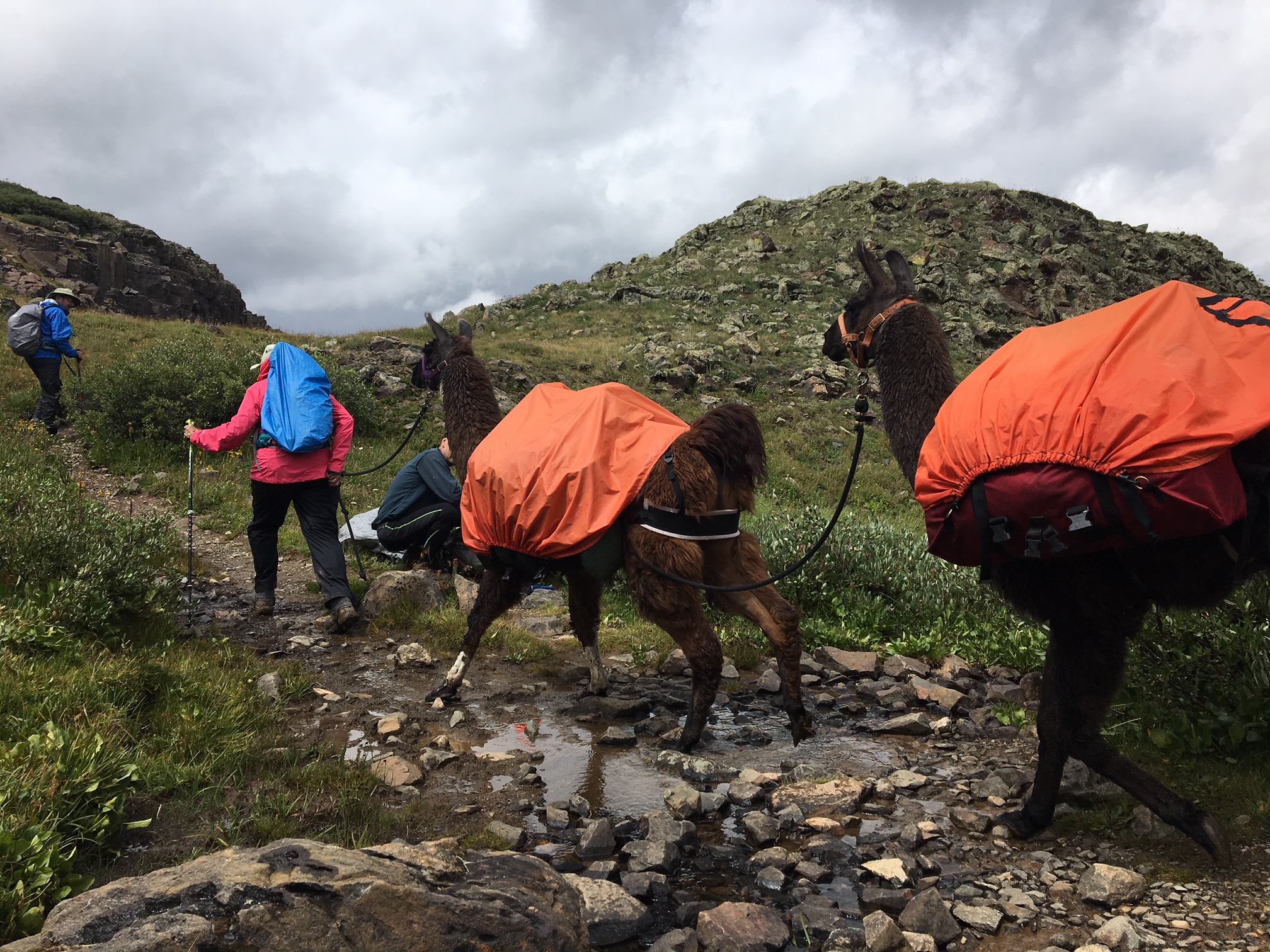
I might need to get some lamas to carry my stuff next time 😉
The trail is just about to turn and drop into the Elk Creek gorge before it joins the Animas River.
Still some wildflowers hanging on.

One last marmot pic.

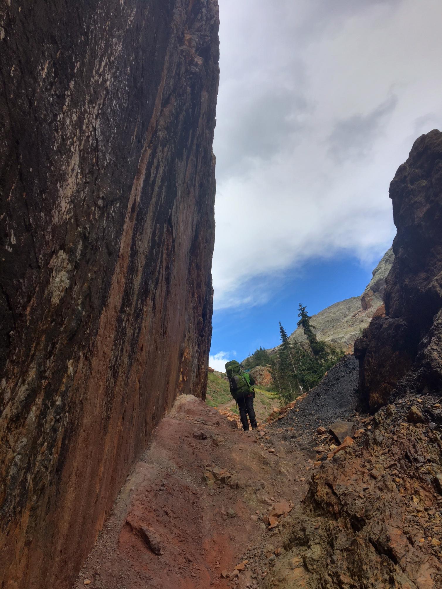
An impressive bit of trail construction through the gorge.
After several thousand feet of descending there was a perfect campsite next to a pond…there are even three deer feeding on the far side.

It was nice sleeping in a bit today…6:15 🙂
I strolled down to the Lake City Bakery and figured it must be good based on the line…then I realized to they could only fit three people in the store at a time (it was still good!).
Around 9:15 I hitched a ride back up the mountain to Spring creek Pass. Janet and Mike were a nice older couple who have lived in Lake City for 40yrs., although their little Honda Civic wasn’t breaking any speed records going up Slumgullion Pass they got me to the trailhead safe and sound!

The right side of the V-notch in the background is San Luis Peak that we climbed a couple days ago.

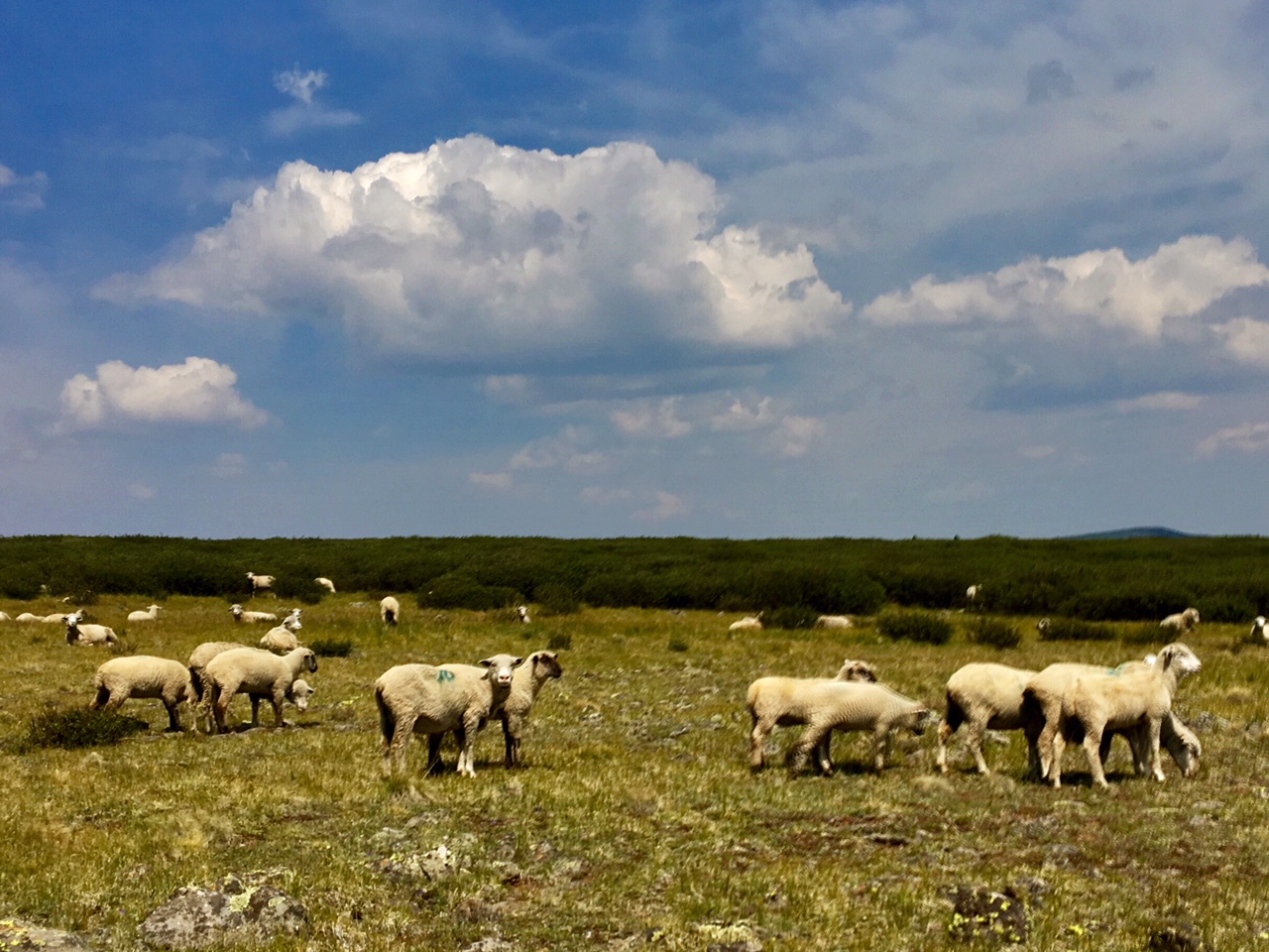
I Hiked past a bunch of sheep today. Between the landscape and the bleating it kind of felt like Ireland.
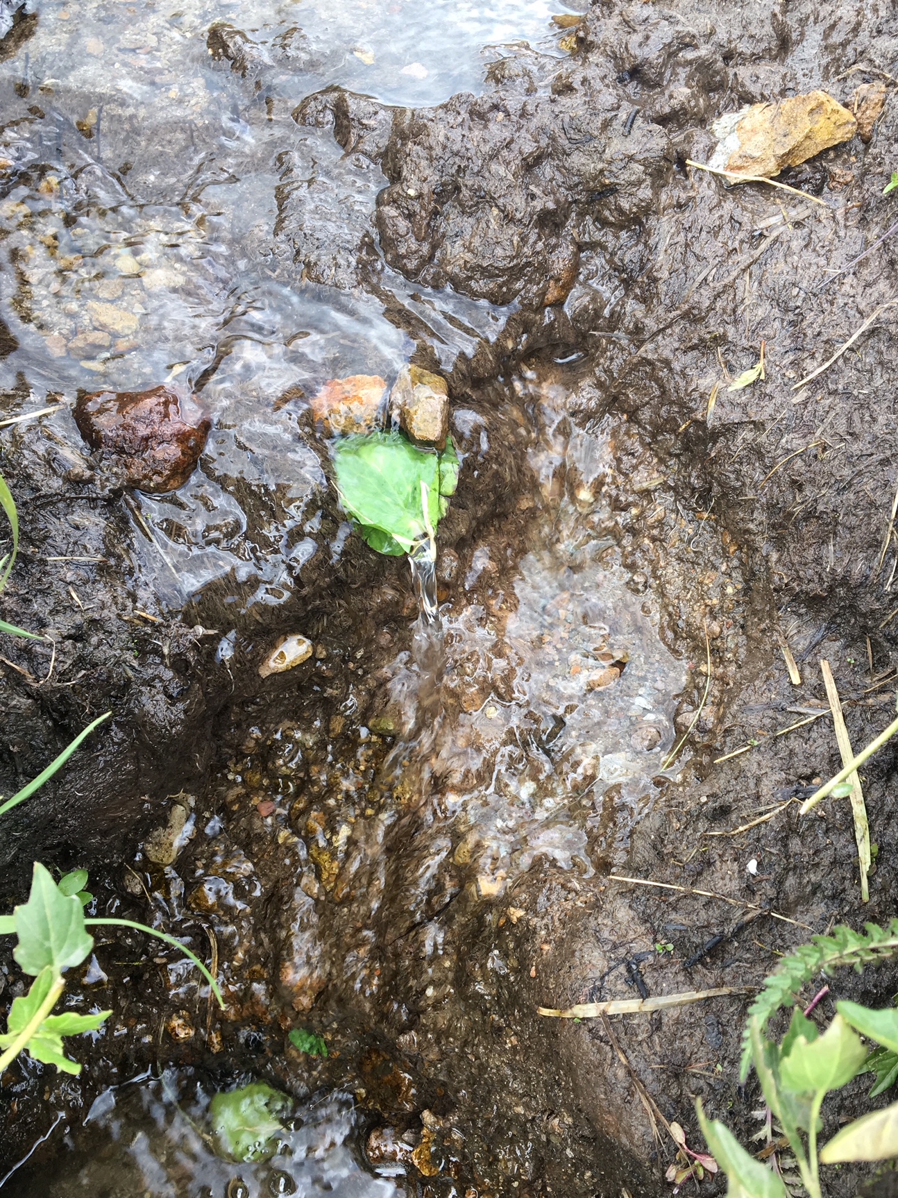
This was the only water source of the day until I got to camp.
Most of the day the trail was at elevations over 12,500’…a treeless barren tundra. Thankfully, the weather held out.

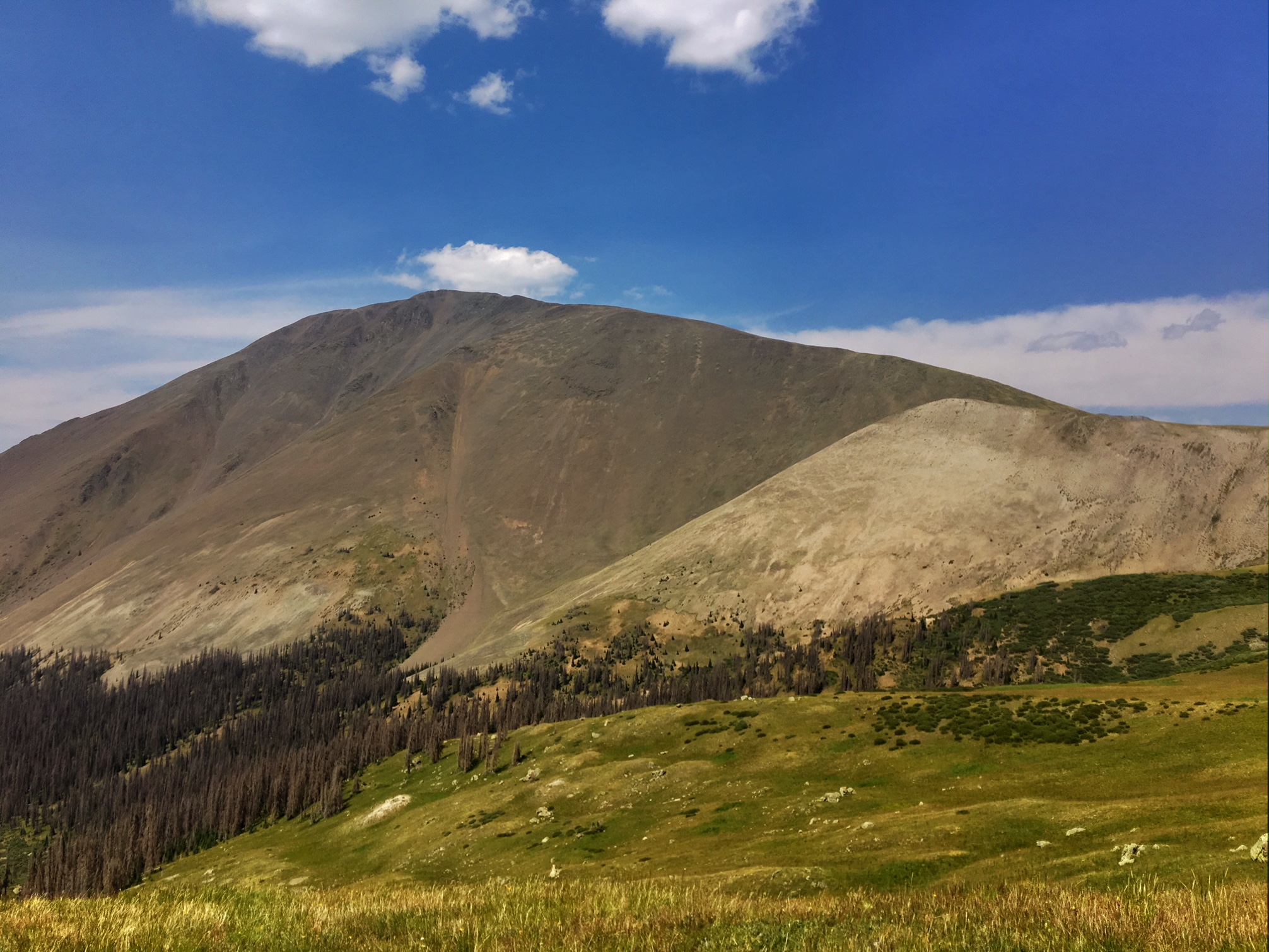
This is peak is called Redcloud.
You’d think it would be all downhill from here ![]()

I got to a great campsite around 6:00 and I had enough time to eat and relax before the rain came around 8pm. At 7:30 Albert rolled in (he hitched out of town an hour after me)… unfortunately, he didn’t get his tent setup before the rain.

Today was a short day to Spring Creek Pass and then a hitch into the town of Lake City.
There was a short steep climb to get the day started then we rolled along Snow Mesa at 12,300’
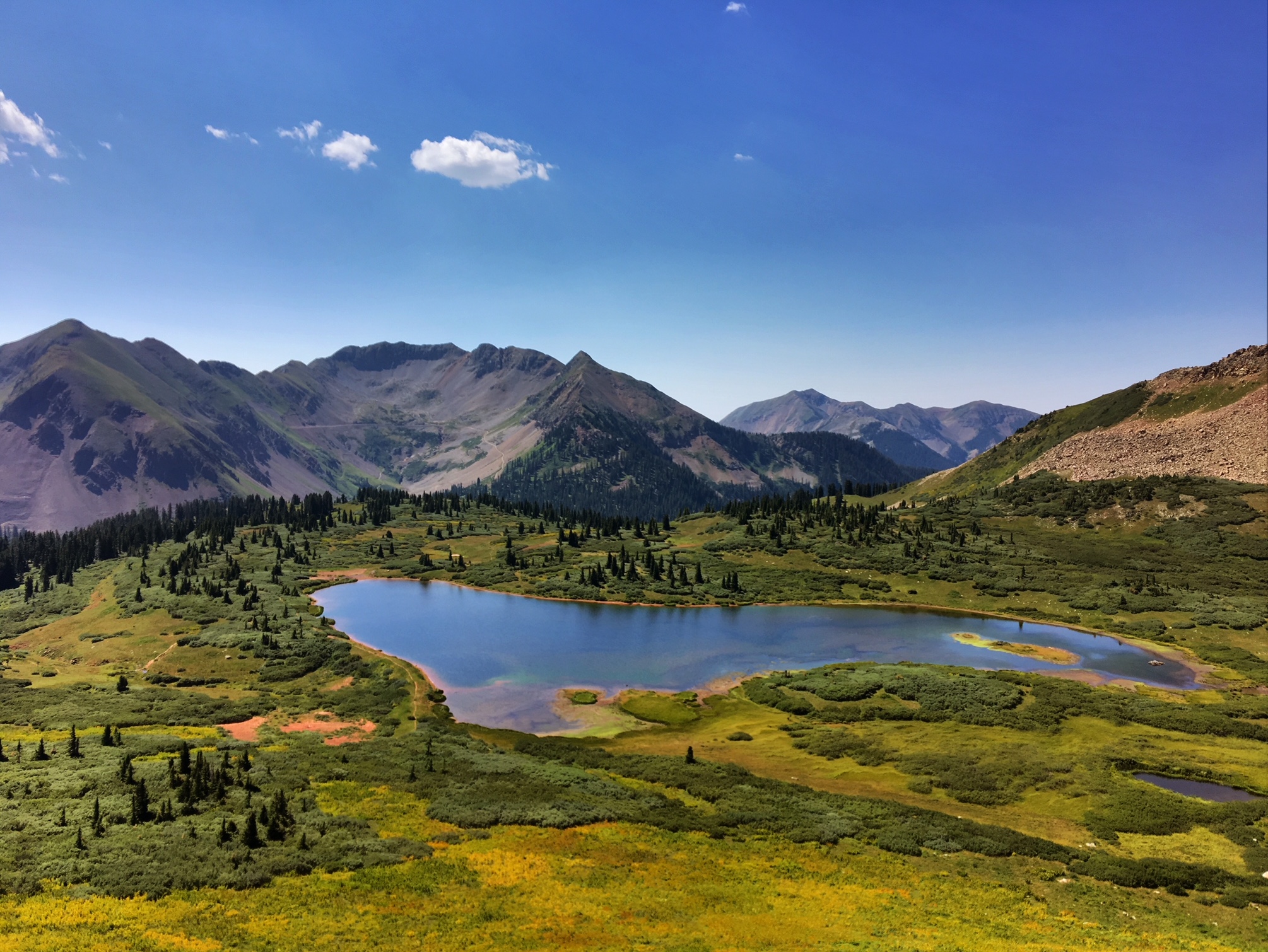
Snow Mesa is quite impressive.

This would have been a terribly exposed place to be hiking if bad weather was coming through…instead it was bluebird morning.
More incredible views of this giant bench at 12,000’ +

I’m sure these trail markers come in very useful earlier in June or July when the snow is still melting…when the weather turns ugly.

The descent off the mesa was through this giant scree field.

It took about 45 minutes to get a hitch from the top of the pass for the 20 mile drive down the winding mountain road…at least we had some furry company.

Downtown Lake City in all its glory.
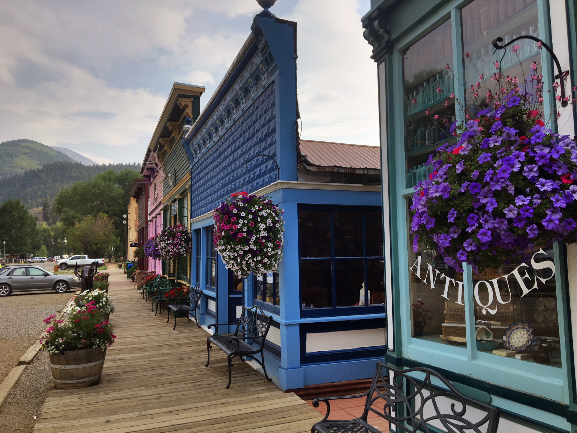
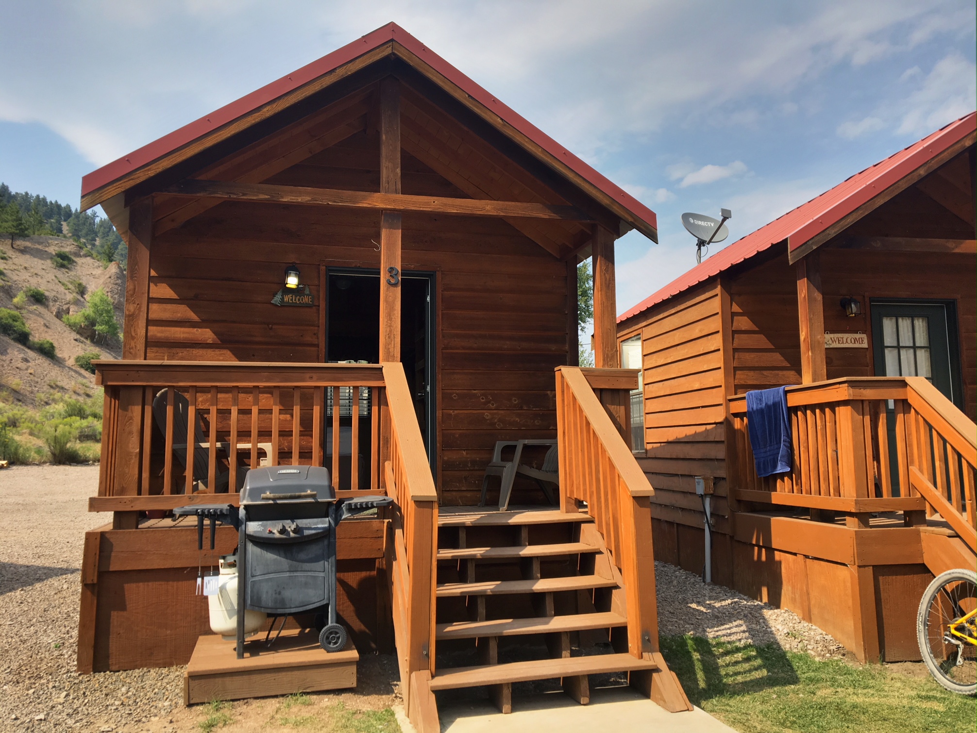
Albert and I shared this little cabin just off Main Street at the local RV park. Showers, laundry, wifi, and beds…perfect!
Tons of side by sides parked all over town…mostly from Texas.

Well earned food and drink with Albert and Sylvia (from Italy).

This morning was the coldest morning of the trip…probably just below freezing. After a couple miles of hiking we arrived at a trailhead parking area where hikers did their best marmot impressions warming themselves in the sun on the rocks.

The trail continued through open range as we dodged cow pies with each step.

We steadily gained elevation following the Cochetopa Creek up the valley.

Yeh trail crested a saddle around 12,600’ where there was junction to San Luis Peak (14,040’). Albert convinced me to go on the 3 mile round trip detour.

San Luis Peak…we followed the right ridge line to the top.
Just before the summit.

It was a little hazy from wildfires but the views were still fantastic. It took about 1hr to the summit and 40mins to get down.

The rest of the afternoon we were above treeline with several steep short climbs.

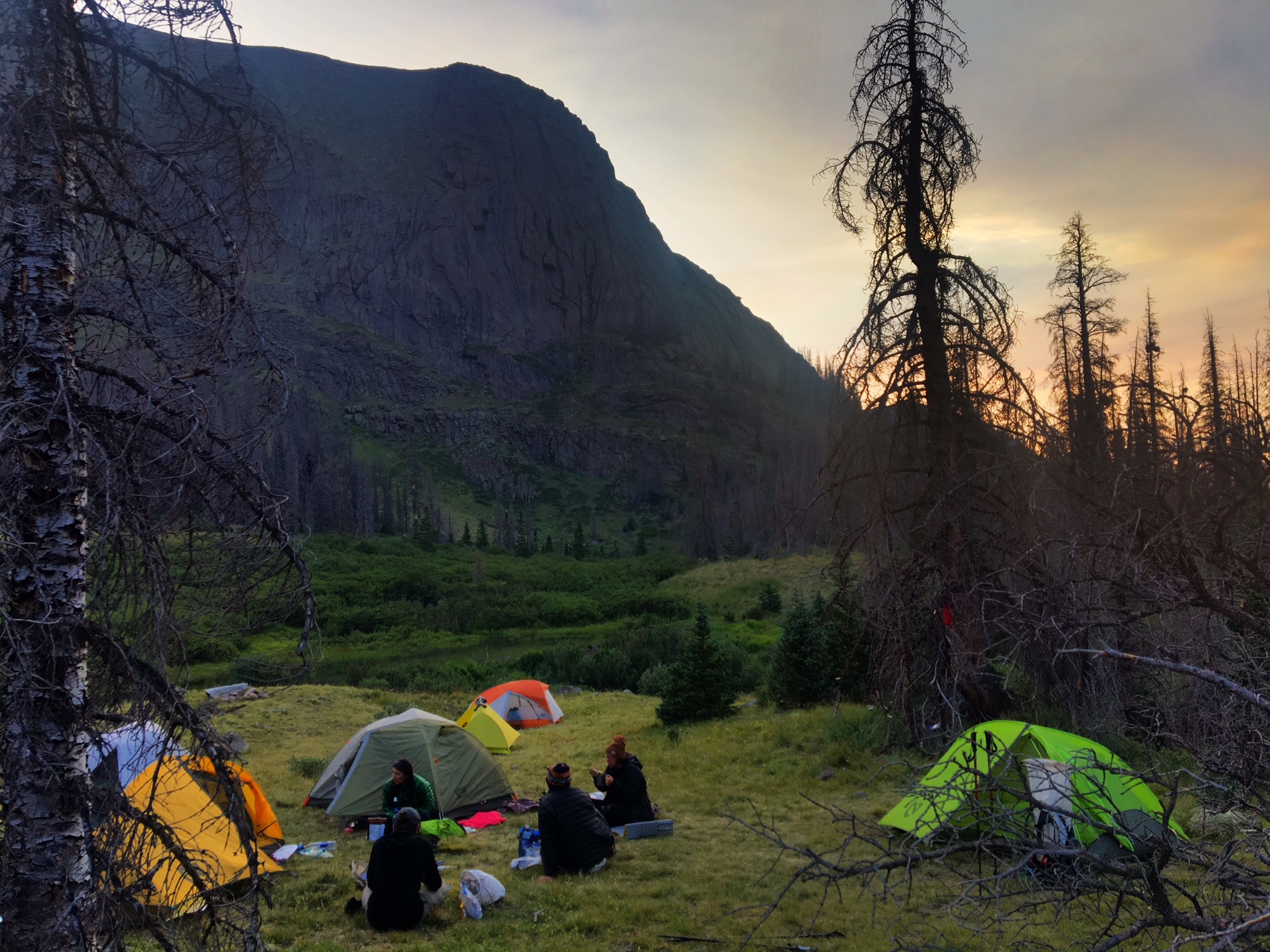
We arrived at camp around 6:45 and it was by far the busiest campsite I’ve seen so far (not sure why?).
The last half of the day was a grind with all the steep climbs. All-in we climbed over 6500’ and my legs were feeling it on the final descent into camp.
It was a beautiful blue sky day.

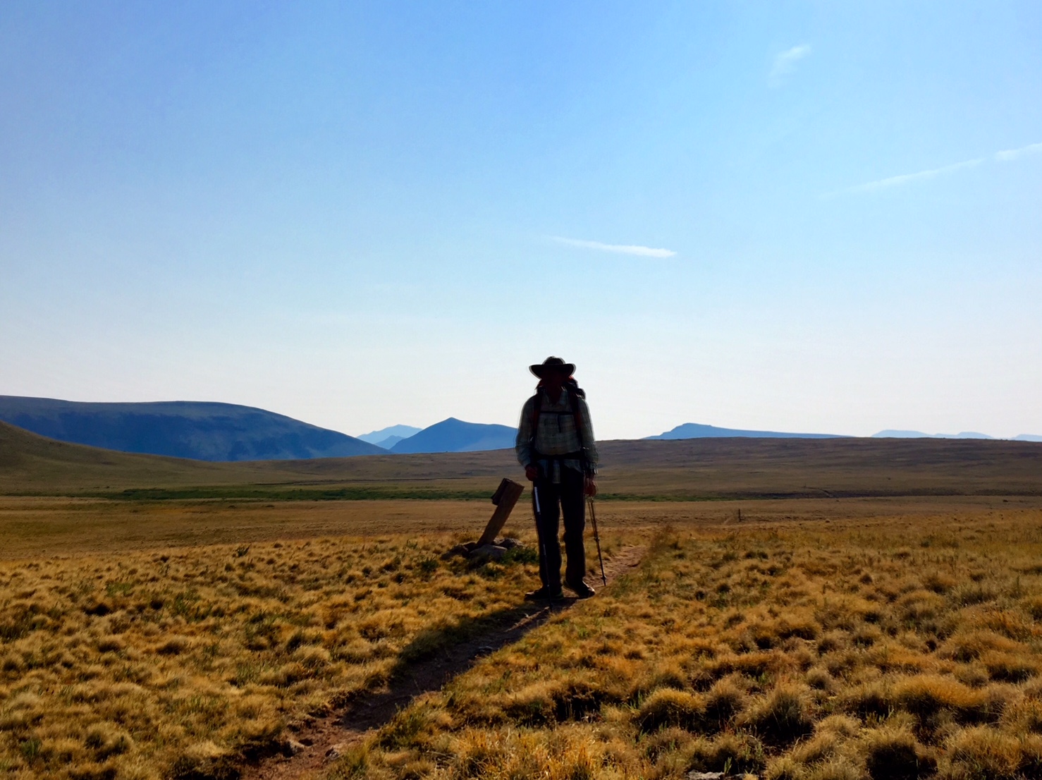
An hour into the morning the 300 mile mark was celebrated 🙂

There weren’t many water sources today and the few there were looked like this…plus lots of cow poop in the vicinity! Luckily, the creek was still running and I was able to fill up just before the mud puddle.
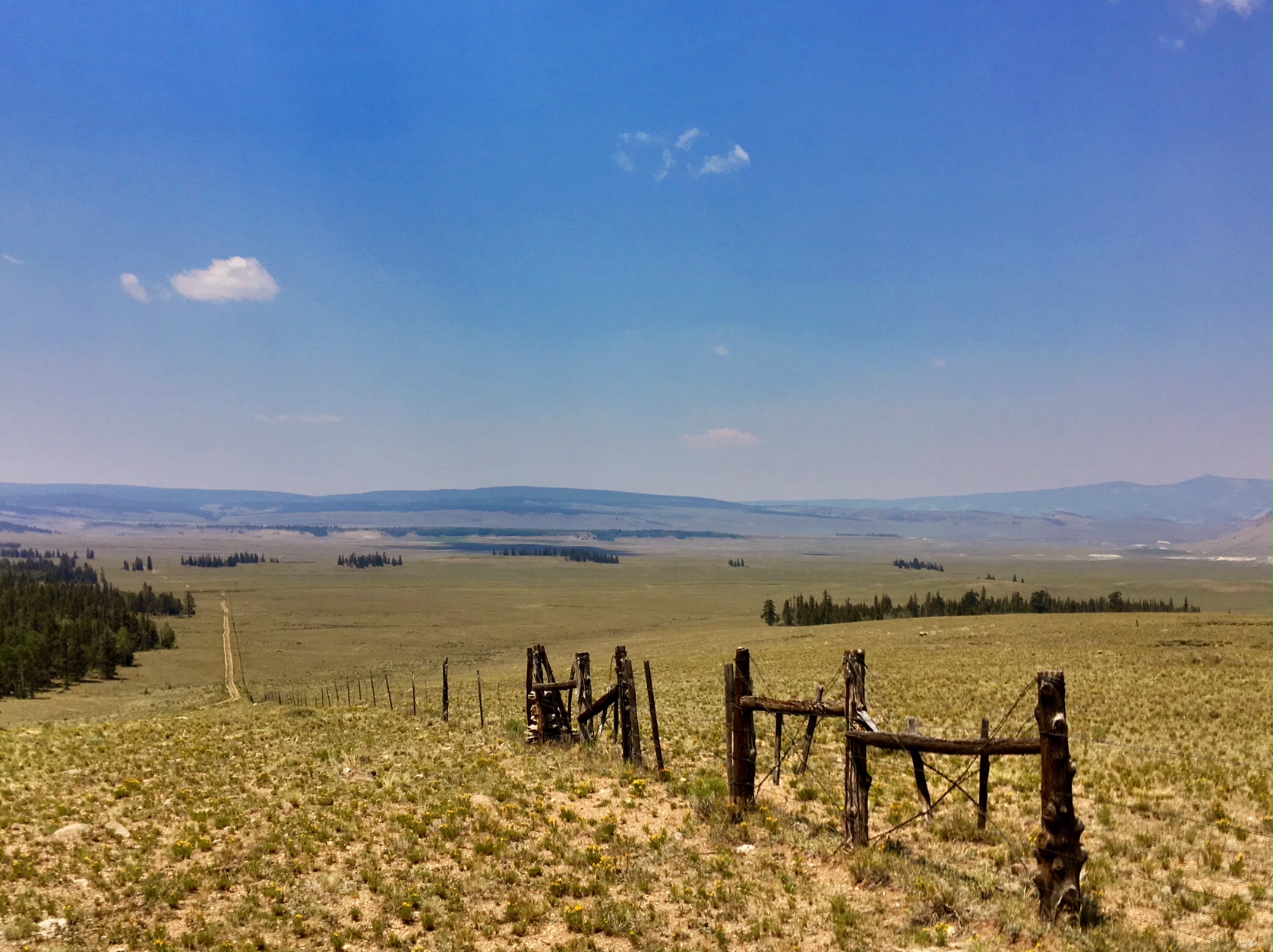
The rest of the day (15+ miles) followed dirt roads through ranch land. Mild temps and a breeze made this section bearable.
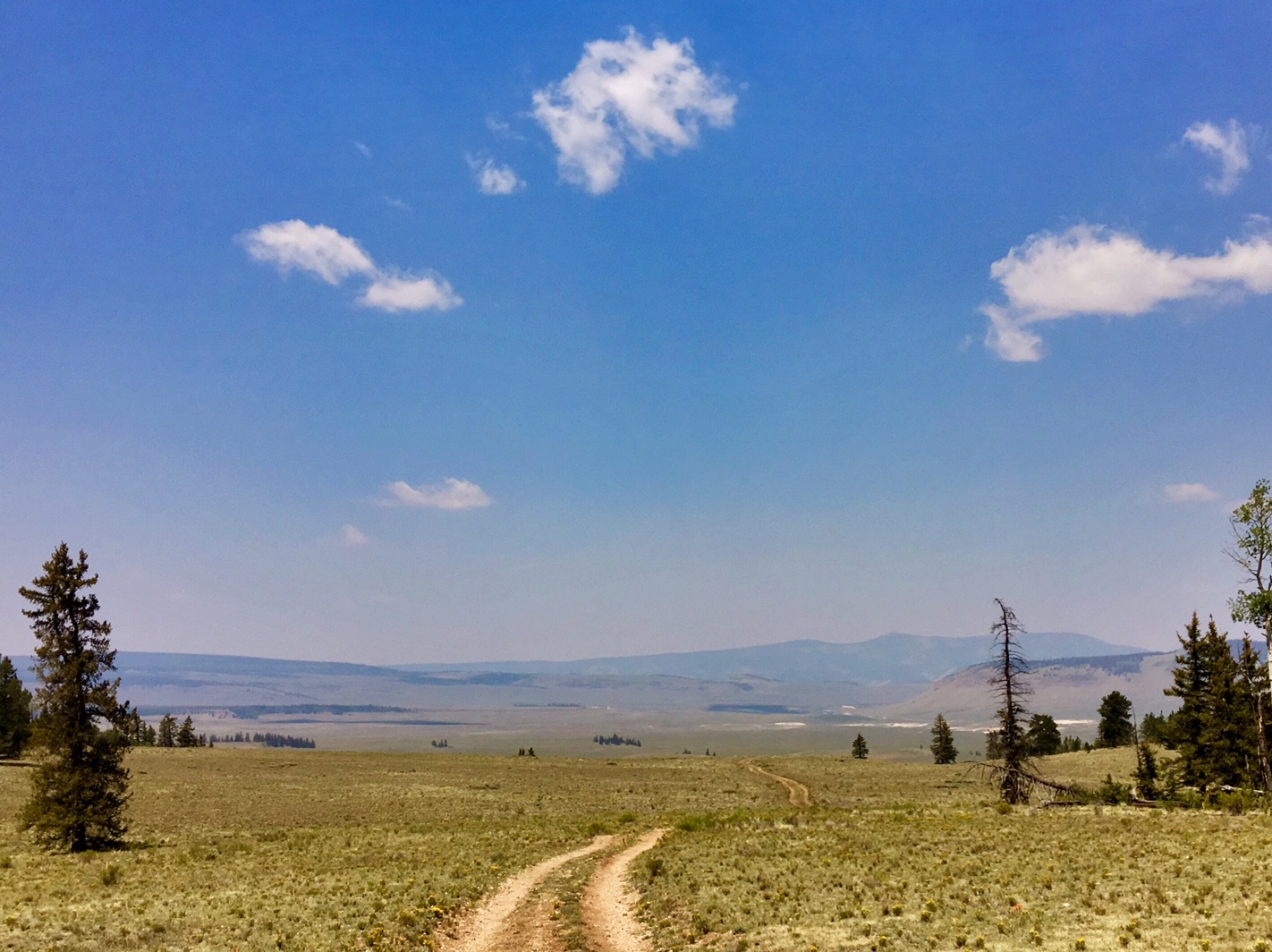
Followed this fence line for a while too.
Lots of cows to keep hikers company.
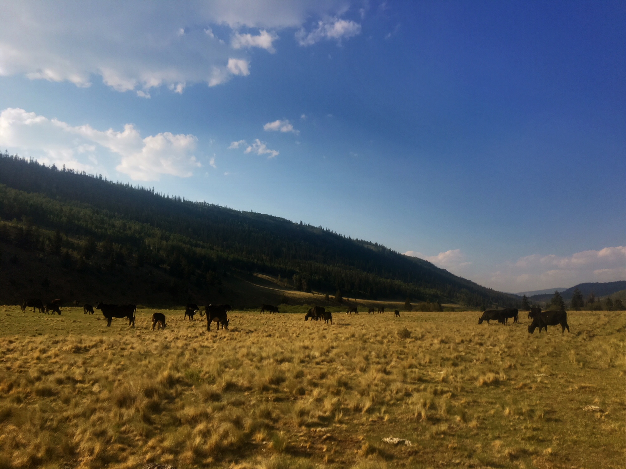
Albert is having a standoff with one of the braver ones..he thought it was a black moose.

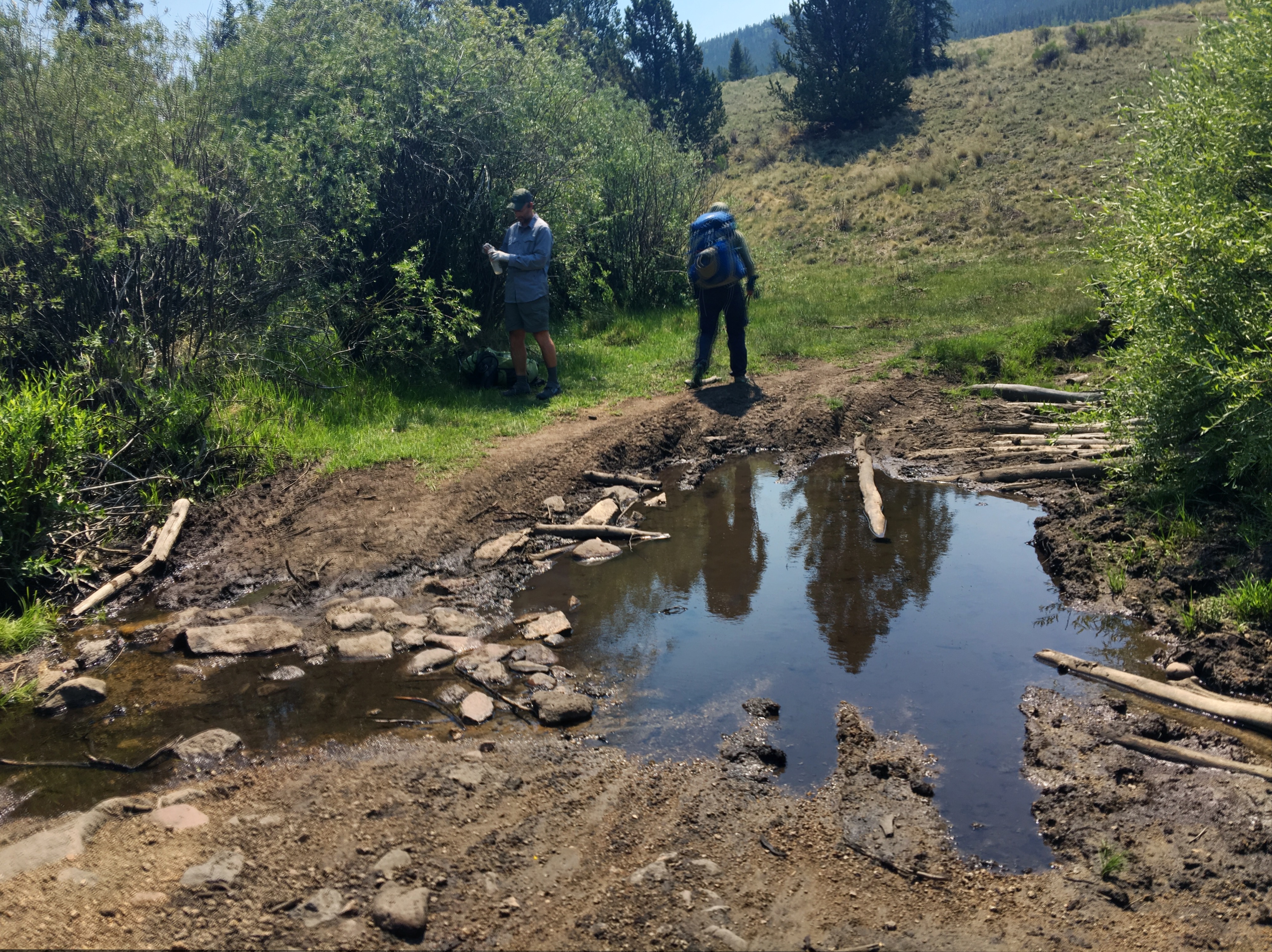
Just before the end of the day we forded Cochetopa Creek on some sketchy logs. It would not have been a big deal to just walk through the ankle deep water.
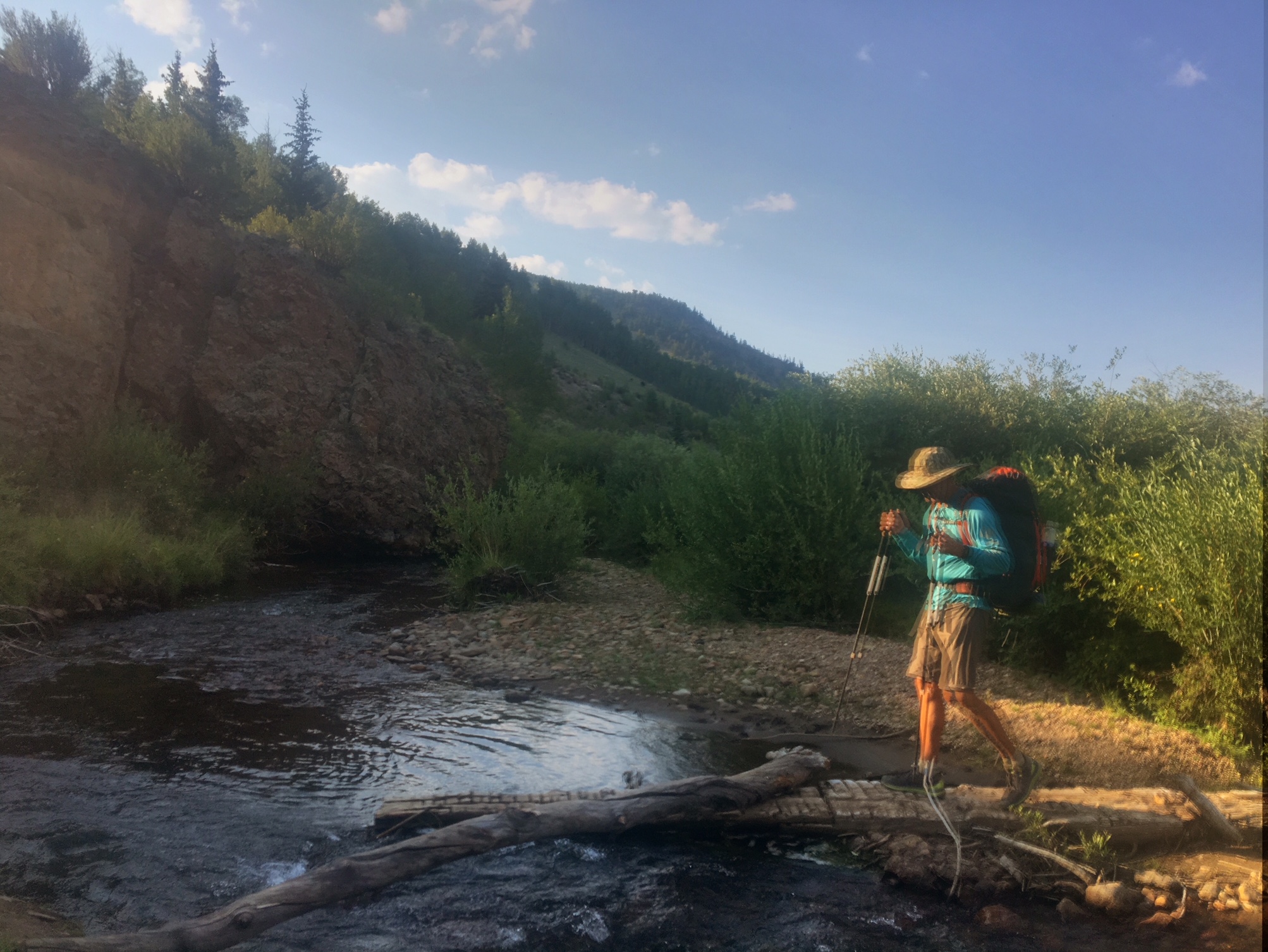
We found a beautiful campsite on a bluff just above the creek…only spoiled by the fact we were surrounded by cow pies.