Day 46, 5/21: M-842, Reids Gap-brewery (11mi)

It was great to sleep in, especially since we were warm and dry inside and It rained pretty hard last night. The river in front of the cabin was flowing like chocolate by morning. I was feeling better but very happy to have an indoor bathroom nearby that didn’t require a 200′ climb in the middle of the night.

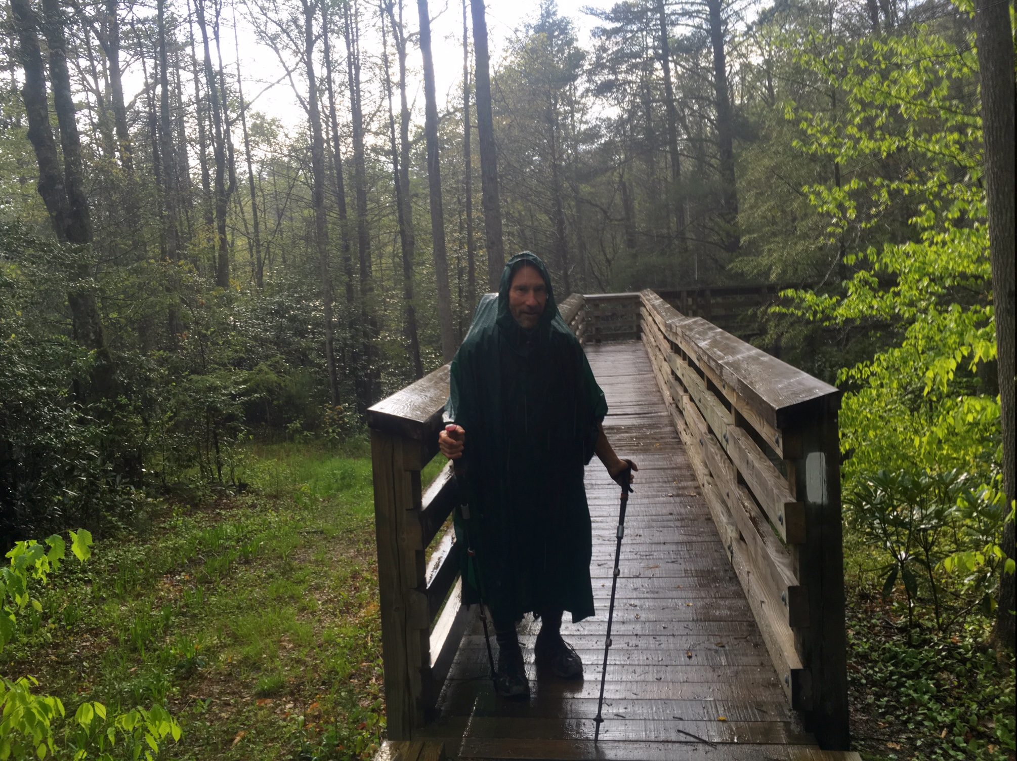
We departed about noon and immediately crossed this cool suspension bridge over the Tye River.

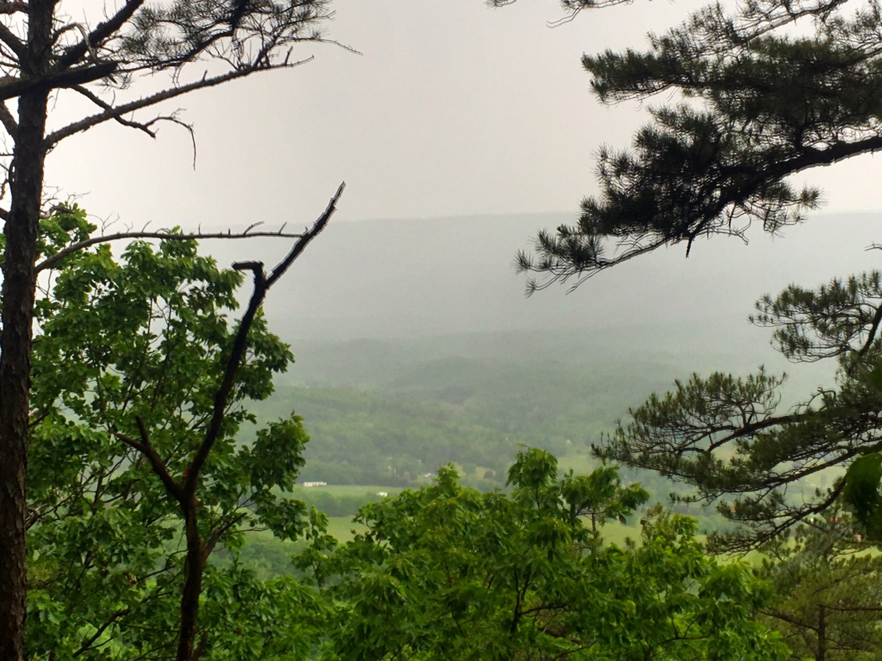
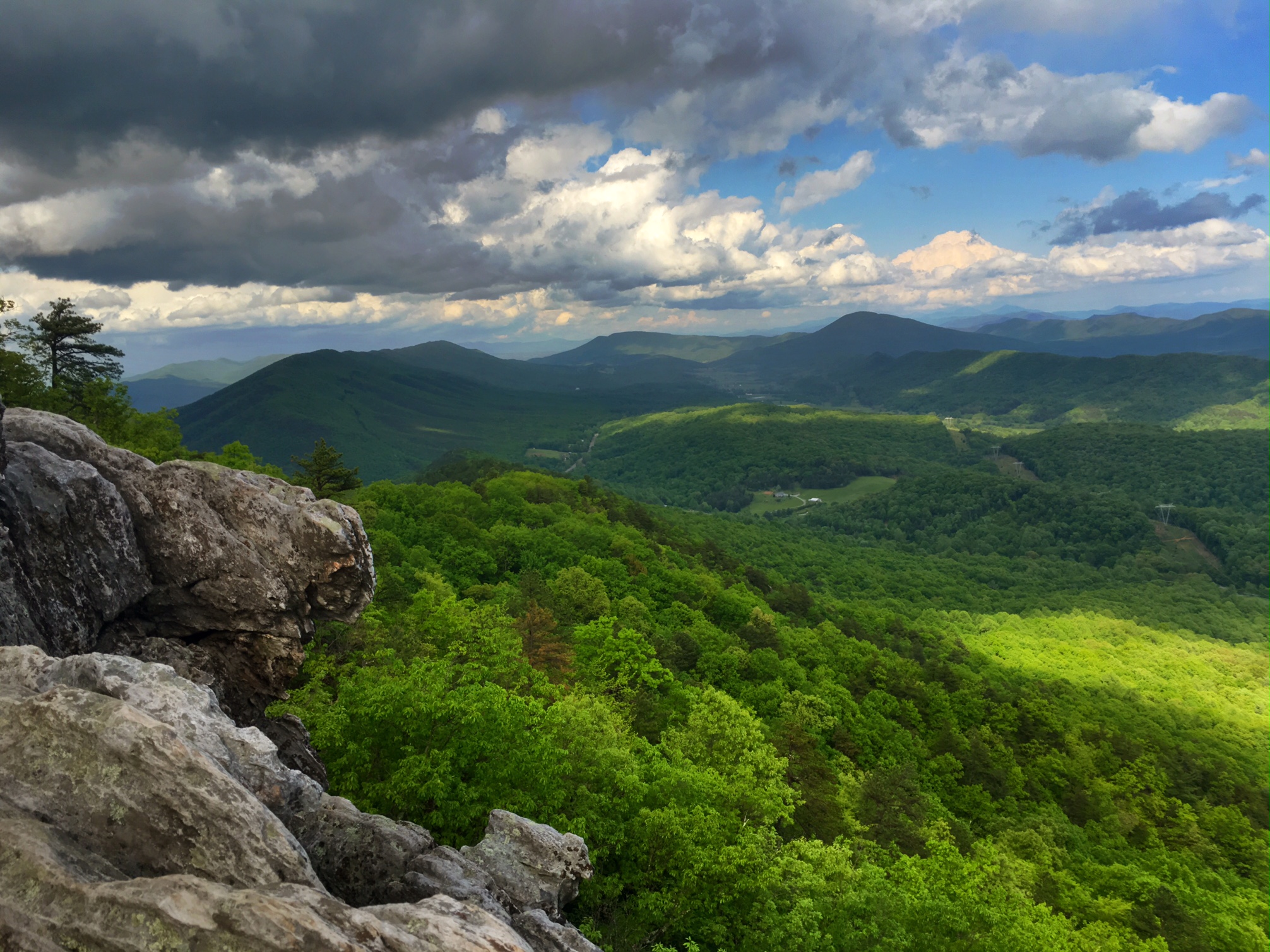
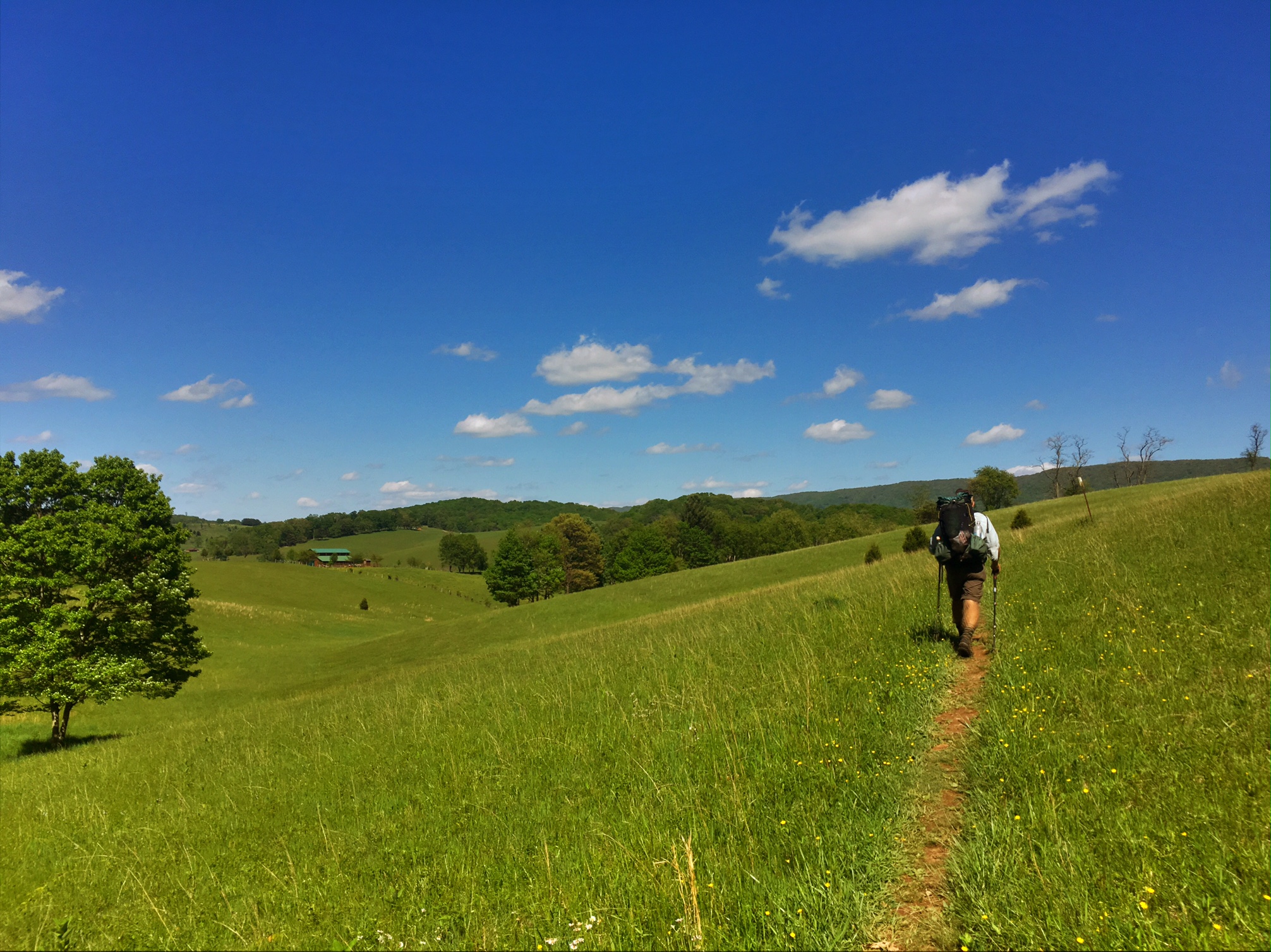
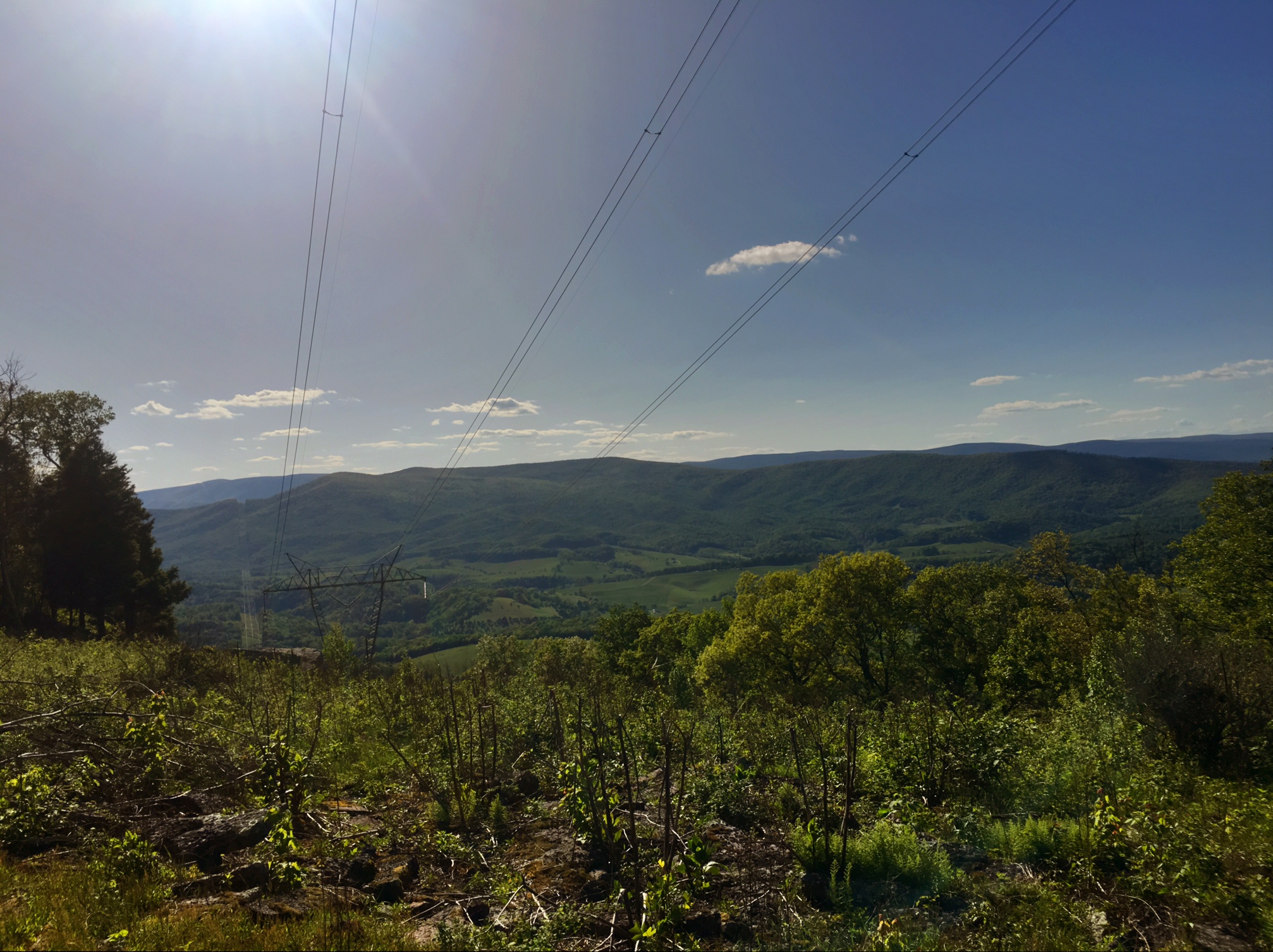
The clouds came rolling up the valley as we did our 3000′ climb. I definitely did not have my energy back…I was dragging and legs were heavy

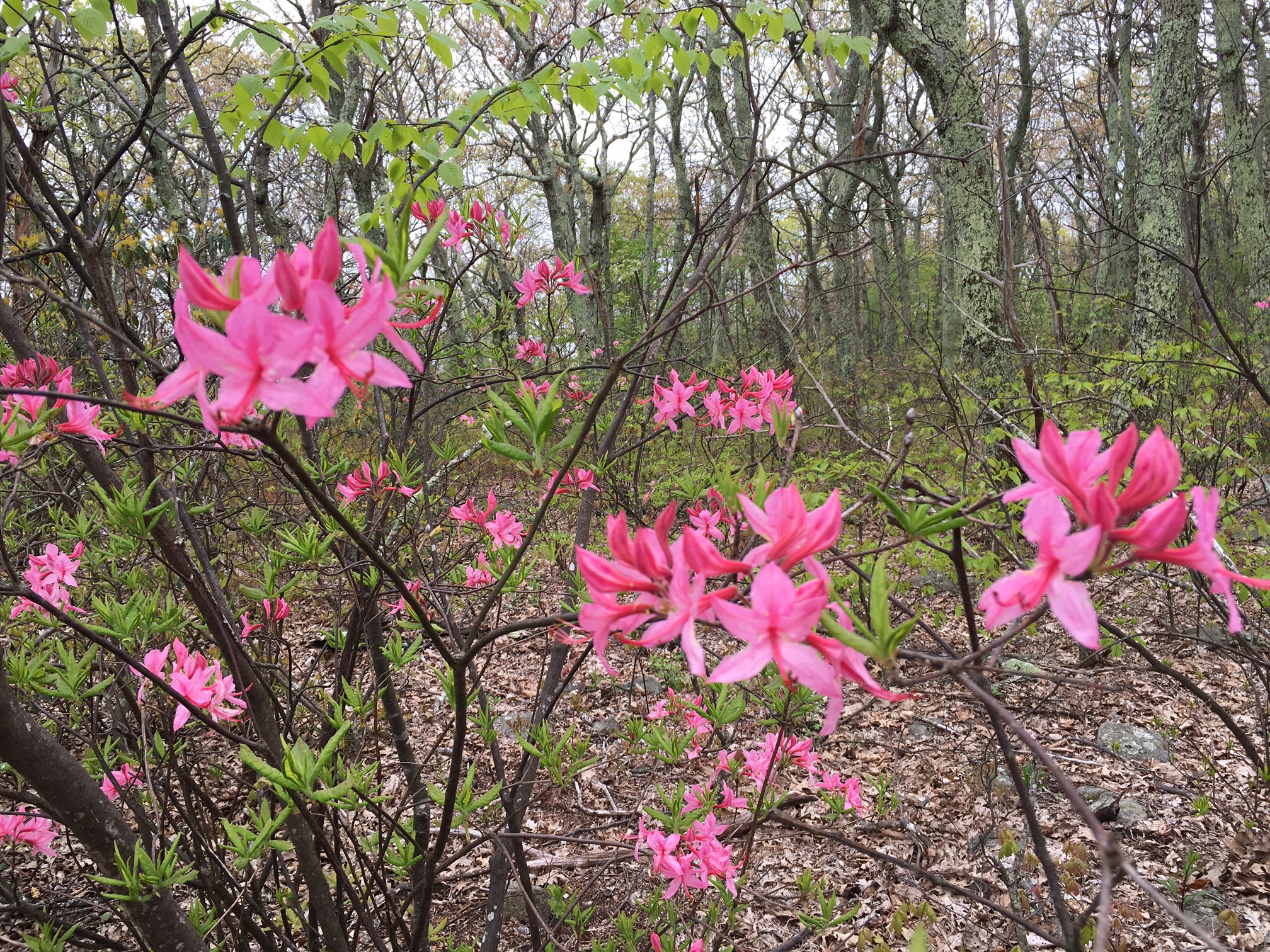
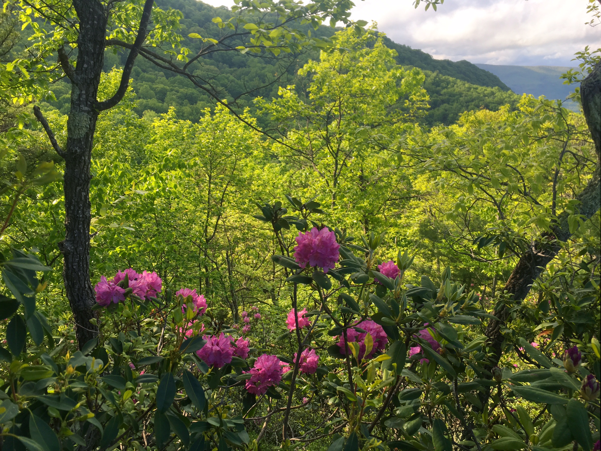
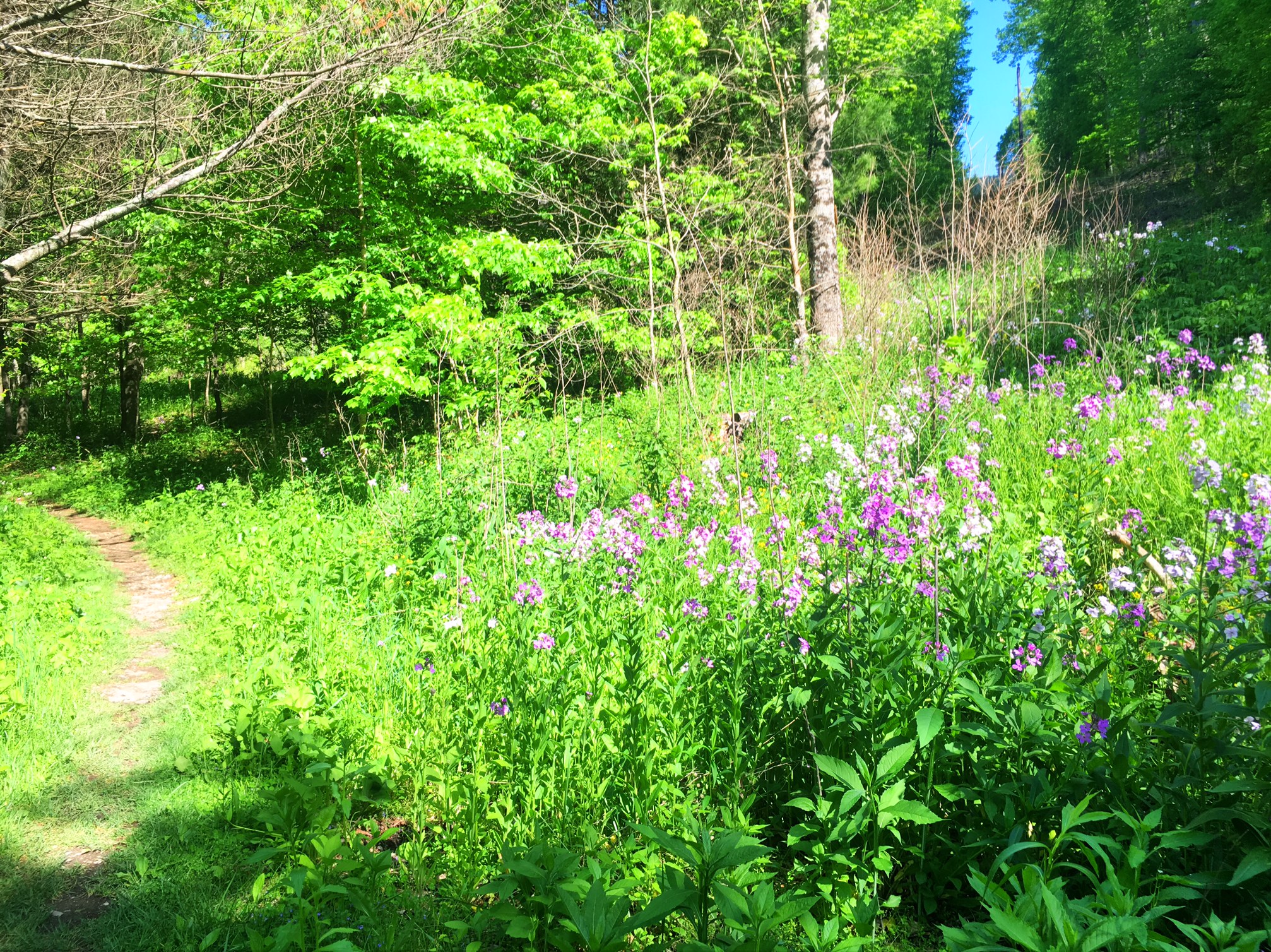
Some beautiful unidentified flowers.

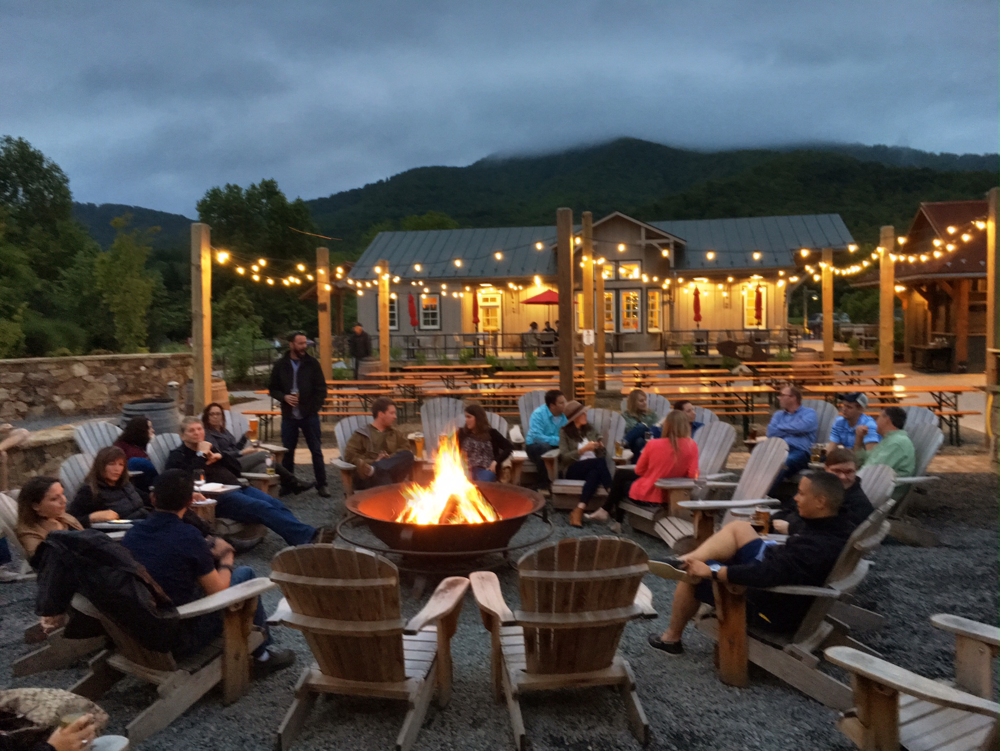
Just as we were about to set up camp for the night some day hikers offered to give us a ride to the Devils Backbone Brewery 5 miles off trail. So we hiked another couple miles to Reids Gap and piled into the Honda Civic.

Jeff and his son Andy were great trail Angels and bought us tons of food and drink. My appetite wasn’t quite back but was getting better.

The Brewery was a huge complex with several outdoor fire pits. They even let hikers camp on their property and had outdoor bathrooms for our use.

Although I was able to get some calories in me I wasn’t feeling great by the time I went to bed (too much food/drink?). I’m looking forward to getting to Waynesboro tomorrow…about 19 miles on relatively modest terrain. The plan is to take a full well earned rest day on Monday.

Day 45, 5/20: M-831, Crabtree Falls CG (25mi)

Finally, a clear morning!

Blue Ridge Balds

Such a treat to get views after so many days of fog

Crabtree Falls was impressive…more of a cascade as it drops ~1500′

The last set of falls

The incentive for doing a long day even while feeling under the weather was option to stay warm and dry at the Crabtree Creek Cabins (big rain was in the forecast overnight).

LK was kind enough to take the “captains loft” so I could sleep on the main level bed, allowing for a quick escape to the bathroom in the middle of the night.

I felt significantly better today than yesterday but I was still lacking energy and had minimal appetite. I toughed it out all morning and finally got some food down at a late lunch. After that things went much better. I figured I had consumed maybe 1500 calories in two days (48 miles) instead of my normal 8000.

The main reason for pushing so far today was to stay at Crabtree Falls Campground cabins. They are very hiker friendly, plus it was supposed to pour tonight. After my last couple days I needed a reward. LK was nice enough to hike with me all day today (7am-7:30pm) at my sluggish pace.

One note I didn’t mention yesterday…
the 800 Mile mark was passed!

Day 44, 5/19: M-805, Browns Crk (23mi)

The day started with a walk along the James River Foot bridge (built specifically for the AT).

Must be at least 500′ long!
More clouds and fog.
There are definitely some good views out there somewhere.

A tranquil brook at the end of the day.

Based on this blog post things look fairly similar to most days…but it was very different. This was the first morning I woke up and had no energy. Considering, the first 4 miles were pretty much flat I knew I’d be in for long day, especially with 3500′ of climbing just ahead. I dragged up the climb, legs heavy and no drive in my step. I tried to shake it off but no luck. I had lost my appetite too. I stopped at a shelter ~13 miles at 1:30 and took a long break…even a nap when the sun popped out for a bit. I finally pushed off at 2:45 for the final 10 miles on relatively easy terrain. Things got progressively worse as my stomach was gurgling. Needless to say there were a lot of pit stops,,,Brown Blazing as its called out here. My energy levels were even lower but I really wanted to camp at the shelter ..if for no other reason than the privy. I have never had so many people pass me on one day. About 5 miles from the shelter I hitched my wagon to Polar Bear and found a 2nd wind (actually a 1st wind today!). It was a long day on the trail: 6:45am-7:45pm. Hopefully things are feeling better tomorrow 🙂

Day 43, 5/18: M-782, Matts Creek, (23mi)

Woke up to fog…again!

I heard the Blue Ridge Parkway area has really good views. This “haunted woods” thing is cool but starting to get old 😦

There’s a giant FAA tower just up the way which normally has incredible views. At least it’s not raining !

This is known on the guillotine

The rhododendrons like the water

By late after noon the clouds started to lift and we got a couple views.

Moondog looking a bit concerned about the Flash Flood warning sign on our shelter tonight.

My body seems to be holding up well considering the big miles. My heels still get a little tight toward the end of the day. I think my boots are losing some of their impact resistance…I’m feeling more rocks through the bottom then I used too. My only troublesome issue is a muscle in my back. It seems to tighten up every afternoon and I’m not sure why…it’s not pack weight. Maybe some more massage therapy in Waynesboro or a chiropractor

Here’s some more trail wisdom:

Lots of Cheese might get you to Maine, but Whine definitely won’t.

This one was written on the shelter wall (not family friendly)…
If the Trail was easy it would be your mom

I did an SNL version of this (think jeopardy w/ Will Ferrell and the Sean Connery character).

The AT is rough, just how your mother liked it last night Trebek.

Day 42, 5/17: M-559.5, Bryant Ridge, (22mi)

This is last nights shelter at 7am, not much brighter than last nights pic (from all the rain this morning)

The rhododendron are peaking in some areas.

We cross the Blue Ridge Parkway numerous times over the next 100 miles. Unfortunately, the views were obscured today.

Hiking below an old Parkway retaining wall

More obscured views.

Hiking through the rhododendron.

Haunted forest scene

Home for the night, the two story Bryant Ridge shelter. It rained on and off most of the day, but warmer than last time (~55 degrees)

So the difference in mileage most days between the AT mile markers and my actual distance is from hiking off trail (1/3 mile to a shelter etc). Today’s difference is from what every thru hiker dreads…hiking the wrong direction. There is about 50yds of side trail to the shelter. When I arrived last night I was a bit distracted, And when I left this morning in the rain I was fiddling with some rain gear. Even though I consciously looked at the trail and the white blazes I chose the wrong direction and it was 1/2 a mile later at a creek that looked familiar thy I realized my mistake 😦 So, one mile and 20 minutes later I was back at the shelter finally starting my northward progress… again!

Day 41, 5/16: M-738.5, Wilson Creek, (11mi)

My host cats like pawing at the backpack cords.

Organizing my resupply at Kroger under the perennials.

Nothing like playing frogger across 4 lanes of traffic. At least they put up a sign warning hikers are coming 🙂

I love the 20′ mowed strip of grass the trail sits in the middle of.

Babbling brook

The Wilson Creek Shelter was home for the night (has cell phone signal too)

Even with a 2pm departure from town I was able to get 11 miles in by 6:45.

Day 40, 5/15, M-728, Daleville -Unwins (26mi)

We got off to an early start this morning (5:45am) because we had a big day to Daleville and the offer of some home comforts of home from a friends sister (Cynthia)

The cows were surprised to see us so early.
Since it was beautiful Sunday (a cold wind though) Mcafee Knob near Roanoke was hopping.

This shot I took was better than the one that someone else took of me standing on the Knob.

Hard to believe we are just 10 miles from Roanoke, VA.

These are some nice folks we met who moved here recently from Silicon Valley.

Little Kiss on Tinker Cliffs (like Mcafee knob but no people).

The Hollis reservoir from the final descent to Daleville. We arrived in town around 6pm
Our great hosts for the night, Cynthia and Brian!
Hot showers, laundry, real beds and lots of food…what could be better?

…a sewing machine to mend my gators 🙂

It was a late night chatting as well as catching up on emails, journals and blogs.

Day 39, 5/14: M-702, 4-Pines Garage (24mi)

I started off a fantastic morning with an incredible ridge walk (much like the ridge you can see across the valley)

Isn’t the Gulf of Mexico part of the Atlantic?

A bumble bee 🙂

The rain showers arrive…but nothing the umbrella can’t handle

The view from the Dragons Tooth (near Roanoke)

The actual tooth…modeled by some nice kids I met from Blacksburg who are prepping for their first big Backpack trip.

Menacing clouds before the more rain showers arrived just before the sketchiest descent of the the whole trip (forgot to take pics). It was a big rock scramble that was nice and slick.

The Rainbow after the storm

The rhododendrons are starting to peak in some areas. We will be paralleling the Blue Ridge Parkway in a couple days which is know for their rhododendron.

Home for the night…yes, a bit odd but it came highly recommended (seriously). It’s the Four Pines Hostel (donations appreciated). It’s just what it looks like…a giant 6-car garage on a farm (1/2 mile from the trail), but with laundry, showers snacks and all sorts of other hiker comforts.

There were about a dozen folks staying on various couches and cots.

…even Oakley the 2yr old Golden got his own couch.

Tomorrow is a big day to Daleville (26mi?). Along the way is Macafee Knob, a very well known attraction in this area as well as several other good view points. It’s supposed to be a clear sunny day too!

More trail wisdom:
The AT don’t care
(as in the trail doesn’t care how you feel or how tired you are, etc. it’s just going to beat you up regardless)

-If the Trail was easy it would be your mom
(written on a Shelter ceiling)

The family friendly version of that would be:
-If the AT were flat we’d be walking through Kansas

Day 38, 5/13: M-679, Sarver Hollow (21.5 mi)

Packing up after a rainy night taking cover under the Bailey Gap shelter. The shelter was surprisingly empty…most hikers are off trail in Damascus for Trail Days. It should be pretty quiet out here until Monday.

All the rain last night turned the trail into a muddy river…the first couple miles were especially slick with lots of moss covered rocks.

Up in the clouds and fog this morning…

but by the afternoon it was a beautiful day.

Walking through the Virginia farmland is a nice way to change up the day.

Wildflowers are starting to bloom.

The Keefer Oak is the oldest oak on the AT, and it’s huge!

A stiff climb at the end of a long day got us up onto the ridge with great views back toward the farmland.

Home for the night is the Sarver Hollow shelter. Only two other folks showed up (trail days effect plus it’s 1/2 mile off trail down a steep hill).

Day 37, 5/12: M- 658, Bailey Shelter (23.5 mi)

Always a bit alarming to see a sign like this…then we passed a landfill !

Hard to believe the weather was completely socked 2 hours before when we left Pearisburg this morning (1/2 mile visibility).

View from inside the Rice Field shelter where we stopped for a break / snack.

Leaving the shelter over the cattle stile. 
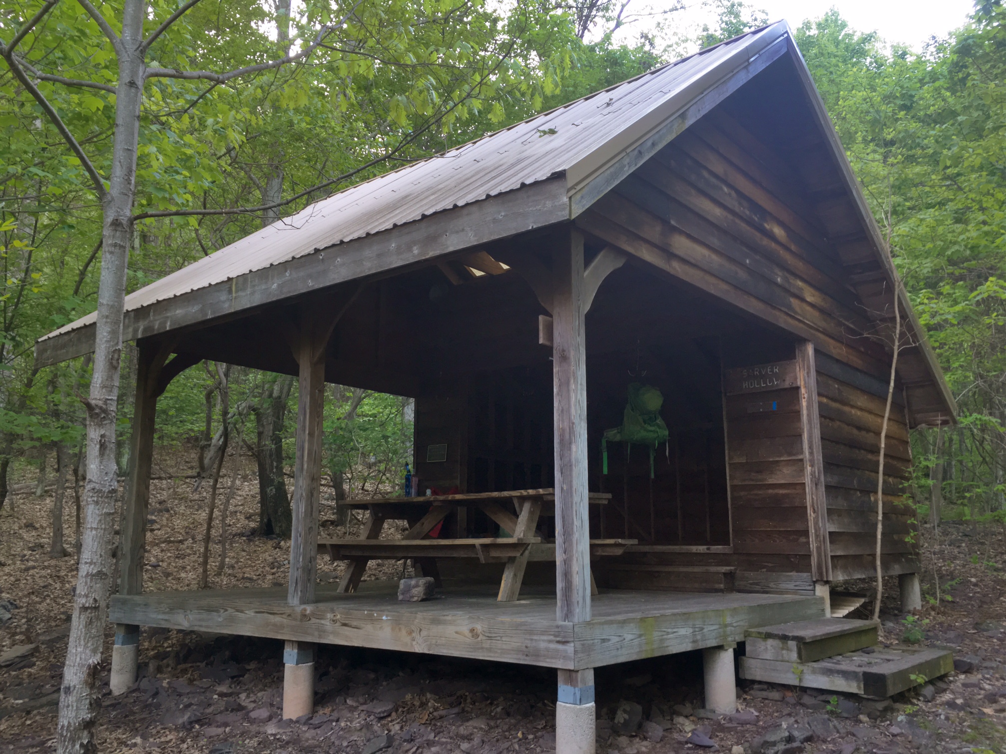
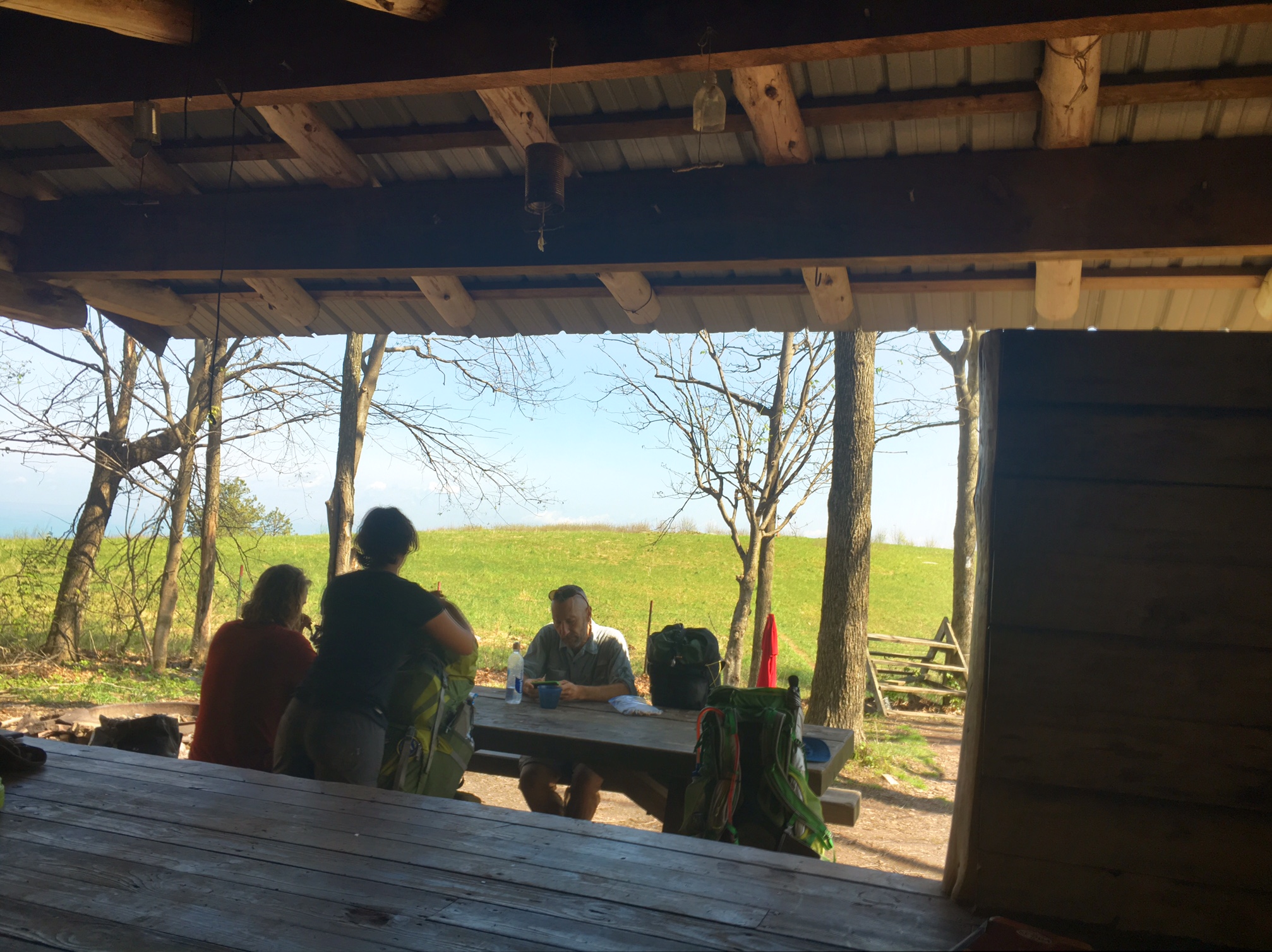
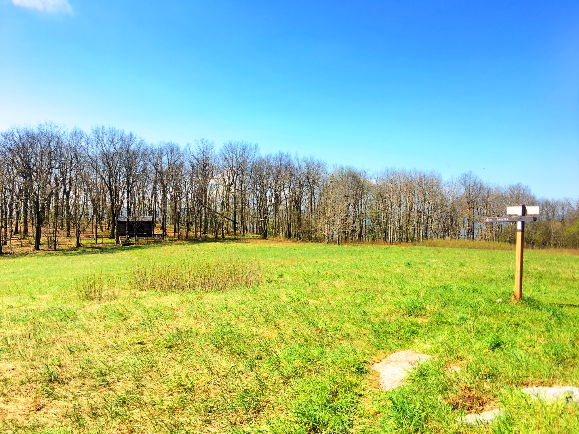
One of the best settings for a shelter I’ve seen so far!
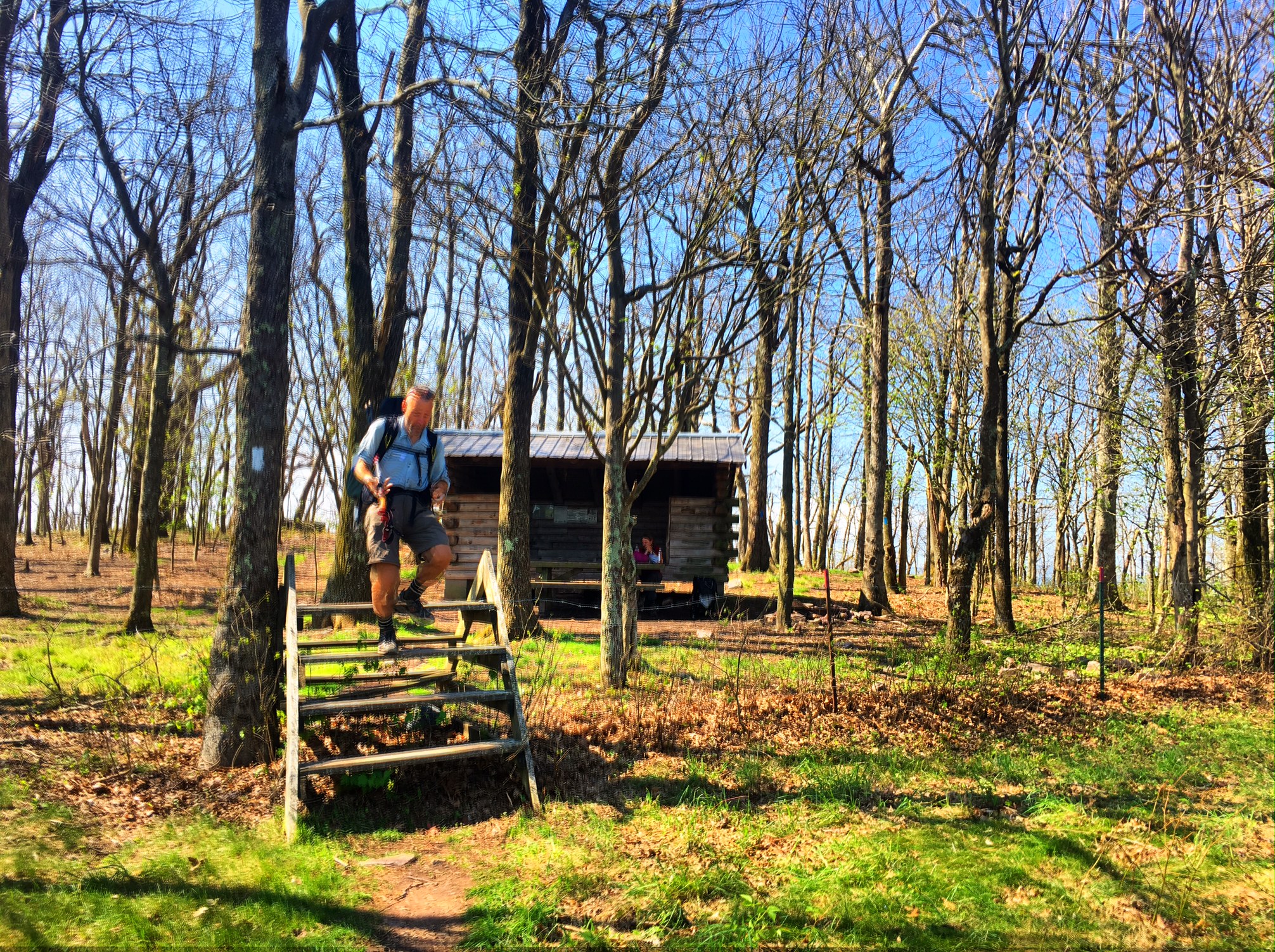
We haven’t officially entered West Virginia (~400 more miles), but we hiked along the border much of the morning.

The view from the ridge looking into West Virginia

Some brief Rain showers came in the late afternoon. This is the bridge over Stoney Creek

LK sporting his poncho and Quasi-Moto look.

We saw a lot of folks slack packing southbound today as people are getting ready to head to Damascus for trail days (along with 25,000 others). The benefit to this is that there was only one other person at the shelter tonight 🙂 Time for bed…good night!