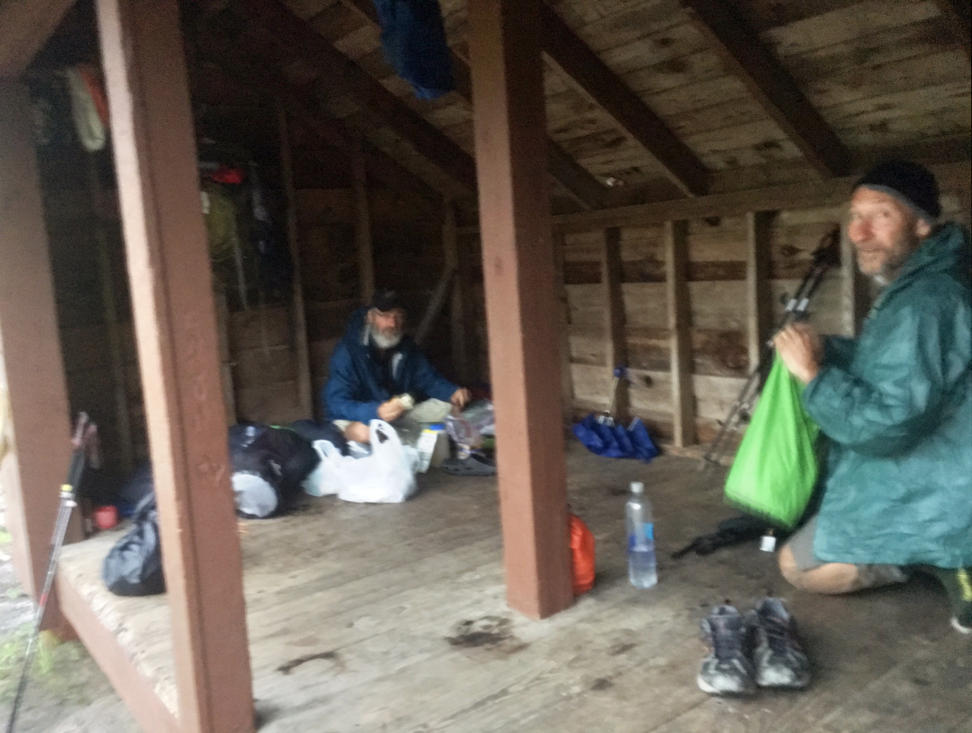
Packing up after a rainy night taking cover under the Bailey Gap shelter. The shelter was surprisingly empty…most hikers are off trail in Damascus for Trail Days. It should be pretty quiet out here until Monday.
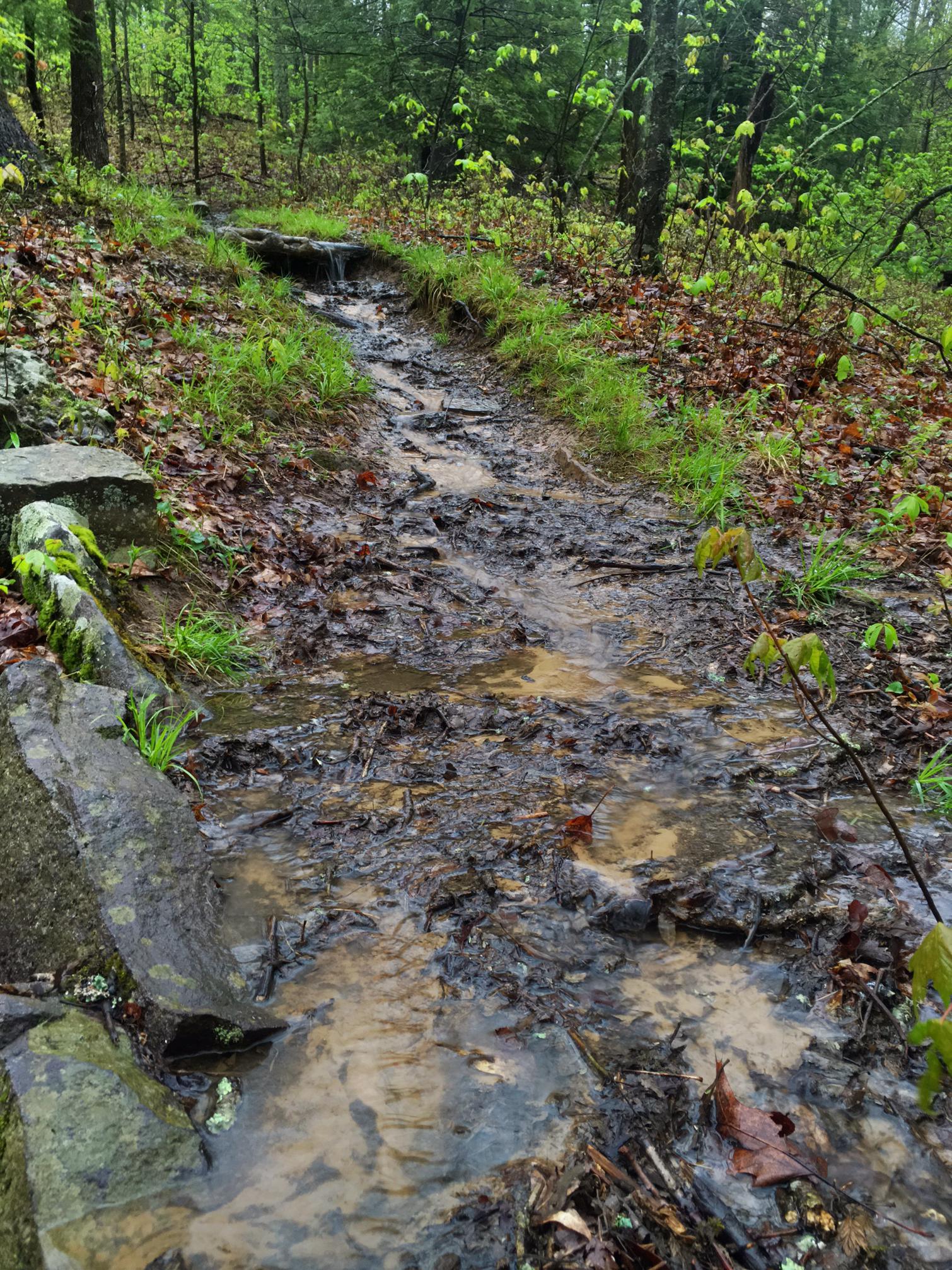
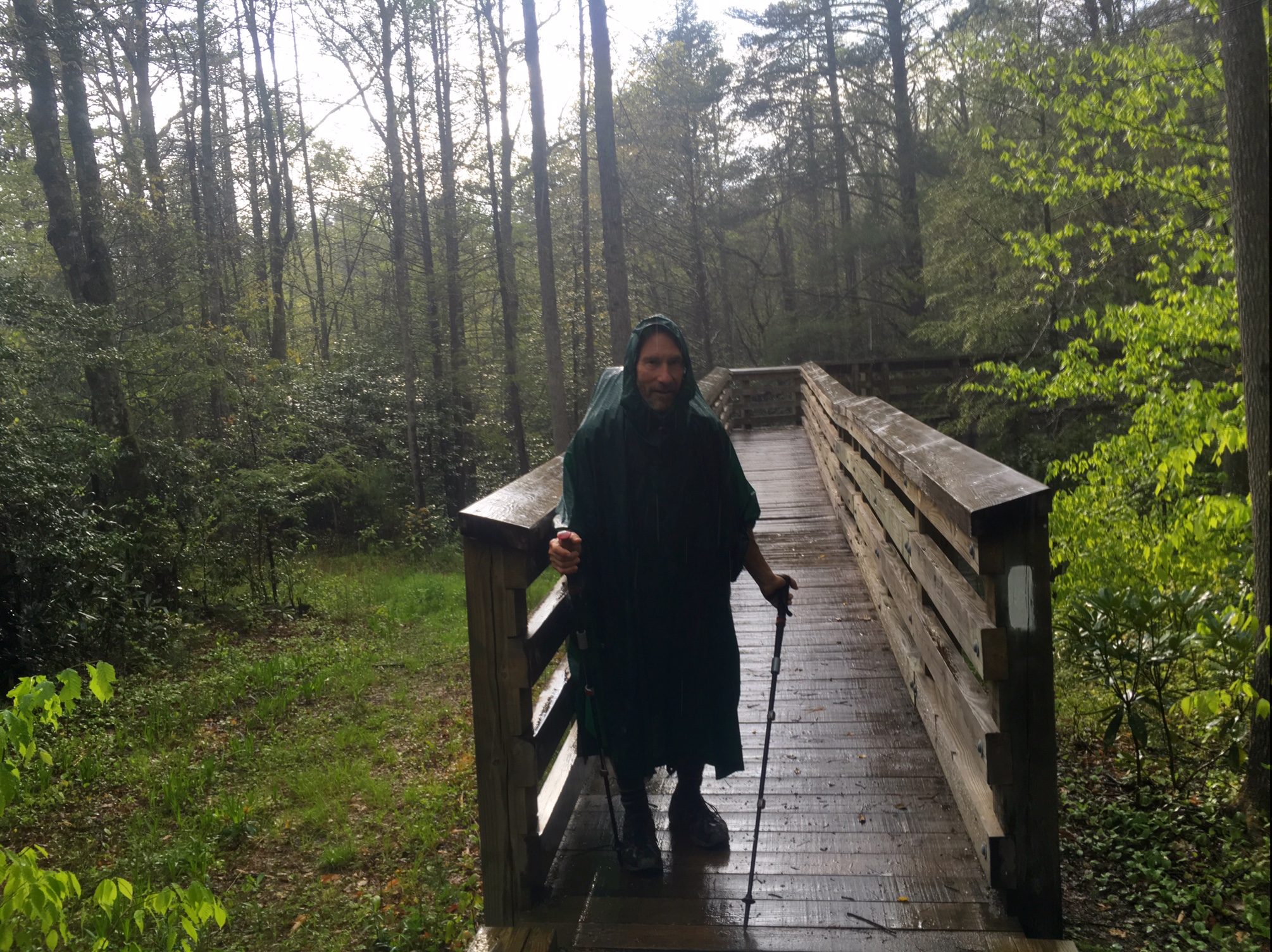
All the rain last night turned the trail into a muddy river…the first couple miles were especially slick with lots of moss covered rocks.

Up in the clouds and fog this morning…
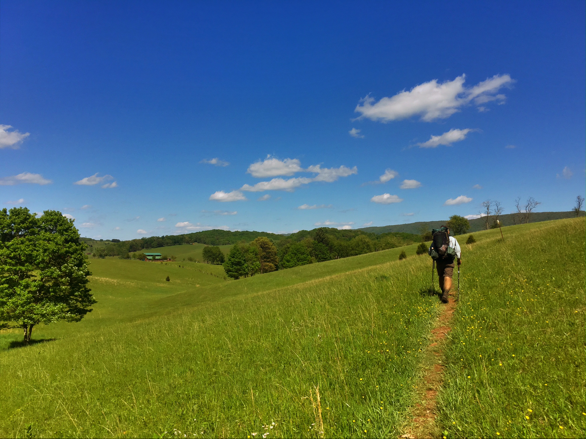
but by the afternoon it was a beautiful day.
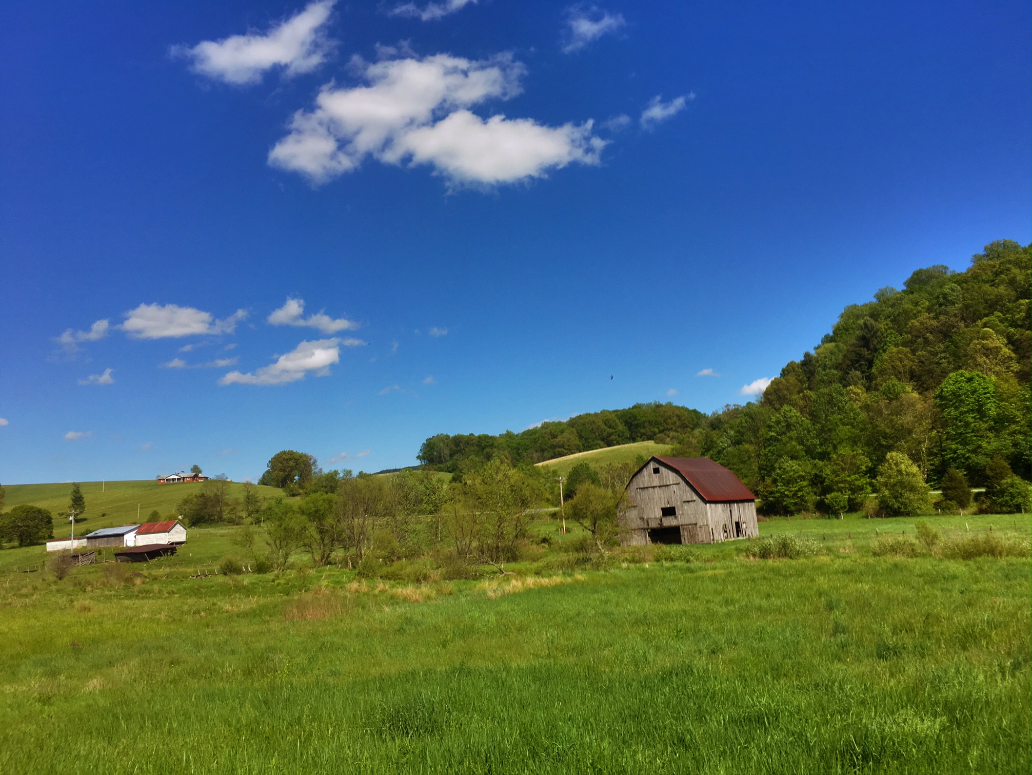
Walking through the Virginia farmland is a nice way to change up the day.
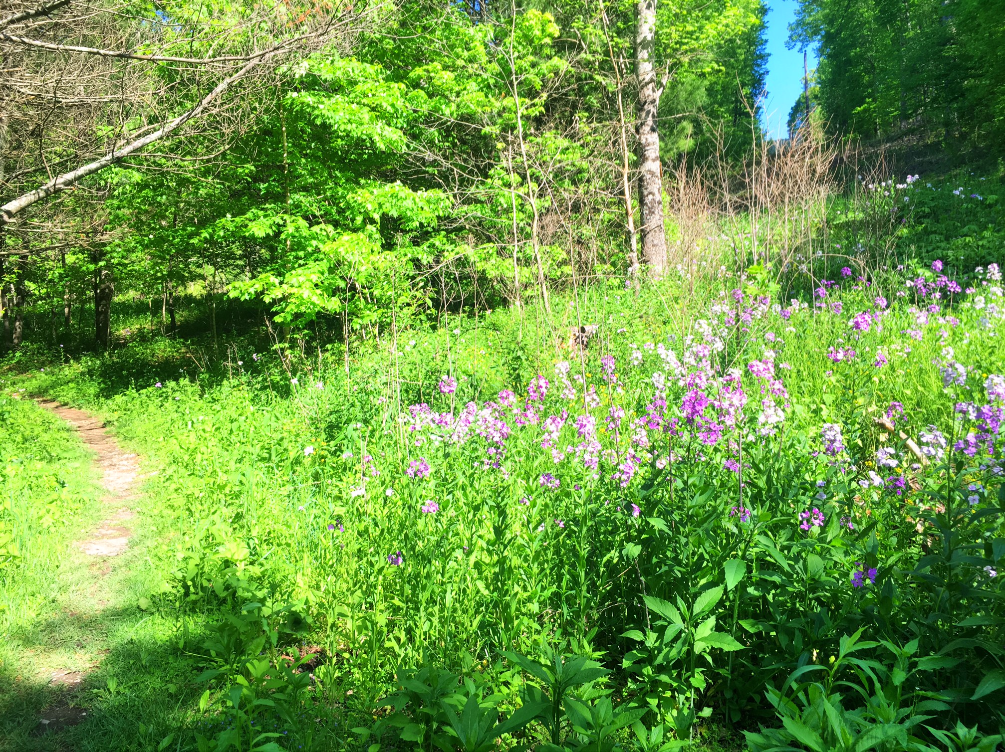
Wildflowers are starting to bloom.
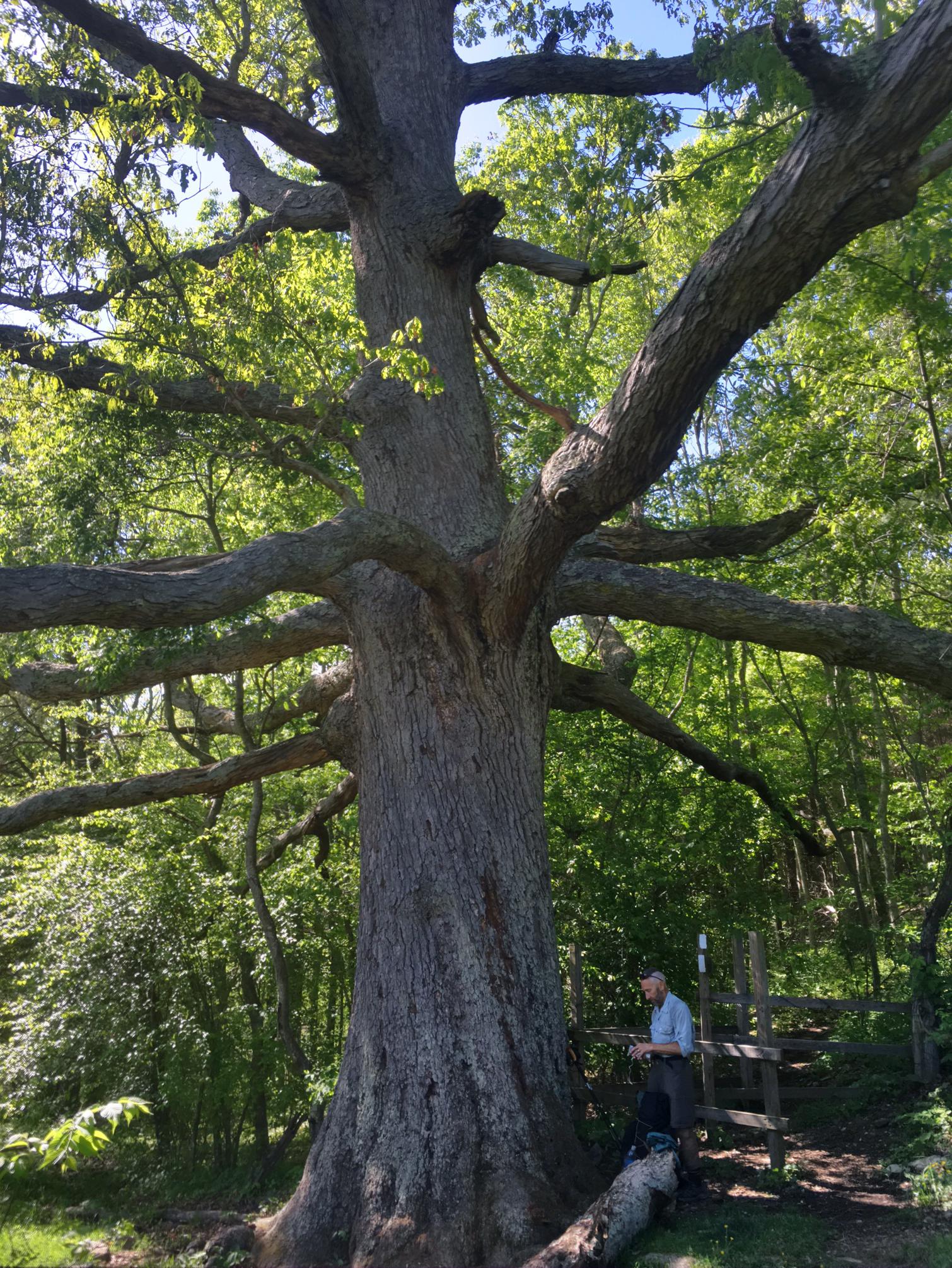
The Keefer Oak is the oldest oak on the AT, and it’s huge!
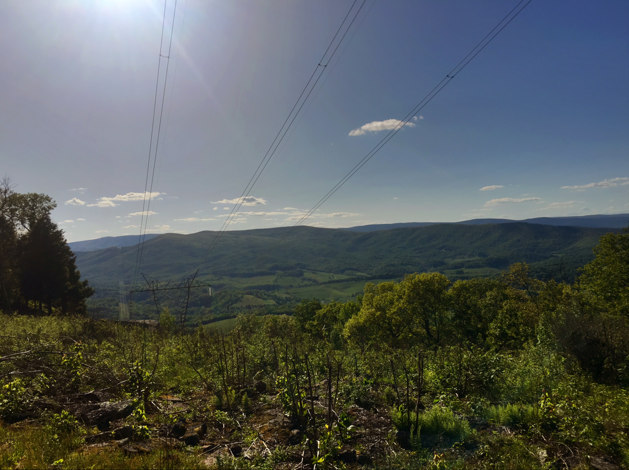
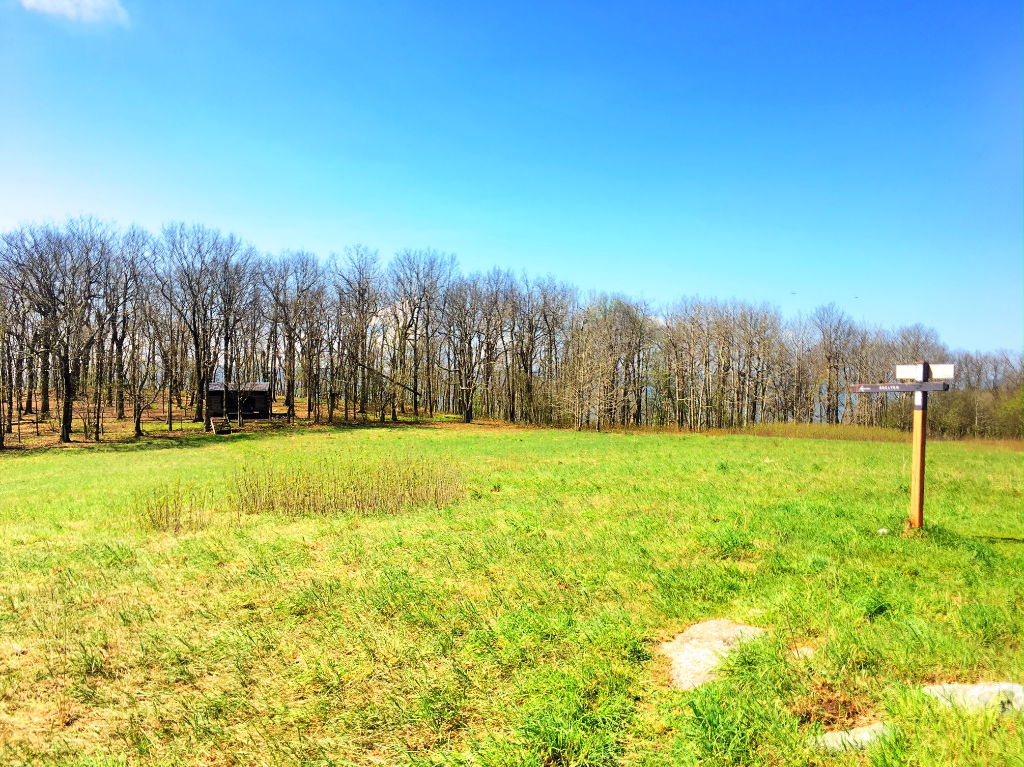
A stiff climb at the end of a long day got us up onto the ridge with great views back toward the farmland.
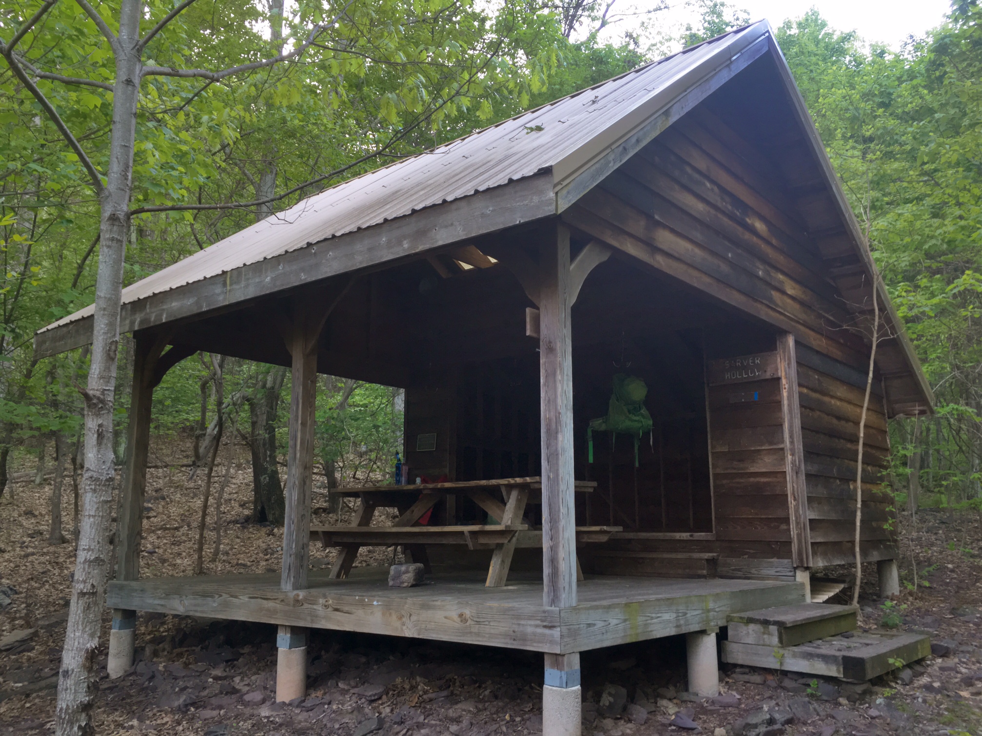
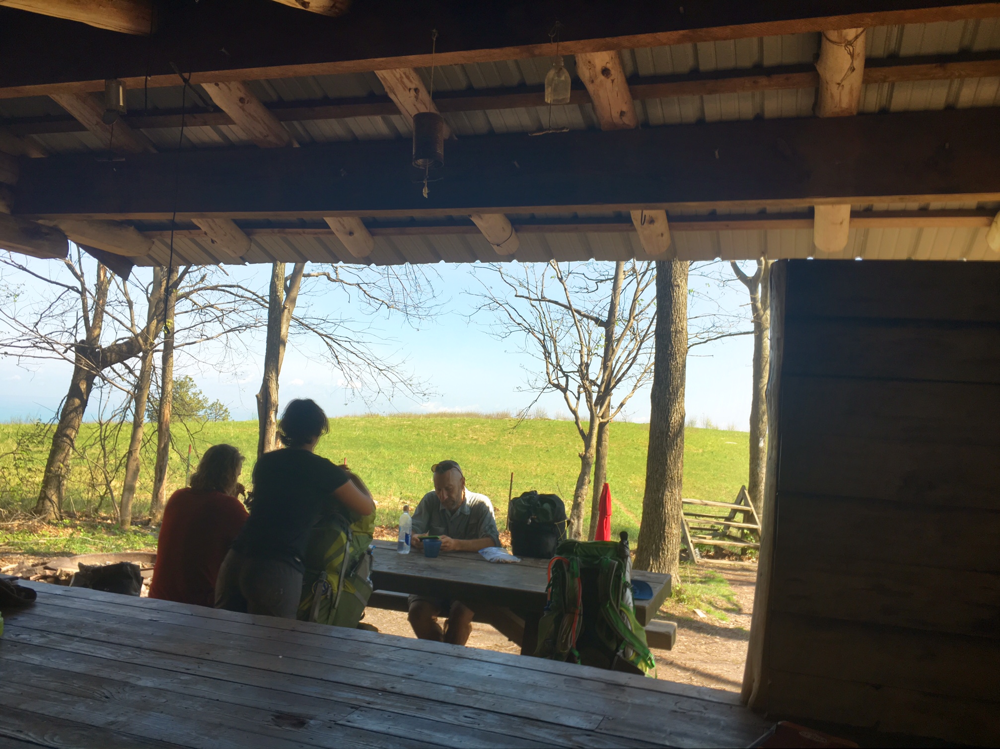
Home for the night is the Sarver Hollow shelter. Only two other folks showed up (trail days effect plus it’s 1/2 mile off trail down a steep hill).


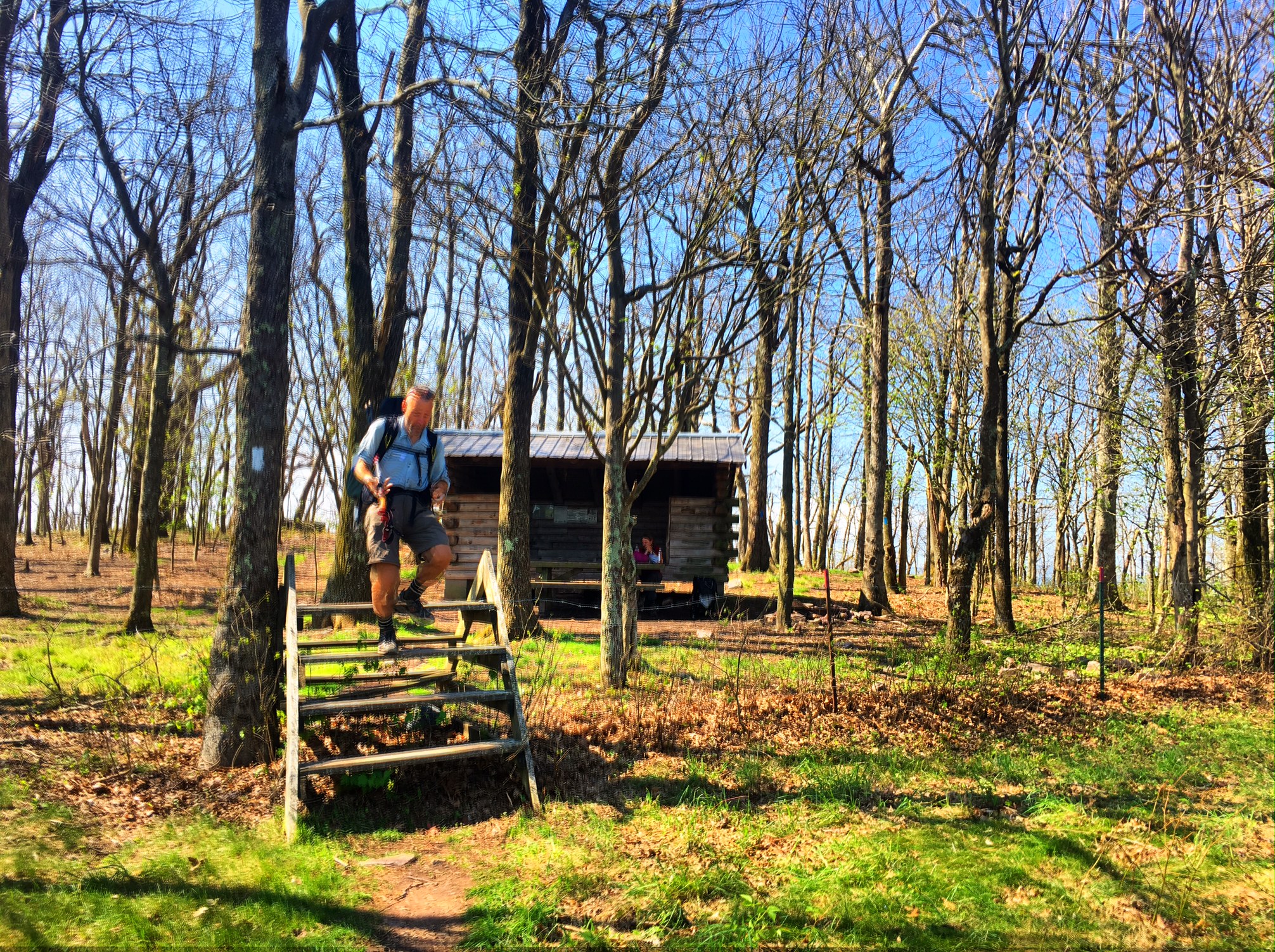
 One of the best settings for a shelter I’ve seen so far!