Day 36, 6/8, Bishop, CA, M-788, 0mi

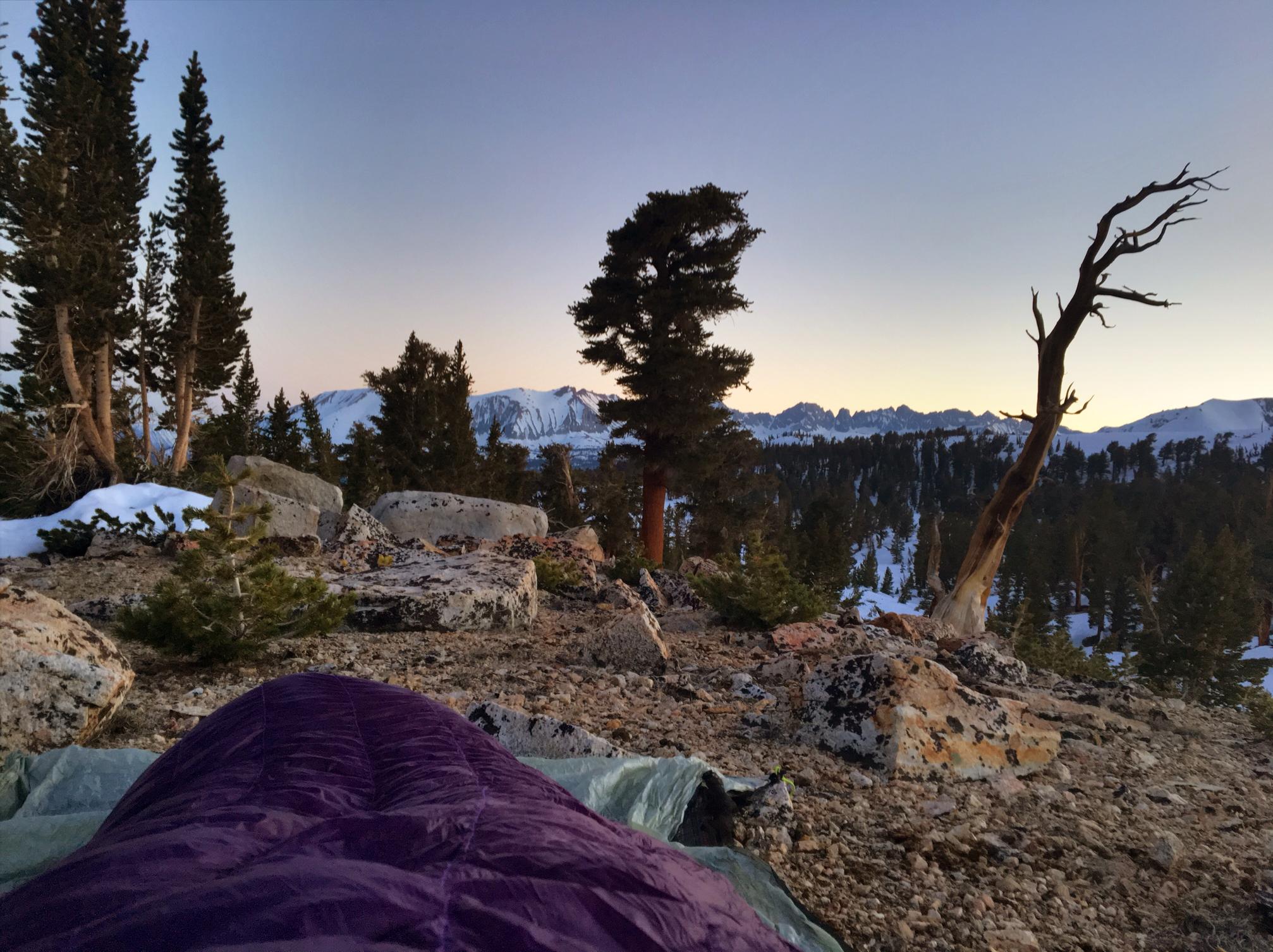
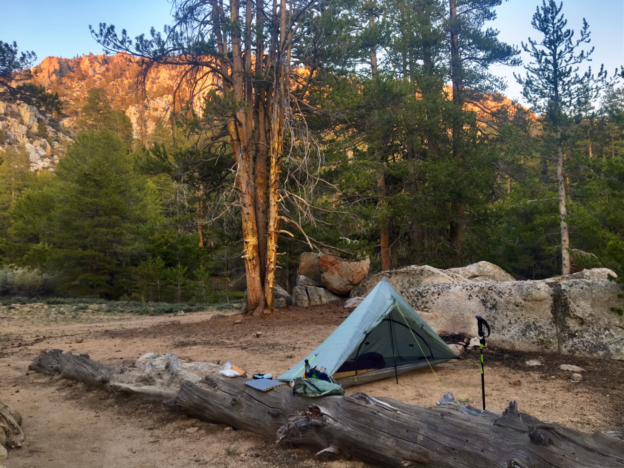
Today marked the beginning of my 6th week on trail, and almost as importantly, my first ZERO day… Hiker speak for zero miles hiked!

I spent most of the day organizing gear and coordinating logistics which I will get into later.

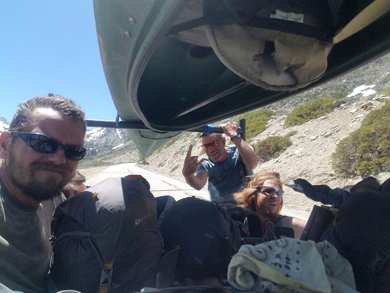
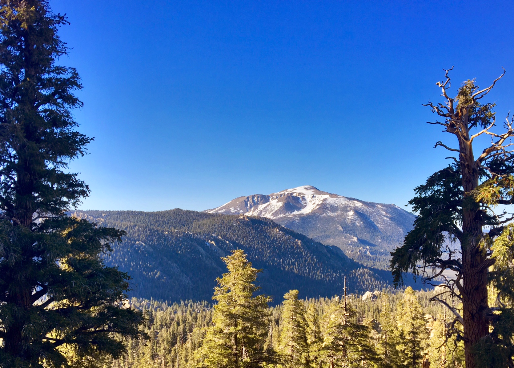
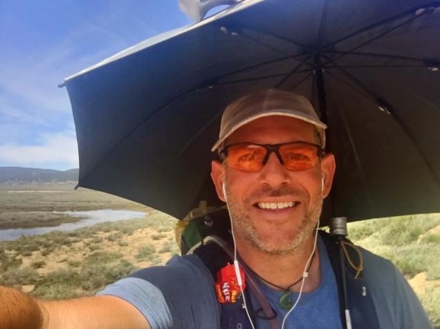
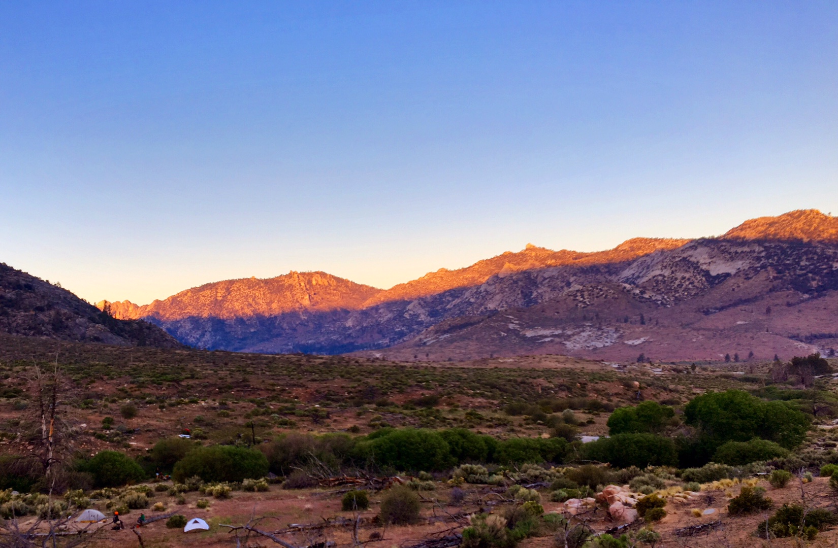
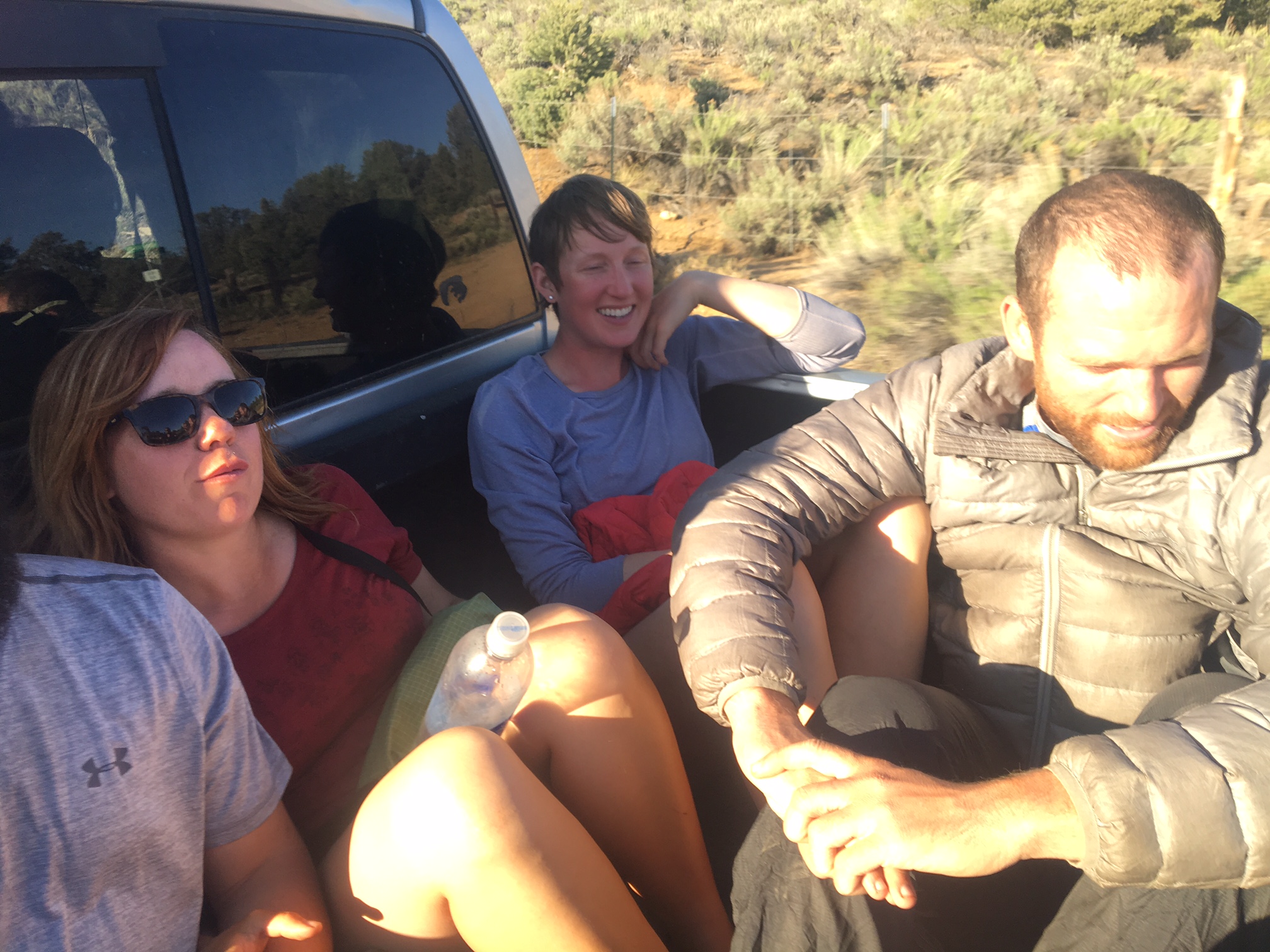
As many hikers do in this area, I hitched 40 mikes up the road to the much bigger town of Bishop. This is Brett showing us how it’s done with the High Sierra behind us. We got a ride pretty quickly from a lady who was driving from San Diego to Tahoe. I didn’t even have to ride in the back of an open pick up truck…front seat of a Prius!
0

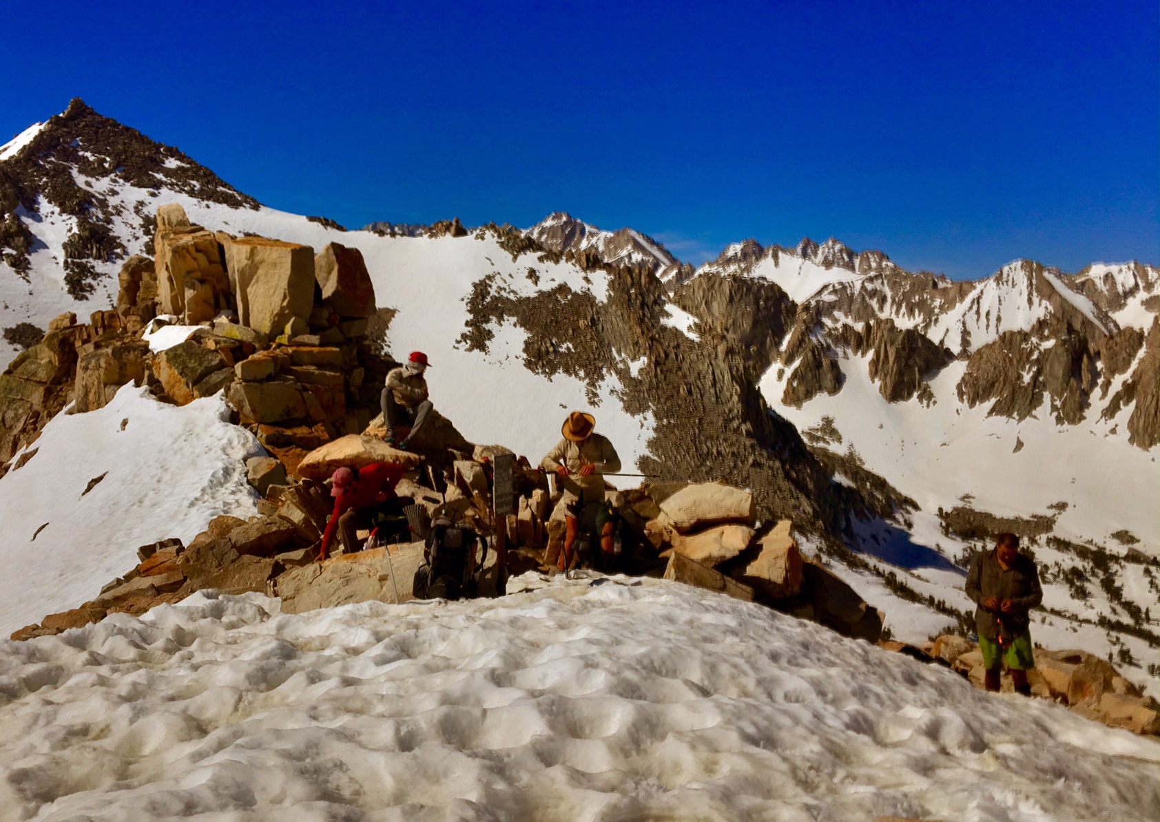
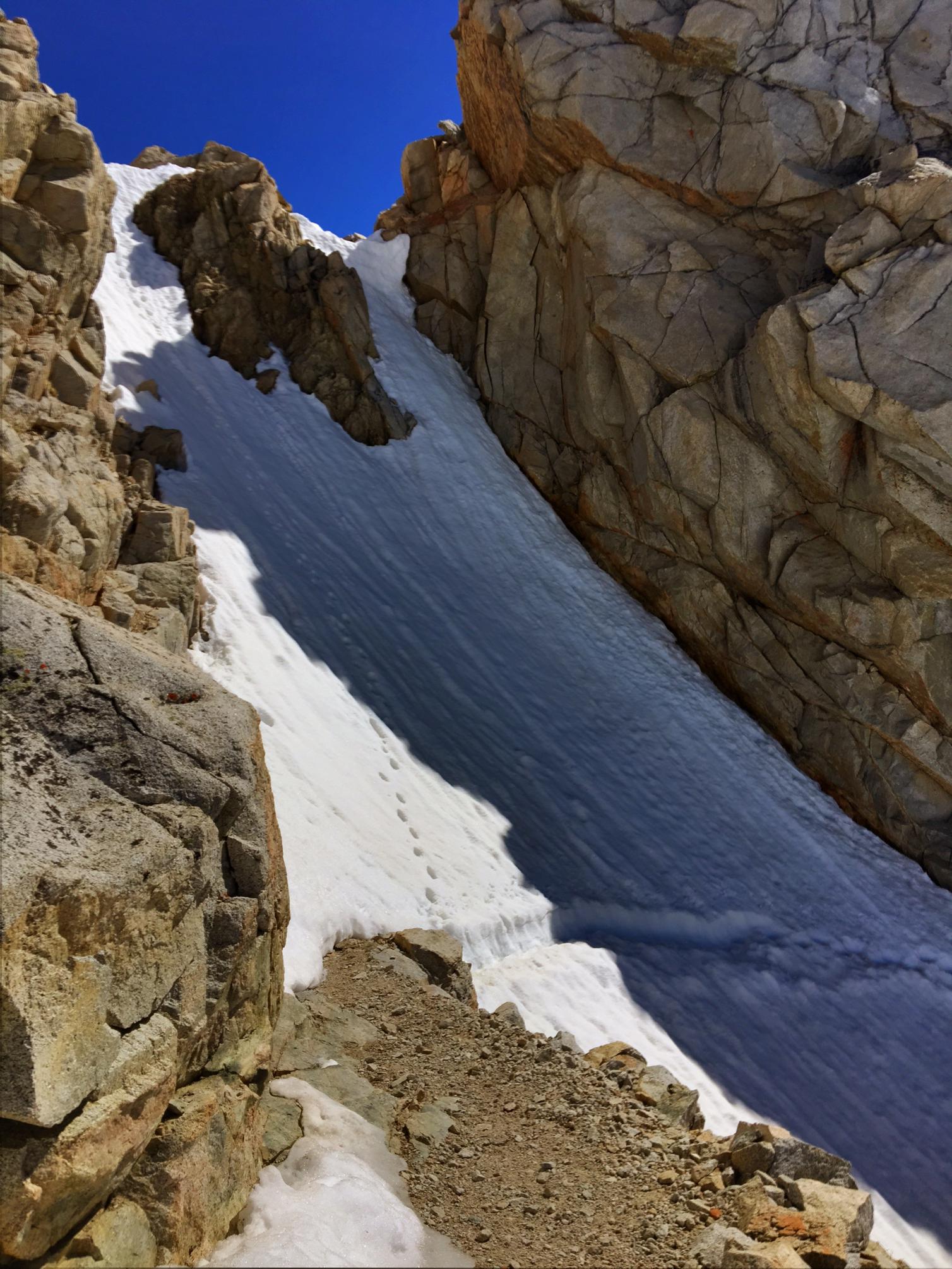
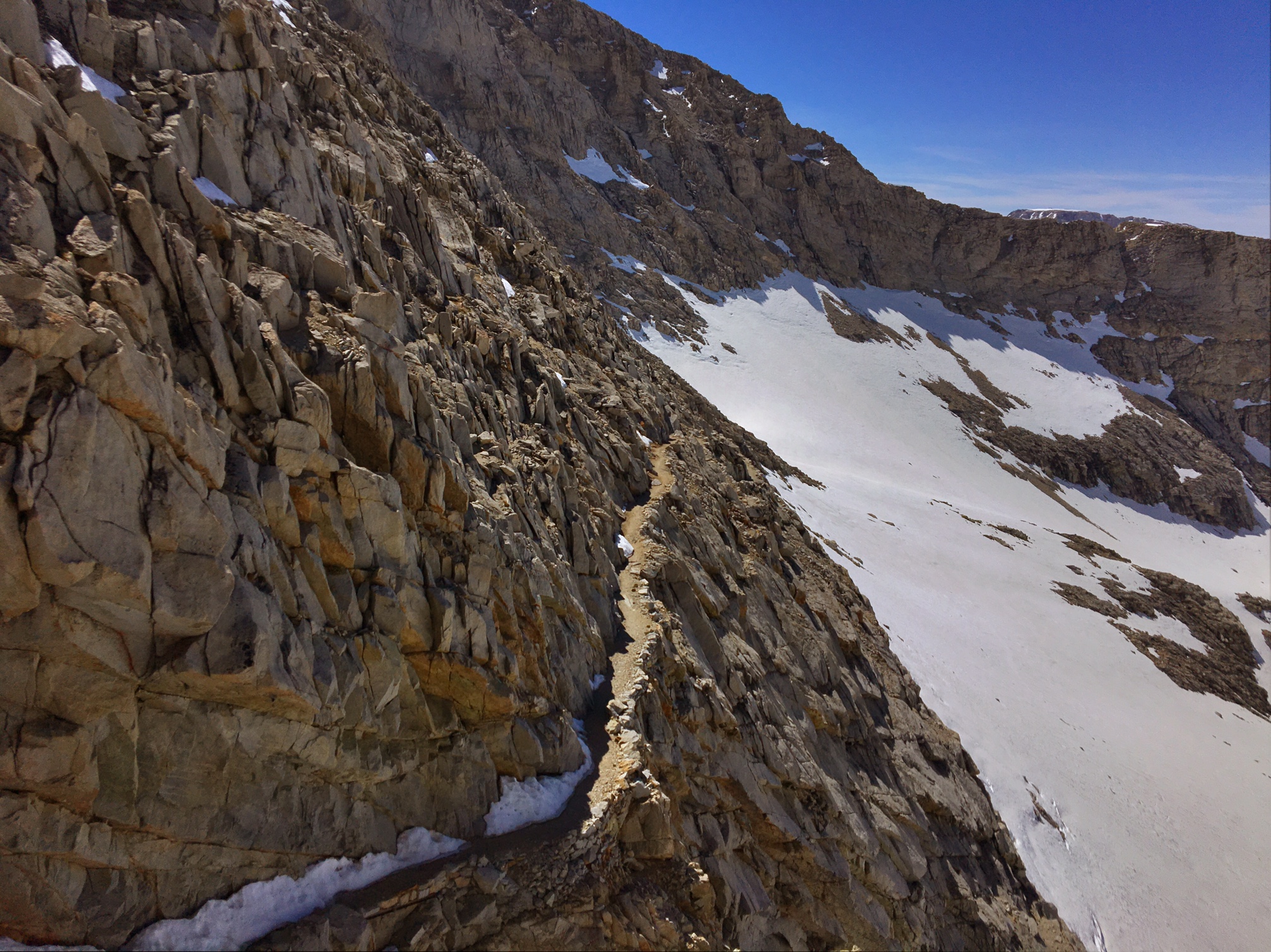
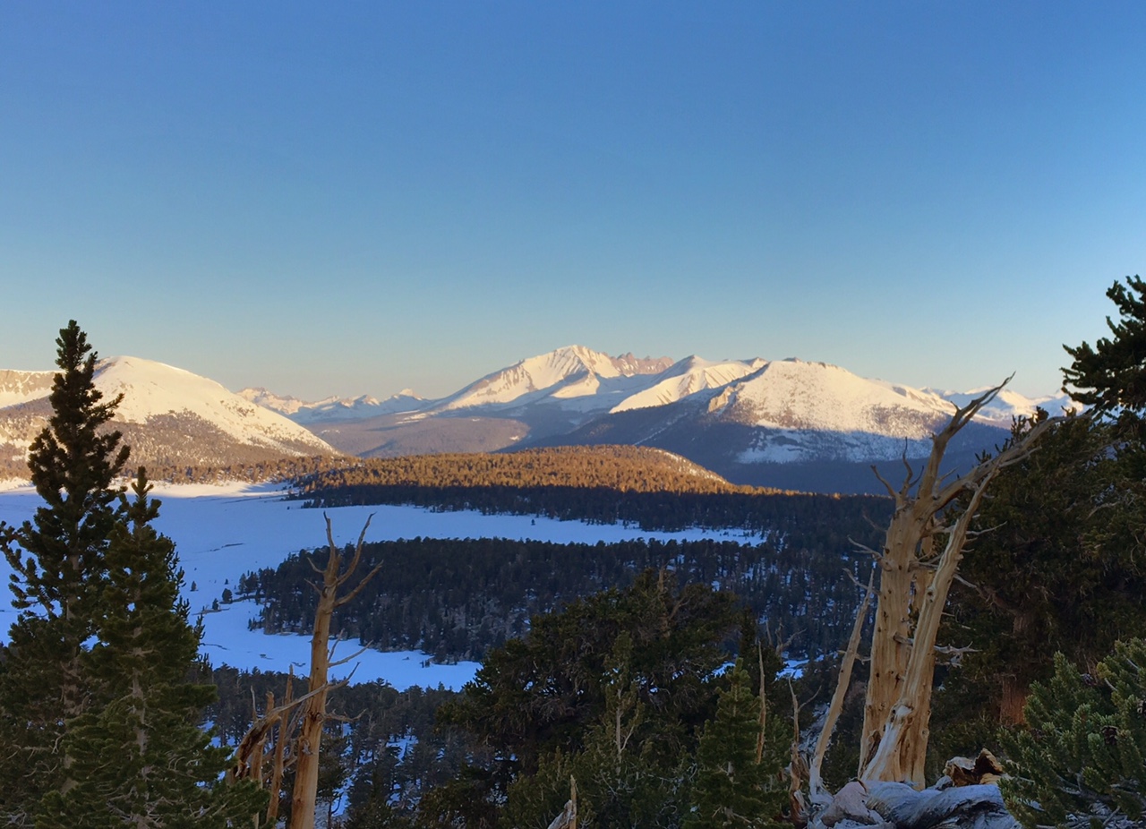
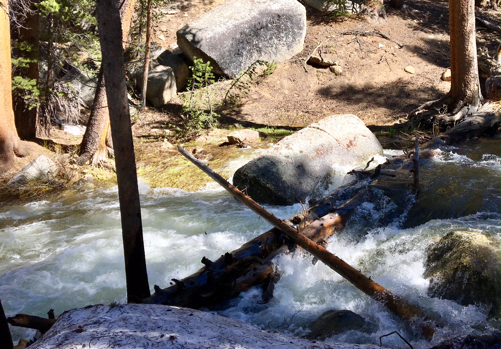
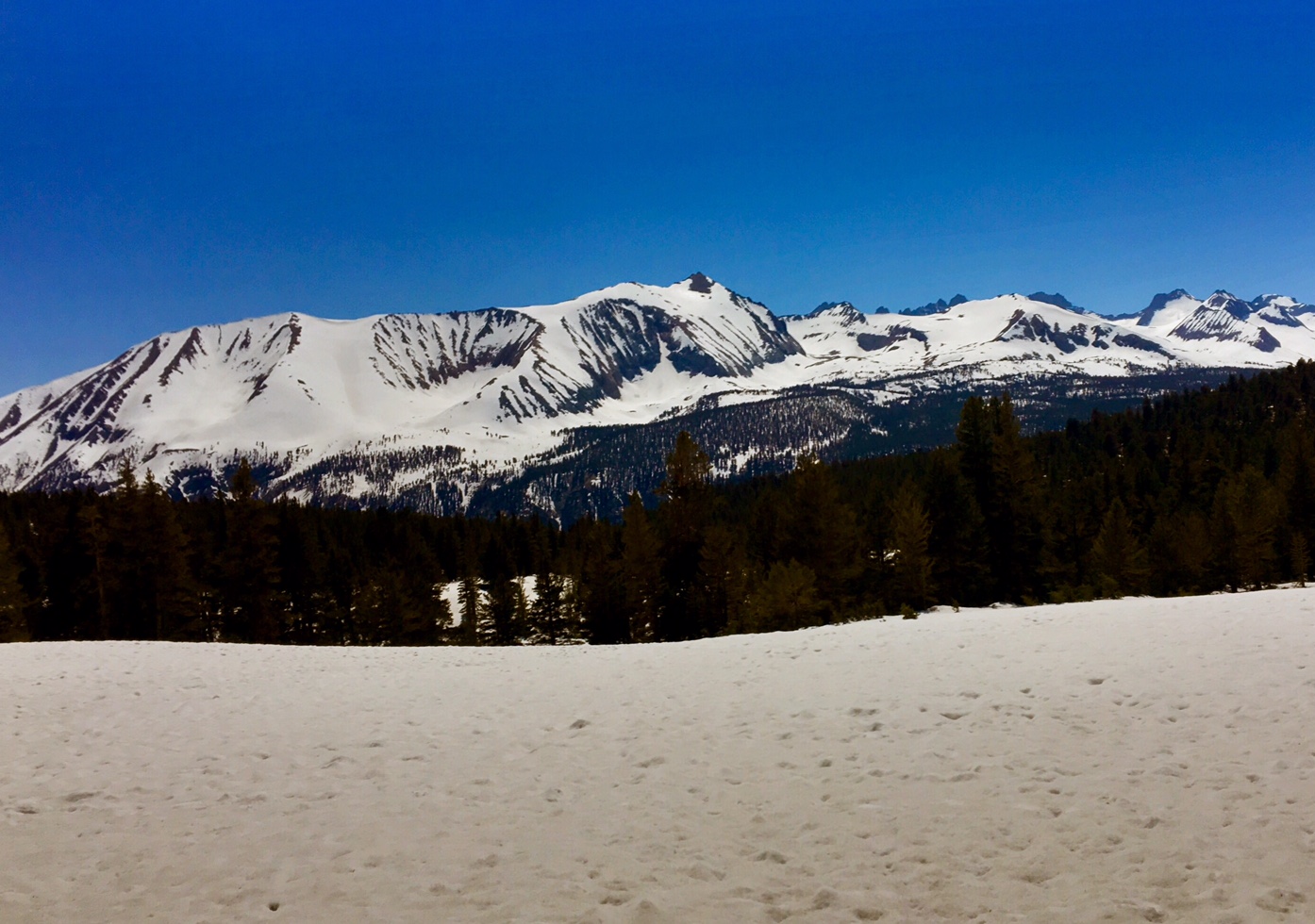
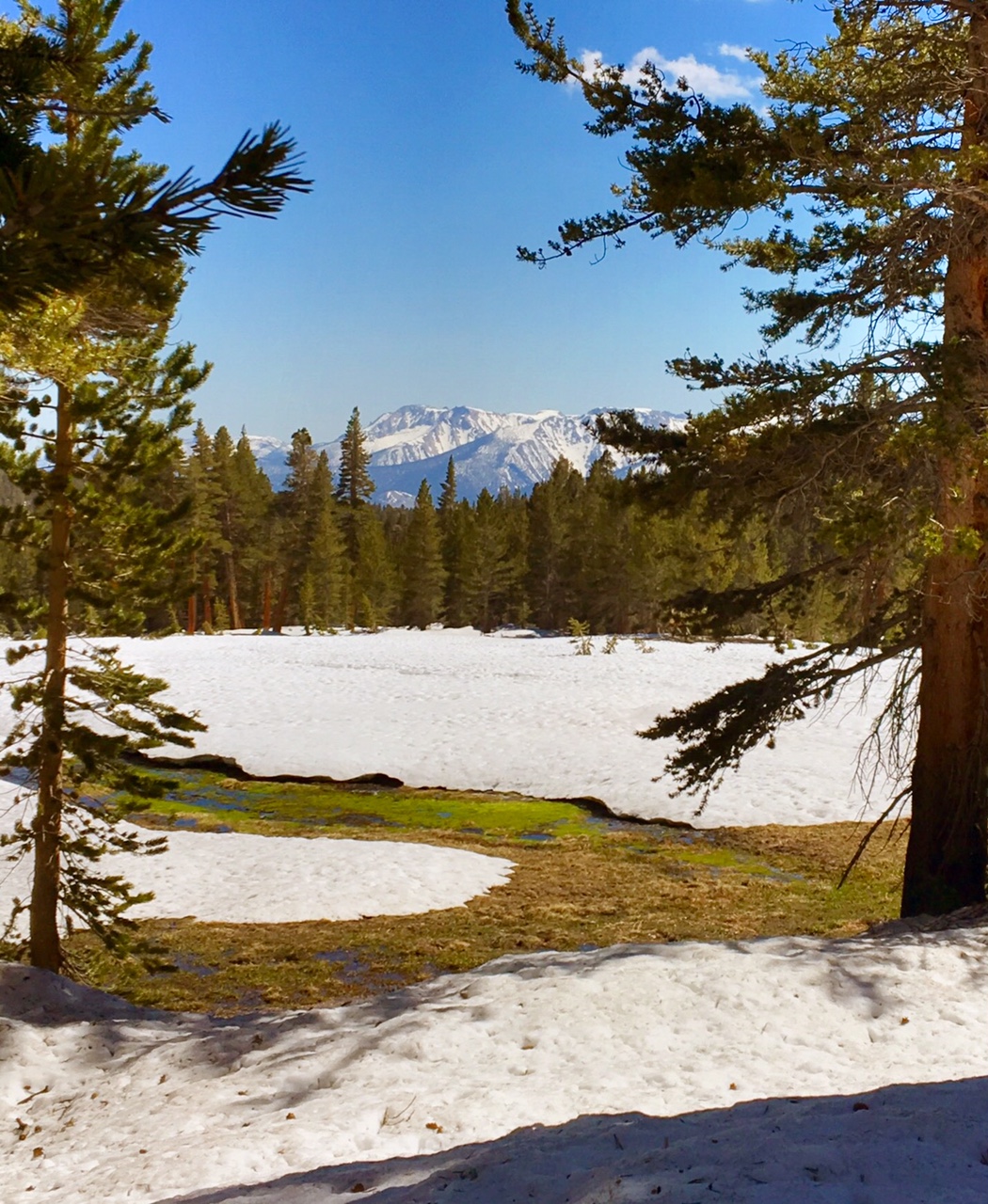
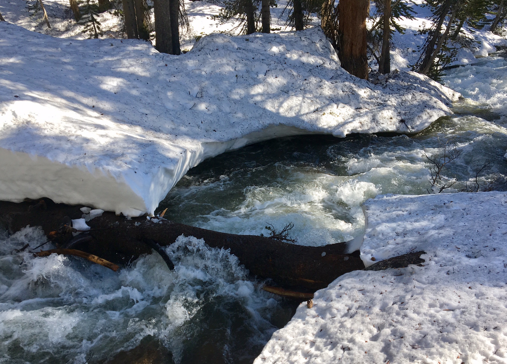
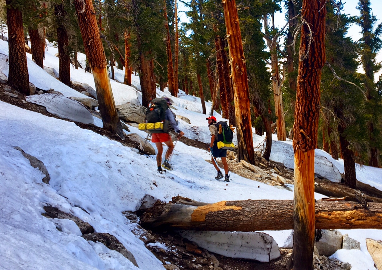
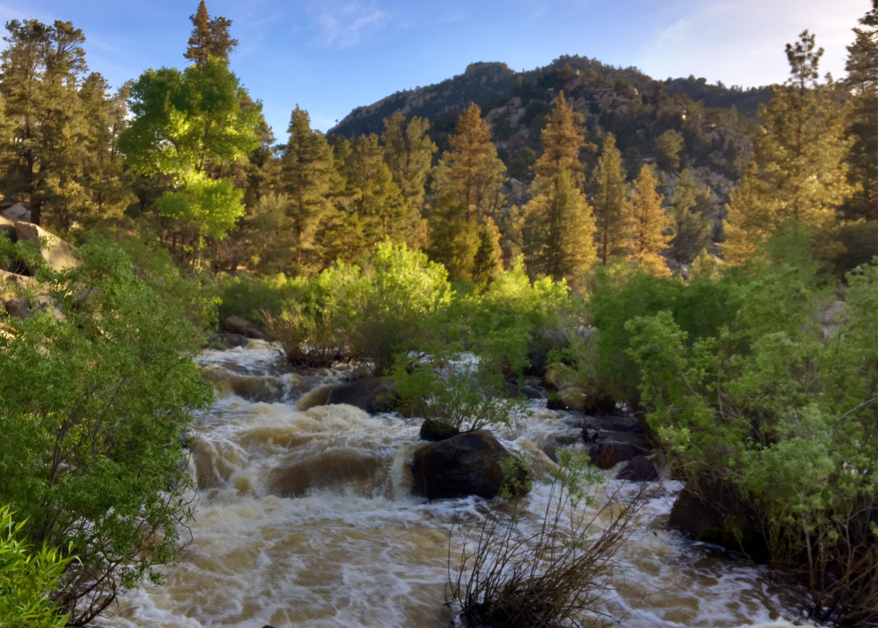
After spending the last day and a half assessing trail conditions ahead and the potential risks of the upcoming sections I made the only rational decision I could realistically make…skip ahead so as to not get in a position where I have to choose between fording a creek that shouldn’t be crossed or backtracking 40+ miles off a side trail to town. There have been some harrowing accounts posted on Facebook recently (https://www.facebook.com/marcus.mazzaferri/posts/10209213010268845). The situation out there becomes very binary, as in everything is good until, it’s not!

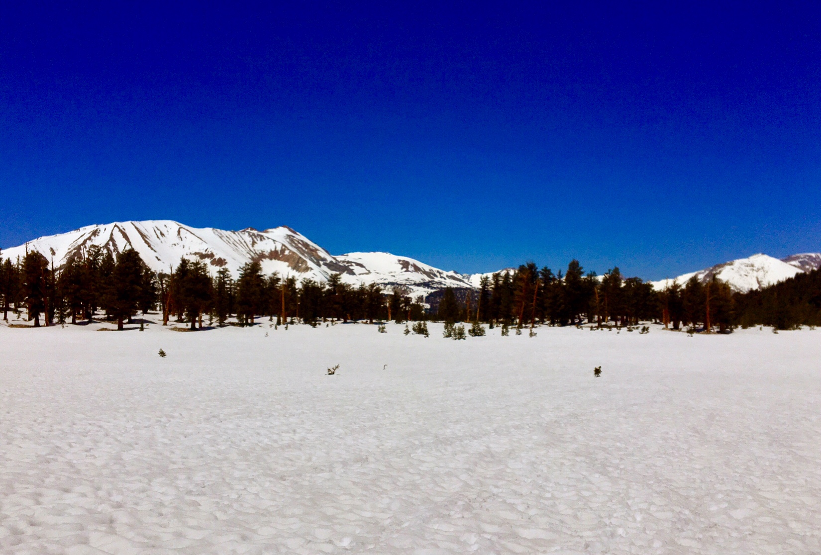
After that decision was made I had to figure out where to go. Snow will not be avoided this year (not my reason for skipping sections either) but I will be able to minimize some of the biggest risks. The final decision is to go to Chester, CA (~Mile 1325) which is 8 miles from the trail and near Lassen Volcanic Park. From there I will hike North to Canada and then I will figure out how to get back to Chester and hike South through the Sierra finishing at Kearsarge Pass, where I left the trail yesterday.

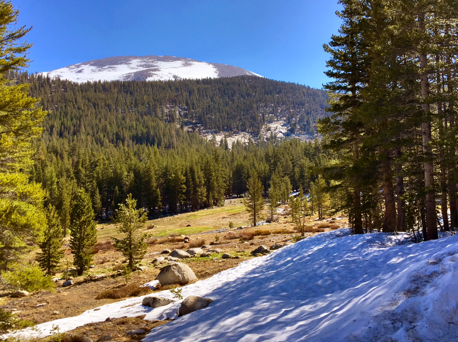
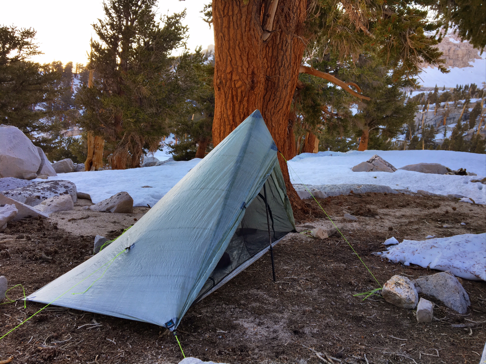
Then there is the matter of figuring out where to leave gear (bear canisters, ice axes, etc) and decide whether micro-spikes are needed (yes).
Then figure out new locations to send resupply boxes to. Lastly, there was the matter of coordinating the timing of three shuttles to get me 350+ miles north.

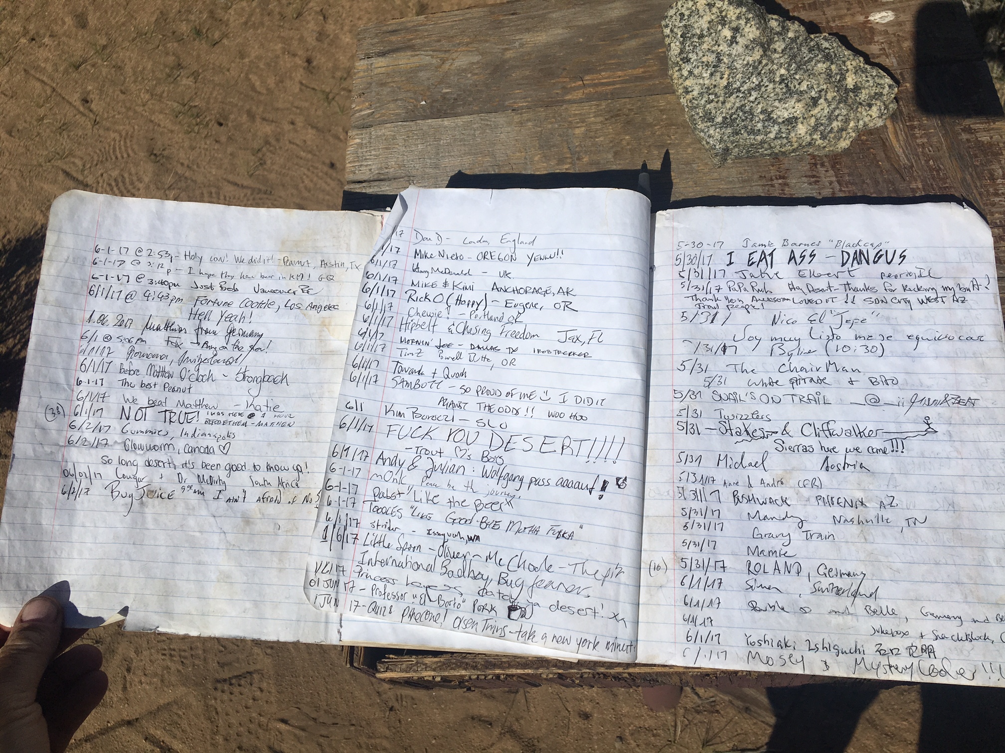
The other good news is that Loco and Bronco made it out of the mountains today and were in high spirits after showers, laundry, food and drink.
1

They also had a difficult journey over their last 5 days and were torn as to what to do moving forward, but ultimately liked the fact I had figured everything out and were on board with jumping north tomorrow. So at least I will have some company on the 12 hours of travel to Chester.

Day 35, 6/7, Independence, CA, M-788, 9mi

Today’s miles were mostly off trail to get over Kearsarge Pass and get to the town of Independece, CA to resupply.

I ran into these guys just as I headed out of camp, all who have hiked the AT in the last 2yrs. I even met one of them last year at the Woodshole Farm! They are getting their AM coffee fix at Bullfrog Lake.

B-Rad hikes with his service dog Lola.

A morning of snowfields.

Several hiker-specks making the final ascent.

A break at the top of the Pass to gear up for the glissade down. (A link to the VIDEO).

Here we are 2500′ below the odd at the Onion Valley trailhead hoping to find a ride 15 miles down the mountain into town.

One way to find shade…these boxes are used by day hikers so bears don’t break into their cars trying to steal food.

After three hours one of the four vehicles in the lot was finally leaving. We fit 8 hikers and packs into the Toyota Tacoma.

I hung on for dear life 🙂
I woke up this AM to maybe 30 degrees and snow everywhere. By 2pm I was in town where it’s 98 degrees…just can’t win 😉

Day 34, 6/6, Vidette Meadow, M-787, 15mi

This was the view at my 5:15am departure.
Unfortunately, all I could think of was how was the dread of crossing Tyndall creek in 2 miles, a rather large fast moving creek 5 miles before the 13,000′ Forrester Pass.

After wandering a 1/2 mile upstream I couldn’t have been happier to find this isthmus of snow to get me across safely and dry!

Can you figure out how we will get over the 13,000′ Forrester Pass headwall? Answer below.

Here’s a clue…

And another… (at least someone had cut in a footpath through the snow!)

This was the approach (after climbing the vertical snowfield). The trail here is a true feat of engineering.

Made it to the highest point on the PCT 🙂

The view from where I came up from.
The view on the way down.

This is what navigating through the woods looks like…

..or this.
Luckily GPS helps immensely but it doesn’t account for the giant berms of snow or trees piled up like pick-up-sticks from avalanches.

Then there’s postholing up to your crotch (no pic), or navigating fields of sun cups (these are 5-10″ deep).

The end of a long day got me to Vidette Meadow in Kings Canyon NP. The first dry land I’d seen all day…although most of it was mushy ground.

I found one good dry spot at the receding snow line between creeklets and some more mush. And surprisingly, there were no mosquitos.

Forrester Pass

A full day on trail and I saw zero people until 1/4 mile from camp…kind of crazy!

Day 33, 6/5, Bighorn Plateau, M-773, 20mi

It was a cold morning…camping at 11,000′ has that effect. The reward were some great views.

Starting to see more and more snow on trail. A function of elevation and aspect (to the sun).

Sketchy creek crossing #1 today. I still had my micro-spikes on from the snowy descent which made the slippery log much less of a concern.

Pretty soon it was basically all snow.

One of the few, non-frozen lakes.

Sketchy log crossing #2. Although, I used a less sketchy log to cross on.

Normally, this would be a big meadow… according to the guidebook.

Nothing more to add.

Sketchy log crossing #3. I was thankful to find this log a 1/4 mile downstream. I did not take a picture of the wet-crossing I made a mile before this. Luckily, the sun was out and there were some warm rocks to lay out on. These aren’t even the big crossings yet :-/

Mt. Whitney is in the very back… steep left side and shallow slope on right side.

After a long day of slogging through the snow, constant navigation to stay on course, four stream crossings, I then had to find a snow free place to camp…not so easy. This small outcropping at 11,400′ would have to do. Not even a big enough flat area for my tent….

But just big enough for my sleeping bag and pad.

Day 32, 6/4, Cirque Peak, M-753, 22mi

The day started out normal enough. Dry sandy trail, some big pines and interesting rock formations….

Some snow capped peaks in the immediate vicinity.

There was a great view of the Owens Valley…,

and the occasional snow field.

Then a bit more…

Then a lot more!

The 2nd half of the day was mostly snow. No postholing luckily, but a lot of slippin and slidin’ even with my micro-spikes. The sun had warmed up the snow pretty good and was slushy on top making for cold-wet feet.

It was challenging to find a dry camp spot…my tent is basically surround by snow. I was exhausted by 7pm and wasn’t going to be too picky.

I did have a good sunset from my tent 🙂

Day 31, 6/3, Death Canyon Crk, M-731, 27mi

For the next ~250 miles the trail will not cross a road (dirt, paved or otherwise). Resupplies will require hiking off trail to get to roads and then hitching into a town. The first of which requires a 15mi roundtrip hike with a 3700′ of elevation change and then a 15mi hitch.

The scenery has made a dramatic change over the last 20 miles. Hopefully, these pics capture some of that.

The Kern River is running strong…luckily, no fords today. The water is freezing. I stick my feet in at lunch to clean them off and I could last about 15 seconds per foot.

Desert wildflowers with Sierra granite domes on the horizon.

Rivers and meadows…the first we’ve seen so far.

The sun was still warm as we climbed from 6000′ to 10,700′ so the umbrella is still welcome.

Plenty of snow over 10,000′. These guys are from Israel and snow is a new experience.

The spectacular Gomez Meadow….but the Mosquitoes were fierce!

Home for the night at Death Canyon Creek. I’ll need to check on the story behind the name.

The first extended time in snow went fairly well.
Navigation is made easier with my PCT-GPS phone App. And most of the snow was on the downhill side so boot skiing was kind of fun.

Day 30, 6/2, Kennedy Meadows, M-705, 12mi

Out of the desert…almost.
Today we made it to Kennedy Meadows marking the entrance into the High Sierras. KM isn’t much… a partially stocked general store that runs on generators with porta-johns, and a dusty lot to camp on. Regardless, it is the first civilization in 140 miles and the last for the next 250 (without hiking a ways off trail and hitching). It is also the location everyone sends their ice axes, crampons, bear canisters (required) and Warner clothes for the extended miles above 10,000′. Needless to say it’s been a focal point for evwryine since we left Mexico.

Waiting for the sun to slowly chase the shadow across the valley and warm me up this AM.

This is quintessential Sierra granite domes…the first we’ve seen of this.

The Kern river is a major drainage of of Mt. Whitney and the first major river we’ve seen.

Welcome to the 700 club!

This is 2+ days worth of names who signed one of the random trail registers we come across at road crossings. There must be over 60 names (25/day?).

The infamous Kennedy Meadows General Store. There is a classic scene in the movie Wild when Cheryl arrives and everyone gives her a big cheer.
I got a big cheer when I arrived at 9:15 this morning…I think the beer started flowing at 9:00.

I spent most of the day organizing gear, eating, drinking, socializing and relaxing. Here’s Bronco showing off his tan with many hikers hanging out and taking over the patio.

This is a kitten that a hiker adopted along the way…doesn’t seem like the best idea but she seems to be doing fine (and weigh less than a roll of TP)

The only other thing nearby is a bar/grill called Grumpy Bears, about 3 miles away. Here are Bronco and Loco in the back of a pickup hitching a ride.

Text messaging, PCT style.

Day 29, 6/1, Manter Creek, M-694, 25mi

Some exciting milestones have recently been checked off the list… I have now completed 25% of the trail, and I am finally inside of 2000 miles to Canada. Although, that first Milestone sounds impressive the second still seems kind of daunting! How is that I’ve gone almost 700 miles yet still have 2000 to go? I just keep focused on the fact that this is just a series of 3-5 day backpacking trips.

There was a very distinct cloud layer we hiked through on our climb up to 7000′ this morning.

Pretty soon we were above them 🙂

I still can’t get enough of the desert flowers. Pretty soon they will be a distant memory will as it will all be buried in snow!

More giant (and lethal) pine cones with huge barbs. This is from a Gray Pine.

About 40 mikes to the north (on the horizon) you can see the snow covered Sierra Nevada range.
I could even make out Mt. Whitney (14,500′). The change in landscapes over the next several days couldn’t be more drastic.

I had a camping buddy tonight next to the creek.

A sunset over the Domeland Wilderness Area.

Day 28, 5/31, Spanish Creek, M-669, 25mi

It was a bit cooler today with some cloud cover.
These are the last couple days of high desert before we get to the Sierras and we go from sand to snow.

This is “Just Bob” from Vancouver, BC. He’s 66 and motors, throwing down some big miles. Here he’s demonstrating how he checks both his Verizon and ATT phones simultaneously for service.

The skies were getting darker.

It’s like the Discovery Channel out here…and I don’t think they are wrestling!

As dark as the skies were it only sprinkled on me for a little while. The umbrella comes in handy that too 🙂