Day 35, 6/7, Independence, CA, M-788, 9mi

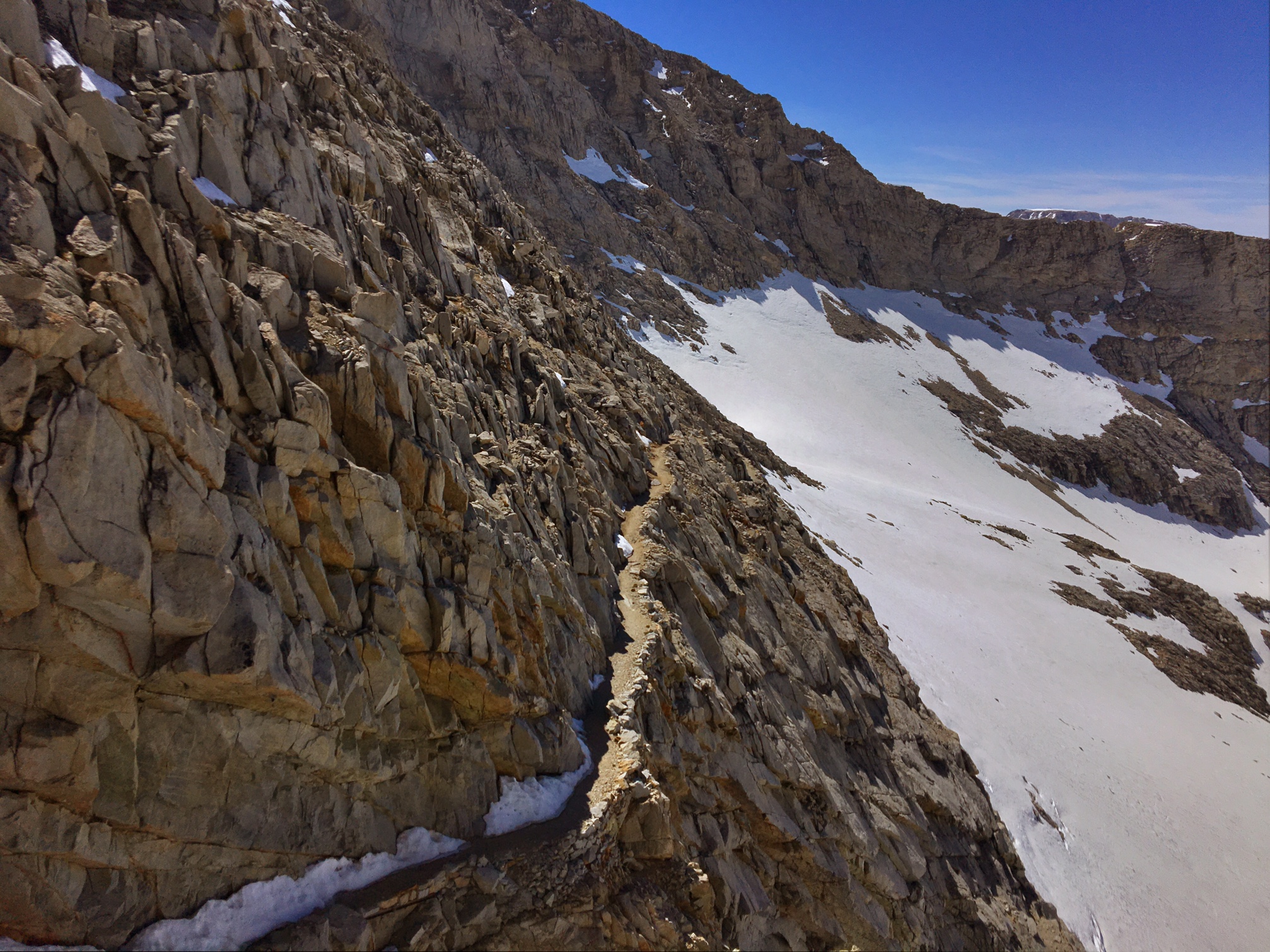
Today’s miles were mostly off trail to get over Kearsarge Pass and get to the town of Independece, CA to resupply.

I ran into these guys just as I headed out of camp, all who have hiked the AT in the last 2yrs. I even met one of them last year at the Woodshole Farm! They are getting their AM coffee fix at Bullfrog Lake.

B-Rad hikes with his service dog Lola.

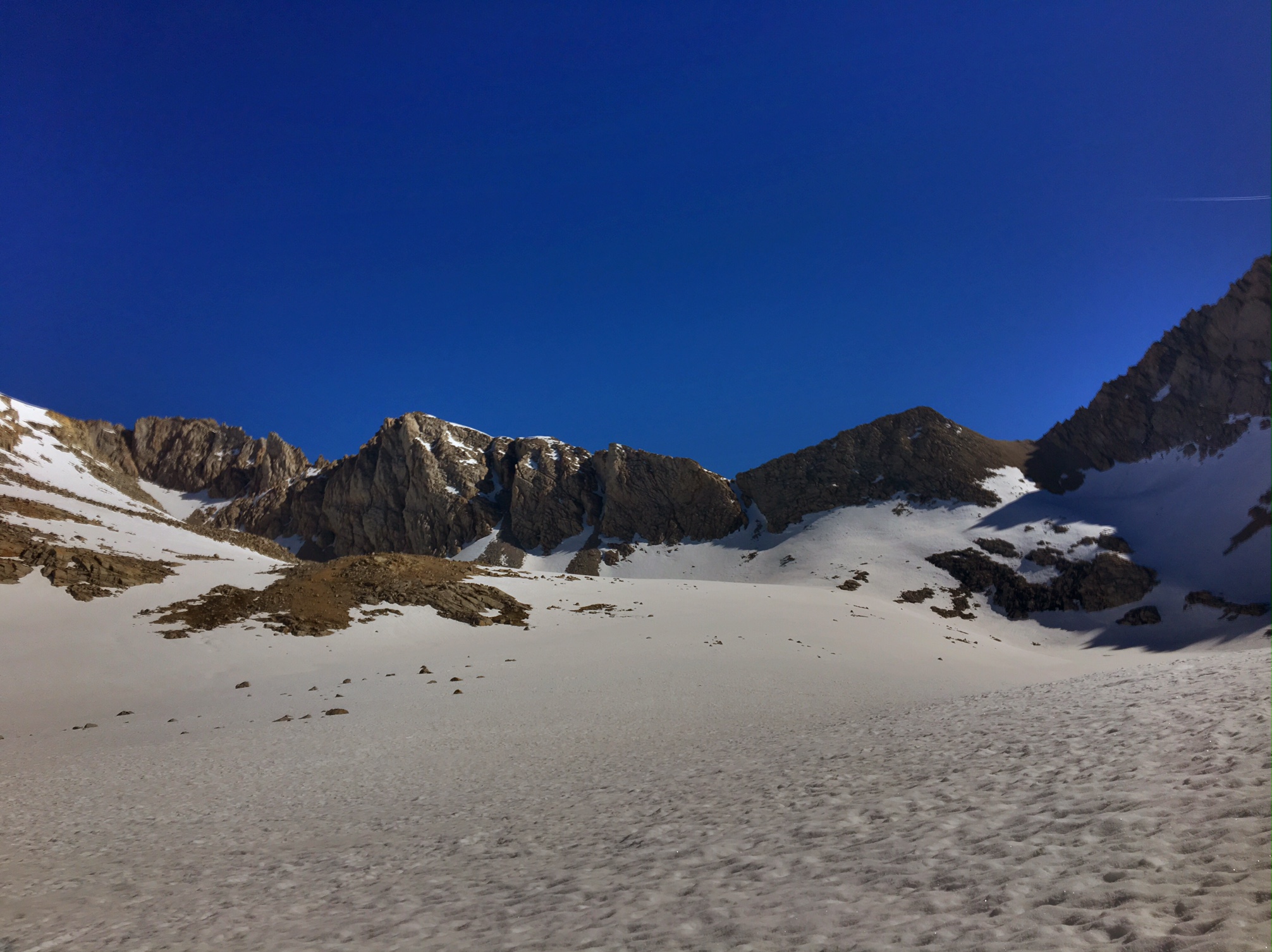
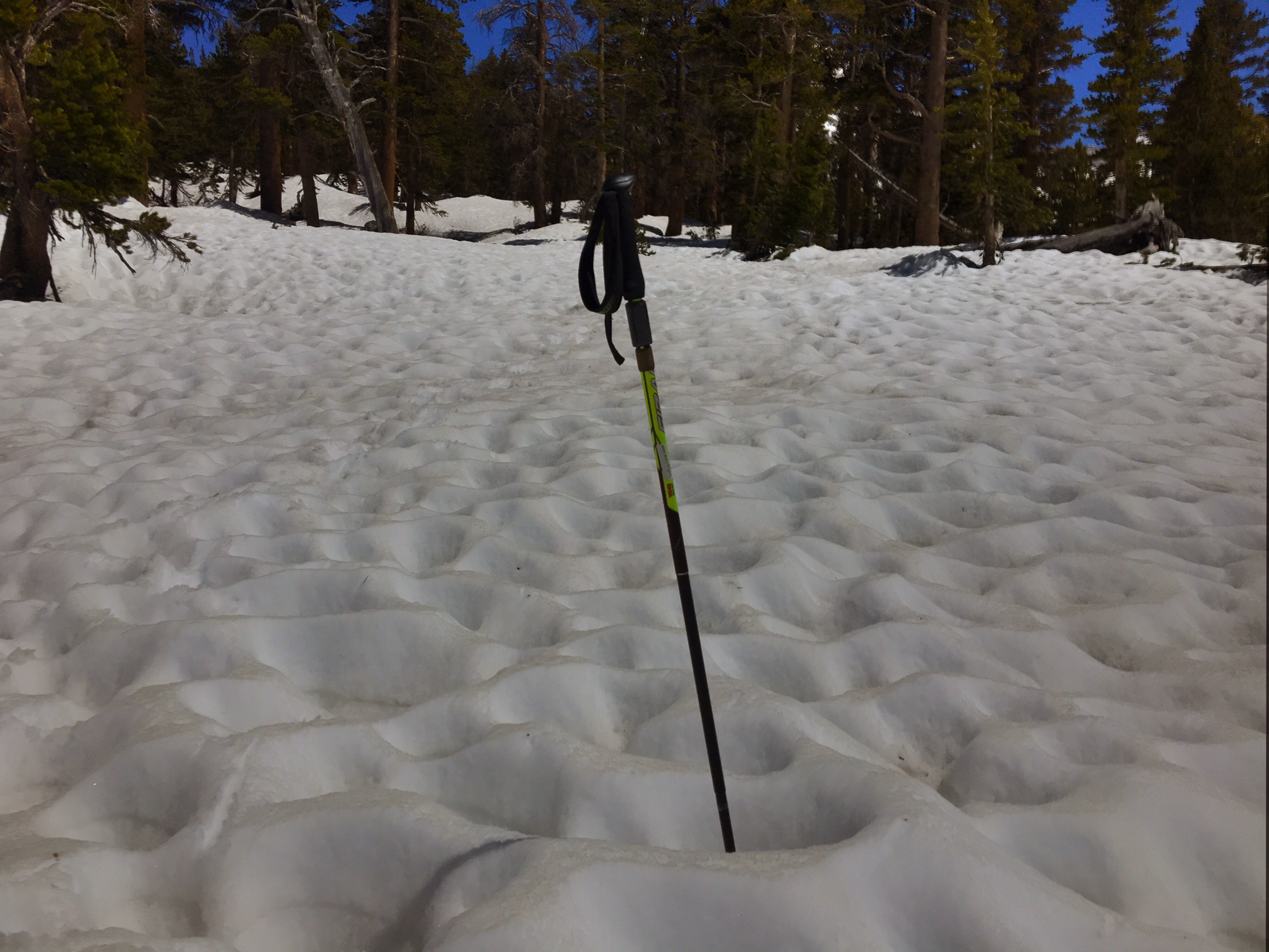
A morning of snowfields.

Several hiker-specks making the final ascent.

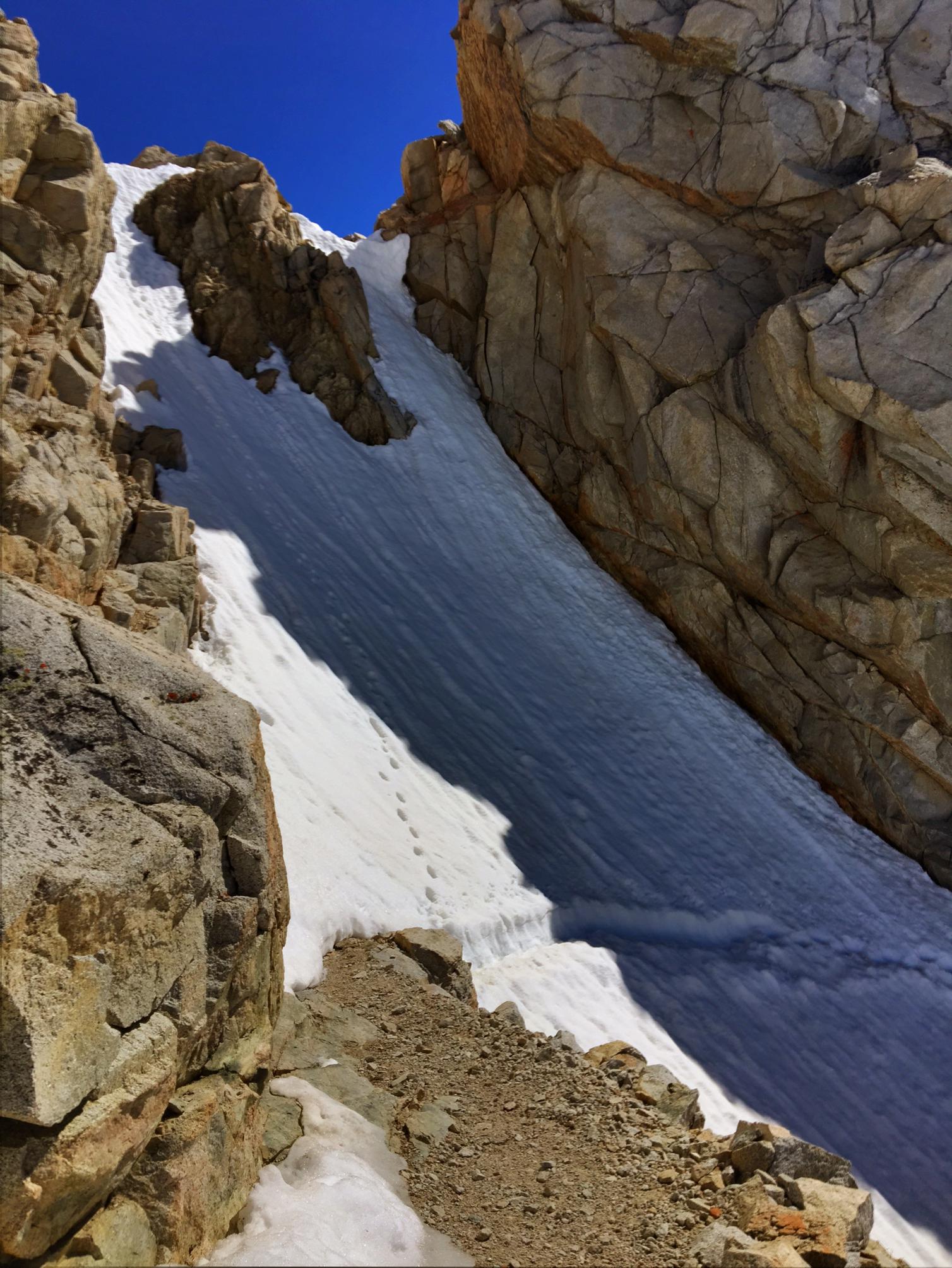
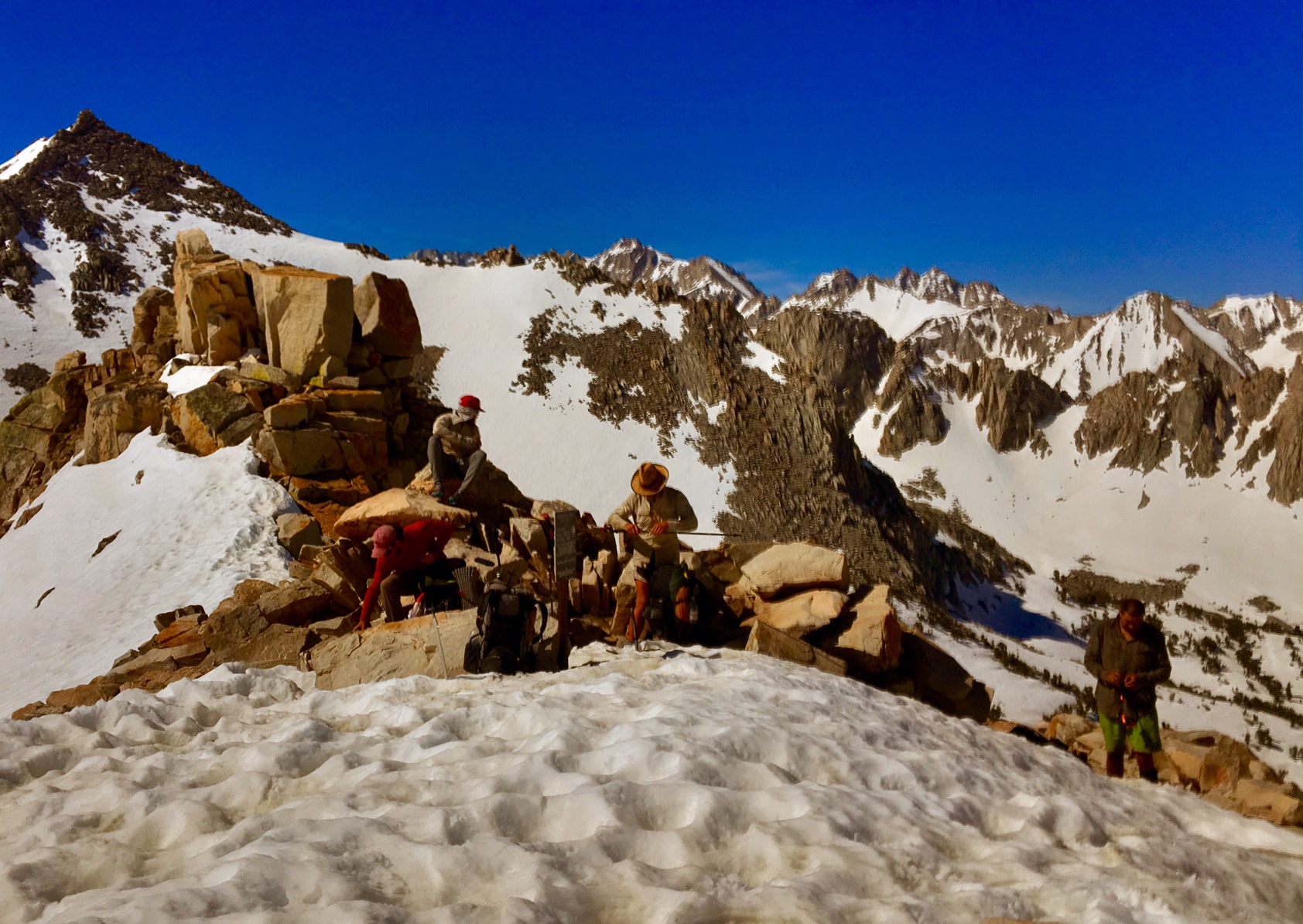
A break at the top of the Pass to gear up for the glissade down. (A link to the VIDEO).

Here we are 2500′ below the odd at the Onion Valley trailhead hoping to find a ride 15 miles down the mountain into town.

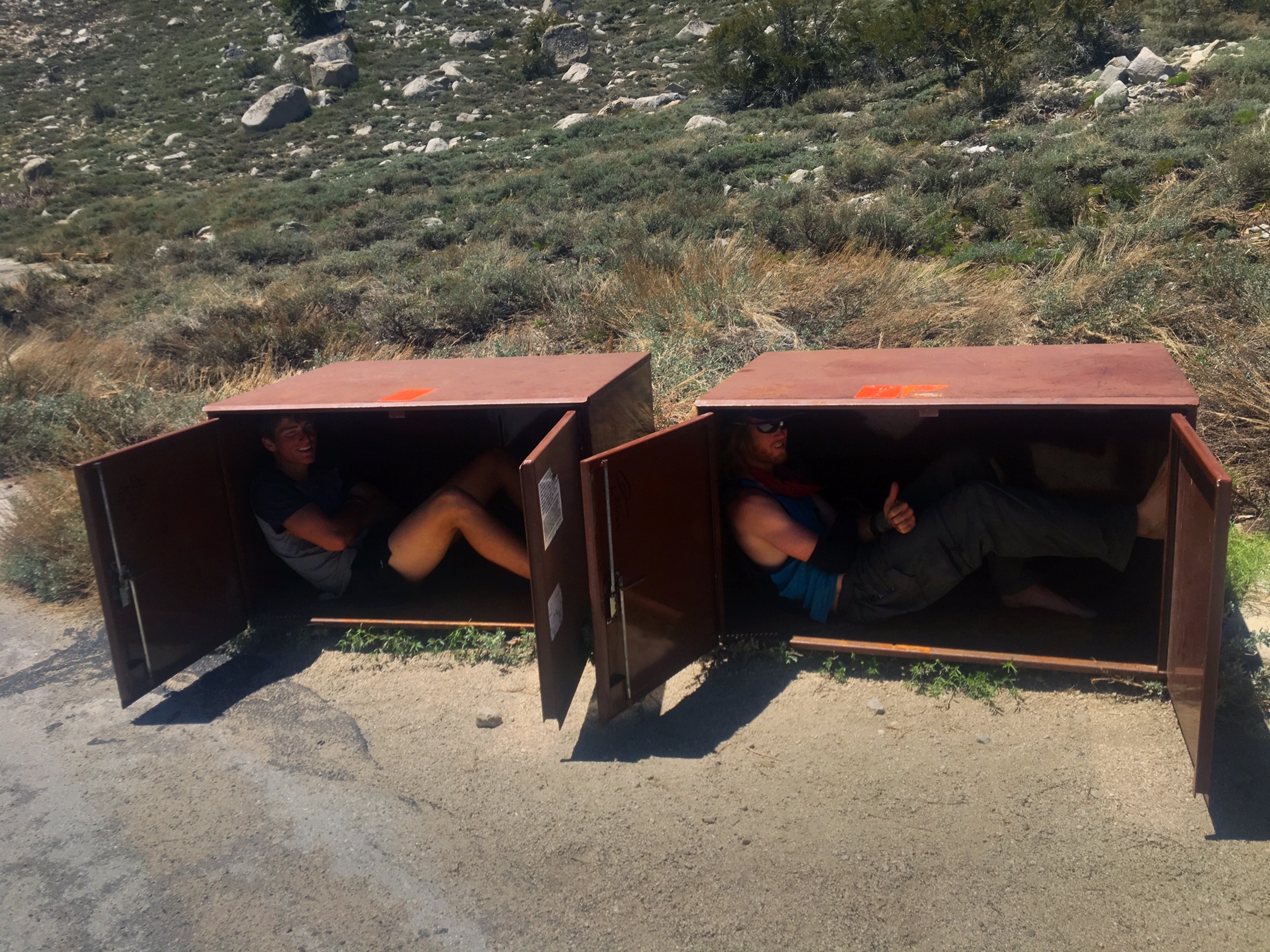
One way to find shade…these boxes are used by day hikers so bears don’t break into their cars trying to steal food.

After three hours one of the four vehicles in the lot was finally leaving. We fit 8 hikers and packs into the Toyota Tacoma.

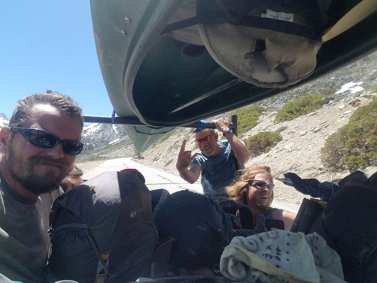
I hung on for dear life 🙂
I woke up this AM to maybe 30 degrees and snow everywhere. By 2pm I was in town where it’s 98 degrees…just can’t win 😉

Day 34, 6/6, Vidette Meadow, M-787, 15mi

This was the view at my 5:15am departure.
Unfortunately, all I could think of was how was the dread of crossing Tyndall creek in 2 miles, a rather large fast moving creek 5 miles before the 13,000′ Forrester Pass.

After wandering a 1/2 mile upstream I couldn’t have been happier to find this isthmus of snow to get me across safely and dry!

Can you figure out how we will get over the 13,000′ Forrester Pass headwall? Answer below.

Here’s a clue…

And another… (at least someone had cut in a footpath through the snow!)

This was the approach (after climbing the vertical snowfield). The trail here is a true feat of engineering.

Made it to the highest point on the PCT 🙂

The view from where I came up from.
The view on the way down.

This is what navigating through the woods looks like…

..or this.
Luckily GPS helps immensely but it doesn’t account for the giant berms of snow or trees piled up like pick-up-sticks from avalanches.

Then there’s postholing up to your crotch (no pic), or navigating fields of sun cups (these are 5-10″ deep).

The end of a long day got me to Vidette Meadow in Kings Canyon NP. The first dry land I’d seen all day…although most of it was mushy ground.

I found one good dry spot at the receding snow line between creeklets and some more mush. And surprisingly, there were no mosquitos.

Forrester Pass

A full day on trail and I saw zero people until 1/4 mile from camp…kind of crazy!