Day 98, 7/12: M-1850, Mitzpah-Camp (16mi)

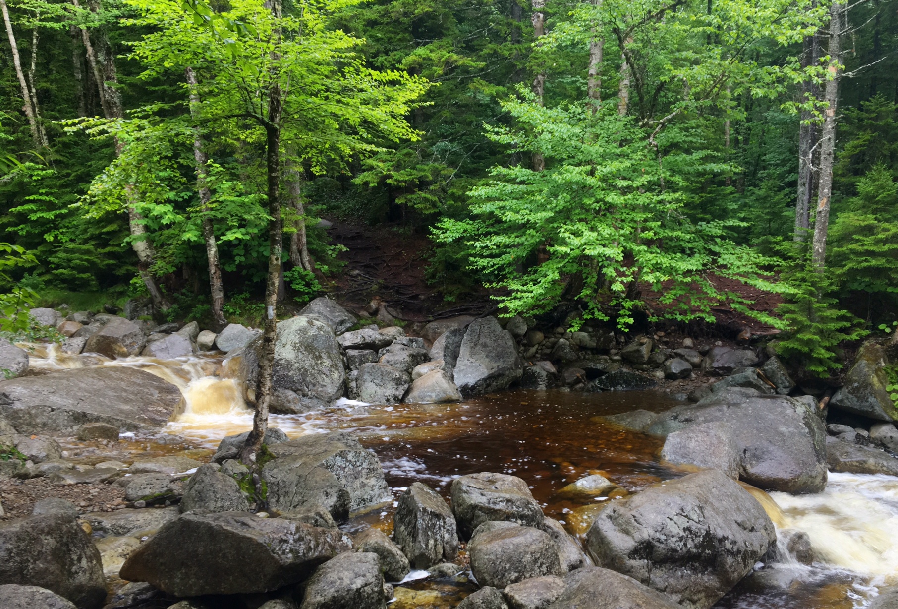
Morning light hitting Zealand Falls  
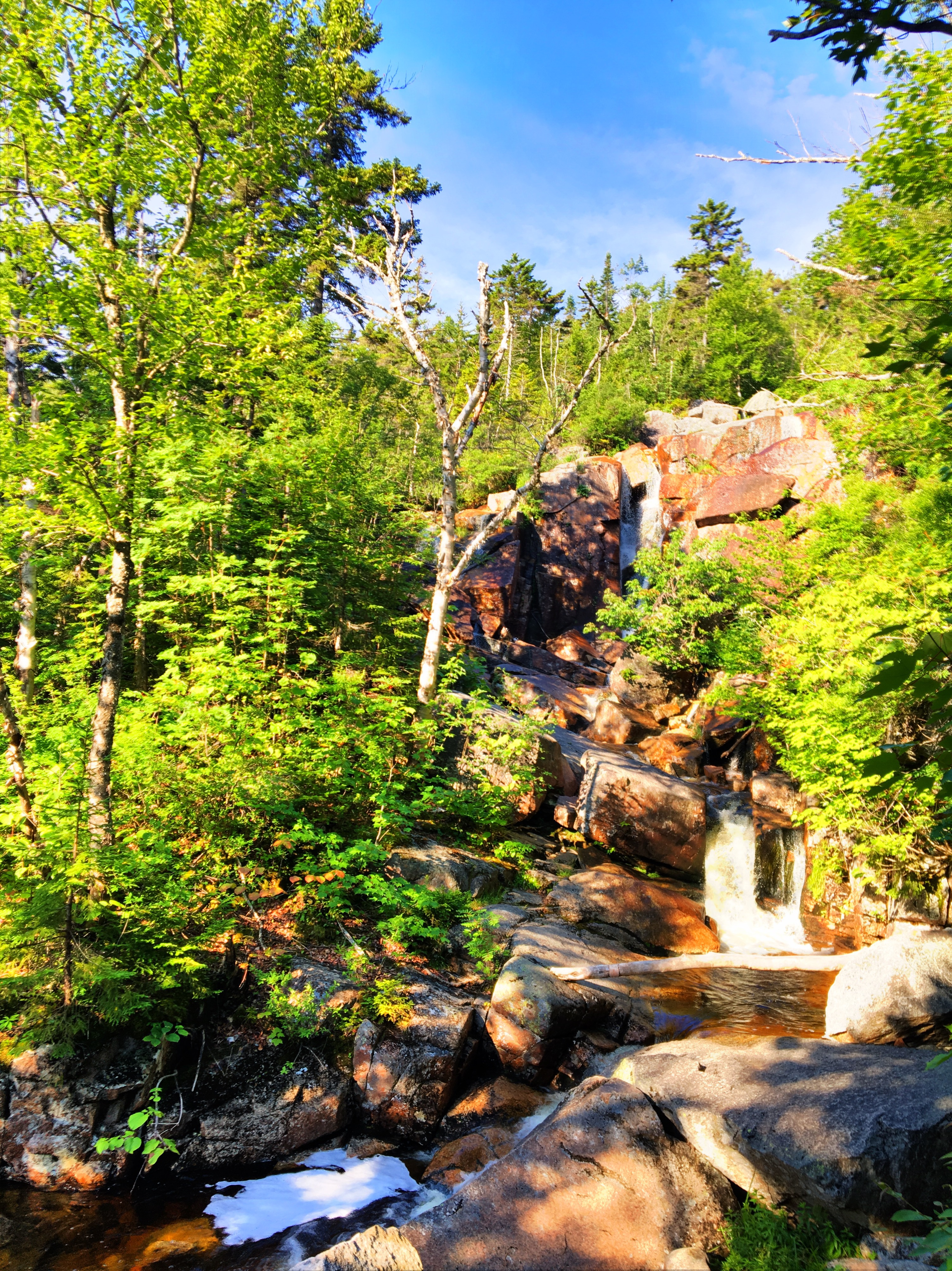
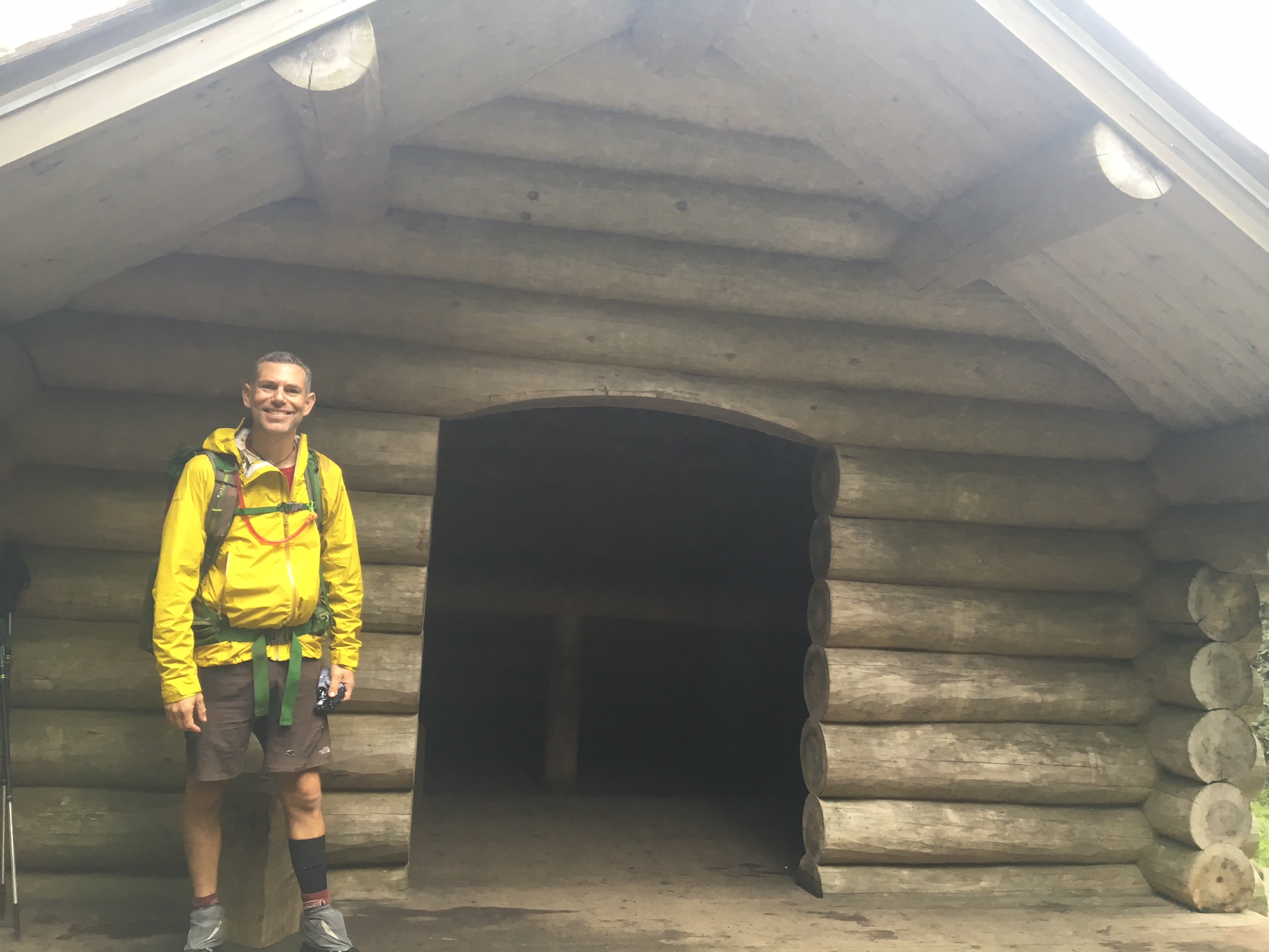
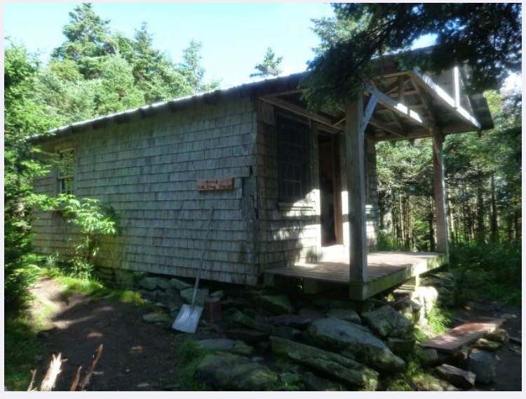
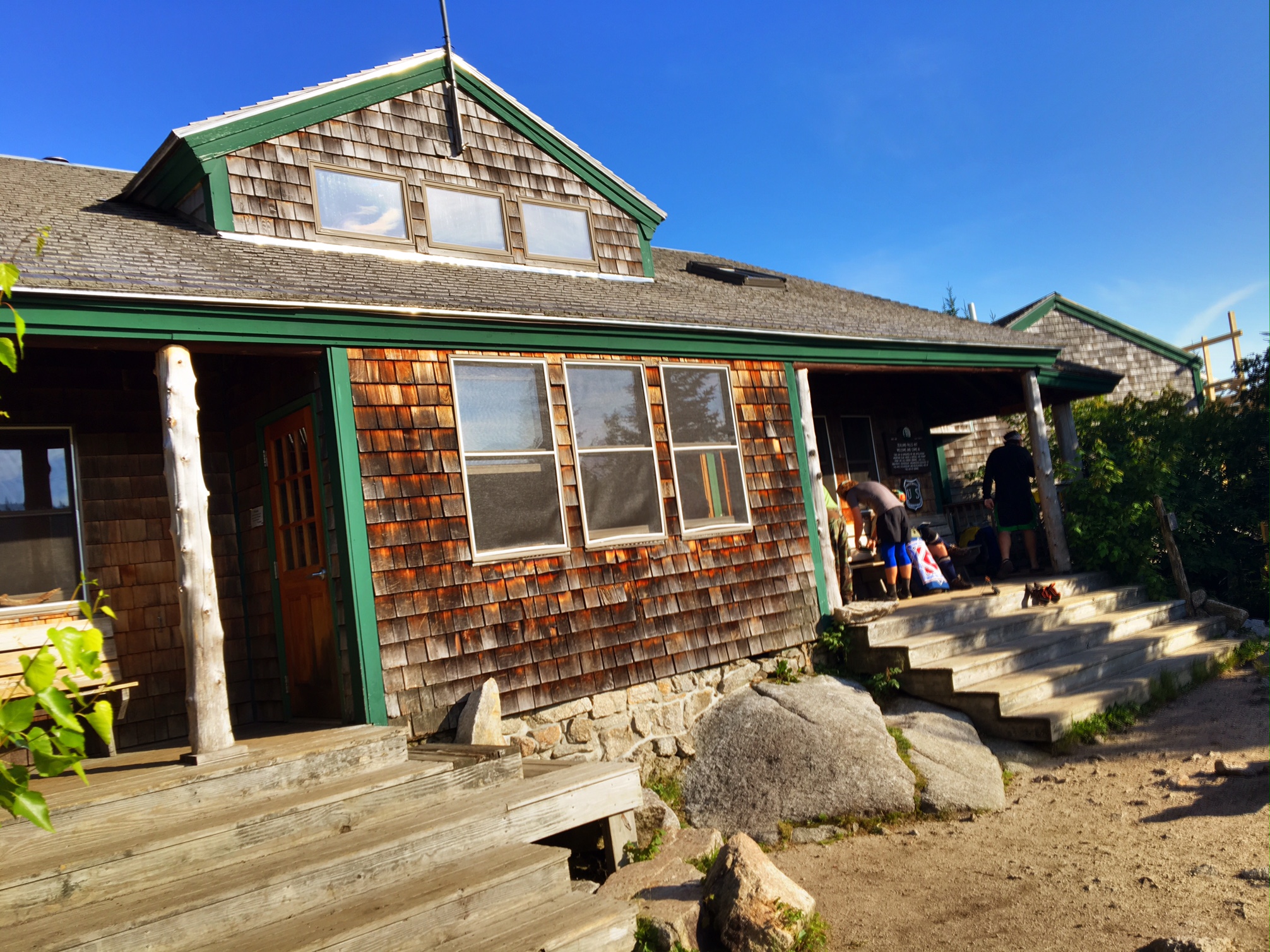
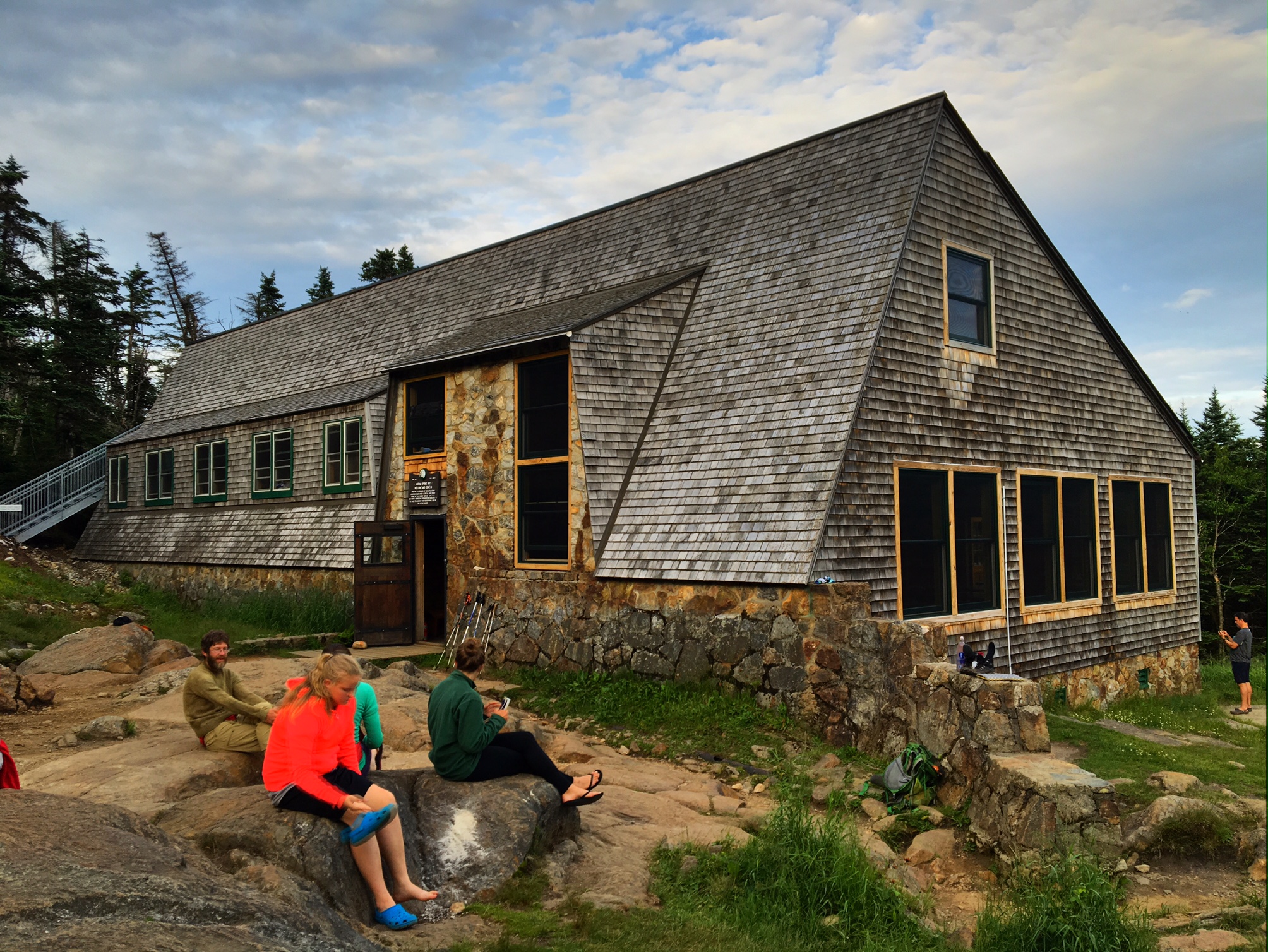
A short break at the Zealand Hut. There are about 10? huts in the Whites run by the Appalachian Mountain Club. They are all in remote locations that you hike to. They are bunk room accommodations and they feed you Dinner and Breakfast…unfortunately they cost about $120/nt and you have to book them pretty far in advance. Still, they area nice oasis for thru hikers: treated water, bathrooms, plus they will often give hikers leftovers.

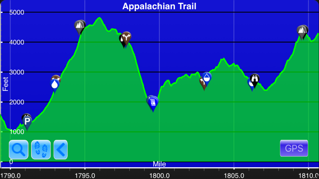
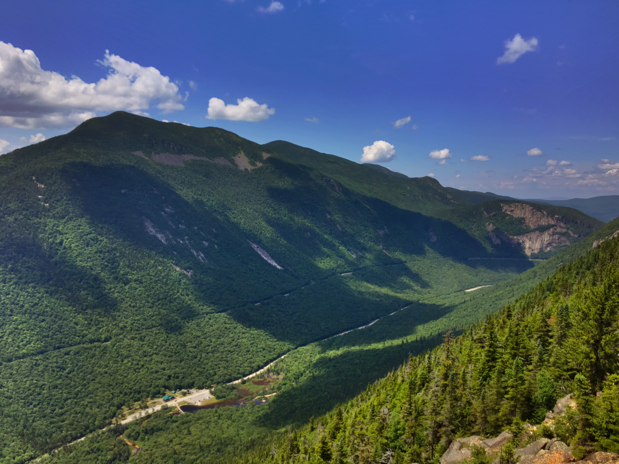
The hike out of Crawford Notch was a beast…

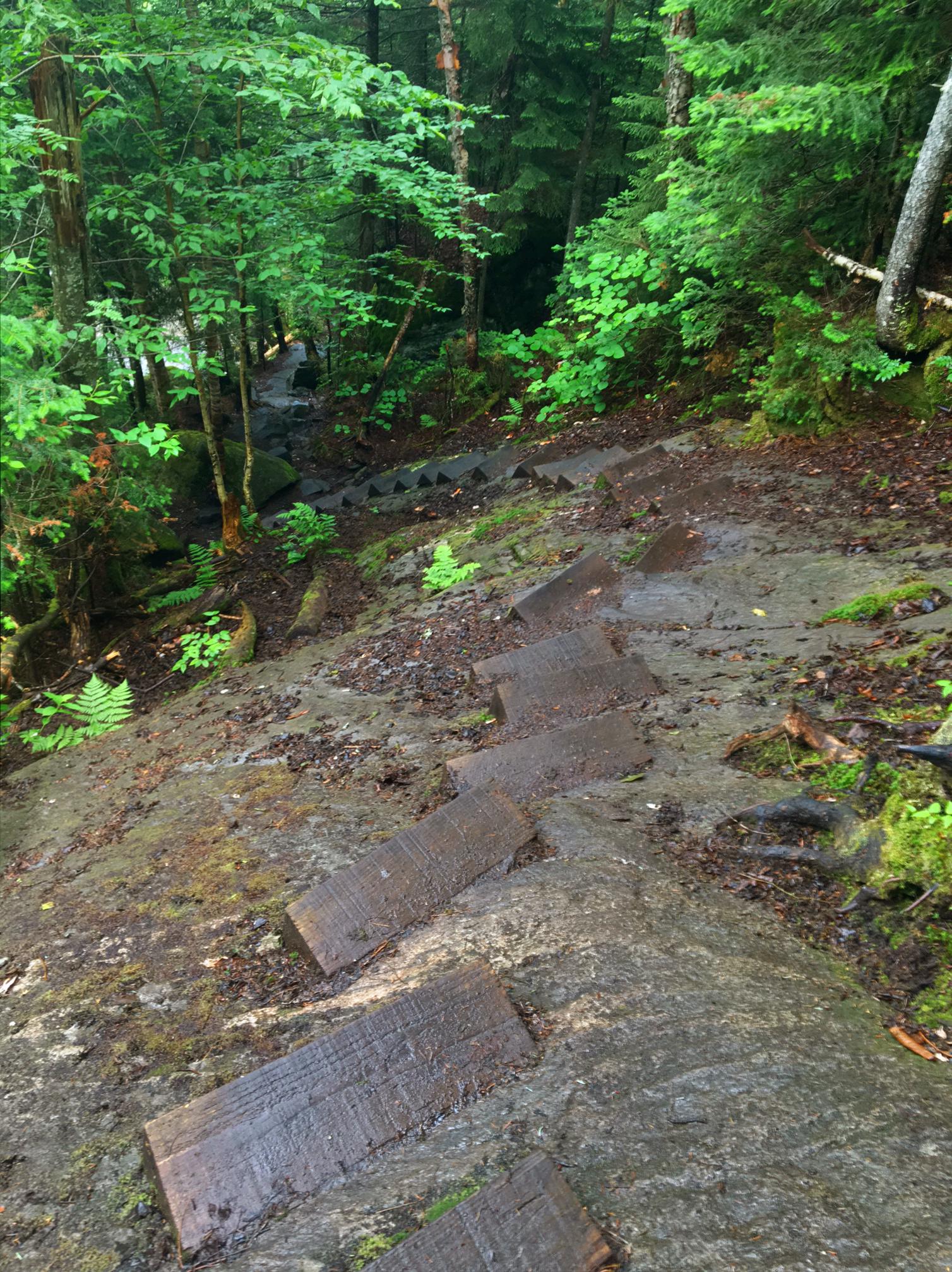
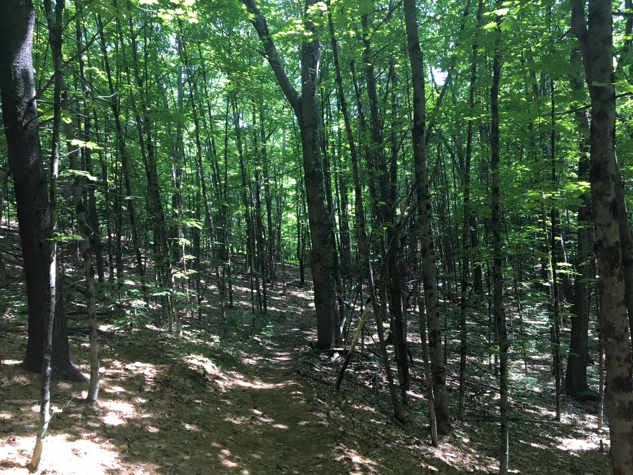
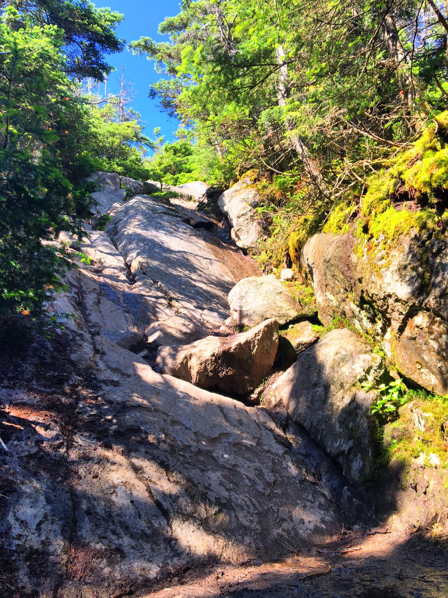
I’ve started calling these sections “McEnroe’s”, as in “You Can’t be SERIOUS!” I will literally do a 360 trying to figure out if I went off trail..no such luck.

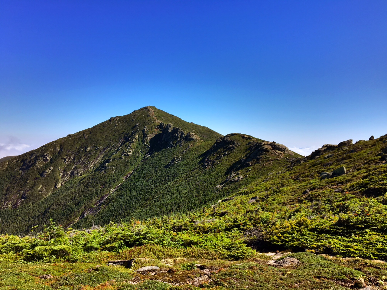
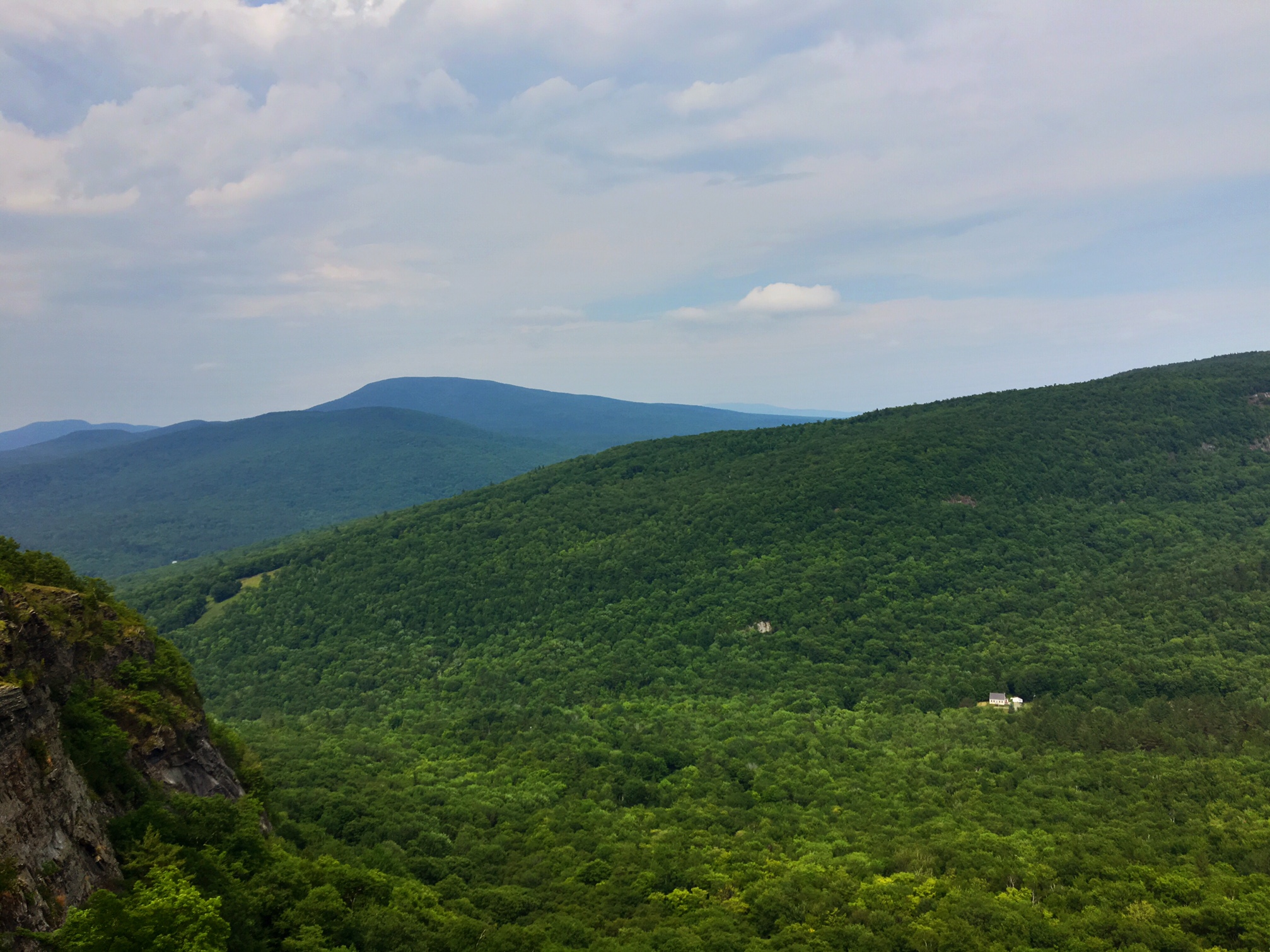
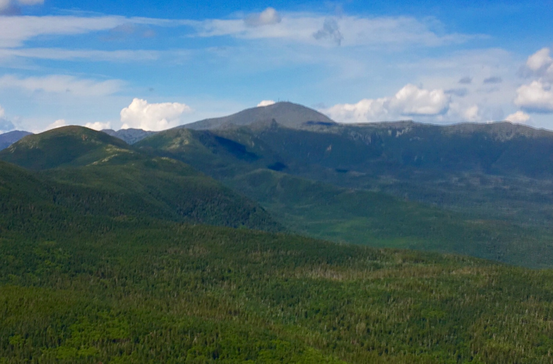
Mt. Washington…will summit tomorrow AM.

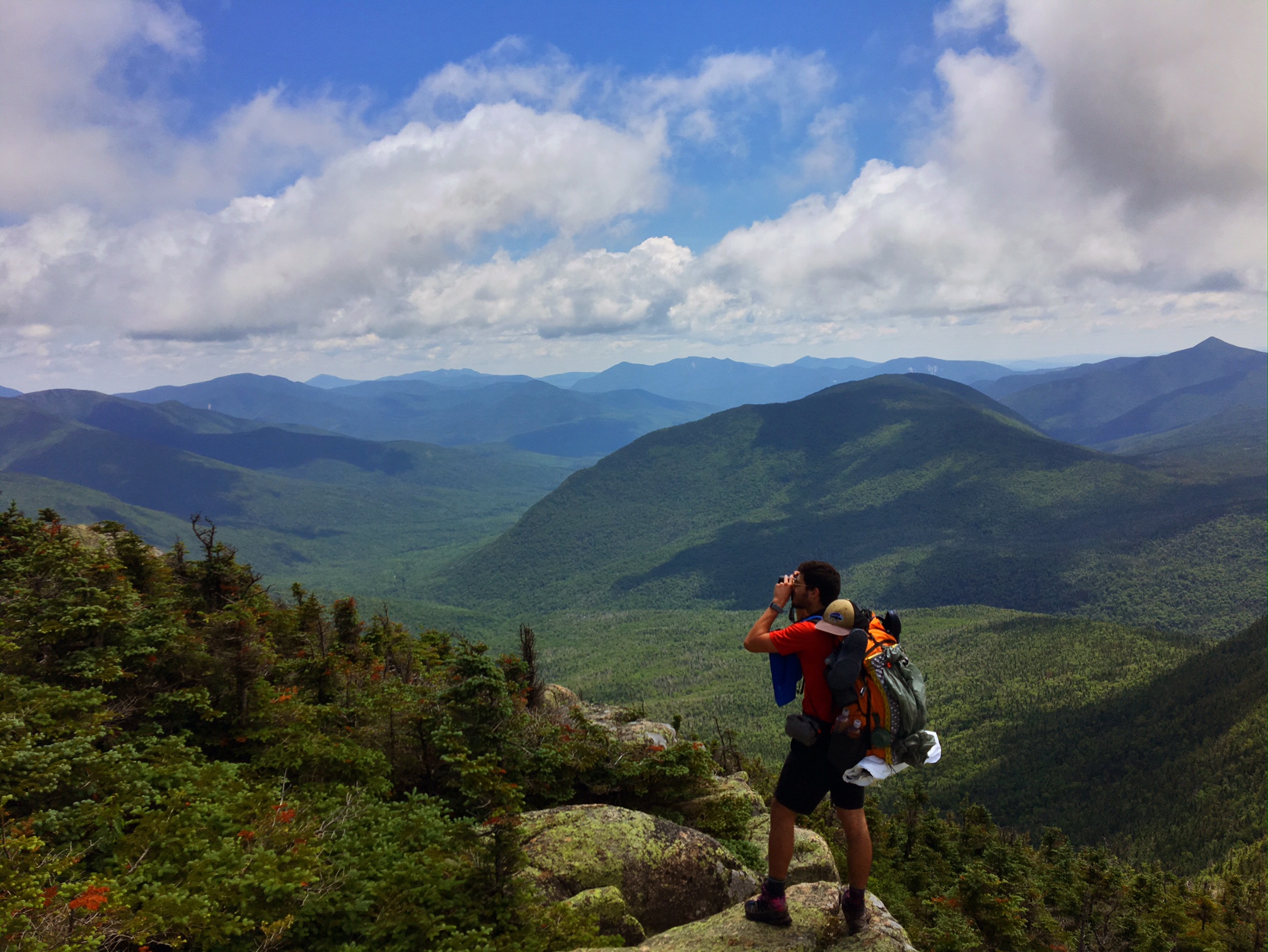
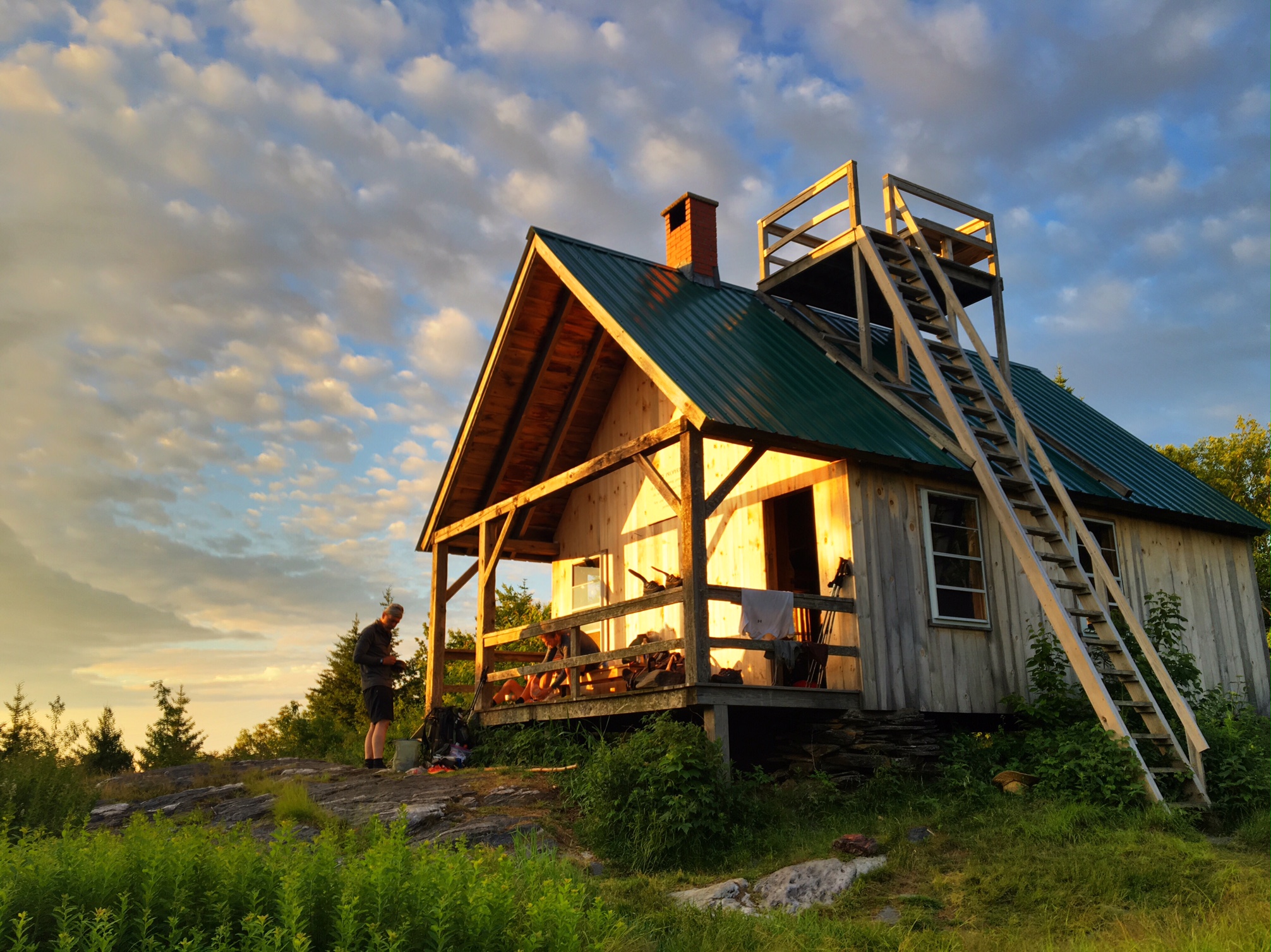
The Mitzpah hut has a camping area just down the way. It was great to have this big open area to relax in the evening sun.

Unfortunately, I’ve started to get shin splints in my other leg. Luckily, it’s not as bad as I had it in my left leg (at least not yet). This terrain is not exactly conducive to recovery but I’m managing for now.

My friend Liz commented I must really be hurting (after my last post with my list of nagging injuries) because I’m not usually one to complain. I just wanted to explain that I was merely listing these aches and pains for the purpose of giving folks a real sense of what goes on out here. Too often Facebook and Blogs present a distorted view of the world because we tend to only post the “good” things.

Day 97, 7/11: M-1834, Zealand Pond (20mi)

Worth the wait and effort…a perfect day to be in the White Mtns.

The Franconia Ridge

…From the other direction

Enjoying the view

Mt. Washington is poking above the dark mountains on the horizon.

Another nasty descent.

Sometimes the trail gods are kind enough to throw in a ladder.

Exhausted after a 13 hour day of getting my a$$ kicked.

Day 96, 7/10, M-1816, Franconia Notch (9mi)

It rained most of the night but started to lift by the time I got going at 6am. Most of the day I was in the clouds or it was a light rain.

The climbing continued its relentless onslaught. Pulling my way up by any means available: trees, roots or cracks in the rocks.

The wind wasn’t blowing above tree line like it was yesterday, but still no views.

It took me 3hours to go 4 miles to the Kinsman Pond hut for a well deserved break. (normally I could cover 7-8 miles in his amount of time).

Filling up water at Kinsman Pond.

This pic is for Eliza Wein…you have a shelter named after you 🙂 I will also try to get a pic of the Tuckerman’s Ravine sign for Tucker Wein.

Lonesome Lake

If you zoom in on the spindly tree in the middle of the river you will see a white blaze. I’m not sure what they were thinking crossing here! I crossed just up stream and managed to stay upright. My feet were already soaked from all the puddles and muck I’d hiked through earlier so this was a good chance to clean the boots off.

An old farmhouse lodge was a welcome respite from all the cold and wet, plus I resupplied in town. The other reason for calling it quits early is the weather is supposed to be improving significantly tomorrow. There is a 4000′ climb to the Franconia Ridge with spectacular views…hopefully I will get tinsel them (I definitely would not have today).

The good news is my shin splint is 98% healed. There’s no way I could have hiked this terrain 3 weeks ago in that state. Unfortunately, my left side has been seeing a lot of additional abuse: I hip checked the rock slab yesterday (can’t sleep on that side), I slammed my quad into downed tree trunk that was camouflaged in brush sticking out from the side of trail (still very sore), and a couple times a day my knee kind of buckles in a shooting pain (no idea why). Hoping I can hold it all together for another 3 weeks.

Day 95, 7/9: M-1807, Eliza Brook (16mi)

This is the elevation profile for the day… 3600′ climb to start the morning. Little did I know this would be the easiest part of the day!

Unfortunately, Mt Moosilauke that I’d be summiting is completely obscured.

The trail became a river/pond as I reached the treeline.

Giant cairns mark the trail above treeline.

It was in the low 40’s up top and the wind was blowing a lot of wetness around.

More of the fine view.

….and then the real fun, the crazy descent.

I slid about 15′ down this slab while moving out of the way for these folks… a layer of slime/mud = not good.

They were nice enough to install some erratically placed steps on some of the sheer drops.

Occasionally, I could lift my head and enjoy the cascade next to me.

This was the warning sign at the bottom. The last 1.5mi took me almost 1.5 hours. The rest of the day was only slightly better.

I worked really hard for these 16 miles today. I’d probably be in a hospital if I didn’t have my trekking poles to ease my way down all the steep treacherous stuff , plus the rain made things extra slick. By the time I rolled into camp at 5:30 I was whipped, cold and wet. Normally I would have hiked the additional 4 miles to the next hut for a 7pm arrival but I knew better today. I needed almost 10 hours of actual hiking to go 16 miles, and the next 4 are more of the same.

Day 94, 7/8: M-1791, Jeffers Brook (22mi)

This is the fire Wardens cabin I stayed in last night. The lookout tower was not worth a trip up because it was all clouded in.

Top of Cube Mountain…will have to come back another time for the view.

Trail magic in the woods (100yds off of road) made for a nice lunch break.

The Hikers Welcome hostel is just 1/4 mile off the trail. AC lot of folks stay here before they do the 3600′ ascent of Mt. Mousiluakie and officially enter the White Mountains just after. I got a drink/snack and charged batteries before doing another couple miles to the shelter.

Too much sweaty/humid weather gave me diaper rash on my hip bones from rubbing on my packs belt. Some medical tape seems to help.

A true first, I was the only person at the shelter tonight. I think a lots of folks camped at the Hostel. Still surprising to have no one here, especially at the base of a big climb tomorrow.

Day 93, 7/7: M-1770, Fire Warden Tower (23mi)

A beautiful early morning as seen from Noah and Bess’ deck.

I love boardwalk hiking through the cattails.

The White Mountains on the horizon.

This is the home of Trail Angel Legend, Bill “the Ice Cream Man”. Sadly, he passed away this past spring but his grown sons were around and still giving out ice cream…which hit the spot on a super humid/sweaty day.

Here’s a picture of Bill.

This is Smart Mountain where I planned to stay tonight at the Fire Wardens Cabin. If you zoom in you can see the Fire Tower. Several tough climbs today, the last one gained 2000′ rather quickly.

You can see a little speck just to the right of high point, that’s the tower.

Coda the pooch standing guard at the entrance to the cabin.

You know it’s a really humid day when you are soaking your shirt on the downhills!

Day 92, 7/6: M-1748, Hanover, NH -Noah (11mi)

This is the one room school house portion of Noah and Bess’ house…it’s their living room! My Grandmother’s baby grand Steinway is in the corner.  

It got pretty hot today but the shade of the dark woods helped to keep things a bit more comfortable.

A Classic New England church in the classic New England town of Norwich, VT.

Next, I crossed the Connecticut River into Hanover, New Hampshire…

Home to Dartmouth College. We literally walked right by campus and down Main Street.

I took care of resupplying and some town chores, then Bess picked me up after work and took me back to Sharon, VT for the eve.

Day 91, 7/5: M-1737, W. Hartford-Noah (19mi)

This is the private shelter/cabin available to hikers that I stayed in last night.

It was a popular destination because it was the night of the 4th and you could watch fireworks in the valley below.   

The widows walk provided the spectacular views (above the trees) from yesterday’s photos.

Here is my cousin Noah and Bess getting ready to hike back to their car after meeting me at the cabin for the night.

Meadow walking in VT.

The Suicide-6 ski area near Pomfret, VT

A little hard to see in this shot, but all the tubing hung in the woods is to tap the Maple trees and collect sap for making Maple Syrup.

Here we are in Sharon, VT about 8 miles from the AT at Noah and Bess’ house… a converted 1870’s schoolhouse (interior pics later).

Food and drink from the Worthy Burger nearby.

Day 90, 7/4: M-1718, Lookout Cabin, (24mi)

A fantastic view from Pico Mtn. to start the day. I was told the mountains on the horizon are in Canada.

Now that’s a no nonsense warning!

I had a great breakfast at the historic Long Trail Inn. There lounge area is very inviting…a thru hiker could get stuck here for a while.

I liked this sign I saw by the bathroom….
The very peaceful Kent Pond.

This dog was just wearing herself out fetching the stick out of the water over and over again

The ladder was a very thoughtful and necessary accessory.

I Stayed at a private shelter/cabin open to hikers called The Lookout. There is a widows walk on the roof with a 360 view.

Hard to get the whole perspective even with the Pano.

The best part was my cousin Noah hiked in and met me for the night.

Here is Noah and Bess cooking dinner on the cabins front porch.

A great sunset ended a long day.