PCT COMPLETED! Day 114, 9/20, Kearsarge Pass, 16mi, 2650+ miles

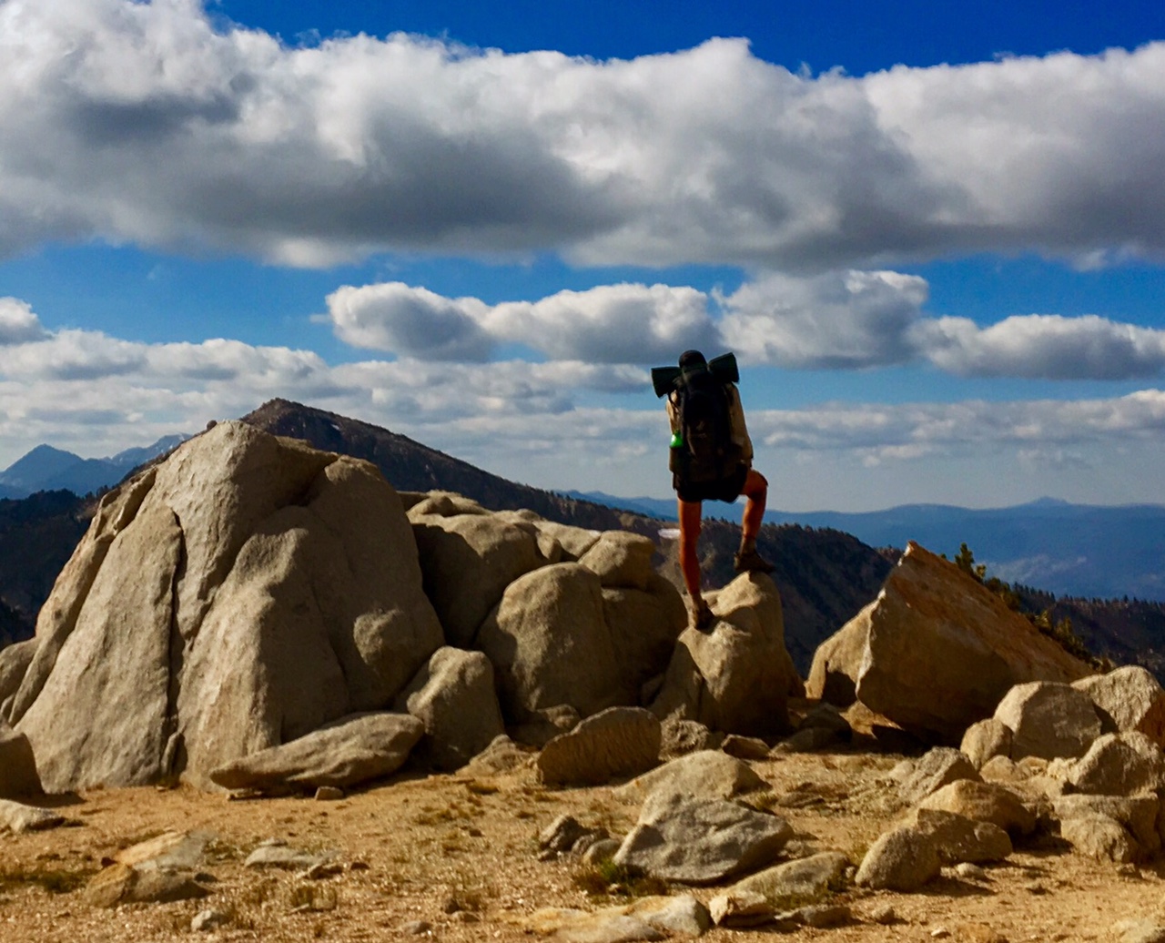
I woke up a before my alarm, a combination of excitement to be finishing the final day of the PCT and the fact that my mattress was mostly deflated, so I might as well just get up.

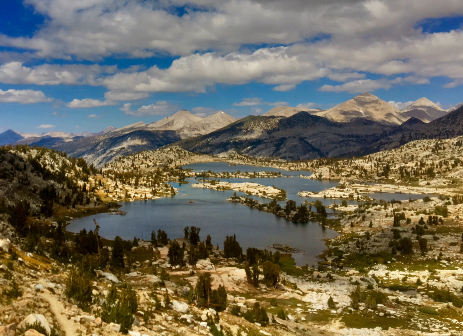
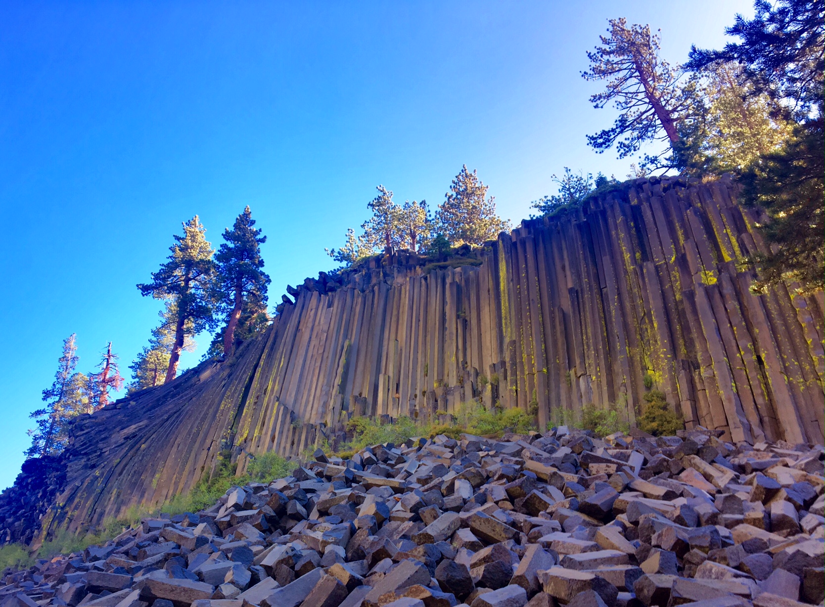
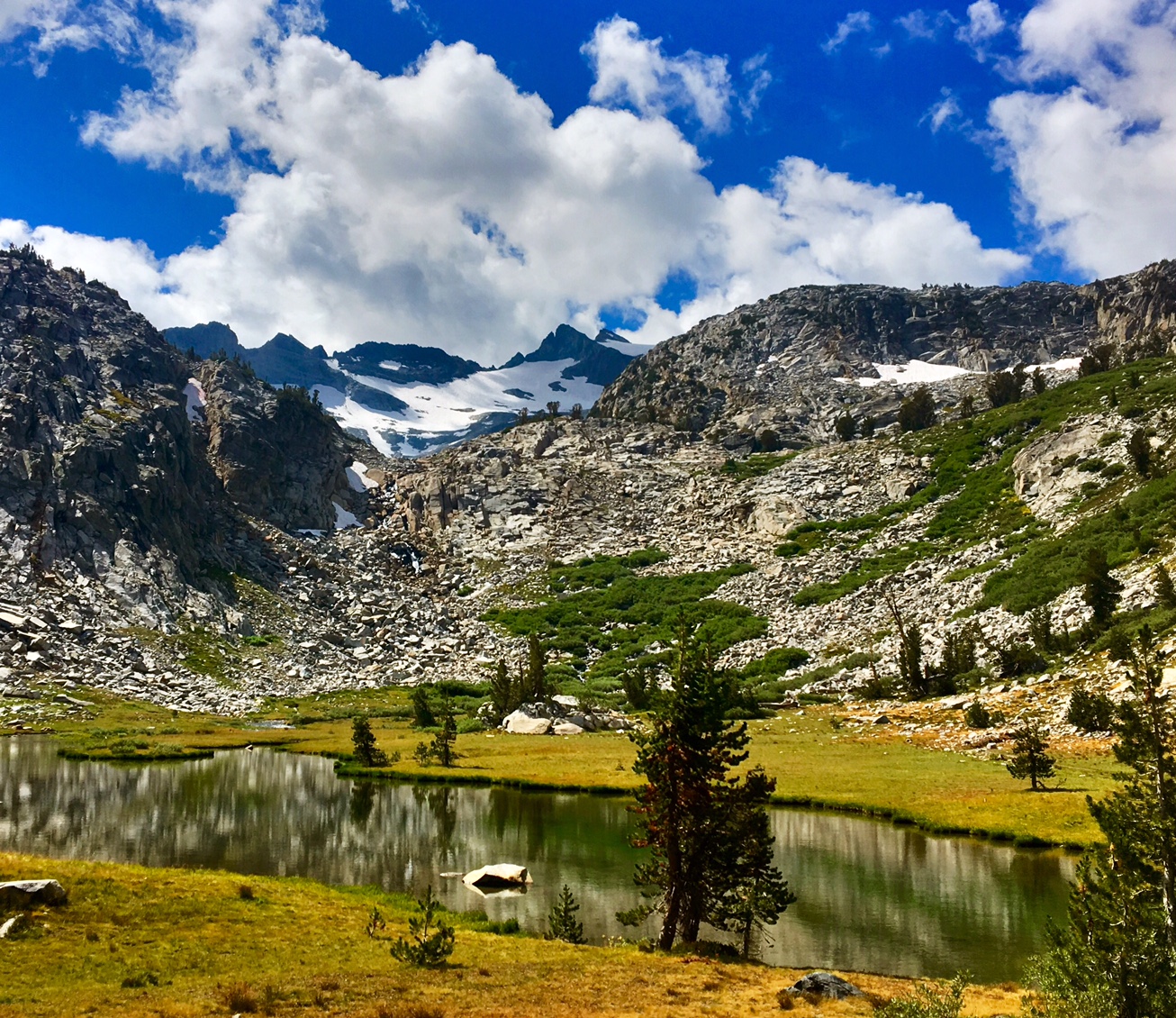
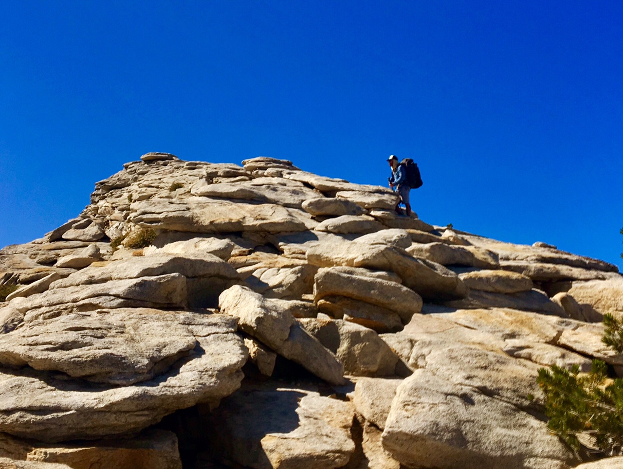
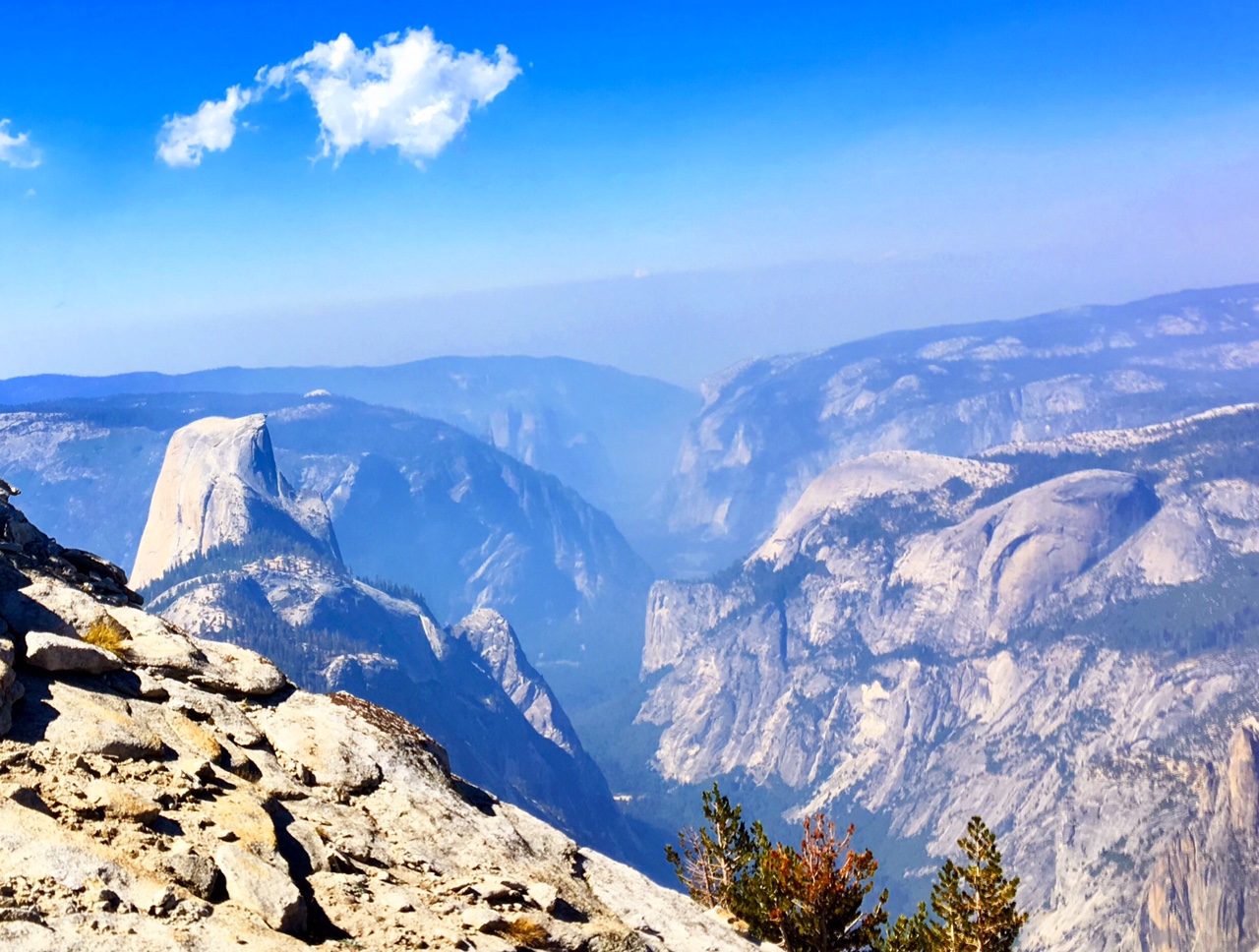
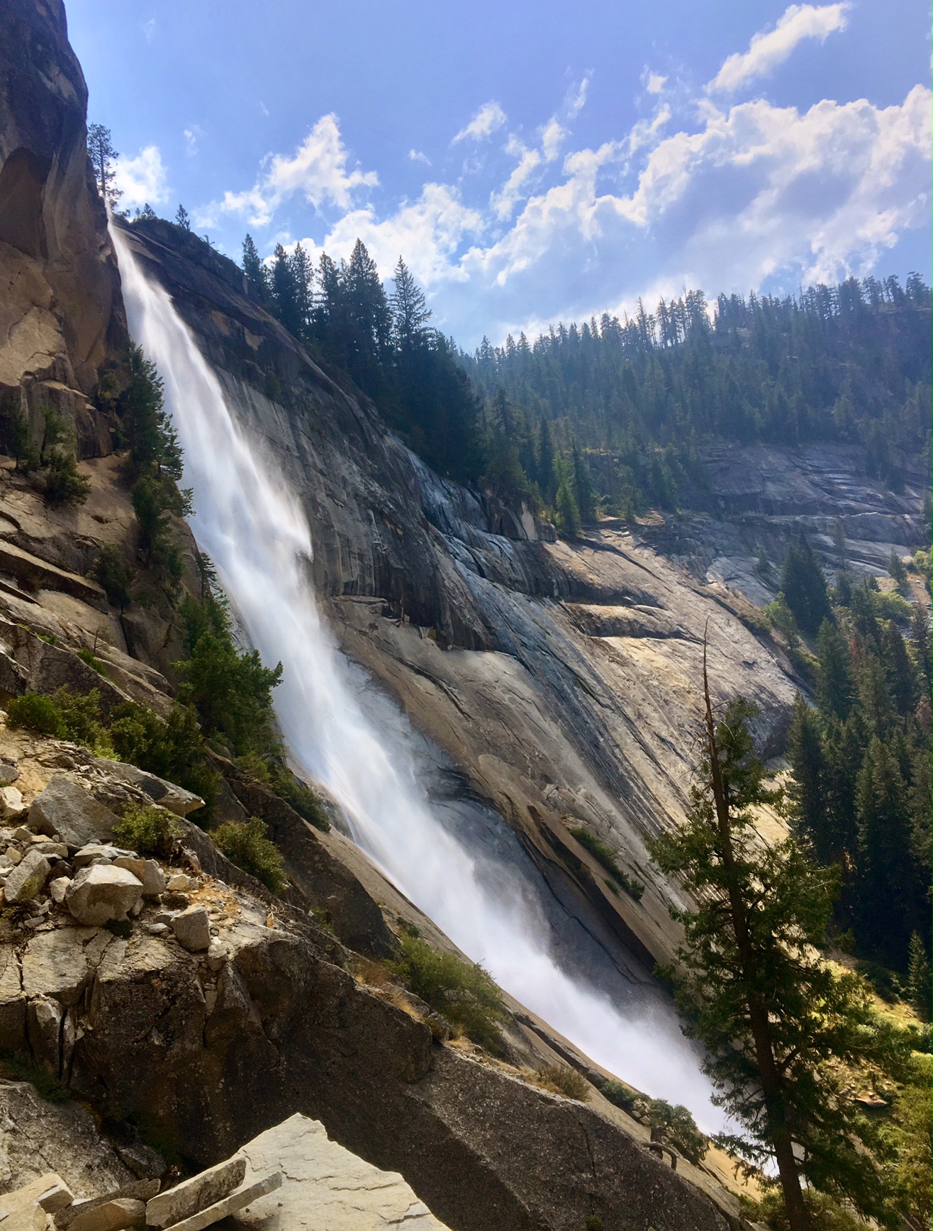
This final section of trail is really spectacular. Today would be the third time I’d hike through Rae Lakes and over Glenn Pass (previously on the JMT as well as a 4-day loop through Kings Canyon). I took a lot of photos since the scenery (and the lighting) were so spectacular and figured I might as well send this blog off with a bang.

An hour after sunrise the light is just starting to hit the top of distant peaks.

Reflection over Arrowhead Lake
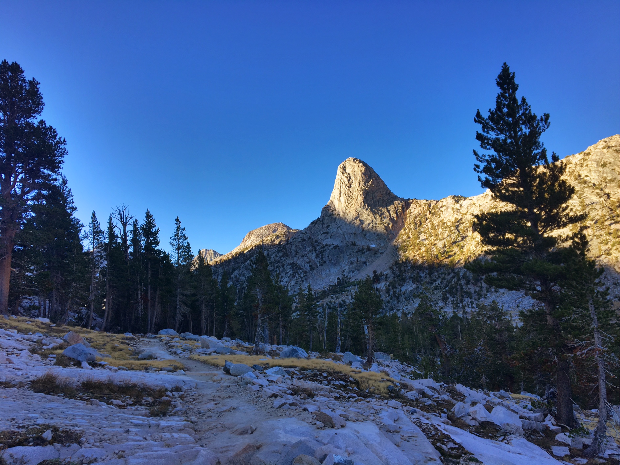
Fin Dome

The first view of The Painted Lady
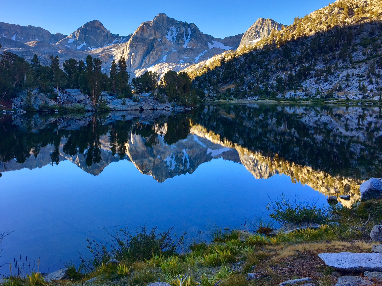
Fin Dome reflection

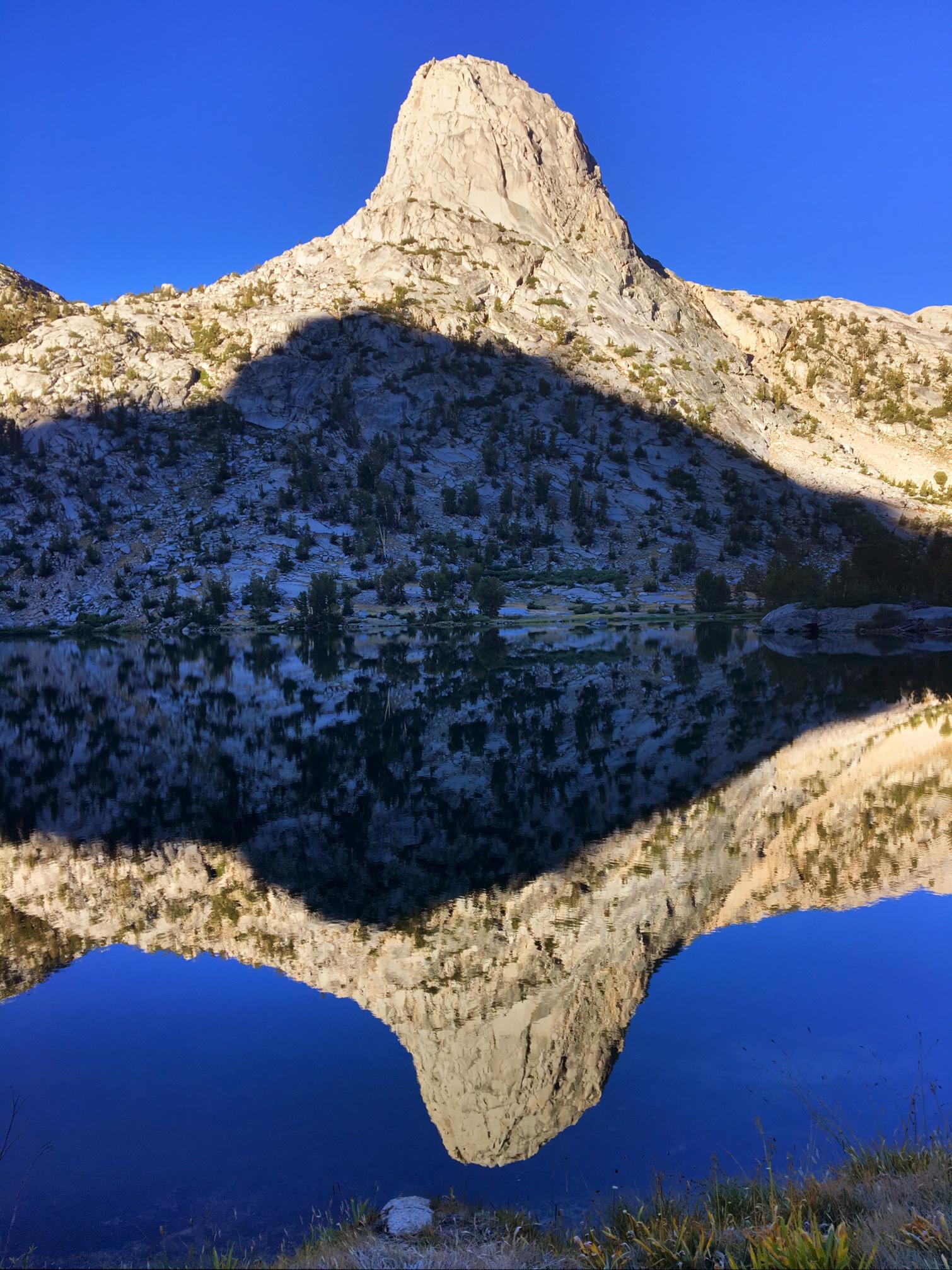
The Painted Lady reflection in Upper Rae Lake

The top of Glenn Pass (you can see the trail traversing across from the left).
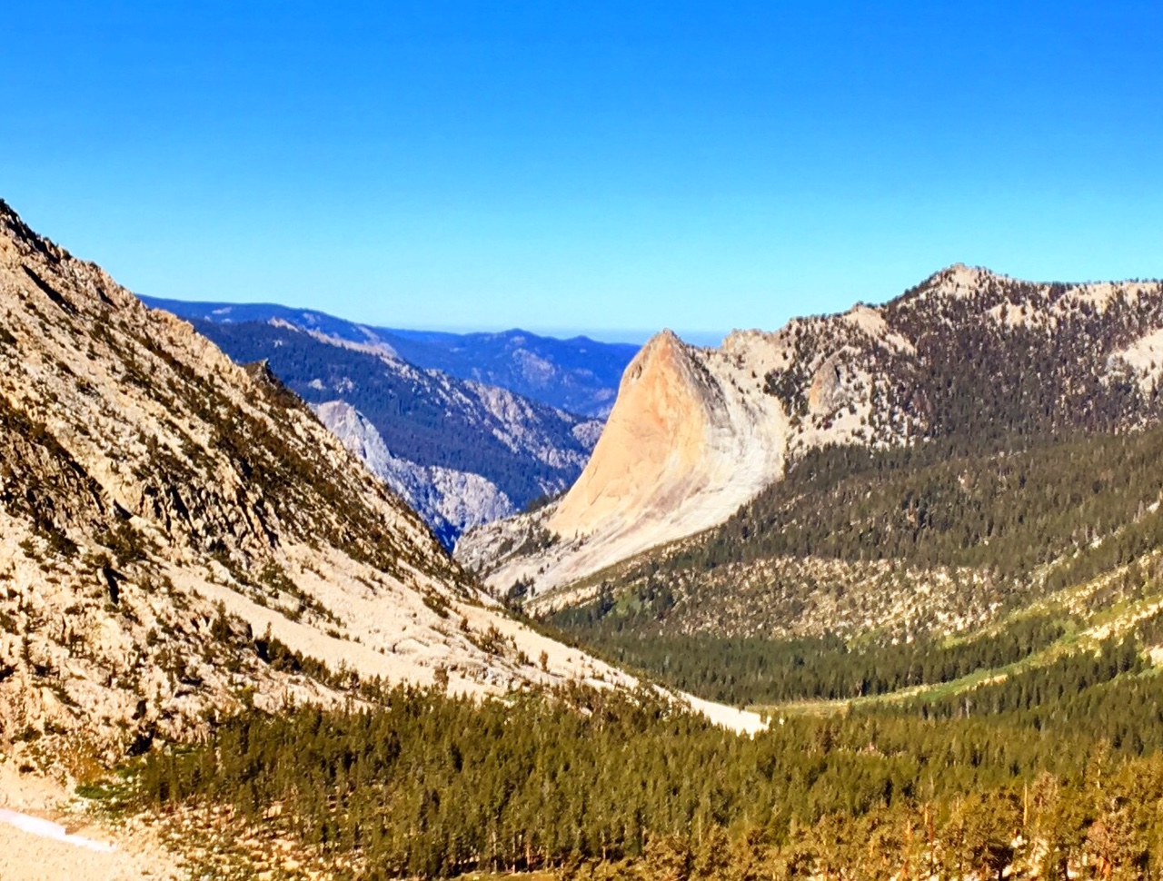
Charlotte Dome

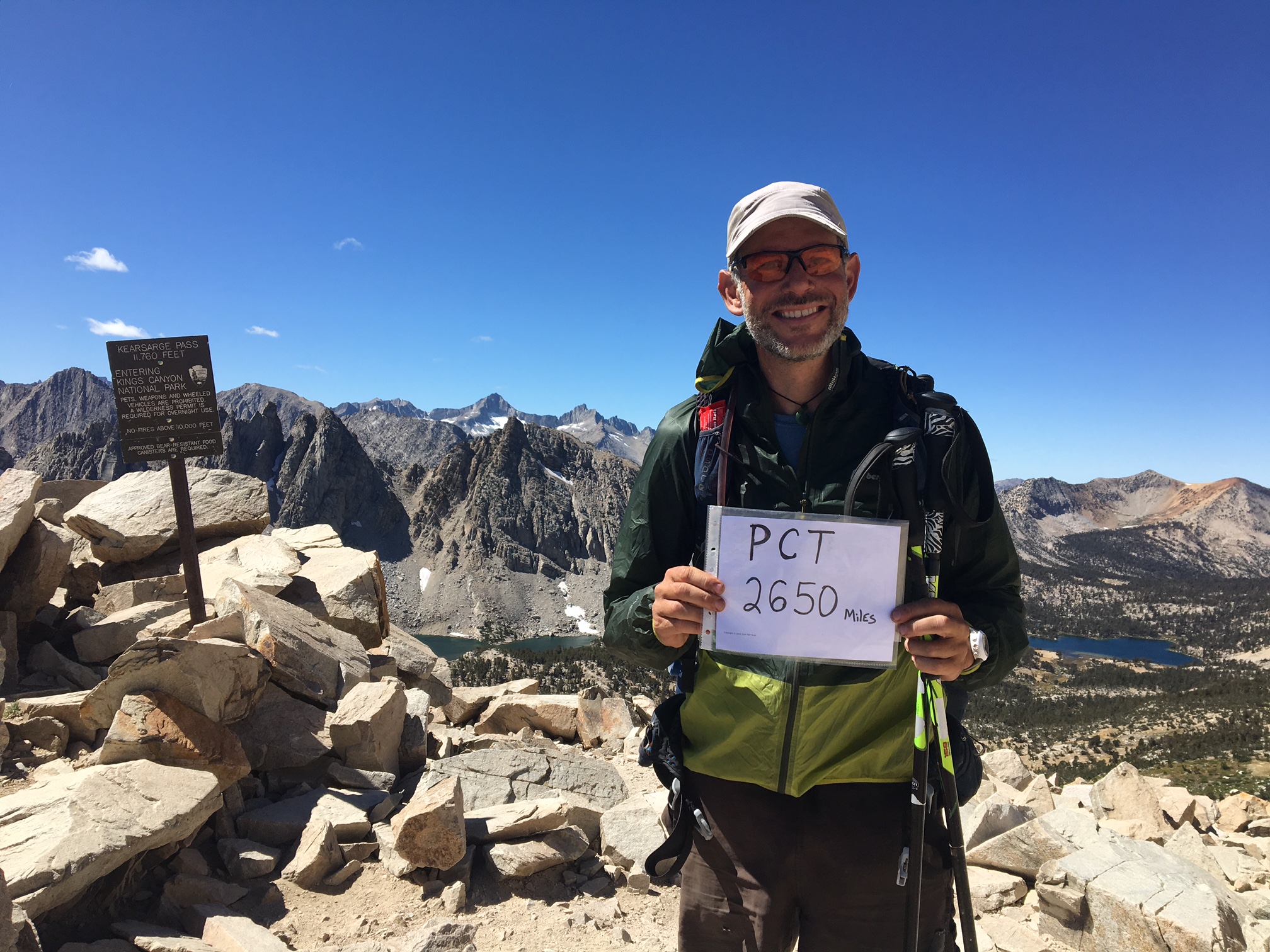
Technically, I completed the PCT at this junction (where I’d hike over to Kearsarge Pass and down to Onion Valley, then hitch into town) but this wouldn’t have been a very exciting place to celebrate with pictures 🙂

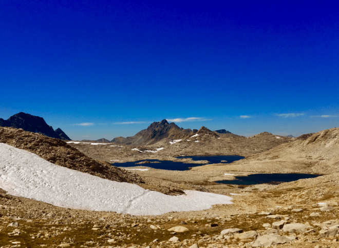
Bullfrog Lake view near the top of the Pass.

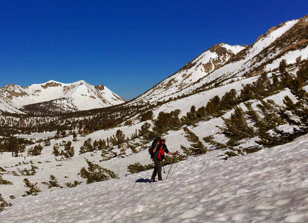
Similar location from when I did this back in June

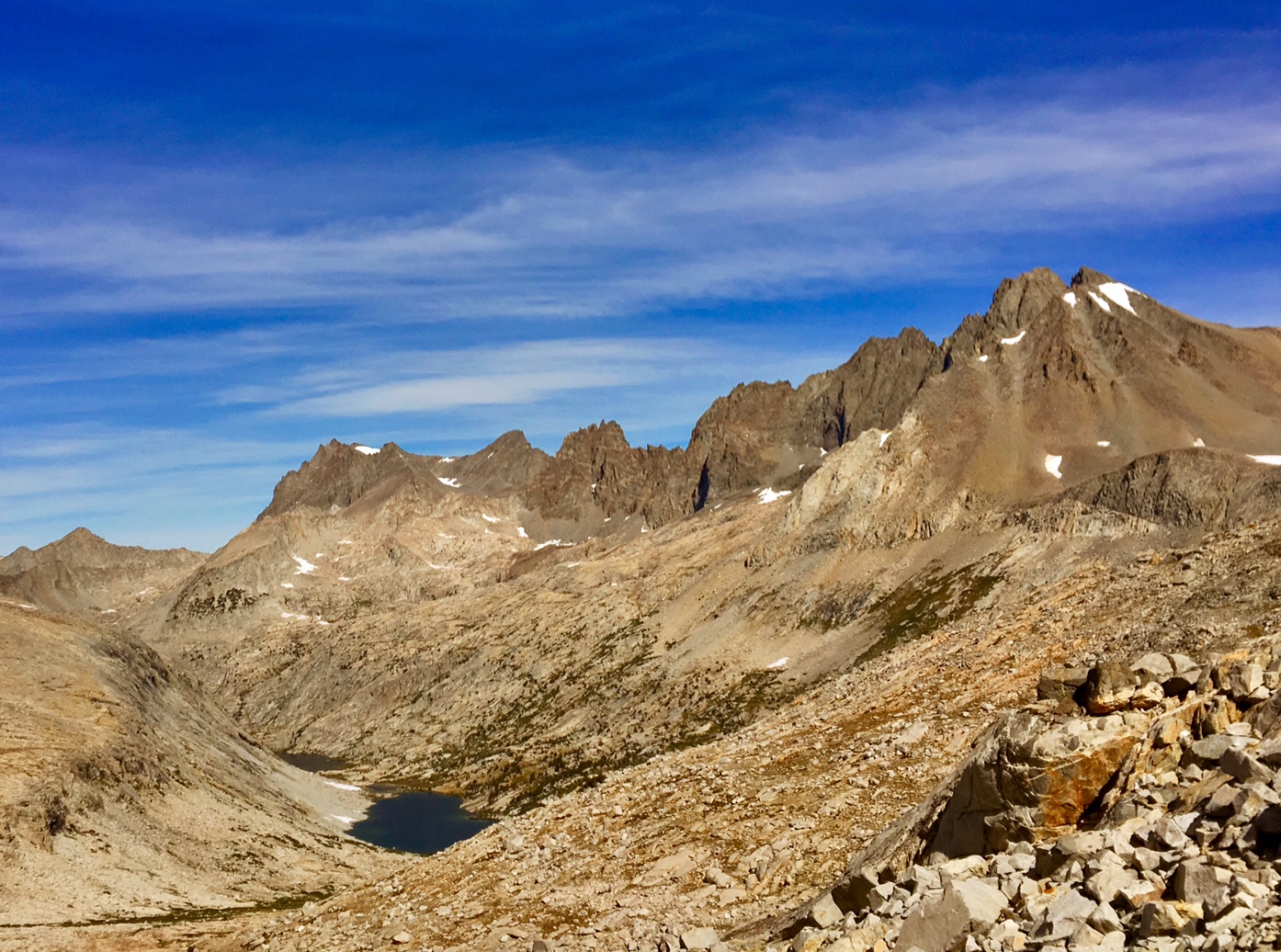
Kearsarge Lakes from the top of the Pass

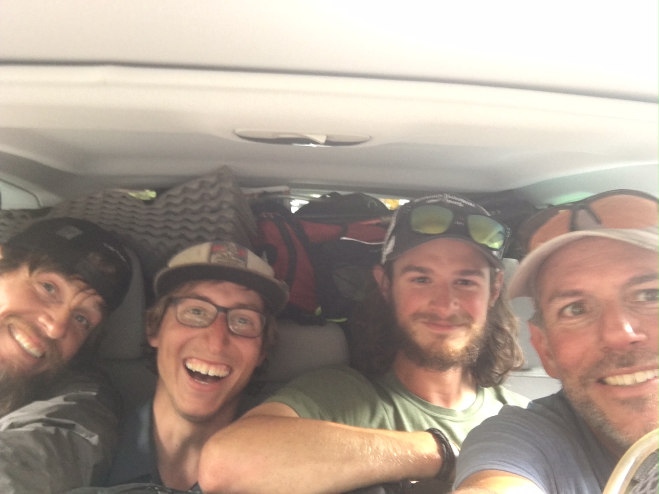
The Pacific Crest Trail completion celebration begins 🎉

Just in time too…look at these temps!
On the shuttle to the airport I could see the mountains were now covered in snow.

The dots represent all the places I stayed along the way. Blue dots were on trail going North. Orange were going South. Purple were off trail locations.

It was kind of odd waking up this morning (9/21/17) knowing I wouldn’t be hiking 25-30 miles today, or anytime soon. I will let things settle down for a day or two and be back with some final thoughts.

Day 113, 9/19, Baxter Creek, M-797, 29mi

I pushed pretty hard today figuring I’d rather make my final day a bit easier. The two 12,000′ passes were summited under blue skies but my legs know the end is near and weren’t giving me my normal power output (7000′ of climbing gave them their money’s worth).. .I guess they are ready for a break!

The view from Mather Pass to the North showing off the Palisade peaks (mostly 14,000’+) with Upper and Lower Palisade lakes just visible in the valley below.

The Mather Pass view looking to the South.

One of the many sapphire blue lakes on the final approach to Pinchot Pass.

The view from the top.

After a 3500′ descent the trail crossed Woods Creek on a very lively suspension bridge (sign says “one person at a time”).

I got to camp right at 7pm just as the last light was hitting the upper reaches of the peaks. It would be dark in 15 minutes.

Tomorrow is just 8 miles to the junction for Kearsarge Pass and then another 8 miles to Onion Valley Trailhead (w/ 4000′ of climbing) where I will hitch a ride 15 miles into town. If any of this sounds familiar, I did the same thing back in June when the trail was buried in snow (there’s a video of Sequoia glissading down). It should be easier to hitch a ride since there are actually people hiking the trails now that the snow is gone.

Day 112, 9/18, Palisade Creek, M-826, 28mi

Today was a classic Sierra hiking day. The trail followed a creek (Evolution Creek) upstream for many miles (16) passing alpine lakes on a series of benches. Then finally topping out on a high mountain pass… Muir Pass in this case.

 Evolution Creek cascading down the mountain.

Look who I crossed paths with this morning…
Just Bob! We met back in Tehachapi. Bob is 66 and crushes miles..i hope I’m in that kind of shape in 20+ years!
 
The sun began to warm me up as I entered Evolution Meadow.

I took a relaxing break on the shores of Evolution Lake.
This trail must have passed half a dozen or more major alpine lakes today.

 Looking back on the final approach to Muir Pass (~12,000′).

The Muir Pass hut.
It was fairly windy at the top so the shelter made a nice wind break.
The whole area is kind of a moonscape.
There was still some small snowfields to cross.

 After a couple thousand feet of descending it was great to see something green again.
The famous Monster Rock of the JMT. I was glad I could point out the landmark to this 10 year old Australian boy and his family who are hiking the whole JMT.

 The heart of Kings Canyon N.P.

 I was in the shadows earlier than normal today because the canyon walls are so steep.
I was glad to find an unoccupied campsite around 6:45 because there are quite a few JMT hikers out here. It’s getting fairly dark by 7:15 now.

So, tomorrow will be my last night on trail. Kind of hard to believe! The trail won’t be taking it easy on me just because I’m almost done. I have four more major passes (all ~12,000′ high) to go over in these last two days with 11,000′ of climbing.

Day 111, 9/17, Aspen Meadows, 30mi

Apparently, I still have a slow leak in my mattress. I re-inflated it three times in the middle of the night.. definitely more comfortable than nothing (like the night before)!

The morning started with a 2.5mi walk down a forest service road to get to the trailhead for Bear Creek which would take me back to the PCT. All-in I think it was about a 6mi detour to resupply at VVR.

 A gorgeous meadow next to Bear Creek.

View near the top of Selden Pass (~11,000′).

I decided to make the short detour to Muir Trail Ranch. They are known for the vast quantities of stuff hikers leave behind after sending their resupplies. The goodies are organized by type (i.e. oatmeal, batteries, toiletries, etc) in Home Depot buckets. I picked up much needed lip balm (still in packaging).

Shortly after the stop at MTR the trail entered Kings Canyon National Park.

I had a feeling I might catch my Swiss friends (they hadn’t stopped at VVR). Sure enough, they were camped at just the spot where I had decided on calling it a day (~7:00pm). It’s always nice seeing a familiar face when you get to camp 🙂

I was surprised I didn’t take more pics today since the scenery is so spectacular on this stretch through the high Sierras. I think it’s too overwhelming to capture suitable images. Even a 360 panorama wouldn’t do it justice.

Day 110, 9/16, Vermillion Valley Resort , M-875, 17mi

It was a cold night…especially, since my mattress didn’t hold air 😦 There was frost on the outside of my tent and small puddles were frozen on the trail.

This morning’s view over Lake Virginia.

Old Bum climbing up into the sun.

Alpine lakes near Silver Pass.

There was still quite a bit of snow hiking over Goodale Pass (Elevation 10,700′)

Old Bum enjoying the views.

We arrived at the Vermillion Valley Resort around 1:30….they are very hiker friendly.
Lots of John Muir Trail hikers use this as a stop over as …
There hiker box is chock-full’o stuff.

The Old Bum is in need of a shower.

My resupply box has been waiting for me here since June 13th…amazingly, the tortillas were fine and had no mold! 

I spent most of the afternoon searching for (and patching) five more holes I found on my mattress.

I ran into Keychain and Wildcat who I first met back in June at Kersarge Pass and then hiked with them for several days in Northern Oregon.

Only three more nights to go!

Day 109, 9/15, Virginia Lake, M-892, 24mi

Somehow, I got a hole in my mattress the other day (while drying it out ?) so I didn’t get the best nights sleep. Fortunately, I was camped on some soft pine needles and it wasn’t too terribly cold (the mattress insulates too). I used my sit-pad under my hips and managed OK. Today I was able to find the hole when I stopped at Reds Meadow Resort and hopefully the patch works.

Smoke on the water.

Finally, some direct sunlight to warm us up this morning.

A short side trail through Devils Postpile National Monument.

I took a 3-hour break at Reds Meadow to rest, eat, charge batteries, and fix my mattress.

Many cool cloud formations, and thankfully, no rain.

The Butcher parted ways this afternoon to push ahead and finish at Bishop Pass in three days. I hiked the rest of the day with Old Bum from Big Sky, Montana. This was our campsite. I very carefully chose a site with soft pine needles in case my mattress fix didn’t work. (Currently, it’s now a slow leak). 

This was our view over Lake Virginia.

Tomorrow will be a shorter day into my last resupply at Vermillion Valley Resort. The resupply box was sent back at the end of May when I had was still planning to arrive here mid-June. I’ve emailed them with my new planned arrival date. So hopefully, the box is still there with nothing worse than some moldy tortillas to deal with (they have a small camp store to buy any additional items).

I have just about 100 miles to go plus a little extra to hike off trail to town…2550 miles completed!

Day 108, 9/14, Shadow Lake Jct, M-916, 26mi

It was a cold at night and a slow morning getting ready. Thankfully, the skies were clear.

There was still plenty of frozen hail covering the ground.


The Lyell Fork River looking spooky first thing in the morning.

Lyell Canyon is a real treasure in Yosemite NP.

Donahue Peak on the horizon with Donahue Pass and the trail obscured to the left.

Drying out gear on top of the Pass.

Banner and Ritter Peaks

1000 Island Lake.

Garnet Lake

Today’s route and the rest of the trail I’ll be doing basically follows the John Muir Trail. There are a lot more people on trail than I’ve seen in a while… mostly JMT hikers.

My body and legs definitely did not have their normal energy/power. Hopefully, a good nights rest cures that problem. Perhaps it was the cold/wet energy sapping weather last night ?

Day 107, 9/13, to Yosemite Valley, M-942, 16mi

The Butcher and I walked out to the road around 7:15am to hitch a 10 mile ride to the Tenaya Lake trailhead. It took about 45mins to get a hitch (not much traffic) from a nice German couple. Our hike would take us over Clouds Rest (~10,000′) which would give us one of the best views of Half Dome anywhere in Yosemite. Clouds Rest is about 1000′ higher and only a couple miles away.

The final part of the climb is along a very narrow spine with incredible views.
Here is The Butcher making the final approach up to Clouds Rest.

Our first peek of Half Dome and Yosemite Valley.

A little hazy from some fires to the West.

I had a visitor as we relaxed and enjoyed the view.

The descent was just as fun as we headed down to Yosemite Valley, 6000′ below.

…more great views of Half Dome on the way down.

We passed by Nevada Falls…

…and then Vernal Falls on the aptly named “Mist Trail”

When we got to the Village we caught a free shuttle to the Post Office then stopped at the Village store/ grill. We bumped into Bullfrog who had hitched a ride down to meet up with his parents who were visiting from Lake George, NY. Very conveniently for us they were going to be driving back up to Tuolumne and offered us a ride. Four of us stinky hikers jammed into the back of a Subaru with packs on our laps. (Old Bum, Butcher, Bullfrog, and me).

The skies cut loose on the 1.5 hour drive back to Tuolumne.

There was several inches of hail on the ground at the Campground when we arrived around 6:00. Luckily, the worst of it cleared out while we were in a warm, dry car !

Hopefully, the trail dries out tomorrow before too long. Just walking through the campsite we were dodging very cold pools of water/hail.