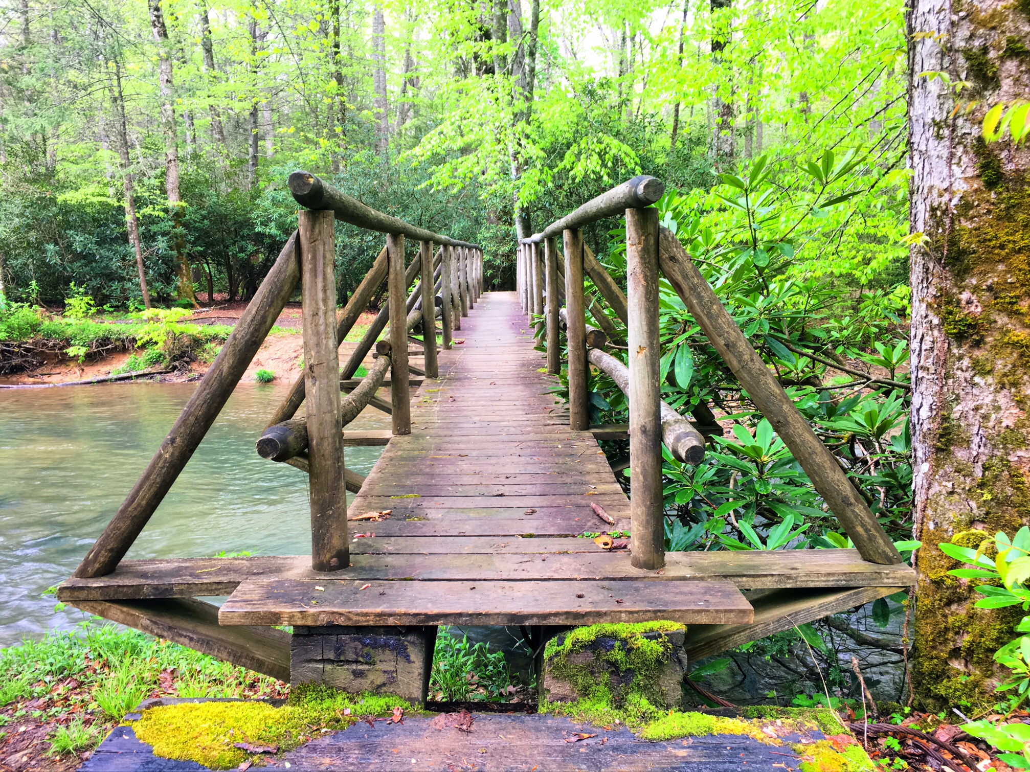
This is a cool footbridge I crossed over a river this morning.

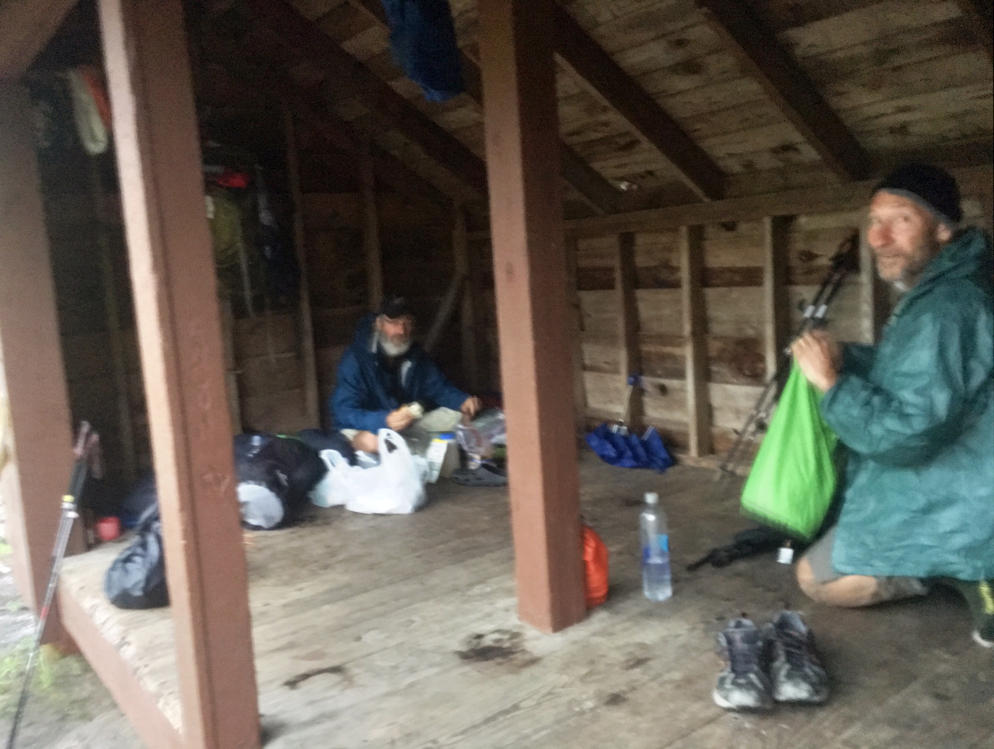
This was posted on a shelter I stopped at for breakfast around 8am. A preemptive strike…but word on the trail is the guy who wrote the sign snores and doesn’t know it !

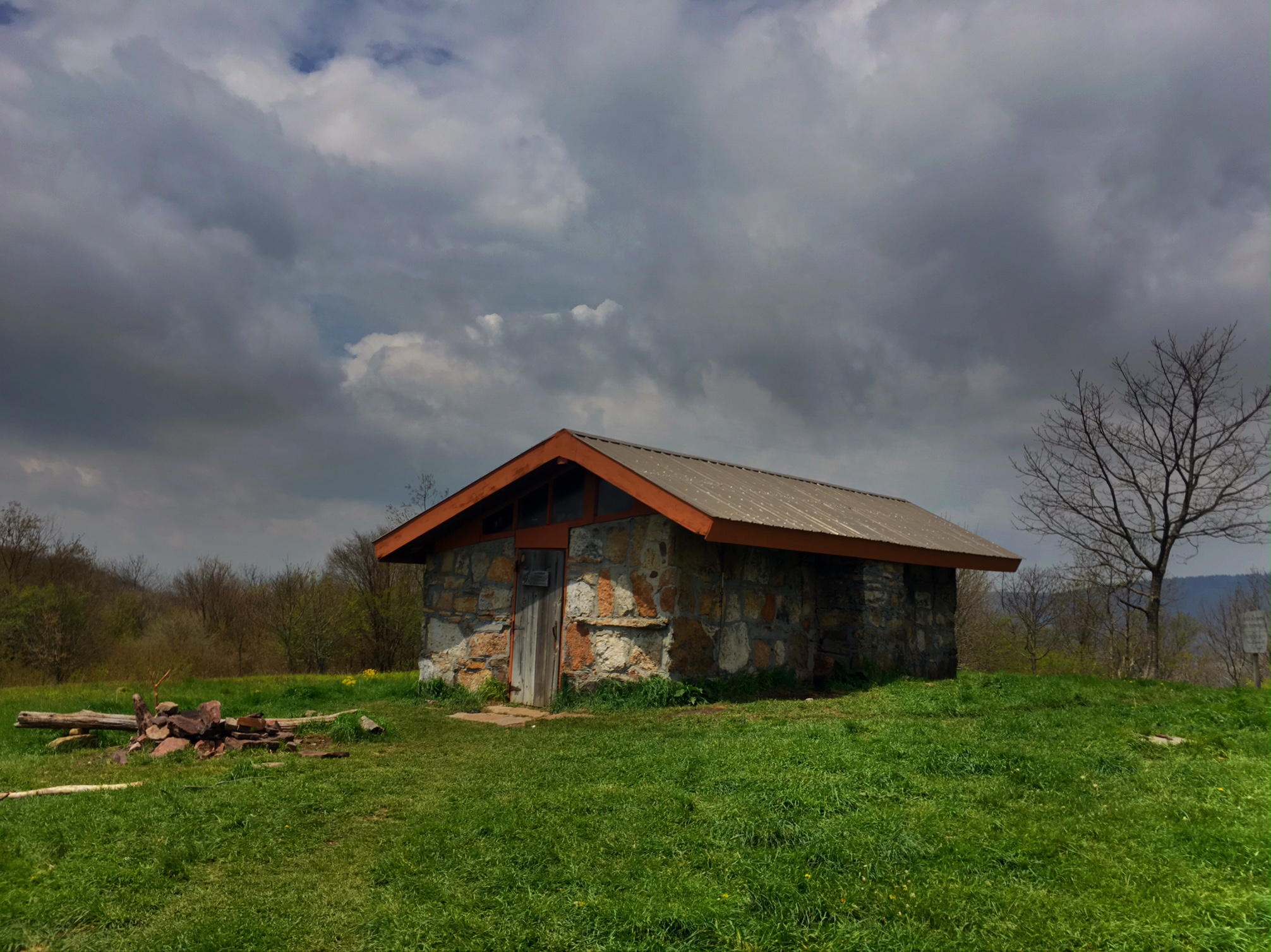
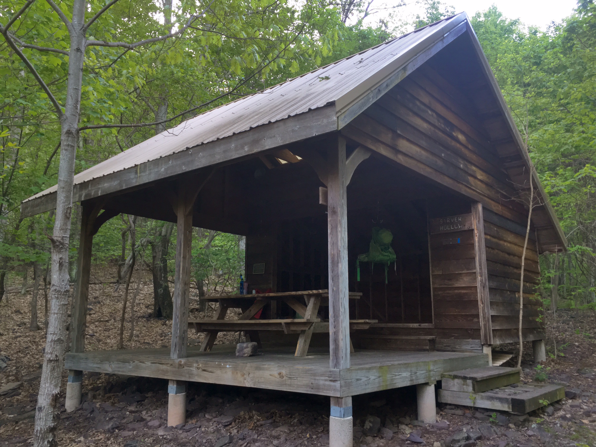
This is the Chestnut Ridge Shelter on top of a 2000′ climb. A great lunch spot out of the wind (fully enclosed). I think high winds are fairly regular…the roof was being held onto the structure with thick metal cables all the way around.
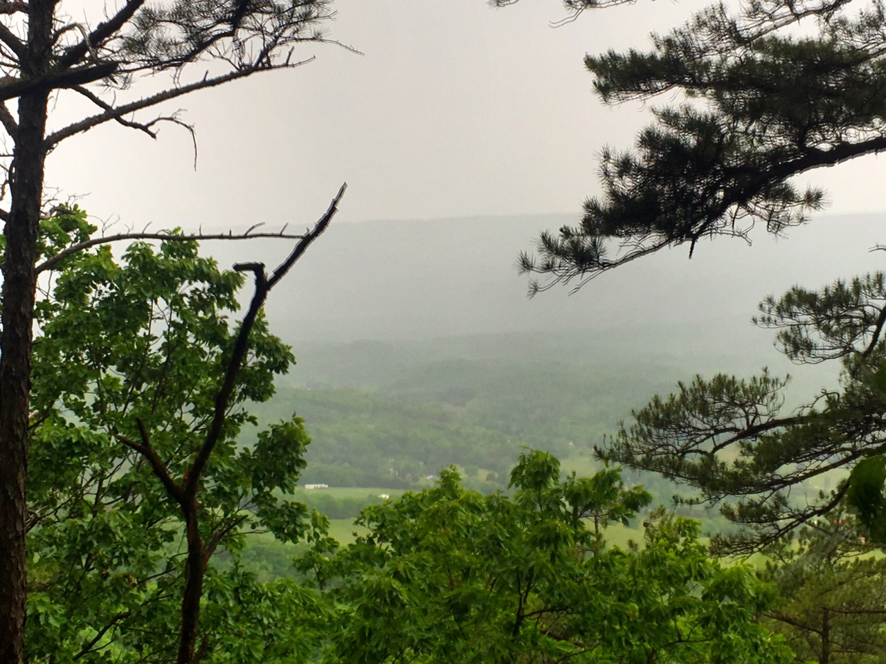
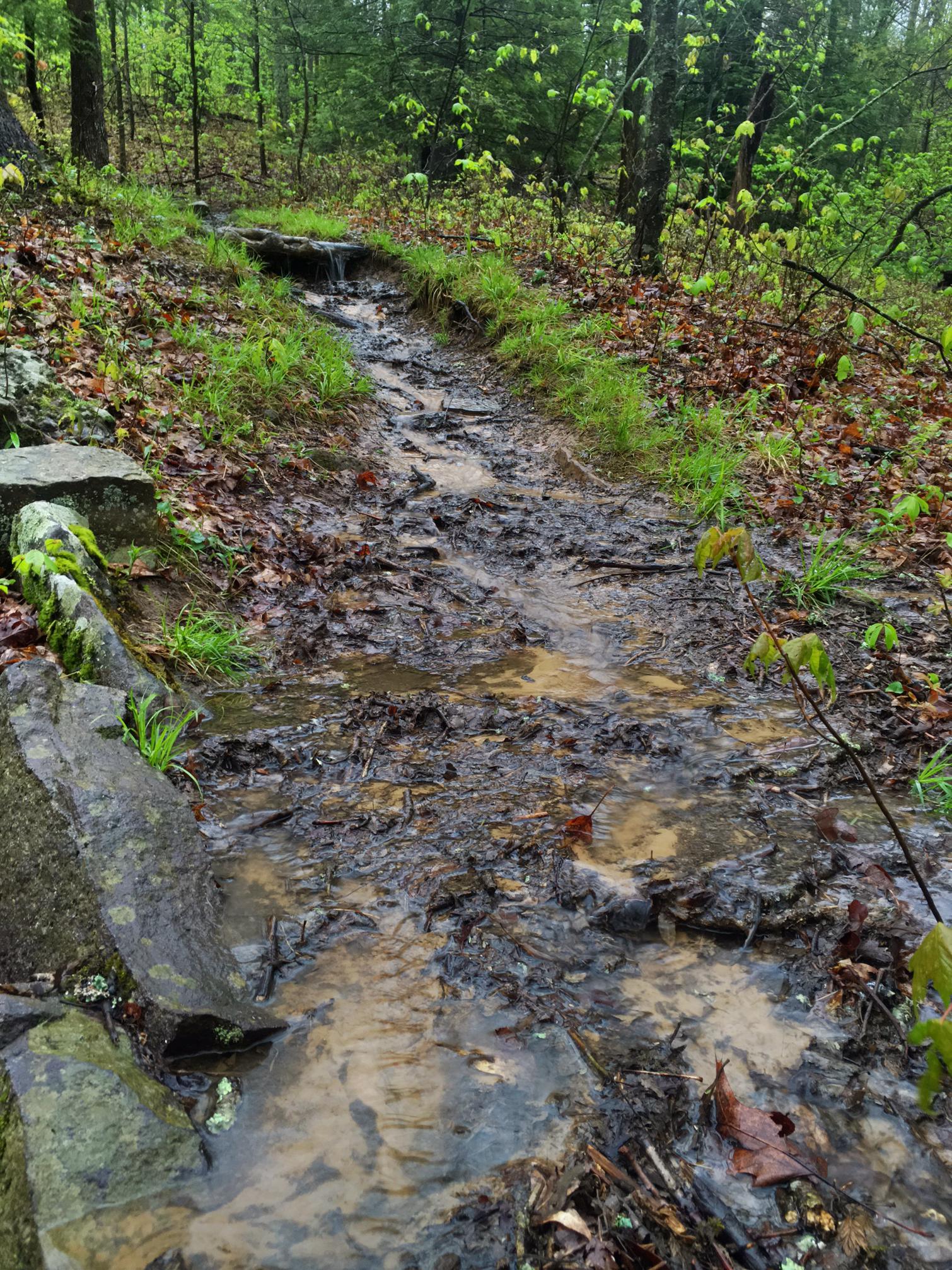
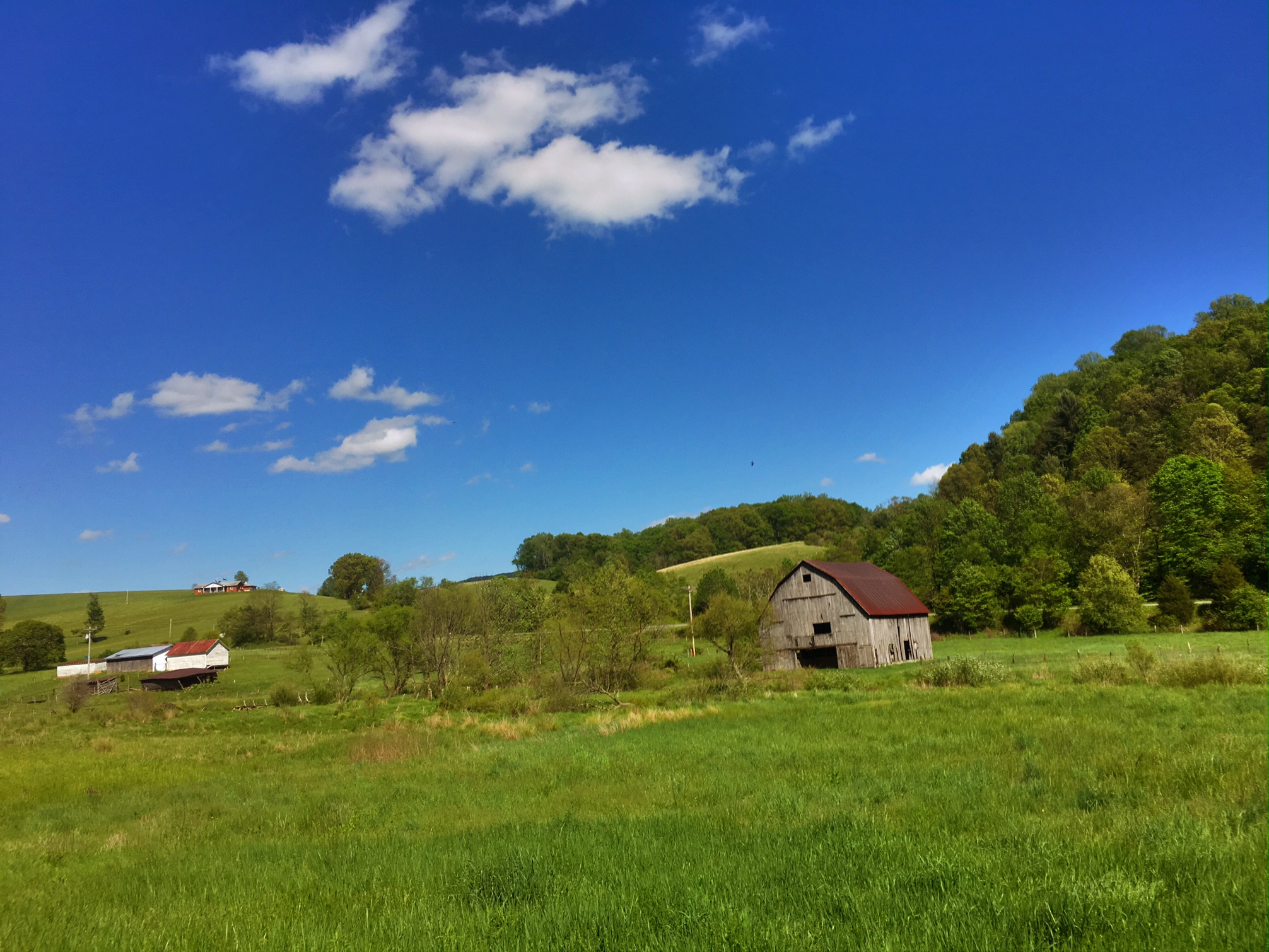
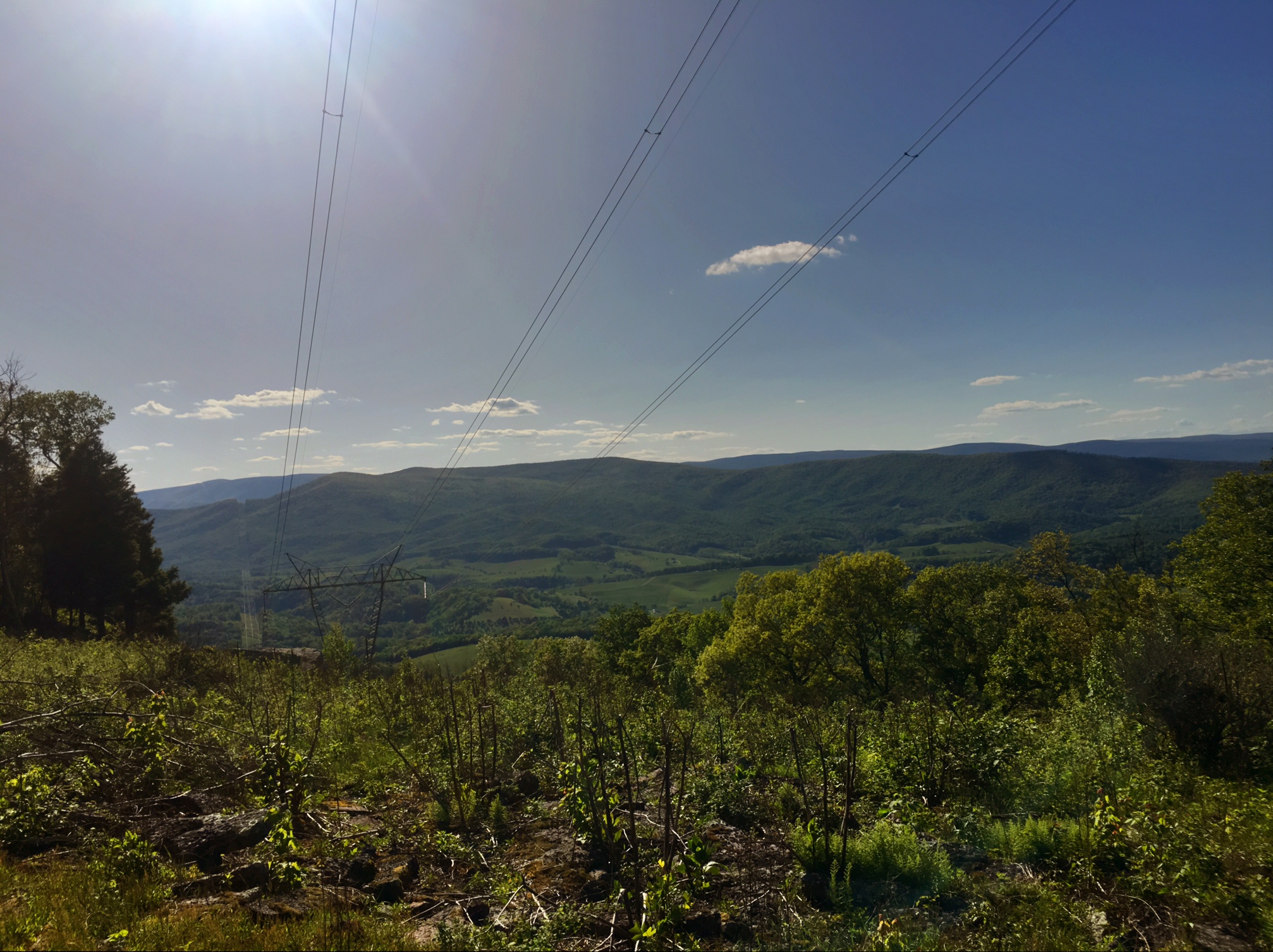
Unfortunately, it was either hazy or treed-in most of the day obscuring the views…so not too many pics today.
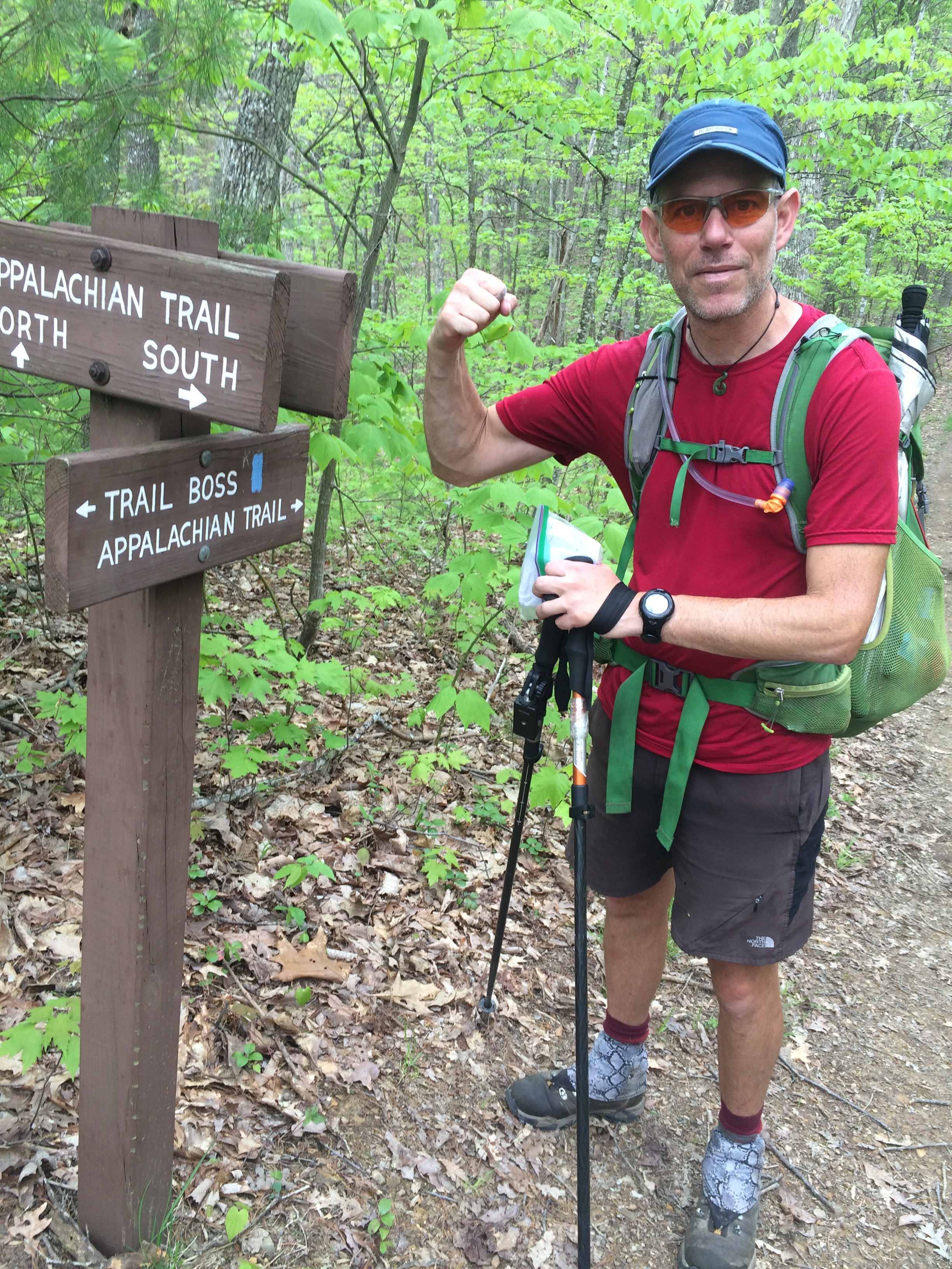
I thought I’d take some time to explain my typical routine:
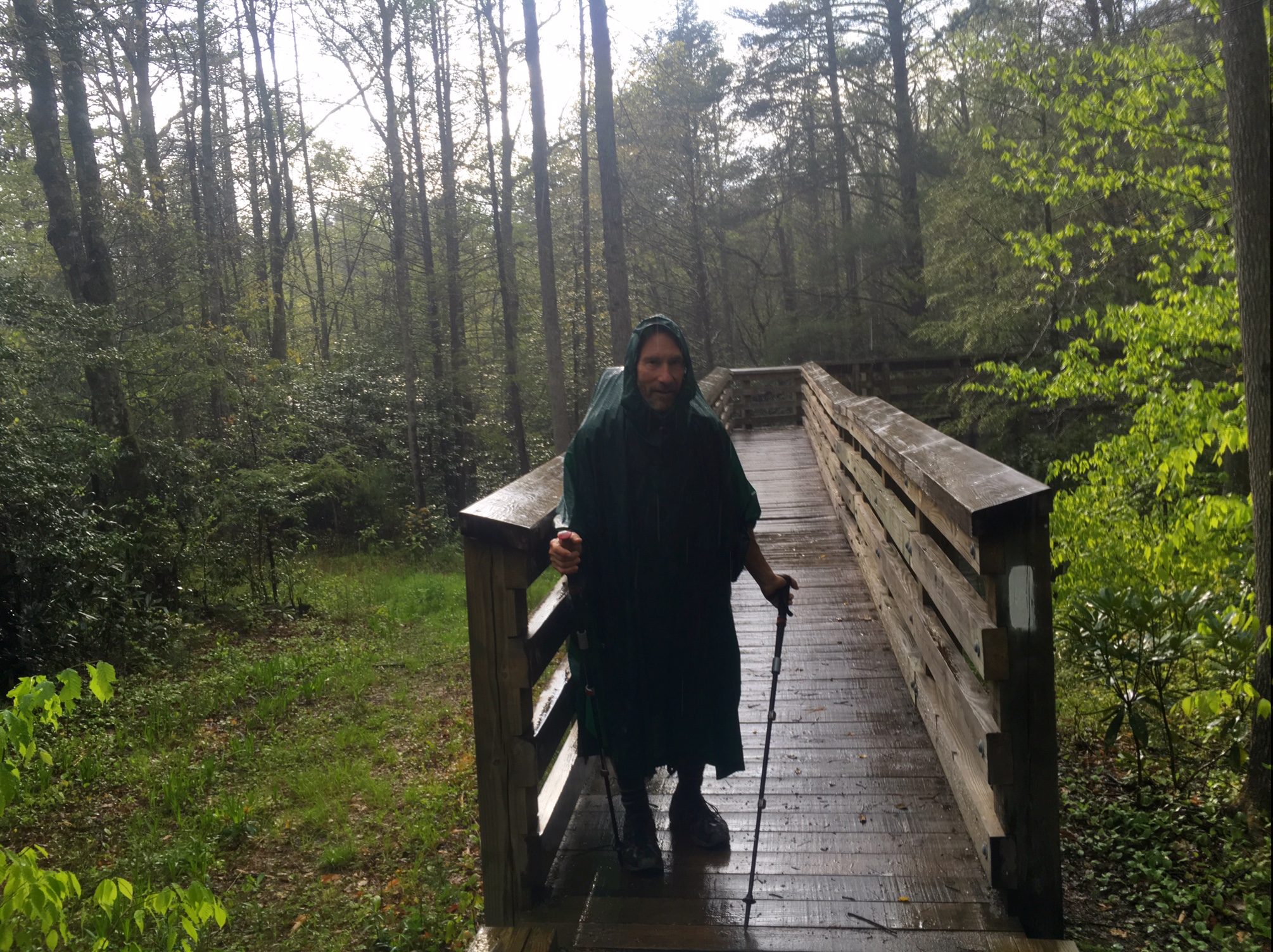
Generally, I wake up ~6am (when sun comes up now) and lay in my sleeping bag until 6:15-6:20. Then I get all my gear packed up and organized leaving snacks and lunch food accessible for the day. Rain jacket stays on the outside of the pack for quick access in case of rain or wind (although I just use my umbrella for most rain). I have one liter of water filtered the night before with some bug juice powder added.
Recently, I have been able to wear shorts and t-shirt in the AM with my cycling sleeves and sometimes my rain jacket to keep me warm, and I’ll wear a buff on my head/ears and maybe gloves if it’s chilly. By mid morning I can shed most of the layers keeping my sleeves on because I can slide them up and down.
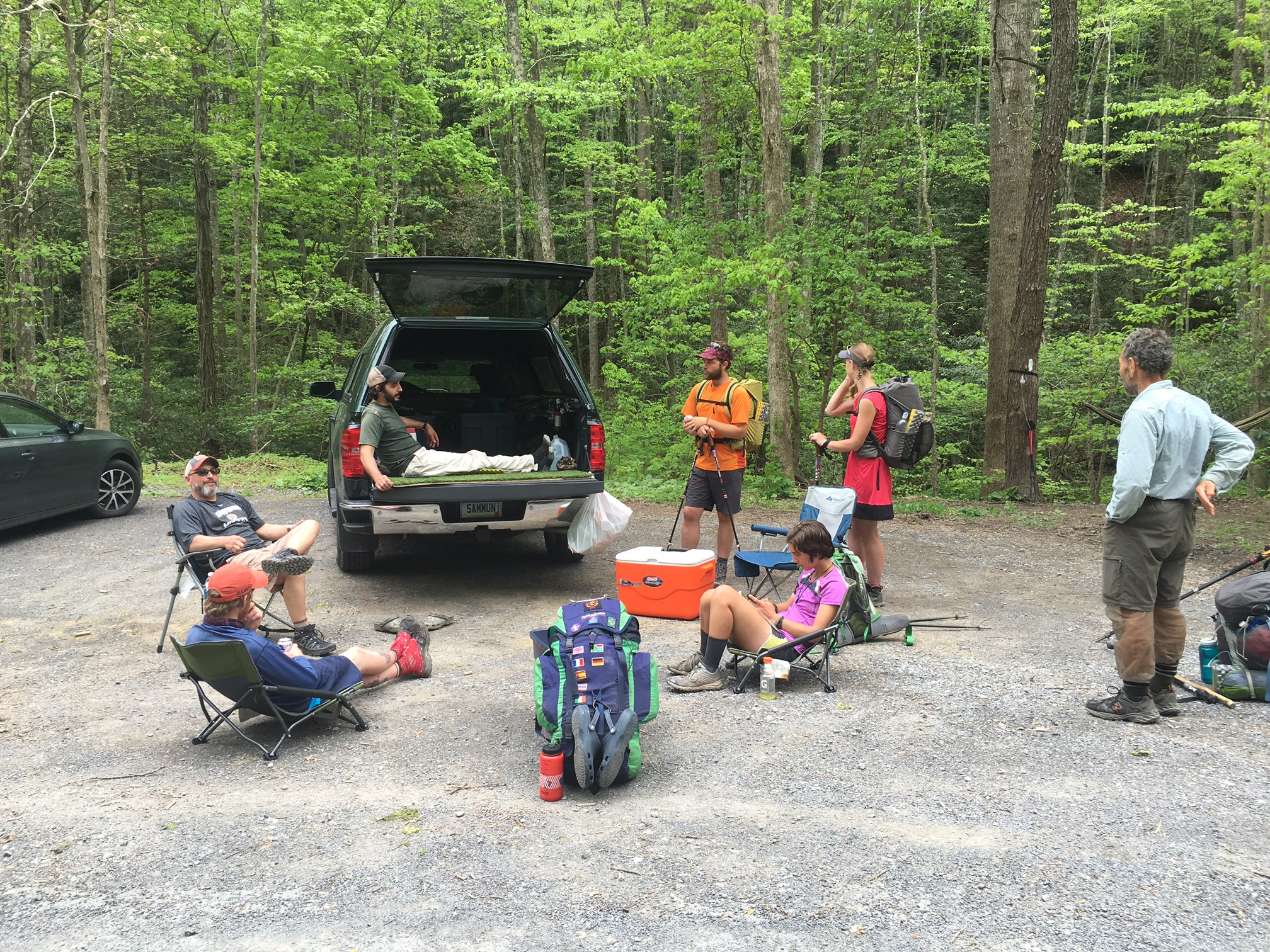
I’ll eat a granola bar while I’m walking and stop for some more food at 9/9:30 at a shelter or a nice creek. Then I’ll push on with minimal stops until about noon depending on what’s ahead. Most days I will do lunch between 1:30 and 2:30. This is usually my longest break of the day, ~45 mins. Any longer and things start to cease up.
I’ll tend to take some short breaks for water filtering or at a view point / rd crossing etc. and most days I will be at camp between 6:00 and 7:30. After setting up, eating, filtering water I will write in my journal until about 9pm. Then I will go in my tent and relax and write the daily blog post on my phone and read my saved online NY Times (I can usually download it at lest every’ other day). I’m usually asleep by 10:30.
The hiker named Lucky I met a couple weeks ago who thru hiked last year at age 72yr had a good philosophy…
Thru hiking is like a job and you make your big money before 8am and after 5pm
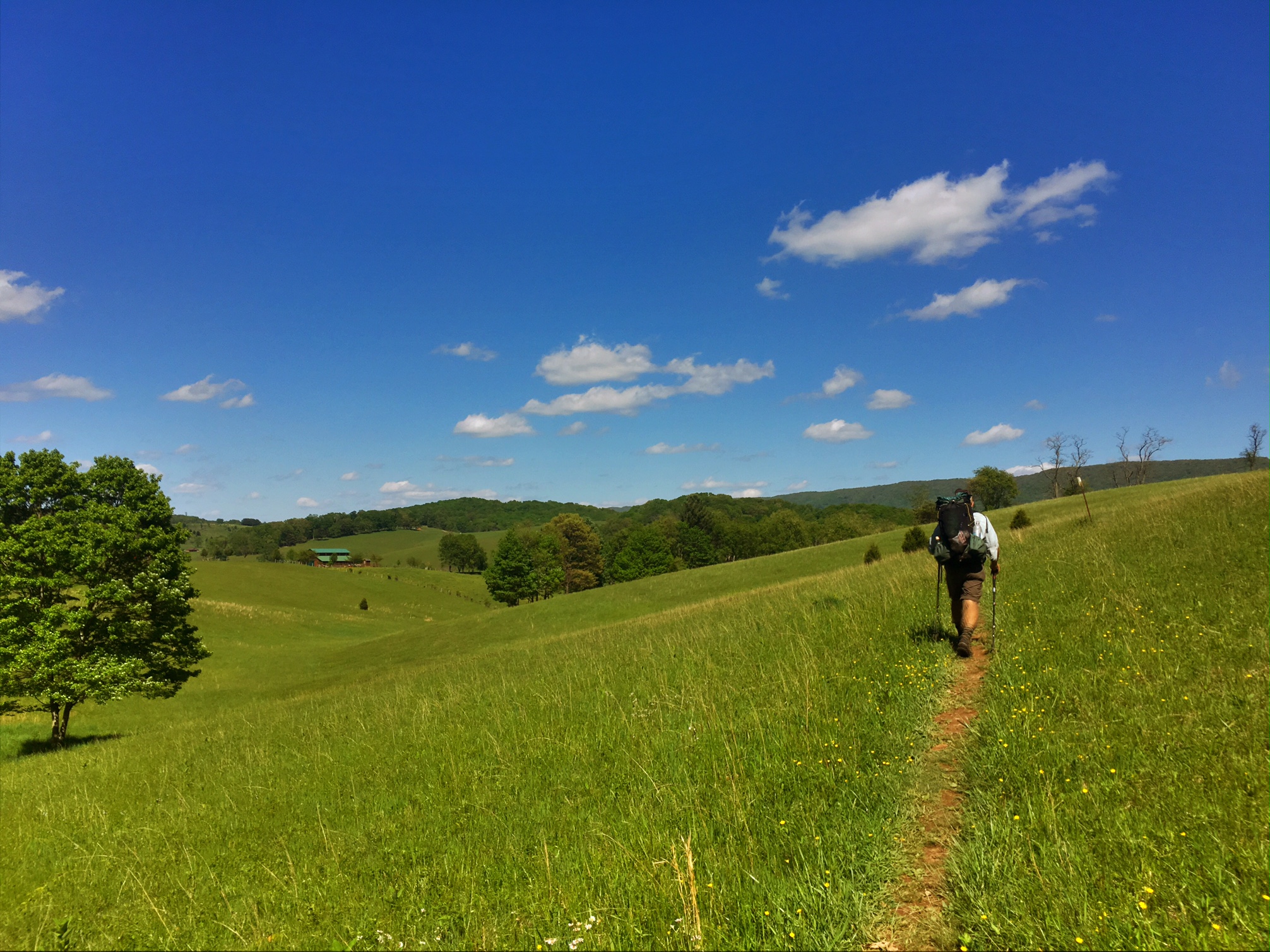
I think this captures it perfectly..most days I am doing 8+ miles before/ after these times, and that’s how I turn a solid 15 mile day into a big 23 mile day. I imagine with more daylight hours and some easier terrain coming, these distances will go up as well.
Good night


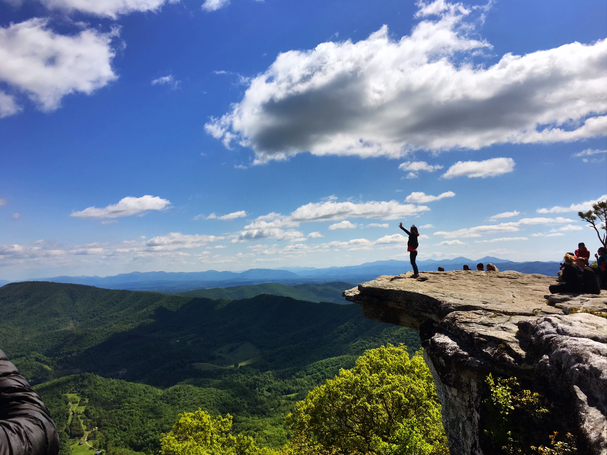


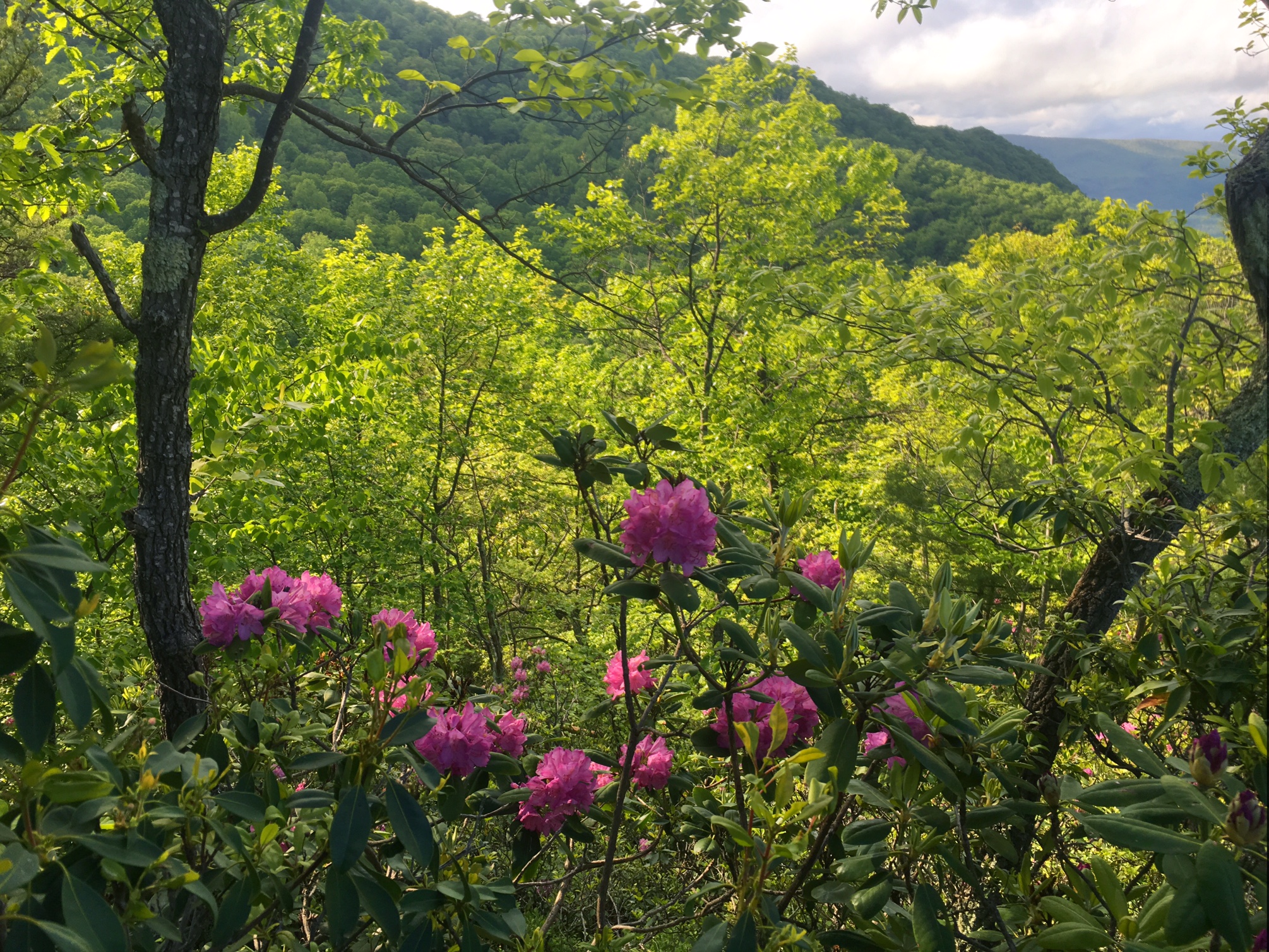


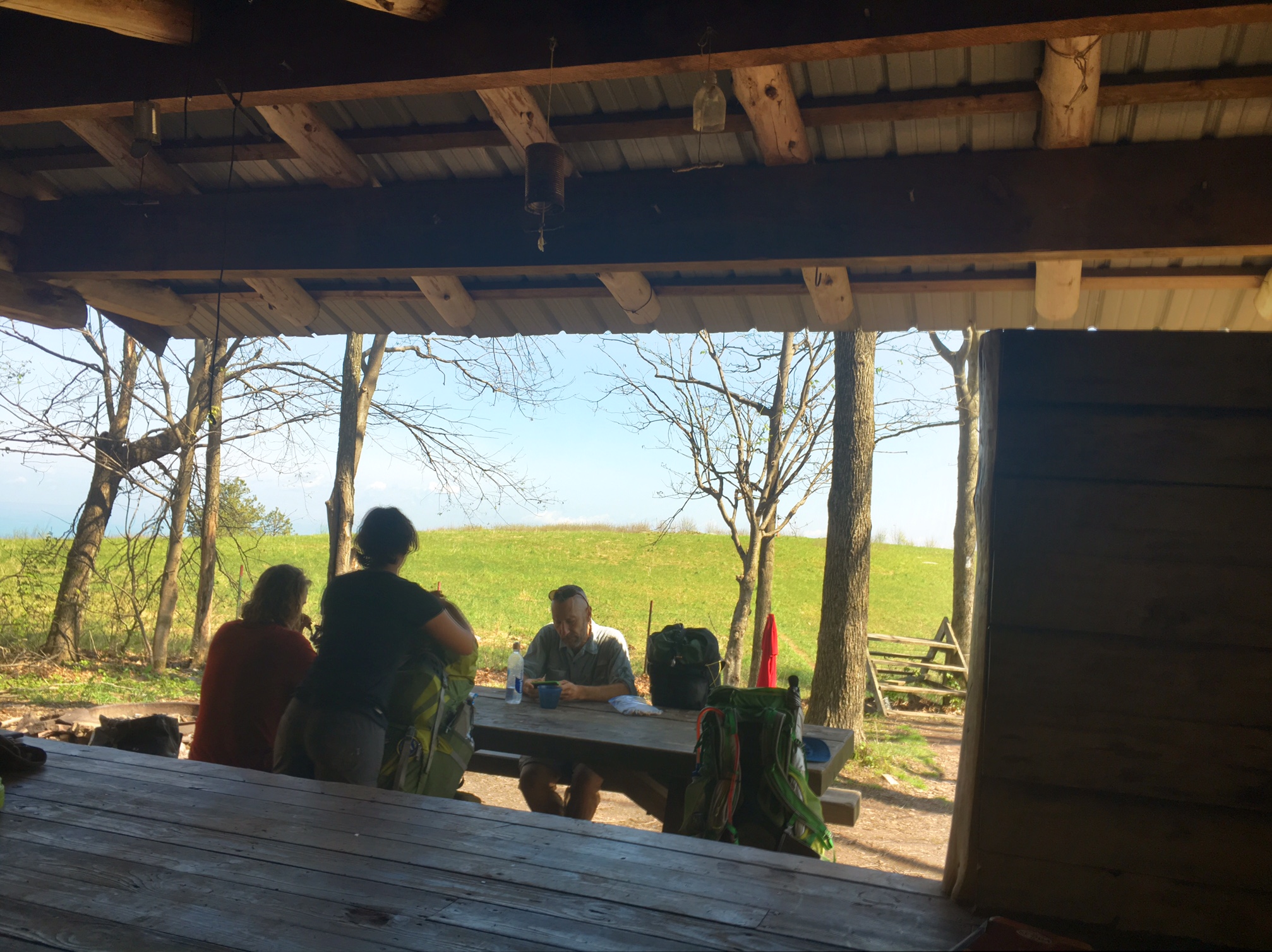
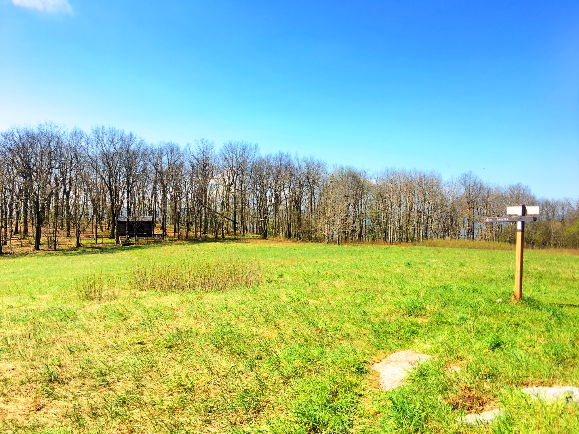
 One of the best settings for a shelter I’ve seen so far!