Day 14, 4/19: Mile 203, Mt. Collins (20mi)

Another great day for hiking. This is a view from the much sung about Rocky Top, Tennessee

View from other direction as the sun rises higher in the sky.

I love these shelters…a great rest stop.

If you look close there is a tarp hanging in front of the shelter, I think it’s to trap heat at night to keep everyone warmer…most shelters in the Smokies seem to have them.
Salty Pants doing the water filtering ritual.

Feels like a haunted forest.

On top of Clingmans Dome, the highest point on the AT (6667′). Got to love the funky 1960’s ramp and observation tower.
View from the top
We were like celebrities…this family from Mass. wanted a picture with us.

Definitely a long day at 20 miles with a fair amount of elevation change. Took 12 hours from shelter to shelter with all our stops.

Day 13, 4/18: Mule 183, SpenceField (19)

Started the morning networking a ride from the hotel lobby at 7am. George and Barbara were nice enough to drive Salty Legs and me the 2mi to the Marina where we left the trail yesterday. They were quite excited to talk about the AT and hiking.

Barbara and I at the start of a beautiful day.

View from the marina.

This is the AT shelter at the dam known as the Fontana Hilton. It sleeps 24 and has free showers nearby. (The Fontana lodge was way better though 🙂

The famous Fontana Dam (great scene from Fugitive was filmed here).

Entering Great Smokey NP !

Views from the first climb (4000’+ uphill today).

Fantastic trail with blue skies, although it got a bit warm (70’s ?)

One of the awesome GSMNP shelters.

Tomorrow we will go over Clingmans Dome, the highest point East of the Rockies.

Day 12, 4/17: Mile 164, Fontana Dam (11mi)

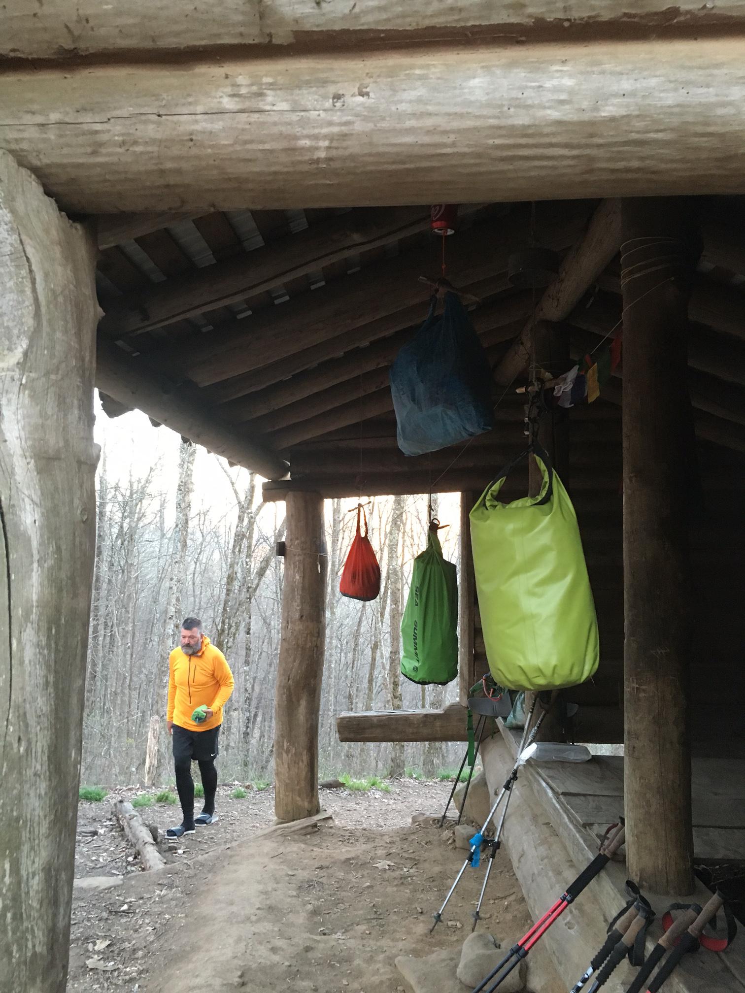
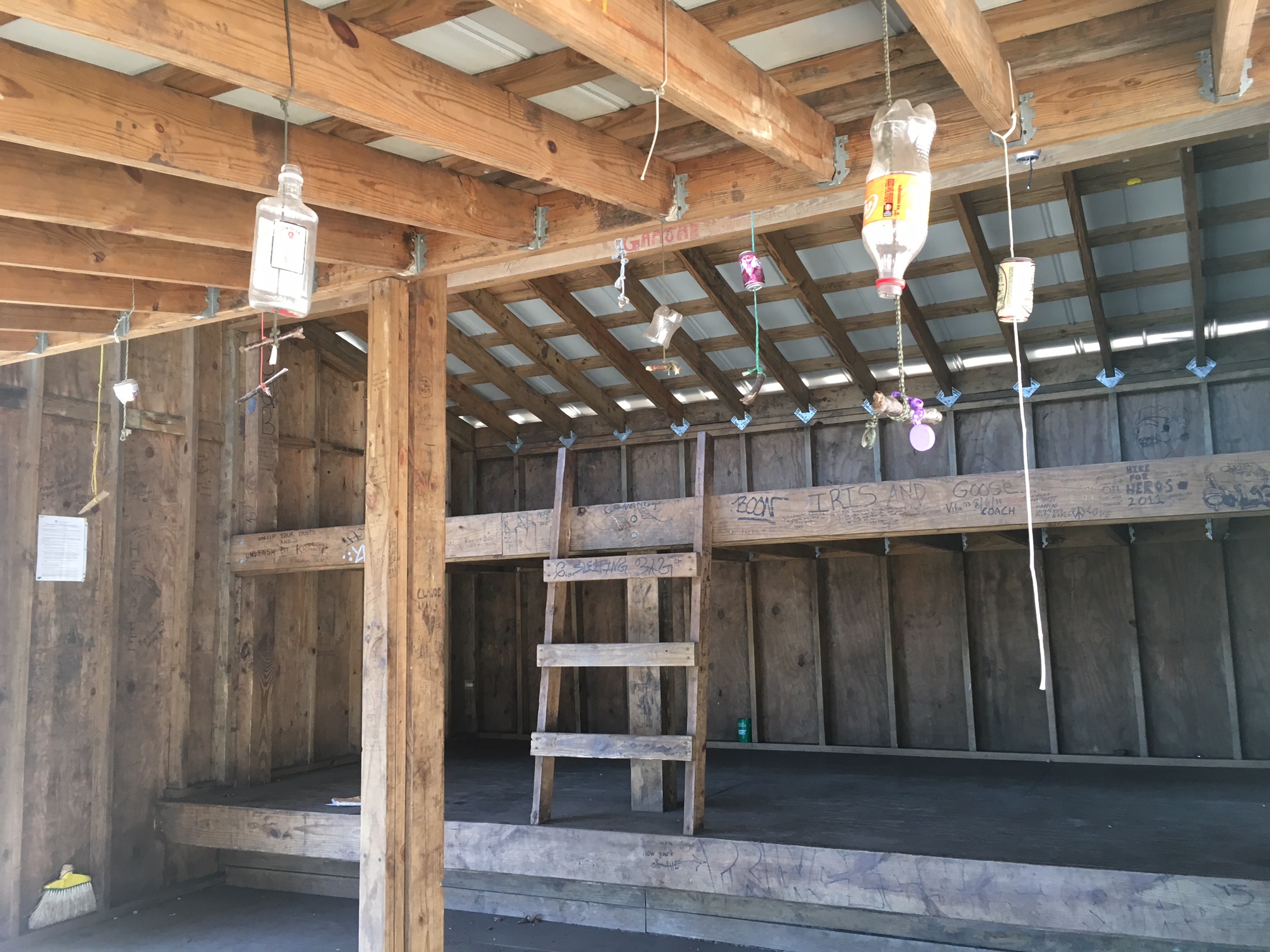
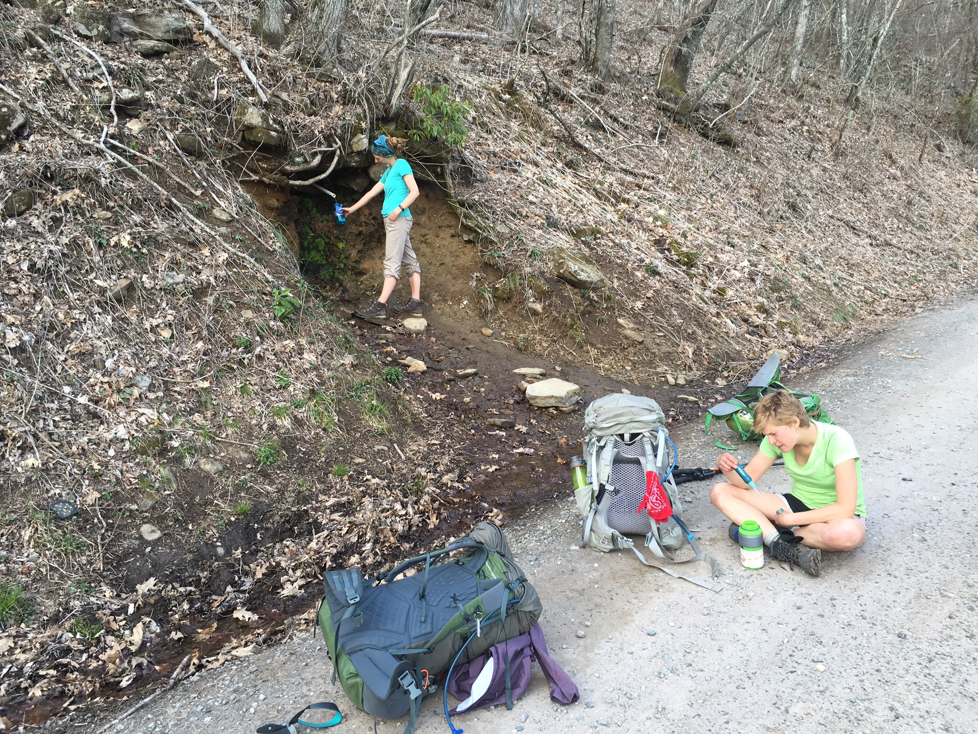
The answer to yesterday’s trivia question…the odd Blair Witch looking objects hanging from the rafters at the shelters are to hang your food from to protect from mice. The cans and bottles are strung above (hard to see in this pic…look at yesterday’s) to keep the mice from climbing right down the rope onto your food bag.

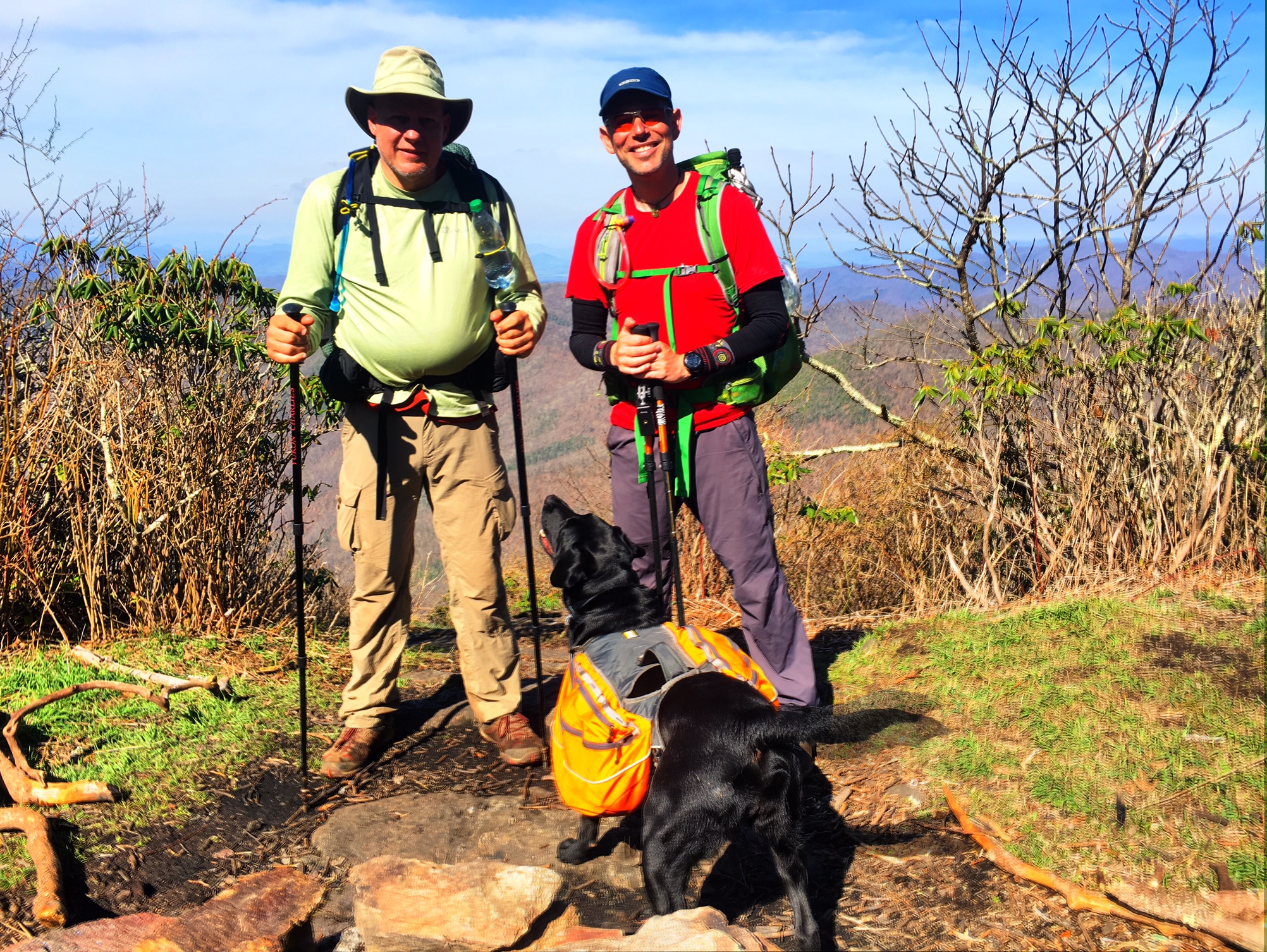
This is Chicken Feathers, he’s 72 and has been cranking out the miles. I saw him 5 days ago and he’s right on my tail and I’ve been pulling some bigger miles the lay several days.

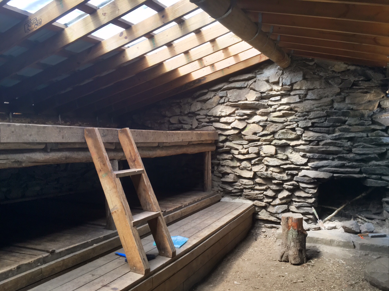
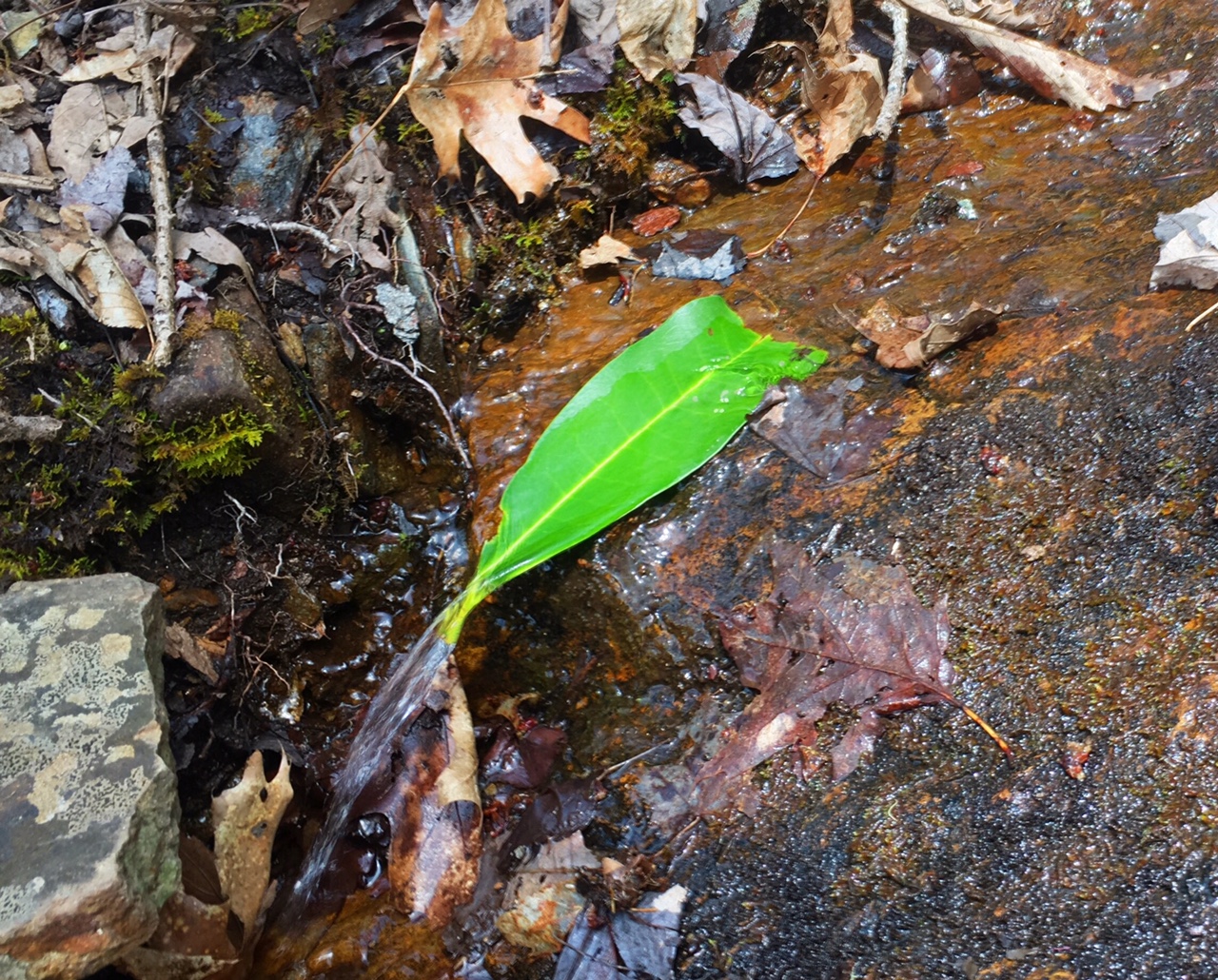
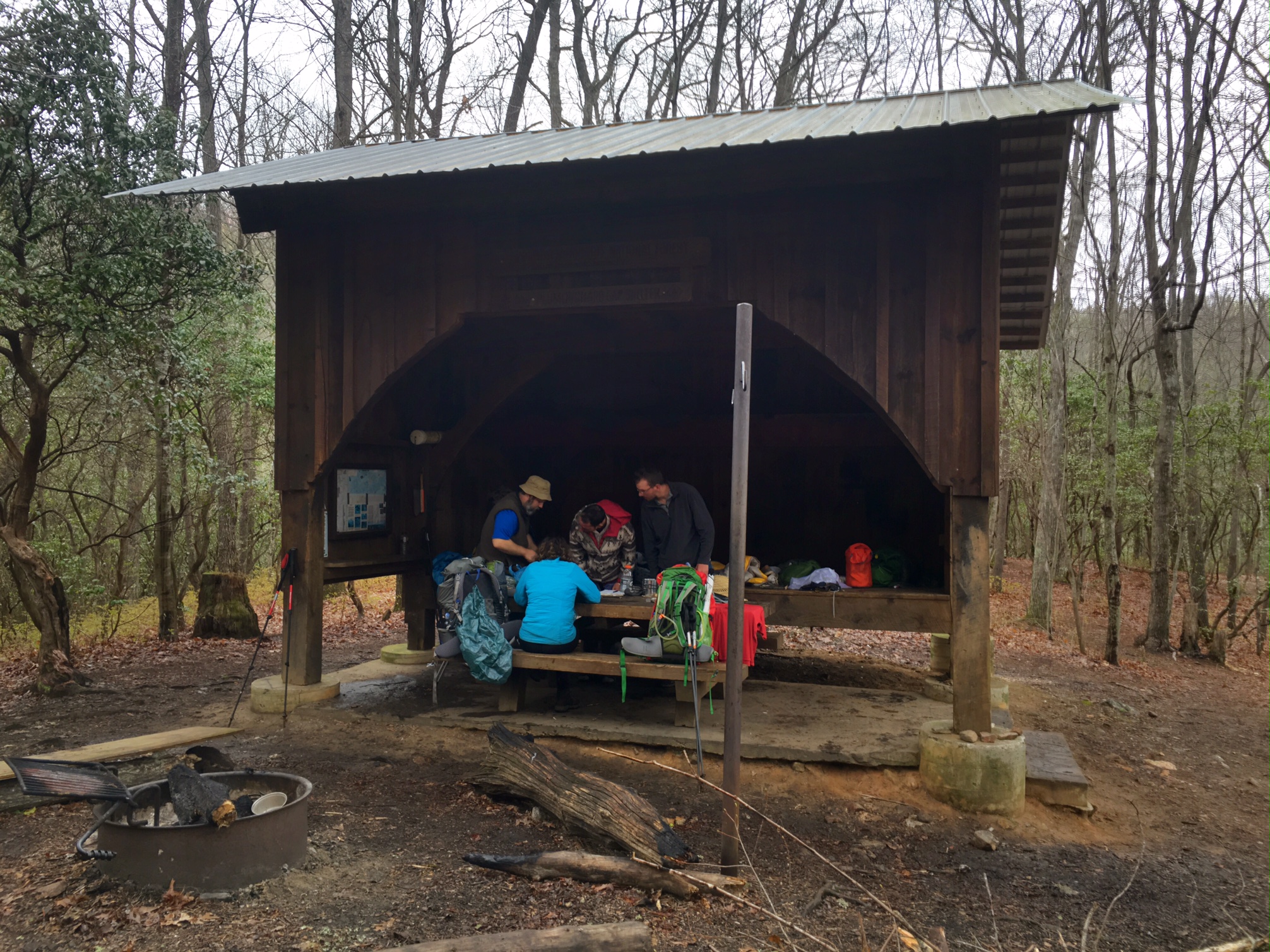
One of the older shelters made out of logs…a great place for a rest break next to a quiet stream.

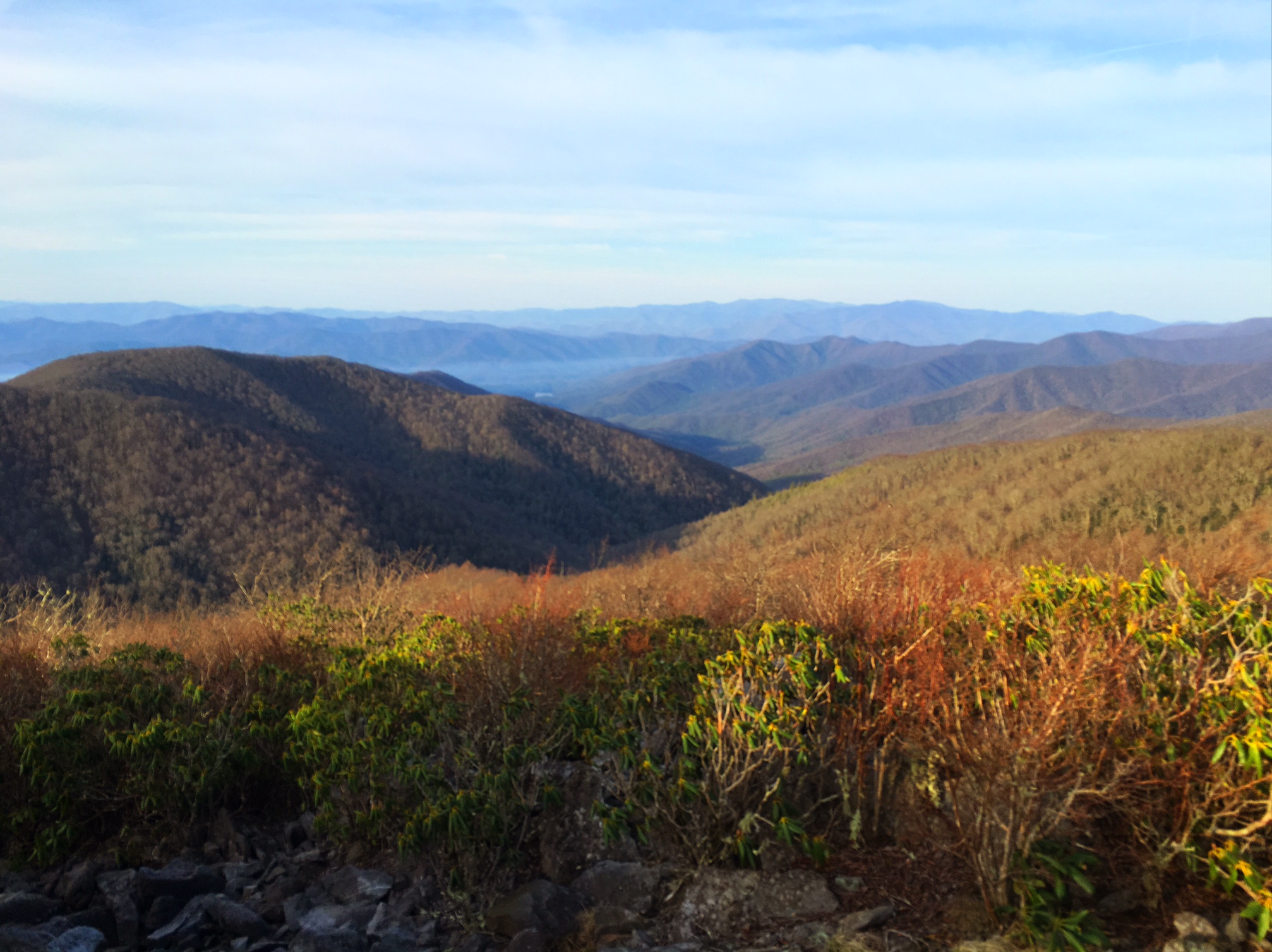
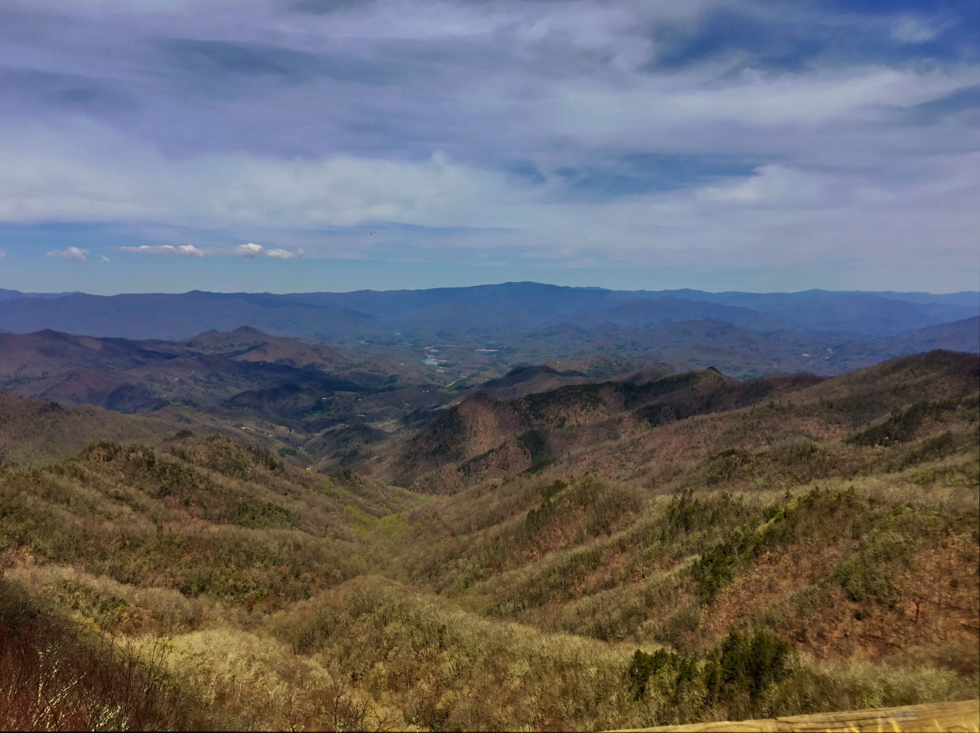
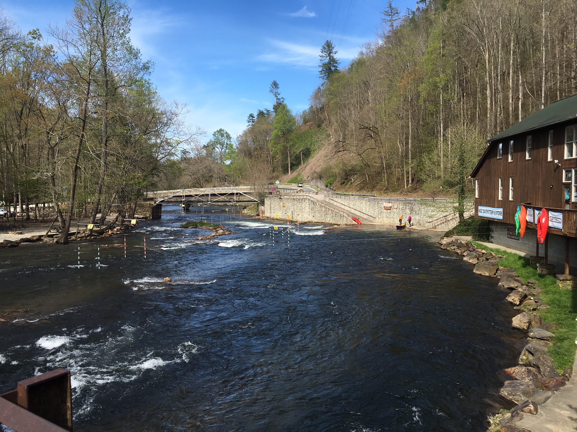
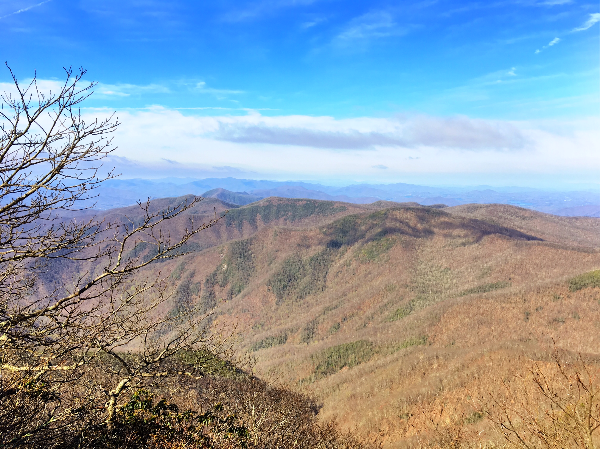
Our first view of Fontana Lake, the gateway to the Smokies.

After busting out 11 miles by 12:30 and descending 3000′ to Fontana Dam, it was amazing to find trail magic in the form of delicious watermelon 🙂

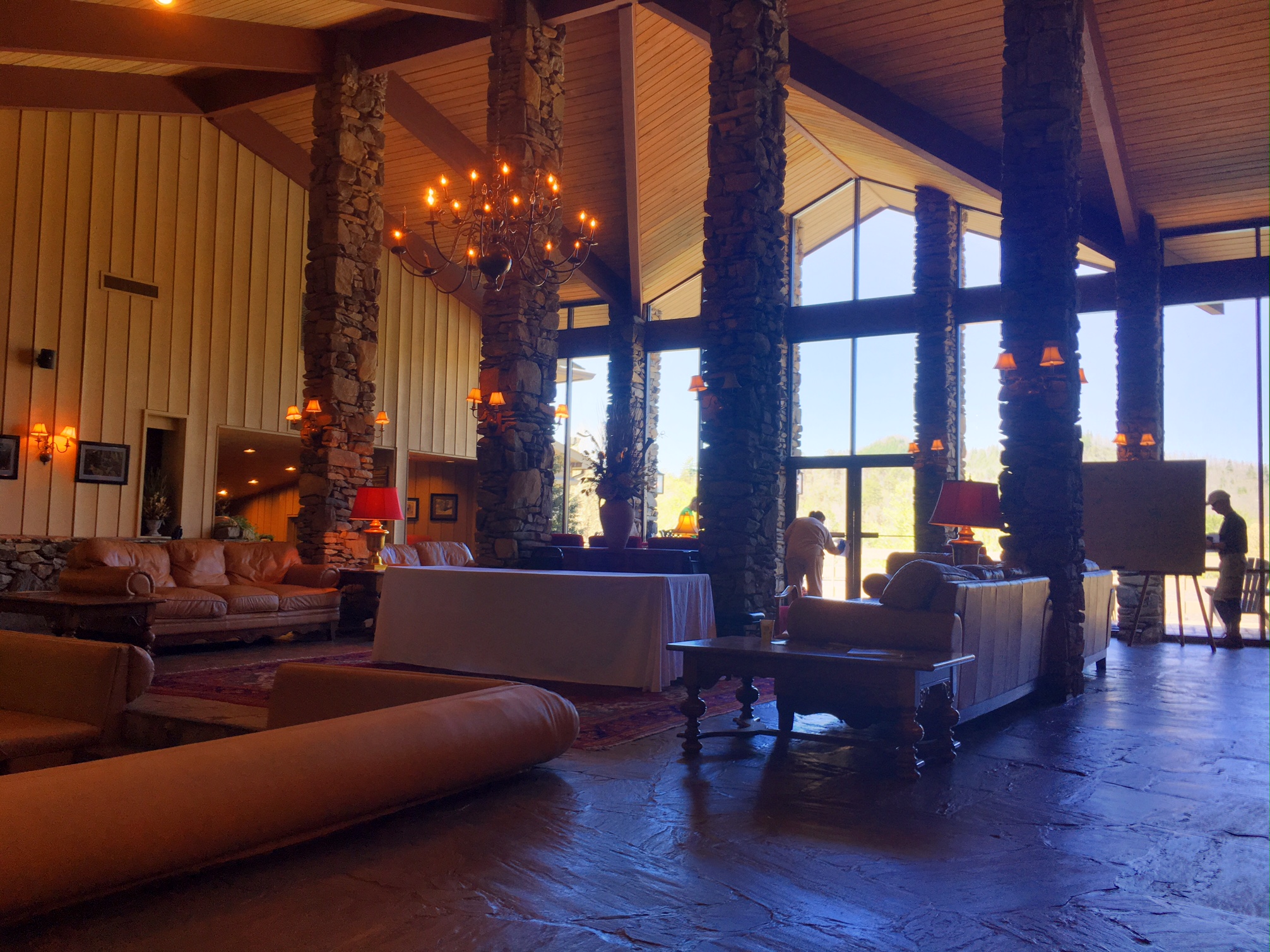
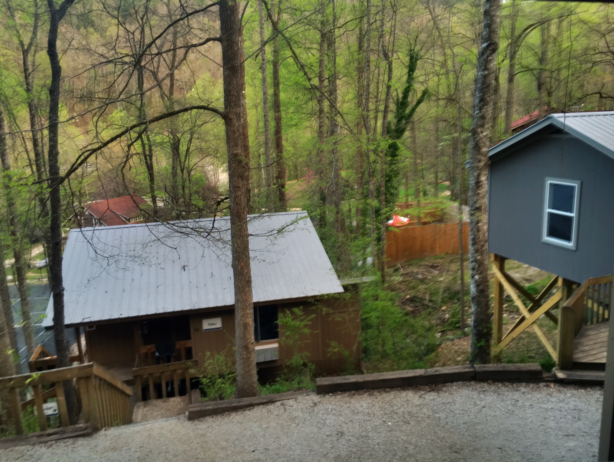
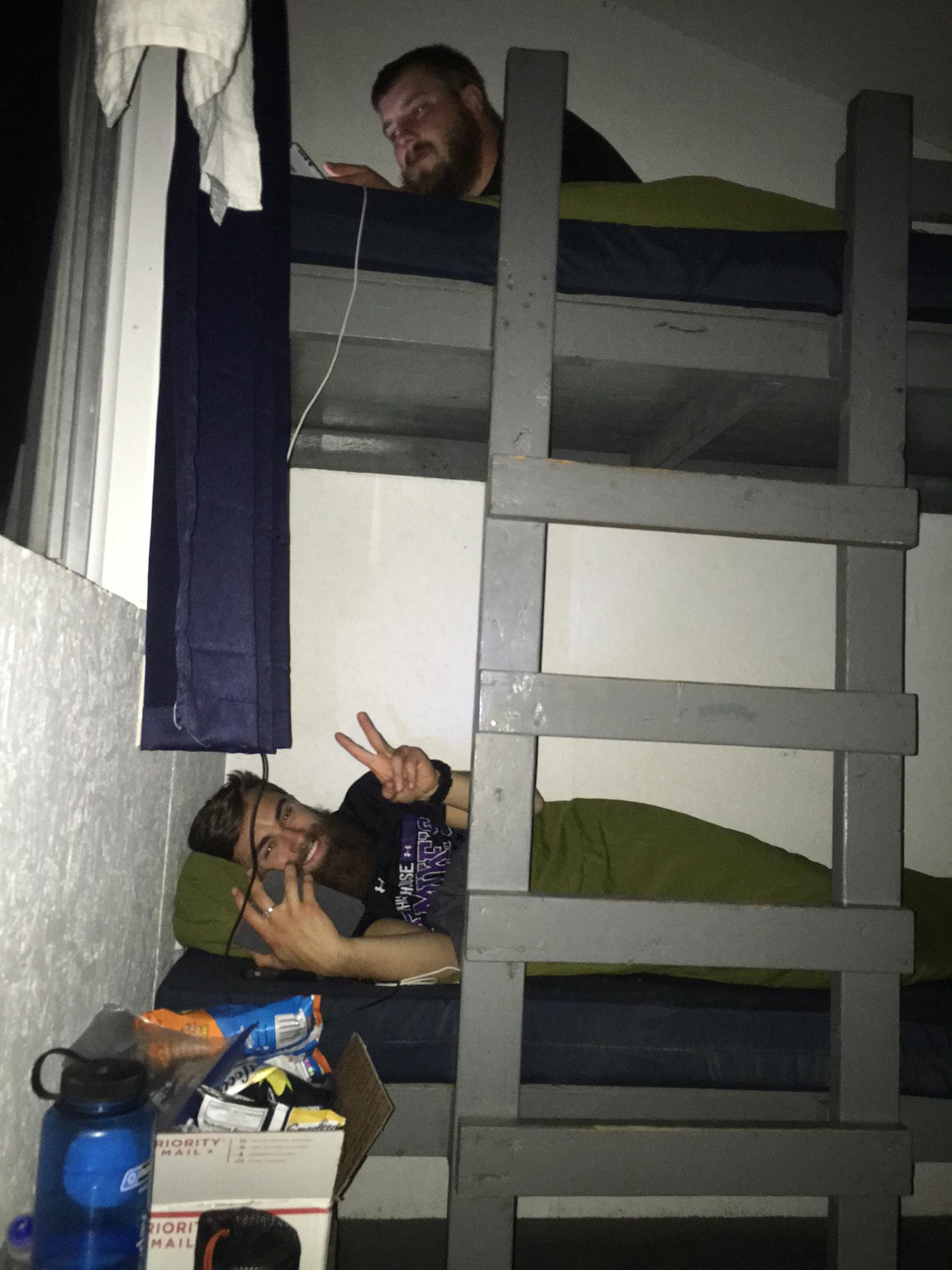
The lobby of the beautiful Fontana Lodge. They offer a great thru-hiker rate (kind of a shoulder season now) so I treated myself and shared a room with Salty Legs (picture to come).

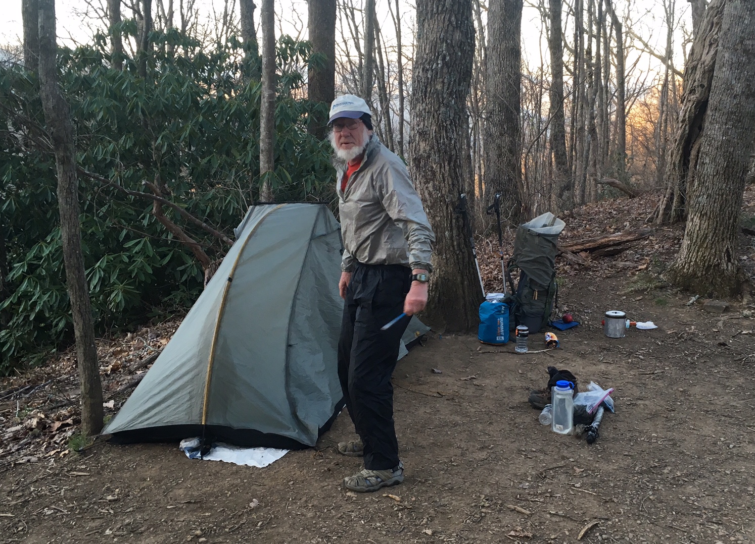
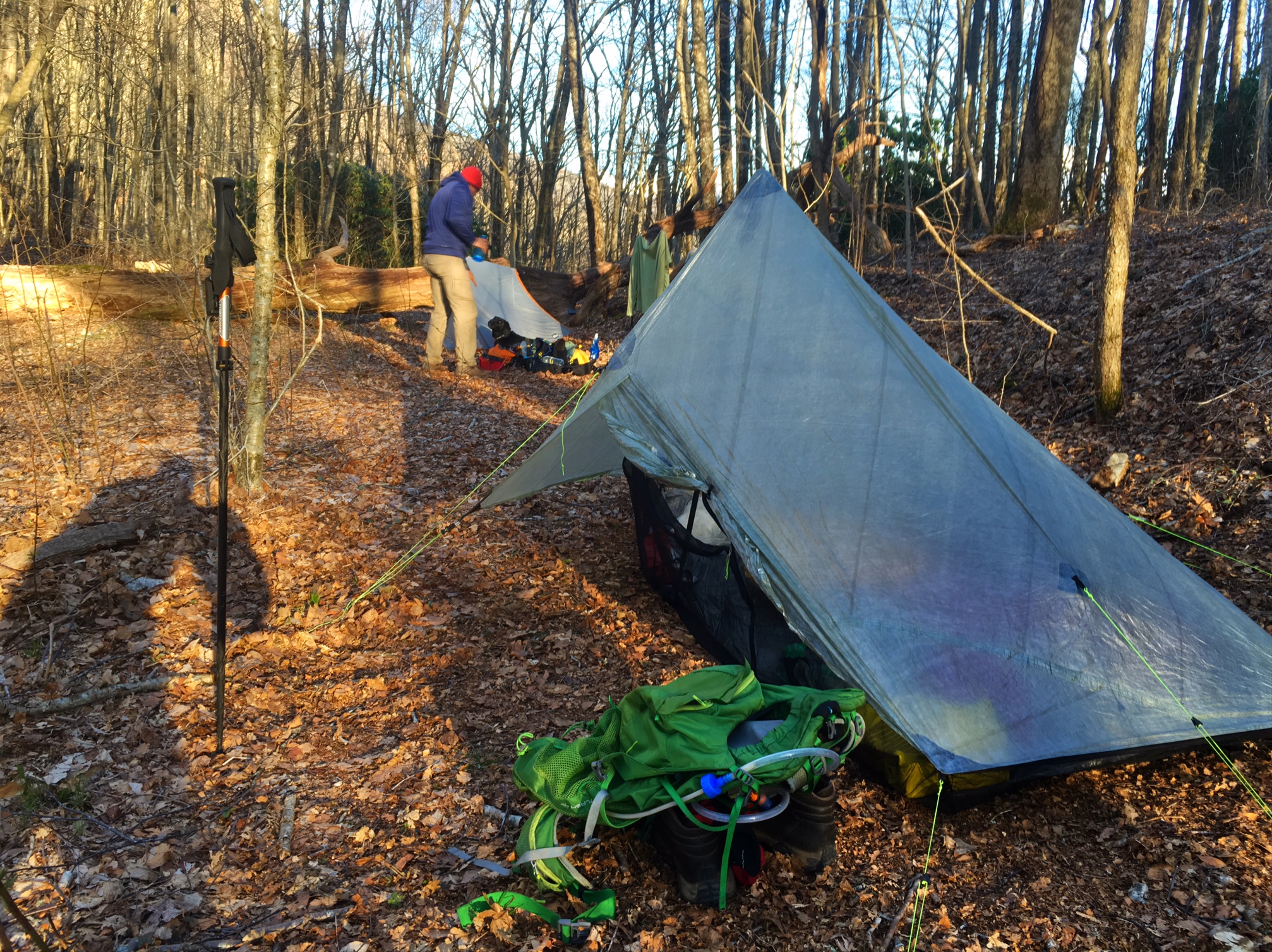
Quite the contrast to last night’s shelter, but I enjoyed them both in their own way.

The hotel pool with the Smokies in the background.

Before

After!
I spent most of the afternoon eating, doing laundry, taking a shower and organizing food for the next 6 days (which Andrea was nice enough to ship ahead to me…thx Andrea!)

Andrea even included this cute Bug Juice card she made in my package. I plan to get it laminated and hang it from my pack 🙂

This is a hiker box (things hikers leave behind for other to use as in food or gear). I always laugh at seeing all the bags of unidentifiable white powders…does anyone actually take that stuff? I grabbed a snickers bar (wrapped) and some seam grip.

We were told there be a cookie and punch social for hikers at 7pm. They didn’t tell us that there was a group of senior citizen hikers here for the week and we were their entertainment for the evening (Q&A style). It was fun and they were really interested in our experiences. This is a picture of thru hiker Diesel (62yrs old) talking to the group while holding about 10 giant cookies…he swore he was taking them back to share with the other hikers sleeping at the shelter. I’m dubious!

Day 11, 4/16: Mile 153, Brown Fork Shelter (16mi)

Today was a tough day. There was a lot of climbing s you can see in the profile above (started at red dot and finished at orange shelter on far right). Plus, temps were getting warm and sun was beating down. The last steep part right before the shelter was a beast:..it’s called Jacob’s Ladder.

The picture above was from a memorial to a forest service worker. I really think hikers use it as a place to dump unwanted gear, i.e. the useless fork/spoon/knife Swiss army contraption. How do you use the fork and knife at the same time?

A cool section of trail…literally.

Another water bottle filling station, using a leaf scupper.

Someone was nice enough to provide a hose at this trickle.

Can anyone tell me what’s hanging from the rafters and how it’s used? …the prize is a shout out on my blog (I have like 50 followers!)

Trail Magic at Stecoah gap, plus a nice view.

My first night sleeping in a shelter. When I arrived at 6pm I was the only one, then a coupe more folks showed up. It is much warmer tonight so I wasn’t as concerned about using my tent to trap heat.

Day 10, 4/15: Mile 137.5, NOC (17.5mi)

I woke up to frost on my tent (on the inside, from condensation) and another incredible sunrise, this time from the Wayah Bald tower.

img 0625

img 0625

It gets better…

img 0627

img 0627


This is the gear explosion inside my tent most mornings. These cold temps exacerbate this problem as almost every piece of gear is being worn or packed while trying to stay inside my sleeping bag as long as possible.

This is how you collect water from a trickle into your water bottle using a rhododendron leaf. It tasted great!

The view from 5000′ with Great Smoky Mtn NP on the horizon.

The very cool viewing tower on Wesser Bald (but those steep stairs were a bit sketchy!) A great lunch spot today.

This is my favorite pic of the day (from the top of tower). The clouds are incredible and Double Time is soaking in the fruits of his labor from the steep climb to the top of the mountain. Zoom in and you an see the giant sweat stain on his DT’s back from his pack…nice!
Double Time is a big guy from Arkansas and has been dreaming of hiking the AT for a long time (he kind of reminds me of Larry the Cable Guy). He started from Springer Mtn. w/ a 57lb pack…ouch! But thinks he’s lost ~20lbs of body weight so far (and 15lbs of pack weight). He got his name b/c it takes him double the time to get his miles in each day…but he’s getting it done.

After a 3000′ descent (miles 10-17 for the day) I arrived at the the famous N.O.C., the Nantahala Outdoor Center, an East Coast epicenter for kayaking and rafting. Plus they have real food, a small general store, laundry and cabins for rent.

Our bunkhouse for the night up
In the trees…

This is PBR’s and Grizzly Adams from Otis, MA. getting settee in for the night. I’ve been leapfrogging with them on the trail the last several days and we shared a bunkroom tonight. It was fantastic getting a hot shower and not having to wear a hat to bed.

It’s late now…time for bed 💤💤

Day 9, 4:14: Mile 120, Wayah Bald Tower, (20mi)

I woke up and got out of the tent for this spectacular sunrise:

It took about 20+ minutes for the sun to finally pop over the horizon, but worth the wait!

I must have jinxed myself by writing about how I haven’t had any real serious foot issues. I was hobbling out of camp this morning. The top of my left foot really hurt and I couldn’t figure out why. I stopped at a shelter about 2.5 miles up the trail to eat and assess the situation. The late departure hikers at the shelter still had their AM fire going which was nice to sit by and stay warm while I inspected my foot.

It looked like the top of my foot was bruised near my big toe, and the cause was likely the big metal lace eyelets on my boots were putting pressure on my foot whenever my foot flexed. I implemented a trick I saw some guy use on the JMT and re-laced the boot skipping the lowest eyelets (the guy I saw was hiking in his Keen sandals and skipped the first 3 eyelets…he was in bad shape!). I also put on a 2nd pair of socks for extra cushioning (I use very thin Darn Tough socks). It was amazing… I was like a whole new person, no pain at all !

You can see the eyelet I skipped on bottom of shoe:

There was some nice Trail Magic at the Winding Stair Gap road crossing. An older gentlemen drives up from town 15 miles away in his pickup and had OJ, coffee, fresh fruit and homemade cookies set up on his tailgate. The best tasting tailgating food I’ve ever had. Unfortunately, I forgot to take a picture 😦

Creative graffiti…it should have read “Lick” which is still kind of odd:

These were my trail friends for the day Squeak and Weasel (aka Squeasel). They are from Longmont, CO and Tuscon. They helped me pass the miles for the second half of my longest day so far. Here they are filling up from a natural spring someone was kind enough to pipe out to us along the trail:

I figured if I started the day at a fire tower I should end my day at one as well (especially a beautiful stone one)…

I pitched my tent on the back side out of the Wayah Bald wind:

This is the view from the front side…it should be another great sunrise tomorrow!

Bug Juice – out

Day 8, 4/13: Mile 100, Albert Mtn Tower (16.5mi)

The day started with a relatively easy climb to the highest point we’ve seen on the trail so far, Standing Indian Mtn at ~5400′. The views were spectacular!

Here are my hiking partners for the morning (and last nights camping-mates), Olive and Olive’s Human (aka Rob from Ohio).

Now entering the “Green Tunnel”…

A lunch stop at the Carter Gap shelter…

Nantahala is Cherokee for Land of the Noon-day Sun (I think this is because you can’t see the sun until it’s directly overhead when the trees leaf out)

The last 1/4 mile of today’s 16.5 mile day was a grunt! This was a quintessential AT climb, I’m actually surprised we have experienced this sooner. It was very technical hike up steep rocks and slick roots…

A panorama from the Fire Tower…

I meant to take a before picture of my feet…they are still in pretty good shape. I’ve been experiencing some intermittent discomfort on the top of my left foot (not sure from what?), as well as tightness in my Achilles at the heel which ebbs and flows throughout the day. Hopefully, this get better as I get stronger…rather then worse.

Apparently, I wasn’t the only one with the idea to camp at the Albert Mtn fire tower. This is Kaysa and Jessica from Ohio who are doing their first backpacking trip (a 25 mile loop). They were kind enough to start a fire and invite me to join them. We he a good time chatting until the sunset and when we all went into our tents…brrr! The plan in the AM is to watch the sunrise from the tower. Luckily the sun doesn’t come up until ~6:45am.

Bug Juice- out

Day 7, 4/12: Mile 83, White Oak Gap (14mi)

Luckily, the big rain didn’t materialize and the morning was overcast and a bit damp but nothing too bad. I hitched a ride from the motel to the trailhead around 8:30 (motel shuttle left at 9). Before leaving I got a picture of the motel dog Deeogee….

This is Rooster who gave me a lift to the trailhead. He looked and sounded just like The Dude from the Big Lebowski (with a southern accent).

It was perfect hiking temps inter 50’s and kind of misty….

A 2nd breakfast stop at the 3-level Plum Orchard shelter. ..

Hiking thru the Rhododendron tunnel…

Here I am crossing my first state line: goodbye Georgia, hello North Carolina…

Hiking friends for the afternoon:Eric and Sparkles from Boston at a very cool old tree…

This is Olive and Olive’s Human (aka OH) next to one of my favorite side trail names…

Olive, OH and I found a great camp spot with a terrific sunset at White Oak Gap.

For all the forecasts of 1-2″ of rain we ultimately got next to nothing m and the sun came out for a bit. Lesson learned, don’t plan your days around the weather forecast.

It’s quite a bit warmer tonight with lows in the 40’s…yay!

Day 6, 4/11:Mile 69 Dicks Crk Gap, Hiawassee (11mi)

Woke up to a cool wet morning on top of Tray Mtn…kind of stuck in the clouds.

Not exactly sure what this sign referred to:

The skies started to clear and the sun came out and I was finally hiking in a t-shirt and shorts!

I hitched a ride into the town of Hiawassee about 12 miles away and was doing laundry and getting a shower by 2pm. This is 6 days worth of filth in the sink… wash, rinse, repeat! I hate to see what this looks like when it really starts to get sweaty and muddy on the trail.

Drying out clothes and the tent on the motel lawn.

The gear explosion wasn’t too bad considering three of us are sharing a room: Miles, now known as Makin’ Miles and Zach now known as Go Lucky.

I will take credit for giving them their trail names. I’ve named one other hiker so far; Dave from NH was given the choice of Care Bear or Spirit Bear (his hiking buddy is named Polar Bear and they are both big guys). Dave went with Spirit Bear, especially fitting since he is 1/8 Penobscot Indian.

It’s supposed to be kind a wet day tomorrow so it could be a slow departure from town. It will be a good day to be doing mostly uphill…it keeps you warm 🙂

Day 5, 4/10: Mile 58, Tray Mtn Shelter (14mi)

It was a busy day…I was hiking at 7am (sunrise) and it was just above freezing. The miles were pretty mellow so I made good time (plus I hike fast when I’m cold!). I caught up to Mace who left before sun up and we hiked together for about 5 miles. Then I continued on to Unicoi Gap, 8.5 miles in, to catch a ride into Hiawasee to resupply.

I hitched a ride pretty quickly from
a nice couple from Nashville and was in town just after 11am to pick up my resupply box. I was planning to stay in town but the weather was good so I took two days of food and left the rest at the motel where I could get it tomorrow night by hitching back from another road xing up trail…plus it’s supposed to storm tomorrow night. I hitched a ride back to the trail with a nice guy named Phil who lived in town.

There was some Trail Magic set up right I the trailhead parking lot (soda, hot dogs, cookies, chips), plus some chairs to relax in. I chatted with a couple hikers I’d met who caught up to me (Zack to right of me and Chris and Florian in the back).

My phone/camera was on the fritz all day so not many pics. I don’t think the battery likes the cold weather 😦 There were some great views on top of Tray Mtn.

This is Never to Late and his dog Hiccup (Rat Terrier-Blue Healer mix)…

View from campsite jut below top of Tray Mtn (not my tent…

Mace’s cool hammock/tarp setup….

My tent after sunset…

Was thinking of camping at Mile 60.9 but the name kind of creeped me out…image
Should be a shorter day tomorrow (11mi) and looking toward to a shower and clean clothes !