
The morning started off with with a climb up Baldface Mountain….a very Sierra-esque look and feel with its granite domes. And, luckily the trail was much kinder…just a normal steep climb.

Day 103, 7/17: M-1922, Grafton Notch (14mi)
Woke up to rain this AM but luckily it tapered off long enough to pack up camp. I hiked though quite a bit of high alpine bog after the summit of Col Carlo.

Day 102, 7/16: M-1908, Col Carlo Shelter (18mi)
A morning road walk out of Gorham, NH.

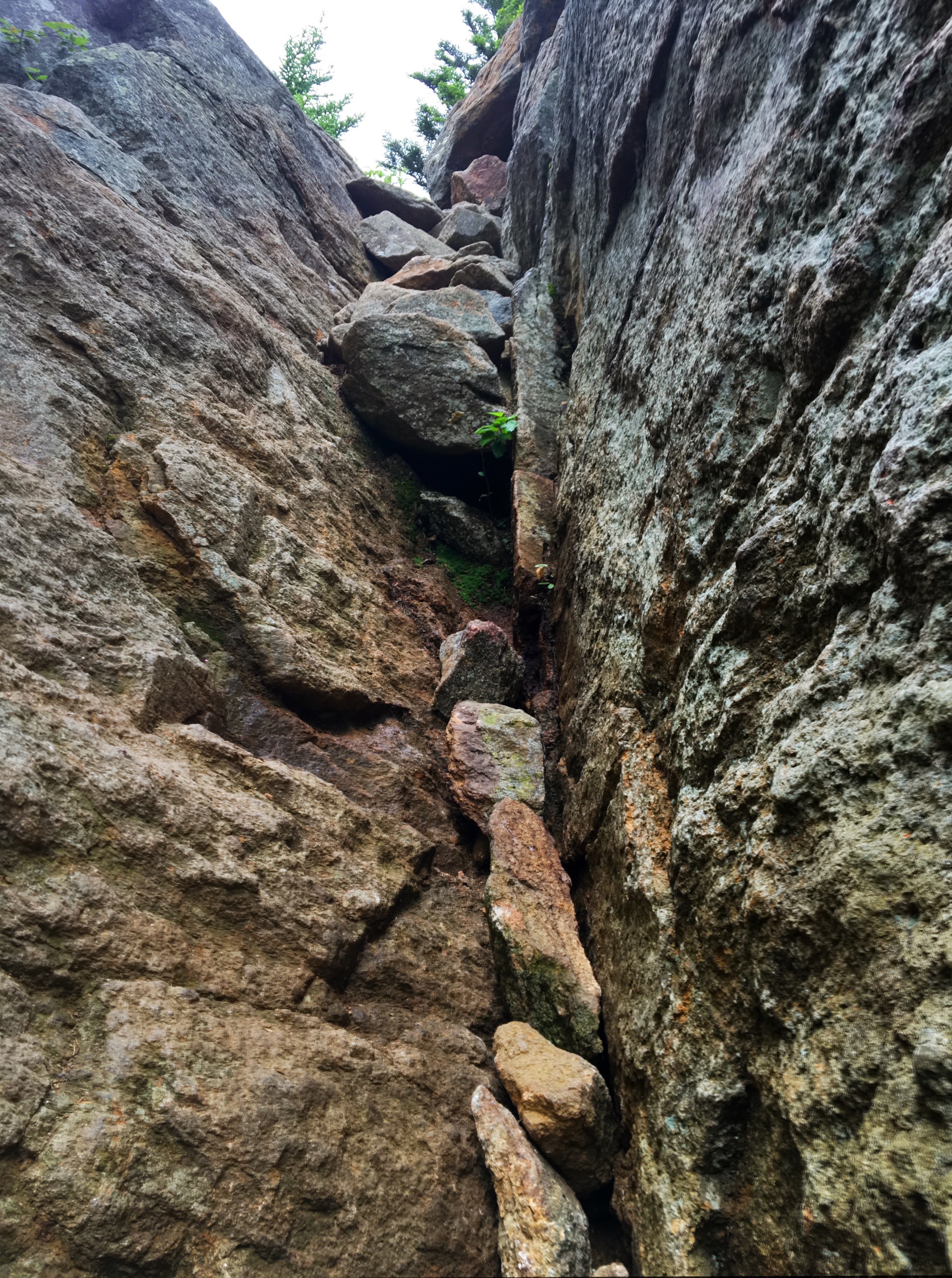
You can’t be Serious !!
This is how I feel when I get to these ridiculous vertical walls we are expected to scamble up:
Day 101, 7/15, M-1891, Gorham Hostel (8mi)
The skies had cleared by morning…

Day 100, 7/14, M-1883, Imp Shelter (18.5mi)
Climbing up Wildcat Mountain out of Pinkham Notch.

I think I might have actually captured the vertical nature of this ridiculous climb. A really steep trail can often gain 750′ per mile…this was 750′ in 0.4 miles, and 1500′ in 1-mile. It took me an hour to hike that mile. The rest of the day was a littler quicker, but not much. 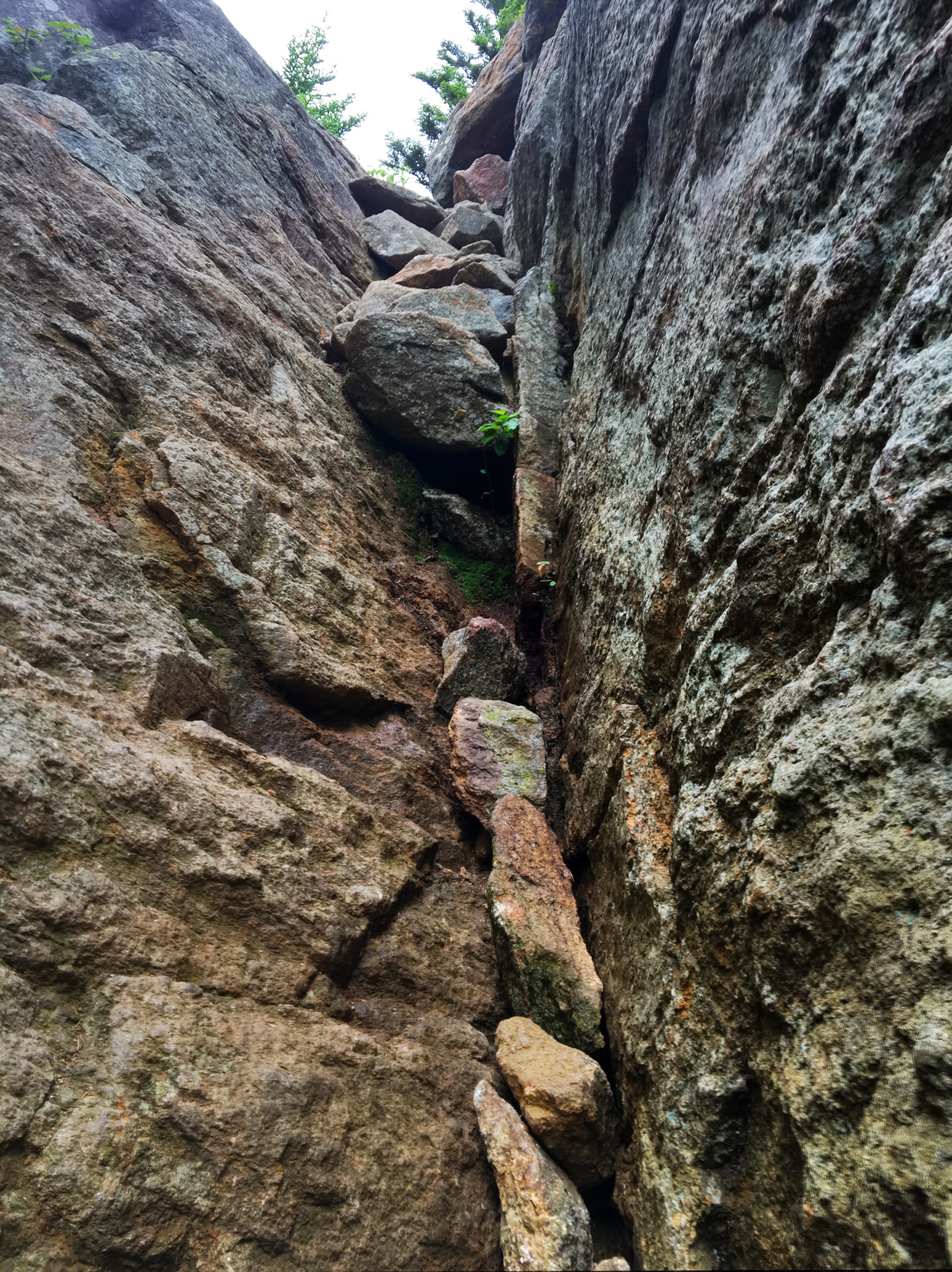
This is how i felt when I saw this:
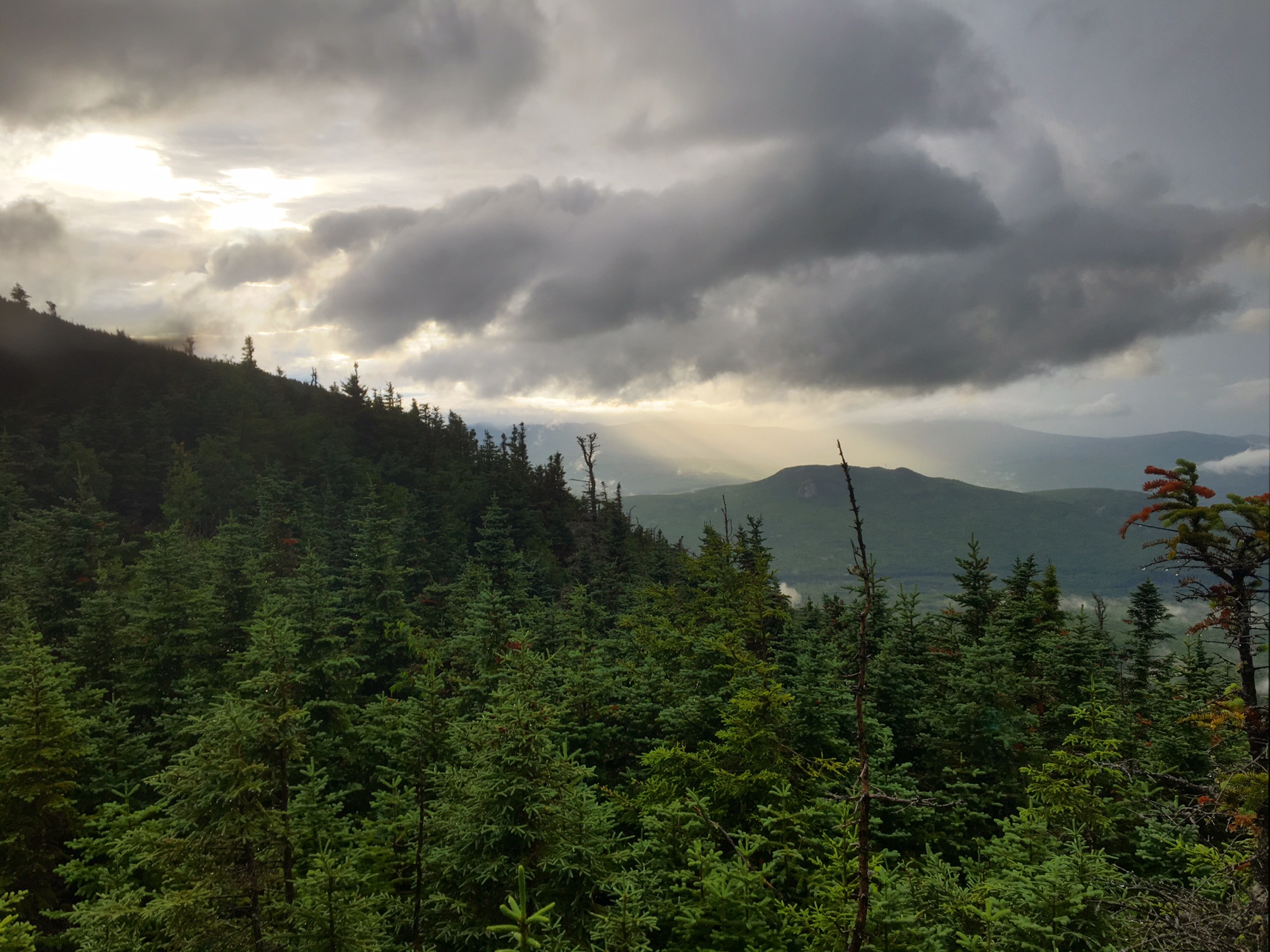
For all that climbing this was the view 😦

Carter Notch Pond

This is super steep as well but the photo does a poor job capturing it.

…and the view!

Around 6pm the skies cut loose just as I was getting over the last peak, North Carter Mtn.
The descent was super steep and sketchy with a river flowing down the middle of it. Just before arriving in camp at 7:45pm the skies cleared.
The sun even popped out 🙂

The 18 miles today took almost 14 hours door to door. I did take a 45min stop at the Pinkham Notch Visitor Center for some food and wifi as well as a 30 min stop at the Carter Notch Hut (bummed I forgot to get a pic), but other than that I was on the go. It was another really tough day but at the end of the day I felt a little bit better than yesterday…the terrain was just slightly less punishing. My new shin splint is still giving me discomfort but it’s been manageable. I will try to pic up some Aleve to augment the Advil when I’m in town tomorrow.
Day 99, 7/13: M-1865, Osgood Camp (15mi)
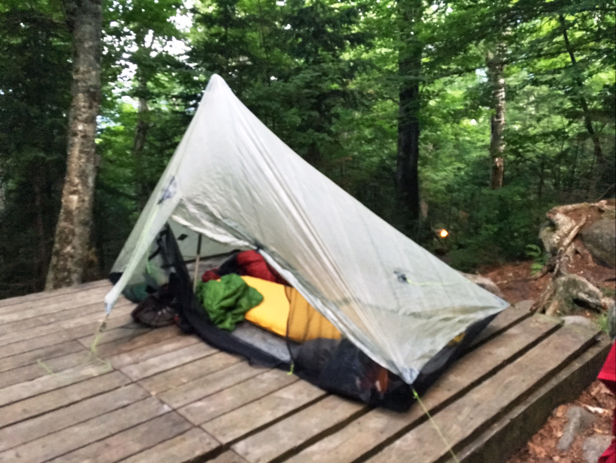
For some reason the caretaker squeezed three of us onto this one platform last night (forgot to get a pic with all 3). There was an empty platform just down the way?! He must want to keep all us smelly thru hikers together.

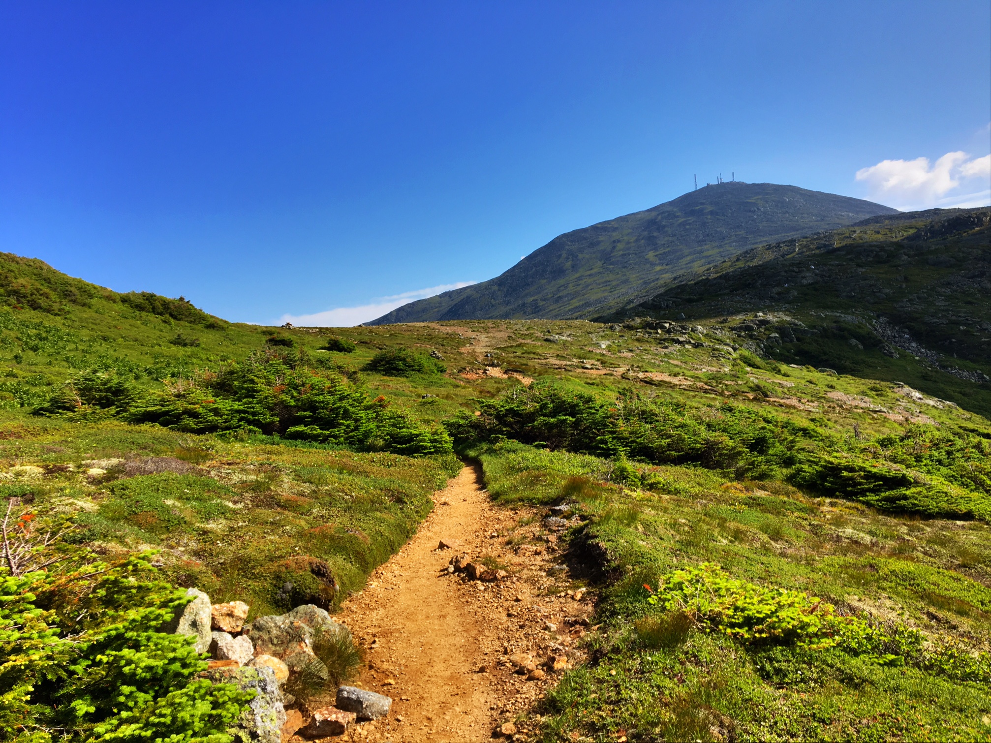
Starting the climb toward Mt Washington On the horizon.
The Lake of the Clouds Hut made a good morning rest stop before the final summit push.

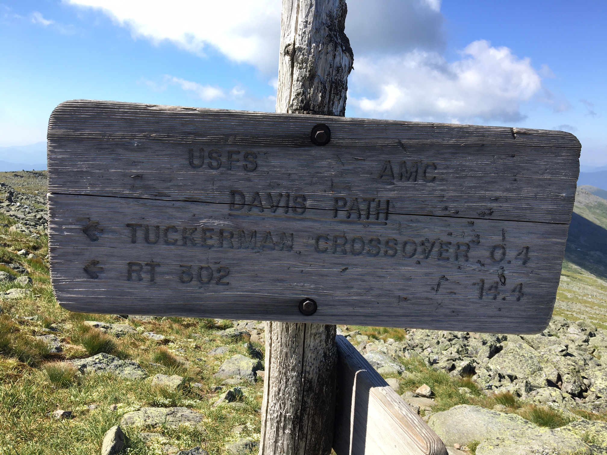
This one is for Tucker Wein
It’s a little hard to see, but this woman is carrying a big load on a wood frame pack 1500′ feet down to the hut….that’s how they get all the food and supplies to feed the hikers who stay there. The hut is at the bottom of the ridge.

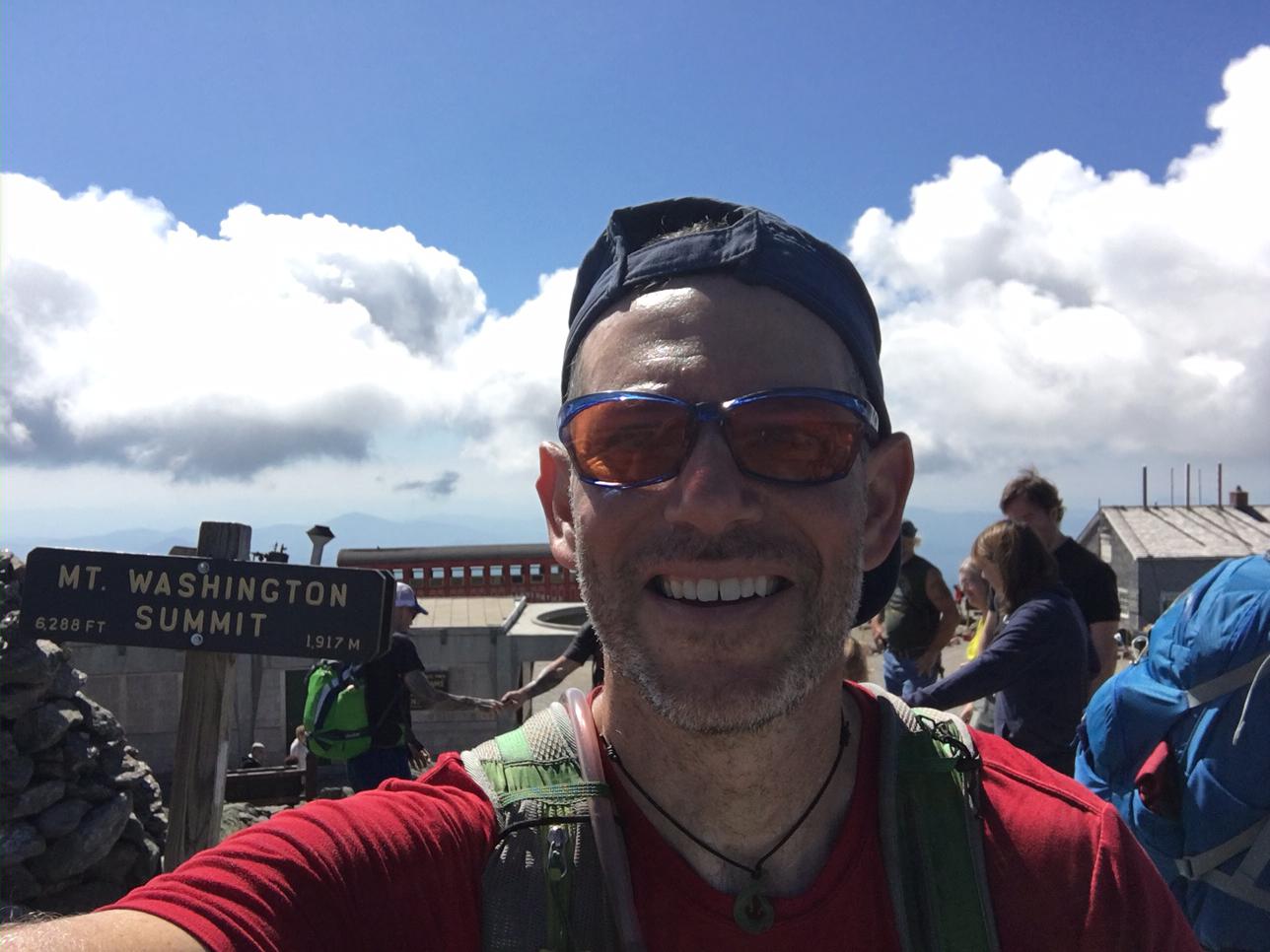
There was a line to get your photo in Front of the sign, so I photo bombed it.
The Presidential Traverse was the afternoon’s activity.

Apparently The Camino and the AT cross paths ?

A well earned rest break at the Madison Hut. The 6 miles from the Mt. Washington summit took almost 4-hours.

Then it got even tougher…this is the trail. More like choose your own adventure through a giant rock jumble. The last 3 miles of the day took almost 3-hours.

All in today I was on the trail for 13 hours and covered 15 miles (with maybe 90 minutes of breaks). One More big day tomorrow and then a half day to Gorham, NH.
Day 98, 7/12: M-1850, Mitzpah-Camp (16mi)
Morning light hitting Zealand Falls 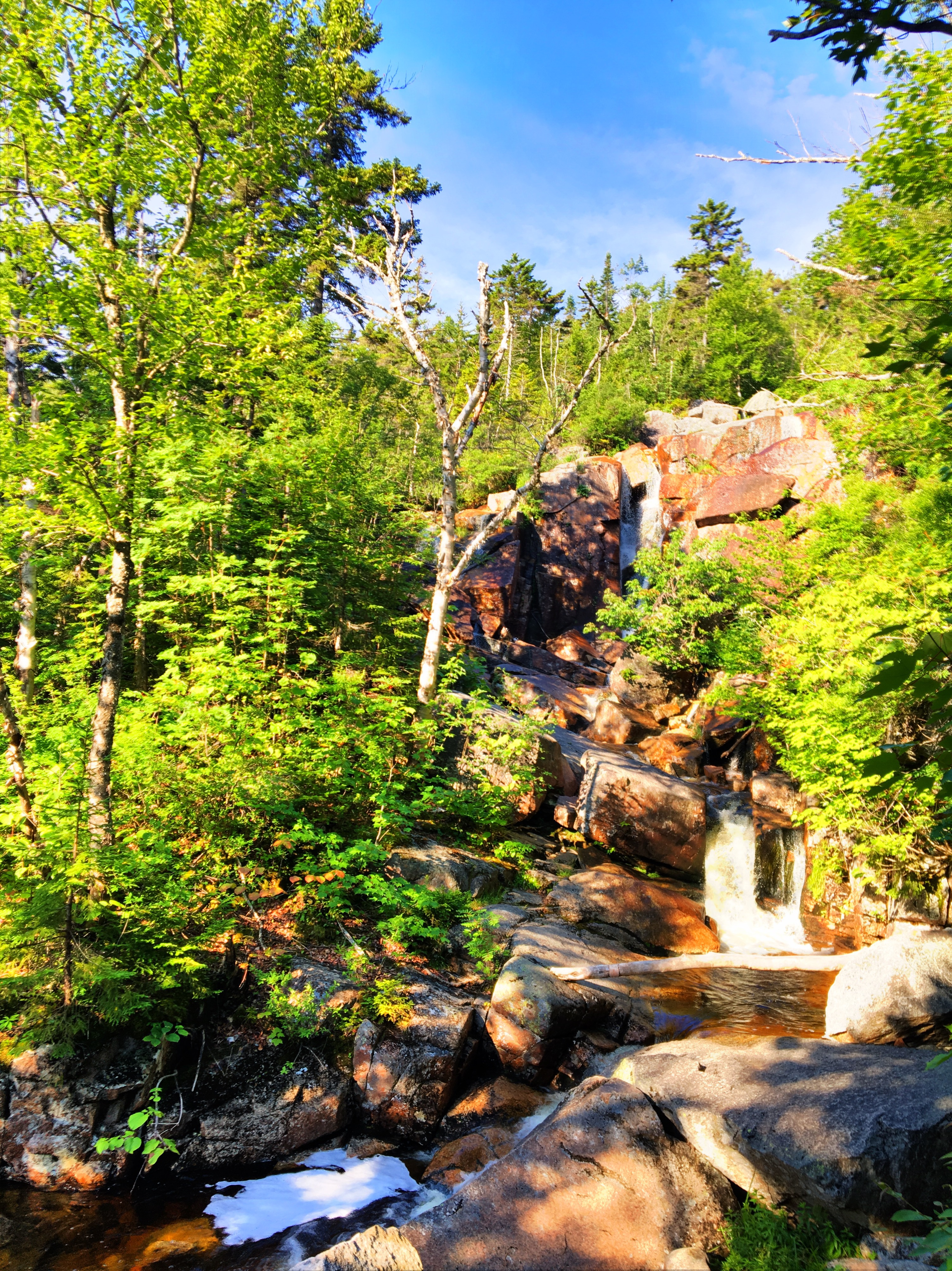
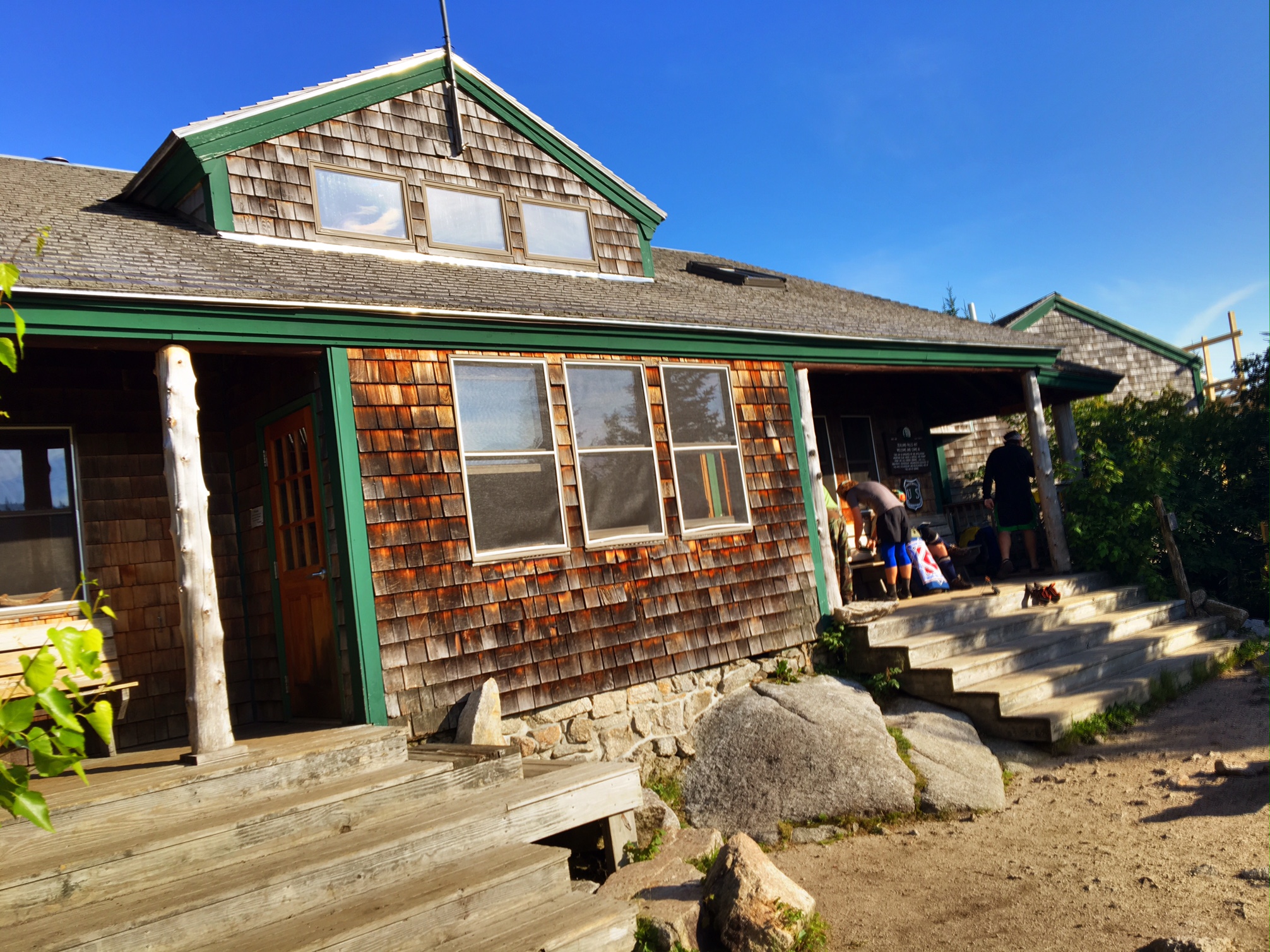
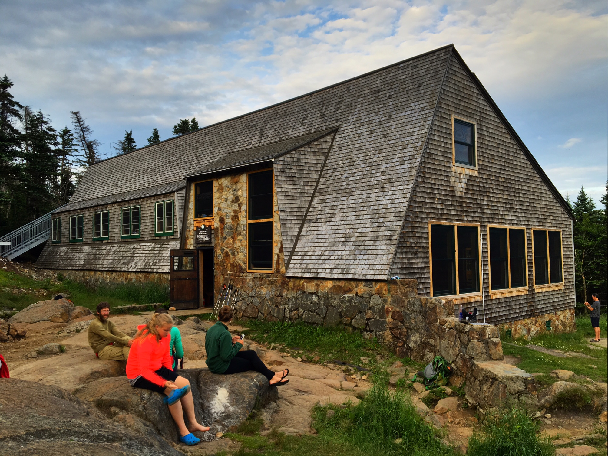
A short break at the Zealand Hut. There are about 10? huts in the Whites run by the Appalachian Mountain Club. They are all in remote locations that you hike to. They are bunk room accommodations and they feed you Dinner and Breakfast…unfortunately they cost about $120/nt and you have to book them pretty far in advance. Still, they area nice oasis for thru hikers: treated water, bathrooms, plus they will often give hikers leftovers.
The hike out of Crawford Notch was a beast…
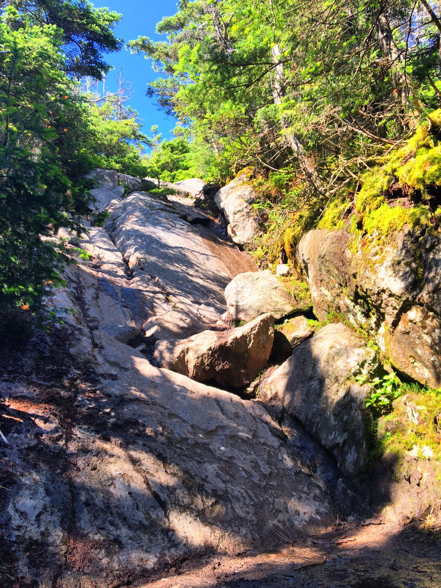
I’ve started calling these sections “McEnroe’s”, as in “You Can’t be SERIOUS!” I will literally do a 360 trying to figure out if I went off trail..no such luck.
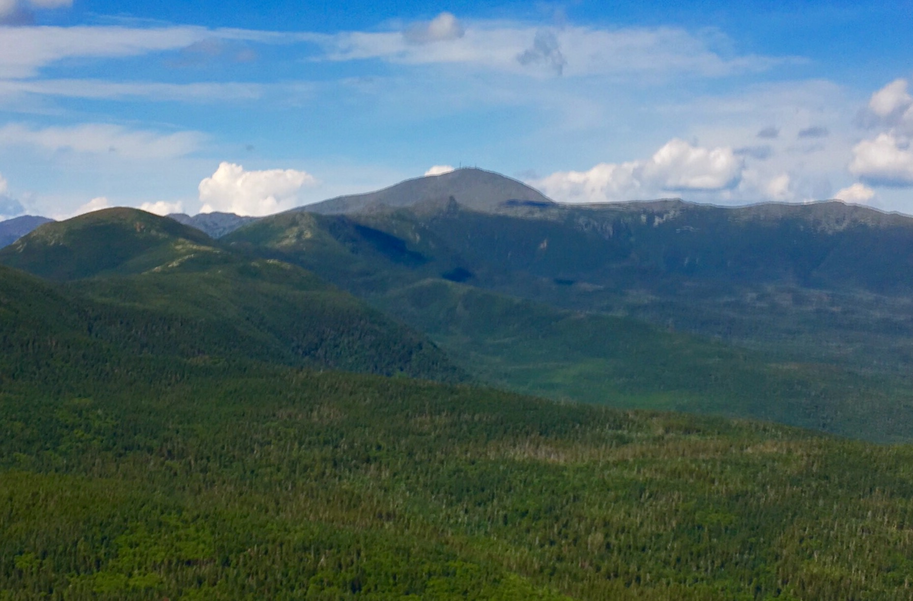
Mt. Washington…will summit tomorrow AM.
The Mitzpah hut has a camping area just down the way. It was great to have this big open area to relax in the evening sun.
Unfortunately, I’ve started to get shin splints in my other leg. Luckily, it’s not as bad as I had it in my left leg (at least not yet). This terrain is not exactly conducive to recovery but I’m managing for now.
My friend Liz commented I must really be hurting (after my last post with my list of nagging injuries) because I’m not usually one to complain. I just wanted to explain that I was merely listing these aches and pains for the purpose of giving folks a real sense of what goes on out here. Too often Facebook and Blogs present a distorted view of the world because we tend to only post the “good” things.
Day 97, 7/11: M-1834, Zealand Pond (20mi)
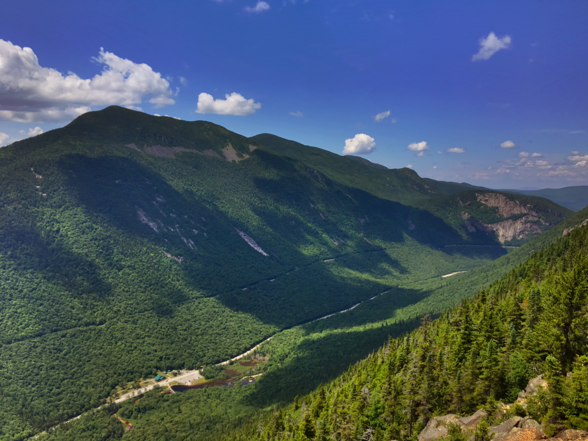
Worth the wait and effort…a perfect day to be in the White Mtns.
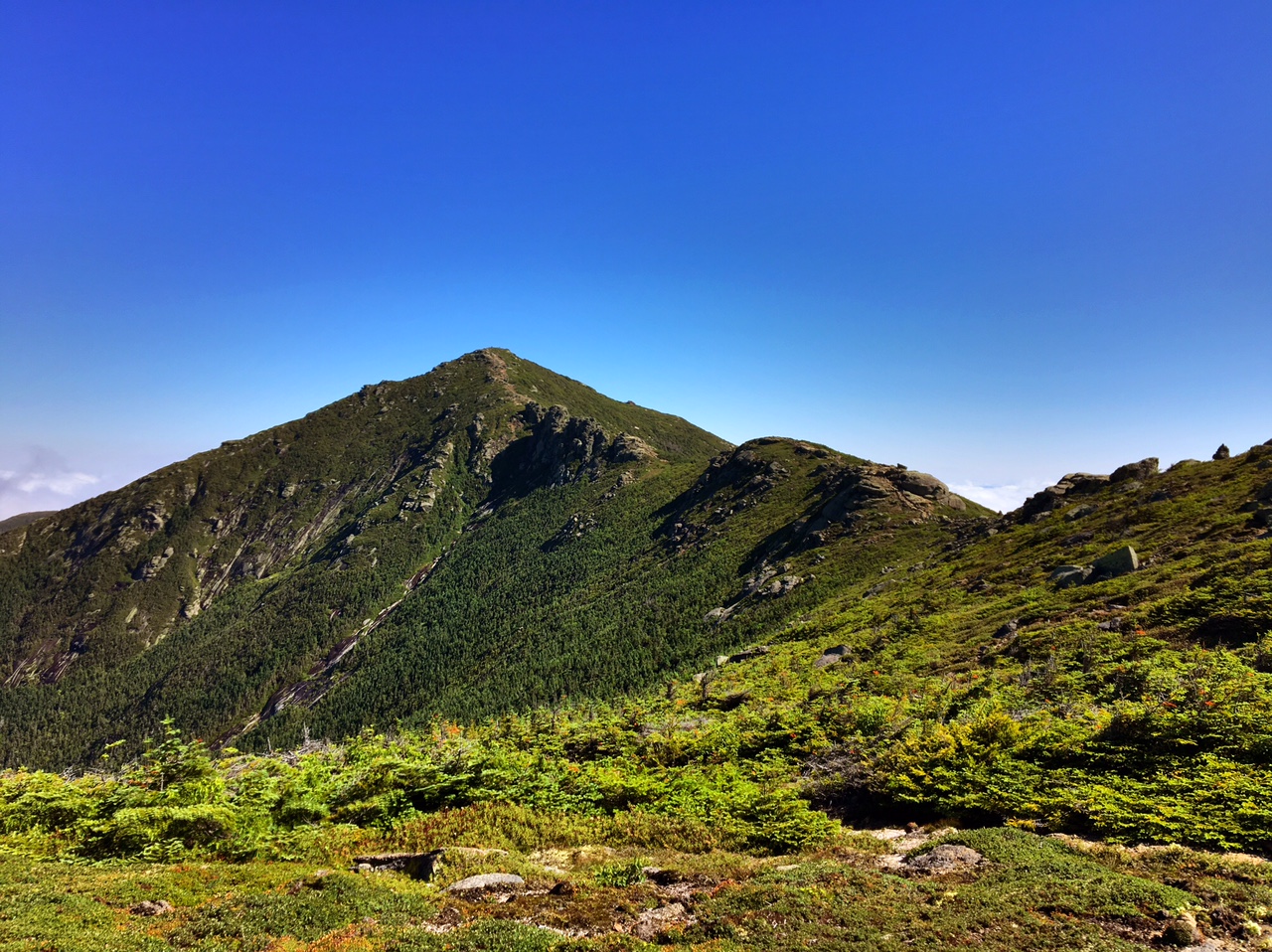
The Franconia Ridge

…From the other direction

Enjoying the view
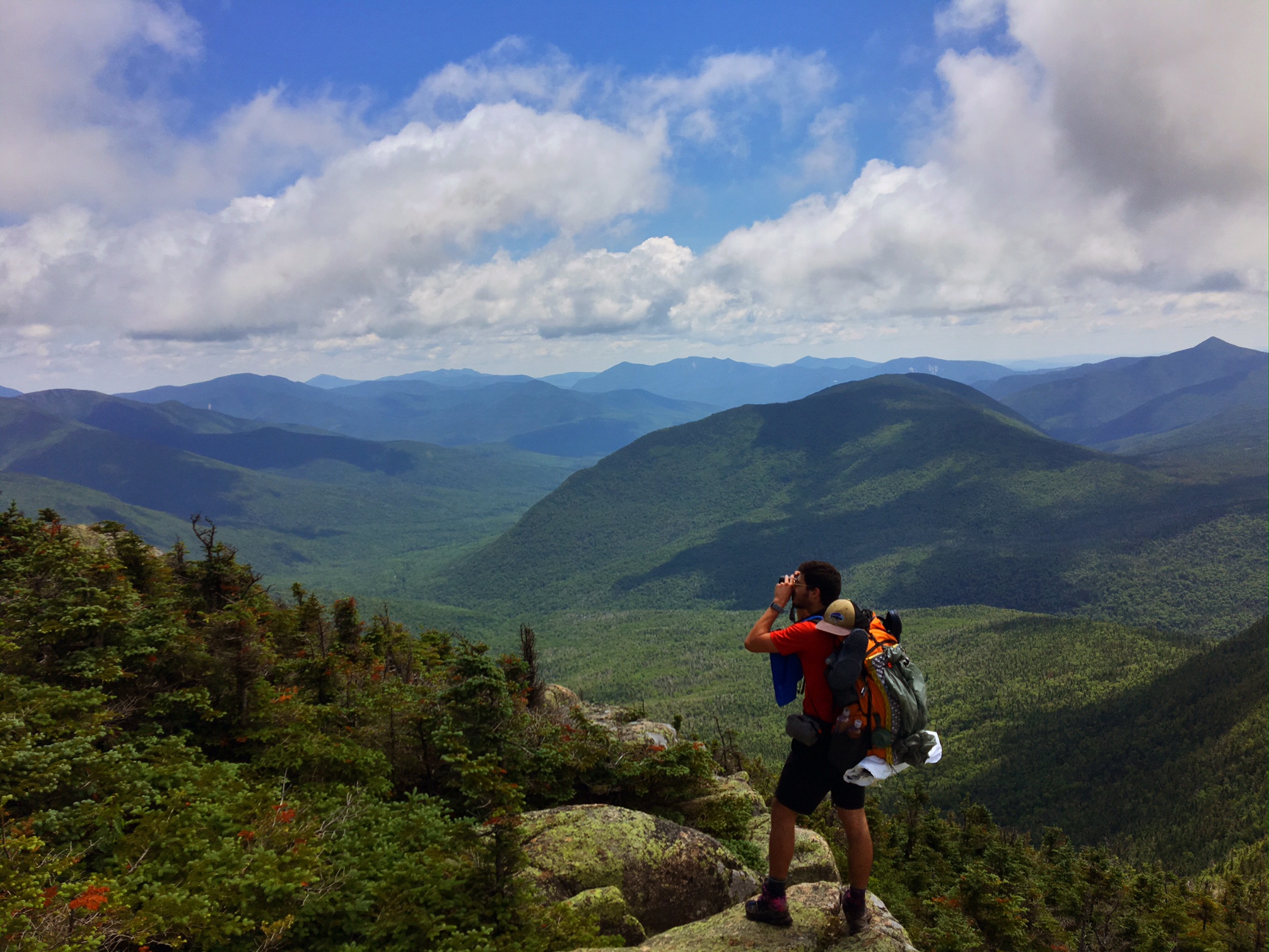
Mt. Washington is poking above the dark mountains on the horizon.

Another nasty descent.

Sometimes the trail gods are kind enough to throw in a ladder.

Exhausted after a 13 hour day of getting my a$$ kicked.

Day 96, 7/10, M-1816, Franconia Notch (9mi)
It rained most of the night but started to lift by the time I got going at 6am. Most of the day I was in the clouds or it was a light rain.

The climbing continued its relentless onslaught. Pulling my way up by any means available: trees, roots or cracks in the rocks.

The wind wasn’t blowing above tree line like it was yesterday, but still no views.

It took me 3hours to go 4 miles to the Kinsman Pond hut for a well deserved break. (normally I could cover 7-8 miles in his amount of time).
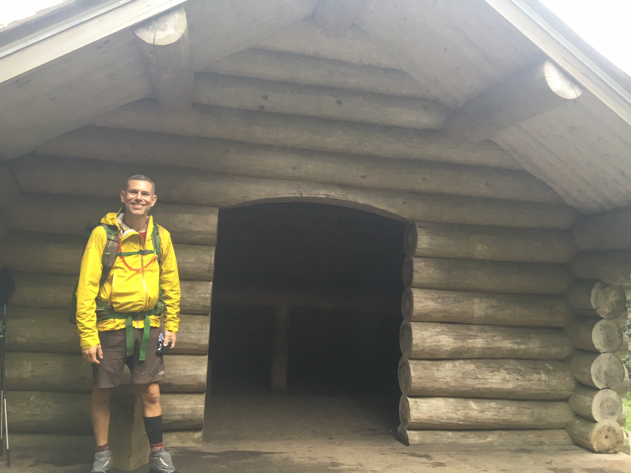
Filling up water at Kinsman Pond.

This pic is for Eliza Wein…you have a shelter named after you 🙂 I will also try to get a pic of the Tuckerman’s Ravine sign for Tucker Wein.

Lonesome Lake

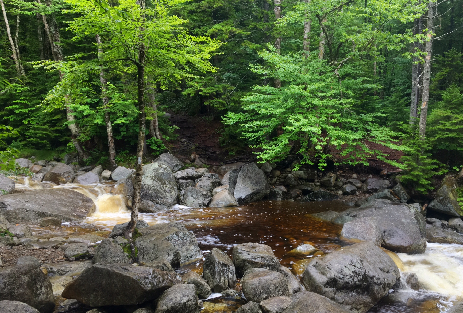
If you zoom in on the spindly tree in the middle of the river you will see a white blaze. I’m not sure what they were thinking crossing here! I crossed just up stream and managed to stay upright. My feet were already soaked from all the puddles and muck I’d hiked through earlier so this was a good chance to clean the boots off.
An old farmhouse lodge was a welcome respite from all the cold and wet, plus I resupplied in town. The other reason for calling it quits early is the weather is supposed to be improving significantly tomorrow. There is a 4000′ climb to the Franconia Ridge with spectacular views…hopefully I will get tinsel them (I definitely would not have today).

The good news is my shin splint is 98% healed. There’s no way I could have hiked this terrain 3 weeks ago in that state. Unfortunately, my left side has been seeing a lot of additional abuse: I hip checked the rock slab yesterday (can’t sleep on that side), I slammed my quad into downed tree trunk that was camouflaged in brush sticking out from the side of trail (still very sore), and a couple times a day my knee kind of buckles in a shooting pain (no idea why). Hoping I can hold it all together for another 3 weeks.
