Day 60, 7/25, Random Pond, M-1936, 34mi

The day started with a small climb out of Shelter Cove to get back on the PCT. There was a good view of Odell Lake from the Crest.

Most of the day was easy walking through the woods with the occasional pond or lake…and tons of mosquitoes!

I took a mid-morning break at this cool ski Lodge that is made available to hikers. It was nice to get away from the bugs temporarily.

This was a big burn section…the fire was from almost 20 years ago.

Showing off my disgusting legs. A combination of dirt, sweat and bug spray. (Luckily, I’m past the need for sunscreen).

Some darker clouds rolled in with thunder in the distance. Fortunately, it stayed dry.

The tenting area was limited at this random pond, but after 34 miles I was ready to call it a day. The Swiss couple that were already there were happy to share the site (he’s wearing a Bug net and n his head).

Day 59, 7/24, Shelter Cove, M-1904, 27mi

As crazy as this may sound, it was an easy and relaxing 27 miles today. I had gotten intel that the main route had quite a bit of snow. Luckily, there is an alternate route on the Old PCT called the Oregon Skyline Trail. It’s at a slightly lower elevation and passes by several lakes. On top of that it is a bit more direct route to Shelter Cove (today’s destination).

This is what stream crossing should always be like: calf high, gentle flow, and a refreshing temp on a warm day.

At mile 17 I took a long siesta at Crescent Lake. The water was a perfect swimming temp and the shade was a perfect napping temp. Surprisingly, no mosquitos here because most of the day was an all out assault. (my shoes are drying in the sun after the stream crossing).

Diamond Peak over Diamond View Lake.

Several milestones…Yesterday i passed my halfway mark…finally! And today I passed the 1400 mile mark (1900-500),

The terrain changed rather abruptly from dry and sandy with scattered Lodgepoles to this moss covered fir forrest .

For the first time I can remember I saw full cloud cover this afternoon. Apparently, this was the edge of something bigger in the area, but ultimately it was dry all day for me. (I am the blue dot).

Today’s destination was the Shelter Cove Resort. They are very friendly to hikers and it was a popular stop. Even with my two hour siesta I arrived by 5pm.

It was a great place to relax for the evening and enjoy the sunset.

Day 58, 7/23, Six Horse Jct., M-1870, 33mi

There were only two water sources over today’s 33 miles, so the plan was to make it to the 2nd source to camp. The 5:40am departure was hastier than normal due to the swarming mosquitos…they are relentless!

I think this is Diamond Lake and Diamond Peak.

This is definitely Mt. Thielsen.

I had warnings about snow on trail in this area. Luckily it was just patchy for a couple miles.

Thielsen Creek was the first water source of the day at mile 16. I had to chase it down stream a bit because the upper part was covered in snow.

My favorite part of the day.

It was a popular lunch spot.

Hiker tan (dirt) lines.
North side of Mt. Thielsen.

Supposedly it’s all down hill to Canada 🇨🇦

Miller Lake

The spur trail to the Spring was a popular camp spot tonight.

It was a 14 hour day on the trail with stops.
I’m ready for bed!

Day 57, 7/22, Crater Lake Hwy 209, M-1837, 21mi

I was really excited for today…hiking the rim of Crater Lake!

This was my 6am shot shortly after I left camp.

I had gotten some intel about some snow on the way up to the lake but it was nothing too bad and easy to navigate through.

The best part about the approach to the lake is that you don’t see anything until you are basically right there…what a view!

I spent a couple hours hanging out at the Crater Lake Lodge back porch overlooking the lake.
I found a great spot with a table and an outlet to charge batteries! My resupply box was waiting for me (thanks Katy+Todd!) I basically sat back and enjoyed the view…

with 100 of my closest friends (it is a summer weekend!). I bumped into some weekend hikers I had briefly chatted with several days ago on trail. They summited one of the neighboring Peaks and were now playing tourist.

Spectacular! The extinct volcano used to be almost 12,000′ tall and blew its top and lost almost 4000′ of mountain. The lake is ~2000′ deep in places and the water is measured to be the clearest in the world.

The rim trail had a couple sections of snow but nothing terrible.

This is a closeup of Wizard Island.

Crazy how much snow there is on the side of the road. They just opened the full road loop around the lake this weekend.

I bumped into a bunch of hikers I had met mile ~400…a trail family for a night.

The small campfire did a good job of keeping the ferocious mosquitoes in check.

Not sure if this pano shot of the lake will load, but I will give it a try.

Day 56, 7/21, Crater Lake Border, M-1813, 31mi

There has definitely been a chill in the air the last several mornings but by mid afternoon it can feel quite hot out in the open. The first 10 miles was more uninspiring trail through the pines with mosquitos and lots of blow downs… It’s kind of an obstacle course.

By mid morning I finally had some views 🙂

Then it turned into a giant burn area…with wildflowers!

No, that’s not Mt. Shasta…it’s Mt McCloughlan (~9000′).

There was one notable climb today…Devils Peak. I had intel so I knew to expect snow on the steep north facing side.

It wasn’t too bad actually. If I there had been other folks in the vicinity I probably would have glissaded down the slope. But with the melting snow the last thing I wanted was to get the top of a pine tree up the pooper and wallow in the snow waiting for help. Instead, I descended some soft scree just to left of this pic. Discretion is the better part of Valor !

By early evening I had arrived at the border of Crater Lake NP.

Not too worse for the wear after a 31mi day.

I had a great pine needle campsite all to myself. Definitely a tent night with all the mosquitos.

I wasn’t patient enough to wait around for the whole sunset…I was anxious to get in my sleeping bag.

Day 55, 7/20, Christi’s Spring, M-1782, 30mi

The miles came pretty easy today. The elevation profile was relatively flat and other than navigating some blow-downs the trail was in great shape. Not too many views today as the trail is mostly buried in the trees.

This is a fairly typical section of trail today.

I took a short break at this cabin open to hikers located just off the trail.

There was ~5 miles of trail that would pop in and out of these lava fields. Thankfully, they did a great job building the trail which made the walking way easier than it would have been had I needed to pick my way through.

More lava trail with Mt McCloughlan on the horizon.

I had 18 miles done by 12:30 and decided to hitch a ride two miles to Fish Lake Resort for some food and drink. My lunch companion was the resident chipmunk. Pretty sure he’s going to have some cholesterol issues with all the food he was stealing (curly fry in picture). By the time I hitches a ride back and was ready to hike it was 2hrs later.

This is a random rest stop in the late afternoon. A flat rock (or log) is all that I need 🙂

One of the few views today…Fourmile lake.

Home for the night was next to Christi Spring.

The mosquito situation ramped up exponentially today. The last couple hours I was swatting and walking. I finally succumbed and put on the DEET. Luckily, my campsite wasn’t terrible…merely annoying.

I listened to a lot of podcasts today since the hiking was uninspiring (plus it’s a good way to distract from the mosquitos). Seemed like a good time to cue up Hardcore History with Dan Carlin. If you are not familiar he does an amazing job describing specific periods of time in vivid detail from the Protestant Reformation to today’s episode called Destroyer of Worlds on the rise of the Nuclear Age. He researches the topics from many different sources (Russian texts to Truman’s Biographies) The best part is that the podcasts are 5-6 hours long, so it’s a great way to pass a good chunk of the day. I will attach a link below if you want to check it out :
https://itunes.apple.com/us/podcast/dan-carlins-hardcore-history/id173001861?mt=2&i=1000380386551

Day 54, 7/19, Big Spring, M-1753, 31mi

Today’s miles came pretty easy. The terrain was gentle if not undramatic.

Emerging from the forest as the sky is brightening up.

Morning light hitting Pilot Rock.

Here’s a random hiker taking siesta while drying his stuff out (condensation?).

This is the view from Hyatt Lake Resort. It was 2mi hitchbto the cafe for lunch. A relaxing stop 🙂

I may have taken a wrong turn!

Home for the night. I saw only handful of people today then there were ~10 where I planned to camp when I rolled in at 7:15…so I moved on a 1/2 mile and found this spot just off a dirt road.

Day 53, 7/18, Soda Mtn Camp, M-1722.5, 7.5mi

I had a great nights rest at the Mathew’s residence! We ate a pleasant breakfast on the back patio which overlooks the golf course and the mountains.

After running some errands around town we went back to Callahans Lodge next to the PCT and said our good byes. What a great 24 hour break!

I had to take a pic of the Lodge’s trusted lawn maintenance director . Her name is Heidi (according to her tag) and keeps the grass neat and trim.

I hiked for 3 relaxing hours in the early evening. This is a pic of Pilot Knob.

Yes, that’s Mt. Shasta on the horizon.

A closer look at Pilot Knob.

Then a perfect home for the night… flat, soft pine duff.

Day 52, 7/17, Ashland, M-1716, 34mi

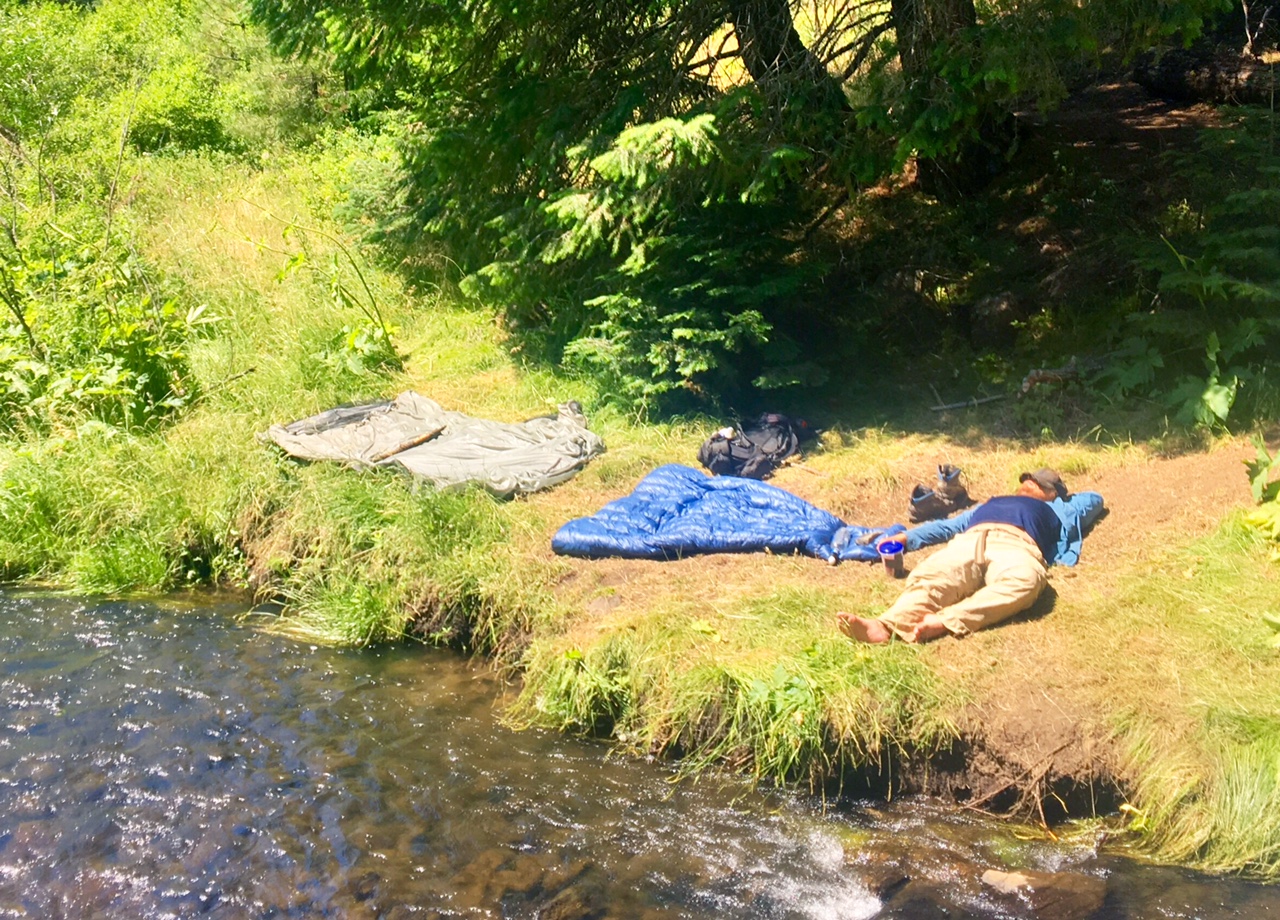
It actually got a little chilly last night. Nothing bad, but I hadn’t felt that since I left the trail mid-June.
Today was kind of special for a number of reasons, including several milestones.

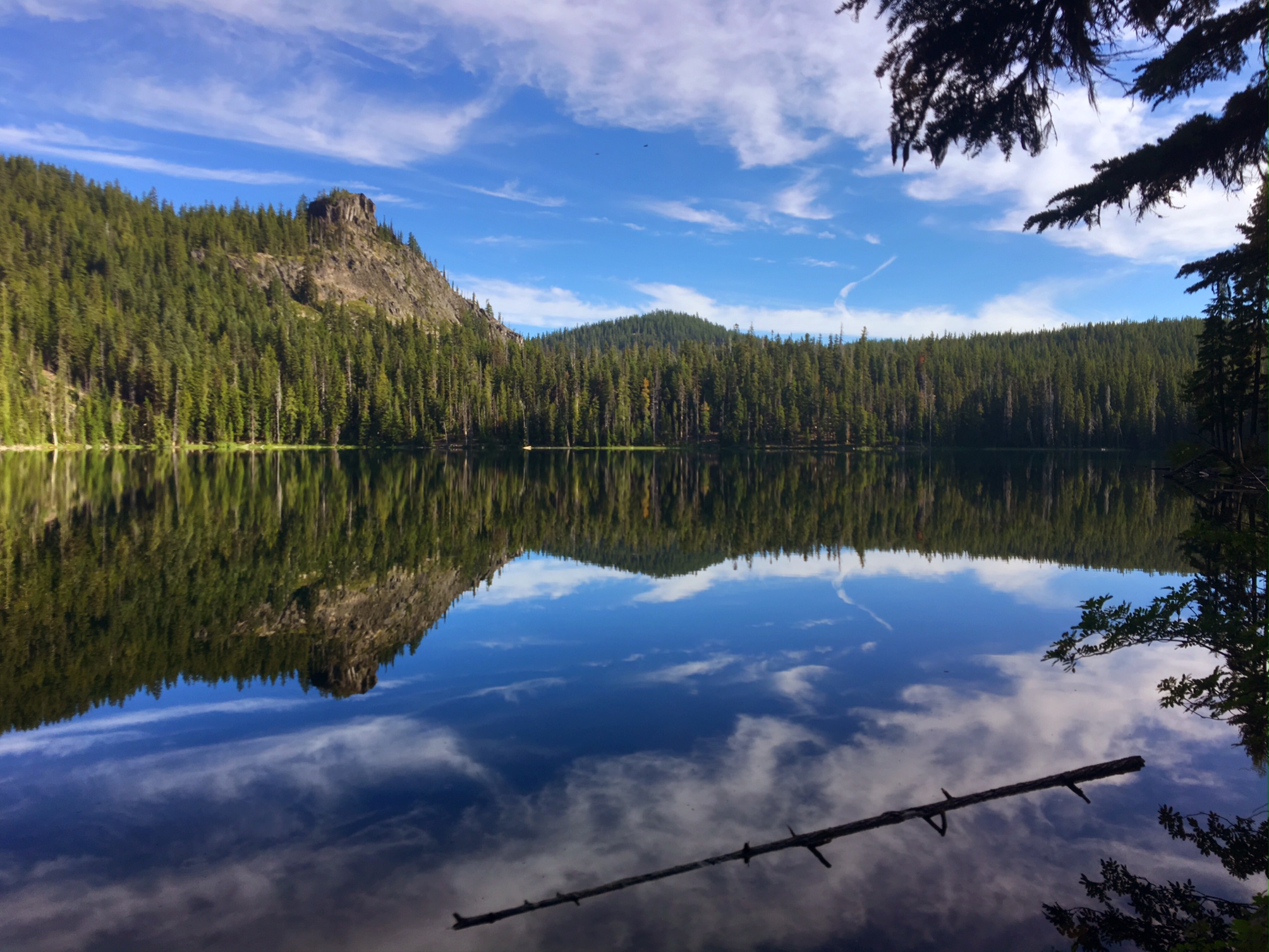
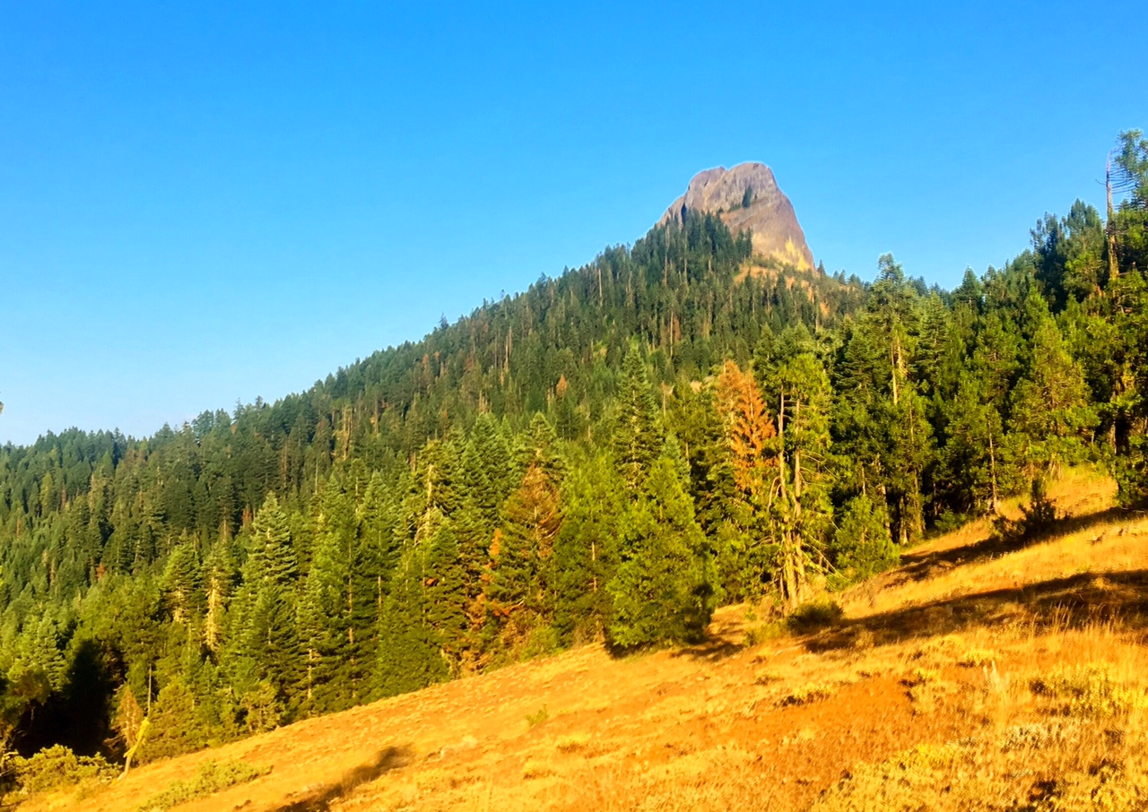
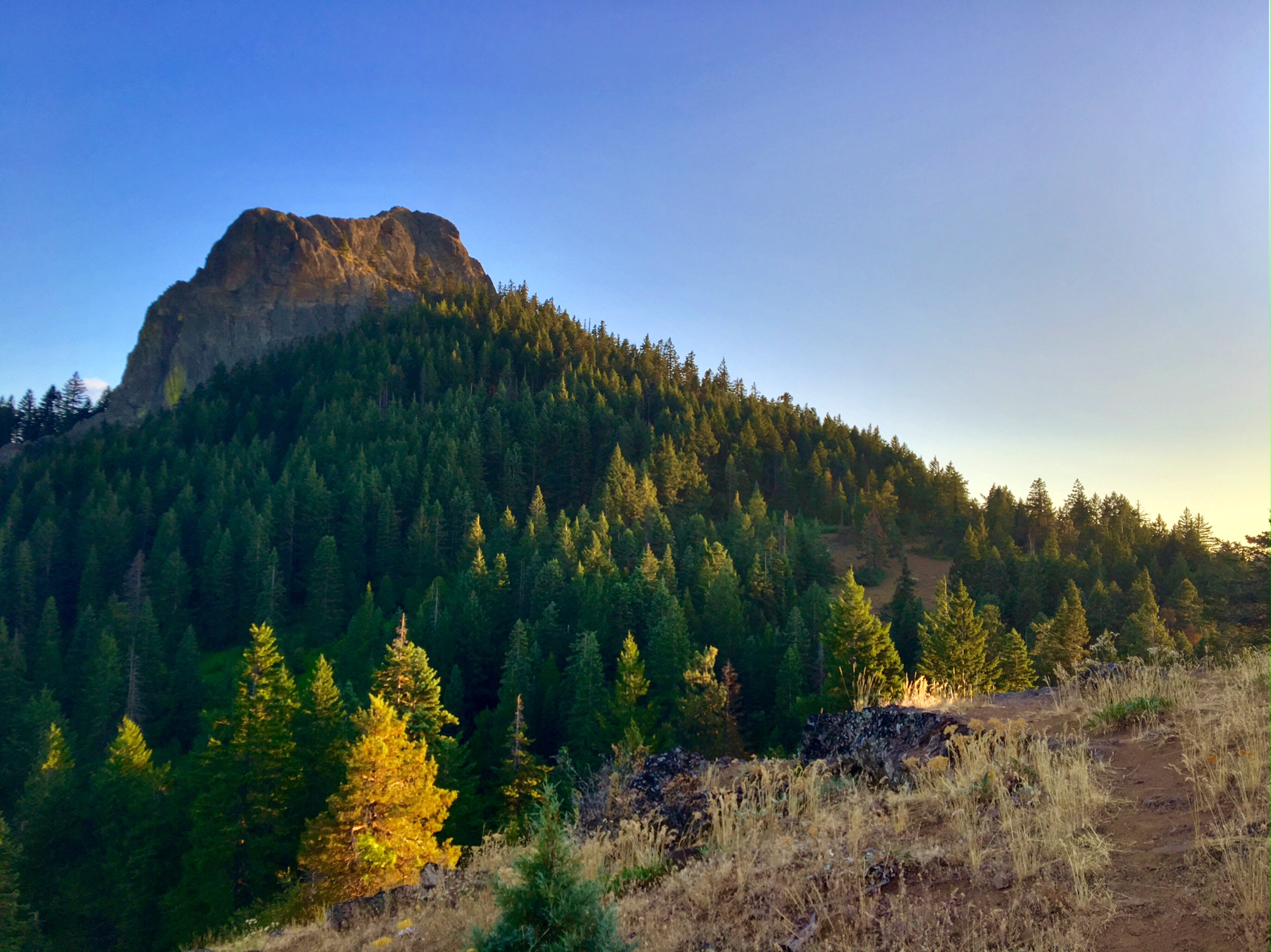
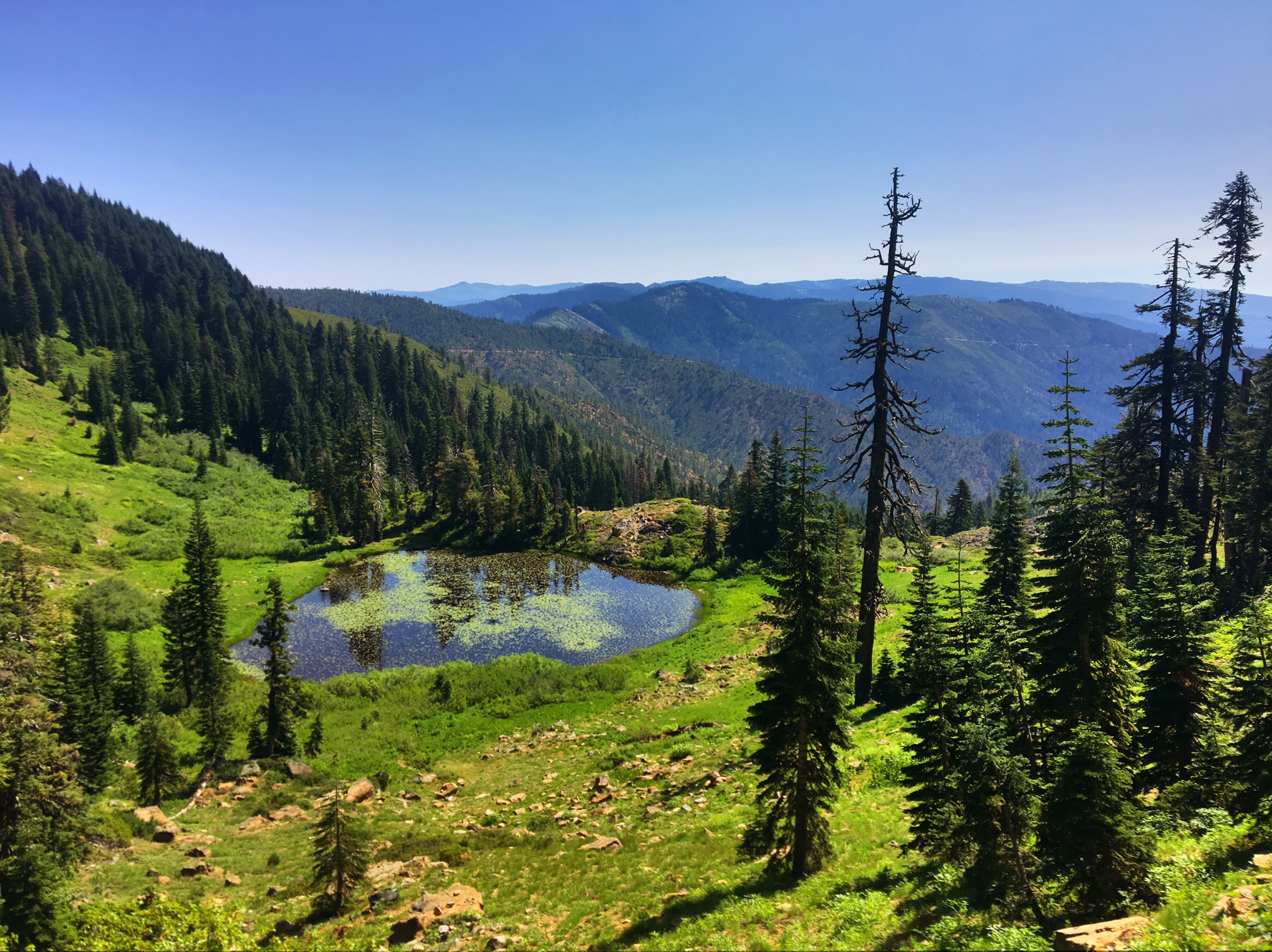
It was a great morning as I passed through several quiet meadows between thick forest.

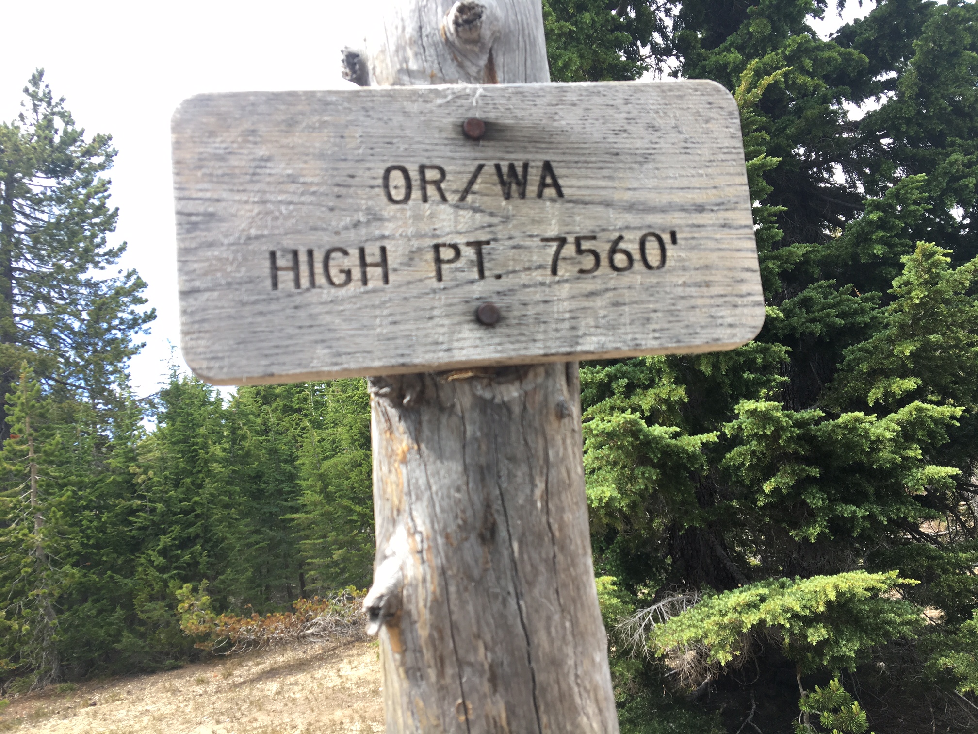
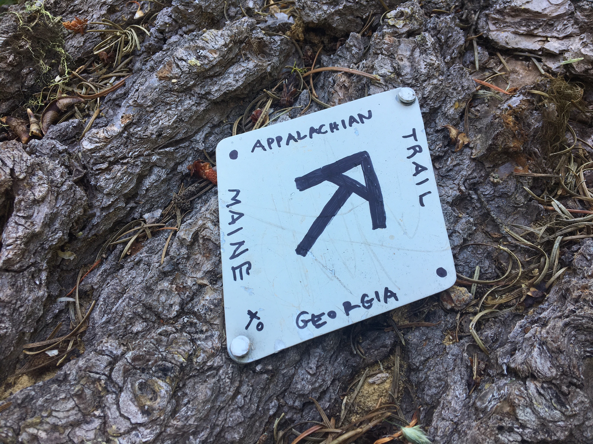
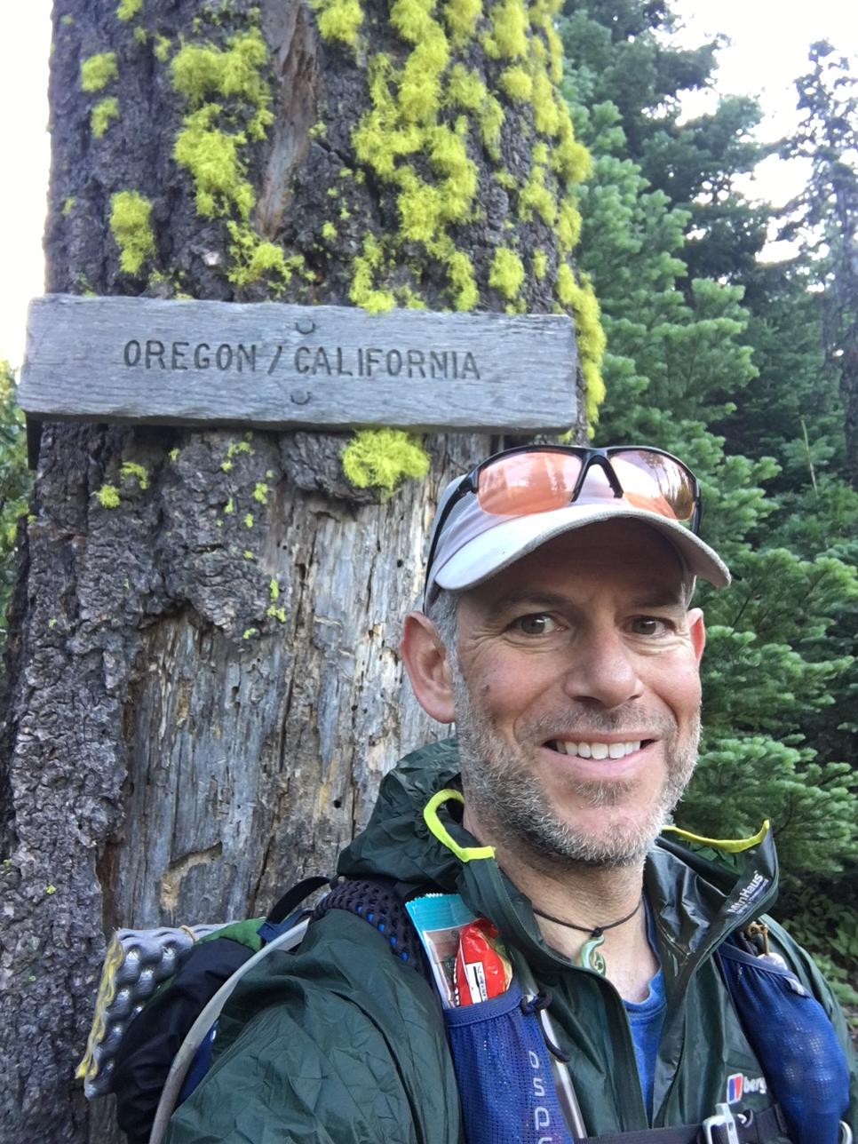
Six miles into the day I made it to the Oregon border.

There was a trail register at the border.
My entry was a little poem…

In case you can’t see the pic that well…
Oh California, I love you so

Your beauty is endless but I now must go

I shall return, and that’s a fact

There’s 500 miles you owe me back

Don’t despair, just sing a tune

Our September Rendezvous will be here soon”

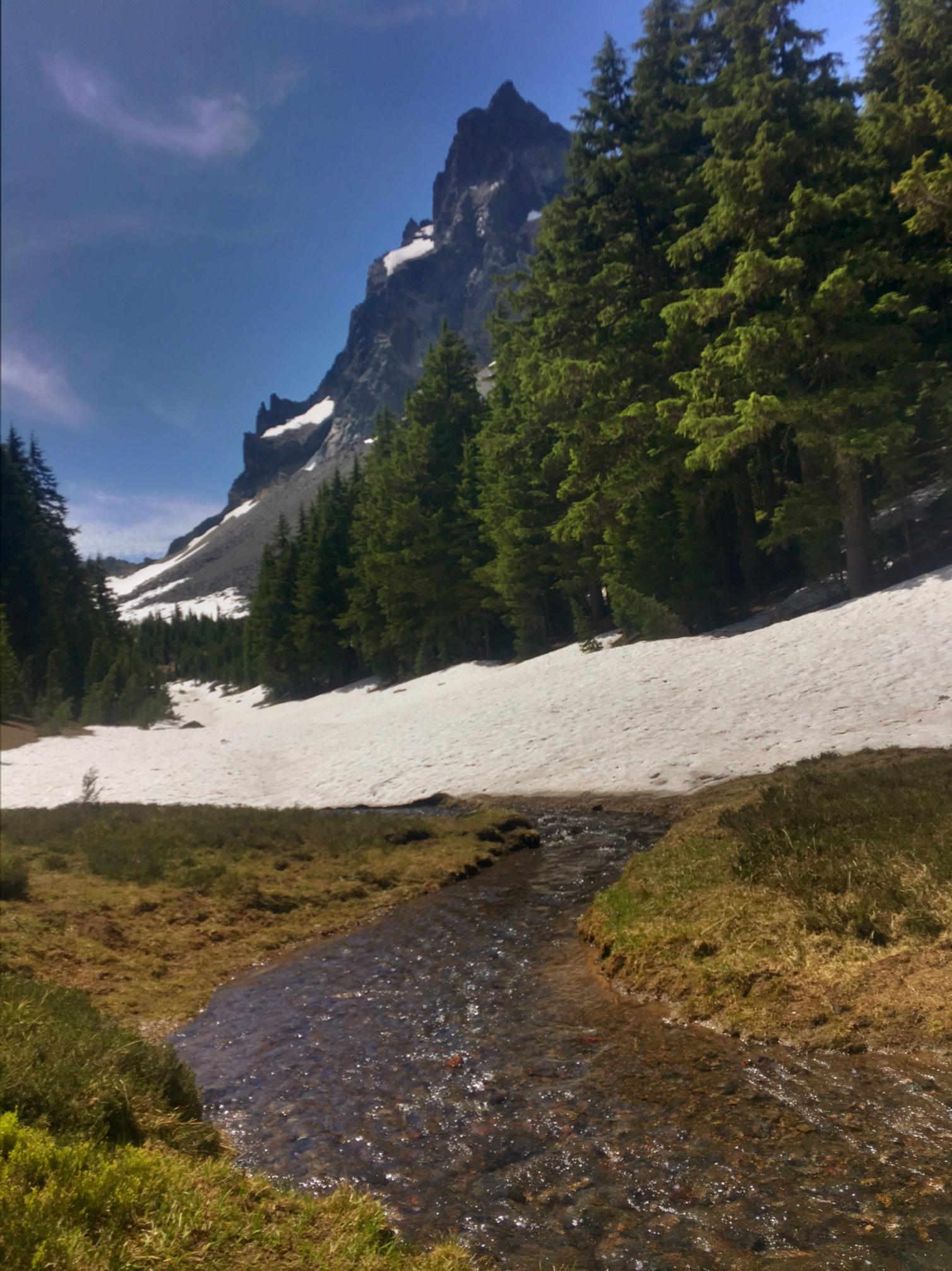
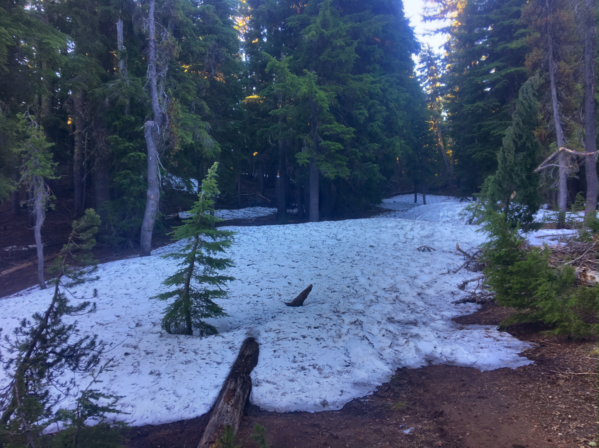
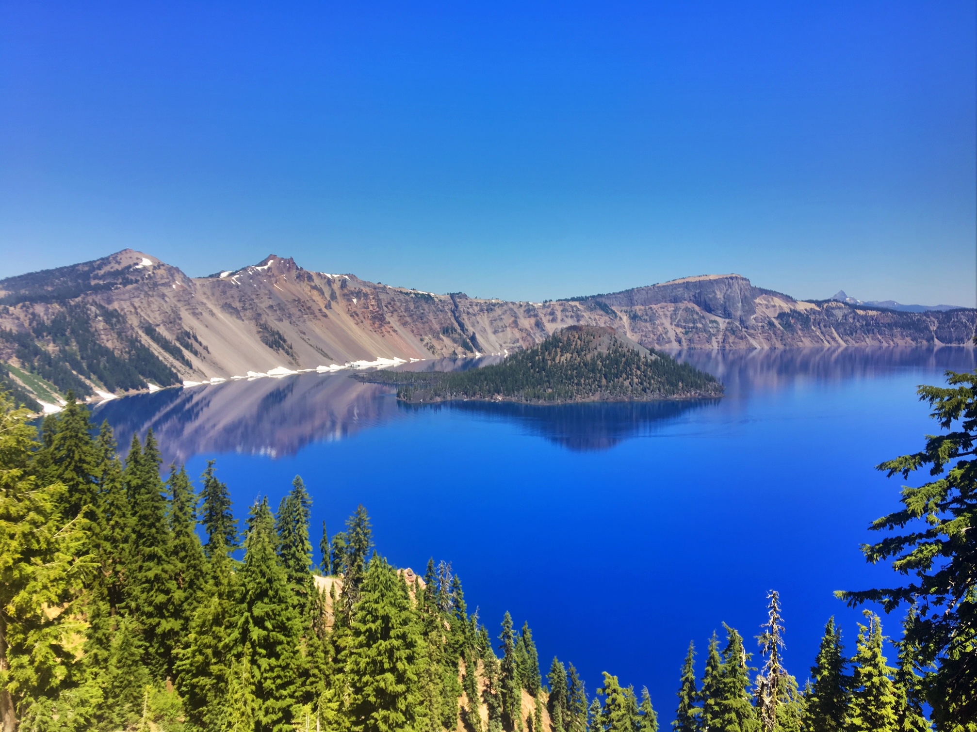
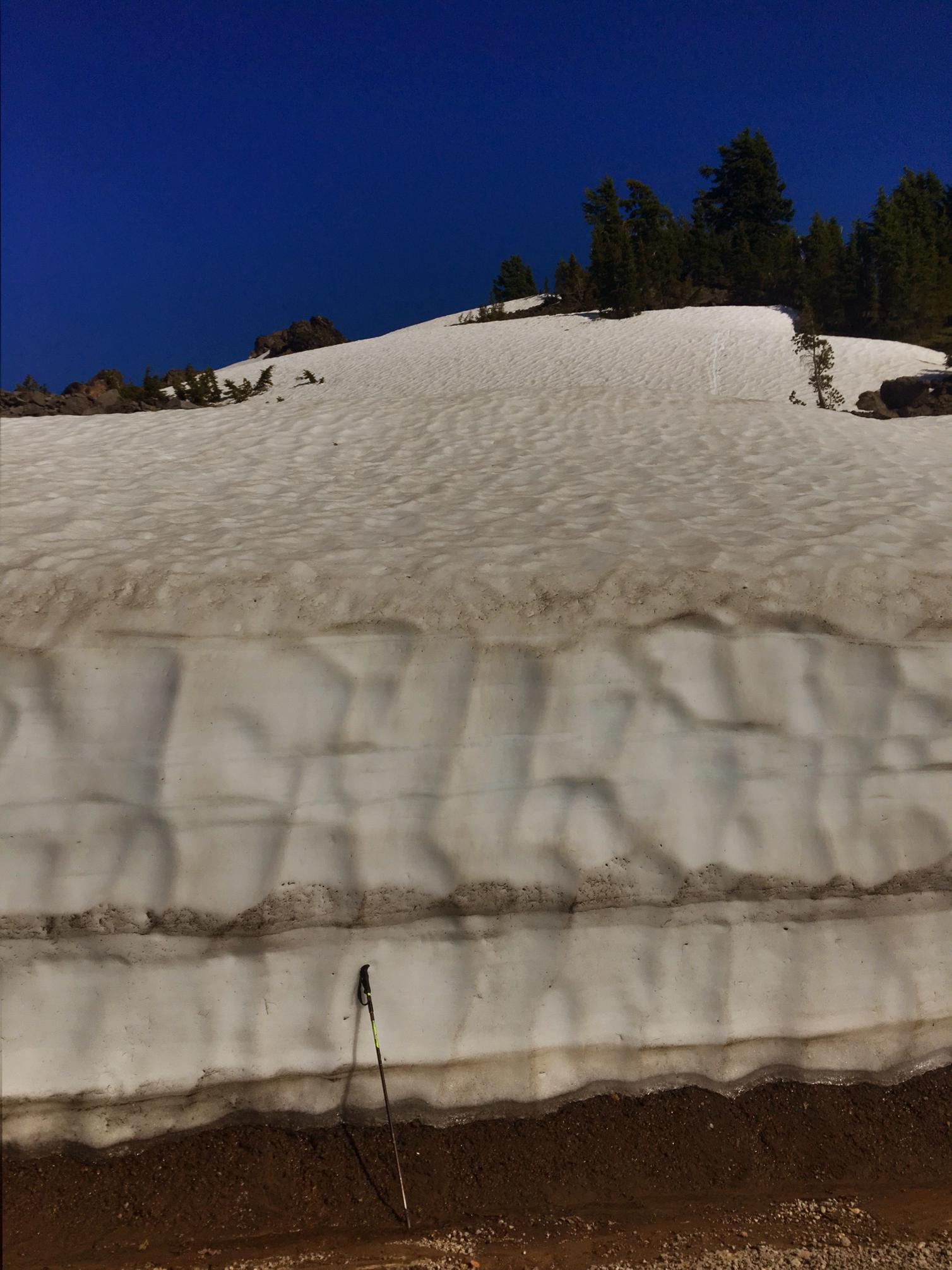
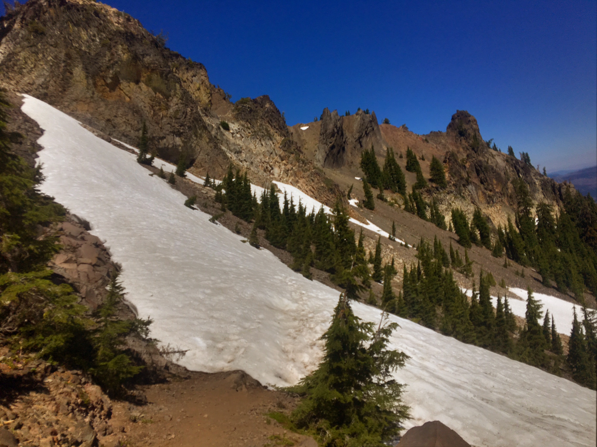
Still some snow on the trail…

Wild flowers too!

This group was doing a 200 mile horse packing trip southbound. They had a lot of questions for me about the snow ahead. I’m not sure how well the horses will navigate a couple of those steep snowy sections.

I need to look up what kind of flowers these are. They are starting to pop up all over the place.

The next milestone…1200 miles !
(Need to subtract 500mi for the part of CA I skipped and will complete in Sept)

A great Trail Magic surprise near Mt Ashland.

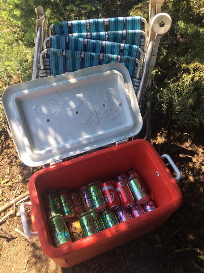
I had some extra motivation to put in my longest mileage day yet…the offer of a bed, shower, food and all the comforts of home from Jeannie and Minor Mathews in Medford, OR. They are the parents of a longtime friend of mine in Colorado (Shane). They are all avid blog followers and graciously reached out to me and offered to pick me up where the trail crossed the highway.

I warned them I was pretty dirty…

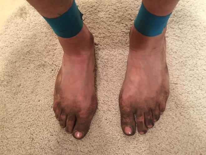
…but as any good Hiker-Trash guest should, was more than happy to accommodate keeping the carpet clean on my way to the shower.

Wasn’t Shane dreamy in high school?
(He’s going to kill me for posting this!)

The night ended with Jeannie’s homemade vanilla ice cream and blueberries 🙂

The last milestone for the day is that I got my first blister! Not sure why after 1200 miles, but big props to those folks who suffer through the first 500 miles with blisters on top of blisters!

Day 51, 7/16, Mud Springs, 1683, 30mi

It was an extra early start (woke up at 4:45 and hiking by 5:15) to attack the 4500′ climb out of Seiad Valley… and I didn’t want to mess around with the oppressive heat.

This is a view of the Klamath River about 500′ up.

It was a gorgeous day and not as a hot…especially up higher at 6000′.

The aptly named Lilly Pad Lake.

I seem to be passing through a wave of hikers both Northbound and Southbound. Here is a pleasantly shady lunch spot.

I pushed a little further (arrived at 8pm) to get a good view of the sunset…Definitely worthwhile 🙂

Cowboy camping among the pines.
(I even got cell signal somehow )