Day 31, 6/3, Death Canyon Crk, M-731, 27mi

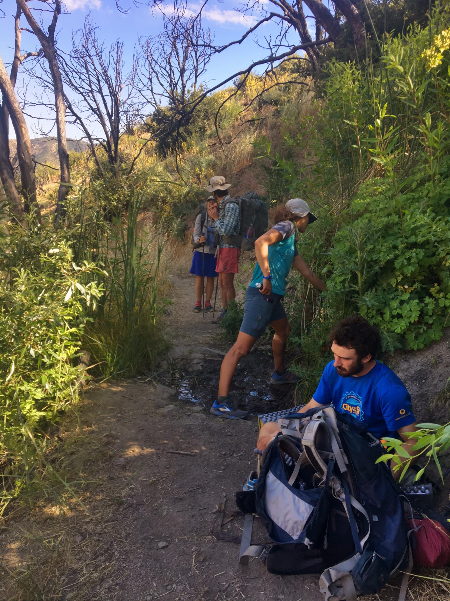
For the next ~250 miles the trail will not cross a road (dirt, paved or otherwise). Resupplies will require hiking off trail to get to roads and then hitching into a town. The first of which requires a 15mi roundtrip hike with a 3700′ of elevation change and then a 15mi hitch.

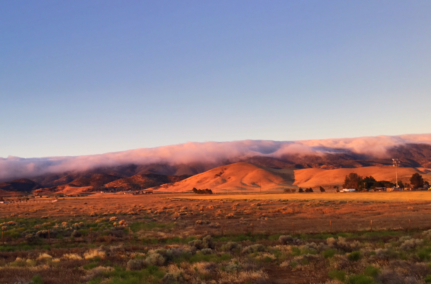
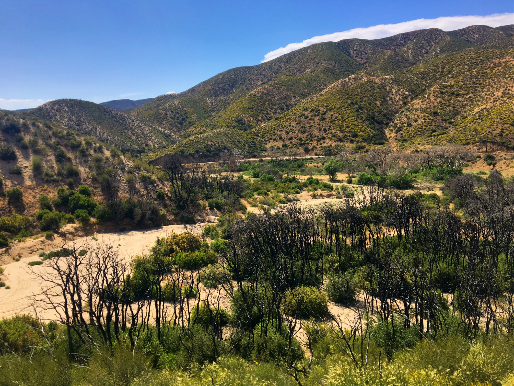
The scenery has made a dramatic change over the last 20 miles. Hopefully, these pics capture some of that.

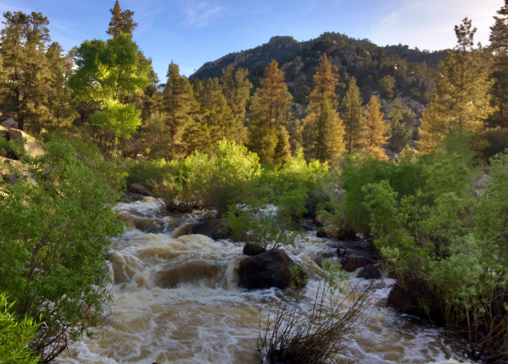
The Kern River is running strong…luckily, no fords today. The water is freezing. I stick my feet in at lunch to clean them off and I could last about 15 seconds per foot.

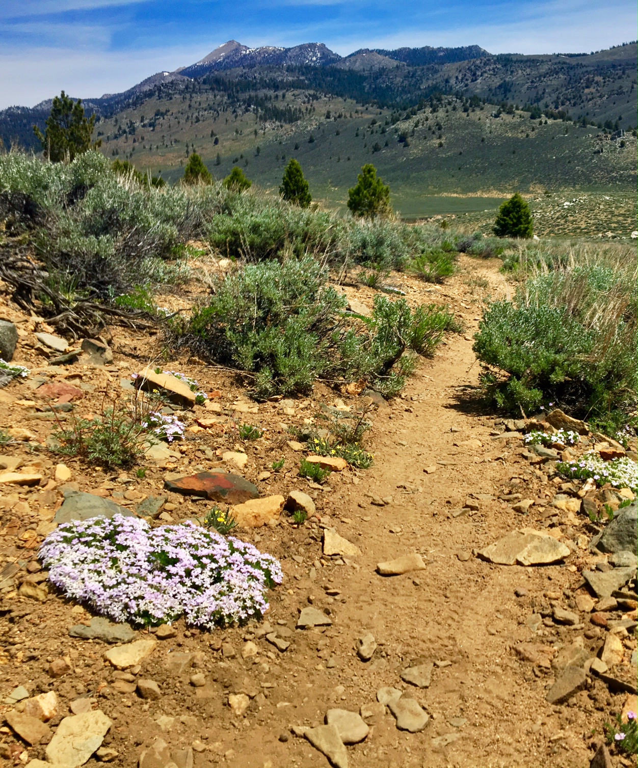
Desert wildflowers with Sierra granite domes on the horizon.

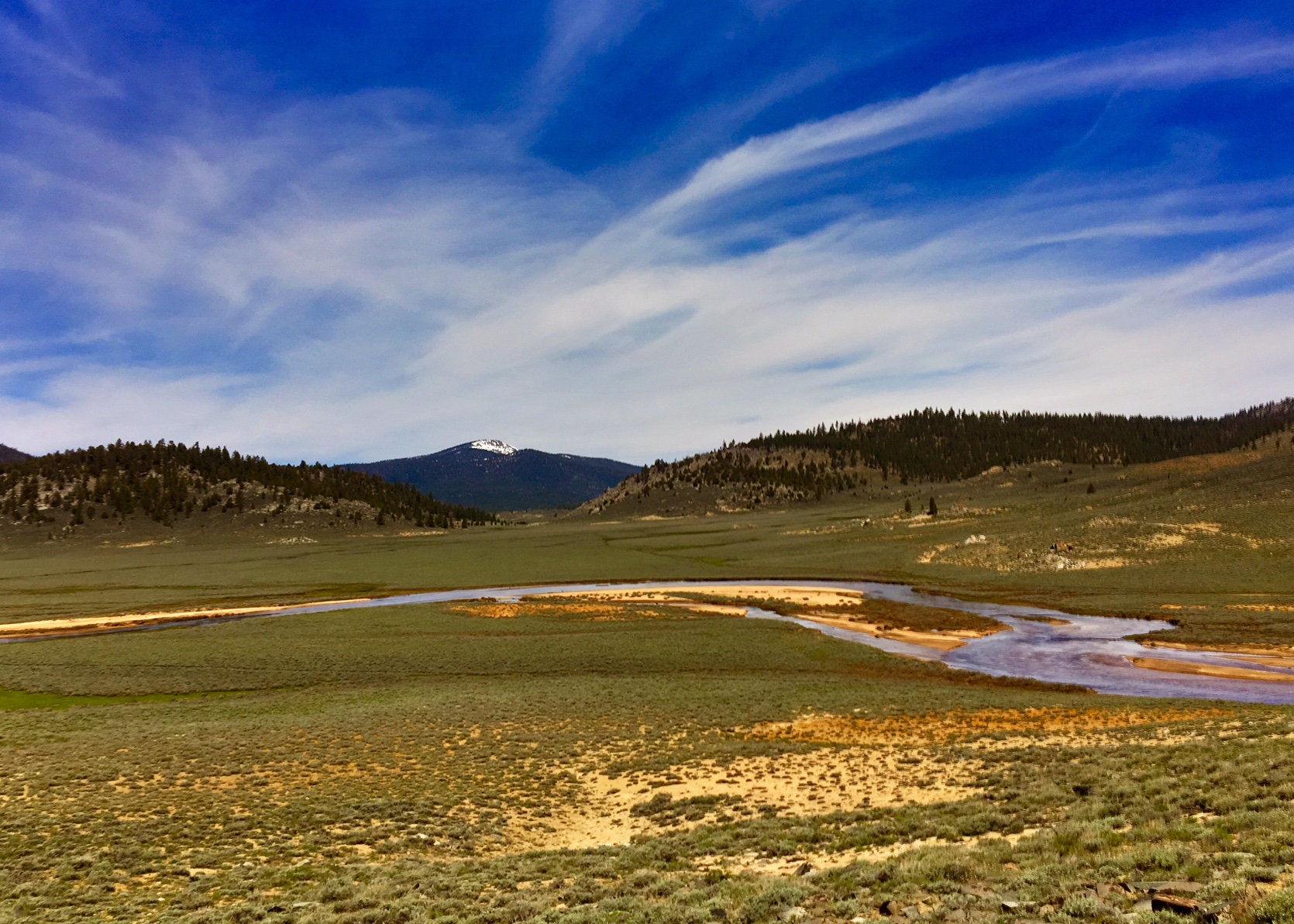
Rivers and meadows…the first we’ve seen so far.

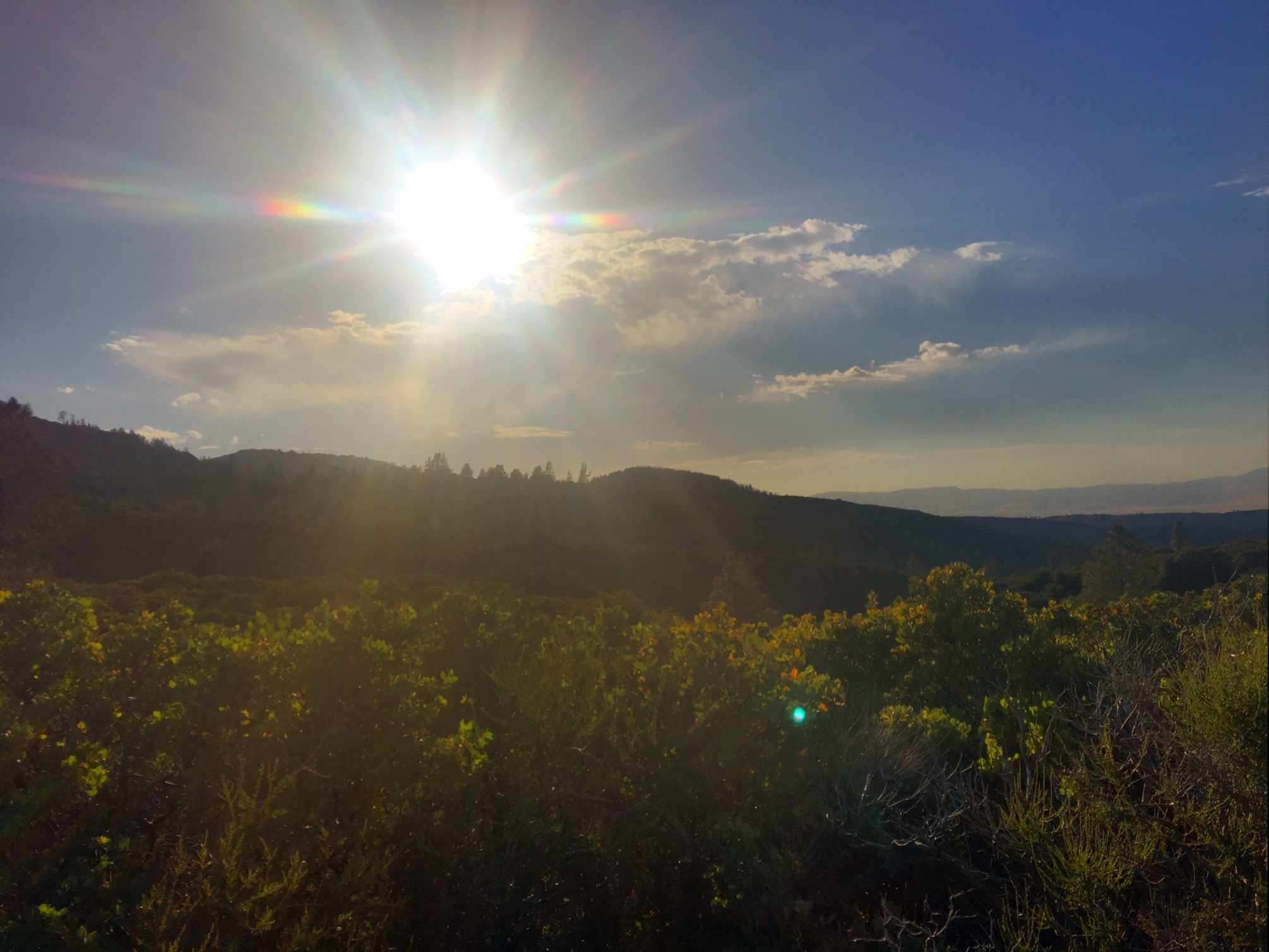
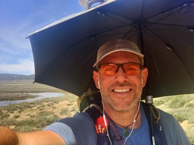
The sun was still warm as we climbed from 6000′ to 10,700′ so the umbrella is still welcome.

Plenty of snow over 10,000′. These guys are from Israel and snow is a new experience.

The spectacular Gomez Meadow….but the Mosquitoes were fierce!

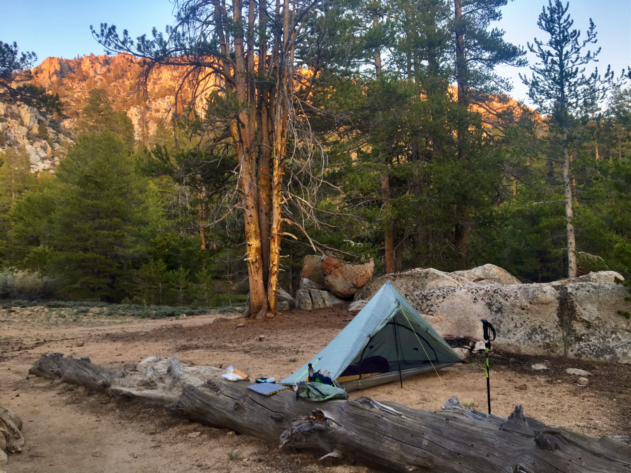
Home for the night at Death Canyon Creek. I’ll need to check on the story behind the name.

The first extended time in snow went fairly well.
Navigation is made easier with my PCT-GPS phone App. And most of the snow was on the downhill side so boot skiing was kind of fun.

Day 29, 6/1, Manter Creek, M-694, 25mi

Some exciting milestones have recently been checked off the list… I have now completed 25% of the trail, and I am finally inside of 2000 miles to Canada. Although, that first Milestone sounds impressive the second still seems kind of daunting! How is that I’ve gone almost 700 miles yet still have 2000 to go? I just keep focused on the fact that this is just a series of 3-5 day backpacking trips.

There was a very distinct cloud layer we hiked through on our climb up to 7000′ this morning.

Pretty soon we were above them 🙂

I still can’t get enough of the desert flowers. Pretty soon they will be a distant memory will as it will all be buried in snow!

More giant (and lethal) pine cones with huge barbs. This is from a Gray Pine.

About 40 mikes to the north (on the horizon) you can see the snow covered Sierra Nevada range.
I could even make out Mt. Whitney (14,500′). The change in landscapes over the next several days couldn’t be more drastic.

I had a camping buddy tonight next to the creek.

A sunset over the Domeland Wilderness Area.

Day 28, 5/31, Spanish Creek, M-669, 25mi

It was a bit cooler today with some cloud cover.
These are the last couple days of high desert before we get to the Sierras and we go from sand to snow.

This is “Just Bob” from Vancouver, BC. He’s 66 and motors, throwing down some big miles. Here he’s demonstrating how he checks both his Verizon and ATT phones simultaneously for service.

The skies were getting darker.

It’s like the Discovery Channel out here…and I don’t think they are wrestling!

As dark as the skies were it only sprinkled on me for a little while. The umbrella comes in handy that too 🙂

Day 27, 5/30, McIvers Cabin, M-644, 32mi

It was a very early start…I was hiking by headlamp just after 4:30am. The big bonus was watching the sunrise as I walked. This shot is the best of many that I took.

This is what it looked like about 30 minutes earlier.
The thin cloud cover helped keep temps in the low 80’s feeling pretty comfortable for a while.

A water cache about ten miles into this long waterless stretch (36 miles) was a welcome sight. It meant I could chug a liter on the spot and wouldn’t have to worry about rationing til perhaps later in the day.
I shaved the beard off the other day…going on 4 weeks is more than enough!

20 miles in trail angle Jim had his rig set up with plenty of sodas, beer and water to go around. It was Perfect timing to take a siesta during the hottest part of the day (1-3:30). Needless to say there would be no need to ration water today!
Folks were marking themselves comfortable

After 32 miles this cabin was home for the night.
(actually a camp spot just to the left).
And a gorgeous sunset to end the day just as it began.

Day 26, 5/29, Lander Meadow +3, M-612, 30mi

I was up before sunrise this morning to get as many miles in before it started to heat up. In addition to comfort, the next water source was 19 miles away and hiked by in the cooler temps minimizes the amount of water that needs to be carried.

Sunrise 🙂

Another Milestone…not sure why this person made it at 600.1 ?

It was nice to finally leave the wind turbines and scrubby bushes behind for the giant ponderosas and sugar pines.

An interesting but a area with crazy boulders and lots of flowers.

After a 30 mile day with only two water sources I set up for a little Cowboy Camping.

I have an extra early departure planned as the next water is 32 miles away. My plan is to head out around 4:30am get 20mi done before noon. Take a long siesta and do the last 12 after the sun drops a little lower (3:30?). There may be a water cache along the way some local trail angels maintain but you can’t really plan on it.

Day 25, 6/28, Golden Oak Spring, M-583, 17mi

A short post today….not a lot of pics to share.

There was a big exposed (to the sun) climb out of town and unfortunately I miscalculated my water needs. Normally, when I leave for the day it’s cool out for several hours and I know I won’t need more than a liter for the first 3+ hours. Today I hit the trail ~11:30 as I was finishing things up in town. Between the midday start, the warm exposed climb and the 17mi to the next water, my 2-liters was feeling rather inadequate. I didn’t run out but I was definitely nursing the last liter longer than I would have liked. Lesson learned!

I’ll pretty much stay anywhere that has a make your own waffle-station…thanks Best Western!

More windmills 🙂
(I’m camped under a set tonight as well)

Water at last! This was actually a great spring fed pipe with cold clear water you could hold your bottle under…it then collected in the algae filled trough. It was nice to not have to pick out green slime from the water!

Good night 🌙

Day 24, 5/27, Tehachapi, M-566, 17mi

A beautiful sunrise just before my 5:45am departure.

More beautiful high desert landscapes as we descend toward Tehachapi.

I find the whir of windmill farms relaxing. These giants are over 300′ tall !

Loco and Bronco cruising down one of the many smooth and well graded PCT descents.

Windmills as far as the eye can see.

We were greeted at the road crossing with some trail magic: cold sodas/beers and Dunkin Donuts.. Hiker Nirvana!

In case someone blindfolds your, spins you around and you get disoriented it’s nice to no which way to Canada 🙂

Crazy to think a short day is 17 miles. But it was a relaxed leisurely pace and the hiking was done by 1:15. The rest of the day was spent in the desert town of Tehachapi (one of the biggest towns we will be in for a long time…a Kmart). The Best Western where I stayed was inundated with Rockabillies descending into to town for a big weekend long event.

RIP Greg Allman (and Chris Cornell)

Day 23, 5/26, Mt Tehachapi, M-549, 32mi

It was an early departure for one of the more interesting sections of trail.

Sunrise from Hiker Town.

At 5:30am I started a 17 mile stretch along the LA viaduct.

These are the foothills we climbed down from yesterday.

There were a lot of Joshua Trees along the route today. Kind of like a Dr. Seuss book.

Here are several hikers camped out on top of the Viaduct (water is under the concrete cap).

We were very fortunate to have one of the coolest days in a while…highs in the upper 60’s. This can be a Brutal section in the typical 90 degree heat. Some folks who live in this desolate area were nice enough to leave out some trail Magic!

Jackpot!

As the viaduct section ended the wind farm section began.

Bronco and Loco enjoying lunch at the sunshade/ wind block.

Hiking through the wind farm.

After 17 mikes of flat viaduct / wind farm walking we started to gain some big elevation.

At the end of a long day and the top of the climb was more trail magic.

There was water, apples, cookies and they even had chairs set out to enjoy the sunset.

Day 22, 5/25, HikerTown, M-517, 26mi

Today was considerably more comfortable …actually cold now and then when the wind kicked up!

Here are some clouds rolling over the ridge we were hiking across most of the day.

Mile 500 !

Hiking through a scrub oak section was rather unusual considering all the desert cactus and pine forests we have typically be traveling through

…and then a beautiful meadow.

All the super-size pine cones are impressive. This variety (Colter Pine?) are not only huge but have huge sharp-pointy barbs at the end of each petal.

After a 15 mile waterless stretch this was the next water supply…needless to say I skipped it for the following one a couple miles down trail. Dead bird water is a no-go regardless of how good my filter may be!

Loco an Bronco scooped some out as emergency water…not pretty!

Descending into the Mohave Desert.

Home for the night is Hiker Town…a well known Trail Angel’s on going project (a miniature faux western town).

A small cafe 5 miles away comes by every hour and picks hikers up in their van.

The cafe/convenience store filled with hungry hikers.

Sunset over Hiker Town

Day 21, 5/24, Maxwell Camp, M-493, 28mi

It was another early 4:45am wake up call to beat the heat. Luckily, today wasn’t quite the inferno yesterday was. A decent breeze and some light wispy clouds made things more bearable.

This was a random sign at the top of one of todays climbs. If you zoom in you can see my man Jorge I met the other day has won this race 3 times in a row. Amazing to he can run 50 trail miles in 6.5 hrs!

This is Terrie Anderson a famous trail angel who visited while I was taking a siesta at the fire station. She even gave me a commemorative 2017 PcT hiker bandana.

There are a lot of charred trees in the mix.

In 40 trail miles there were only two water sources: the fire station hose and this seep in the side of the mountain. Needless to say, it was a popular stop on a hot day.

A little engineering to collect the water into a useful stream.

The elevation profile today looked fairly modest but was deceiving…6000′ of climbing !

This is a screen shot from my guidebook app. Users can post comments about what they come across. I like this one about the final water source of the day (needless to say I skipped the water here.

Although not quite sunset the intermittent cloud cover made a huge difference in the heat today!