Day 41, 6/13, Screwdriver Crk, M-1426, 30mi

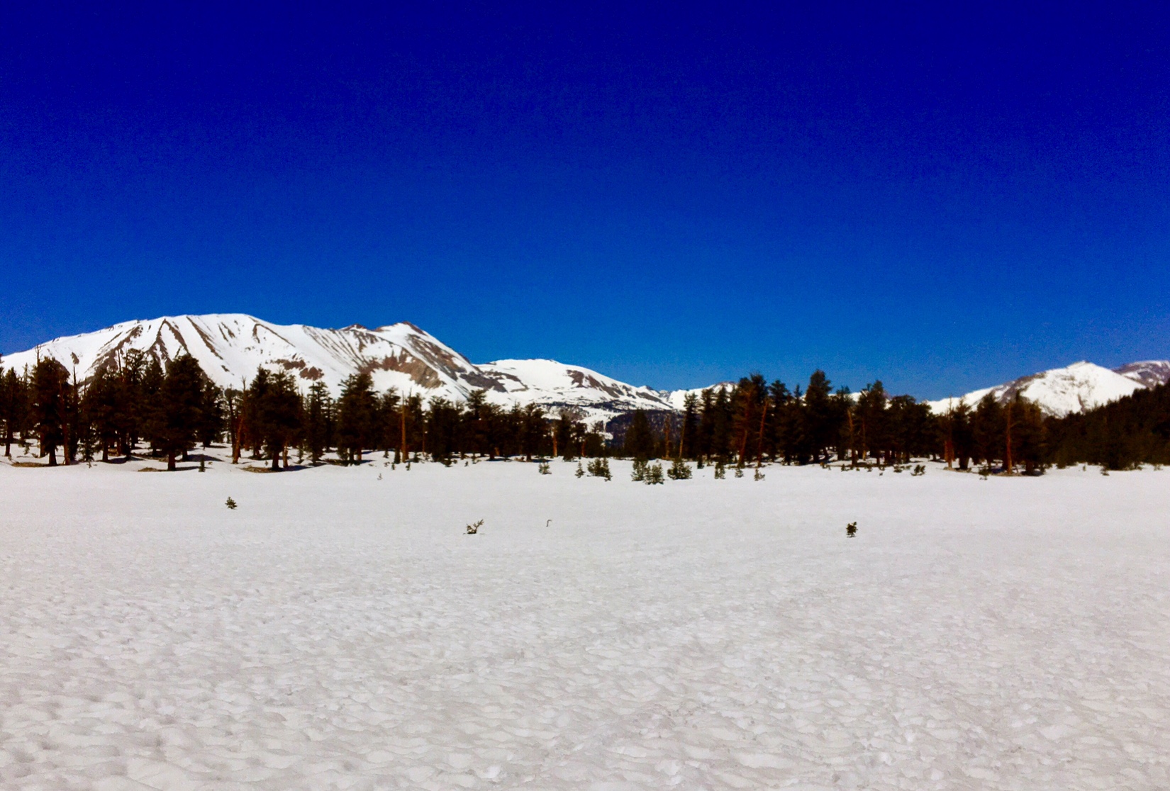
Today was a great day: the skies were blue, temps were perfect, trail was fast and scenic, plus there were some good stops along the way.

Baum Lake at mid morning.

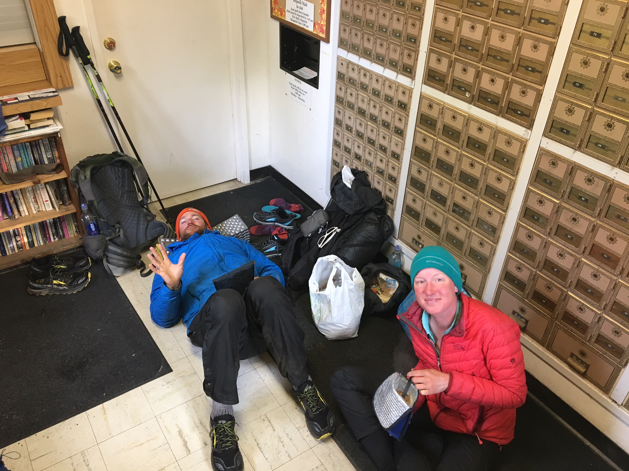
We had a nice break at the Burney Mtn. Guest Ranch for breakfast. Here is Loco buying some resupply provisions from the small, but very well stocked micro-store.

A couple miles later we had an impromptu stop at some trail magic

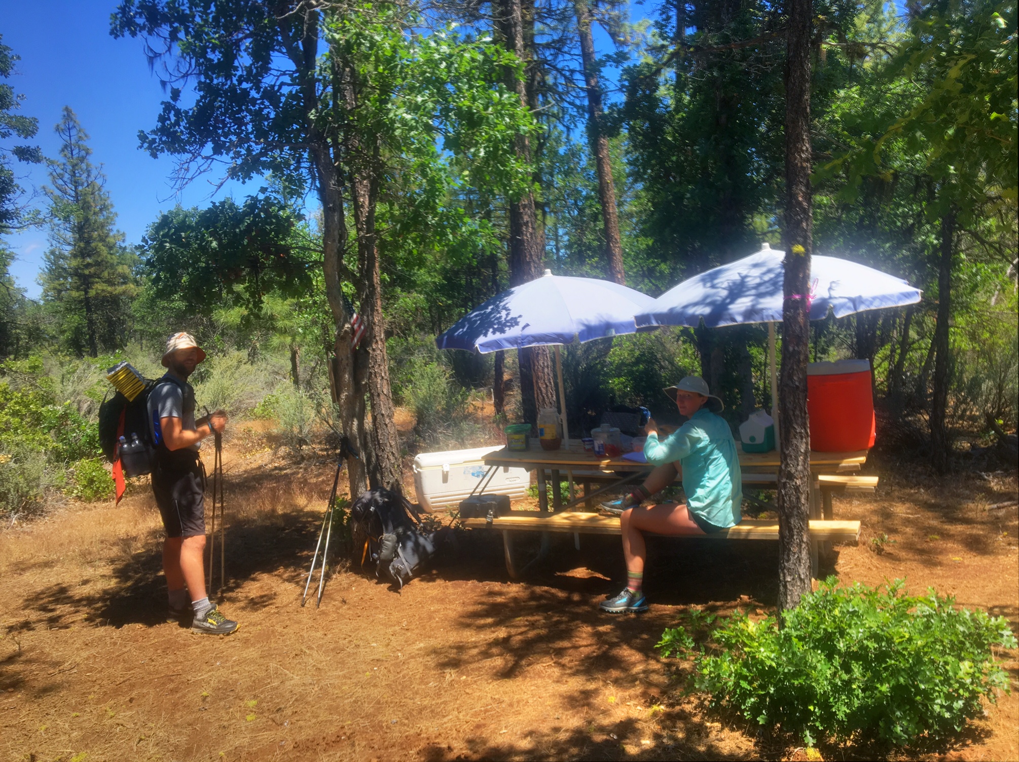
These are the trail angels that keep the sodas and snacks stocked.

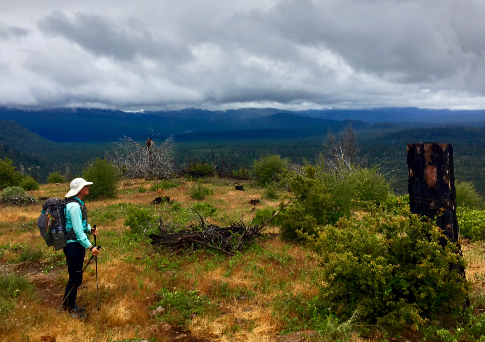
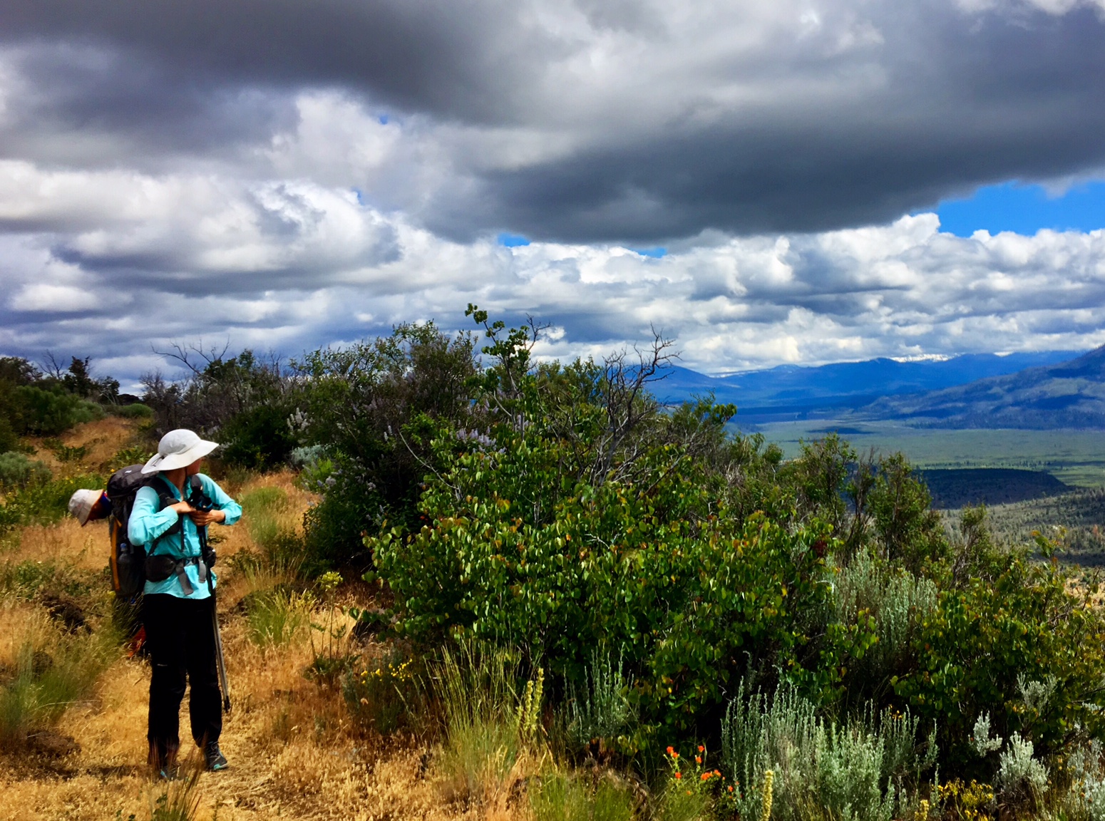
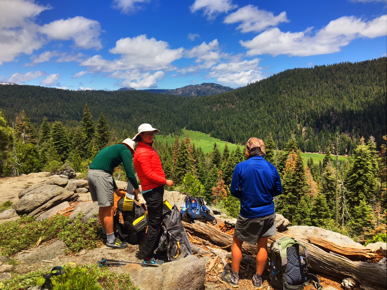
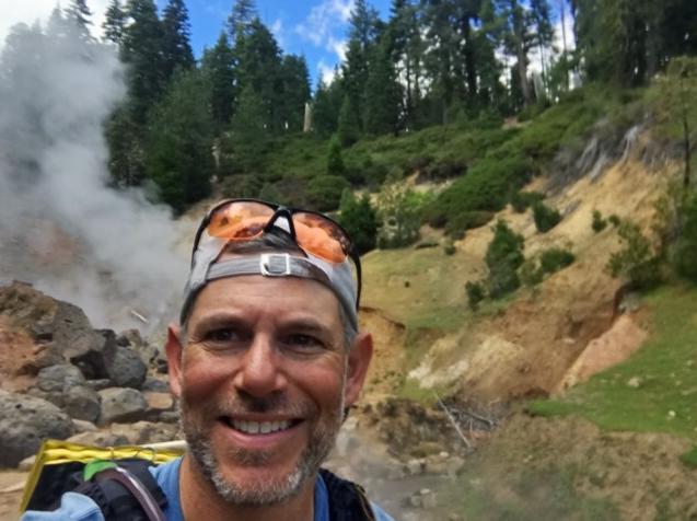
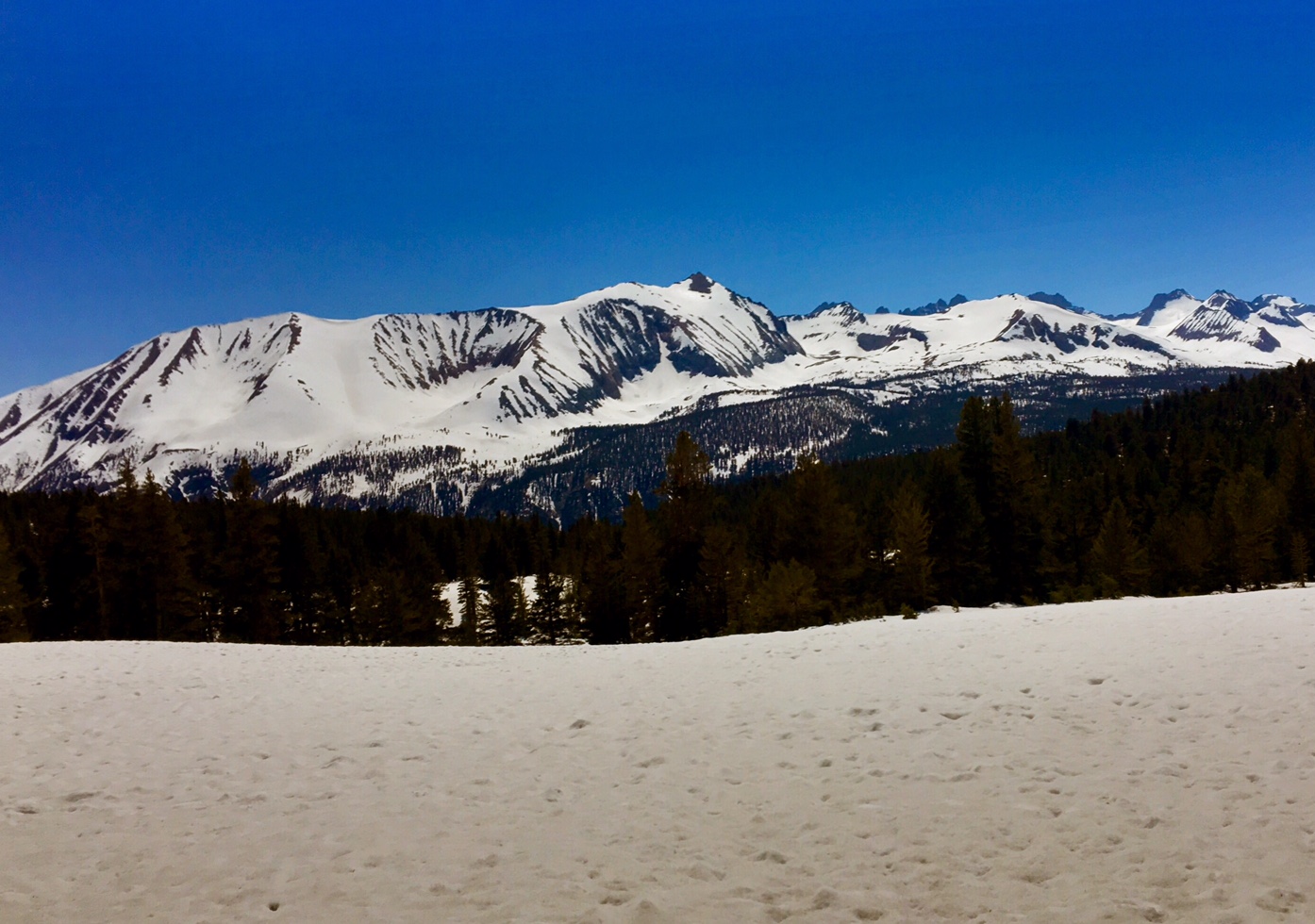
Now that we are in the Southern Cascades there is a lot of lava rock everywhere.

Our midday stop was at Burney Falls State Park.
(130′ high).

We had a pleasant evening hike out of the park.

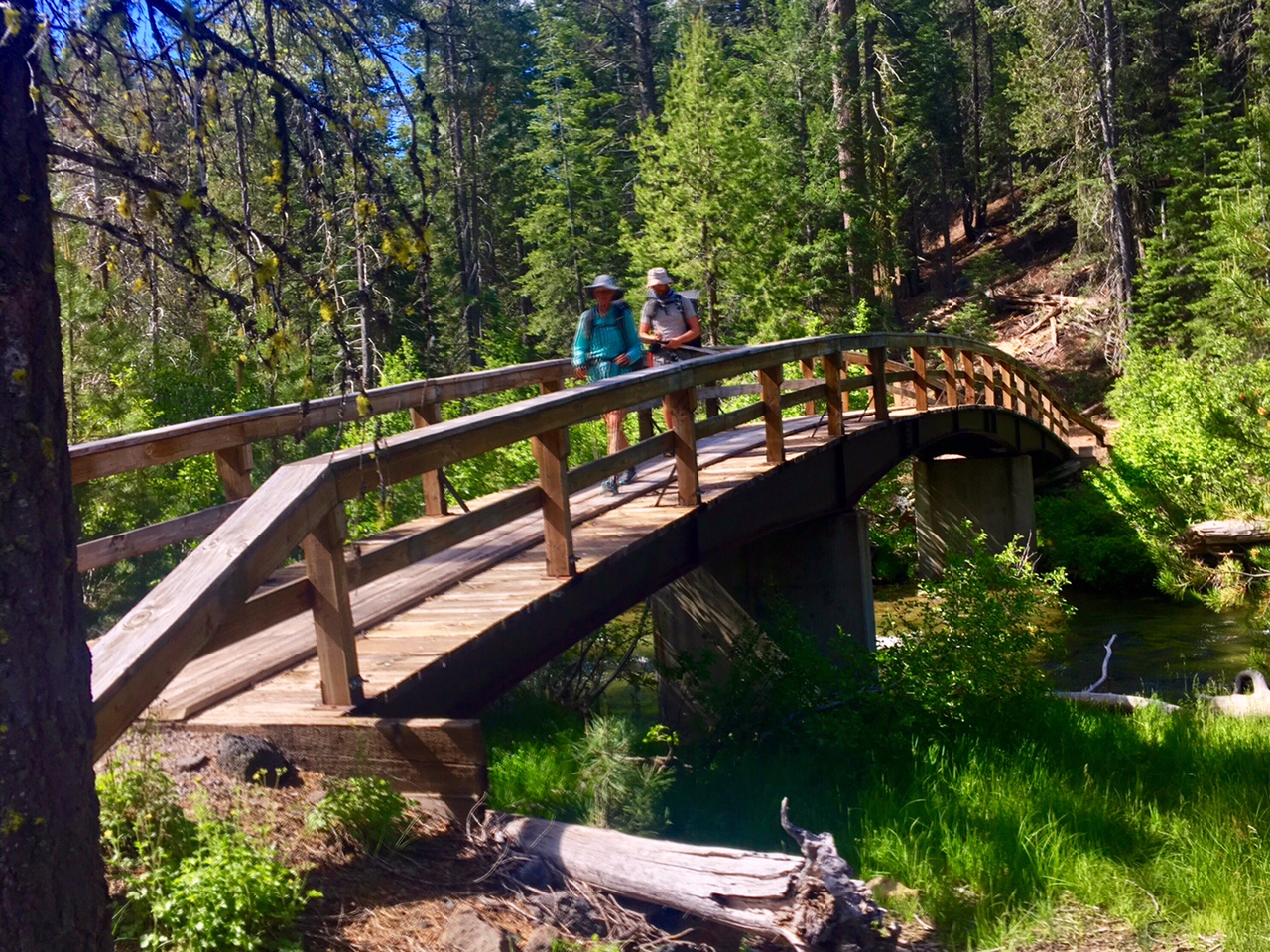
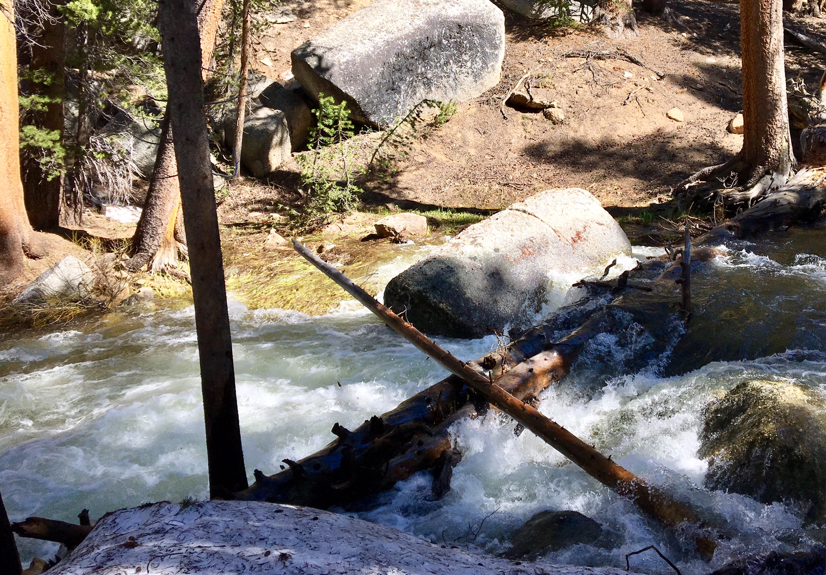
A stout bridge over the creek…so civilized.

It was a slightly longer day than anticipated as our originally planned campsite was occupied by several other hikers. The crazy thing is we hadn’t seen a single other northbound hiker all day.

Day 40, 6/12, near Burney, M-1397, 27mi

It rained a bit last night and cleared out by morning but it was cool and damp way to get the day started m. We hiked about 4 miles and were able to stop by JJs Diner just of trail for a big breakfast and great place to warm up. We prob spent two hours there! We finally got hiking again around 9:30

Here’s Loco enjoying the cloud obscured view.

Most of the day was on the Hat Creek Rim. This is a long waterless stretch (~30mi) but on a day like today with cool temps and full cloud cover it wasn’t much of a concern.

Crossing a cow pie infested creek/pond (water=no bueno).

More views from the rim.

There is actually one place to get water along this stretch…from a water tank (made famous in the movie/book Wild). There’s is actually a newer tank that holds the water (but not as photogenic).

The clouds would part ways every now and then which made regulating body temp more challenging than normal. Jackets must have come on/off 1/2 a dozen times.

The sunset from my campsite.

Yesterday, I forgot to mention that the bear canister requirement in Lassen is definitely justified. We saw fresh bear tracks in the snow all day and saw a large male just as we were leaving the park…he ran off quickly when we gave a yell.

Day 39, 6/11, Old Station, M-1371, 24mi

It rained and snowed pretty hard last night.
Luckily, the worst of it cleared out by the time we got up.

Shortly after leaving camp we gained some elevation and were hiking through a lot of snow from this past year’s big winter.

We actually had a lot of water crossings but they were all much tamer than the Sierra. We worked pretty hard to find logs since air temps were only in thirties (not good for warming up after wet crossings.

After 6+ hours of stream crossings, snow travel and navigating we had only covered 7.5 miles. Our goal of 24 miles looked to be out of the question and we’d have to push hard just to get in the additional 9 miles to exit the park.

We didn’t stop much today…we would get too cold. All of the sudden we were surprised to see ourselves out of the snow and finally took a lunch break. We had made a very gradual descent which was just enough to get us below snow line.

The rest of the afternoon was a mixture of drizzle, snow, gropple, and occasional sun. The best part was the exposed trail with no snow or navigation required. We were able to cover the last 13 miles in just over 4 hours as make it the full 24!

Our celebration for a long day were some drinks and snacks at an rv park near the trail.

We then utilized the tiny lobby of the closed post office to warm up and dry off (and eat dinner). (You are literally looking at 3/4 of the PO in this pic.)

Day 38, 6/10, Drakesbad Camp, M-1348, 20mi

It was about an 8mi hitch from Chester to the trailhead…a lonely road at 6am on a Saturday. Luckily Gandhi rolled up in his sweet VW bus.

The four of us were riding in style (me, Loco, Bronco and Salty).

Gearing up at the trailhead. A beautiful Northern CA forest with giant trees.

They even have bridges over their creeks!

A great lunch spot on a cooler day with just enough sun to stay warm.

As we entered Lassen Volcanic Park we checked out a smokin’ hot fumarole!

Approaching Drakesbad Ranch in Lassen NP.

Loco and Bronco showing off their stuff.

There were about a half a dozen of us at the Warner Valley campground under the big trees.

Today was a pretty relaxing 20 miles. By the time we started hiking it was 6:45. We took a couple relaxing breaks in the sun and still made it to our destination near the Drakesbad Guest Ranch by 3:00. We would have normally kept going but Lassen NP has a rule requiring backpackers who stay overnight use Bear canisters (which we had already sent ahead). So most PCT hikers get in and out of Lassen in one day (16mi). So we are camped the last place before the boundary.

It’s raining a bit right now while inside my tent. Tomorrow it’s supposed to snow and there is quite a bit still on the ground at elevations over 6500′ which we’ll hit tomorrow. At least there aren’t dangerous stream crossings to contend with 🙂

Day 37, 6/9, Chester- Church, M-1328, 0mi

Today we covered 540 trail miles…via three different shuttles. It was a long day of travel (7am-7pm) but all went very smoothly, and frankly, it was shorter than my typical hiking day.

Here are Bronco and Loco on the shuttle to Reno.

We met another hiker named Salty on the way who was happy to tag along.

While waiting for our 2nd shuttle we had an hour+ to go to the post office so L/B could mail their bear canisters and ice axes ahead.

Chill in’ at the bus station in Reno!

Our last transfer was in Susanville, CA

75 minutes later we were in Chester, CA. A friendly little trail town where the Lutheran church lets hikers camp in their yard.

We walked across the street to a sports bar had some food/drink and watched the NBA Finals.

Tomorrow AM we will have a short 8mi hitch to the trailhead and then hike about 20 miles to Lassen Volcanic Park.

The landscape up here is quite different, so I will be sure to share some of those pics.

Day 36, 6/8, Bishop, CA, M-788, 0mi

Today marked the beginning of my 6th week on trail, and almost as importantly, my first ZERO day… Hiker speak for zero miles hiked!

I spent most of the day organizing gear and coordinating logistics which I will get into later.

As many hikers do in this area, I hitched 40 mikes up the road to the much bigger town of Bishop. This is Brett showing us how it’s done with the High Sierra behind us. We got a ride pretty quickly from a lady who was driving from San Diego to Tahoe. I didn’t even have to ride in the back of an open pick up truck…front seat of a Prius!
0

After spending the last day and a half assessing trail conditions ahead and the potential risks of the upcoming sections I made the only rational decision I could realistically make…skip ahead so as to not get in a position where I have to choose between fording a creek that shouldn’t be crossed or backtracking 40+ miles off a side trail to town. There have been some harrowing accounts posted on Facebook recently (https://www.facebook.com/marcus.mazzaferri/posts/10209213010268845). The situation out there becomes very binary, as in everything is good until, it’s not!

After that decision was made I had to figure out where to go. Snow will not be avoided this year (not my reason for skipping sections either) but I will be able to minimize some of the biggest risks. The final decision is to go to Chester, CA (~Mile 1325) which is 8 miles from the trail and near Lassen Volcanic Park. From there I will hike North to Canada and then I will figure out how to get back to Chester and hike South through the Sierra finishing at Kearsarge Pass, where I left the trail yesterday.

Then there is the matter of figuring out where to leave gear (bear canisters, ice axes, etc) and decide whether micro-spikes are needed (yes).
Then figure out new locations to send resupply boxes to. Lastly, there was the matter of coordinating the timing of three shuttles to get me 350+ miles north.

The other good news is that Loco and Bronco made it out of the mountains today and were in high spirits after showers, laundry, food and drink.
1

They also had a difficult journey over their last 5 days and were torn as to what to do moving forward, but ultimately liked the fact I had figured everything out and were on board with jumping north tomorrow. So at least I will have some company on the 12 hours of travel to Chester.

Day 35, 6/7, Independence, CA, M-788, 9mi

Today’s miles were mostly off trail to get over Kearsarge Pass and get to the town of Independece, CA to resupply.

I ran into these guys just as I headed out of camp, all who have hiked the AT in the last 2yrs. I even met one of them last year at the Woodshole Farm! They are getting their AM coffee fix at Bullfrog Lake.

B-Rad hikes with his service dog Lola.

A morning of snowfields.

Several hiker-specks making the final ascent.

A break at the top of the Pass to gear up for the glissade down. (A link to the VIDEO).

Here we are 2500′ below the odd at the Onion Valley trailhead hoping to find a ride 15 miles down the mountain into town.

One way to find shade…these boxes are used by day hikers so bears don’t break into their cars trying to steal food.

After three hours one of the four vehicles in the lot was finally leaving. We fit 8 hikers and packs into the Toyota Tacoma.

I hung on for dear life 🙂
I woke up this AM to maybe 30 degrees and snow everywhere. By 2pm I was in town where it’s 98 degrees…just can’t win 😉

Day 34, 6/6, Vidette Meadow, M-787, 15mi

This was the view at my 5:15am departure.
Unfortunately, all I could think of was how was the dread of crossing Tyndall creek in 2 miles, a rather large fast moving creek 5 miles before the 13,000′ Forrester Pass.

After wandering a 1/2 mile upstream I couldn’t have been happier to find this isthmus of snow to get me across safely and dry!

Can you figure out how we will get over the 13,000′ Forrester Pass headwall? Answer below.

Here’s a clue…

And another… (at least someone had cut in a footpath through the snow!)

This was the approach (after climbing the vertical snowfield). The trail here is a true feat of engineering.

Made it to the highest point on the PCT 🙂

The view from where I came up from.
The view on the way down.

This is what navigating through the woods looks like…

..or this.
Luckily GPS helps immensely but it doesn’t account for the giant berms of snow or trees piled up like pick-up-sticks from avalanches.

Then there’s postholing up to your crotch (no pic), or navigating fields of sun cups (these are 5-10″ deep).

The end of a long day got me to Vidette Meadow in Kings Canyon NP. The first dry land I’d seen all day…although most of it was mushy ground.

I found one good dry spot at the receding snow line between creeklets and some more mush. And surprisingly, there were no mosquitos.

Forrester Pass

A full day on trail and I saw zero people until 1/4 mile from camp…kind of crazy!

Day 33, 6/5, Bighorn Plateau, M-773, 20mi

It was a cold morning…camping at 11,000′ has that effect. The reward were some great views.

Starting to see more and more snow on trail. A function of elevation and aspect (to the sun).

Sketchy creek crossing #1 today. I still had my micro-spikes on from the snowy descent which made the slippery log much less of a concern.

Pretty soon it was basically all snow.

One of the few, non-frozen lakes.

Sketchy log crossing #2. Although, I used a less sketchy log to cross on.

Normally, this would be a big meadow… according to the guidebook.

Nothing more to add.

Sketchy log crossing #3. I was thankful to find this log a 1/4 mile downstream. I did not take a picture of the wet-crossing I made a mile before this. Luckily, the sun was out and there were some warm rocks to lay out on. These aren’t even the big crossings yet :-/

Mt. Whitney is in the very back… steep left side and shallow slope on right side.

After a long day of slogging through the snow, constant navigation to stay on course, four stream crossings, I then had to find a snow free place to camp…not so easy. This small outcropping at 11,400′ would have to do. Not even a big enough flat area for my tent….

But just big enough for my sleeping bag and pad.