Day 8, 4/13: Mile 100, Albert Mtn Tower (16.5mi)

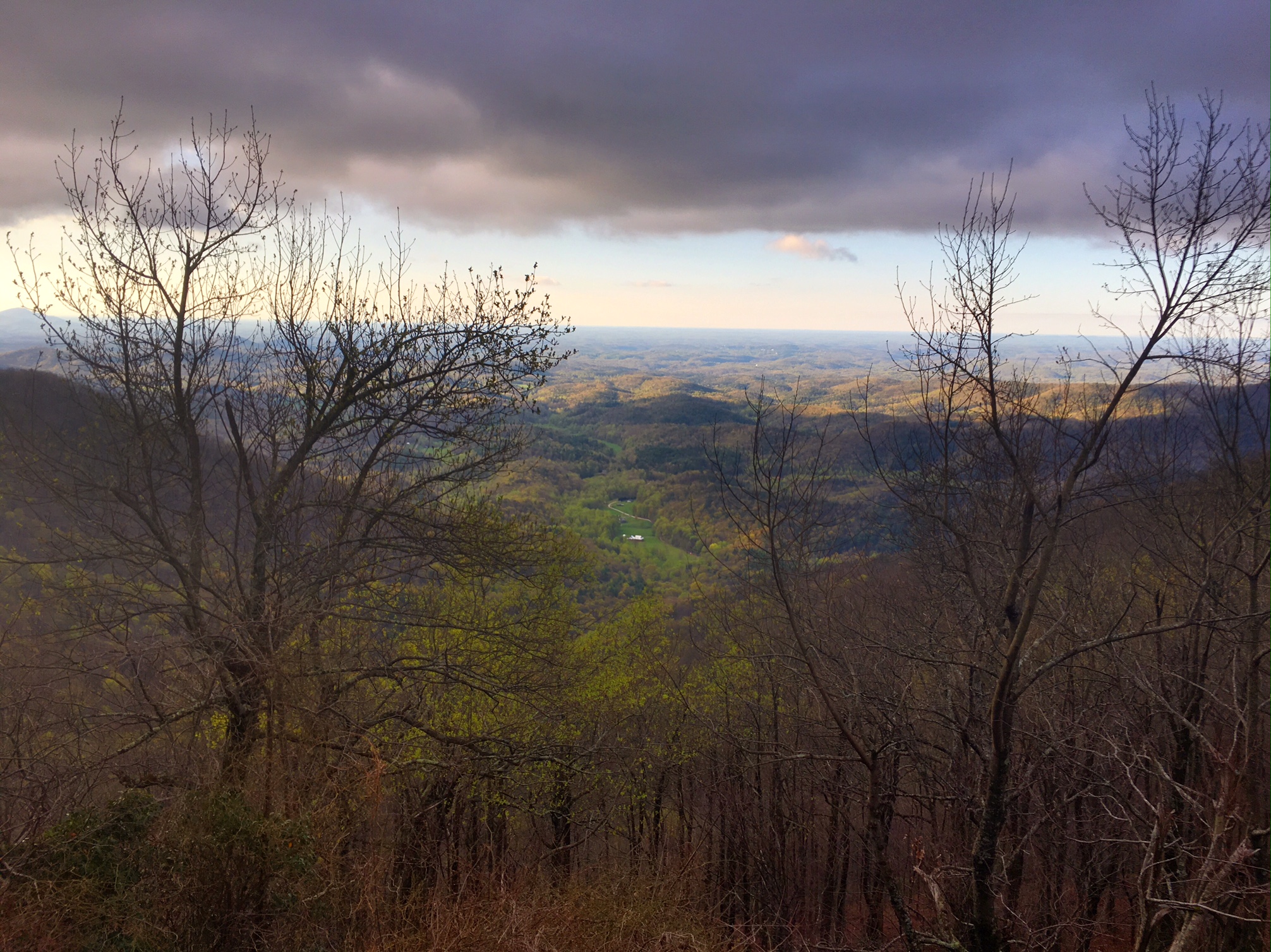
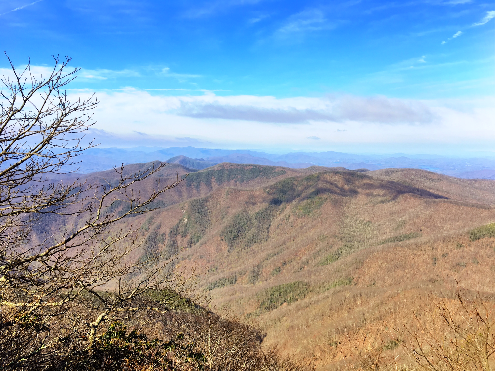
The day started with a relatively easy climb to the highest point we’ve seen on the trail so far, Standing Indian Mtn at ~5400′. The views were spectacular!

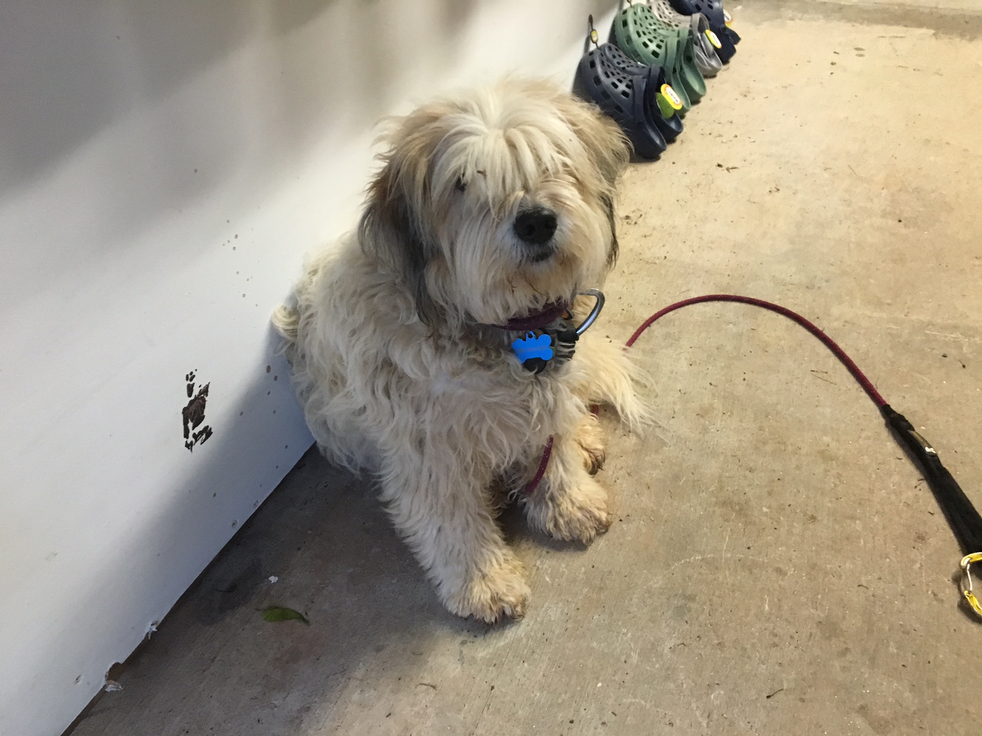
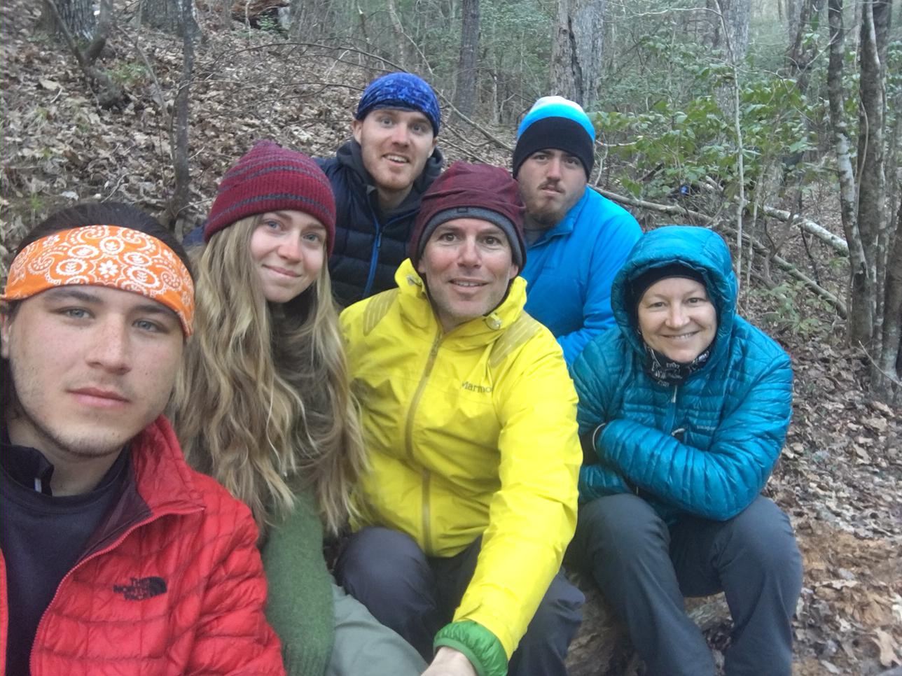
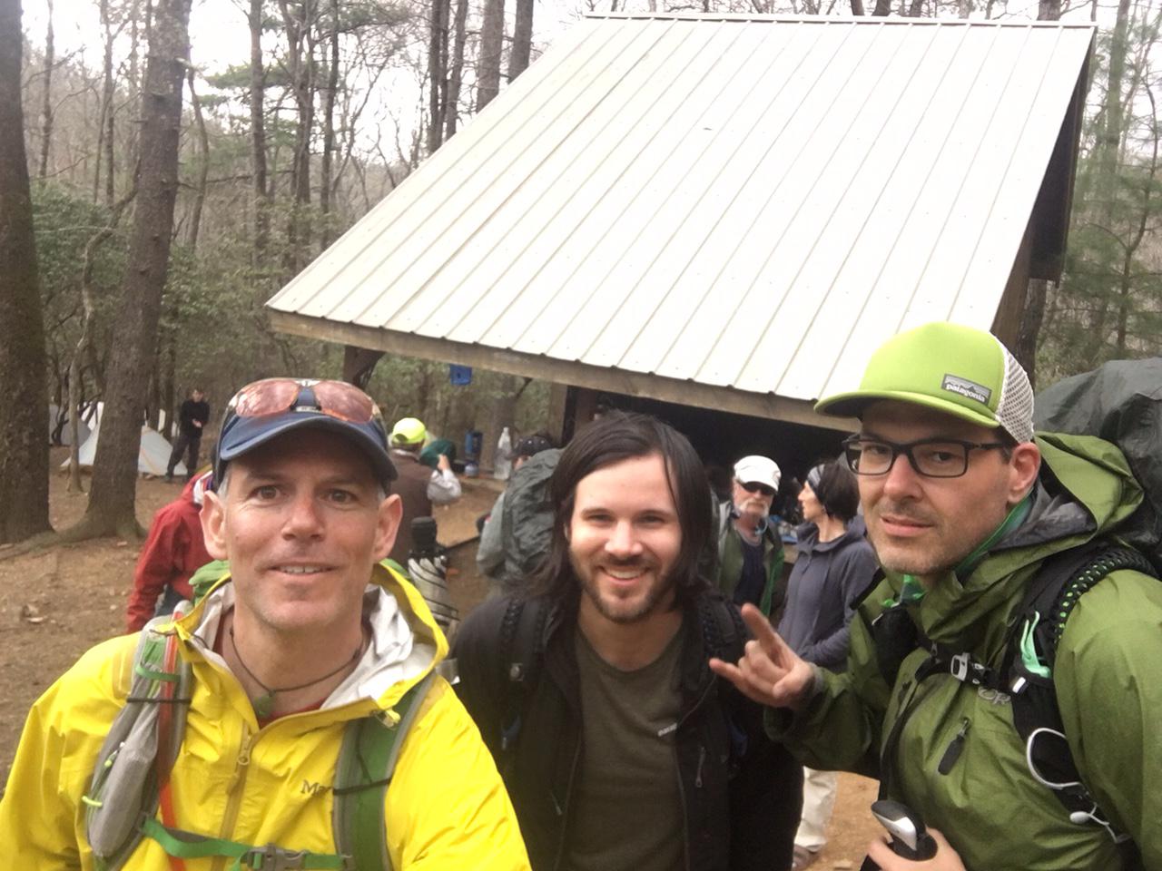
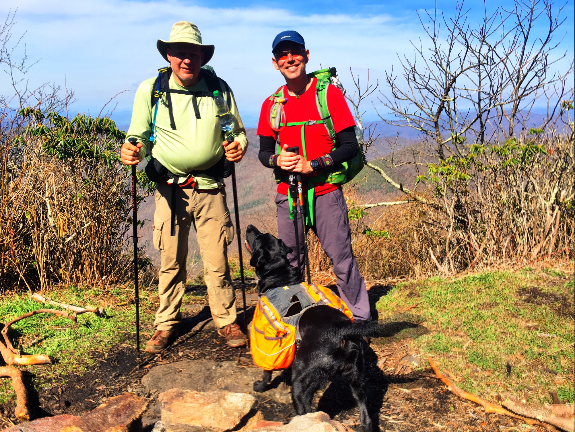
Here are my hiking partners for the morning (and last nights camping-mates), Olive and Olive’s Human (aka Rob from Ohio).

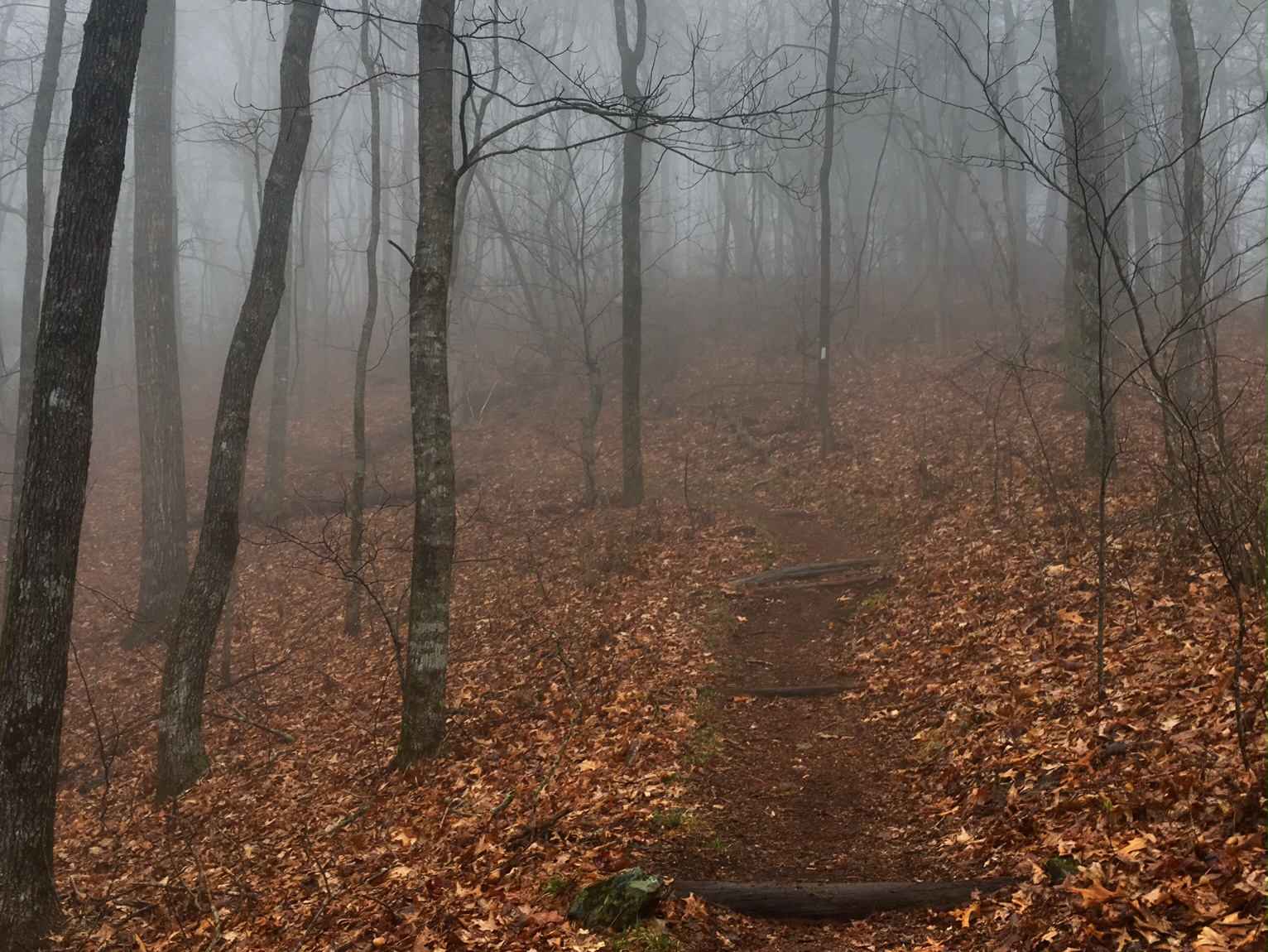
Now entering the “Green Tunnel”…

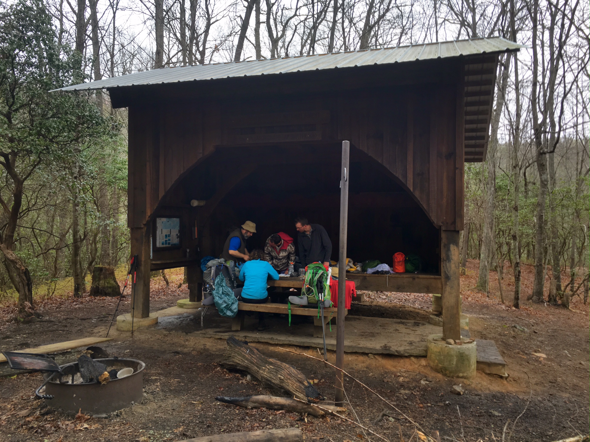
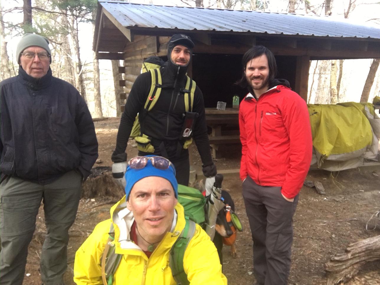
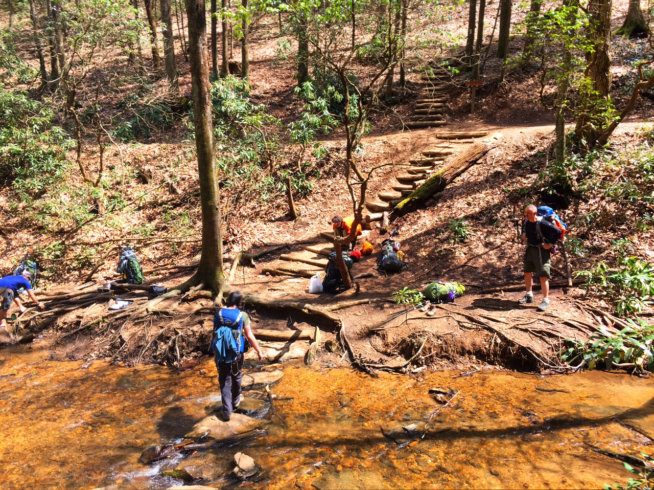
A lunch stop at the Carter Gap shelter…

Nantahala is Cherokee for Land of the Noon-day Sun (I think this is because you can’t see the sun until it’s directly overhead when the trees leaf out)

The last 1/4 mile of today’s 16.5 mile day was a grunt! This was a quintessential AT climb, I’m actually surprised we have experienced this sooner. It was very technical hike up steep rocks and slick roots…

A panorama from the Fire Tower…

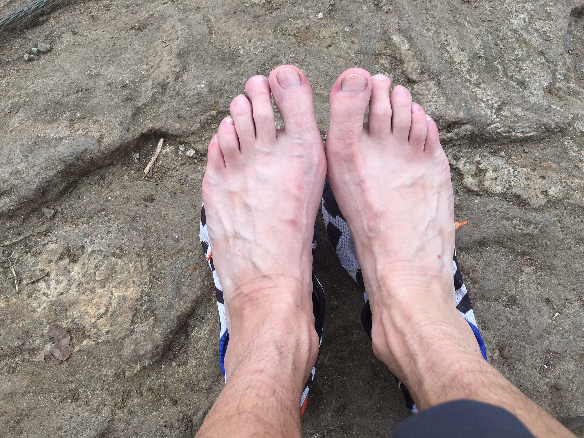
I meant to take a before picture of my feet…they are still in pretty good shape. I’ve been experiencing some intermittent discomfort on the top of my left foot (not sure from what?), as well as tightness in my Achilles at the heel which ebbs and flows throughout the day. Hopefully, this get better as I get stronger…rather then worse.

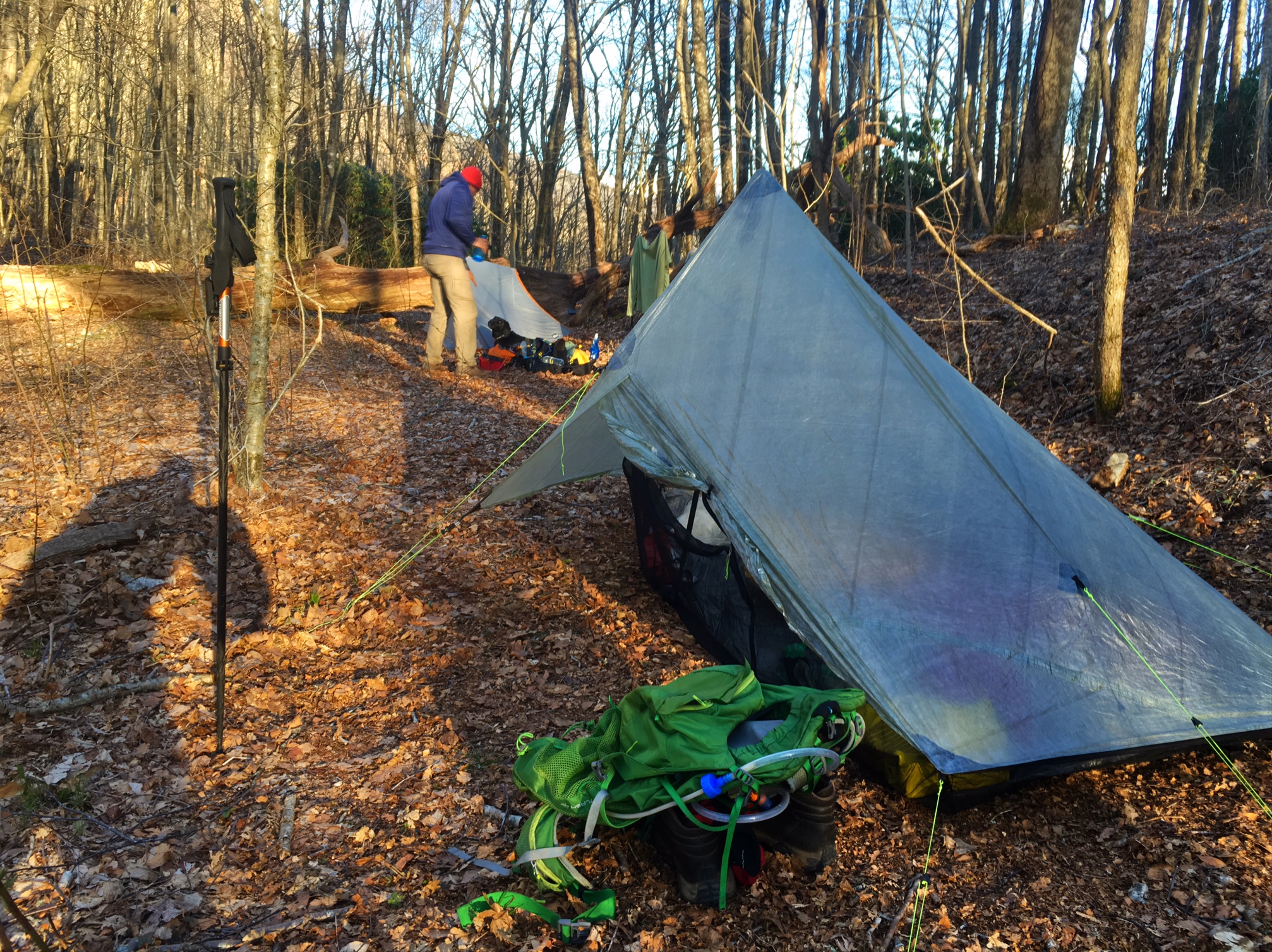
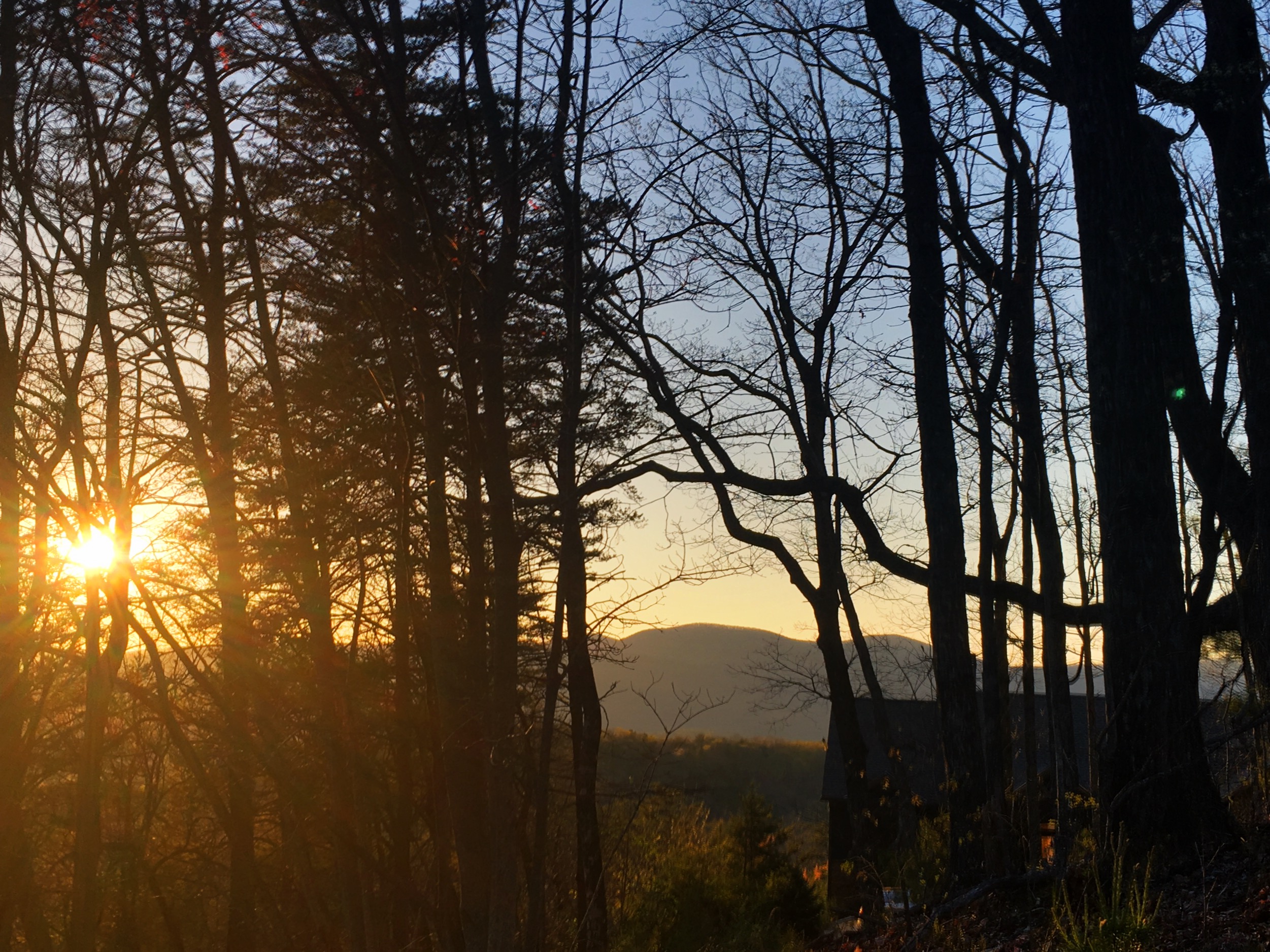
Apparently, I wasn’t the only one with the idea to camp at the Albert Mtn fire tower. This is Kaysa and Jessica from Ohio who are doing their first backpacking trip (a 25 mile loop). They were kind enough to start a fire and invite me to join them. We he a good time chatting until the sunset and when we all went into our tents…brrr! The plan in the AM is to watch the sunrise from the tower. Luckily the sun doesn’t come up until ~6:45am.

Bug Juice- out

Day 7, 4/12: Mile 83, White Oak Gap (14mi)

Luckily, the big rain didn’t materialize and the morning was overcast and a bit damp but nothing too bad. I hitched a ride from the motel to the trailhead around 8:30 (motel shuttle left at 9). Before leaving I got a picture of the motel dog Deeogee….

This is Rooster who gave me a lift to the trailhead. He looked and sounded just like The Dude from the Big Lebowski (with a southern accent).

It was perfect hiking temps inter 50’s and kind of misty….

A 2nd breakfast stop at the 3-level Plum Orchard shelter. ..

Hiking thru the Rhododendron tunnel…

Here I am crossing my first state line: goodbye Georgia, hello North Carolina…

Hiking friends for the afternoon:Eric and Sparkles from Boston at a very cool old tree…

This is Olive and Olive’s Human (aka OH) next to one of my favorite side trail names…

Olive, OH and I found a great camp spot with a terrific sunset at White Oak Gap.

For all the forecasts of 1-2″ of rain we ultimately got next to nothing m and the sun came out for a bit. Lesson learned, don’t plan your days around the weather forecast.

It’s quite a bit warmer tonight with lows in the 40’s…yay!

Day 6, 4/11:Mile 69 Dicks Crk Gap, Hiawassee (11mi)

Woke up to a cool wet morning on top of Tray Mtn…kind of stuck in the clouds.

Not exactly sure what this sign referred to:

The skies started to clear and the sun came out and I was finally hiking in a t-shirt and shorts!

I hitched a ride into the town of Hiawassee about 12 miles away and was doing laundry and getting a shower by 2pm. This is 6 days worth of filth in the sink… wash, rinse, repeat! I hate to see what this looks like when it really starts to get sweaty and muddy on the trail.

Drying out clothes and the tent on the motel lawn.

The gear explosion wasn’t too bad considering three of us are sharing a room: Miles, now known as Makin’ Miles and Zach now known as Go Lucky.

I will take credit for giving them their trail names. I’ve named one other hiker so far; Dave from NH was given the choice of Care Bear or Spirit Bear (his hiking buddy is named Polar Bear and they are both big guys). Dave went with Spirit Bear, especially fitting since he is 1/8 Penobscot Indian.

It’s supposed to be kind a wet day tomorrow so it could be a slow departure from town. It will be a good day to be doing mostly uphill…it keeps you warm 🙂

Day 5, 4/10: Mile 58, Tray Mtn Shelter (14mi)

It was a busy day…I was hiking at 7am (sunrise) and it was just above freezing. The miles were pretty mellow so I made good time (plus I hike fast when I’m cold!). I caught up to Mace who left before sun up and we hiked together for about 5 miles. Then I continued on to Unicoi Gap, 8.5 miles in, to catch a ride into Hiawasee to resupply.

I hitched a ride pretty quickly from
a nice couple from Nashville and was in town just after 11am to pick up my resupply box. I was planning to stay in town but the weather was good so I took two days of food and left the rest at the motel where I could get it tomorrow night by hitching back from another road xing up trail…plus it’s supposed to storm tomorrow night. I hitched a ride back to the trail with a nice guy named Phil who lived in town.

There was some Trail Magic set up right I the trailhead parking lot (soda, hot dogs, cookies, chips), plus some chairs to relax in. I chatted with a couple hikers I’d met who caught up to me (Zack to right of me and Chris and Florian in the back).

My phone/camera was on the fritz all day so not many pics. I don’t think the battery likes the cold weather 😦 There were some great views on top of Tray Mtn.

This is Never to Late and his dog Hiccup (Rat Terrier-Blue Healer mix)…

View from campsite jut below top of Tray Mtn (not my tent…

Mace’s cool hammock/tarp setup….

My tent after sunset…

Was thinking of camping at Mile 60.9 but the name kind of creeped me out…image
Should be a shorter day tomorrow (11mi) and looking toward to a shower and clean clothes !

Day 4, 4/9: Mile 44, Poplar Stamp Gap (13mi)

It was a very windy night camped in my little tent, but she was up to the task. The wind was still howling in the morning and most of the day. The picture below is of the famous Mtn Crossings CCC building I was camped behind. The AT literally goes through the breezeway.

This is a picture of Daddy Long Legs carrying “Paul’s Shoes” which is an incredibly touching story I had heard about before I left. Paul lived in Australia and was making plans to hike the AT last year when he was diagnosed with a very aggressive cancer and died several months later. His wife reached out to the hiking community to find someone to take his shoes on the journey and send her pictures along the way. I think the website is PaulsShoes.com So cool to actually see Paul’s Shoes !

Great view on a bluebird day from CowRock Mtn.
(but very windy and cold !)

Some new AT friends around the campfire at Poplar Gap campsite.

Selfie shot with Dave, Gretel, Mace, Polar Bear and Trail Mix.

A tight fit squeezing 5 tents on the only small flat area.
5

Also wanted to make sure I didn’t forget to mention i will being going thru Young Lick Knob tomorrow…no joke !

Day 3, 4/8: Mile 31.7, Neels Gap (15mi)

It was a cold start this morning in the upper 30’s, but the skies were clear and there were some good views.

I hiked most of the day again with Miles from BC. I’m trying to convince him to go with the trail name “Miles from Nowhere” or “Miles to Go”
We met another guy named Chris hiking with his dog Greta and stopped at a shelter for lunch where we ate with Pappa Crusty…you can guess who’s who.

The big climb of the day was to the highest point in Georgia…Blood Mtn (~4500′). There was this really cool CCC shelter at the top.

This is the awesome patio/overlook at Neels Gap. There is an outfitter store behind us that sells gear and hiker food and sends home tons (literally) of unwanted gear since so many people over pack.

This is the hiker shoe tree out front…brilliant!

Some of the folks I met decided they wanted to be more civilized tonight and rented a cabin. I’m camping since I’m planning to resupply in town in two days, but o hung out with them for a bit tonight.

Day, 2, 4/7: Mile 17, Gooch Gap (14.5 miles)

It absolutely poured and thundered with big strikes of lightning through the night. Luckily, it cleared up by the time I woke up ~6am. It was Quite brisk in the upper 30’s. I headed out around 7:30 with a nice guy named Miles from Victoria, BC. Here we are hiking through some rhododendron that will be stunning when they bloom in several weeks.

Water seems to be a natural congregating point for hikers…much like cattle. The sun was out and things warmed into the upper 60’s. This was great place to soak the feet about 11 miles into the day.

The Gooch Mtn. shelter was today’s planned destination but as you can see, it was a tent city by 3pm so I decided to hangout for a bit then hike another 1-2 miles in the evening and camp along the way.

Miles and another hiker, Tony from VT joined me.

We found a great spot and met Odie who makes the Hiker Yearbook (old school) and hung out by a fire next to his school bus camper. Far more relaxing then the tent city.

A great day that ended with some late evening rain driving us into our tents around Hiker Midnight (8:30).

Trail Mile: 17.4

Day 1, 4/6: Mile 2.8, Stover Crk (11.6 mi)

The hardest part of a difficult journey is taking  the first step…and that step was taken today. The Lodge shuttle drop us off at Amicalola Falls State Park on a cool 40 degree morning around 9:15.

After registering at the visitor center (#1335 for the season…plus a similar amount who start 9 miles ahead near the top of Springer Mtn), photos were taken at the famous approach trail arch and off I went.

There are a set of ~630 steps about a mile in that help you reach the top of the falls.

The official start of the AT is about 9 miles along at the top of Springer Mtn, identified by the famous hiker plaques and the first official White Blaze that marks the trail all the way to Mt Katahdin in Maine.

There was a great view from the top of Springer. Leaves haven’t quite budded at this elevation yet.

Home for the night was the Stover Creek shelter (a fancy two story variety). With a motley crew of thru hikers and section hikers from all over the country and world (a couple of Germans)

Black bears are fairy active in the area so shelter also provides cables to hang your food from (in background…FYI, not my tent).

A successful first day without too much undue stress on the body…just some tightness in my Achilles.

Day 0, The Storm Before the Calm

Everyone has been asking me if I have all my gear and supplies ready for for my departure, but that was the easy part. It’s a lot more work getting ready to put one’s life on hold for 4-5 months..making sure bills get paid, dealing with loose ends for work, saying goodbye to friends and family. I was worn out by the time I got on the plane to Atlanta this AM. Starting the hike will be much less hectic. Thus, the Storm before the Calm.

It was a quick 2hr 15min flight, the pack went in the overhead bin, jumped on the MARTA (Atlanta train) to the end of the line where the Hiker Hostel shuttle was waiting for me. Then a 1.5 hour drive into the mountains to their cozy lodge near Amicalola Falls State Park and Springer Mtn., the official start of the AT.

image There were about 20 other hikers here either starting tomorrow or a couple days into their hike (we are near a rd crossing 20 miles from start). I relaxed and wandered around the property enjoying the late sunset (8:00) over the Appalachians. image
Looks like nice weather for tomorrow’s start 🙂

No Joke !

Spring in Appalachia is no joke!
Nothing like following a cold rainy day with a 18 degree night. It’s the occasional night like this that worries me with my 30 degree sleeping bag. Perhaps I will bring my sleeping bag liner for the first couple weeks and test its claim of adding 20 degrees of warmth !

In the first 2.5 weeks the AT climbs over the highest point East of the Rockies, Clingmans Dome (~6700′).
About 75 miles of trail through the Smokies hovers around 5000′ or higher which means serious mountain weather on the East Coast.

This is a link to the weather forecast at 5000′ in the Smokies: http://forecast.weather.gov/MapClick.php?lat=35.5629&lon=-83.4985#.VwJHYkVOKnM

This is a cool link to weather forecasts all over the AT by state…then you can choose a specific location with the elevation in parentheses: http://www.atweather.org/forecast?myState=GA&myShelter=10