Day 50, 7/15, Seiad Valley, 1653, 27mi

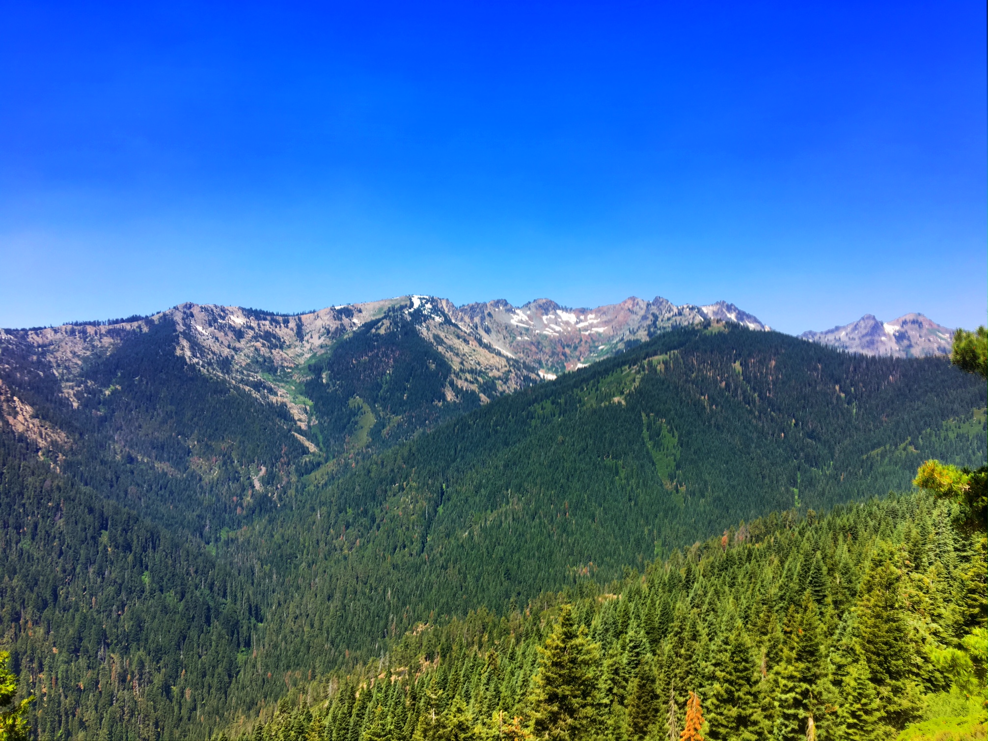
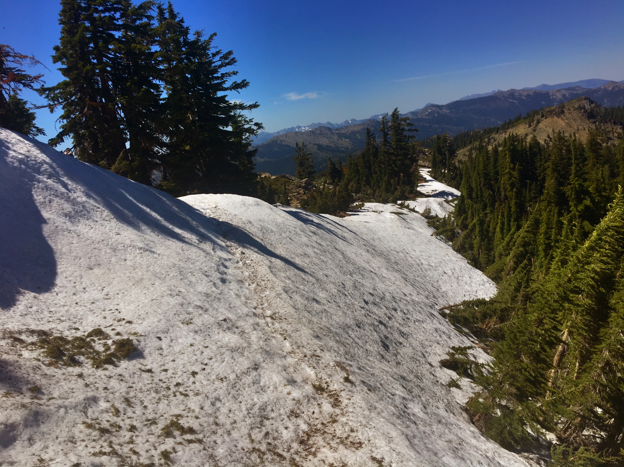
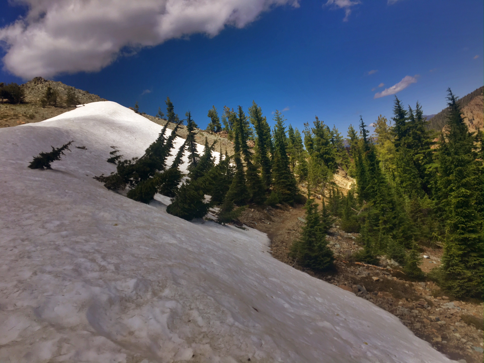
Today was about as easy a 27 mile day as you can do. The trail dropped 4000′ in elevation very gradually while following a creek.It did start to heat up as we approached the lower elevations (~1500′). The last 6 miles were a road walk with the last 4 on pavement…this feels quite terrible on the feet and knees but it makes for quick miles.

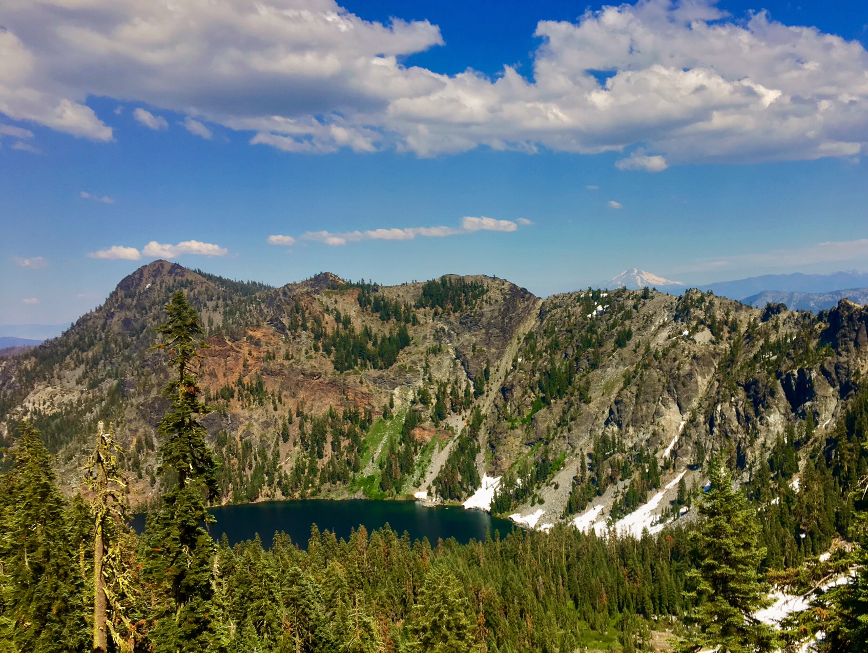
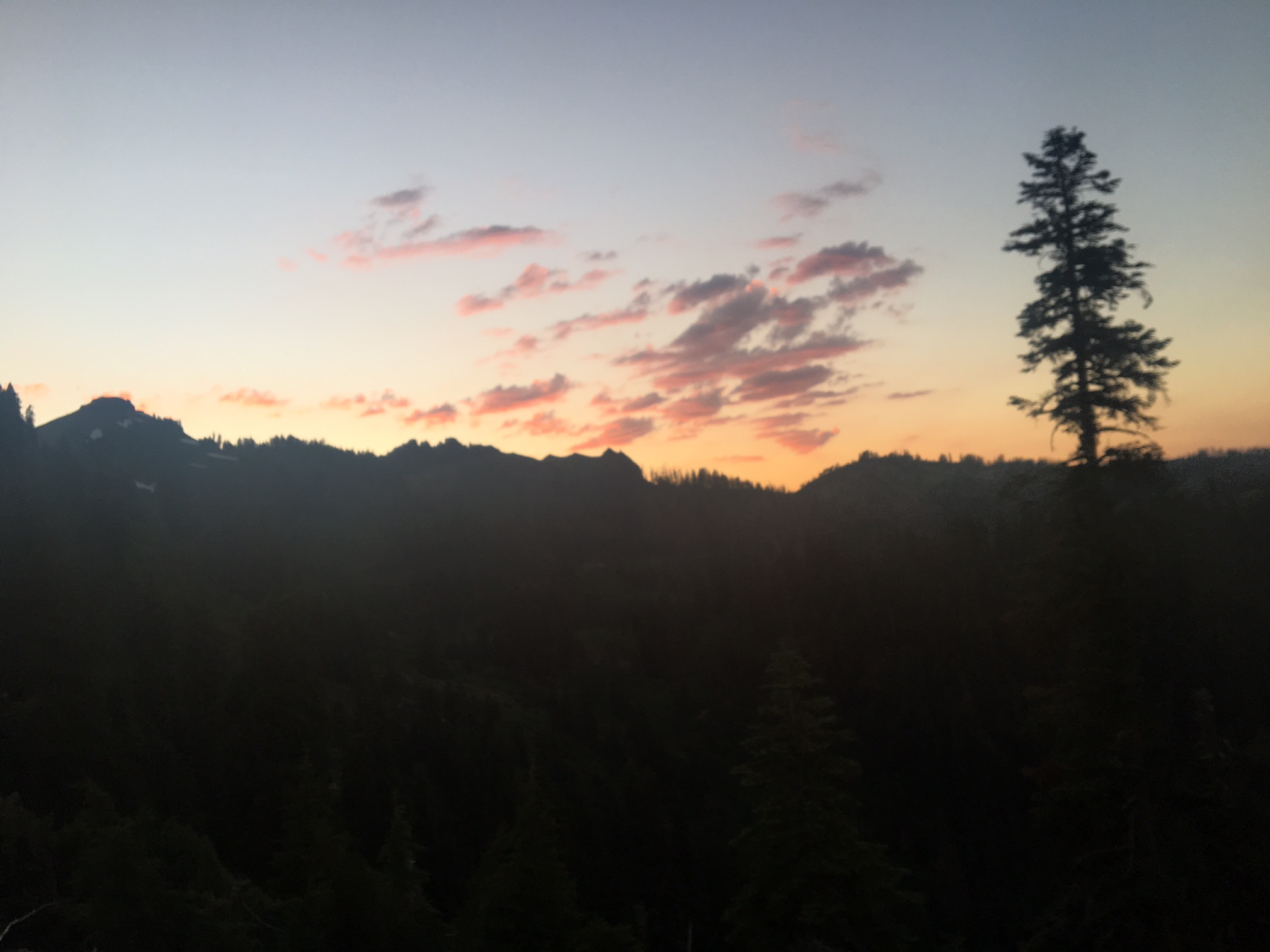
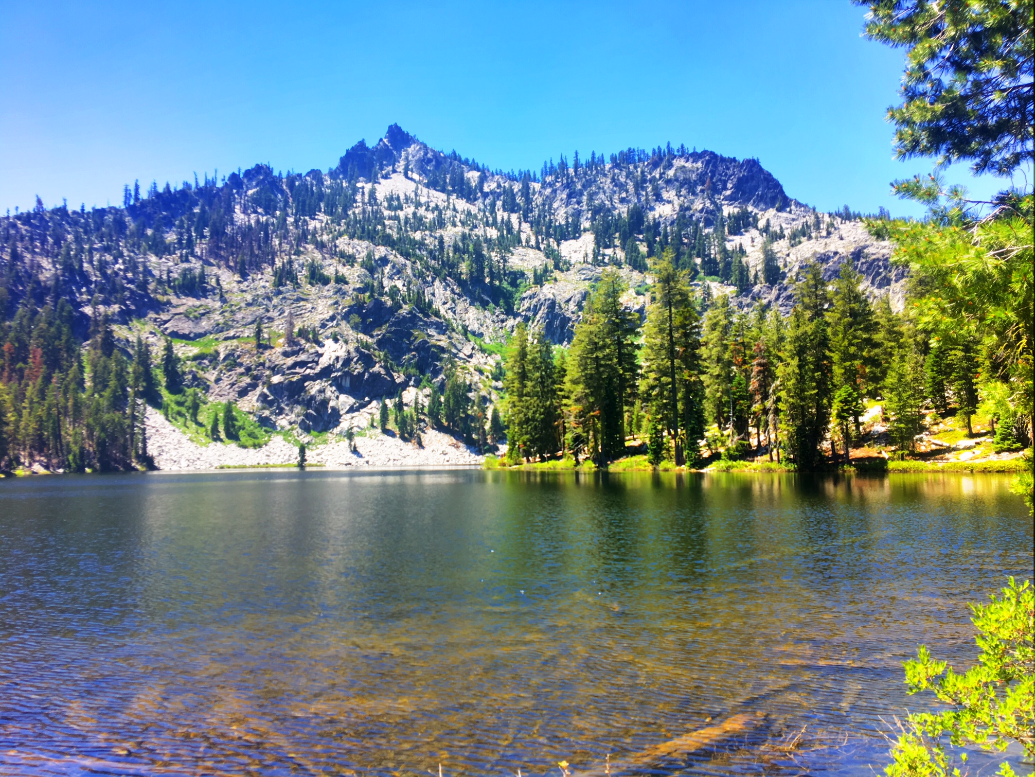
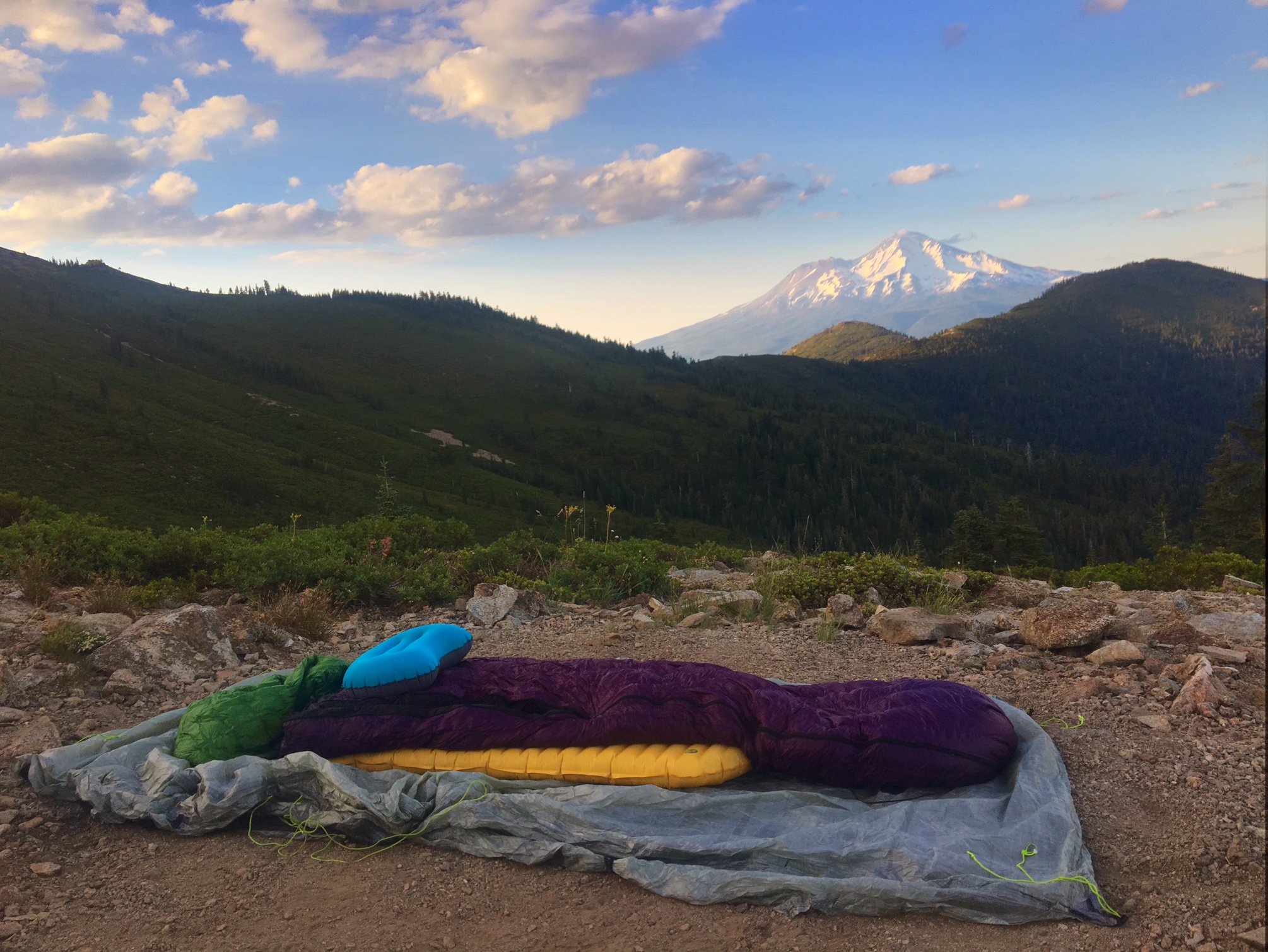
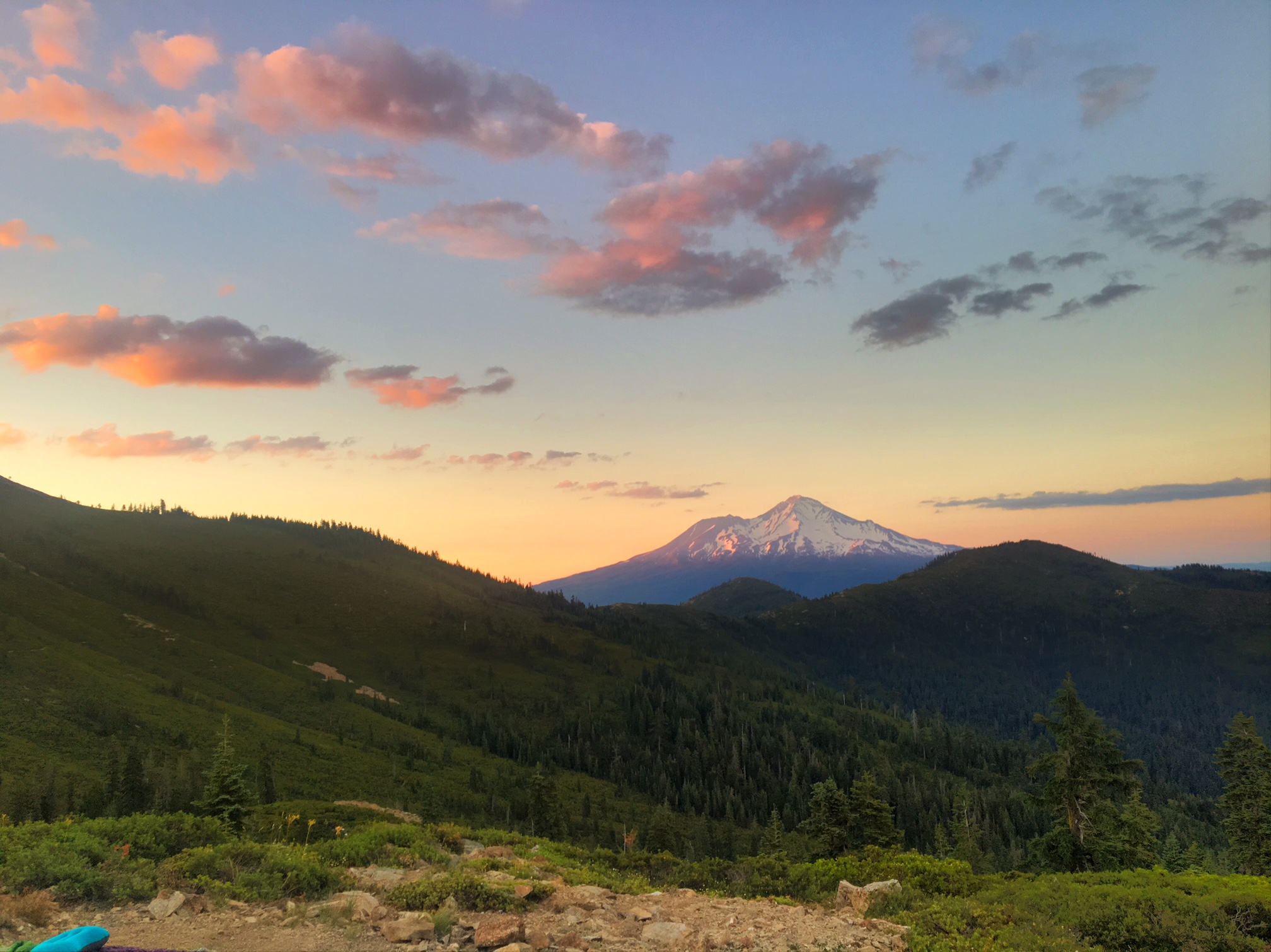
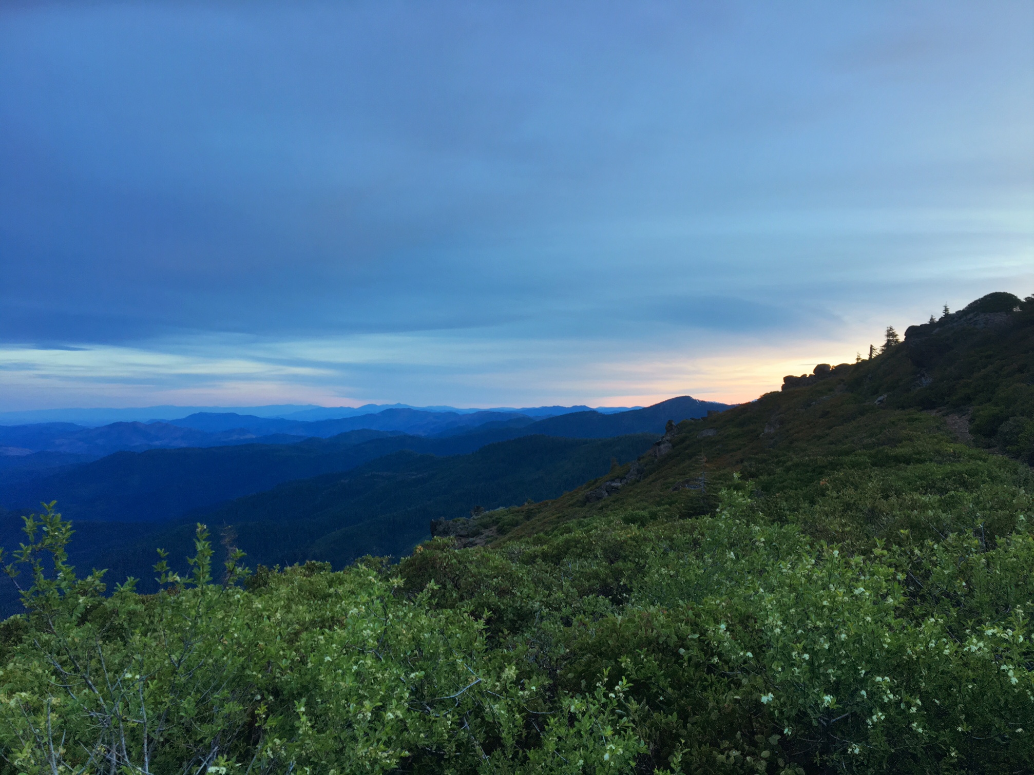
Sunrise on the climb out of Paradise Lake.

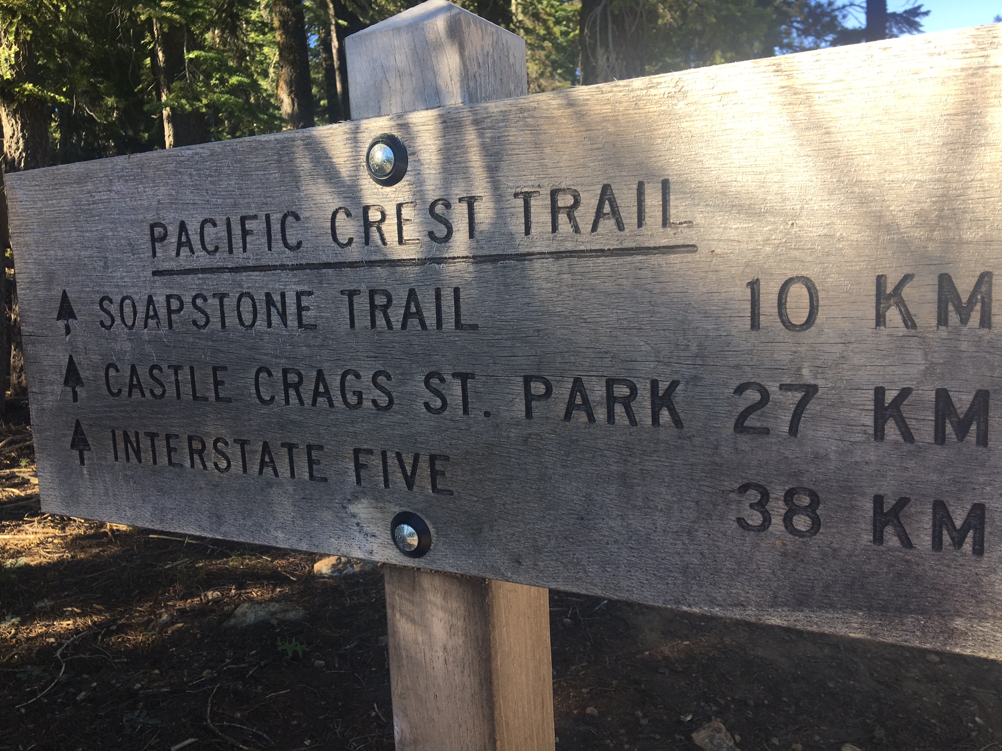
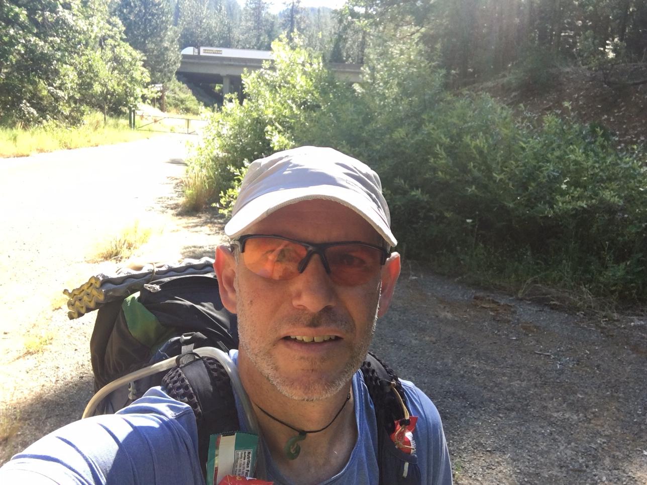
I didn’t see a single car in two hours of road walking, but at least they are warned!

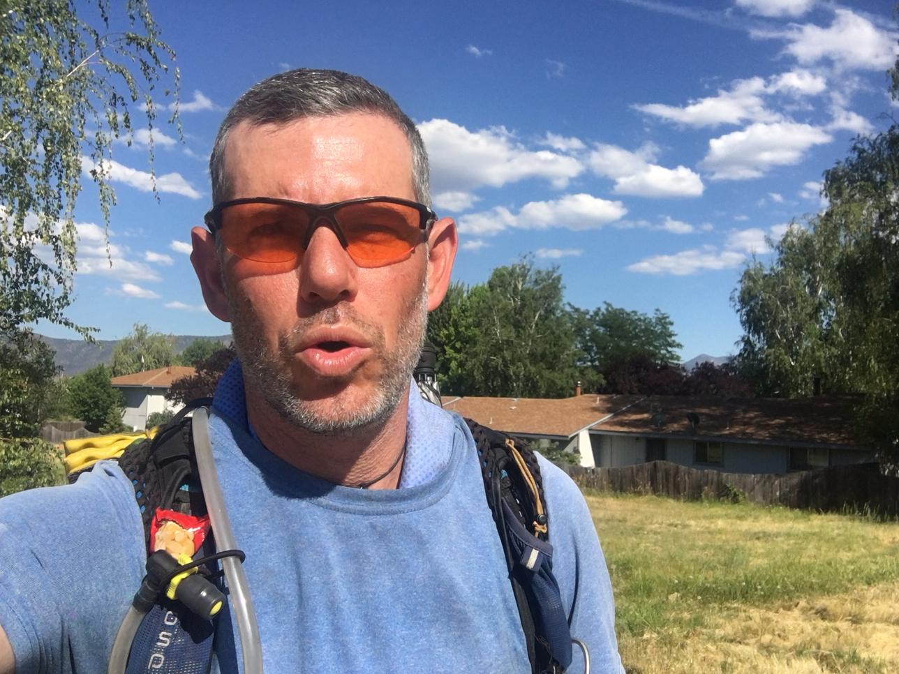
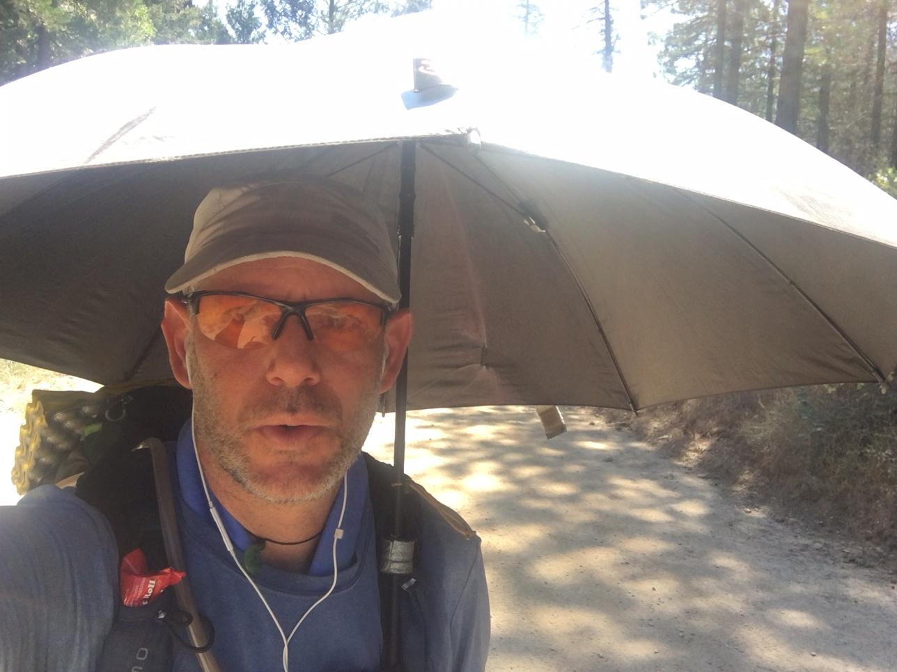
Fighting the heat and sun on the road walk.

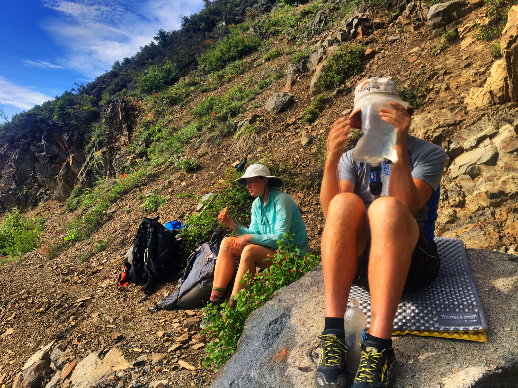
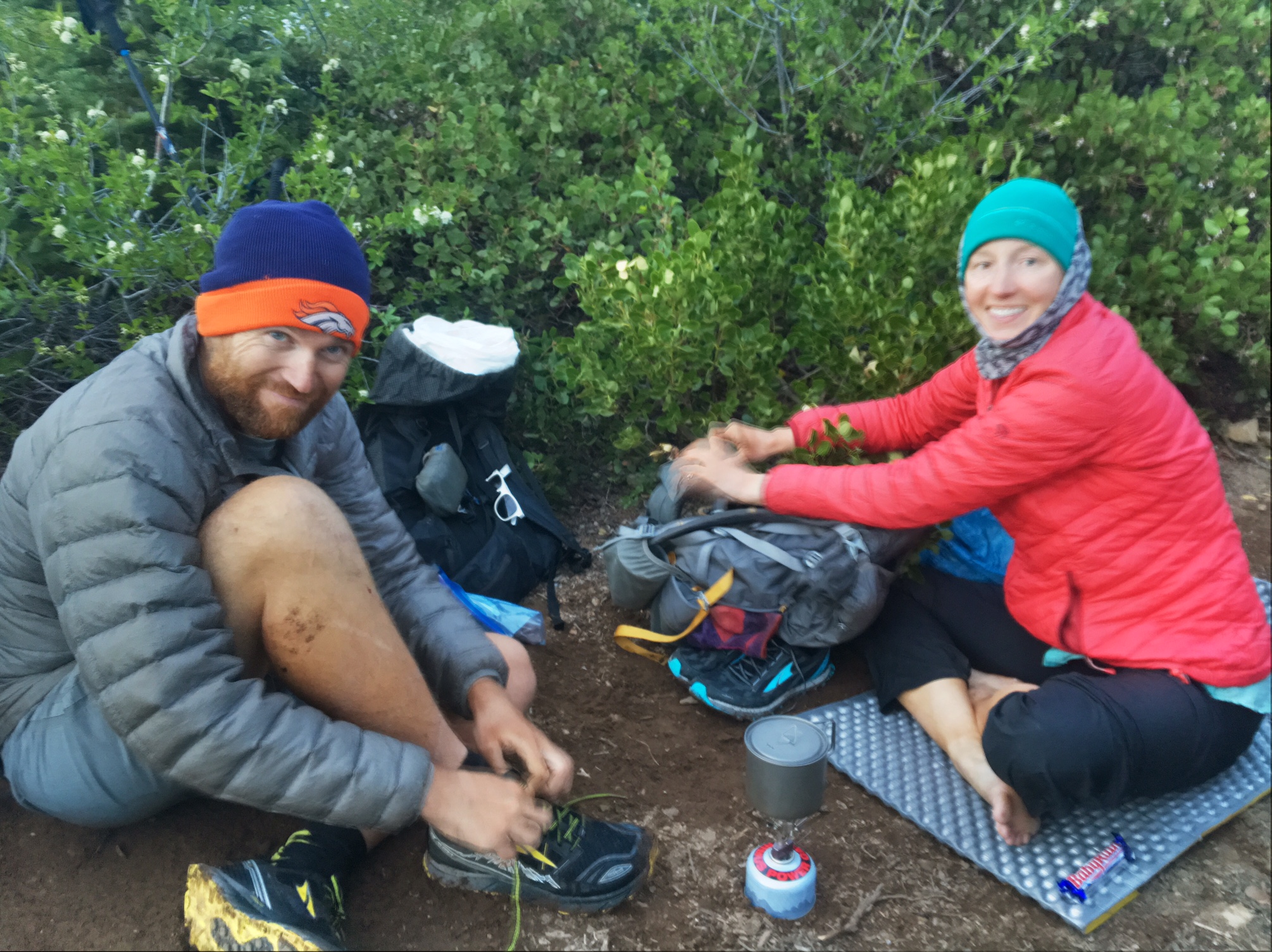
Hikers waiting out the late day sun outside the Seiad Valley Store before climbing 4000′ up. I opted to call it a day and camp at the RV park next door.

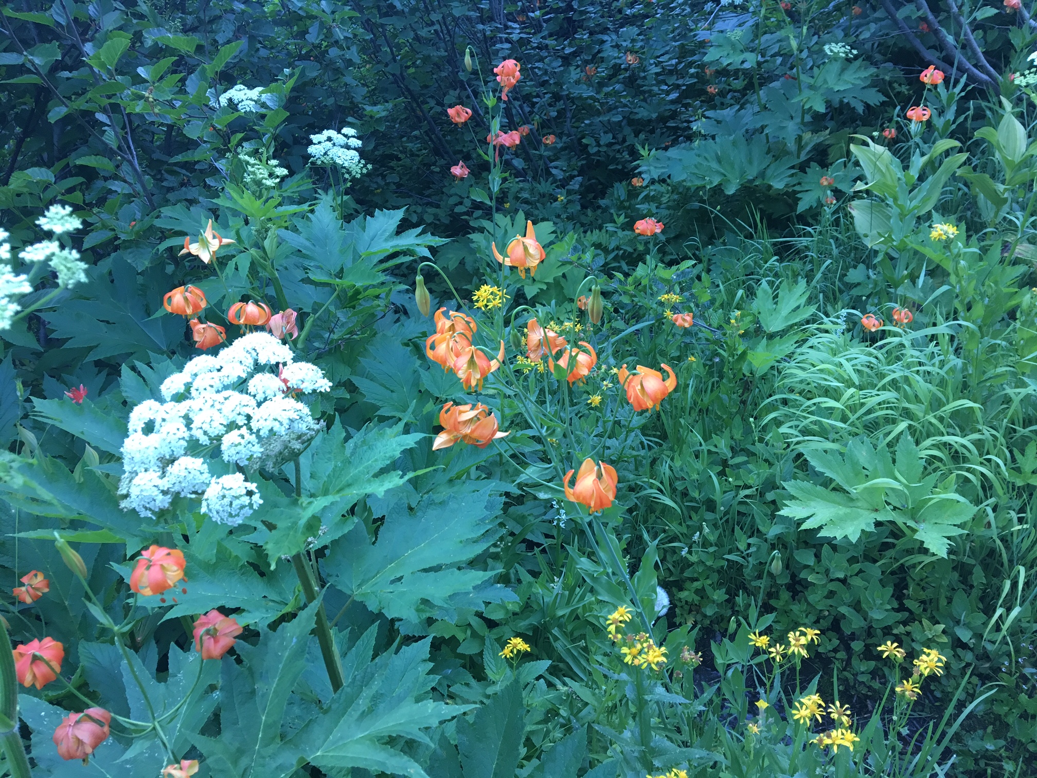
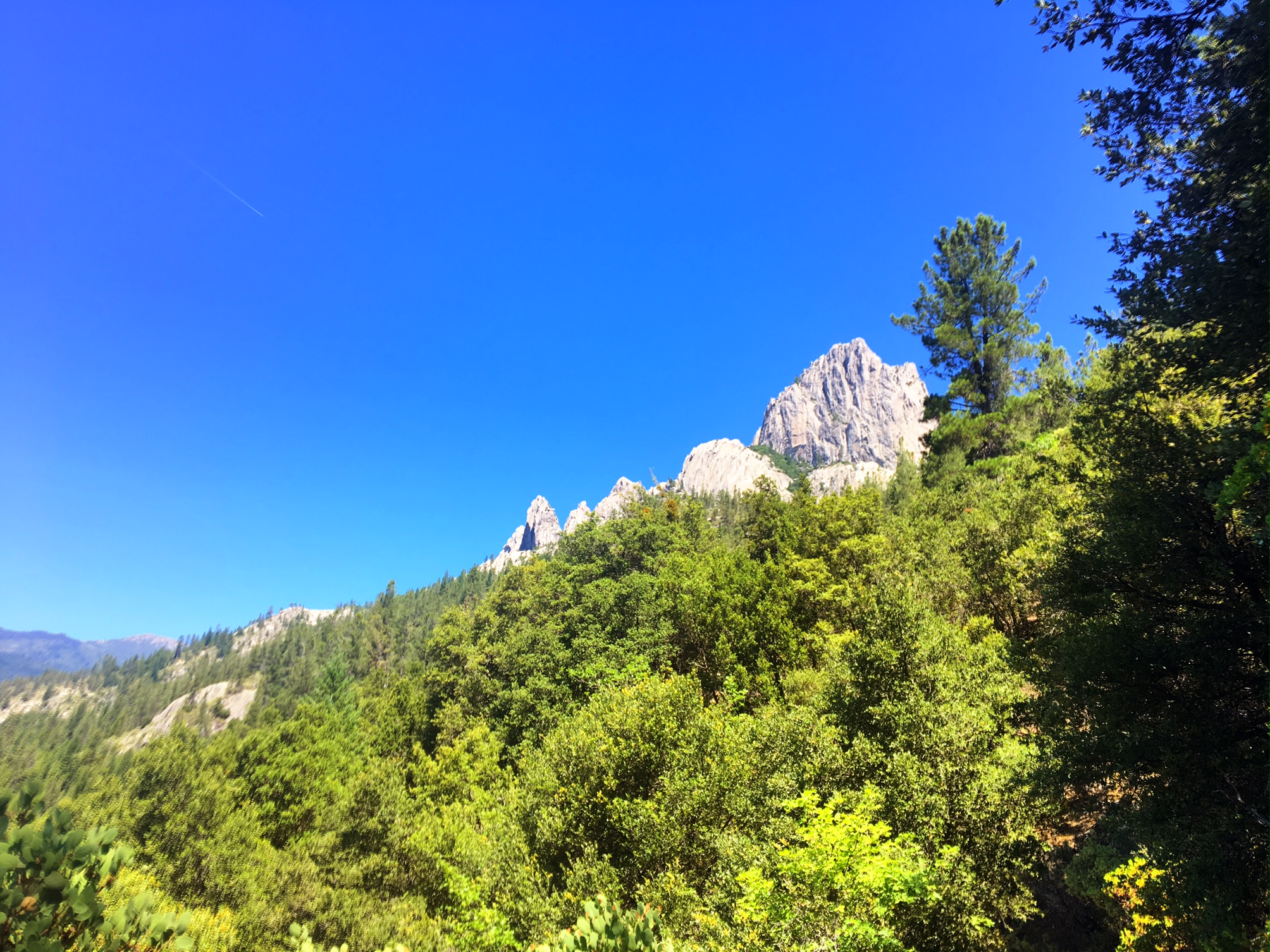
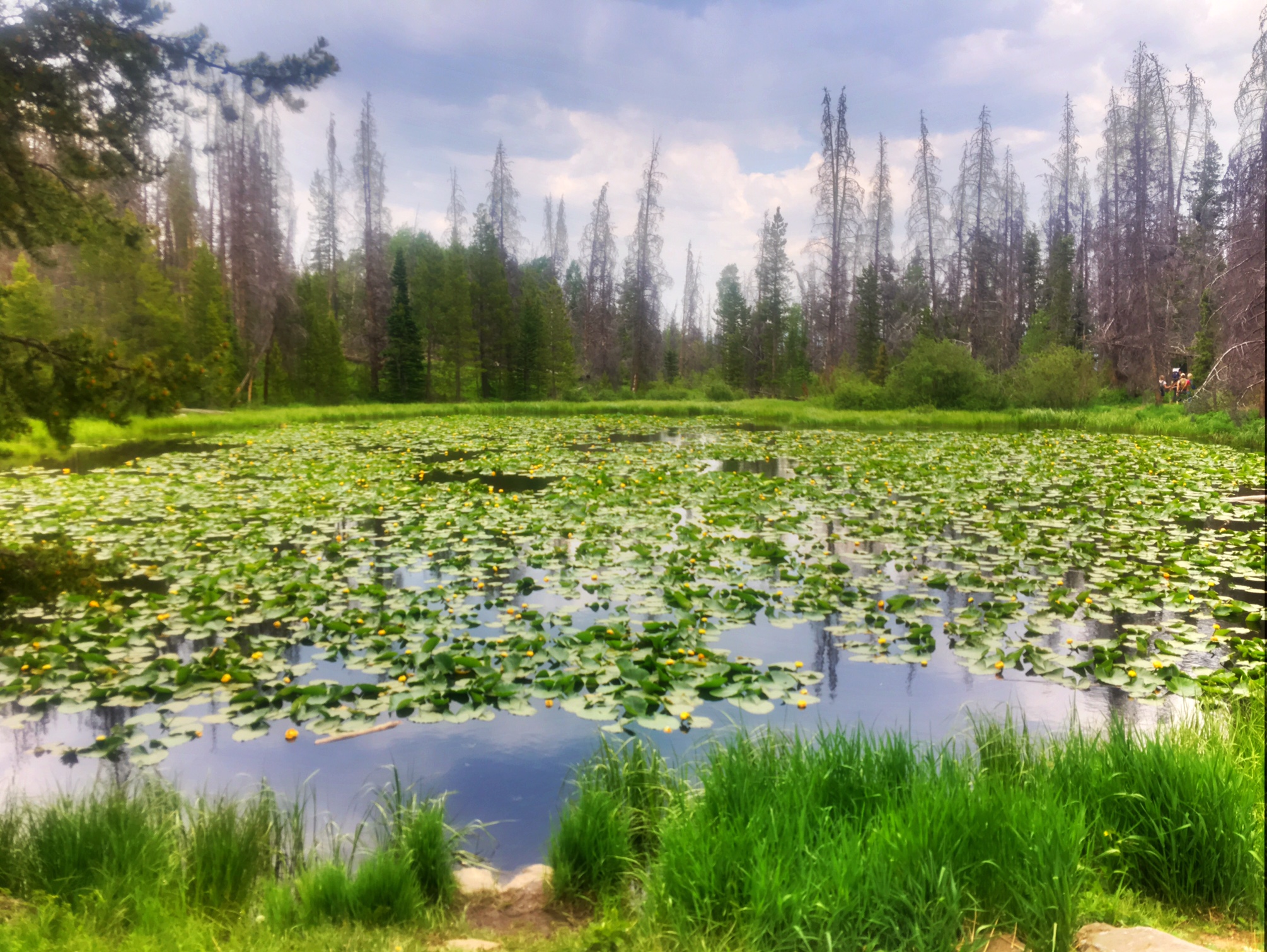
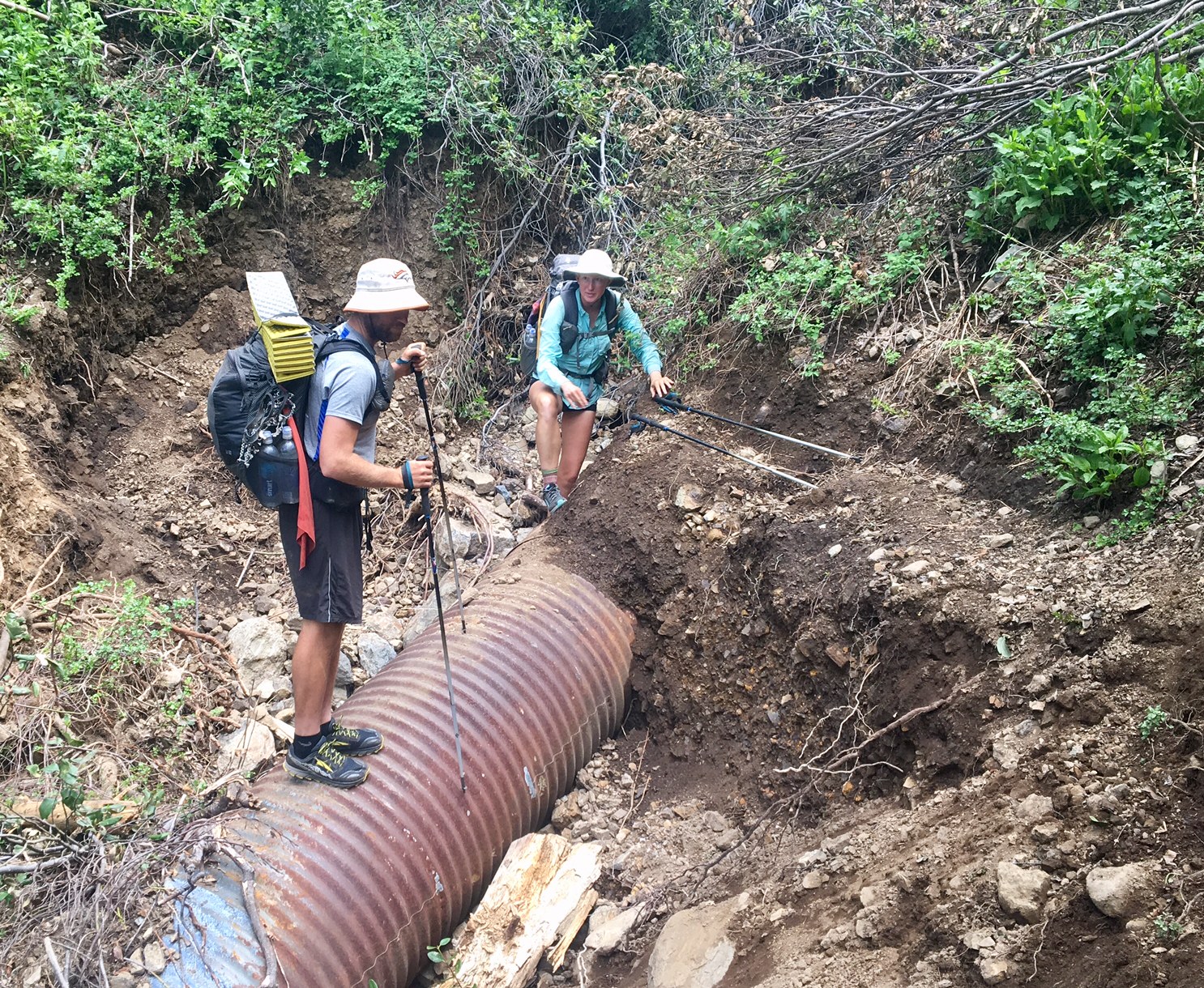
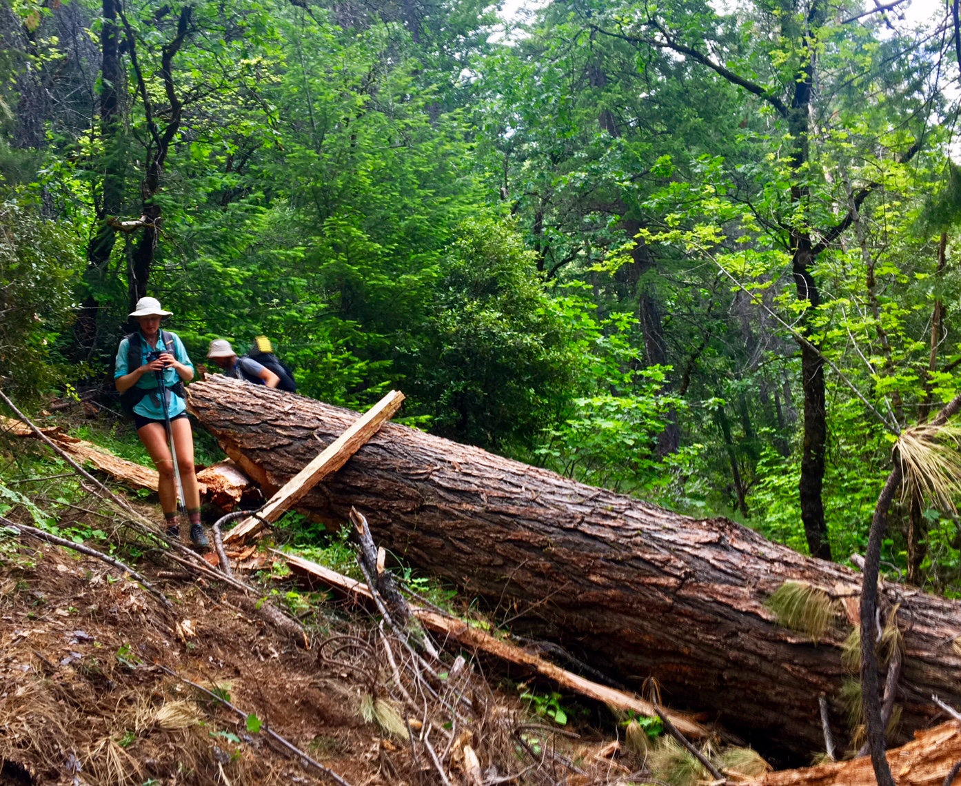
Gotta love Northern California!

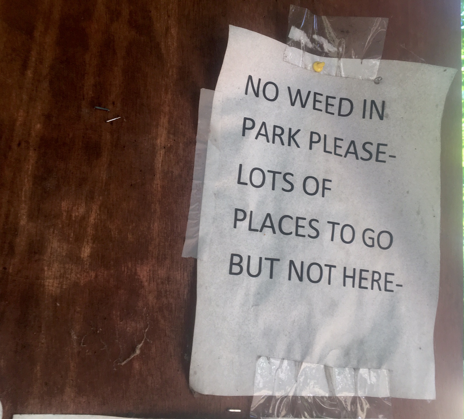
This part of NoCal voted to secede from the rest of Calf. and create the 51st state of Jefferson. Don’t thinks it’s gained much traction outside of this area.

Day 49, 7/14, Paradise Lake, 1926, 30mi

It was a long day!
I was up at 5:15 and trying to hitch a ride back to the trail at 5:45…I only saw 5 cars go by in an hour (two were USFS work trucks). Luckily, I bumped into a hiker named Focus who I had met 1000 miles ago in SoCal and he had arranged a ride at 7:00.

Loading up the pickup truck to get back to the trailhead 10 miles away.

It was a bluebird day!

We all wound up taking lunch at the same spot (the last water source for 12 miles).

Lots of wildflowers today 🙂

There were actually more water sources than expected from all the cascades coming off the snow.

There were several small tricky sections of snow to traverse. I wound up snapping one of my hiking poles not too far from here 😦
Luckily, I got cell service at the top and sent an SOS to Katy at mission control to ship out one of my spares.

View from the top.

Much more rugged than I expected.

If you look closely at the horizon on the right side Mt Shasta is peaking above.

This was a big burn area with incredible wildflowers covering the hillside.

You’d think I was back in the Smoky Mtns !

We were actually in the Marble Mtn’s.

One more tricky snow field to end the day (with one pole).

I was getting to camp just as the sunset around 9:00…exhausted!

Day 48, 7/13, Etna, CA M-1597, 25mi

There was a lot of interesting topography today from meadows and old burn areas to granite domes and mountain lakes.

Lots of beautiful wildflowers as well !

We entered the Russian Wilderness, marked by a steep walled canyon and granite domes.

…and more flowers.

You can see the faint line of the PCT cutting across the landscape.

And of course, out dear friend, Mt. Shasta.

This is where I had lunch, Payne Lake.

I got a case of PTSD when I crossed the ridge and saw this…luckily, the trail cut right across and there was only a about 75′ of snow travel.

An incredibly green Meadow.

I popped out on a lonely paved road and had the good fortune of receiving a cold Coke from my friend here. I was also able to hitch a ride into town (Etna, CA) from the first truck that came by two minutes after I stuck my thumb out. We drove 10 miles down the mountain, dropping 2500′ into town.

It was WAY hotter in town!

After running around: eating, resupply, laundry, etc I was offered a place to stay/shower at a local trail Angel’s place….a converted garage. This is Names from the U.K. enjoying the free wifi.

Day 47, 7/12, Saloon Crk Ridge, M-1574, 31mi

Another great day for crushing miles (my CDT buddy’s, Endless, favorite phrase).

I hit the trail at 5:45. This shot is prob around 6:30, looking down on one of the many lakes I passed today.

Yes, that’s Mt. Shasta in the upper left.
It’s stalking me!
Just a 20′ section of snow to cross today.

Lots of delicate wild flowers dotting the trail.

Most of this section (100+mi) is on a crest with views in both directions and lots of lakes scattered about. Luckily, the mosquitos haven’t been too be but I hear they are getting fierce in Oregon.

A solid field repair of the pin that holds my hiking strap onto the pole. I was pretty bummed when I realized the 1/2″ long pin had fallen out making the strap useless. The strap is crucial as it carries most of the load (i don’t actually grab the grips very tightly). Luckily, a pipe cleaner was the perfect fix (I keep a couple around to clean my hydration tube).

It’s been requested that I include more selfies.
Notice the snacks in their holsters ready to be deployed in a moments notice!

Giant tree forest with lots of green moss.

It kind of hurts my neck to look straight up so the camera comes in handy.

The view from my camp spot just after I rolled in at 7:45.

A soft bed of pine needles and a great night for Cowboy camping.

Tomorrow I plan to make it to the small town of Etna a bit ahead of schedule. Good night.

Day 46, 7/11, Chilcoot Crk., M-1543, 27mi

It was an incredibly beautiful hike today. Comfortable temps at these higher elevations (6000-7000′), gorgeous views, modest climbs and plenty of water.

The day is off to a good start when you wake up to a sunrise like this!

Still not sure I’m actually in the USA…or did we change to metric while I’ve been gone and o one told me?

Hope you’re not getting tired of Mt Shasta pics… I’m not 🙂

As I crossed over the ridge (elevation 7400′) there was one blob of snow covering 30′ of trail.

More Shasta

Lots of wildflowers today to brighten up the trail.

I didn’t see a single Northbound PCT Hiker today. I only saw one Southbounder (I think I recognized him after he passed…had seen him in the Sierras). There were a handful of day hikers but overall very quiet out on the trail.

My body doesn’t seem to be reacting too harshly to the sudden change in activity. Plenty of energy, stamina and strength, but my feet were definitely tired when I rolled into camp around 6pm. Before my little hiatus I probably would have hiked until 7:30 or 8:00…but no complaints for day 2 after the reboot. When people ask me how one should train for a trip like this I’m going to tell them to get a job working retail, or any job where you are on your feet 8-10 hrs/day.

Day 45, 7/10, Trinity Ridge, M-1516, 19mi: BACK IN THE SADDLE AGAIN

After 3.5 weeks off trail I’m “BACK IN THE SADDLE AGAIN”…not only is it a great Aerosmith song it’s also appropriate given that the Tour de France is in full swing.

I flew into Medford, OR last night then caught a 6am bus. I then hitched a ride to the trailhead I departed from on June 16th…thanks Rocky! Rocky is section hiking the whole PCT over 4 years and she’ll be over 80% done this year!

Hitting the trail after 3.5 weeks of R&R.

I think I accidentally walked through a wormhole and wound up in Canada…not sure why the distances on this sign are in kilometers ?

Castle Crag Peaks

Cooling my feet off in a refreshing creek.

The impressive Mt Shasta.

Cowboy camping under Mt Shasta.

There was a lot of climbing today (6000’+). Unfortunately, the steep section was also out of the tall pines and very hot with no shade.

Castle Crags sunset.
8

Mt Shasta sunset

Temporary Off-Trail Hiatus…let the snow melt !

I realized I hadn’t posted in almost a week….surprisingly, not too many folks concerned about this or my whereabouts 😉

Guess where this is?
(answer below)

The evening before hiking into Castella I started thinking about the likelihood of 100+ miles of snow on the next section to Etna. After that there is a bit of dry trail and then we hit the Crater Lake area which is buried in snow. I did some quick math in my head I realized I could take a couple weeks off trail and let things melt and probably catch up to where I would be if I continued to slog through the snow. Luckily, I had some phone service while hiking into town and started to check out transportation options.

After a couple hours of deliberating my options (both hiking-wise and transportation home) I made the tough decision to take 3 weeks off trail and fly back to Colorado. The final decision was definitely influenced by the fact I found a flight out of Redding, CA (a quick 40 mile hitch down the highway) that departed at 5:45am and had me back to CO by noon, and all this could be had for 12,000 frequent flyer points and $75. Not bad for booking 12 hours before departure. It also worked out that my vacation rental in Frisco, CO is vacant for two of the weeks so I can relax in the mountains while trying to maintain some level of my thru-hiker fitness.

Loco-Bronco were a bit jealous of my schedule flexibility… they have a hard deadline and need to finish by (~Aug 25) for Loco’s new job. The good news is I got an update from them the other day and they had made it to Etna. It sounds like quite a bit of the trail was south facing so it was drier than expected but there were several sketchy snow sections and about 300 downed trees (think obstacle course). I will be interested to hear their updates when they get through Crater Lake.

The way things line up for me now I will come back to the trail and continue hiking northward to Canada ~July 10 which will hopefully get me to Canada the end of August. Then I will get back to Chester, CA (where we jumped to when we aborted the Sierras) and hike Southbound through the Sierras finishing right around the Fall Equinox (~Sept 20). I’m excited to hike the Sierras that time of year as the Aspens change and the bite of fall will surely start to make an appearance.

Here is pic from a day hike I did today outside Frisco, CO

The whitewater creek in the first pic is Meadow Creek on the way to Lilly Pad lake (above). Notice how it has a bridge!…so civilized!

Day 44, 6/16, Castella, M-1499, 22mi

It was a slightly earlier start, leaving at 5:30am… excited to get to town I guess? It was easier packing because it was a relatively mild morning.

We had more incredible views of Mt Shasta.

There’s still a debate as to which Loco-Bronco mashup is better: LoBro or BroLo.
Sadly, our plans moving forward are slightly different so we will be parting ways after almost 700 miles hiking in the same vicinity and sharing many campsites.

This is Evan, he was kind enough to pick me up hitching into town…so the In-N-Out Burger was on me!

Sunset over Lassen Peak on the horizon.

Day 43, 6/15, Trough Creek, M1479, 30mi

A great sunrise for our 5:45am departure.

This is Bronco filtering water at a trailside creek.

Yesterday, while bush whacking through some Manzanita, I sliced the rubber in half that holds my microspikes on my shoes. I used a zip tie as a field fix. The manufacturer, Kahtoola, is nice enough to send me a new pair I will Pick up down the trail.

A section of trail got washed out…luckily, the PCTA trail crew was on the scene.

We walked through forests of giant teees which are really hard to get pics of…this downed one gives some perspective.

These huge logs can be difficult to navigate. You can just barely see Bronco on the other side.

Day 42, 6/14, Saddle Camp, M-1449, 23mi

It was a rather uninspiring morning as we hiked through privately owned logging land…most of it clear cut 😦

A a clearing by for some power lines provided a great view of Mt Shasta at least.

Then another view…

Just as I thought we were cruising into a stress free 27mile day the snow returned (snow line is ~5500′ here). Slipping, slidin, navigating, and progress slowed to a crawl.

The last 4mi through this took 3hrs.

One more Mt Shasta view.

There was one dry patch of land and I called it a day at 7:15pm. 5 of us were all camped on top of each other because it’s so difficult to find a place to pitch a tent. . You can see the snow in the background which was drifted about 8-12 feet high in places.
LoBro made it to camp about 8:30 and were happy to see this great (flat and dry) little camp spot. I think we are all starting to suffer PTSD (post traumatic snow disorder) every time we hit the snow.

The remnants of a sunset.