Day 32, 5/7: M-556, Possum Crk (24mi)

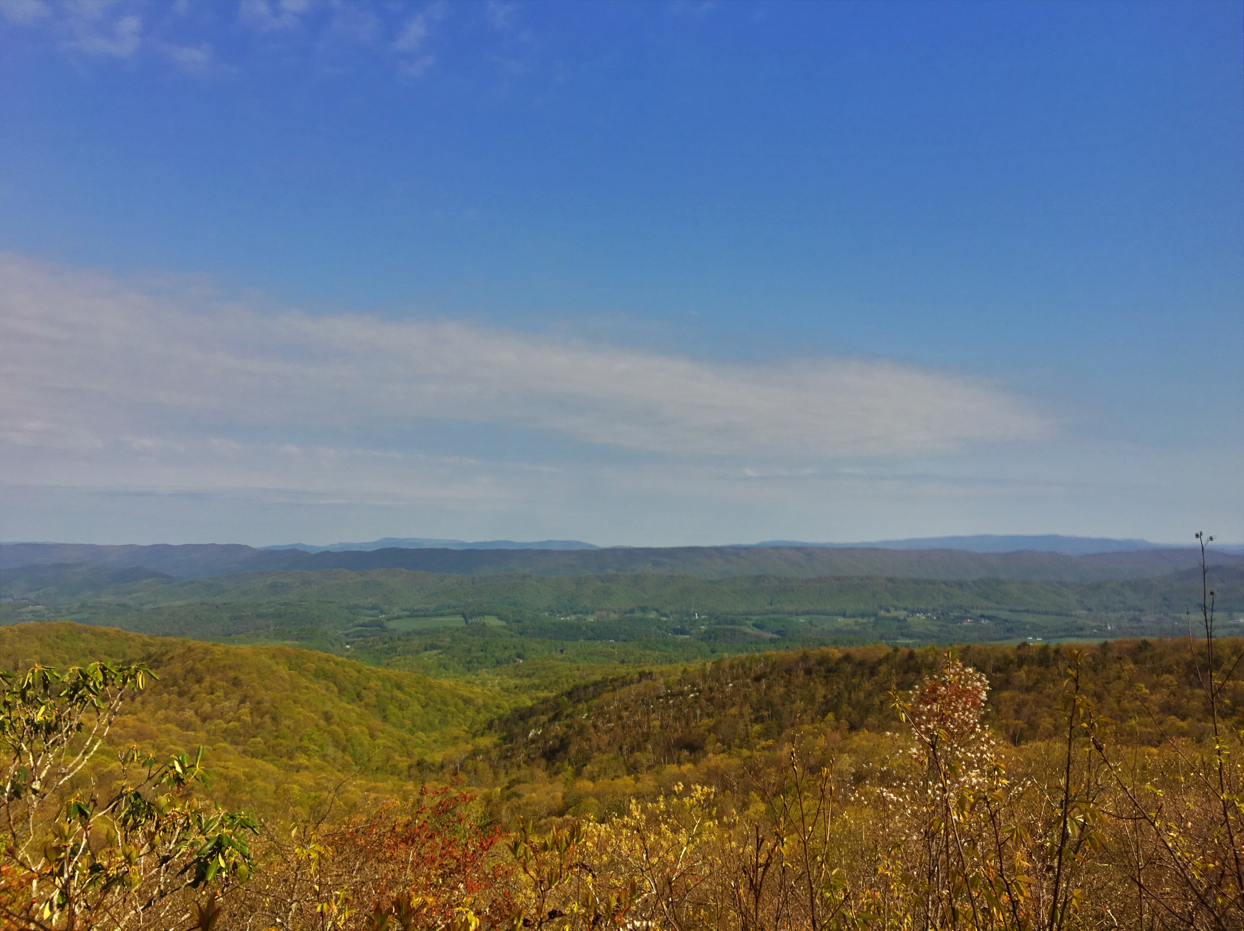
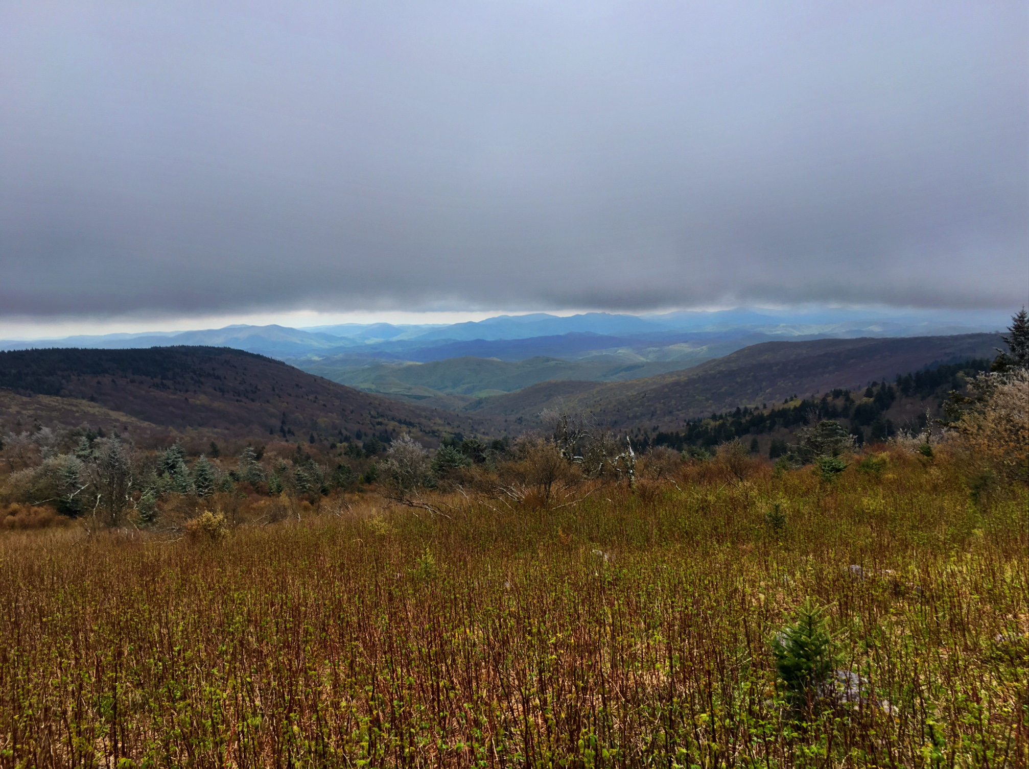
  A beautiful morning with no fog. This is looking down into the valley that I-81 travels through.

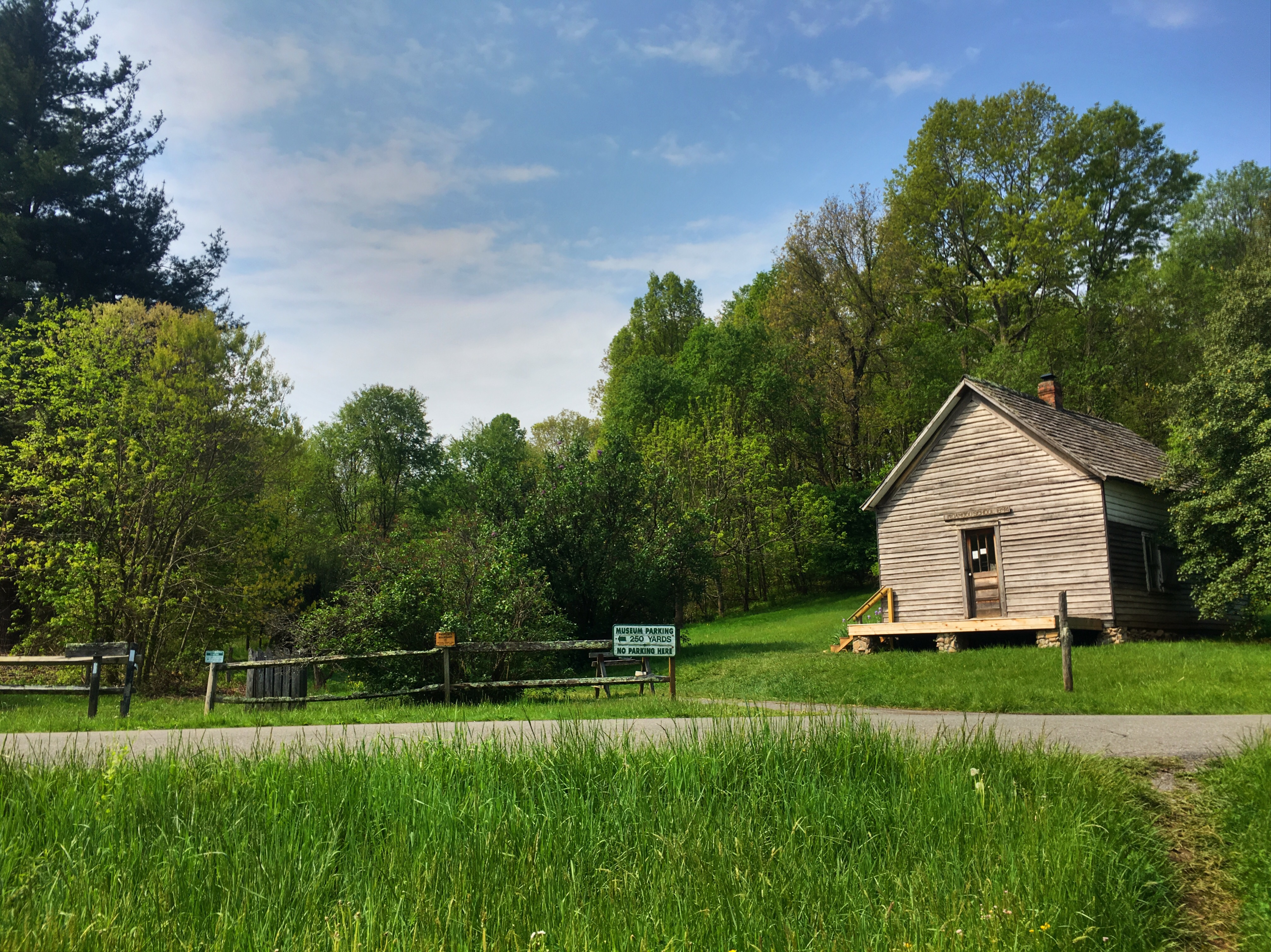
  A historic one room school house next to the trail.

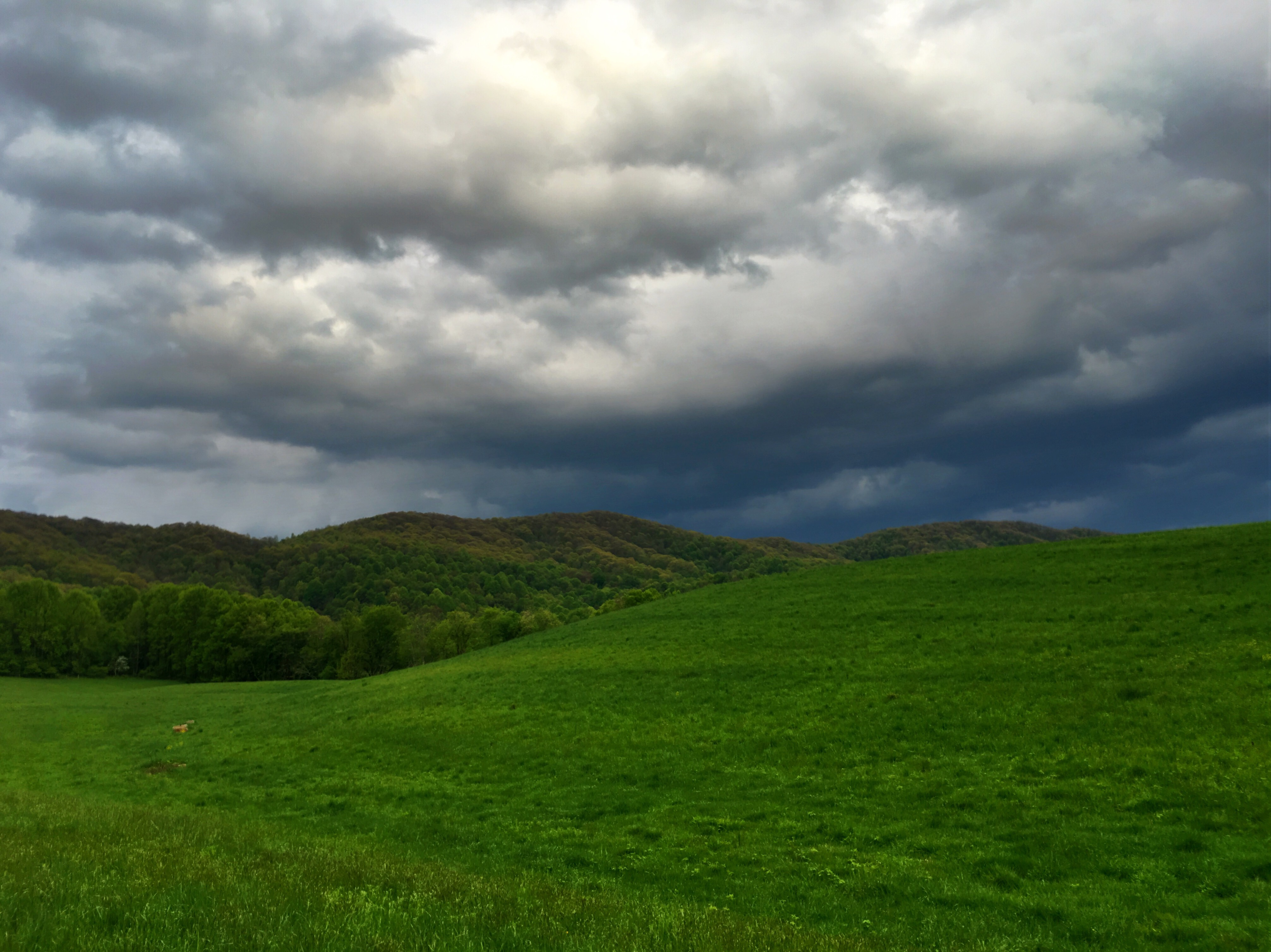
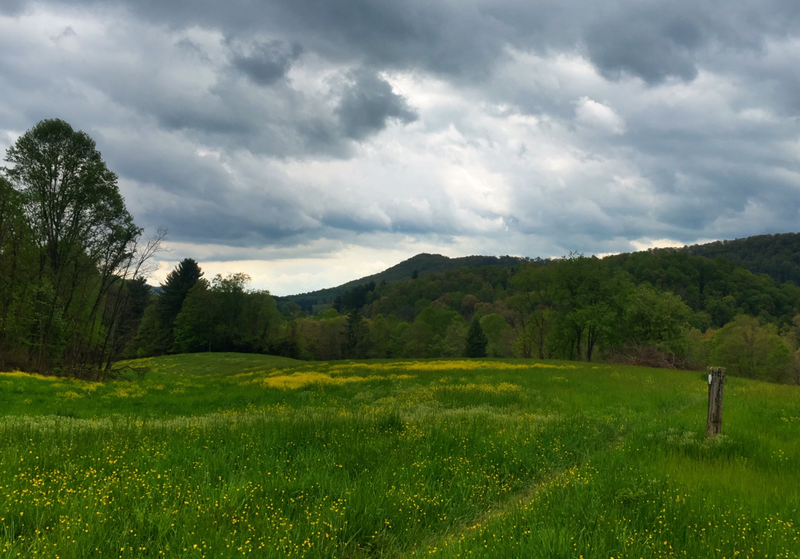
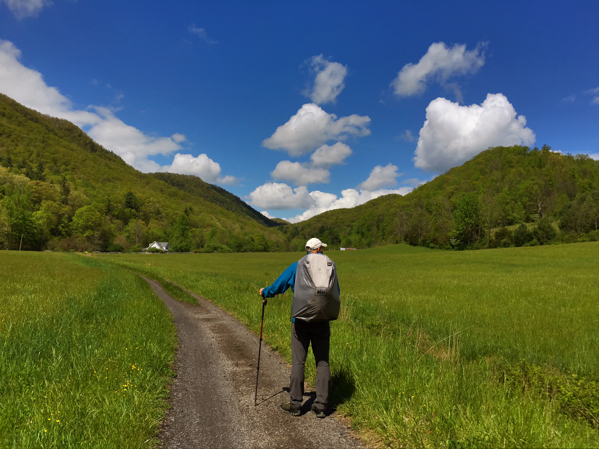
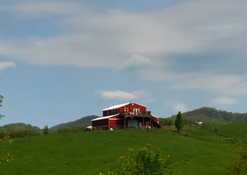
  We traveled through some rolling farmland part of the day.

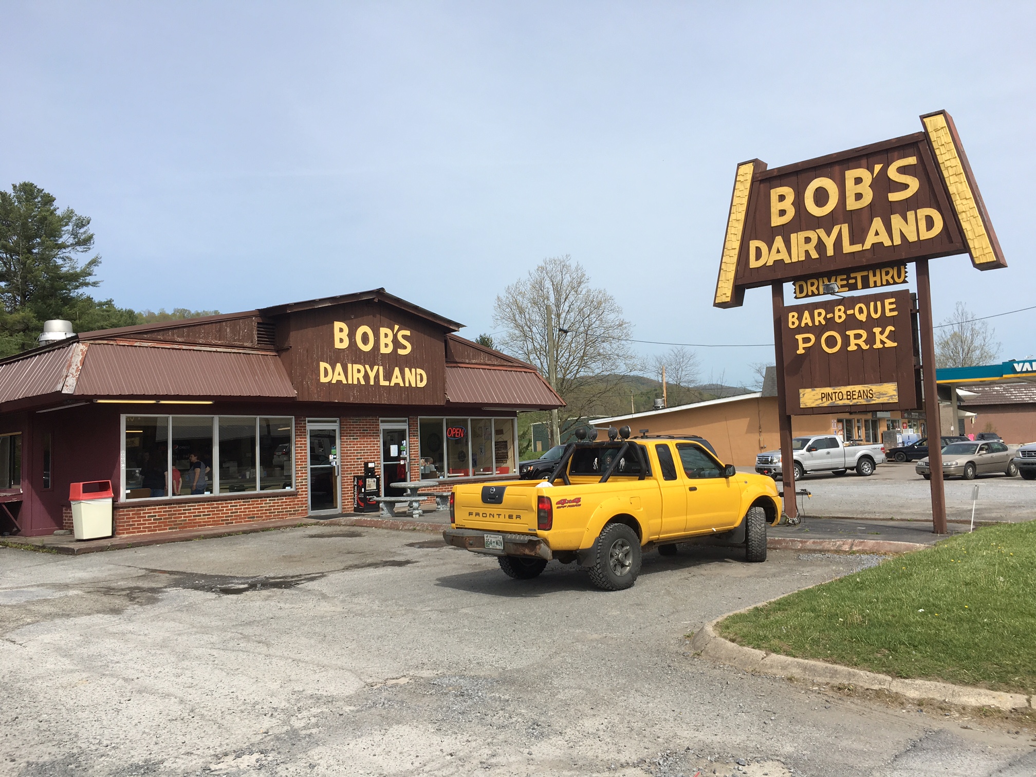
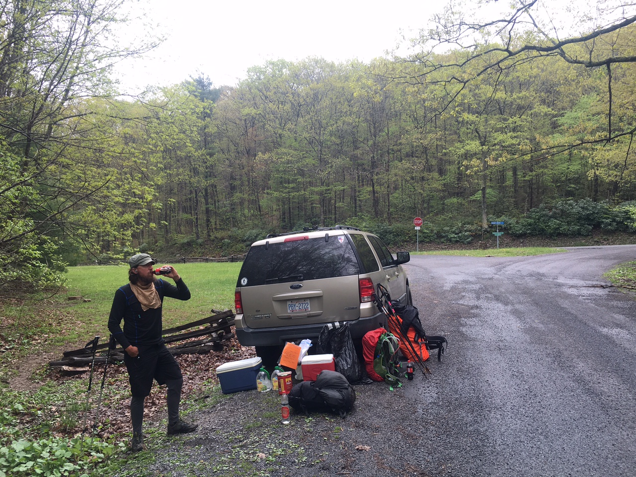
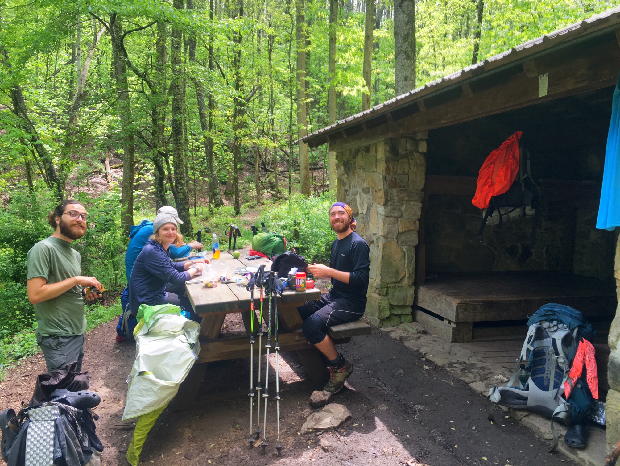
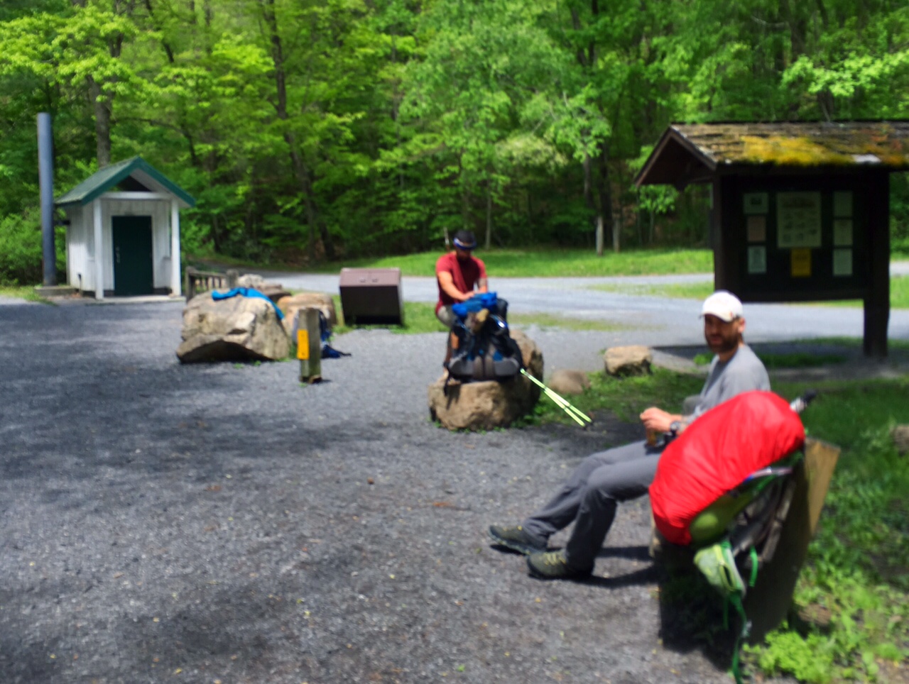
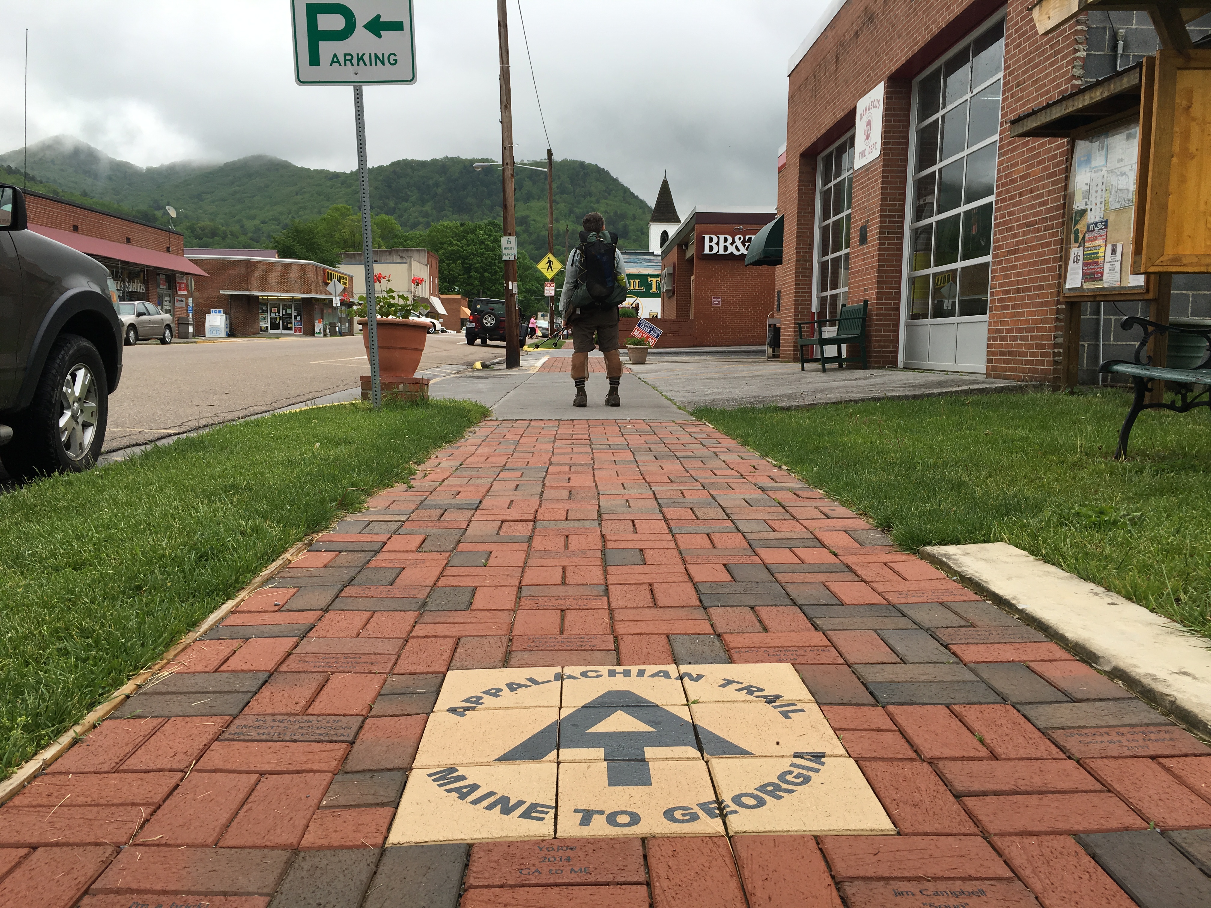
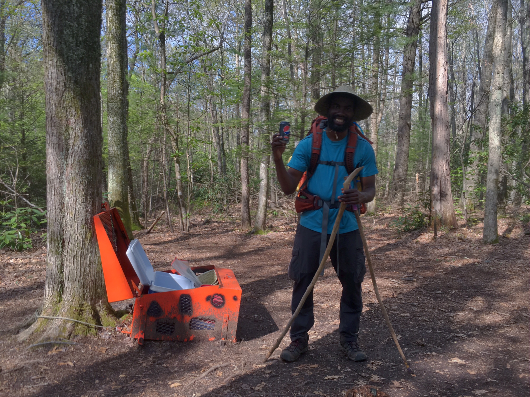
  Made a quick stop in Atkins to resupply (drying out wet socks from 2-days ago).

  I also picked up the package that my Trail Angel, John, sent me with my lost cycling sleeves…he also through in a couple double size Snickers bars!! Trail Angels are the best.

  I probably climbed over 10 or more of these today to get over the barbed wire that keeps the cattle penned in. Maybe it should be a new Olympic event… fence-stile jumping.

  The first rhododendron in full bloom.

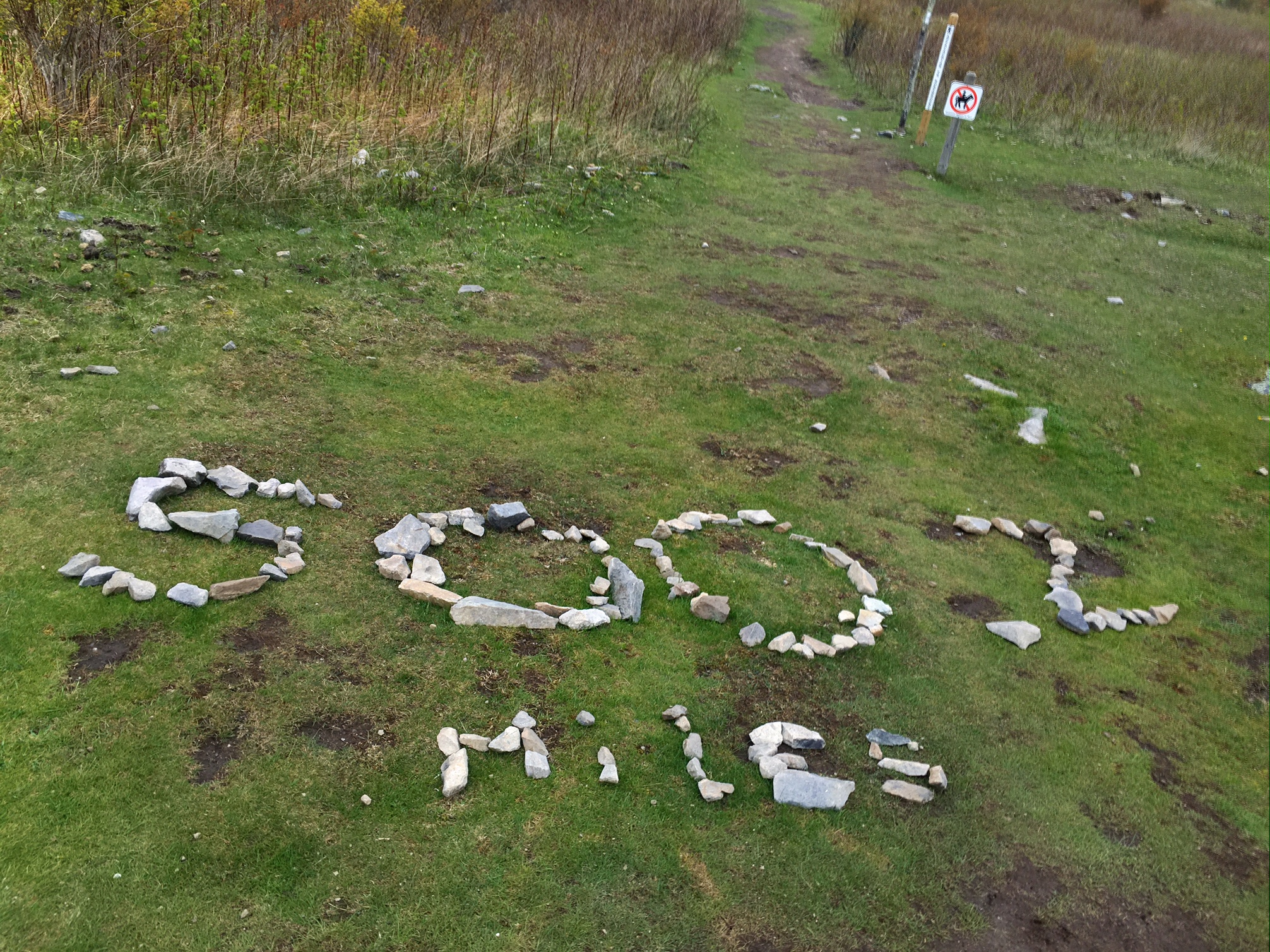
  It was amazing to realize I’ve completed 1/4 of the trail…and scary to think I still have 75% to go (1641 miles!).

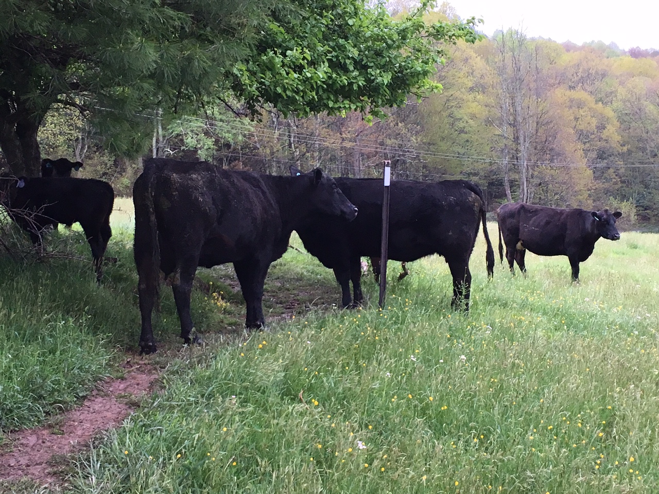
  This heifer was blocking my way…she ran away prettyquick when I waived my poles.

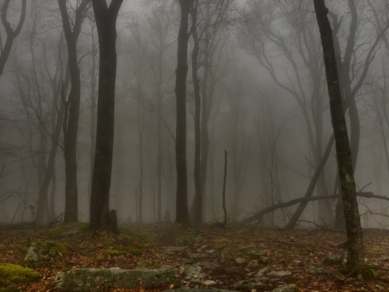
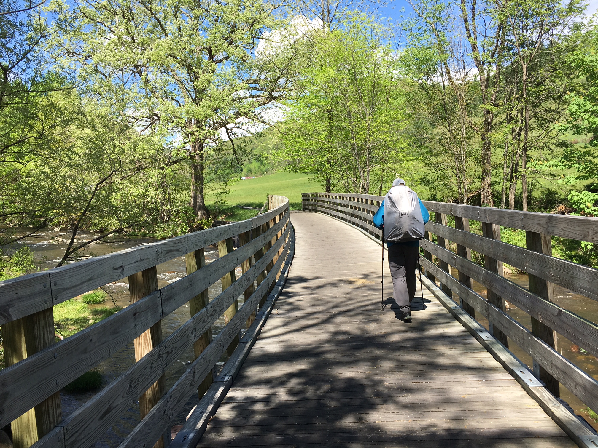
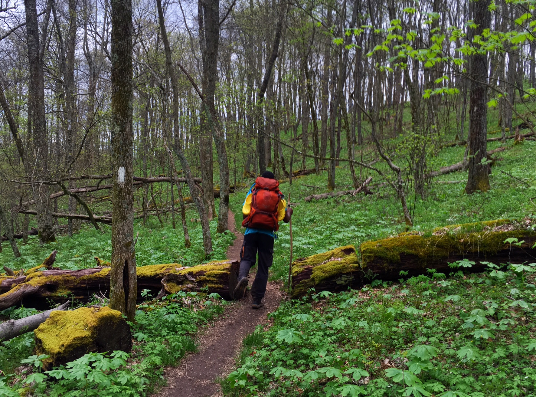
  A couple short evening showers and some more meadow hiking.

  This is what’s left of the 5lbs of Seven Layer bars Katy and Todd sent me. I’d been meaning to take a pic for days but we kept eating them so fast Theyvwere gone by the time I remembered. I’m not sure of all the ingredients but I wouldn’t give it to young children unless you want them bouncing off the walls. My best guess is that they include: coconut, butter, sugar, chocolate chips, butterscotch chips?, sweetened condensed milk, graham cracker crust? They are a calorie and fat powerhouse ! Thanks Katy and Todd

For those who didn’t see this video of the blizzard on facebook:
https://youtu.be/-BVoAnFuhPQ

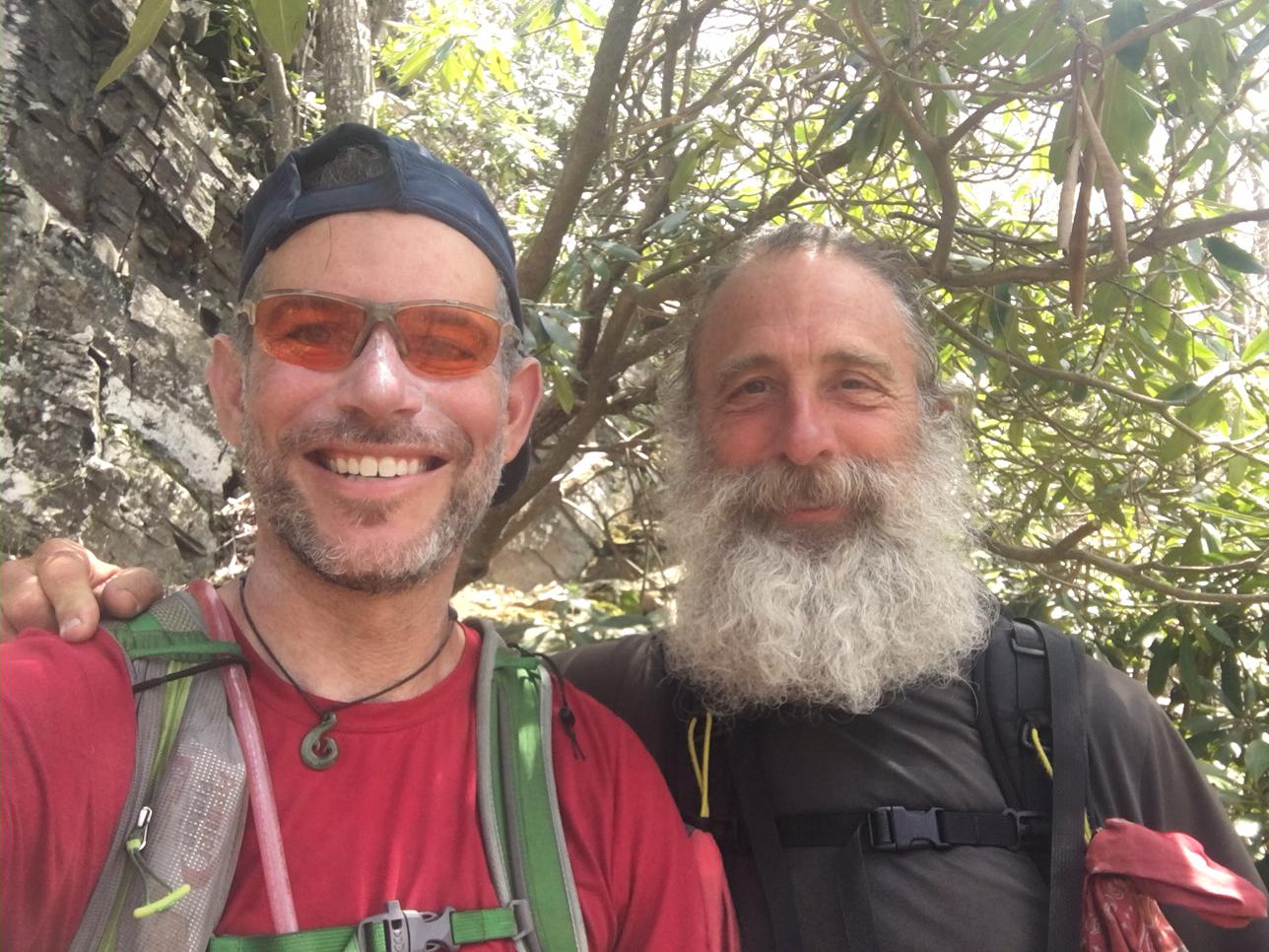
FYI, Salty took a Zero day (day off=zero miles) in Marion to recover from our wet, cold snowy adventure. Hopeful he catches up when I resupply in a couple days.

Lastly, I really appreciate everyones comments and word of encouragement. I hope you can understand I have fairly limited internet access, and when I do I’m usually burning half my battery uploading my blog post on a windy ridgetop. I typically read emails I my tent righ before I fall asleep 🙂 I hope to be able to reply back when I’m in town with a power supply and a good signal.

Day 31, 5/6: M-532, Partnership Shelter (24mi)

The snow last night turned to rain by early morning and had cleared out by the the time I headed out…but it was slow going getting out of my warm sleeping bag. I love the spooky looking trees in the fog…seems like a regular occurrence most mornings recently.

Some leftover snow from yesterday.

The water was flowing a little heavier than normal after all the precip.

These Trail Angels were out for a day hike. Curly, in the middle, is a Triple Cronwer (AT, PCT, CDT).

This is the trail magic they left us by the roadside….the homemade cookies and Coke were a hit.

Moo

The impressive stone Trimpi shelter was a relaxing lunch stop…the sun even popped out for a minute.

A field of tiny yellow flowers.

A couple short rain showers later and just about 24 miles got me to the Partnership Shelter. It’s a couple hundred yards from a USFS visitor center where they have an outdoor courtesy and you get pizza/Chinese food delivered. Salty decided to hitch into town from the road crossing.

Temps are supposed to be back near 70 tomorrow which will be great!

Day 30, 5/5: M-509, Orchard Shelter (23mi)

It rained quite a bit last night but when we woke it was dry.

We started the morning with a 2000′ climb to White Top at 5200′. All the rain had frosted everything over at these higher elevations…

and there was some snow too!

We spent the rest of the early afternoon working our way toward and over Mt Rogers.

More spooky forests.

Barely above freezing but we stayed warm hiking (uphill).

A good view near Mt Rogers.

Then we entered Grayson Highlands and got to see the famous wild ponies!

They were everywhere. Unfortunately, it was cold and a bit windy so we didn’t linger.

We passed the 500 mile mark today!

From here the weather took a turn for the worse. At first it was light snow, then heavier snow. There were a couple of inches of wet snow covering the trees and ground. Our gear kept us relatively dry and warm, but after several hours we were hoping for a dry shelter…but all full 😦 so we pitched our tents at 7:30, ate inside them and went to bed listening to snow/ rain come down. We dropped about 1500′ in elevation so there’s not quite as much snow down here, but definitely wet! I wish I had gotten more pics of the snow covered trees and trail but my hands were too cold to take out of my gloves. Salty did get a video which I should be able to post when I get wifi.

(Photos from Salty)

Hopefully things dry out and warm up tomorrow. Otherwise we might need to make a quick hitch into town. Hard to believe we were drinking tons of water and getting baked by the sun just three days ago!


This wasn’t in the brochure!

Day 29, 5/4: M-486, Near Lost Mtn Shelter (17mi)

It was a leisurely morning, but since we are used to getting up early we were walking over to Mojoes for breakfast by 7:30 for some of their great food. This is Pharmacist (his mom sent him off with a lot of Meds) showing off a couple of his many plates.

We headed out of town on the Virginia Creeper Trail, a well known rail trail that attracts a lot of visitors. It’s very civilized with bathrooms, benches and garbage cans every so often.

Walking over one of the many old railroad trestles.

The beautiful Laurel River accompanied us most of the way today.

We are still in the lowlands but will be hiking over the highest point in Virginia tomorrow, Mt. Rogers.

Lots of moss all over the trees and rocks.

This is a black Rat snake which are fairly common on the AT around here. This one didn’t even flinch and almost looked like a toy. Some of them can grow up to 8′ long.

These were some folks we met while admire ng the snake. They were out riding the Creeper Trail for the day.

We were camped among the spruce trees again on a soft pine needle floor…perfect!

This is John. He is my personal trail angel for finding my wool cycling sleeves which I wear almost everyday (he’s holding them). I accidentally dropped them from a pocket on my pack several days ago and he saw my plea for help in the shelter register (with my phone #) to keep an eye out. He was hiking southbound on a weekend trip and stumbled upon them…Then was nice enough to send them ahead to me. I hope to be reunited with my sleeves on Sat…thanks John!

This is a video of Laurel Falls from two days ago:

Day 28, 5/3: M-469, Damascus, VA (10mi)

  It rained very hard last night starting at 6:30 (I was in a shelter) and on and off throughout the night. I got an early start at 6:30am in a damp fog but not too cold. It was nice to not pack up a went tent. This picture has a hiker I met named Little Kiss from Helena, MT. He’s almost 65 and is killing it on the trail. He started the same day I did and stayed at the Hiker Hostel the same day as well.

  
The sign is a little hard to read, but I just crossed into Virginia…

  
The trail is in VA for the next 500+ miles !
Damascus, VA is is known as Trail Town USA. Not only does the AT go right down Main St. but the Trans America bicycle route does as well. Their annual Trail Days festival starts in about a week, when this little town of 800 will swell to almost 30,000 !

The sidewalks are very welcoming 🙂

  The Hikers Inn is a great place to stay…a beautiful home built in 1847.
They even loan you hospital scrubs to wear while doing your laundry (a fairly common practice in the hiker-lodging community). The town looks like it’s hosting a Surgery Convention with everyone walking around in scrubs (or rain gear…another common laundry day outfit)

  This is from a great art studio in town, Matt has some other very unique work…check it out here: AsTheSawTurns.com

I found a beard trimmer and took about 15yrs of gray off my face.

   I’ve reworked my rough schedule since I was about 5 days early arriving here. This is what it might look like depending on how things go.

A couple quick videos to give you a taste of the trail in Tennessee:

Much too late now…good night.

Day 27, 5/2: M-459, Abdington Shelter (19mi)

A foggy start to the day, but very comfortable temps for walking.

I crossed paths with Tough Love after leap frogging since Hot Springs and we hiked together for a good part of the day. We were treated to some cold Pepsi left in this bear proof locker. Oddly, they only had zero calories Pepsi Max…trail magic is always good but we need every calorie we can get! (it still tasted good 🙂

Walking briefly through some pretty rolling farmland…

then reentering the woods.

Home for the night. It’s odd feeling like I’m cutting my day short after 19 miles, but it was only 3:15 and the weather was great. I had gotten word of some big rain and thunderstorm rolling in by 2pm, which then became 5pm and at last report was 8pm. I was able to check the radar on hill right before the shelter and it looked like a can’t miss storm regardless of the exact time, so I called it quits a bit early. Either way I will be getting into Damascus before noon tomorrow. Salty was a bit behind me all day after a late start. When he showed up ~4pm he had decided to push on to town for a 30mi day (easier terrain today) and had booked a place to stay knowing it probably be getting late and he’d prob be wet. We had already reserved a place to stay for tomorrow night so I will catch up to him later.

There were quite a few tents set up by the time the rain came at 6:45.

Looking forward to crossing into Virginia tomorrow and the easy walk into Damascus with plenty of time to take care of a long list of town chores and hopefully some relaxation.

I’ve started writing down some of my profound Trail Wisdom I come up with while hiking (typically shared in the shelter registers, so I thought I’d share on the blog as well:

1. Maine won’t come to you
Meaning,no more sitting around the shelter or hanging out in town…you need to keep moving!

2. Slack-packing is just a gateway drug
Slack-packing is hiking without your pack because either you or your pack are getting shuttled. Lots of lodges/hostels will offer shuttles so you can do this…and stay at their place for 2-nights instead of one. The gateway drug reference is b/c at first  you justify slack packing is OK cause you are still “hiking”, and the next day you will be justify skipping whole sections of trail. It’s a slippery slope!

3. You can’t slack pack your mind !

This is a logical follow up to the previous statement. While you might be able to slack-pack your pack/gear, the bigger problem for most folks is their mental state…and you can’t slack pack your mind!

Day 26, 5/1: M- 440, Vandever Camp. (22mi).

This mornings hike started along the Laurel river…with the rhododendron starting to bloom.

Laurel Falls was quite impressive.

Salty negotiating some tricky trail.

It rained a bit in the late AM then the clouds started to lift. We will hike around and along the lake in the background for much of the afternoon.

After a long descent we made it down to the lake and had a snack as the clouds lifted.

It was in the mid 70’s today with 90% humidity which made for some steamy climbs.
I felt surprisingly good at the end of a 22mi day with a lot of climbing, but I’m definitely ready for bed !

Day 25, 4/30: M- 418, Black Bear Cabins (19mi)

image  
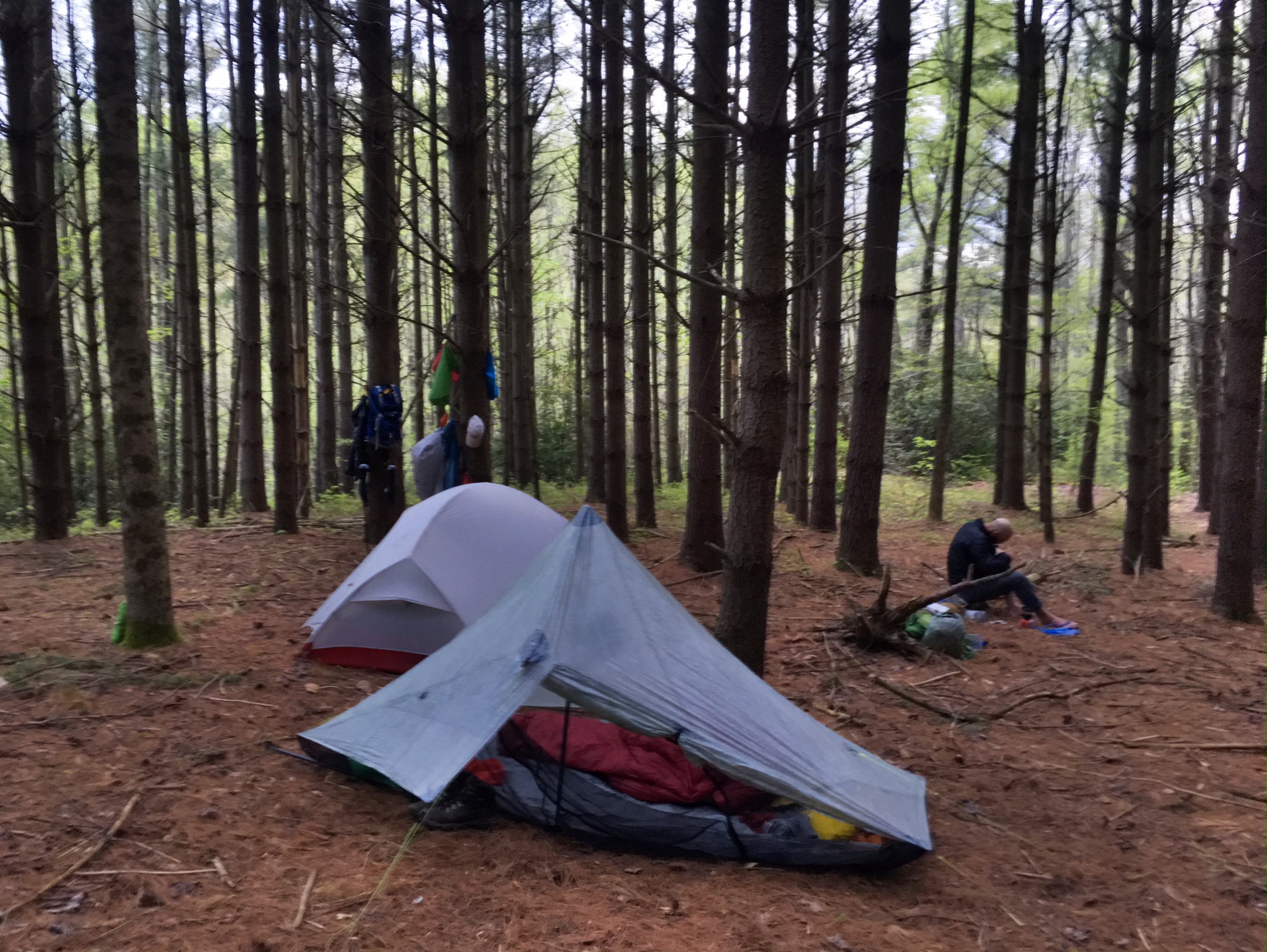
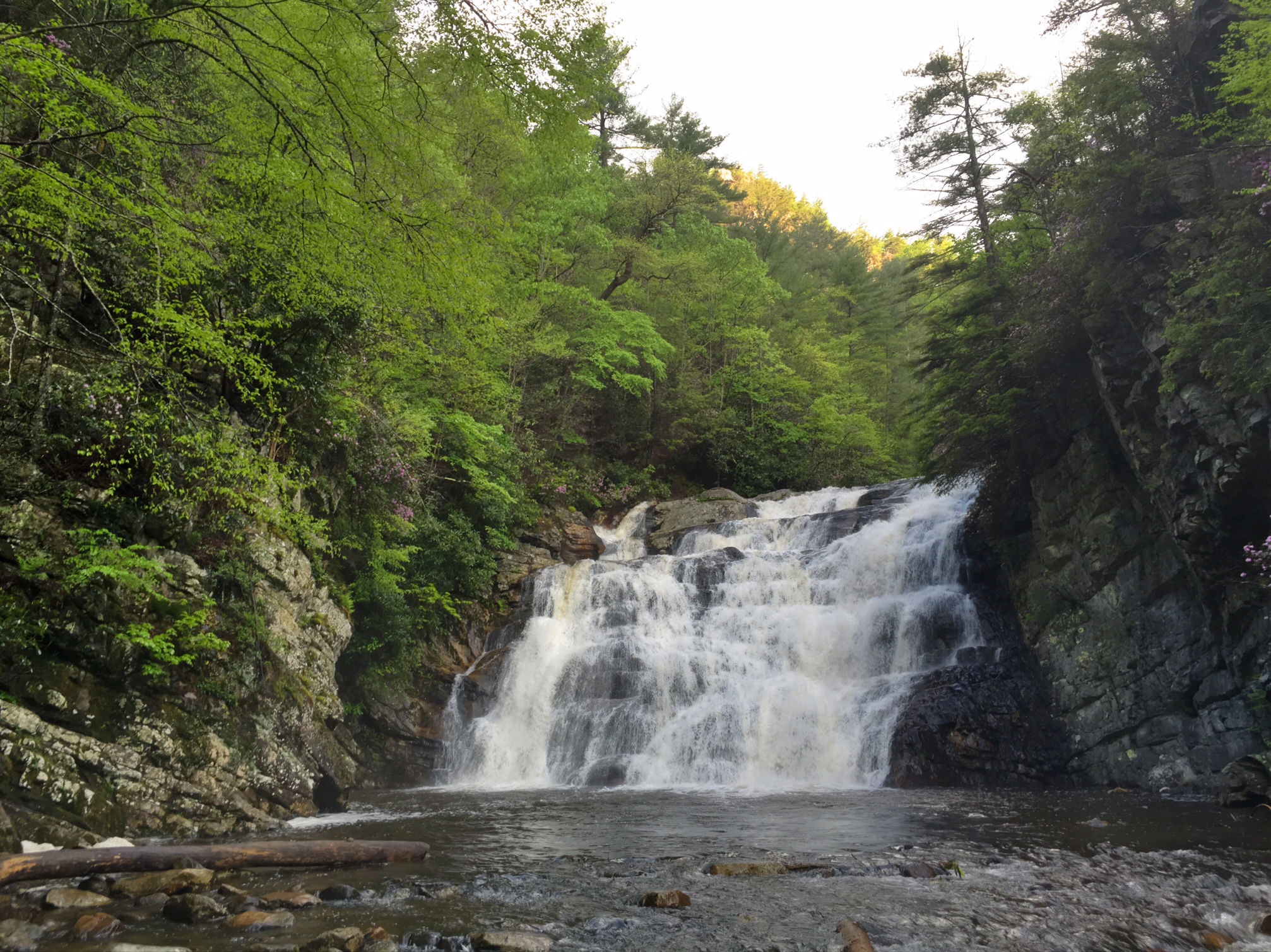
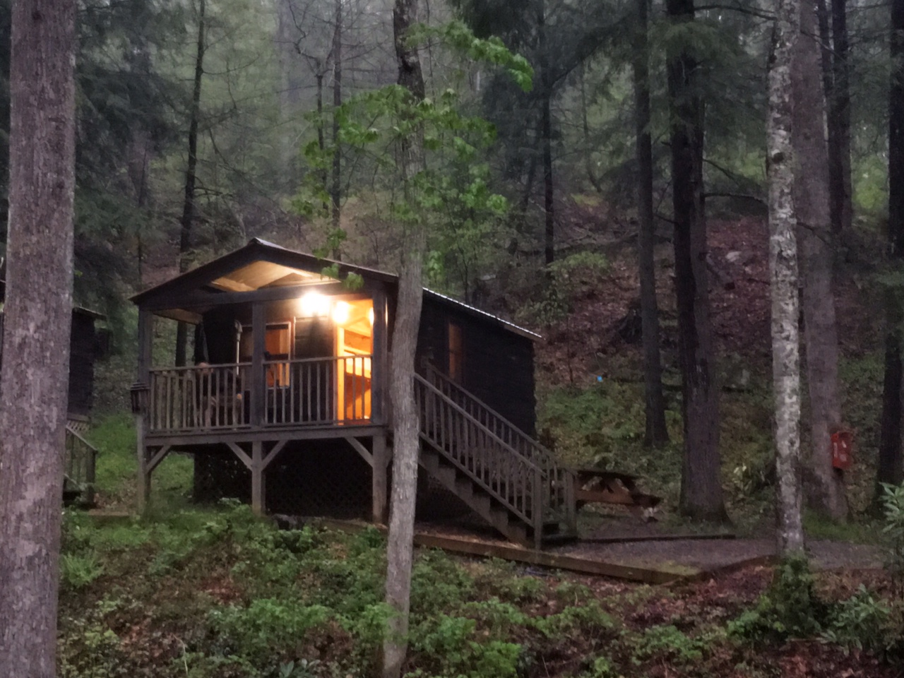
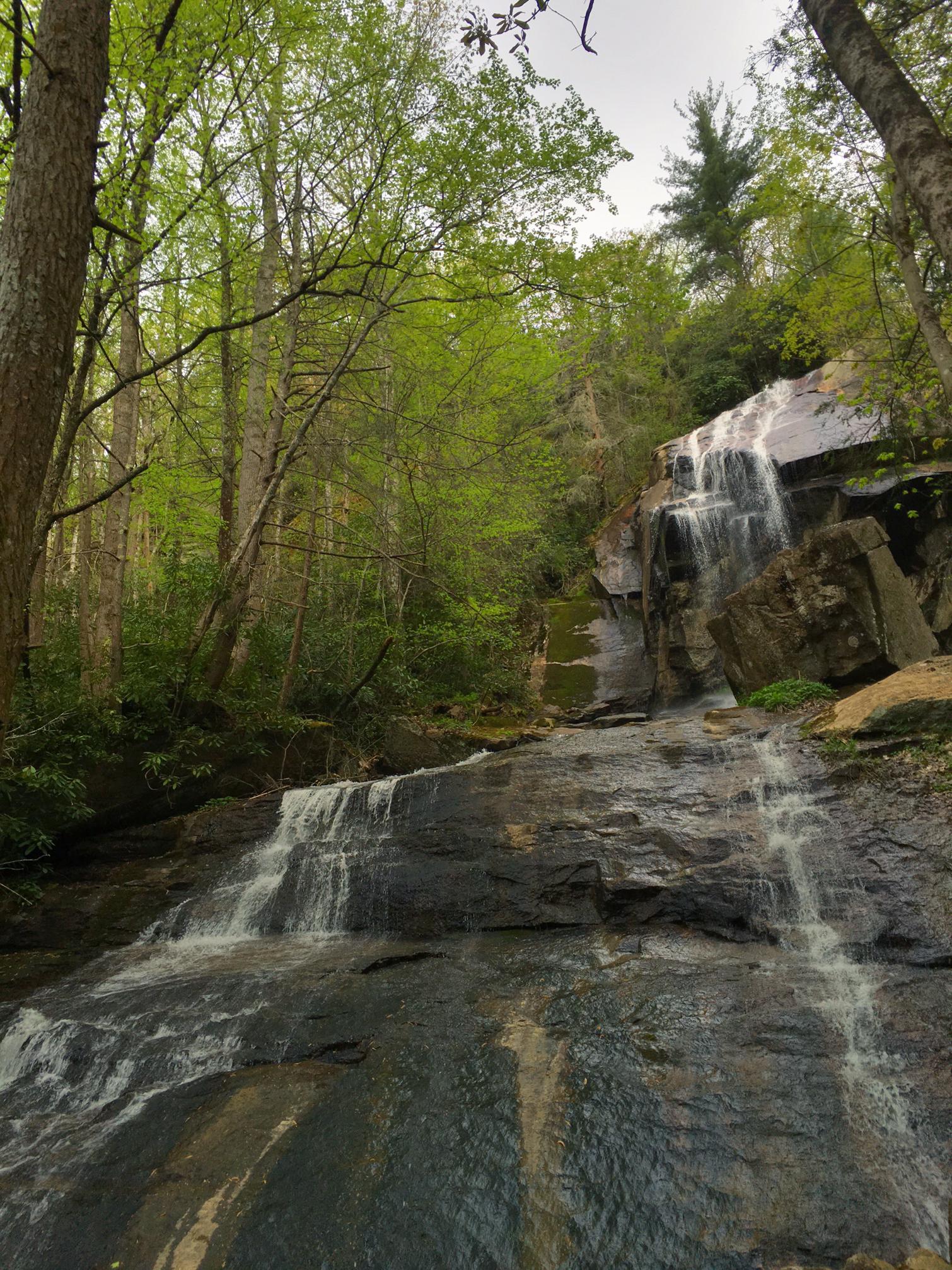
This was our campsite next to the Elk River…just about perfect other than all the dew on the ground and tents in the AM.

This was a good looking shelter about 4 miles up the trail. I stopped for water and a quick bite to eat.

Such civilized hiking… a comfortable park bench to kick back on and enjoy the view (this had to be 15 miles from a paved rd. in either direction)

The View…
this is the ridge line and Balds we hiked over yesterday The trail made a giant horseshoe over the last 30+ miles.
A quaint little cabin, but a bit drafty.
There was a forest fire that came through this area the week before. We were glad it wasn’t worse and we could now hike through. It still smelled quite strong,like a fireplace that needs cleaning.
More great views

We finished our 19 mile day by 4pm at a road crossing and being that it was supposed storm around 5pm we decided to get a cabin at the Bear Resort 1/2 mile down the road. Plus, they had ice cream, cold drinks, and all sorts of other hiker goodness. Around 5:30 the skies cut loose and we were feeling pretty smart. Several other hikers arrived during the rain completely soaked (not as smart).

Inside our cozy cabin…we shared it with another hiker (AJ) from Littleton, CO.

It was great to get a hot shower and have the time and room to clean and organize gear. We weren’t expecting to have time to do a lot of these chores until we got to Damascus in 3 days. Damascus is one of the best Trail Towns on the whole AT, plus, it’s the first town we will hit in Virginia! It’s setting up nicely for us to have a short day into town for resupply, laundry and relaxing before heading out mid afternoon the following day.

Pretty much all the nagging aches and pains have gone away, even the back muscles felt better today. Hopefully, they stay away for good. That would make the rest of this hike primarily a mental challenge. As I say, hiking the AT is 20% Physical, 90% Mental 🙂

Day 24, 4/29: M-399.5, Elk River (23mi)

Woke up to a cool foggy morning on top of Roan Mtn.

Some great view from the Balds on Little Hump Mtn.

The red barn has been converted into an AT shelter. What a spectacular setting!

Hiking up another Bald.

We’ve been crossing back and forth between NC and Tenn since we got to the Smokies. Now we say goodbye to NC.

This is Mountain Man. He started a southbound thru hike last August and left the trail in January and restarted mid March. He’s in the home stretch now. .

Even though we had a big 22 mile day planned we still managed time to hitch a ride 5 miles into town for Milkshakes et al.

Our driver, Mark.

AT hikers destination of choice.

This was my ride back (Mom was driving).

Jones Falls about a mile before camp.

Wound up doing 23 miles today with some minor side trips and detours. Felt surprisingly OK at the end of the day, though definitely ready to stop…at 7:45. It’s almost 10pm and I can barely keep my eyes open.

Day 23, 4/28: M-377, Roan Mtn. (21mi)

This little guy greeted me just after my 7am departure. I think he’s a newt.

More great views.

This is DirtMan, a local trail angel giving out bananas and Mtn. Dew

This would have been a great camp spot.

I met Lucky at a shelter during lunch. He’s doing a small section hike but he finished an AT thru hike last year at age 72…so impressive!

View from High Rock Knob

Delicate flowers on the way up Roan Mtn.

We entered a very dense Spruce forest before summiting Roan Mtn, our last peak over 6000′ until the White Mtns of New Hampshire.

It was a long day with a lot of climbing but definitely feeling strong and the minor nagging pains are getting better. My back still has some muscle tightness…too much constant tension between hiking and bending over (filtering water, setting up tent, etc). A good massage would be great in Damascus, VA.

It’s almost 10pm, well past hiker midnight (sundown), I’m going to bed!