Day 11, 5/14, Coon Creek Cabin, M-246, 28mi

Some days are long, some days are hard, and some days are long and hard. Today was the latter…28mi and 7500′ of climbing. Part of the reason for the longer day was that the end of the day was through a recent fire burn area so there are not too many safe camping areas (dead trees could fall on you), so I pushed to get to a camping area next to a USFS cabin.

Last nights campsite as I departed just after sunrise.

Not sure what kind of flowers these are that I see often. The blooms are large (4-5″ across)…desert Lilly?

Mt. San Jacinto which I summited two days ago.

Prickly Pear cactus blooms.

Mt. San Gregorio in the setting sun…the highest peak in SoCal (11,500′).

An evening rest break.

Camping at Coon Creek Cabin. A chilly evening back up at over 8000′

Day 10, 5/13 Whitewater Preserve, M-219, 26mi

After descending over 4000′ yesterday evening there was still another 5000′ to do this morning before reaching the desert floor.

Up above the desert floor coming down Fuller Ridge.

Another milestone…200 miles.

An oasis…shade under a rock and water. This is the first water on trail in almost 20 miles….and a water fountain no less (compliments of the local water district whose facilities are nearby).

A couple miles after the water fountain Trail Angel Coppertone was set up giving out rootbeer floats.

The not so pretty desert as we approach the I-10 underpass.

Trail magic again!

Soda, water, beer and fruit stashed under the bridge for hikers.

That is the mountain from last nights tent pic.

Trifecta! More trail magic compliments of the wind farm company…
Nothing glamorous, but we were very happy to have shade and water.

It was relatively comfortable in the 70’s today with a nice breeze but it still felt hot in these exposed environments. This stretch would have been brutal if it was in the 90’s as is typical.

Tonight I setup camp at the Whitewater preserve a nature center just off trail and very hiker friendly Flush toilets and running water!

Day 9, 5/12, Fuller Ridge, M-194, 23mi

Today was a big day of climbing. Idyllwild is at ~5500′ and I pretty much climbed all morning to top out on Mt San Jacinto at 10,800′.

Morning light on Tahquitz Peak

View back toward Idyllwild with Tahquitz Peak on right end of ridge.

First snow of the trip ~9000′

North facing slope with lots of snow.

The mountaineers hut just below Mt. San Jacinto

Mt. San Jacinto… the highest Peak in Southern California

Definitely snow on the trail !

First real water crossing.

Camped among the Manzanita on Fuller Ridge. I’m so ready for bed!

Day 8, 5/11, Idyllwild, M-168, 21 mi

Last nights accommodation as I departed at 5:45 this morning…a cute little place just a couple blocks from the middle of town.

Due to a fire from several years ago there is still a trail closure for several miles and the re-route allows us to come back into Idyllwild. I hitched back to the trailhead and hiked the next 15 miles and then had to detour off trail.

Sleepy Idyllwild at 6:00am.

A blue sky day with some purple desert wild flowers.

These little flowers were everywhere today.

Views toward Palm Springs below.

If you look at the selfie closely, by my right ear (left side) you will see the corner of my sit-pad on top of my pack. When I stopped at lunch…no sit pad! This pic helped me narrow down where it got lost. I left a note on piece of paper on the trail for others to keep an eye out and text me if they found it. It’s been Found and I’ve been texted! Hoping to reunite tomorrow 🙂

Longhorns enjoying the view.

Idyllwild locals are always happy to give hikers a ride into town!

The State Park campground in town has $3 campsites for hikers and $1 showers. Here are three of the 15+ tents in the hiker area.

Day 7, 5/10, Idyllwild, M-152, 14mi

Considering I had 13 miles done by 10:15am and I was in town by 12:30, you’d think I’d have had the whole day to relax! But, as usual there were a ton of things to do in town: laundry, shower, resupply, organize gear, minor repairs. Luckily, the cute mountain town of Idyllwild, CA has everything a hiker needs within a short walk and the locals seem to lIke us sorry hikers!

This was my campsite this morning just after sunrise. My neighbor is Dudders from Hawaii (65 years old!).

There are fairly big mountains on the horizon we hiked off of yesterday that are completely socked in by low lying clouds.

This was an interesting Trail Angel water cache.

They have a Little Library me really like Thoreau.

If you zoom in you read about their inspiration.

The famous Paradise Cafe just a mile down the road from where the PCT crosses. Lots of happy hikers (Jeff and Radio).

We were able to quickly hitch a ride into town… thanks for the lift!

The shop pooch at Nomad Ventures. Apparently, a good hiker even though his legs are two inches long.

I was too busy to remember to take more pics of town…maybe tomorrow before I leave bright and early ?

Day 6, 5/9, Nance Canyon, M-140, 26mi

It was perfect hiking weather today. Considering that this area can typically be scorching, most of today was in the low 60’s. This was especially convenient because there’s a 35+ mile stretch with no water on trail and only two sources within a half mile. Needless to say these cooler temps make the water situation much less of a concern.

The trail passed through all sorts of terrain. From creeks with big trees to desert mountains with tons of cactus and agave (still trying to figure out how you squeeze the tequila out?). The area pictured below was an interesting (and random) boulder field.

Luckily, the trail skirted a nice path in between these monstrosities.

One of the water sources for the day was compliments of a trail angel named Mike who has a property just off the trail and gives hikers access to his water tanks.

He also lets you hang out under the covered porch on his house with pop and beer for sale.

Later in the day the trail had gained about 3000′ and the clouds rolled in with temps in the 50’s. If you zoom in you can see Mike’s water tanks on the right side and his house toward the middle.

Ominous clouds but no rain today.

Lots of delicate desert flowers poking out of the rocks.

The trail has been lined with many flowers I don’t know the names of…

I think these are my favorite 🙂

Day 5, Warner Springs, M-115, 22 miles

It was great to wake up to clearing skies as the bad weather moved out last night. I gave myself a little treat when I went to bed…a pair of hand warmers in my sleeping bag! The best part was they were still warm when I started hiking at 6:15 and I used them in my gloves for a couple hours

Last night’s campsite just before I departed this morning. .

Some of the snow we got clinging to the higher elevations.

The first 100 miles completed!

This was a fantastic water source piped out of a spring (no floating bugs to worry about!)

We missed the superbloom in the Anza Borrego desert by a couple weeks..still pretty 🙂

Some remnant “blooms”.
The famous Eagle Rock…I just got lucky there was a hiker with an American flag on his pack to complete the picture.

The tiny town of Warner Springs has a community center dedicated to helping hikers as they travel through: bathrooms, water, wifi, snacks, and lots of helpful volunteers.
Here’s a happy hiker enjoying a $1.00 epsom salt foot bath.

A @cow showdown”…he gave me the stink-eye then moved out of my way.

Home for the night next to the Agua Caliente Creek.

The weather was just about perfect today. The sun was out with temps in the low 70’s. Time for bed now!

Day 4, M-93, 22 miles

I started hiking this morning at 6:15 after a rainy night. A double rainbow is always a good way to start the day!

I hiked about 6 miles before reaching Scissor’s Crossing where I hitched a ride into Julian, 12 miles up the road. This is baby Charlotte, her parents gave me a lift.

Julian, CA is a quaint old mining town that has a lot of pie shops. Yes, that’s snow…brr!

The best of the pie shops is Mom’s Pies… she gives out free pie, ice cream and hot chocolate to all PCT hikers. This is a couple I met who are also from Denver…they are so happy because they are about to eat free pie (and out of the cold and wet)

Luckily, the weather was better by the time I got back to the trail. Some on and off drizzle but good hiking temps, especially considering this can be a 30 mile waterless stretch in what is often blistering heat.

By the time I got to camp it had been drizzling for a while, but I was mostly wet from walking next to all the wet vegetation. Putting on warm dry clothes felt great, in addition to throwing a pair of “hot hands” inside my sleeping bag!

Day 3, 27mi, Mile-71

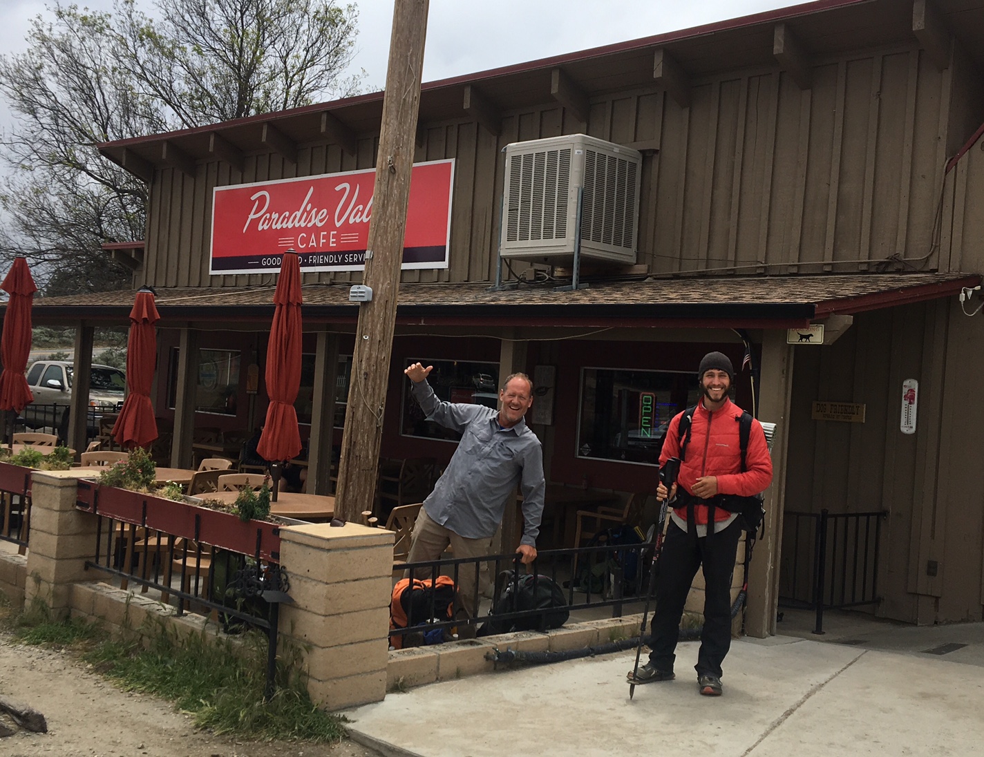
It wasn’t my plan to start banging out such big mile days so soon. It’s the result of a combination of things:

1) The trail is super smooth and the climbs are very gradual which makes for fast walking. I don’t think I ever saw 3-consecutive miles on the AT that were as smooth as what I’ve walked so far (I don’t think I saw 3-miles like this collectively!)

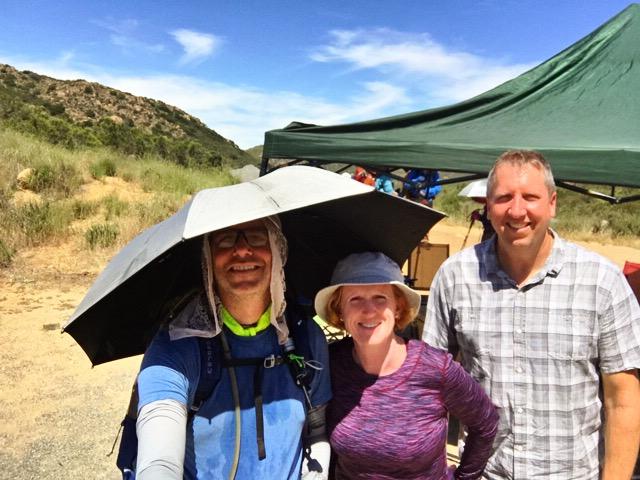
2) I feel surprisingly strong. Even though the trail has been kind underfoot it’s still a lot of time on the feet and I thought it would take longer to adjust (it’s gotta be the shoes…Altra Olympus trail runners)! I’m also surprised the heat hasn’t taking a bigger toll. I guess all my defenses against the sun are working (umbrella, sun-sleeves, hat, scarf, etc).

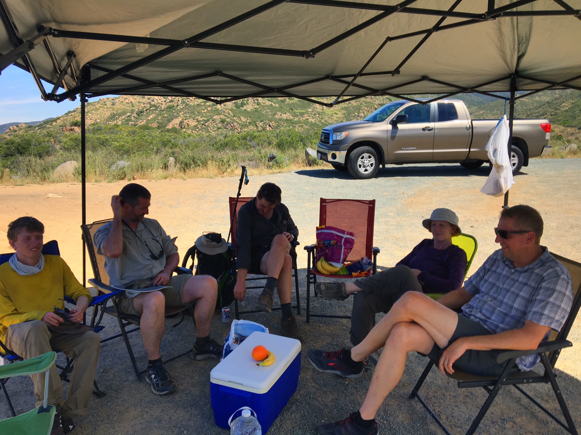
3) Logistics have also played into my pace. Whether it’s pushing to the next water source or just not wanting to stop until the next bit of shade. All these things combined have made for the bigger miles. Especially, when you don’t have AT shelter to hang out at and pass some time.

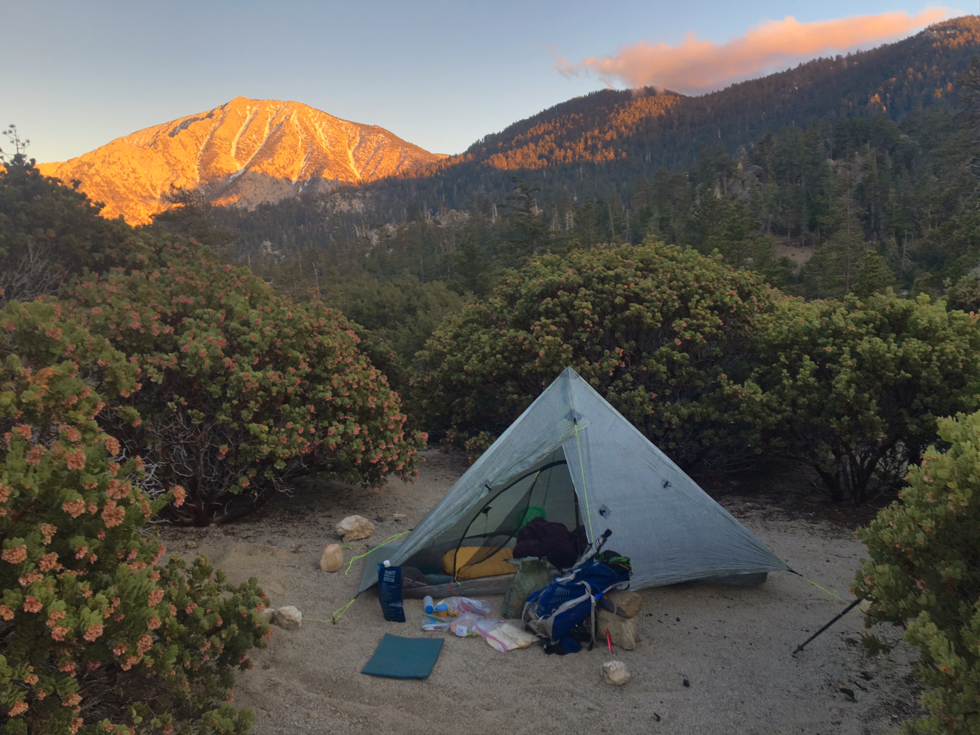
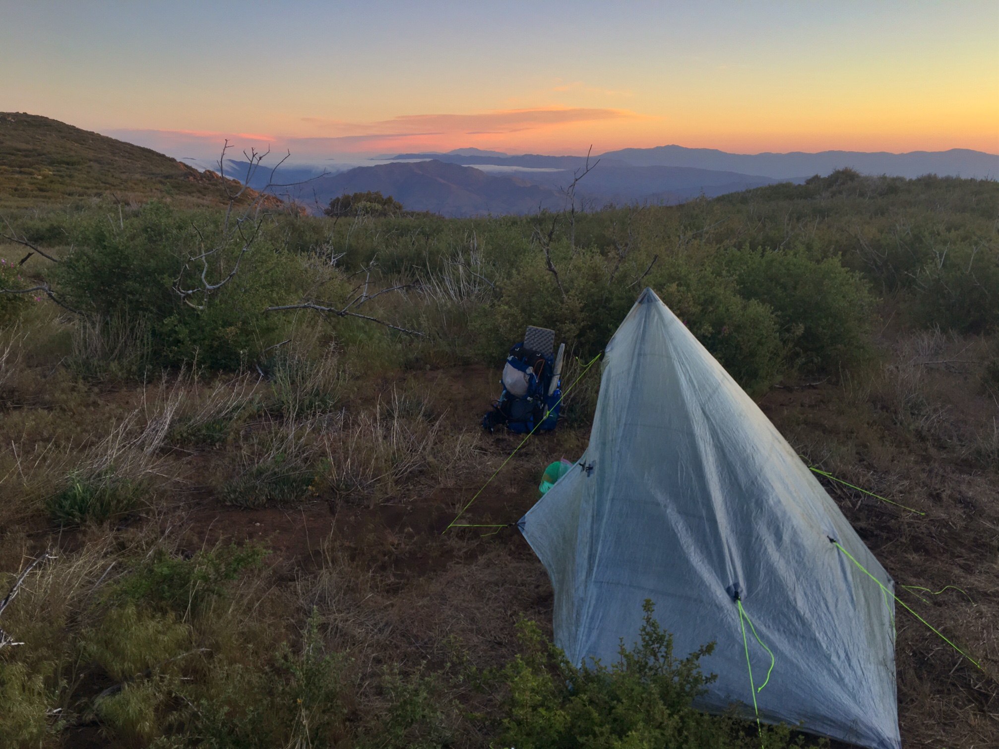
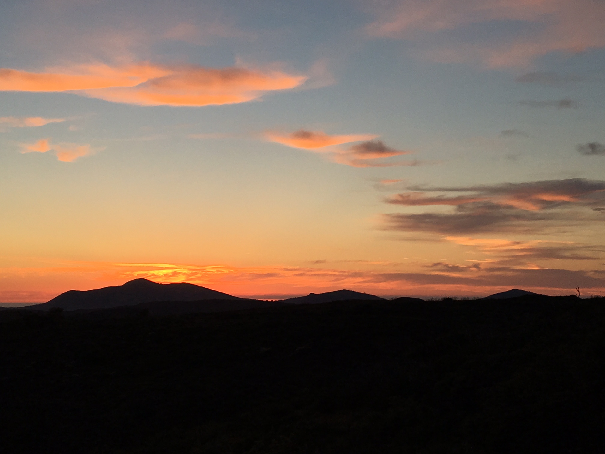
The Sunrise from my campsite. Since the temps were supposed to be more moderate I had a leisurely 6 am departure.

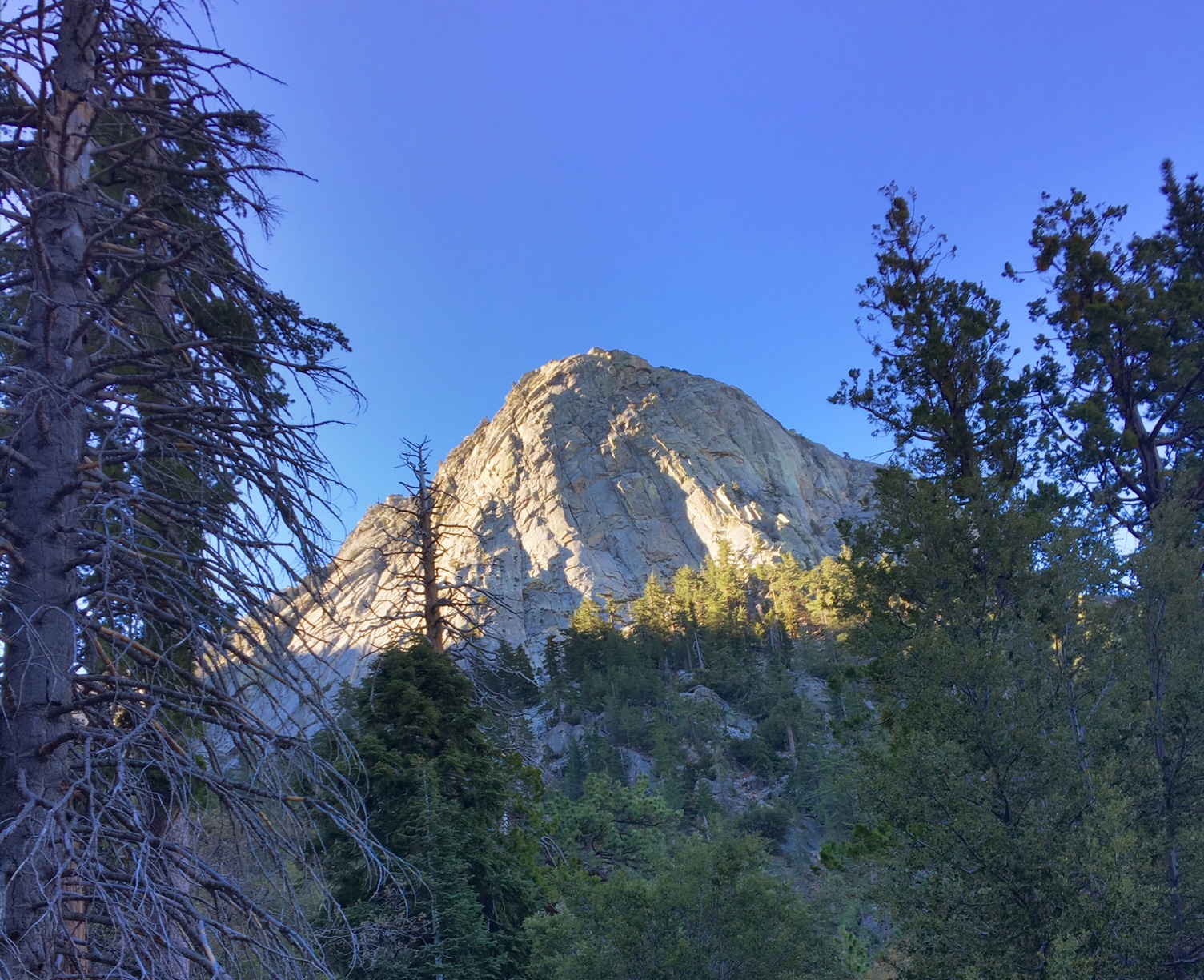
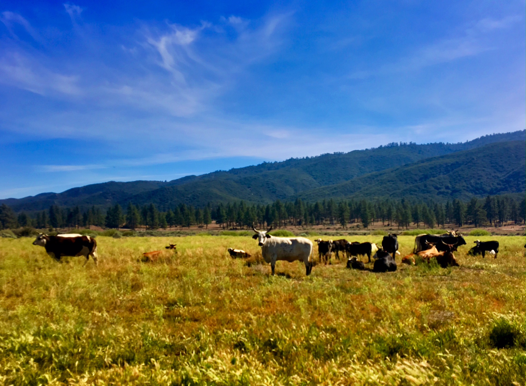
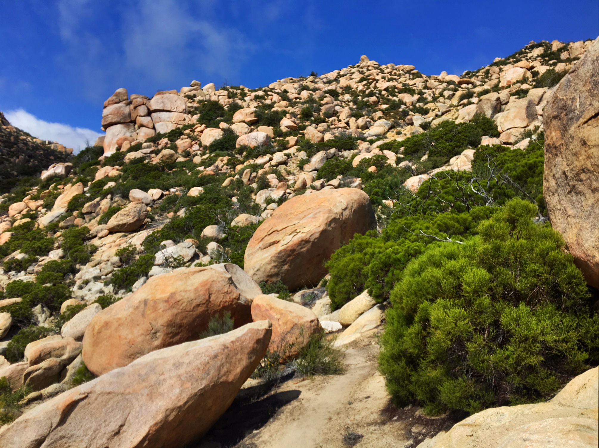
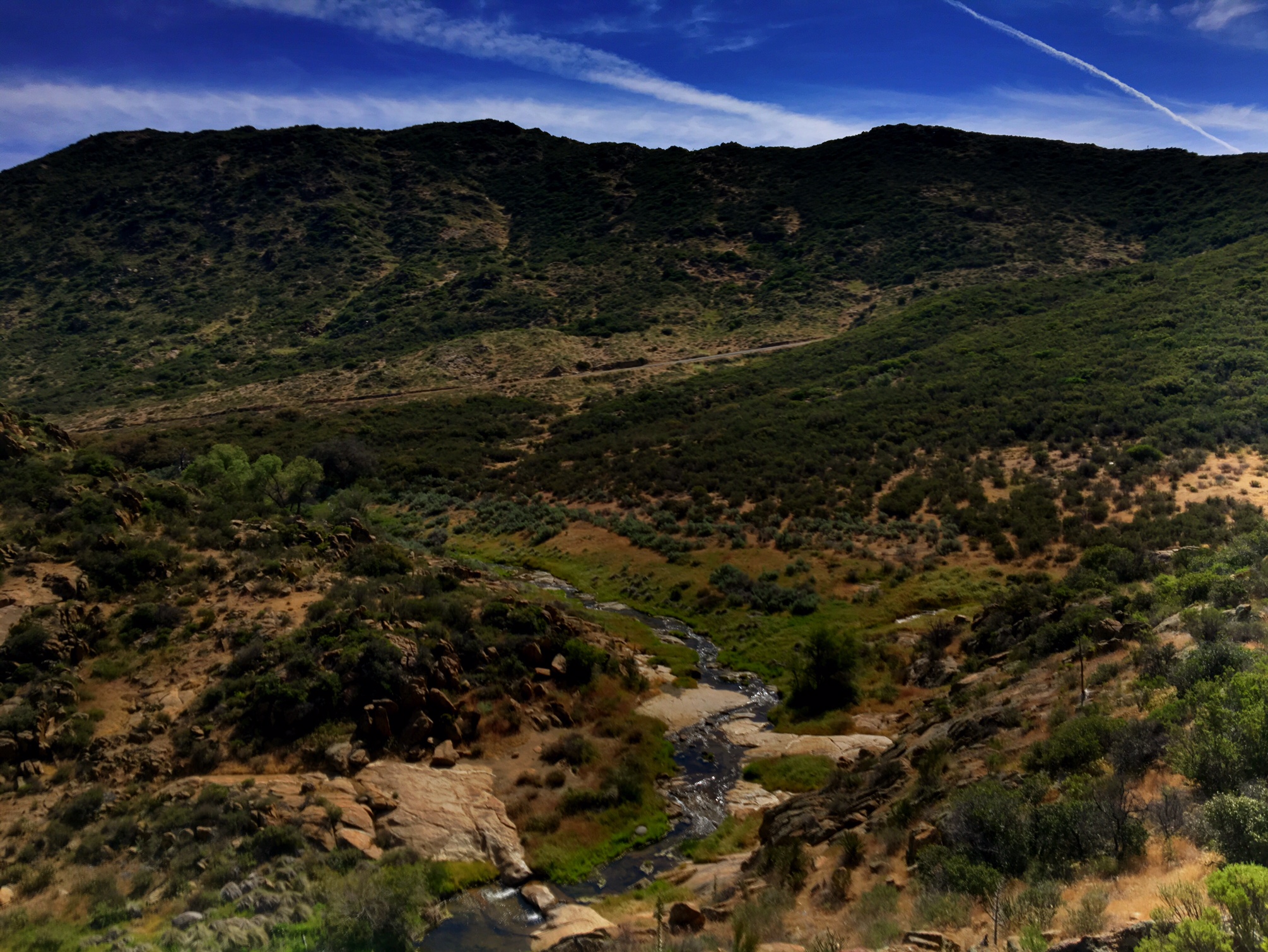
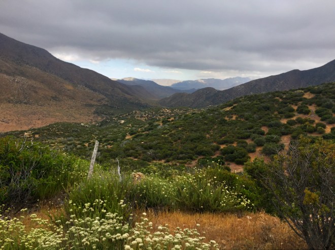
Most of the morning was spent hiking on a plateau through the Mt. Laguna Recreation Area.

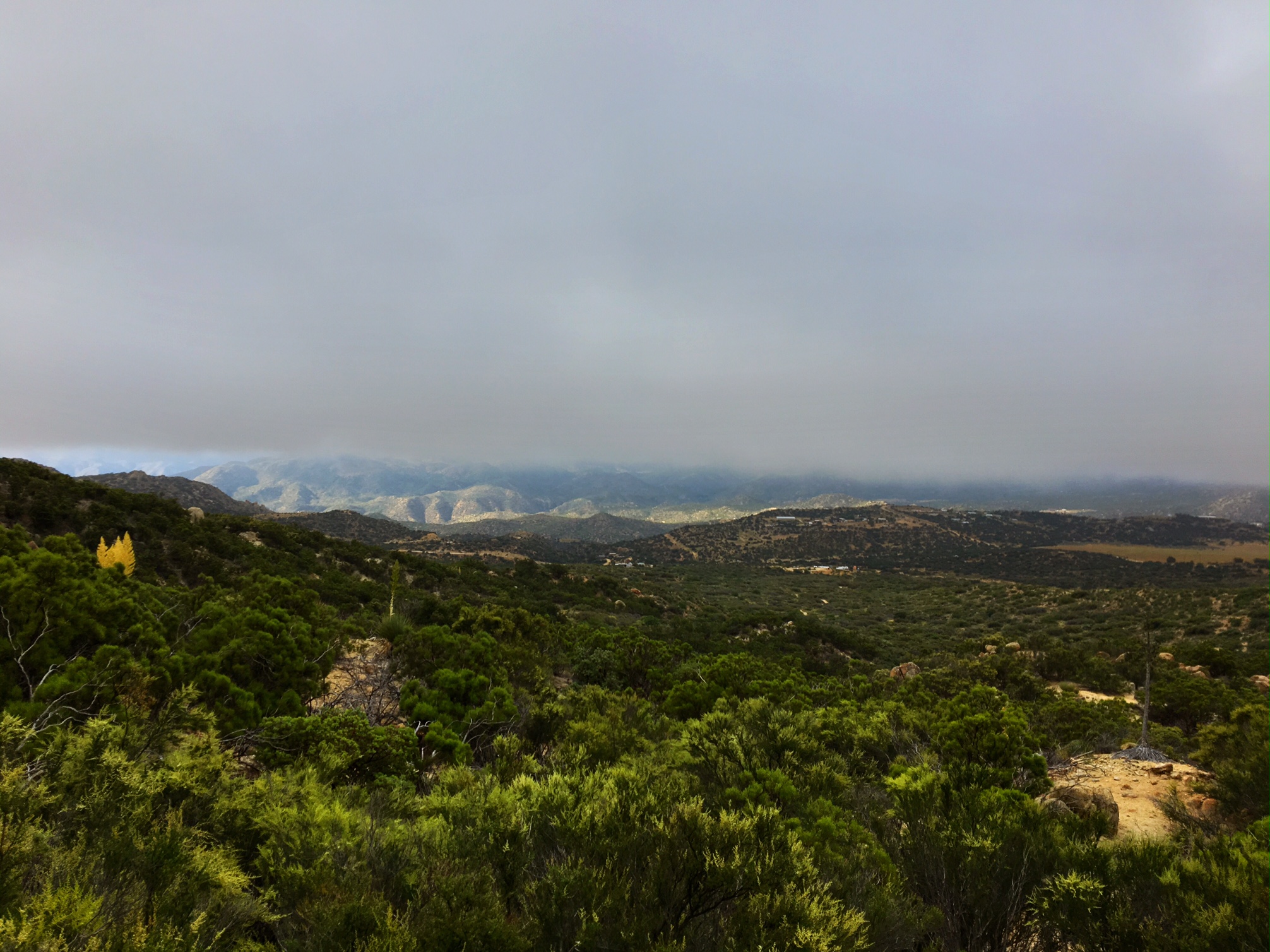
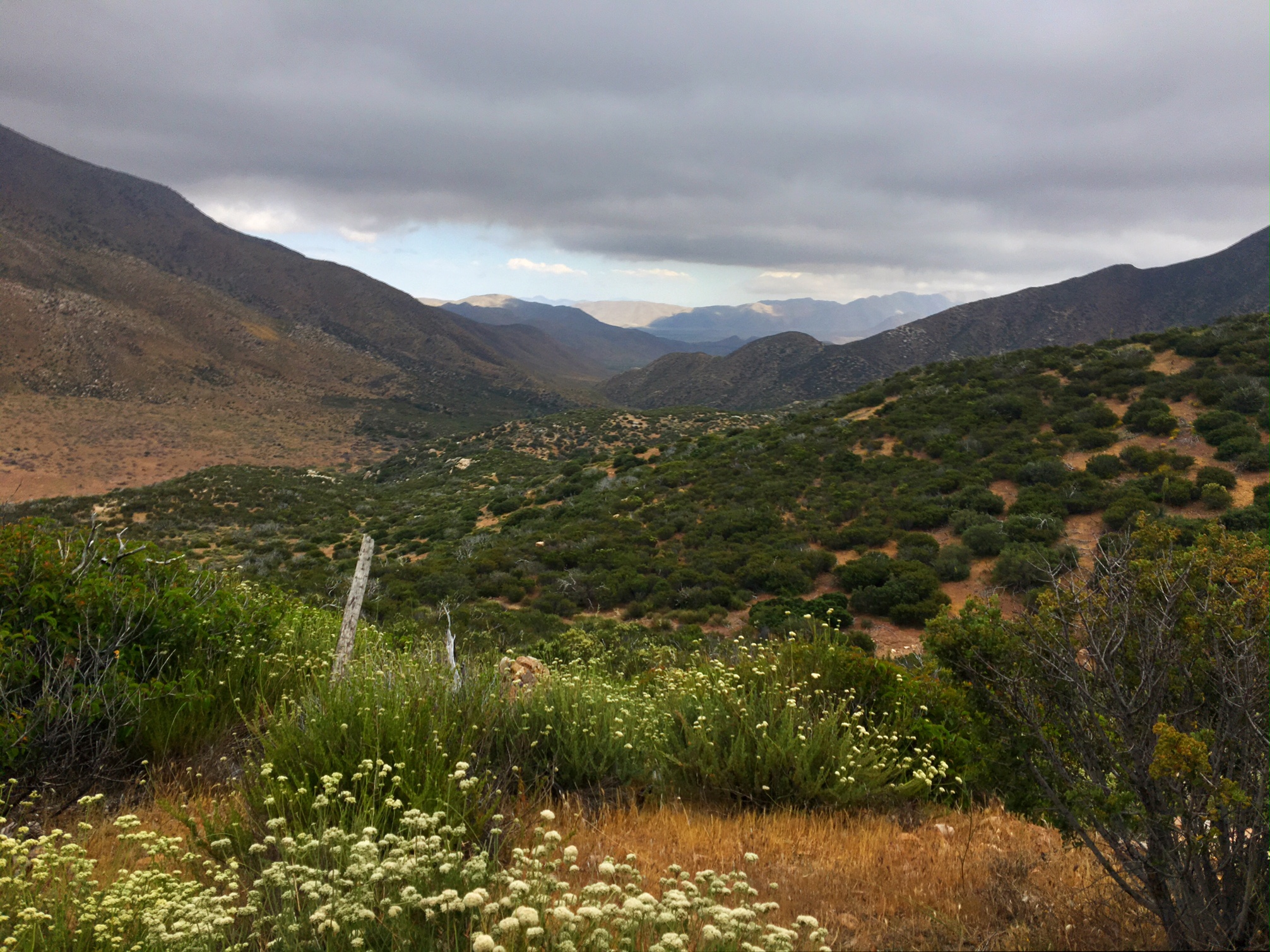
The clouds were racing in from the west. Depending on the exposure of the trail it could would be cool and damp, then with one turn of the trail: warm and sunny. This area could see 4-9″ of snow tomorrow! Luckily, I will be at lower elevation, but will likely deal with some desert rains.

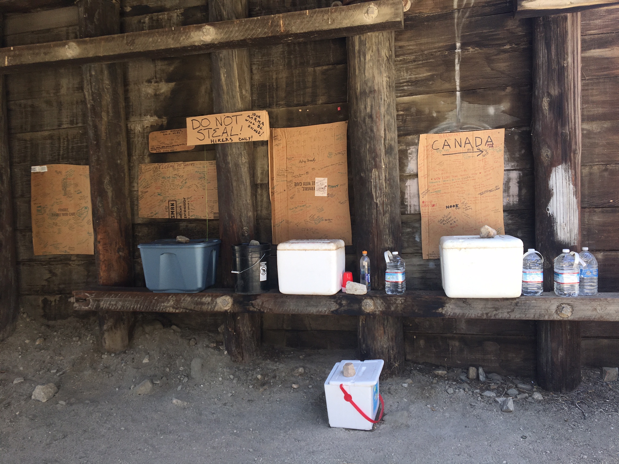
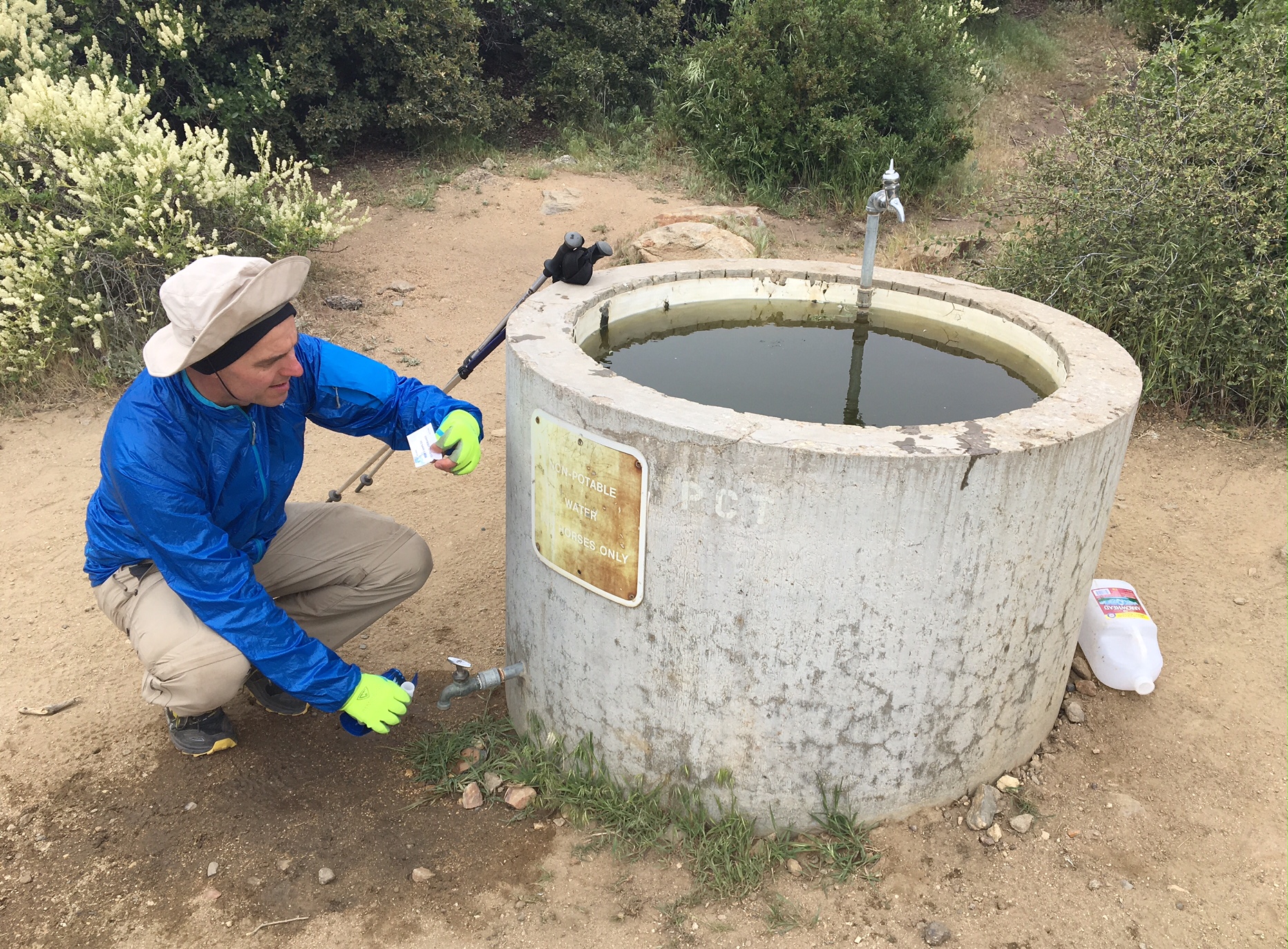
Not all water sources are created equal. The sign says “Non-Potable, for Horse Only”…and thru-hikers, apparently. The next water source is 18 miles away. At least it’s not blistering hot.

A whole new meaning for the name “Bug Juice” (zoom-in).

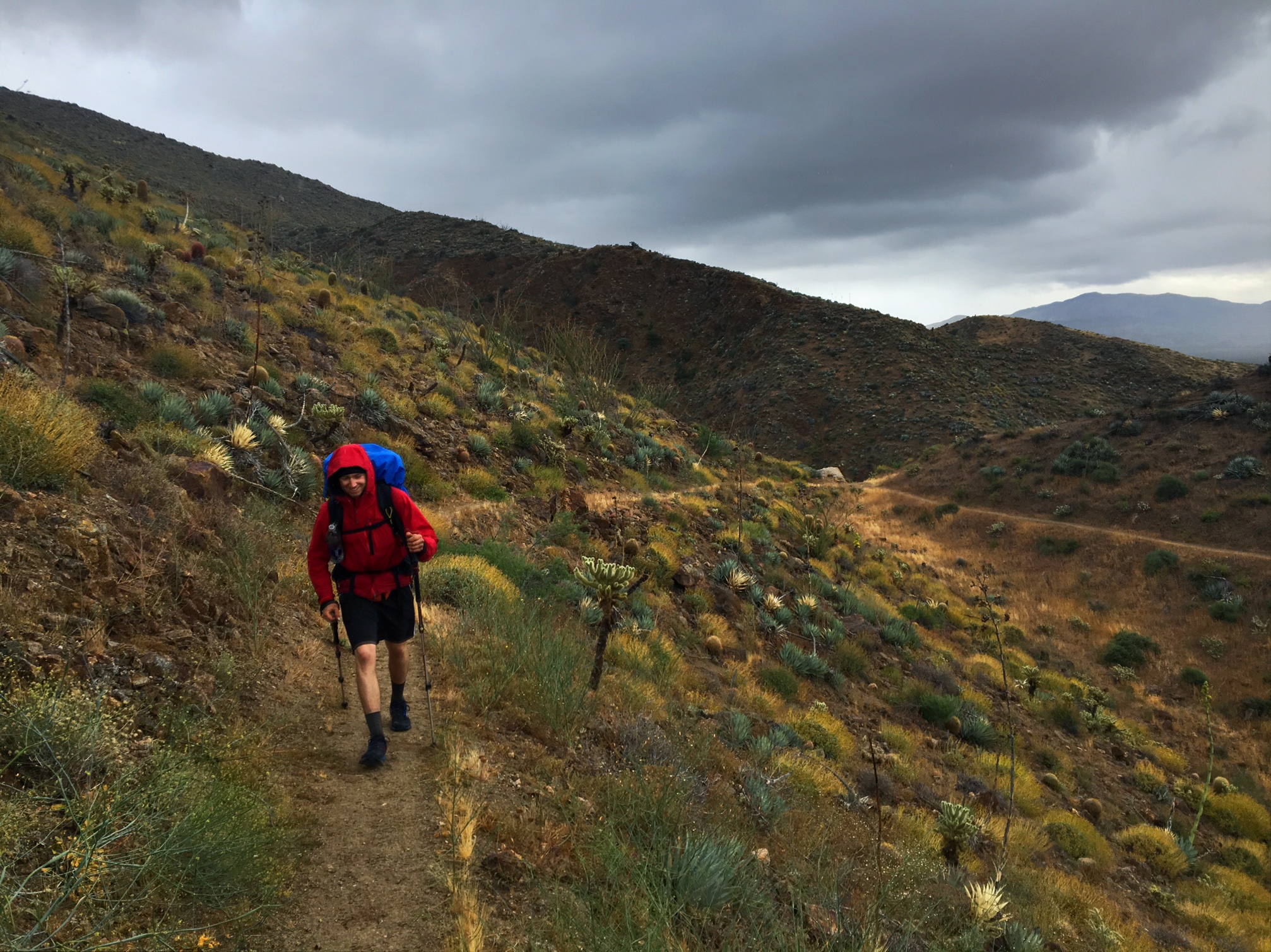
The weather is rolling in.

My feet never got this dirty on the AT!
Not sure how the dirt gets through my shoes and then my socks and does this too my feet?

Day 2, M-45, 26 miles

I was up early this morning so I could be hiking by sunrise at 5:30am and get some cooler miles before the afternoon heat.

Here are some of the dozen or so tents setup at the PCT hiker area of the campground as I left tho AM.

Surprisingly green in the desert.

The first Trail Magic! Lori and Dave (sorry if I got your names wrong, it’s been a long day). drove 60mi from San Diego and hooked everyone up with cold coke, Doritos and oranges…hiker bliss!

This is Swiftfoot, she’s 10 and hiking the all the way to Canada with her mom and grandpa!

The whole family.

Departing our trail angel hosts and rockin’ all my sun-gear.

The hiker family with their umbrellas deployed.

We gained about 4500′ today and am camped at 6000′. Out of the desert and into the mountains…temporarily!

Surprised they needed to pass an ordinance to address this.

A gorgeous sunset tonight just as I pulled into camp.