Day 13, 7/29, 25mi (M-298): near Lujan Trailhead

Woke up this morning to hazy skies with clouds in the valley below.

My rain fly was soaked from the rain last night but dried out after about 5 mins of sun and breeze.

Most of today was uneventful hiking. I Only saw a couple other folks on trail. I was surprised how many wildflowers were out considering I was in the trees much of the day.

Even better !

It was a good day for podcasts and audio books. Water was a bit scarce too (22mi between sources) but the temps were mild and the terrain was moderate so I didn’t need to carry anything too excessive.

Day 12, 7/28, 17mi (M-273): near Windy Peak

It was a relaxing morning at the Hostel…slept til 6:30 🙂 Around 8:45 I met up with my friend Katy’s Mom…Linda Beek who is a devoted follower of this blog. Linda lives in Buena Vista which is about 30mi from Salida and offered to drive down to meet up for breakfast, and was then kind enough to drive me back up to the trail at Monarch Pass. Linda is now officially christened a Trip Angel ! (Plus she brought a bag full of yummy homemade Monster cookies).

He we are with the dogs loading up the car.

Katy and Todd’s very tired dog, Lucy.

There were some storm clouds brewing above Monarch Pass….mostly just some wind and spit above treeline.

This is a family from China with their 7yr old hiking the whole trail. In the back left is Albert from Waco, TX…we picked him up hitchhiking back to the trail on our way out of Salida.

Here’s Albert trying to get cell service in camp.

A beautiful camp spot in the pines with a wildflower front yard.

We decided to setup camp a bit earlier (6pm) since there were not a lot of camping options and I had heard some thunderstorms might roll in around 7pm. Sure enough, at 7:30 clouds darkened and the thunder was rolling. By 8:00 the rain came and I was dry, warm and cozy inside my tent.

Now it’s 8:30 and the weather has moved on but I do not plan on leaving the tent 😉

Day 11, 7/27, 9mi (M-262): Salida, CO

A short day was planned for today so I slept in until 6am 🙂 The temps were surprisingly mild considering I was camped at 11,500’.

I was on trail a little too late to get a prime sunrise pic.

There was one steep climb to get over the divide and drop down to Monarch Pass.

The trail went right through the Monarch Pass Ski Area.

About 10am I arrived at Highway 50 and Monarch Pass.

After picking up a resupply package at the gift shop, as well as a couple snacks, I was offered a ride into Salida by a local trail angel named Chuck. He had just driven up and dropped off several other hikers.

Home for the night was the Salida Hostel and Inn. A perfect place to shower, do laundry, organize gear and relax. Several other hikers were staying here as well.

The sun setting over the Collegiates.

Day 10, 7/26, 27mi (M-253): Hunt Lake

Today was another tough day…6000’ of climbing and 90% was over 11,000’ of elevation. I did get lucky again with the weather: thunder and dark clouds danced around me but somehow I stayed dry.

This morning’s sunrise.

Surprisingly, the first Columbine of the trip (the Colorado state flower).

Mid-day siesta selfie.

Some of the climbs today were steeper than I’ve come to expect you n the CT, but at least the views are worth the effort.

This was an impressive scree field going up the mountain. The trail was skillfully constructed across the middle.

Home for the night is Hunt Lake. 30 mins after this picture the clouds rolled in and completely obscured the mountains.

Since I’m a bit ahead of schedule, tomorrow will be a short (~9 mile) day to Monarch Pass where I can hitch a ride into Salida for some R&R as well as a shower and laundry.

Day 9, 7/25, 26mi (M-226): Creek by Divide

The climbing started pretty much right out of camp. There was a lot of climbing today but the weather held out even with all of the storm clouds in the vicinity.

Lake Ann just before creating the Pass.

The final approach of Lake Ann Pass with my shadow in foreground. Some years the snowfield can have a tricky cornice to navigate well into late July. This year it was a non factor as the trail skirted just above it.

The view to the West with Taylor Park reservoir in the distance.

The normally elusive Pika held still just long enough for this pic. Not sure why this one obliged …typically they are darting around diving into the rocks.

Storm clouds to the North were getting kind of close.

There are actually two moose in this lake… a couple hundred feet below the trail.

The trail spent a good portion of the afternoon above tree line following the ridge (the Continental Divide).

A family of Marmots.

This was today’s elevation profile. The 7000’ of climb was extra tough since most of it was above 11,000’ (the dark black line) and there were a lot of stretches over 12,000’.

Home for the night at 11,900’.

Day 8, 7/24, 21mi (M-200): S. Fork Clear Creek

I slept in today…5:55am! As it was only 5mi to the Twin Lakes General Store and they don’t open til 8:00 (so I thought…actually 9am). I didn’t set my alarm for my normal 5:15 wake up call. Temp were mild in the mid-50’s and it was easy hiking to the store.

Twin Lakes in the background.

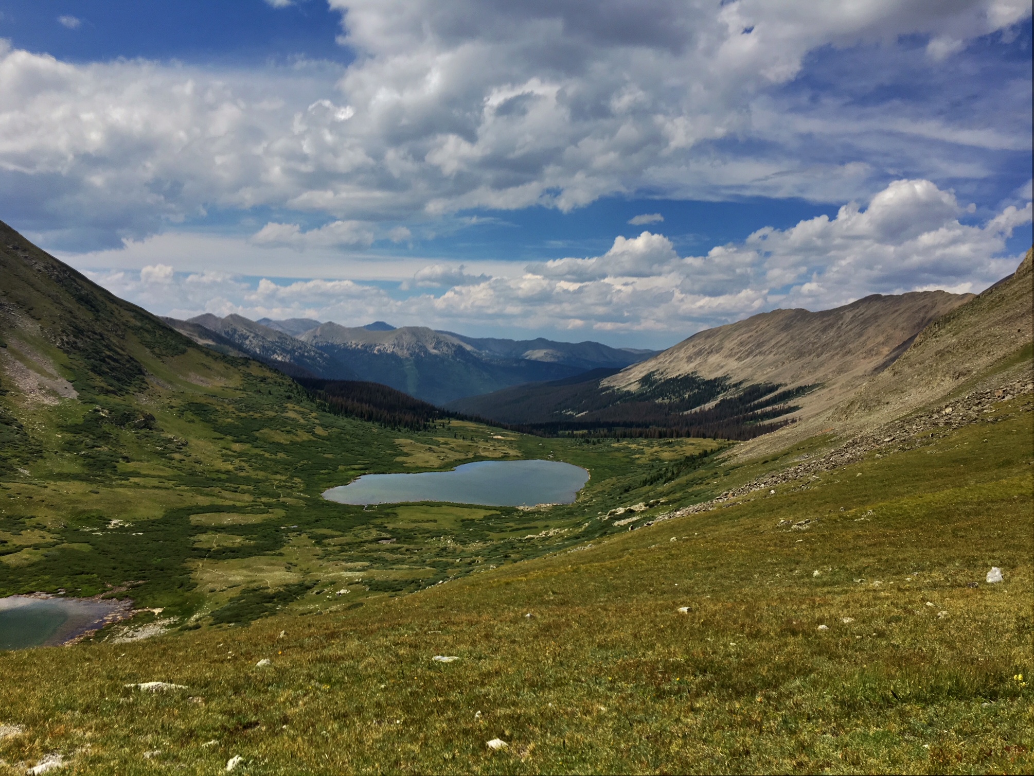
A much better view of the lakes.

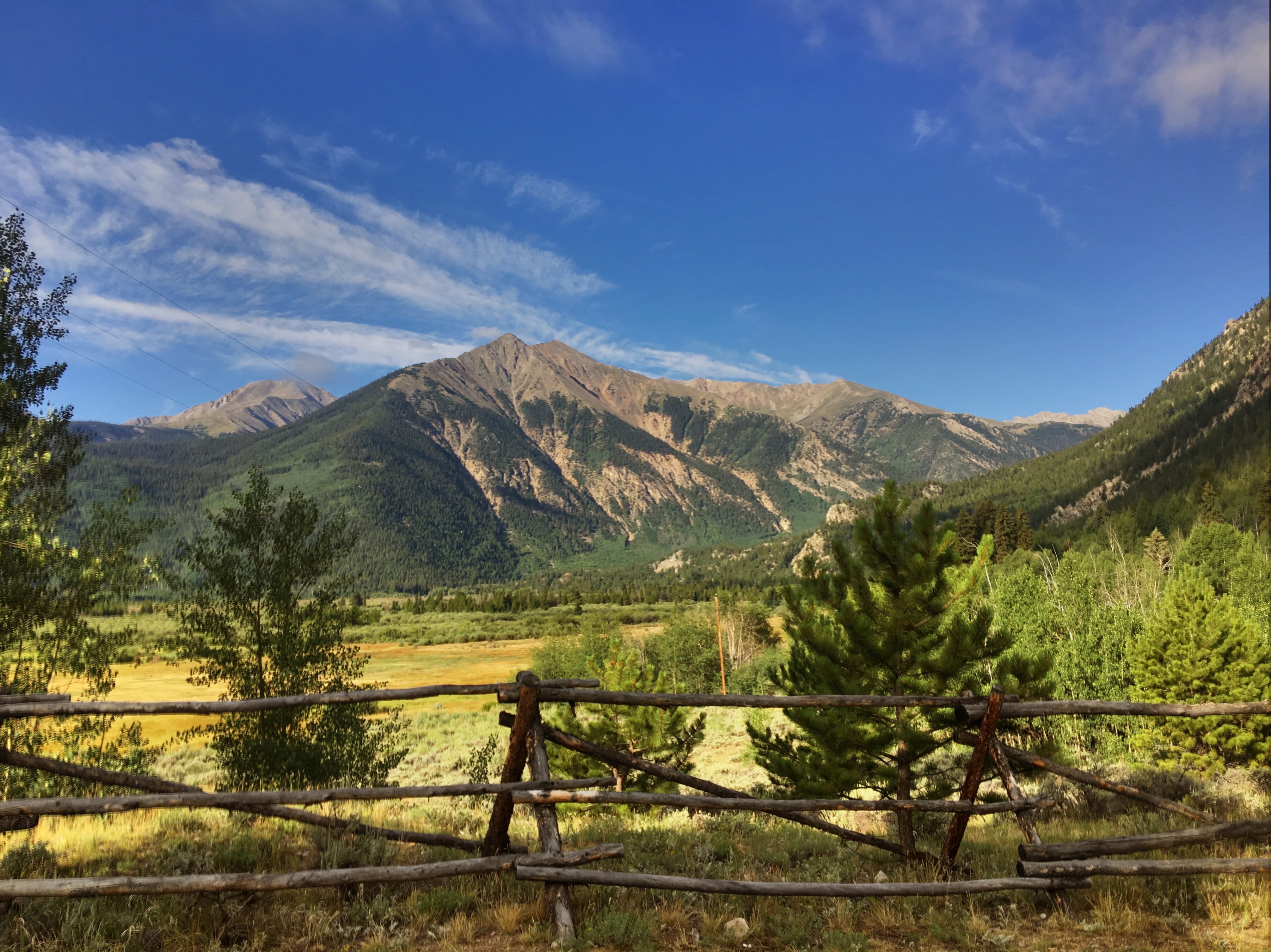
I think this is Mt Hope.

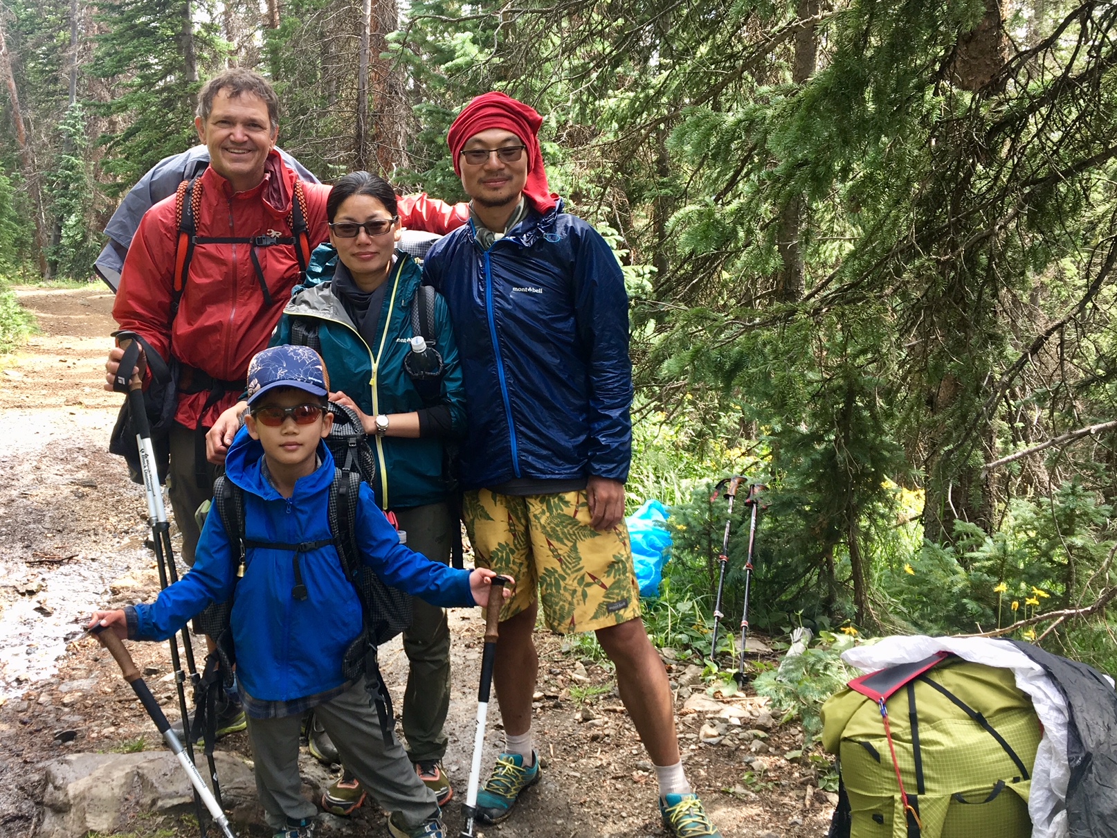
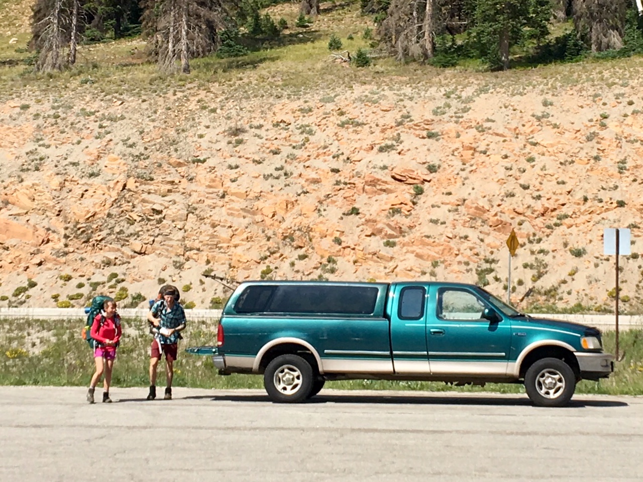
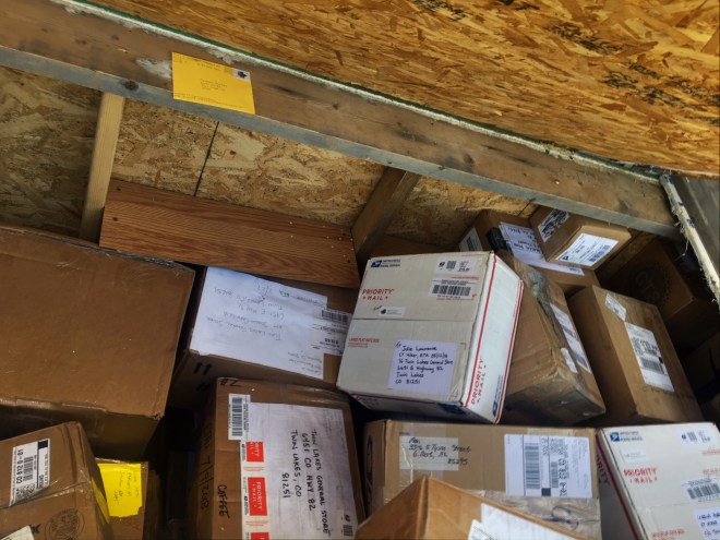
The free for all of resupply boxes in the storage shed at the general store…luckily mine was still in there! At least they don’t charge anything for the service.

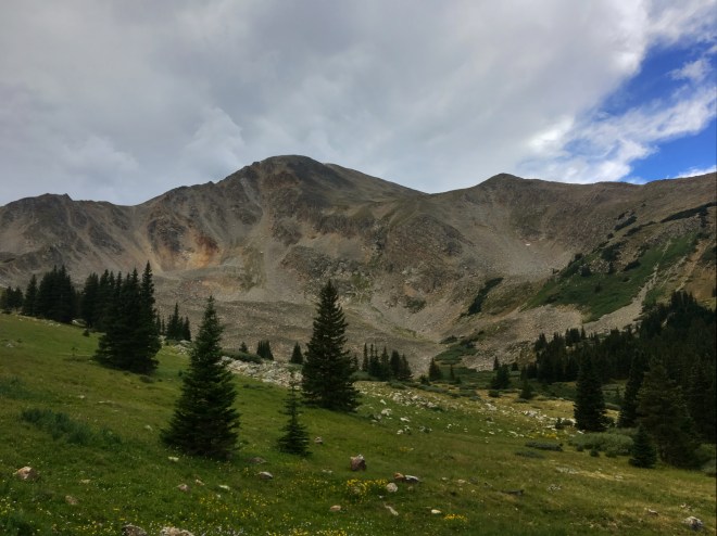
After a couple hours of relaxing at the store, charging batteries and eating ice cream and coke it was time to start climbing up to Hope Pass…definitely the steepest climb so far (4 miles and 3200’ of elevation to an altitude of 12,500’).

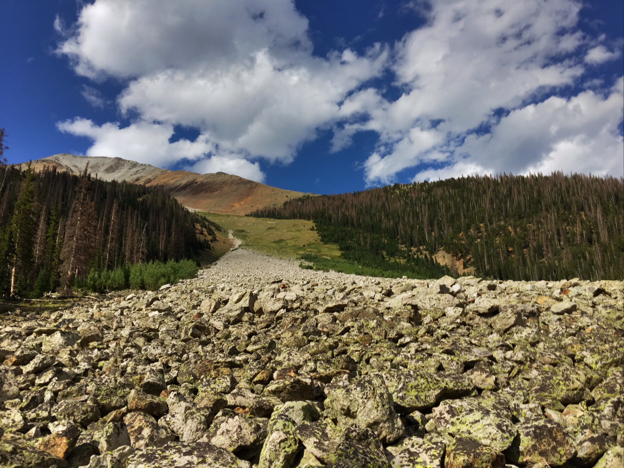
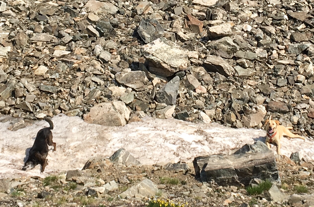
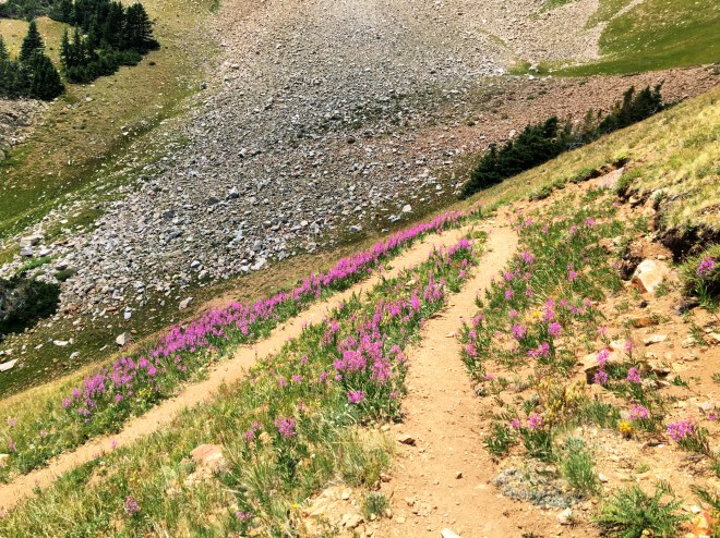
My favorite switchback of the hike 🙂

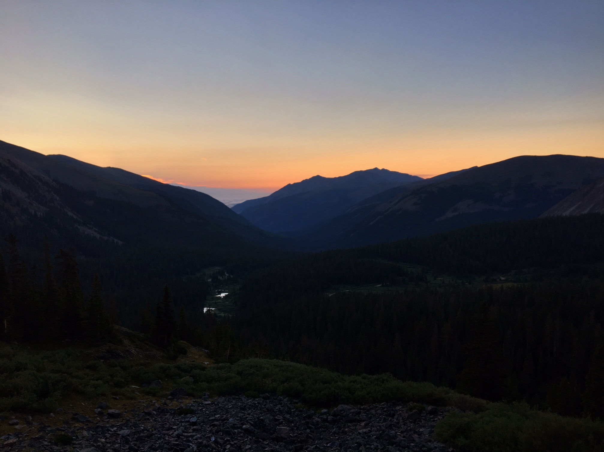
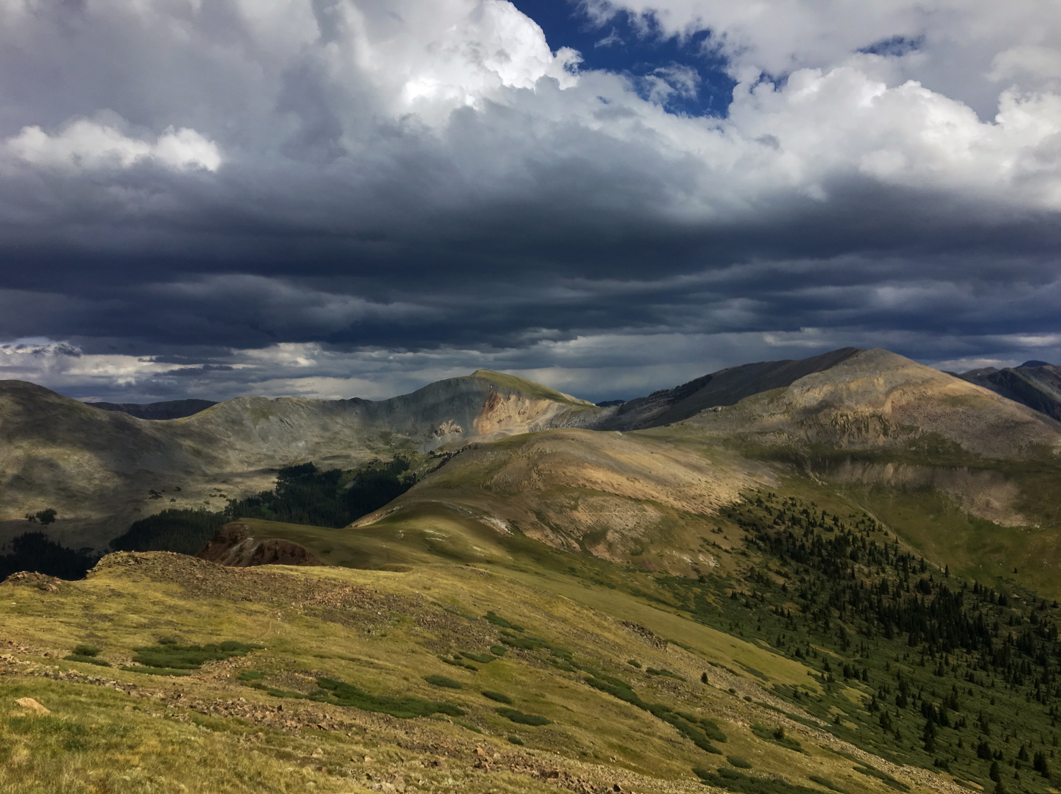
The last view back toward Leadville.

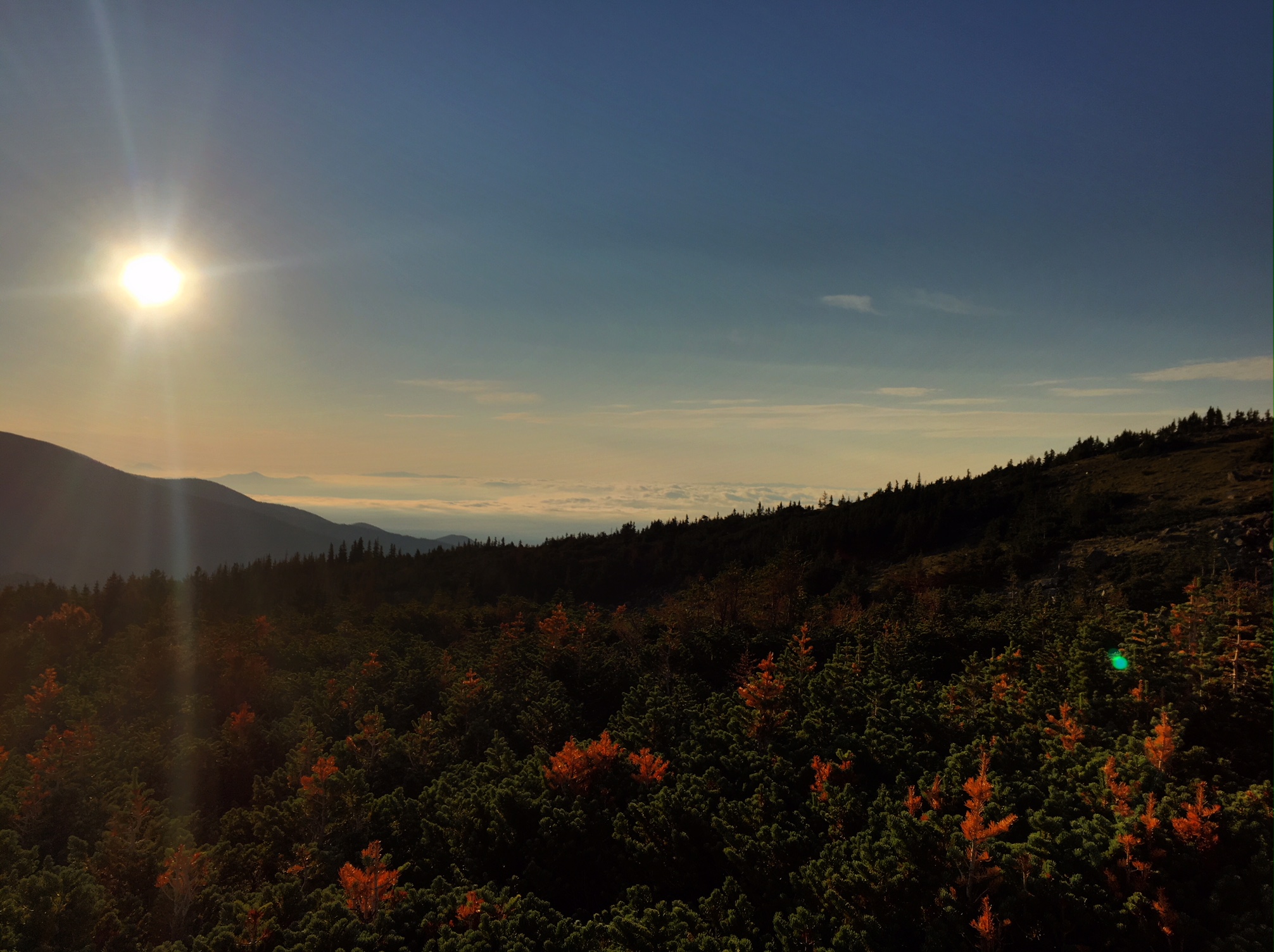
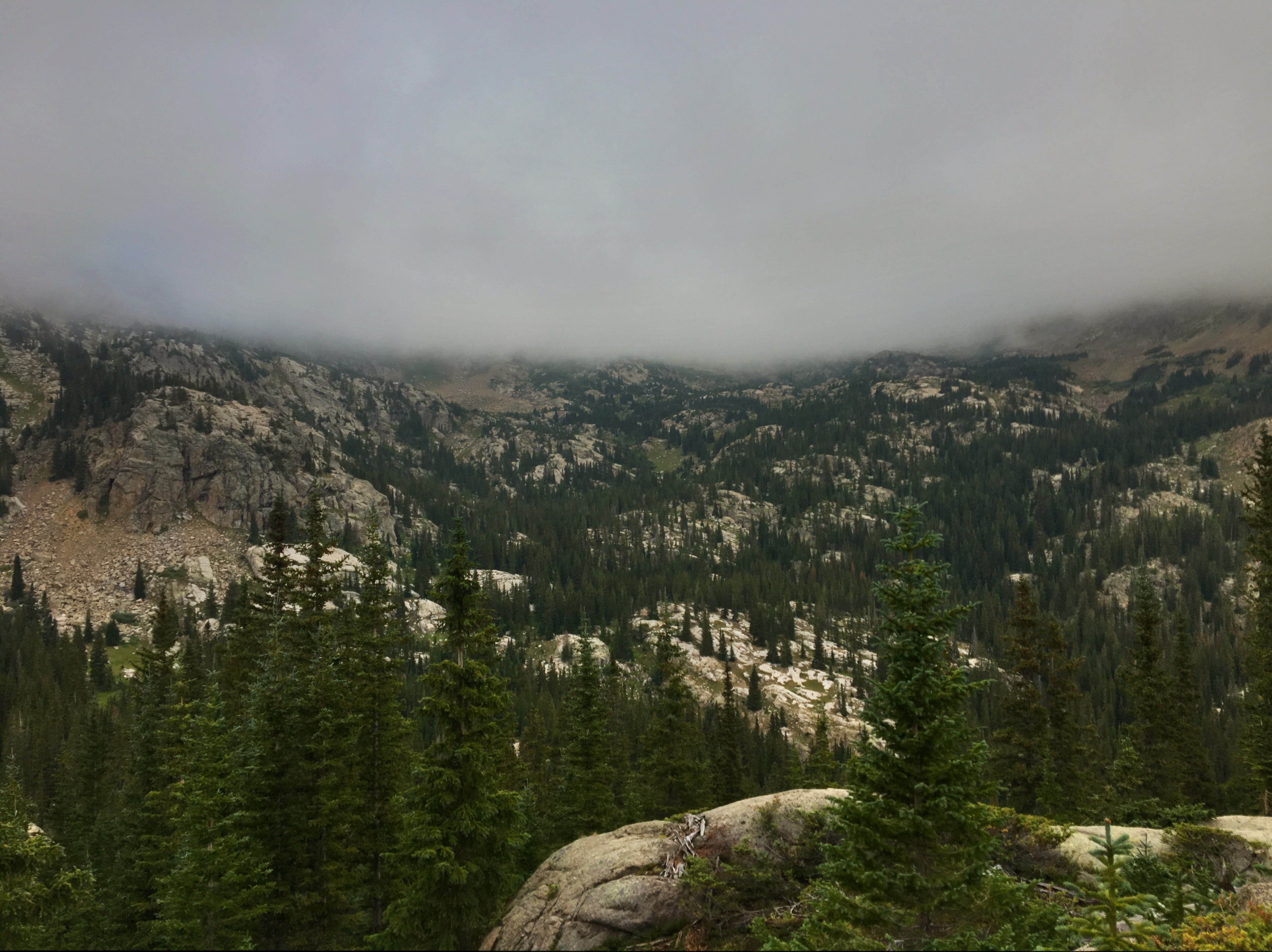
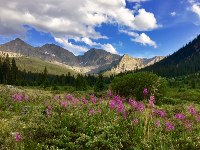
The menacing clouds and sounds of thunder dissipated and the views on the south side of the pass toward the Collegiate Peaks were fantastic.

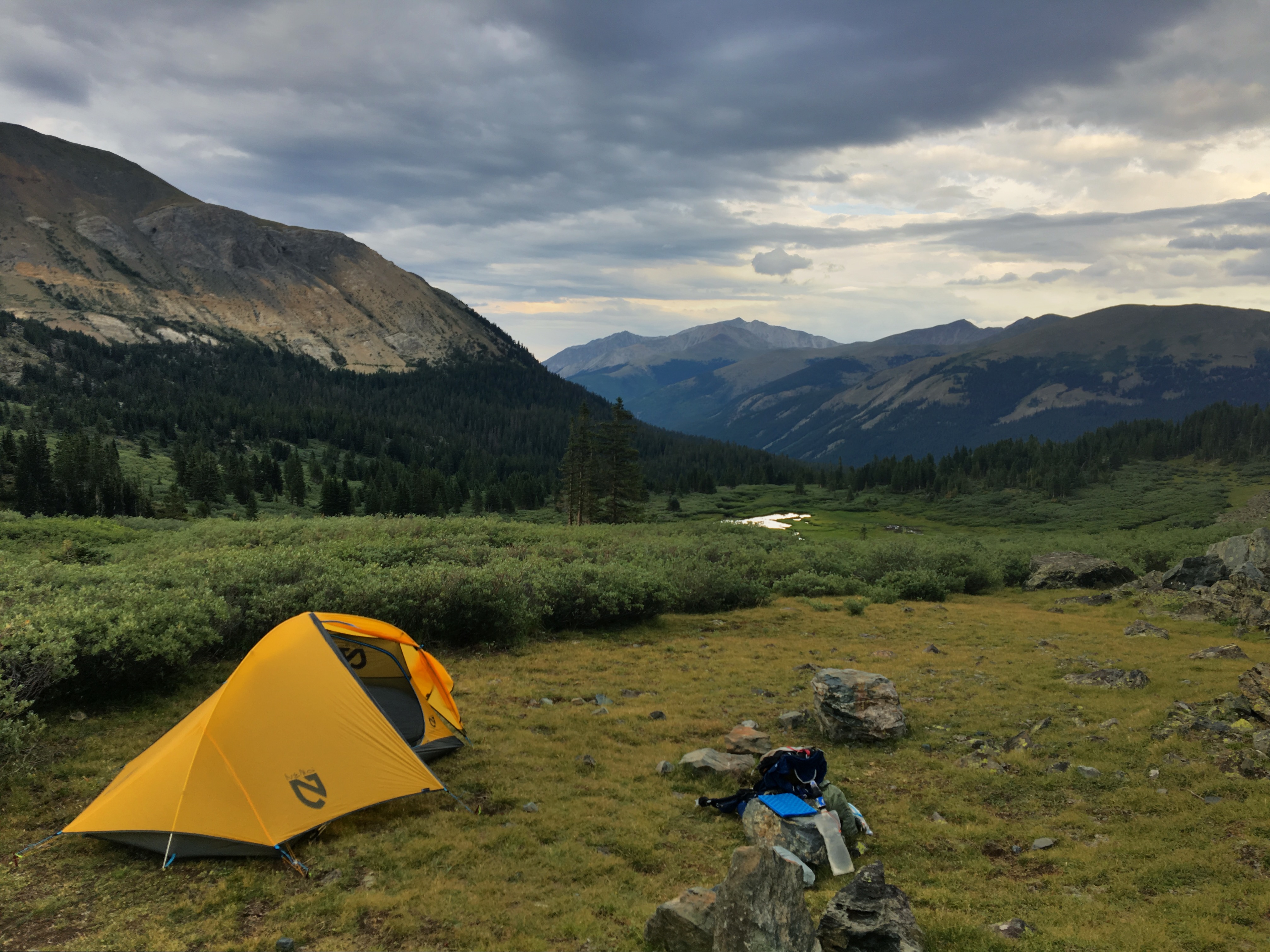
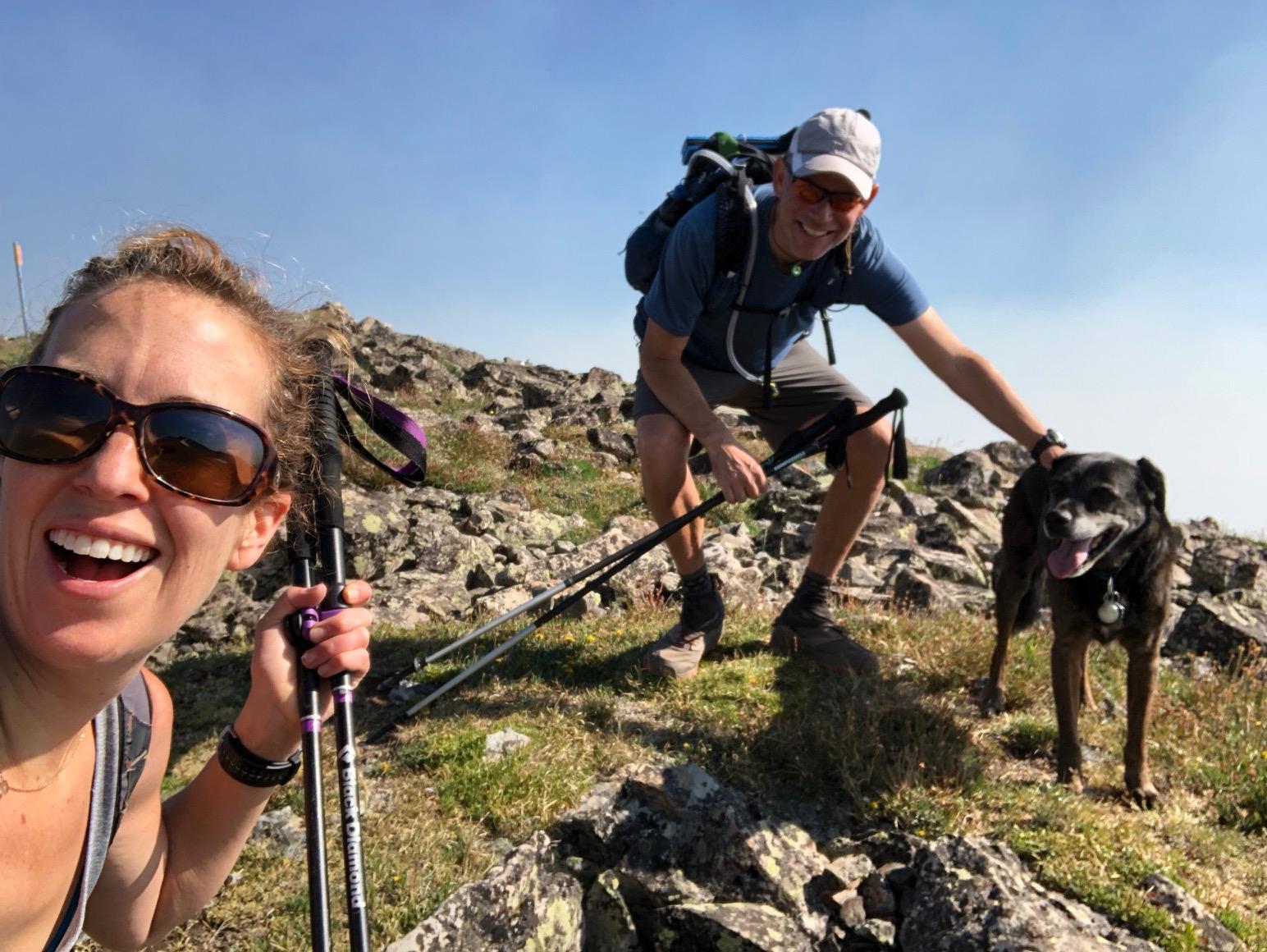
I finished my day around 6:45 at a great campsite next to a creek.

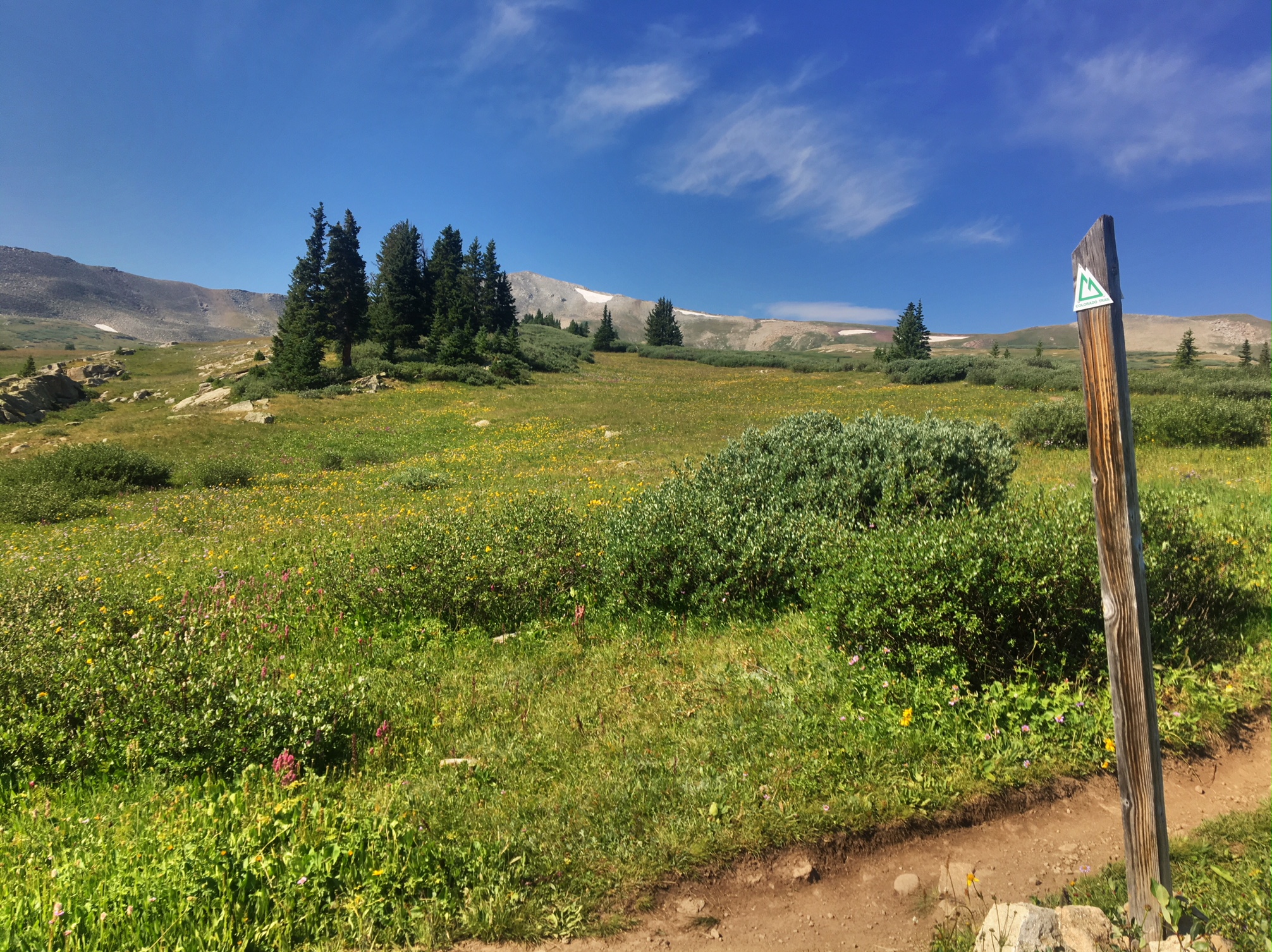
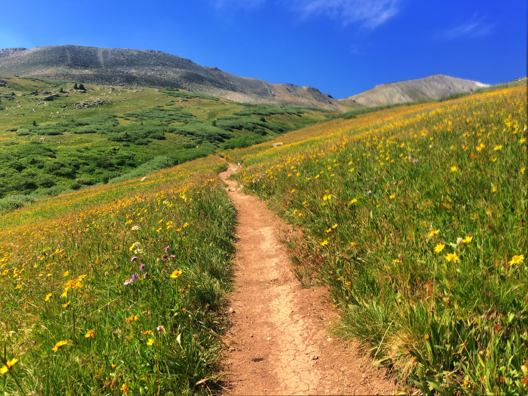
First thing tomorrow I will make my way up 12,500’ Lake Ann Pass and then the end of the day will keep me above treeline for quite a few miles into the next day. Hopefully the weather holds out again!

Day 7, 7/23, 27mi (M-173): Herringbone Creek

It was an overcast morning but relatively mild for 11,000’ The clouds were hanging low obscuring the upper peaks.

Most of the day was spent hiking 1-2mi climbs through pine forests. This was the view to the East back toward Leadville.

A bit to chilly for a dip…at least for my taste.

The weather forecast had called for afternoon thunderstorms and there was fair amount of thunder but only an occasional drizzle before the sun popped back out. This is the view of Mt. Elbert, Colorado’s highest peak and the 2nd highest (~14,450’) in the contiguous US after Mt. Whitney. There is a 3.5mi side trail that will get you there…I skipped it as I’ve done it before, plus an extra 4000’ of climbing didn’t sound terribly appealing at the time.

Today’s miles weren’t easy with the constant up and down but they did seem to tick by without too much extra effort. I managed to roll into camp at the reasonable hour of 6:15 and listened to more thunder roll by from my tent.

Day 6, 7/22, 25mi (M-146): Tennessee Creek

Today was a fantastic stretch of trail. Quite a bit of it I’ve done before both in the winter (Janet’s Cabin and the Mitchell Creek ski tour) as well as summer excursions up Guller Creek from copper.

This was last nights sunset over Frisco. The sun was a ball of fire as it burned through the smoky sky.

After taking the 6:30am bus to Copper to pick up where I left the trail yesterday, I made my way under the ski lifts before re-entering the forest.

Working my way up Guller Creek above tree line.

The wildflowers on the way to Searle Pass were phenomenal!

Looking back toward Frisco and the Gore Range.

The trail is incredibly well maintained…so smooth and well graded.

A field of dreams

I finished the day just beyond Tennessee Pass near Leadville, CO. After only see three other thru hikers all day there were four other tents set up by the creek I planned to stay at…fortunately there was plenty of room 🙂

Day 5, 7/21, 15mi, M-119: Copper to Frisco

Looks like this one got lost in cyberspace…

Today was slackpack day (hiking without all my backpack gear). Nora and I drove with her dogs over to Copper and hiked back to Frisco (the opposite direction I had been hiking the trail).

It was a beautiful morning other than the smoke that was blowing into the area.

The crest of the Ten Mile Range. You can see one of the Breckenridge lift terminals on the left.

The dogs found every snow patch and rolled around to cool themselves off.

When not in snow patches mountain creeks did the trick too.

A rare pic of me 🙂

And another…

The burn area from last years Peak 2 fire.

Selfie with Nora and Fred the dog (Charlie the Yellow Lab not present).

Tired pups back at the condo.

Tomorrow I’ll take the free Summit Stage bus back to Copper to pick up the trail where I left off.