Day 5, 7/21, 15mi, M-119: Copper to Frisco

Looks like this one got lost in cyberspace…

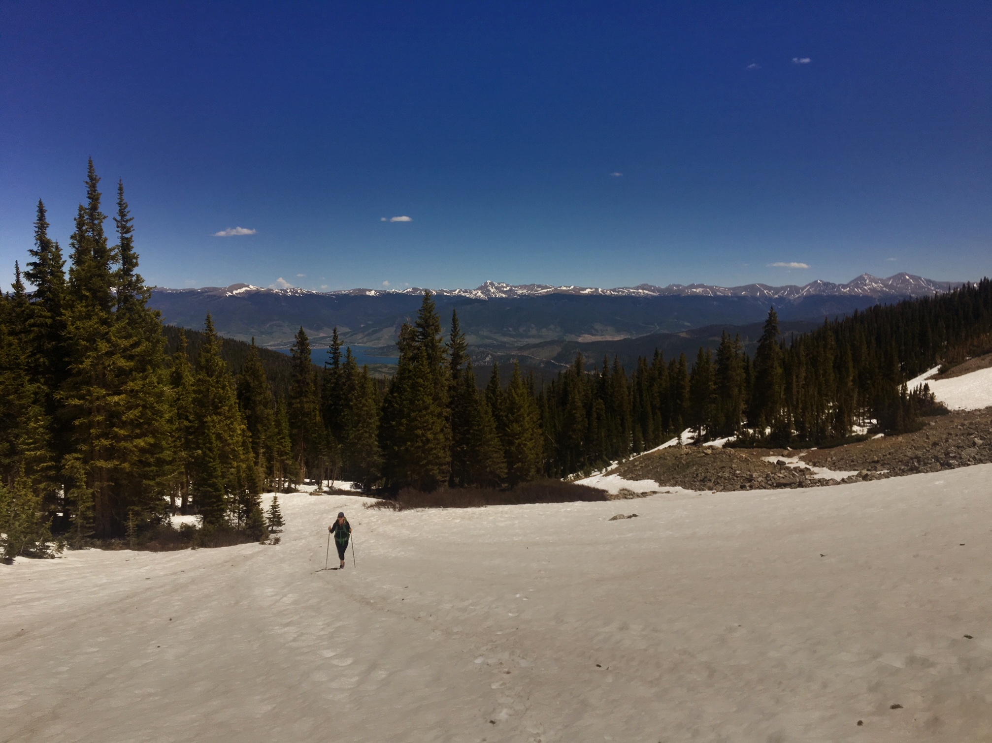
Today was slackpack day (hiking without all my backpack gear). Nora and I drove with her dogs over to Copper and hiked back to Frisco (the opposite direction I had been hiking the trail).

It was a beautiful morning other than the smoke that was blowing into the area.

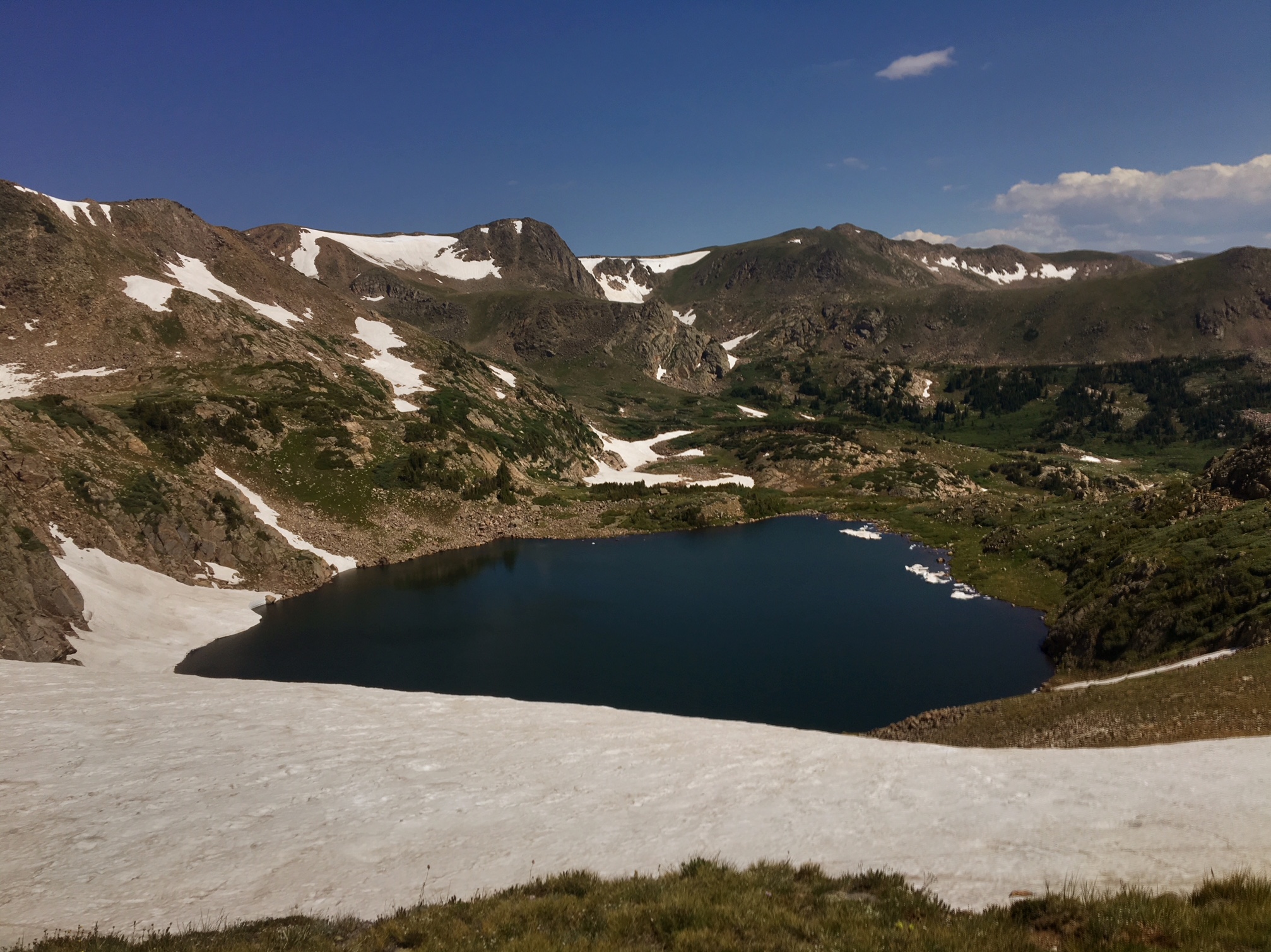
The crest of the Ten Mile Range. You can see one of the Breckenridge lift terminals on the left.

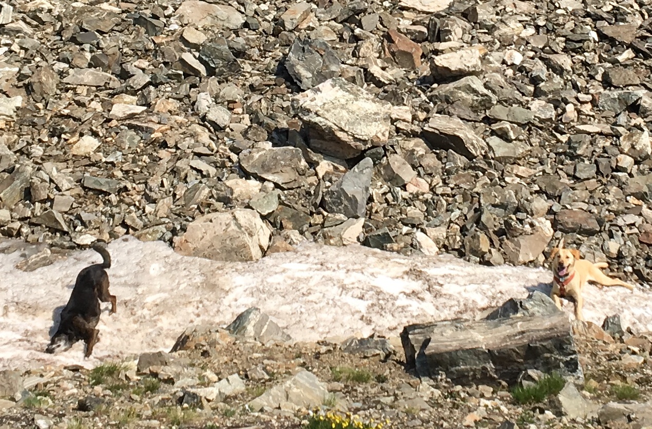
The dogs found every snow patch and rolled around to cool themselves off.

When not in snow patches mountain creeks did the trick too.
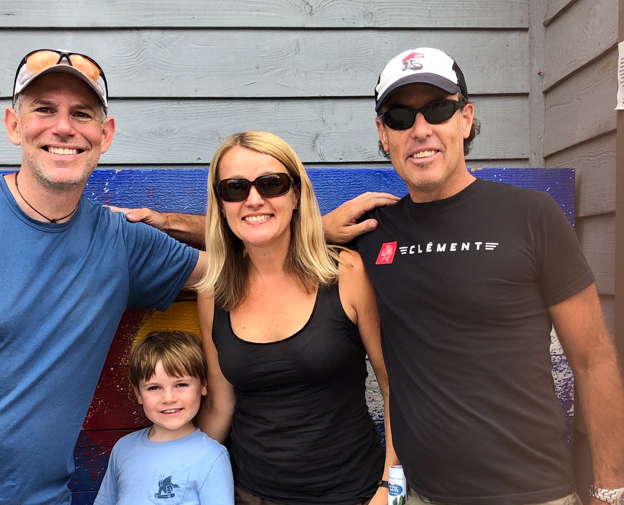
A rare pic of me šŸ™‚

And another…

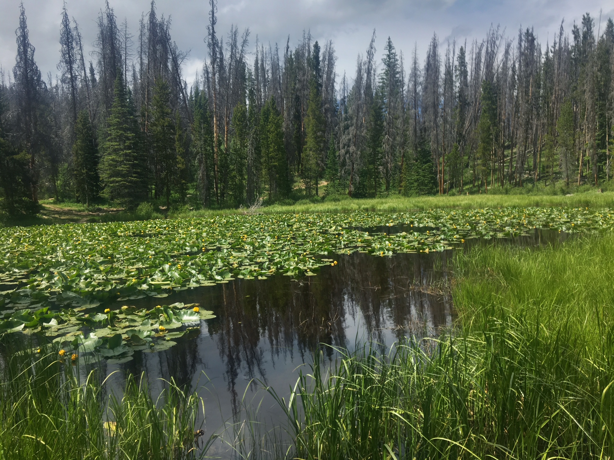
The burn area from last years Peak 2 fire.

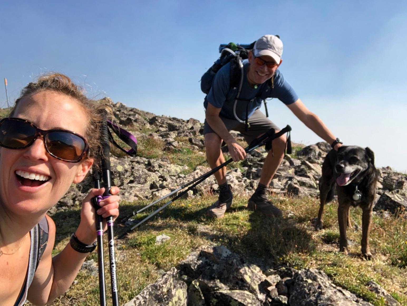
Selfie with Nora and Fred the dog (Charlie the Yellow Lab not present).

Tired pups back at the condo.

Tomorrow I’ll take the free Summit Stage bus back to Copper to pick up the trail where I left off.

Day 4, 7/20, 25mi, M-104: Frisco

I got a nice early start for the final 2.5mi climb to the top of Georgia Pass. Unfortunately, I was just a minutes late for the last of the sunrise. I did manage to get this cool pic.

The last look of South Park before descending to Summit County.

Wildflowers brightening up the trail.

Ominous clouds over the Ten Mile Range… this pic makes them look angrier than they actually were.

I made it to Highway 9 by 3pm and five minutes later the free Summit Stage bus took me to Frisco. Who do I run into as soon as I get off the bus? Longtime friends Jeanne and Sean with their son Max! The timing was also good because the skies cut loose shortly after I arrived.

My friend Nora put me up in her exceptionally comfy guest bed.

This is what the elevation profile so far. Approx 105mi completes and just under 20,000’ of climbing.

Tomorrow the plan is to do the next section as a day hike from Copper back to Frisco (opposite direction) with Nora and her dogs. Then on Sunday I will take the free bus to Copper and continue where I left off.

Day 1, 7/17, 29mi: Little Scraggy Camp

It’s pretty easy getting to the start of the trail from Denver. The light rail leaves from Union Station and takes about 30mins to Littleton. I was also able to convince my friend Katy (trail angel extraordinaire) to pick me up and drop me off at the trailhead 10mi away at 5:30am!

The official start of the Colorado Trail !

It was nice and cool out first thing in the morning as I followed the South Platte through the canyon (unfortunately, on a dirt road… but bikes and pedestrians only).

First wildlife of the trip.

It was surprisingly lush considering how dry it’s been…lots of berries.

Apparently, the bears like the berries too!

Then there was the exposed burn section during the heat of the day. A little later some clouds rolled in and cooled things off with some sprinkles. The clouds looked angrier with lightning to the South.

Some cool rock formations above my campsite.

My new Nemo Hornet tent šŸ™‚

Pre-trip Training

One of the big benefits to living in Colorado is the great access to incredible training hikes… especially at altitude!

Traveling over the Ten Mike range in mid June (part of the Colorado atrail near Frisco).

Testing out the new tent (Nemo Hornet Elite) in the Gore Range (Ten Mike Range on horizon).

A hike up Herman Gulch along the Continental Divide Trail.

First Columbine of the season !

More wildflowers and some snow.

A hike around Buffalo Mtn. via Lilly Pad Lake.

Mt. Crested Butte in the distance.

The Elk Range and the 401 Trail.

Standing on the Continental Divide above King Lake in the Indian Peaks Wilderness.

Columbine everywhere !

Indian Peaks wildflower meadow.

Moose in the Gore Range:Ā 

Mountain Goat grazing near Pawnee Pass

Coming soon (as in tomorrow!), the Colorado Trail a ~500 route that goes from just outside Denver, Colorado across the state to Durango. No permits are necessary and there are many places along the way to resupply, typically every 3-5 days.

There is a fairly short window of time to hike the whole trail as snow often presents a serious challenge well into June and some years well into July. Delay too long, and come September early season snowstorms are not uncommon.

The biggest challenges for a hike like this are: the altitude (30% less oxygen at the high points ), afternoon electrical storms with monsoon rains and hail (especially above tree line), wildfire closures (currently the last 70 miles are closed…just reopened!), and figuring out how to get home (not much public transportation and hard to nail down my timing 3 weeks out)

Some great resources to find out more about the trail are: The Colorado Trail FoundationĀ and blogger extraordinaire, PMagsĀ Ā 

Cell service is spotty, especially the last half of the route, so don’t despair if there are not daily blog posts coming your way.